Untergailnau Loop
A gravel cycling route starting from Satteldorf
Gravel adventure through scenic countryside
Map
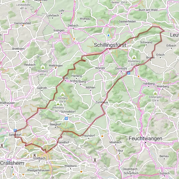
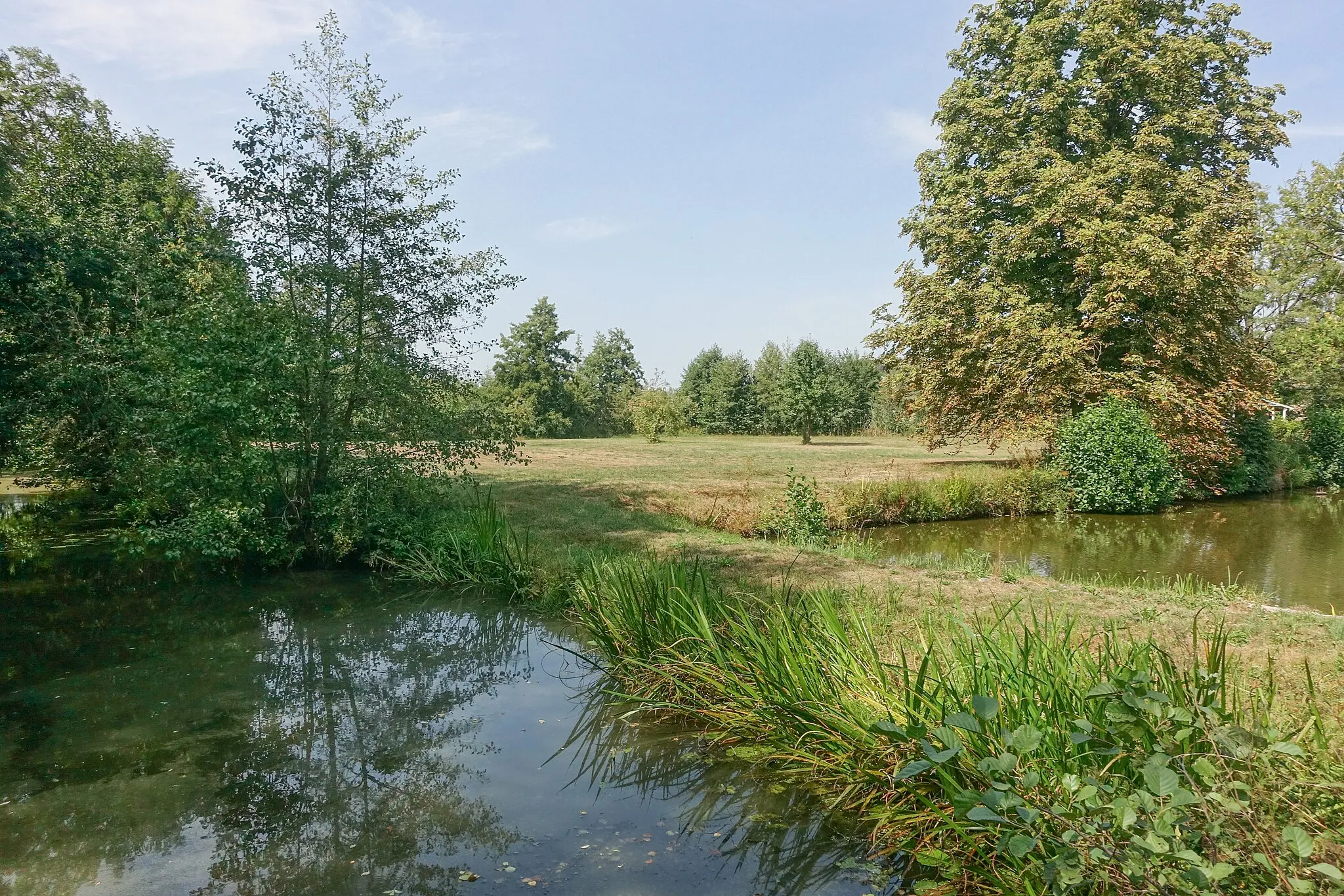
This gravel route takes you through the picturesque countryside near Satteldorf. With a challenging ascent of 843 meters over a distance of 71 kilometers, this loop is perfect for experienced gravel riders seeking both scenic views and a tough physical challenge. Highlights along the route include the charming village of Untergailnau, the idyllic Wölfleinsberg, the historic Münchsberg, and the quaint town of Dombühl. The difficulty of this route is rated 4 out of 5, suitable for well-trained amateurs. It receives an epicness rating of 3 out of 5, making it a rewarding adventure for gravel enthusiasts.
gravel
71 km
843 m
Tough
Route profile
Highlights on the route
0 km
0 km
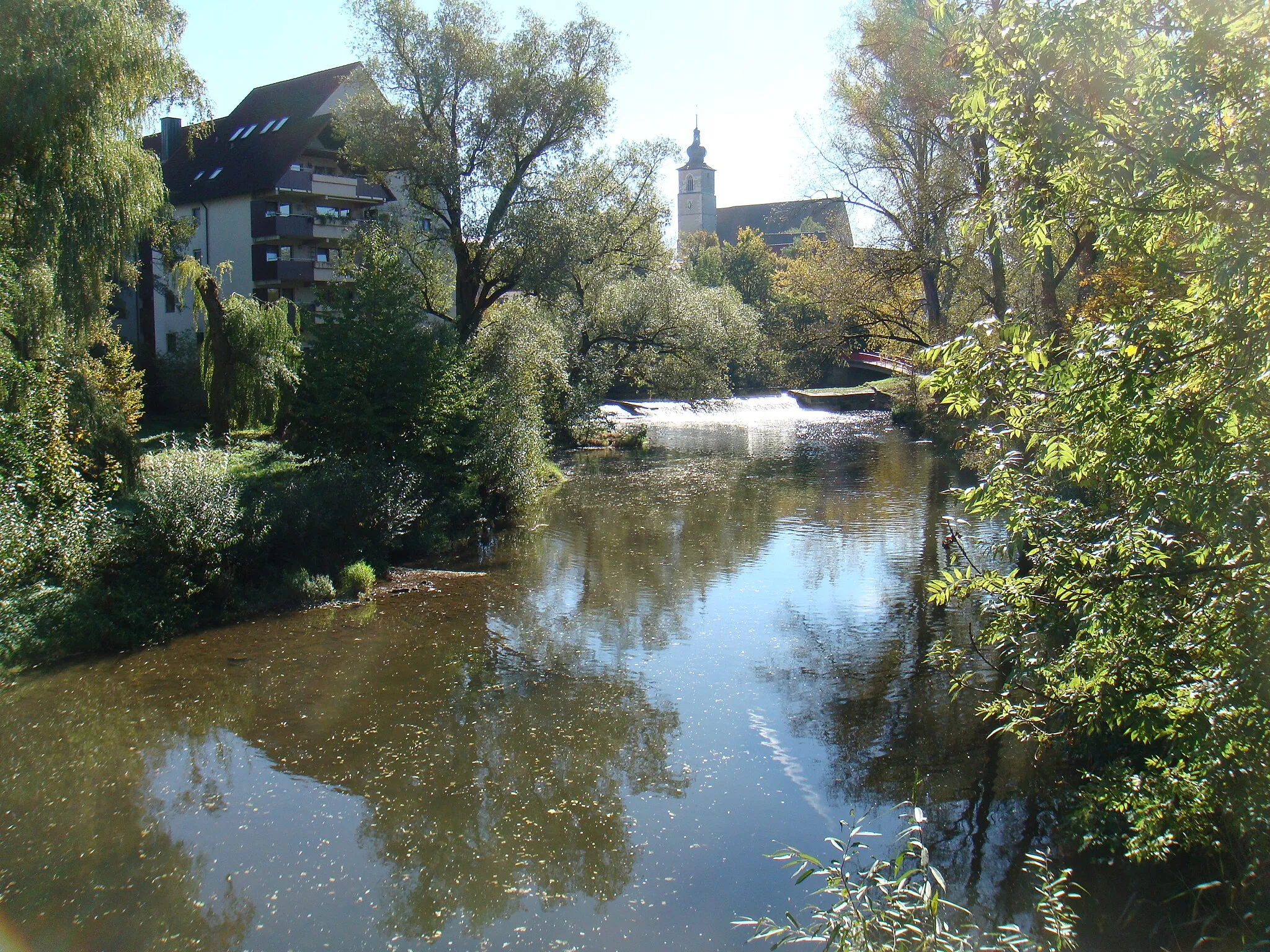
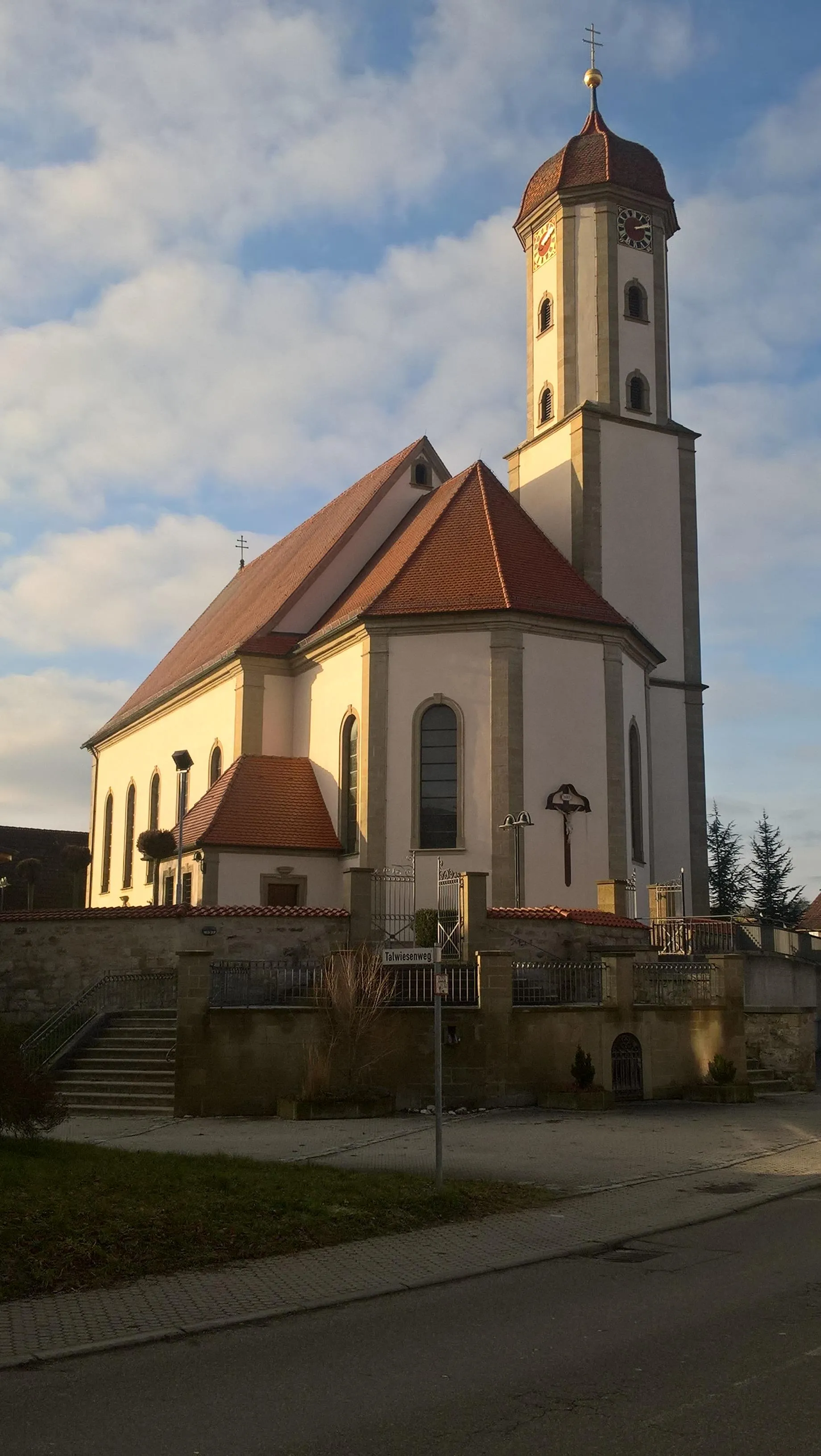
Start: Satteldorf Village centerSatteldorf: Perfect for adrenaline-filled cycling adventures in Stuttgart
Satteldorf, located in Stuttgart, Germany, is an excellent choice for road and gravel cyclists. The locality offers a mix of flat and hilly terrain, providing varied cycling opportunities. The roads are well-maintained, offering smooth rides for cyclists. Satteldorf is home to the well-known climb, Würzburger Stein, a popular challenge among cyclists in the region. The town also boasts various cycling routes, allowing cyclists to explore the surrounding areas. With its diverse landscapes and cycling-friendly atmosphere, Satteldorf is a must-visit destination for cycling enthusiasts.16 km
16 km
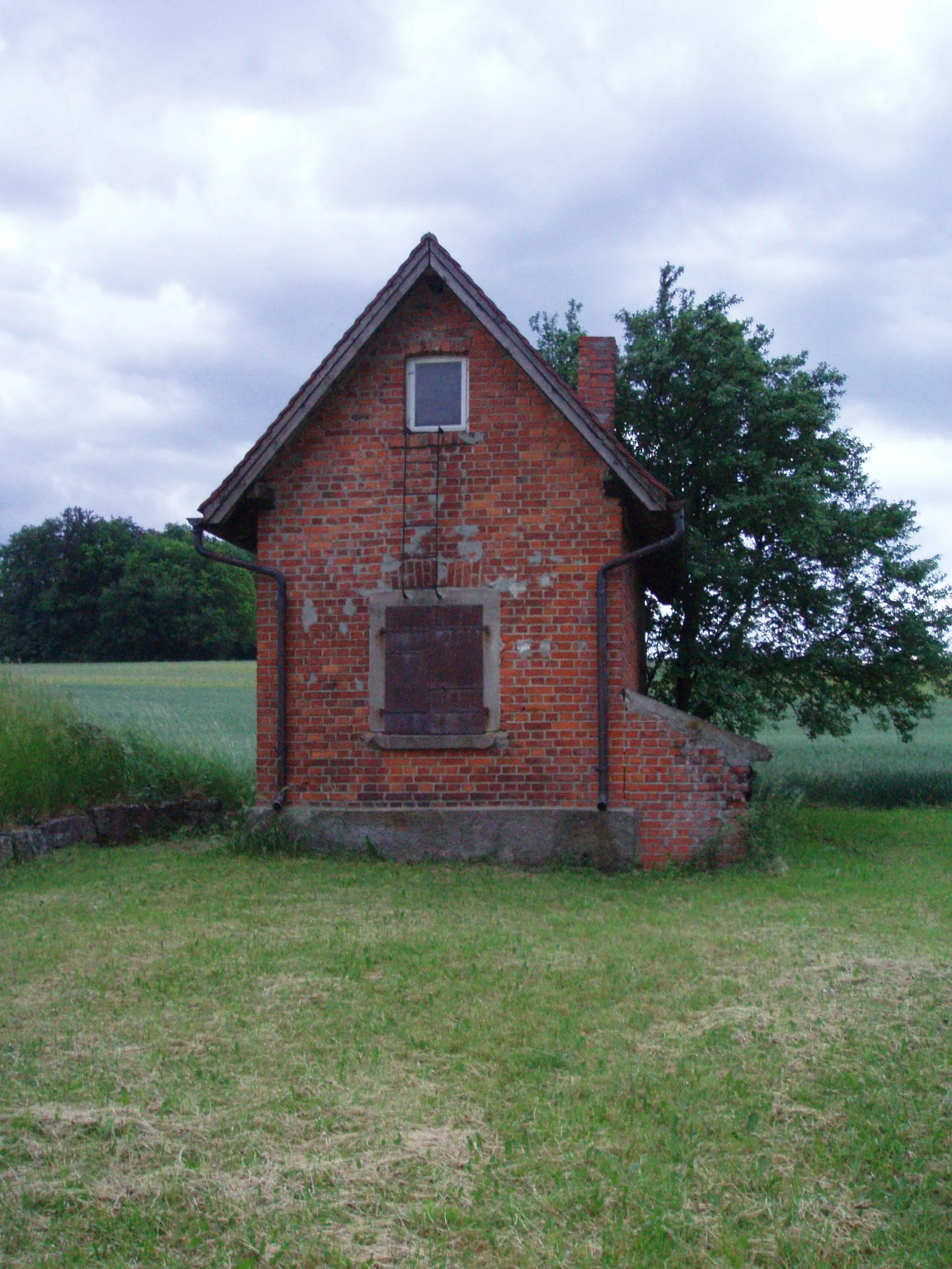
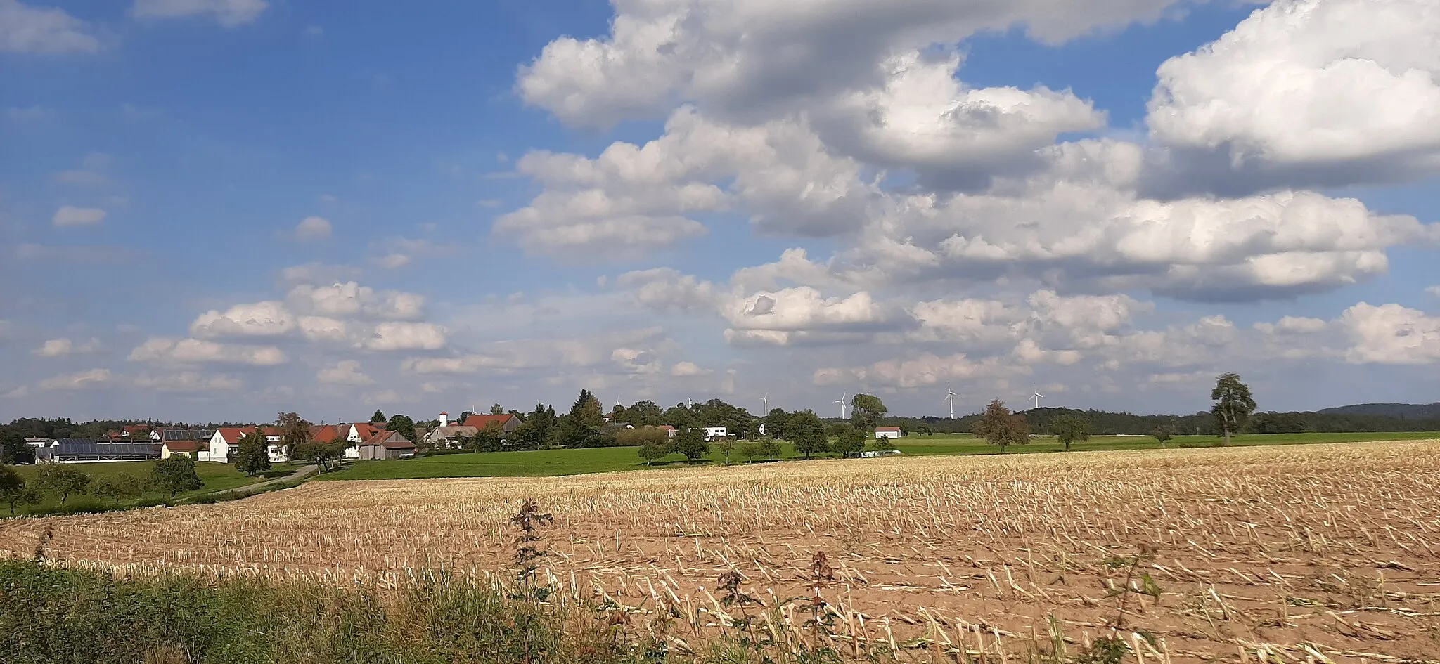
UntergailnauVillageUntergailnau is a charming village known for its traditional half-timbered houses and beautiful surrounding landscape.
17 km
17 km
Wölfleinsberg545 mPeakWölfleinsberg offers stunning panoramic views with its hilltop location. Take a break and enjoy the scenery.
29 km
29 km
Münchsberg500 mPeakLocated on top of a hill, the Münchsberg offers a challenging climb followed by a rewarding view of the surrounding countryside.
43 km
43 km
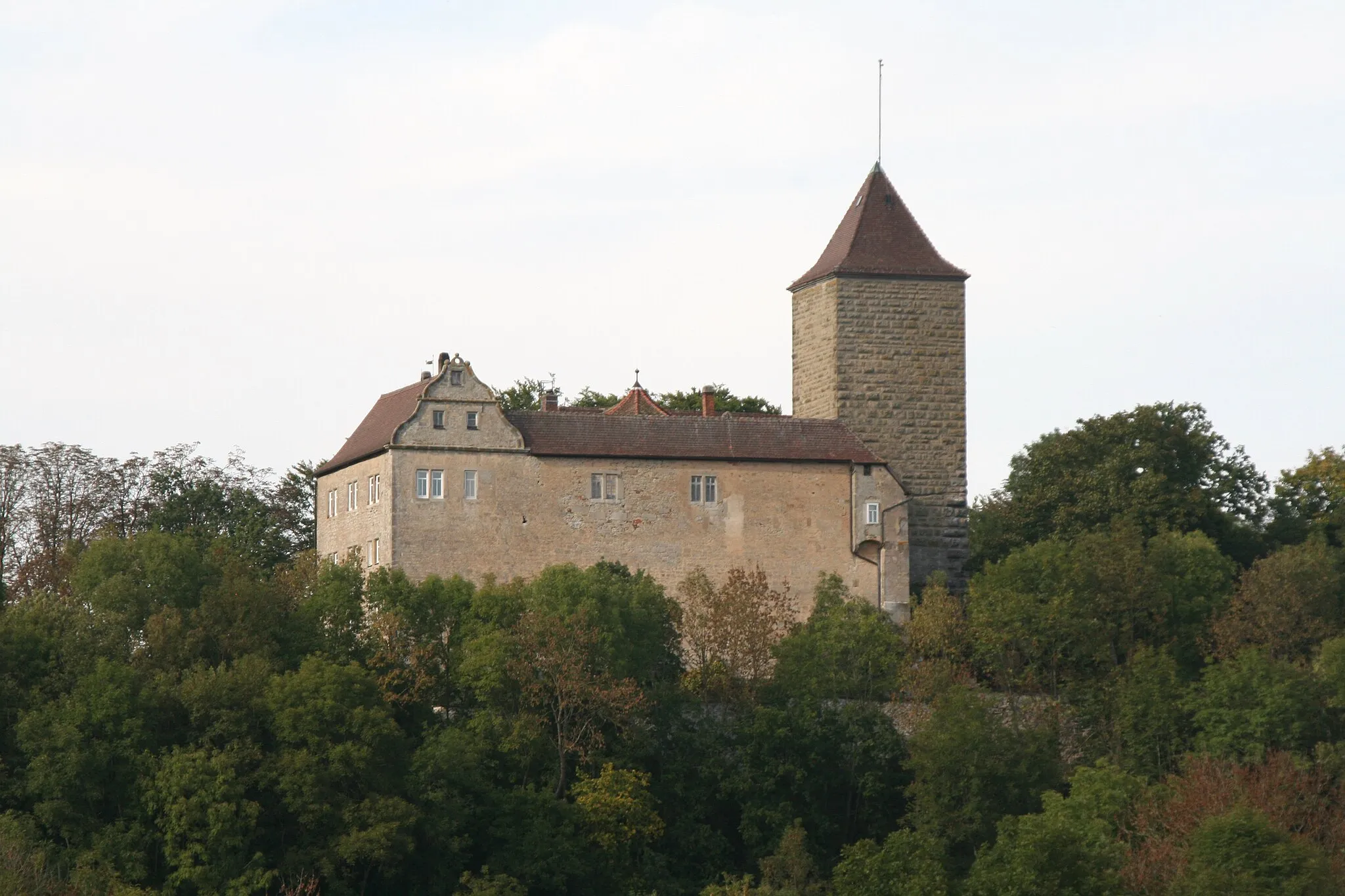
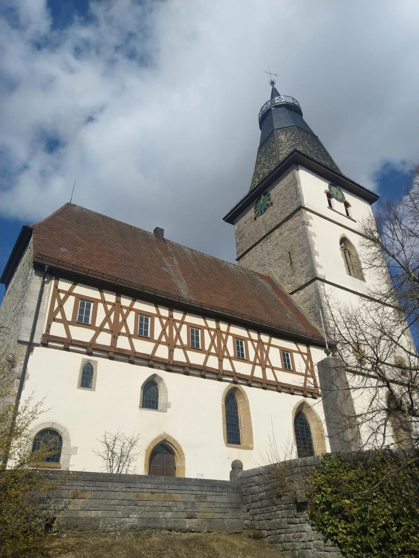
DombühlVillageDombühl is a historic town with well-preserved medieval buildings and charming streets to explore.
46 km
46 km
Straubenberg522 mPeakStraubenberg serves as a picturesque landmark with its high elevation and impressive views of the surrounding area.
54 km
54 km
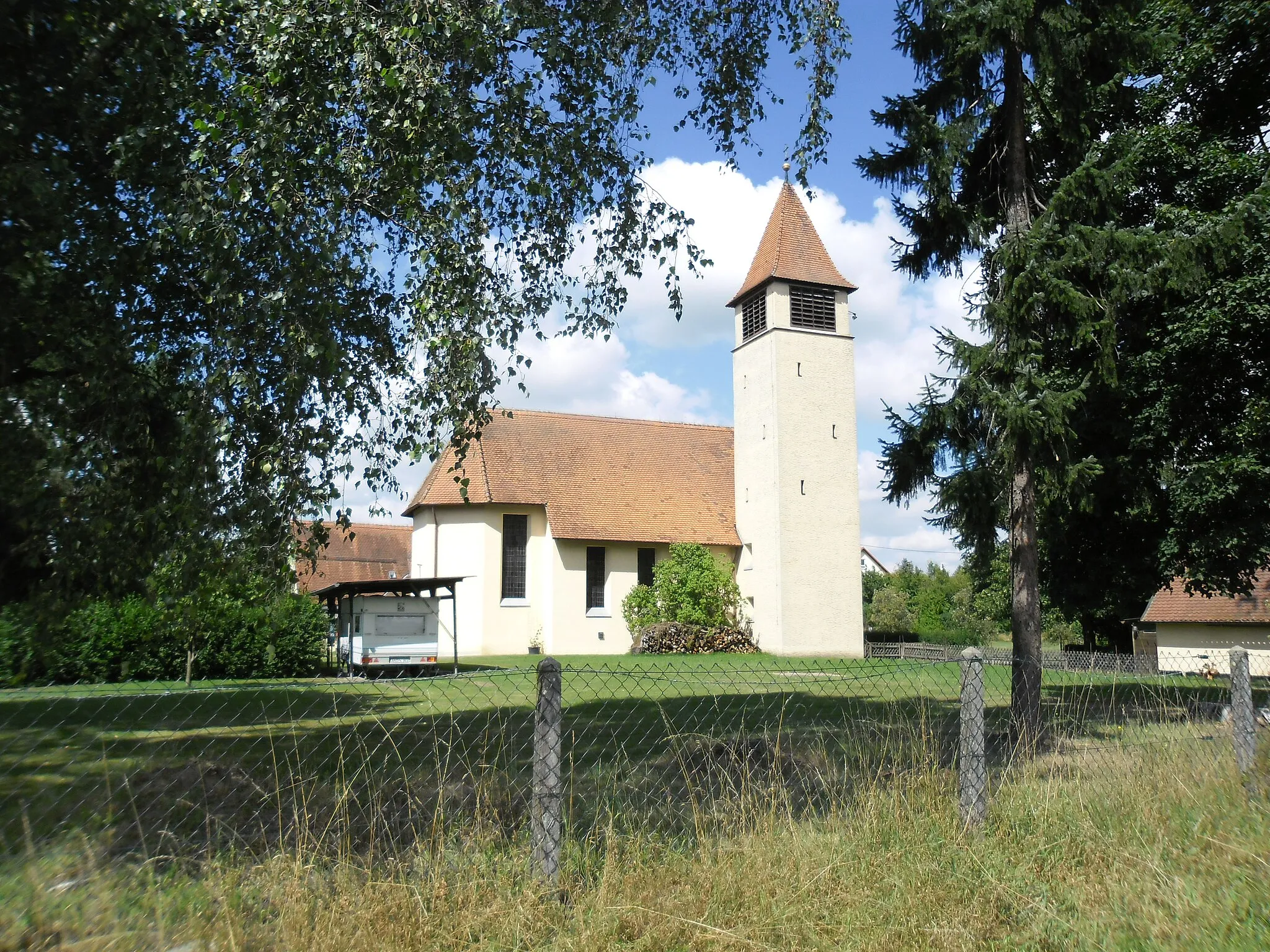
UnterampfrachVillageUnterampfrach is a small village known for its tranquil setting and beautiful countryside.
61 km
61 km
Roter Berg535 mPeakRoter Berg offers a challenging climb and rewards riders with breathtaking panoramic views from the top.
71 km
71 km
SatteldorfVillageSatteldorf is a welcoming starting point with its convenient amenities and friendly local community.
71 km
71 km
Finish: Satteldorf Village centerSatteldorf: Perfect for adrenaline-filled cycling adventures in Stuttgart
Cycling routes nearby: