Diverse terrain and stunning landscapes for thrilling rides.
Cycling routes from Schnelldorf
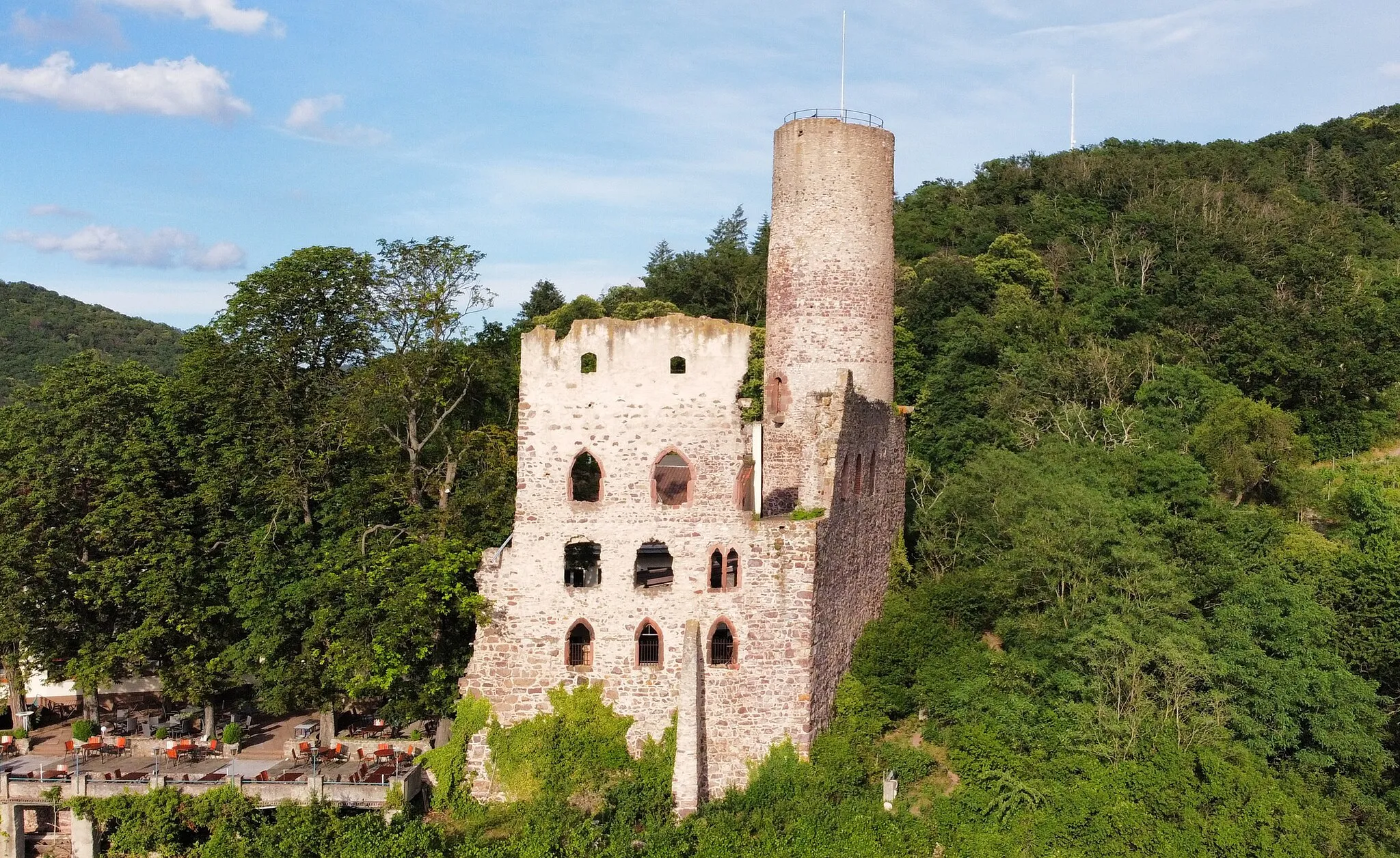
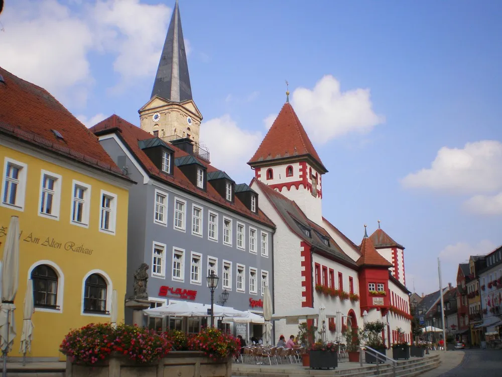
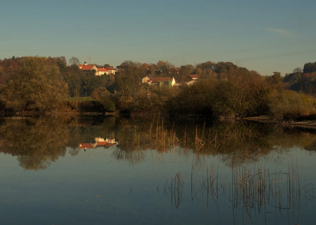
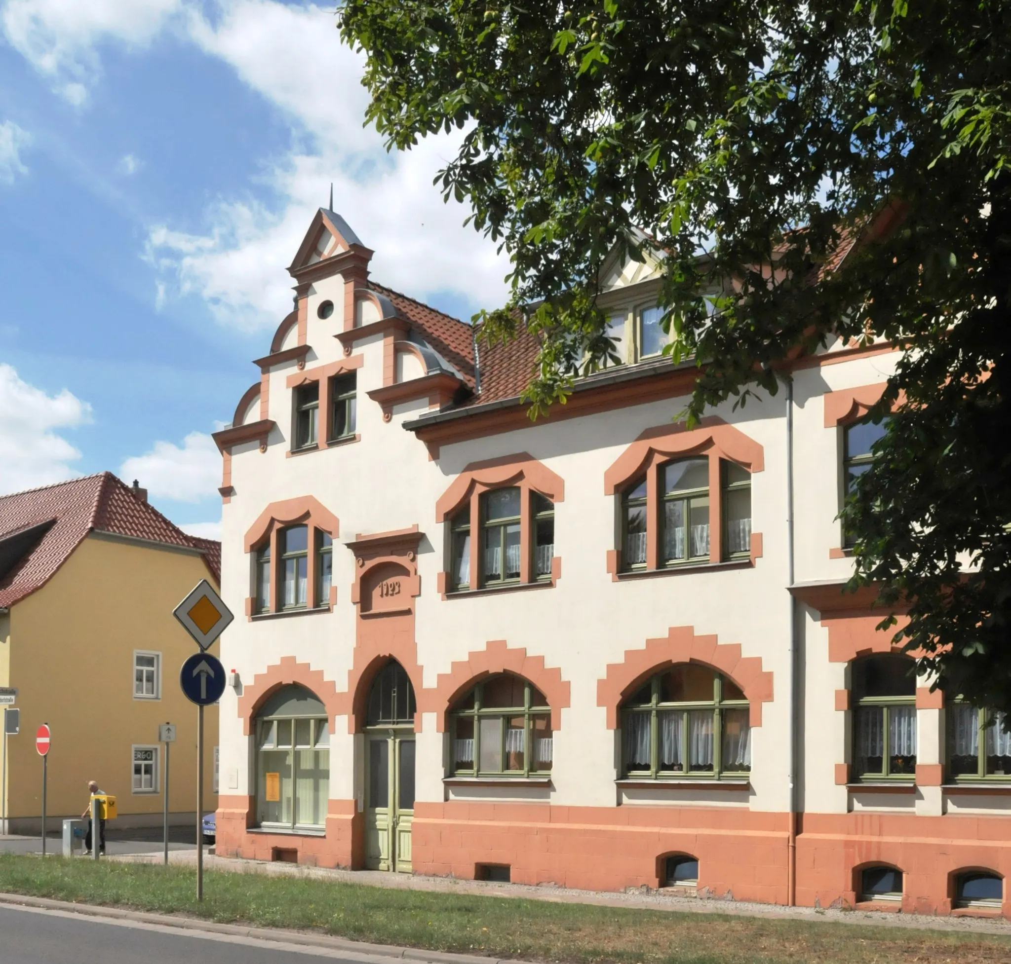
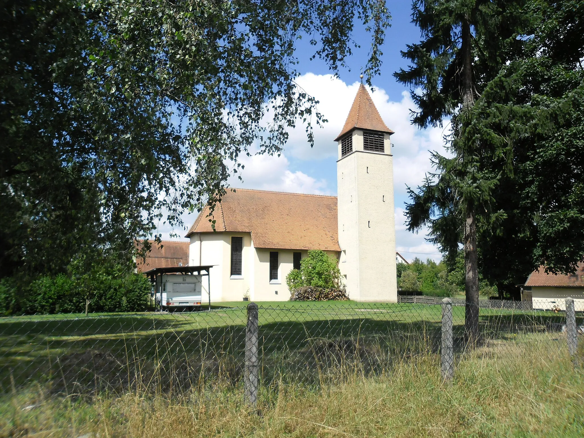
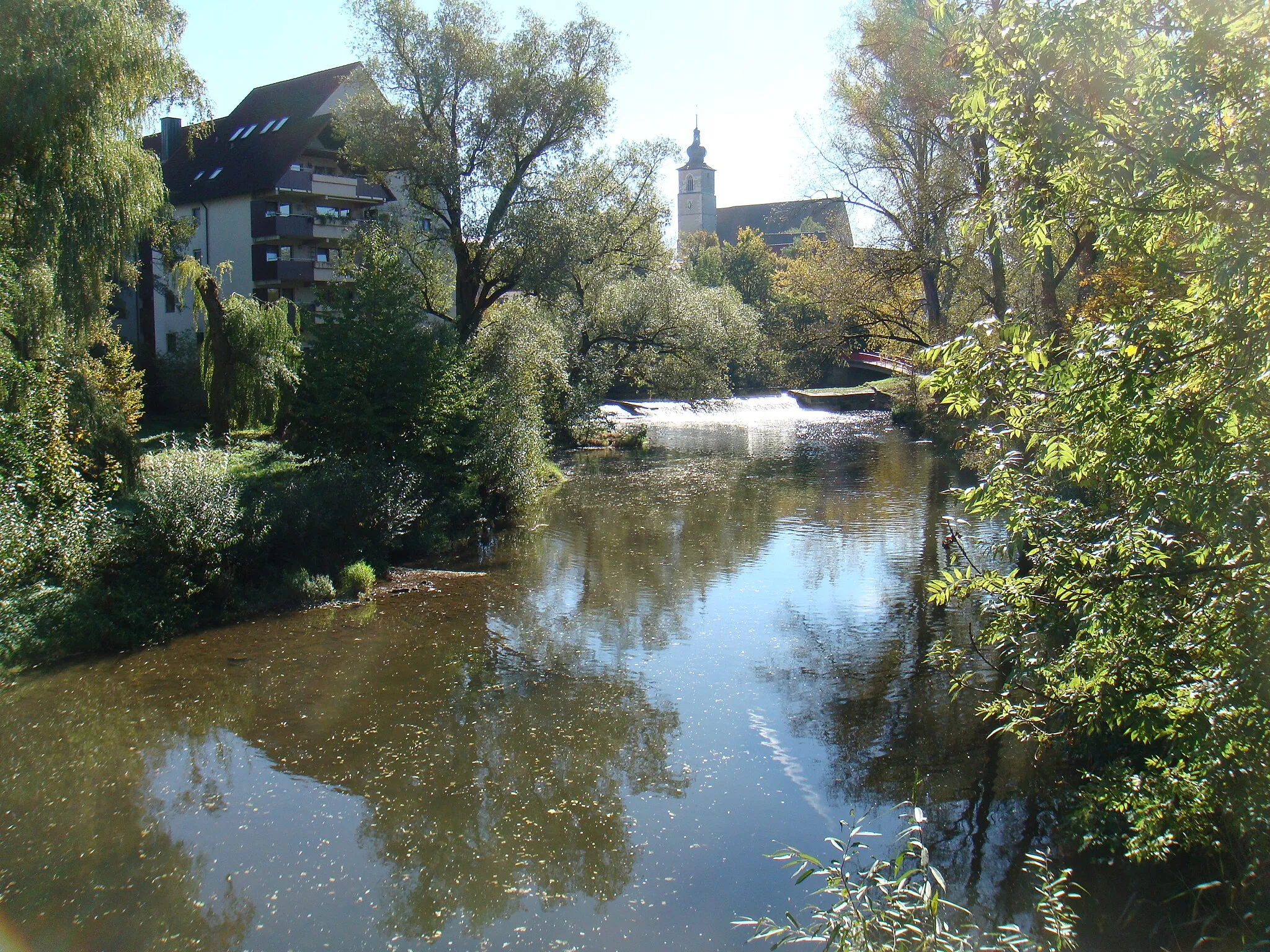
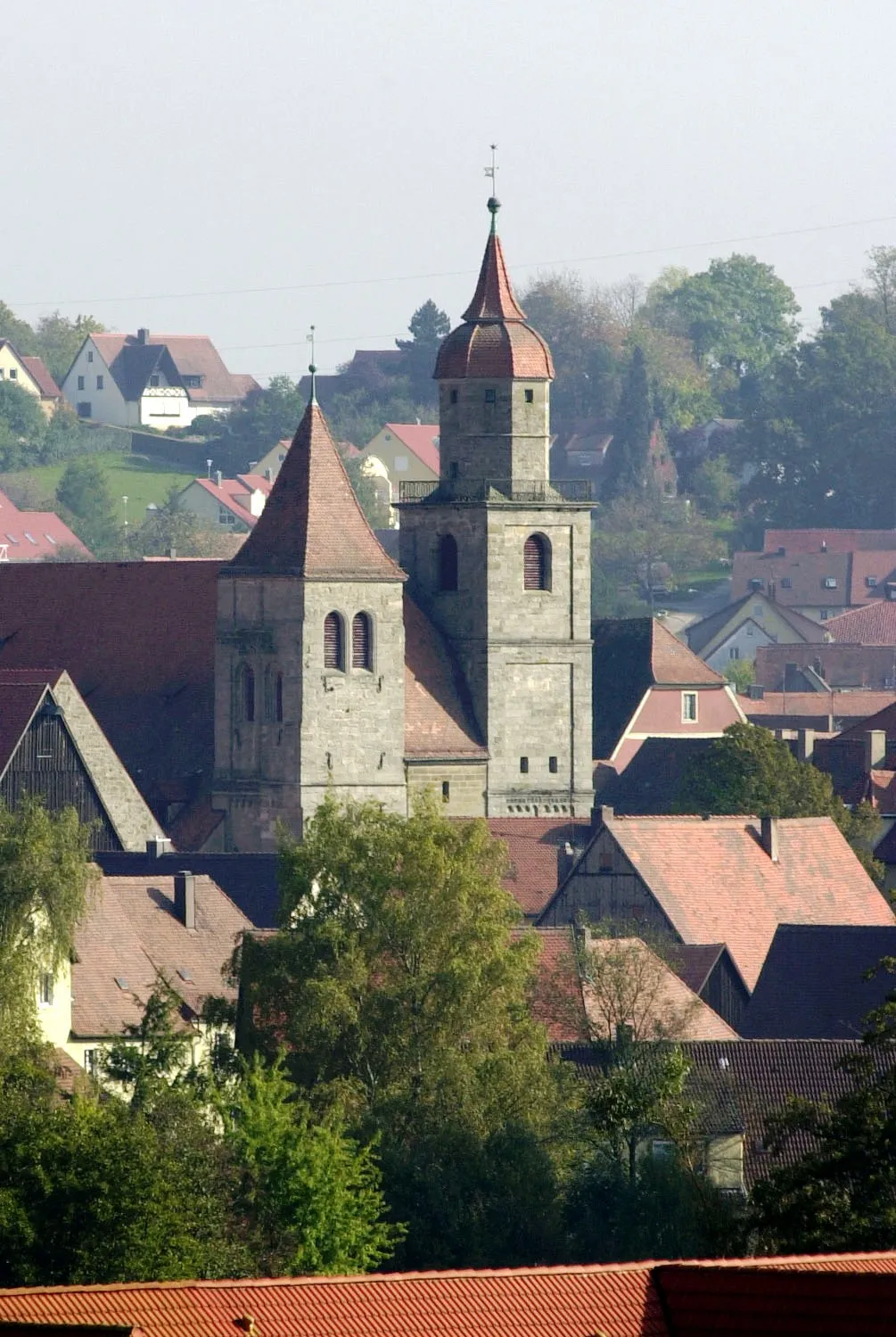
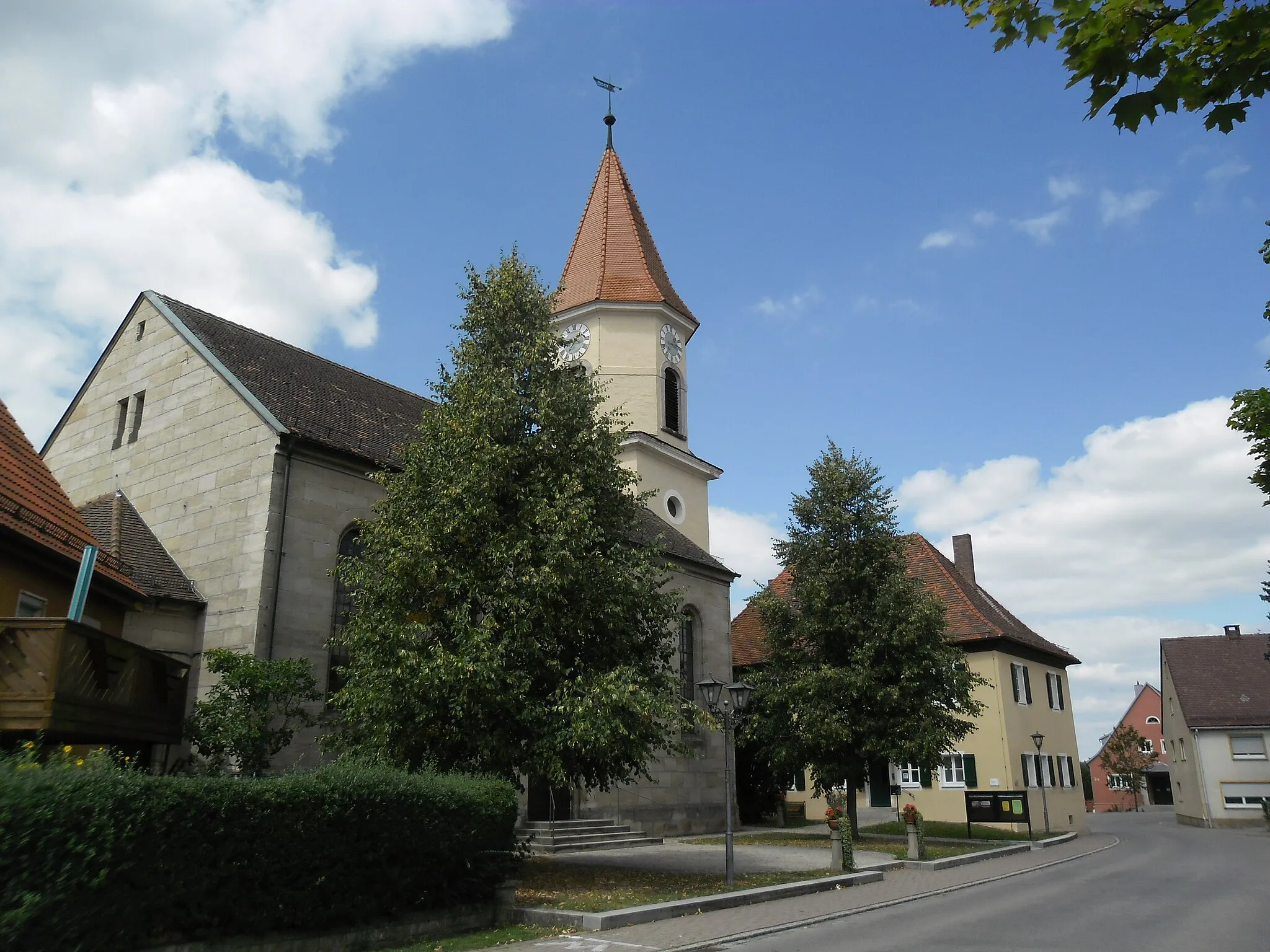
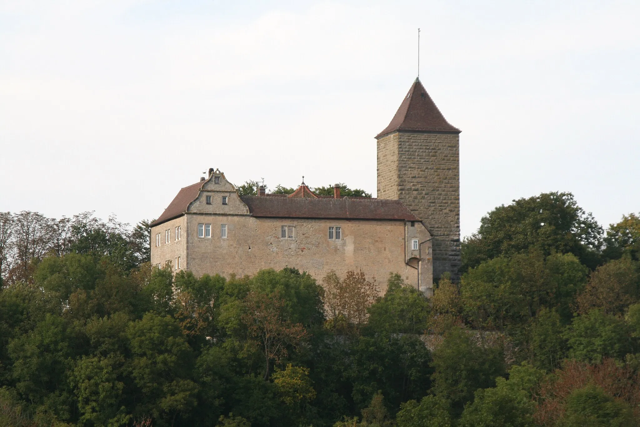
Schnelldorf, situated in Mittelfranken, Germany, is a cyclist's delight featuring diverse terrain and awe-inspiring landscapes. The locality offers several road cycling routes that wind through both flat stretches and challenging hills. Cyclists can encounter quaint villages and stunning natural scenery along the way. Schnelldorf's proximity to the Franconian Heights, renowned for its challenging climbs and rewarding descents, further enhances its appeal to cyclists seeking exhilarating experiences. With its varied terrain and access to notable cycling spots, Schnelldorf ranks highly as an enticing destination for road and gravel cycling enthusiasts.
Unterampfrach Adventure Loop

Scenic gravel route through Unterampfrach
This gravel cycling route takes you through the scenic landscapes of Unterampfrach. The total distance of the route is 39 km, with an ascent of 284 meters. It is suitable for well-trained amateur cyclists with a difficulty level of 2. With a score of 3, this route offers a unique gravel cycling experience in a charming countryside setting.
Picturesque road cycling route with panoramic views
This road cycling route takes you from Schnelldorf to Roter Berg and back, offering picturesque landscapes and panoramic views. The total distance of the route is 43 km, with an ascent of 346 meters. It is suitable for well-trained amateur cyclists with a difficulty level of 3. With a score of 3, this route offers stunning views and a memorable cycling experience.
Embark on a scenic road adventure through charming towns and stunning natural beauty
This 151 km road route offers remarkable sights and natural landscapes, with a challenging ascent of 936 meters. Starting from Schnelldorf, cyclists will journey through notable highlights such as Dombühl, Käferbuck, Muhr am See, and Dinkelsbühl. The picturesque towns, breathtaking vistas, and cultural attractions along the way make this route an excellent choice for an adventurous and culturally rich cycling experience. With moderate to high difficulty, this route is recommended for well-trained cyclists seeking a rewarding challenge. Overall, it promises an exceptional journey through the region's diverse landscapes and historical landmarks.
Embark on a daring road adventure through charming Bavarian towns
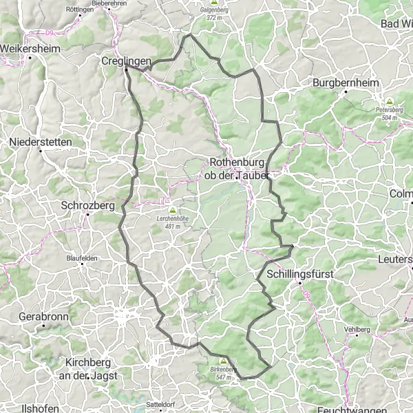
This 102 km road route is sure to push your limits, with a challenging ascent of 1057 meters. Starting from Schnelldorf, the route takes you to Birkenberg, Creglingen, Steinsfeld, and Neusitz. Along the way, you'll encounter stunning landscapes, charming villages, and significant cultural landmarks. With high difficulty and a demanding road surface, this route is recommended for experienced cyclists seeking a thrilling challenge. Overall, it offers a unique opportunity to explore picturesque Bavarian towns while enjoying the region's natural beauty.
Venture into the wild beauty and discover hidden gems
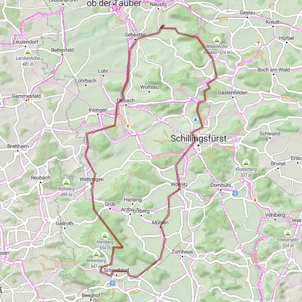
This 54 km gravel route offers a thrilling exploration of Schoellnach with 493 meters of ascent. From Schnelldorf, cyclists will make their way to Sonnenberg, Gebsattel, and Schillingsfürst. The diverse terrain, dense forests, and unspoiled nature along the route make it a paradise for gravel bike enthusiasts. Overall, this route provides an exhilarating cycling experience through unique landscapes and lesser-known attractions, allowing riders to uncover hidden gems along the way.
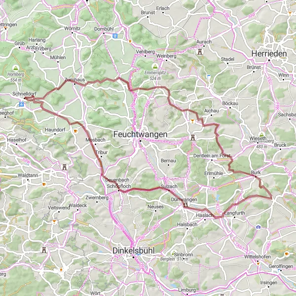
Epic gravel adventure through Schnelldorf and Unterampfrach
This epic gravel cycling route takes you from Schnelldorf to Unterampfrach and back, offering an ultimate off-road adventure. The total distance of the route is 67 km, with an ascent of 551 meters. It is suitable for well-trained amateur cyclists with a difficulty level of 4. With a score of 4, this route is considered both challenging and epic, taking you through breathtaking landscapes and remote gravel trails.

Gravel cycling route with adventurous highlights
This gravel cycling route takes you from Schnelldorf to Birkenberg and back, offering a mix of off-road trails and scenic landscapes. The total distance of the route is 33 km, with an ascent of 358 meters. It is suitable for well-trained amateur cyclists with a difficulty level of 2. With a score of 3, this route is considered epic and offers exciting challenges for gravel lovers.
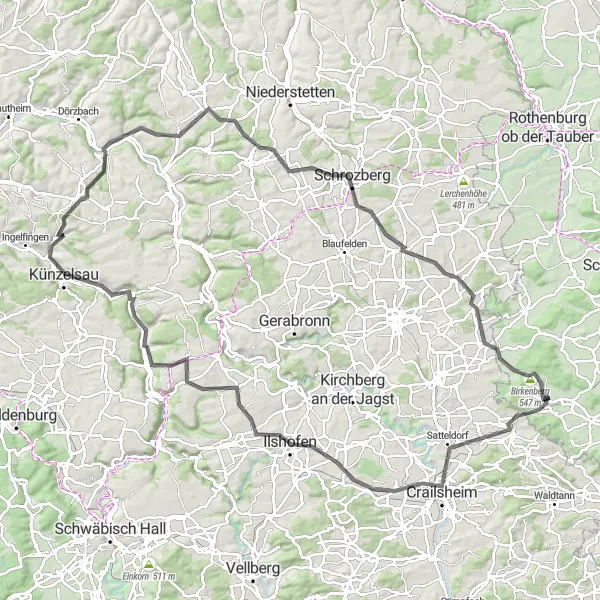
Beautiful road cycling route with stunning scenery
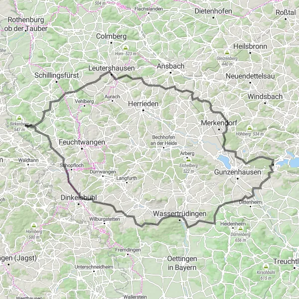
This road cycling route takes you from Schnelldorf to Crailsheim and back, offering stunning scenery and beautiful landscapes. You will encounter rolling hills, charming villages, and picturesque countryside throughout the route. The total distance of the route is 113 km, with an ascent of 1072 meters. It is suitable for well-trained amateur cyclists with a difficulty level of 3. With a score of 4, this route is considered epic and highly enjoyable.

Discover the beauty of the region on this picturesque road route
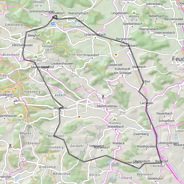
Enjoy a 63 km road ride with 662 meters of ascent, starting from Schnelldorf. This route takes you through the peaceful countryside, passing by Larrieden and Wört. The highlights of this journey include stunning landscapes, charming villages, and beautiful natural surroundings. With moderate difficulty and an enjoyable road surface, this route is suitable for cyclists of all skill levels. Overall, it offers a pleasurable and relaxing ride surrounded by the region's captivating scenery.

An adventurous gravel ride through scenic landscapes
This 64 km gravel route is a challenging adventure with 702 meters of ascent. Starting from Schnelldorf, the route takes you through picturesque villages like Wölfleinsberg, Bellershausen, and Schäfersberg before reaching the highlights of Buch am Wald and Münchsberg. The beautiful nature and remote paths make this route a perfect choice for gravel bike enthusiasts. Overall, this route offers a unique and unforgettable experience.
Cycling routes nearby:


Nearby regions: