Panoramic Road Cycling: Schnelldorf to Roter Berg Loop
A road cycling route starting from Schnelldorf
Picturesque road cycling route with panoramic views
Map
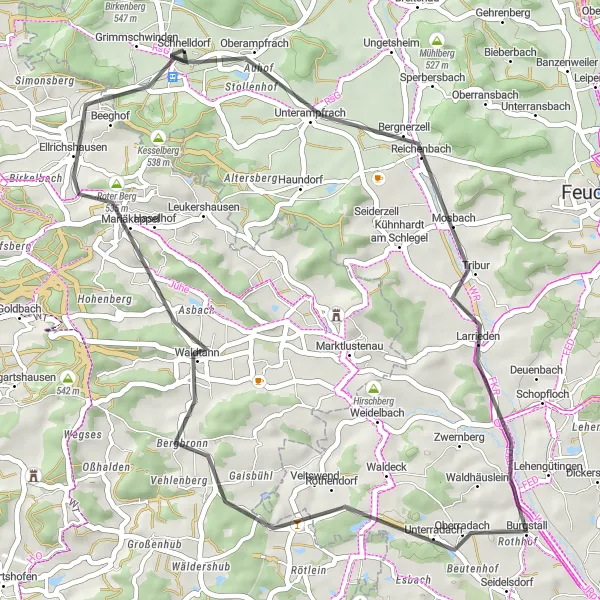
This road cycling route takes you from Schnelldorf to Roter Berg and back, offering picturesque landscapes and panoramic views. The total distance of the route is 43 km, with an ascent of 346 meters. It is suitable for well-trained amateur cyclists with a difficulty level of 3. With a score of 3, this route offers stunning views and a memorable cycling experience.
road
43 km
346 m
Tough
Route profile
Highlights on the route
0 km
0 km
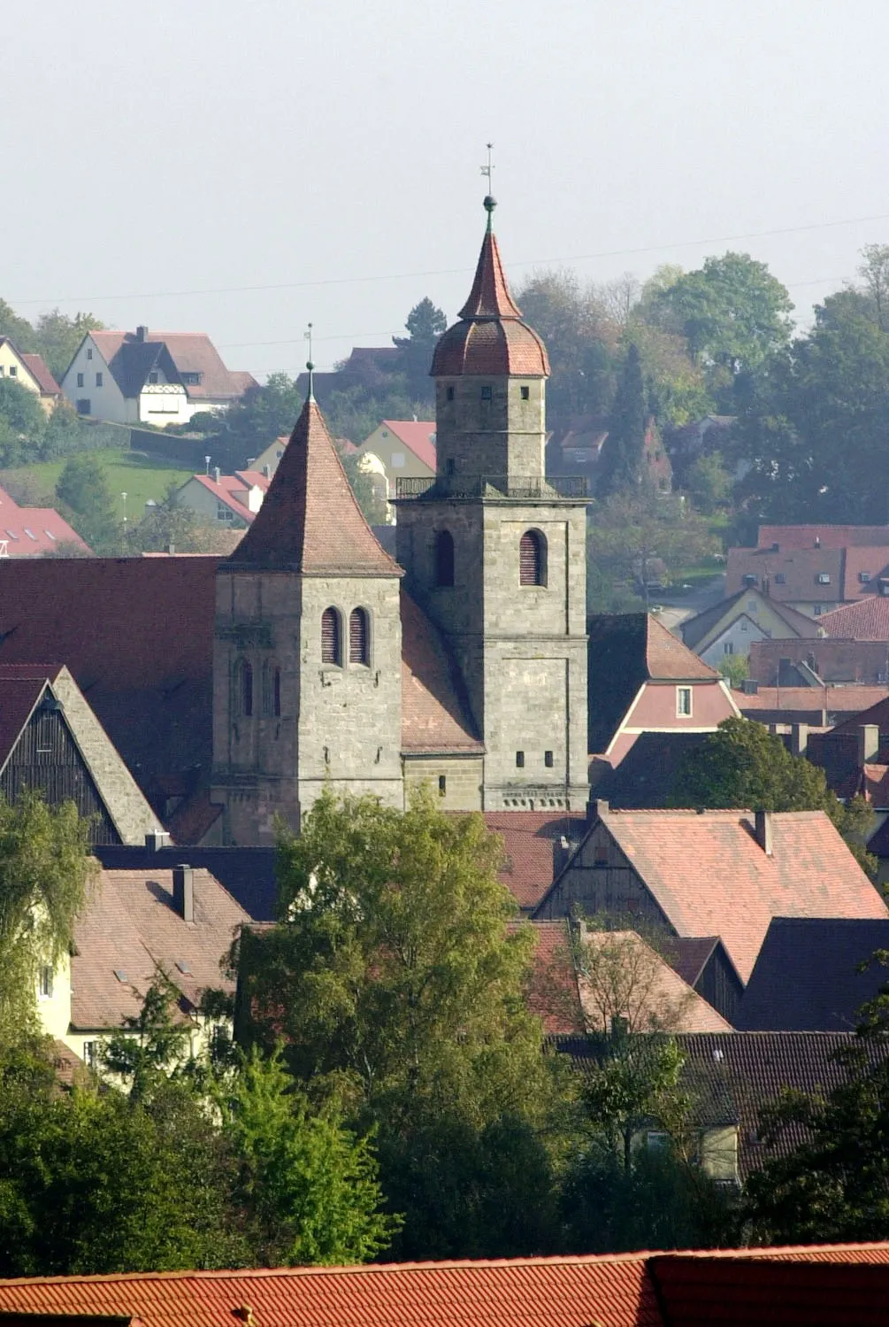
Start: Schnelldorf Village centerSchnelldorf: Diverse terrain and stunning landscapes for thrilling rides.
Schnelldorf, situated in Mittelfranken, Germany, is a cyclist's delight featuring diverse terrain and awe-inspiring landscapes. The locality offers several road cycling routes that wind through both flat stretches and challenging hills. Cyclists can encounter quaint villages and stunning natural scenery along the way. Schnelldorf's proximity to the Franconian Heights, renowned for its challenging climbs and rewarding descents, further enhances its appeal to cyclists seeking exhilarating experiences. With its varied terrain and access to notable cycling spots, Schnelldorf ranks highly as an enticing destination for road and gravel cycling enthusiasts.0 km
0 km
SchnelldorfVillageSchnelldorf is a picturesque village with well-preserved historic buildings.
7 km
7 km
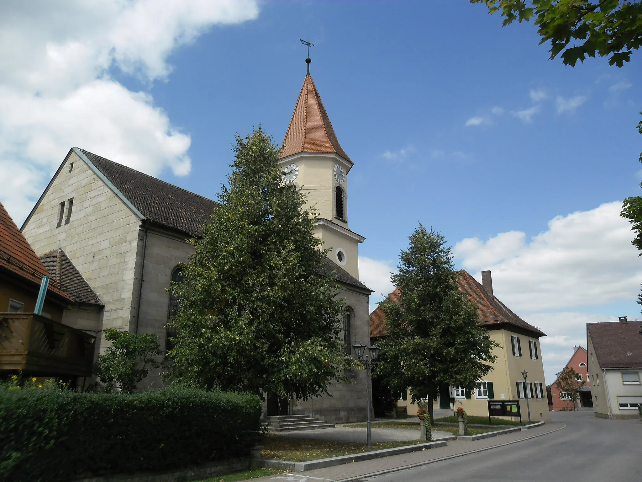
BergnerzellVillageBergnerzell offers beautiful views of the countryside and a peaceful atmosphere.
29 km
29 km
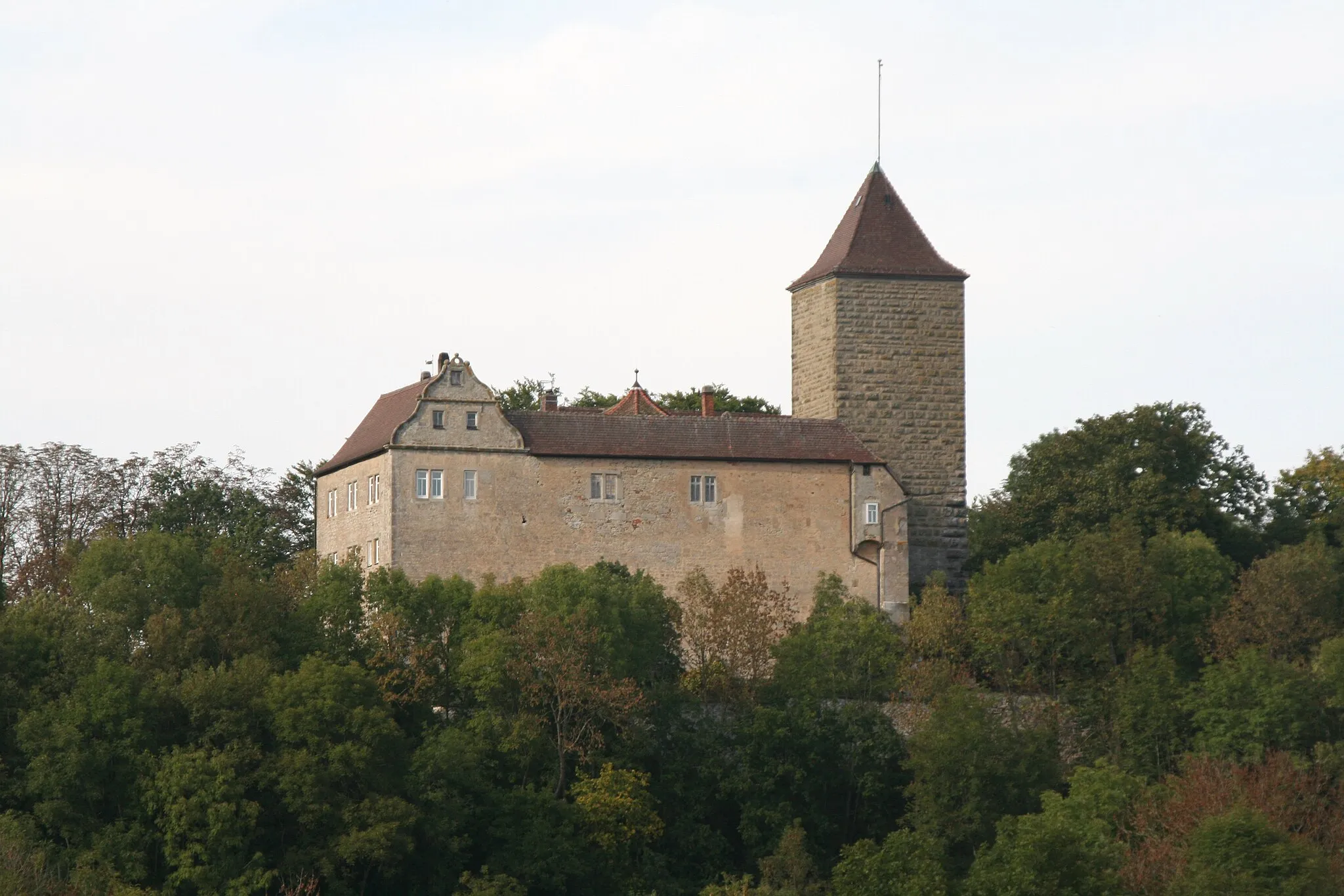
BergbronnHamletBergbronn is a charming village surrounded by green fields and rolling hills.
37 km
37 km
Roter Berg535 mPeakRoter Berg is a scenic hill with panoramic views of the surrounding landscapes.
43 km
43 km
Finish: Schnelldorf Village centerSchnelldorf: Diverse terrain and stunning landscapes for thrilling rides.
Cycling routes from Schnelldorf:
Unterampfrach Adventure Loop Scenic Road Route to Larrieden and Wört Panoramic Road Cycling: Schnelldorf to Roter Berg Loop Schnelldorf to Crailsheim Loop Gravel Route to Dombühl and Buch am Wald Adventure by Road to Dinkelsbühl and Muhr am See Challenging Road Ride to Creglingen and Steinsfeld Gravel Exploration of Schoellnach Gravel Adventure: Schnelldorf to Birkenberg Loop The Ultimate Gravel Adventure: Schnelldorf to Unterampfrach Loop
Cycling routes nearby: