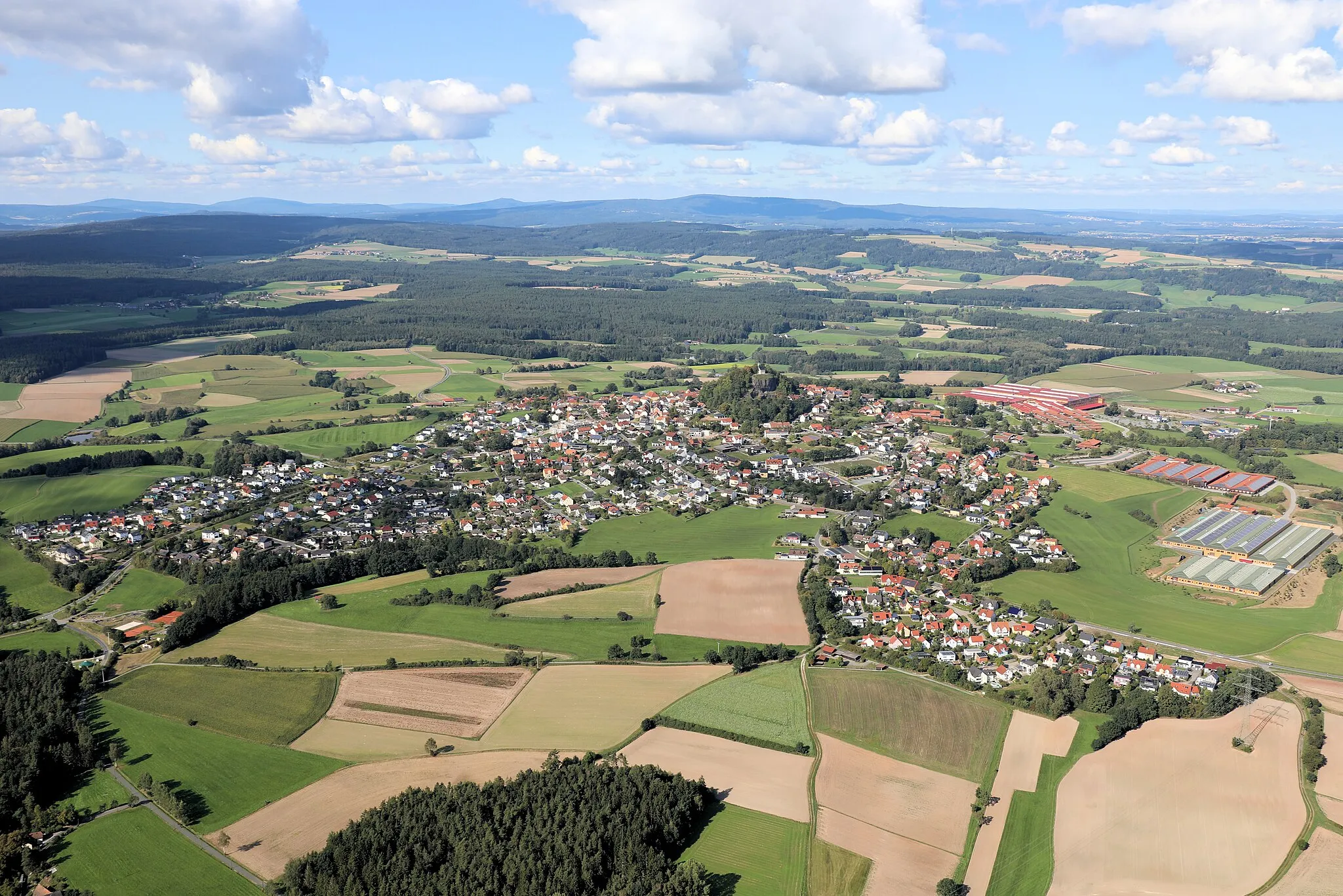
Tranquil Cycling Haven in Mittelfranken
Cycling routes from Dombuhl
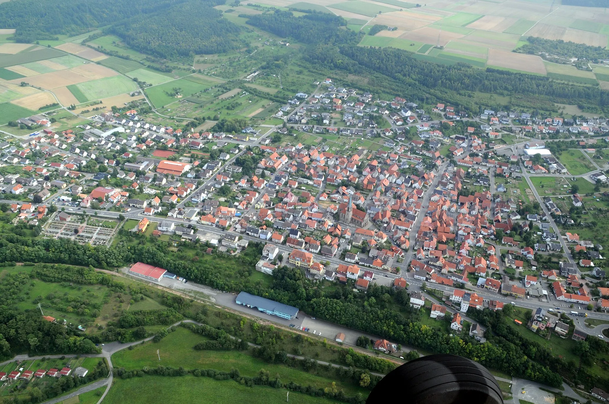
Dombühl, located in Mittelfranken, Germany, offers a pleasant cycling experience with its quiet roads and scenic landscapes. The area features several well-maintained cycling routes that cater to both road and gravel cyclists. For road cyclists, the nearby Franconian Heights offers challenging climbs and stunning views. Dombühl is also a great starting point for exploring the surrounding region, known for its charming villages and historic landmarks.
Embark on an epic road cycling adventure through breathtaking landscapes and iconic landmarks
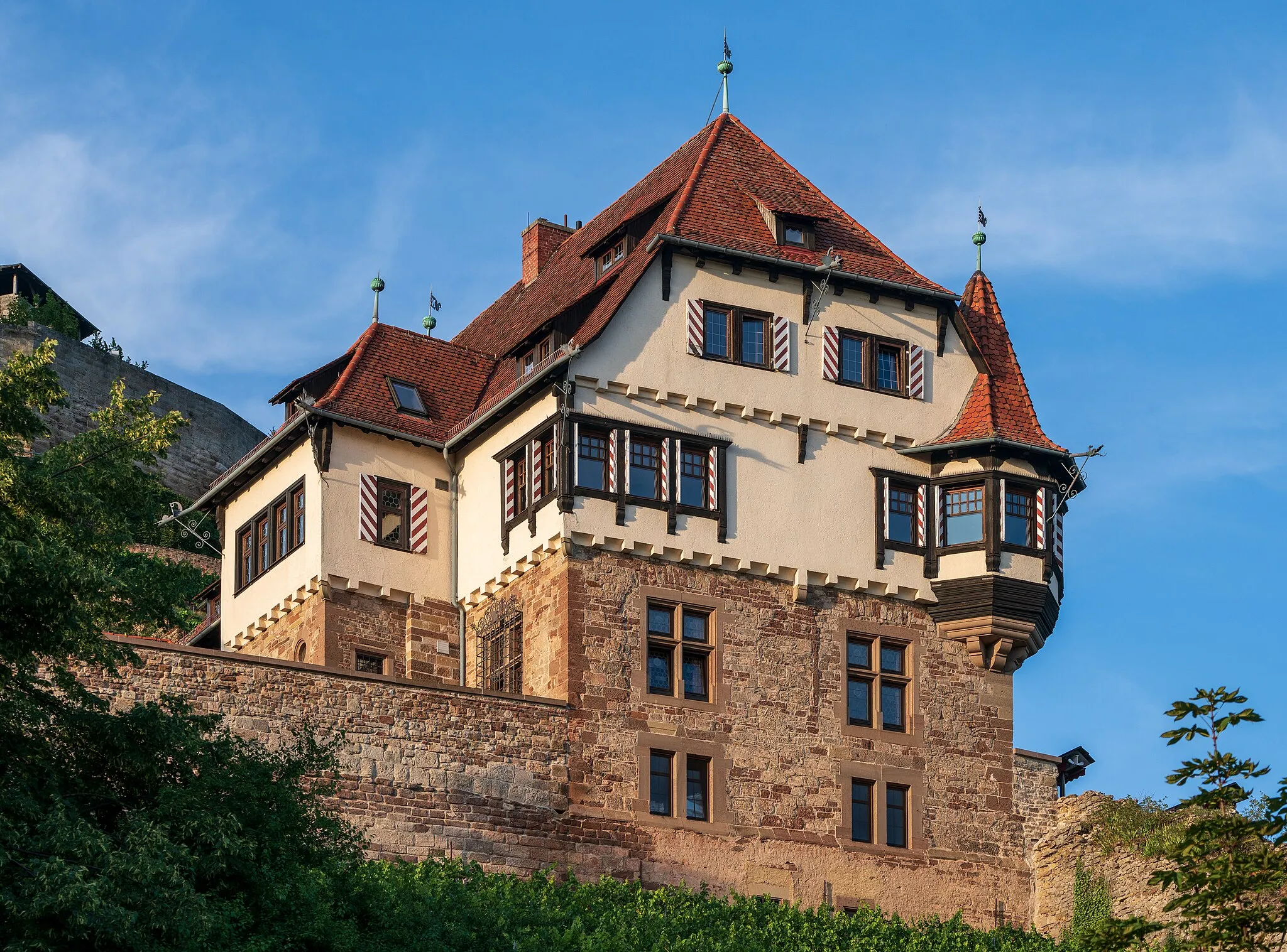
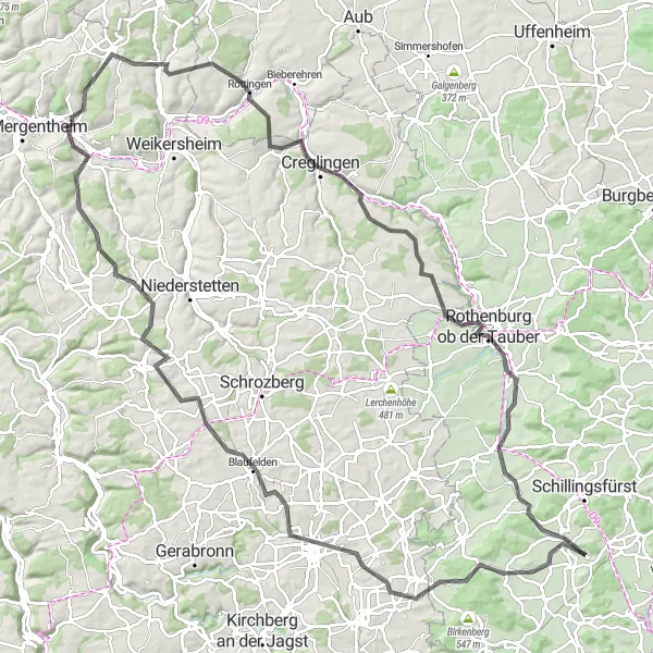
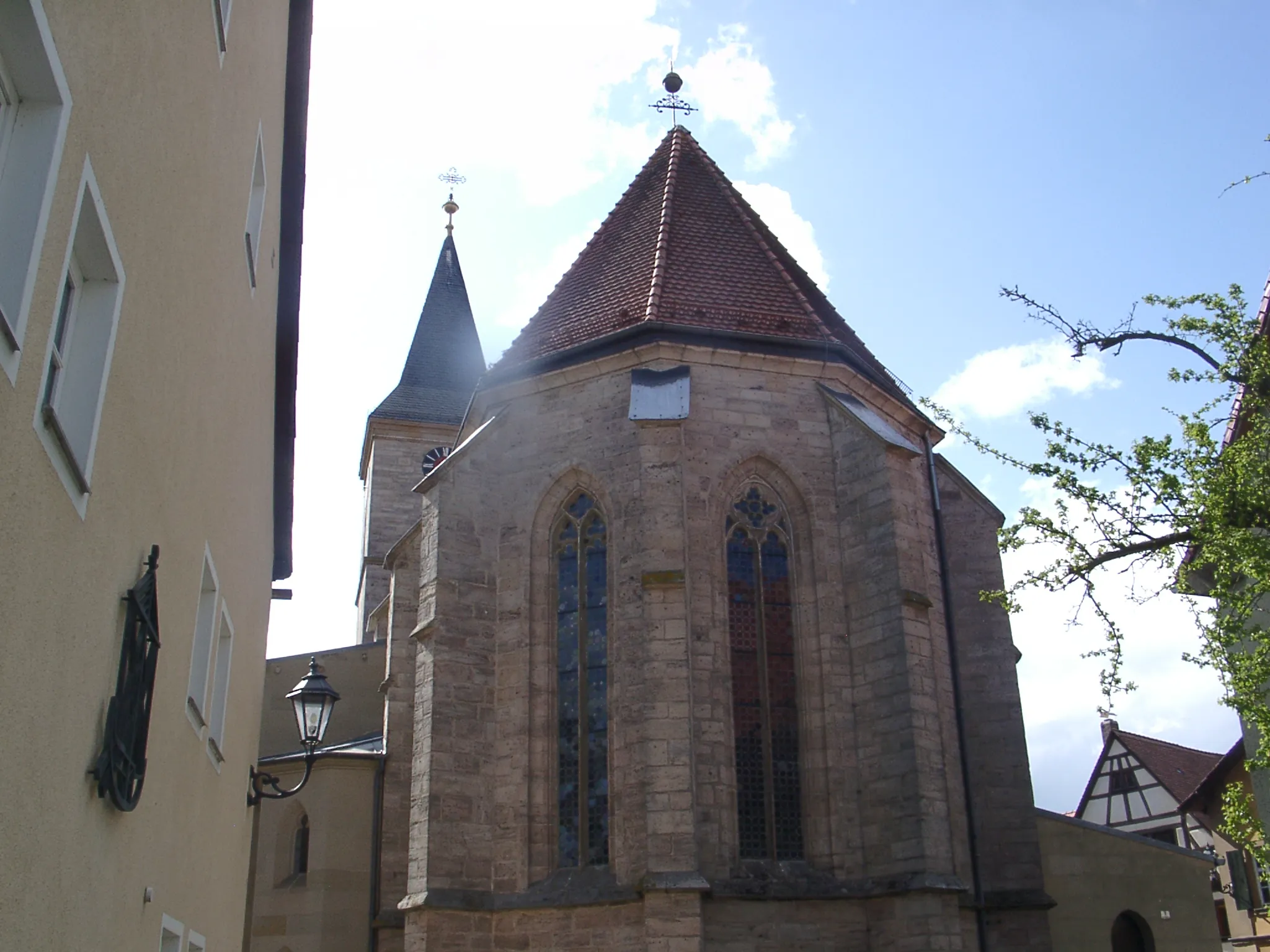
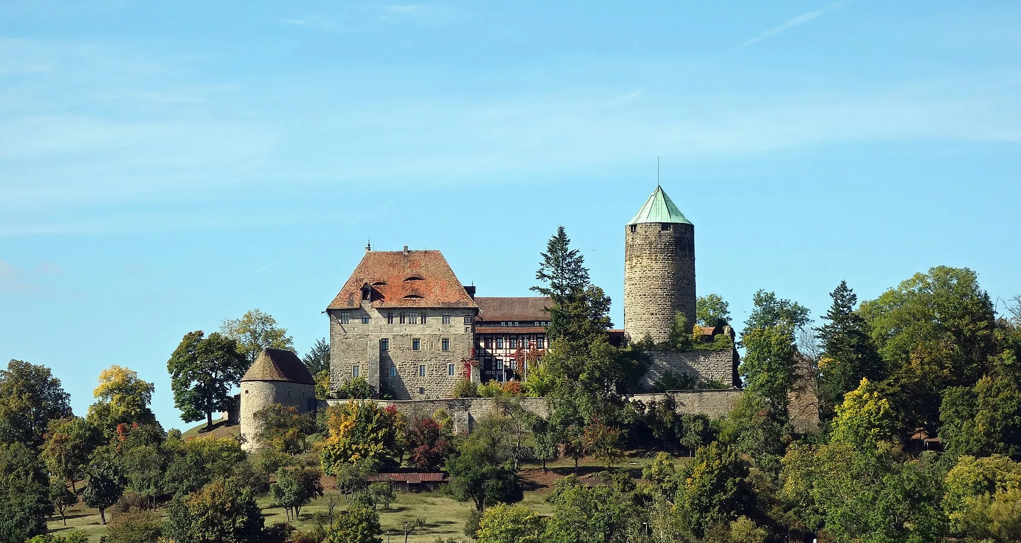
Get ready for the ultimate cycling challenge on this 123 km road cycling route with a demanding ascent of 1452 m. Grüber Ranken offers stunning panoramic views of the rolling hills and expansive farmlands. Bartenstein is a hidden gem, boasting a picturesque old town and a centuries-old castle. Admire the majestic views from Roggenberg, and don't miss the charming town of Igersheim with its well-preserved timber-framed houses. Panoramablick will leave you awestruck with its panoramic vistas, while Röttingen captivates with its charming half-timbered houses. Immerse yourself in the fairy-tale atmosphere of Rothenburg ob der Tauber with its medieval walls and quaint streets. This challenging and unforgettable route is truly a cycling adventure of a lifetime.
Experience the scenic beauty and historical landmarks on this adventurous cycling route starting from Dombühl.
Embark on a thrilling cycling adventure through picturesque landscapes and discover fascinating historical landmarks along the way. This route offers a mix of challenging terrain and breathtaking views, making it a must-visit for cycling enthusiasts.
Scenic Gravel Tour to Erlbach
Embark on a scenic gravel tour through the beautiful landscapes of Mittelfranken
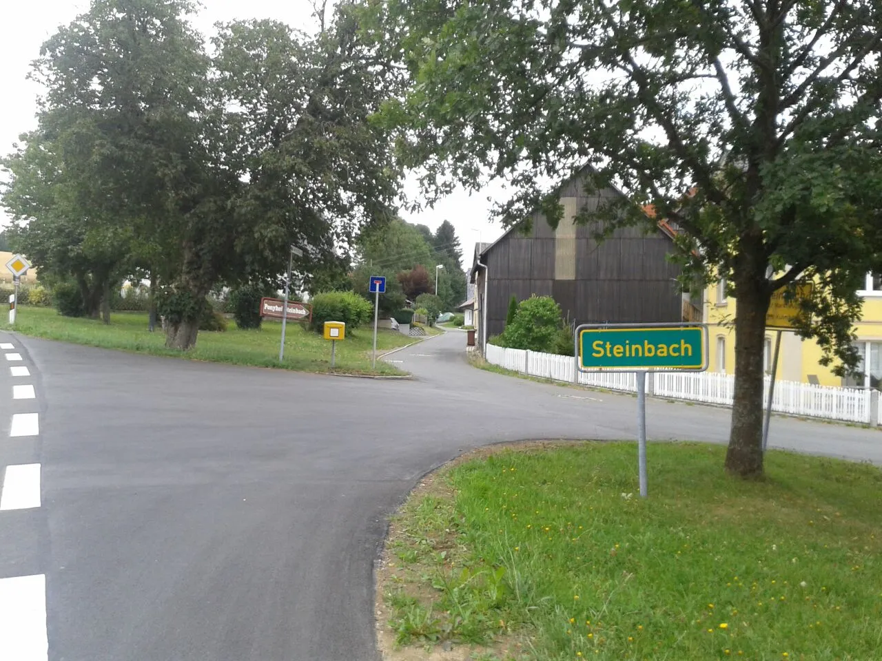
Discover the natural beauty of Mittelfranken on this 54 km gravel route. With an ascent of 519 m, it offers a moderate challenge suitable for intermediate gravel cyclists. Enjoy the peaceful atmosphere of Münchsberg and the idyllic surroundings of Gastenfelden. Cadolzhofen is a hidden gem, featuring traditional Franconian architecture and beautiful green meadows. Make sure to explore the enchanting forests around Büttelberg and the charming hills of Deutscher Bühl. With its rich cultural heritage, Erlbach is a must-visit destination on this scenic tour.
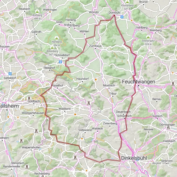
An epic gravel route through the scenic wilderness of Mittelfranken
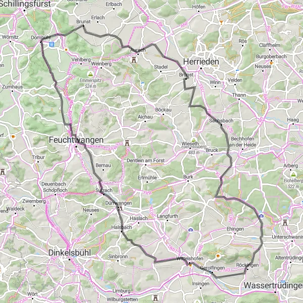
Get ready for a thrilling off-road adventure on this 66 km gravel route. With a challenging ascent of 658 m, it is recommended for experienced gravel cyclists. Explore highlights such as Thierschingberg, a peaceful hilltop with panoramic views, and Feuchtwangen, a historic town famous for its medieval architecture. For nature lovers, Seidelsdorf offers a tranquil escape in the midst of picturesque landscapes. Make sure to visit Hauerhut, a unique rock formation that will leave you awestruck. This epic route offers a blend of stunning natural beauty and cultural gems.
Northern Loop to Kahlrichm
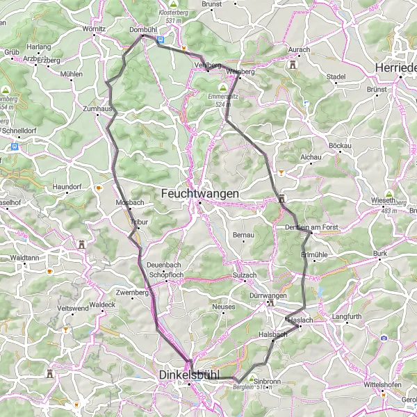
A beautiful road cycling route through the northern region of Mittelfranken
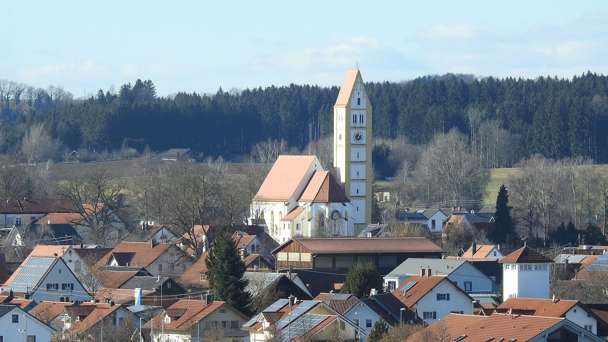
This scenic 61 km route takes you through charming towns and picturesque countryside in Mittelfranken. With a moderate ascent of 444 m, it is suitable for well-trained amateur cyclists. Enjoy highlights such as the panoramic views from Emmerspitz and the historical charm of Dinkelsbühl. Don't miss a stop at Schloßberg for its breathtaking castle ruins. Overall, this route offers a delightful cycling experience with a perfect balance of nature and cultural attractions.
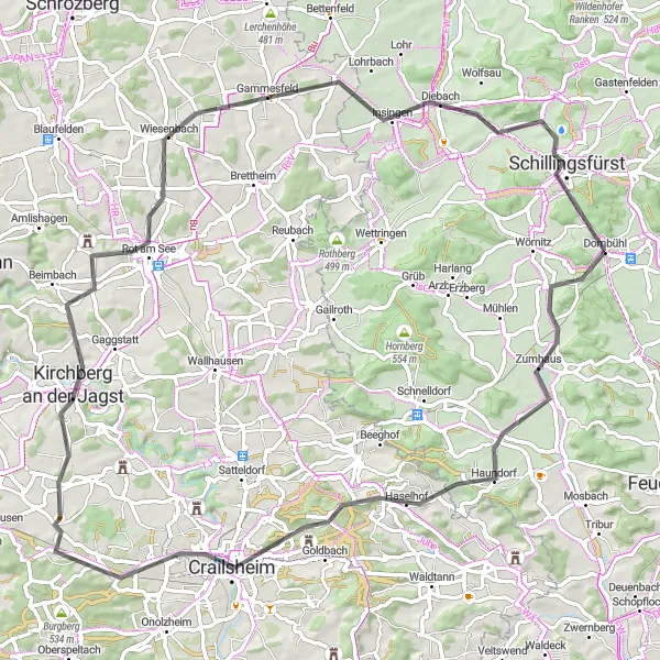
Embark on a challenging road route, conquering Vetschenberg, Rothenburg ob der Tauber, and the tough ascent of Marktbergel.
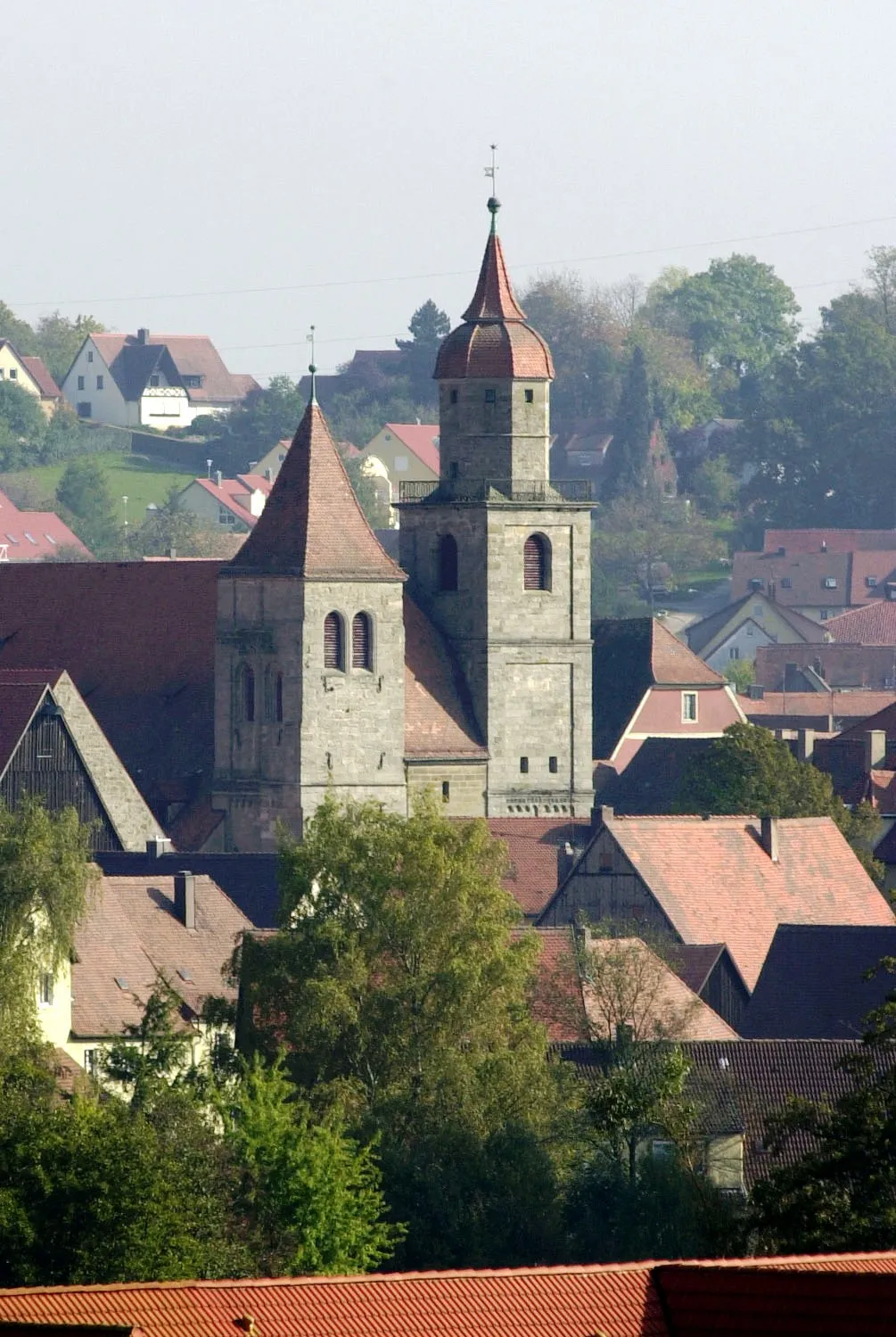
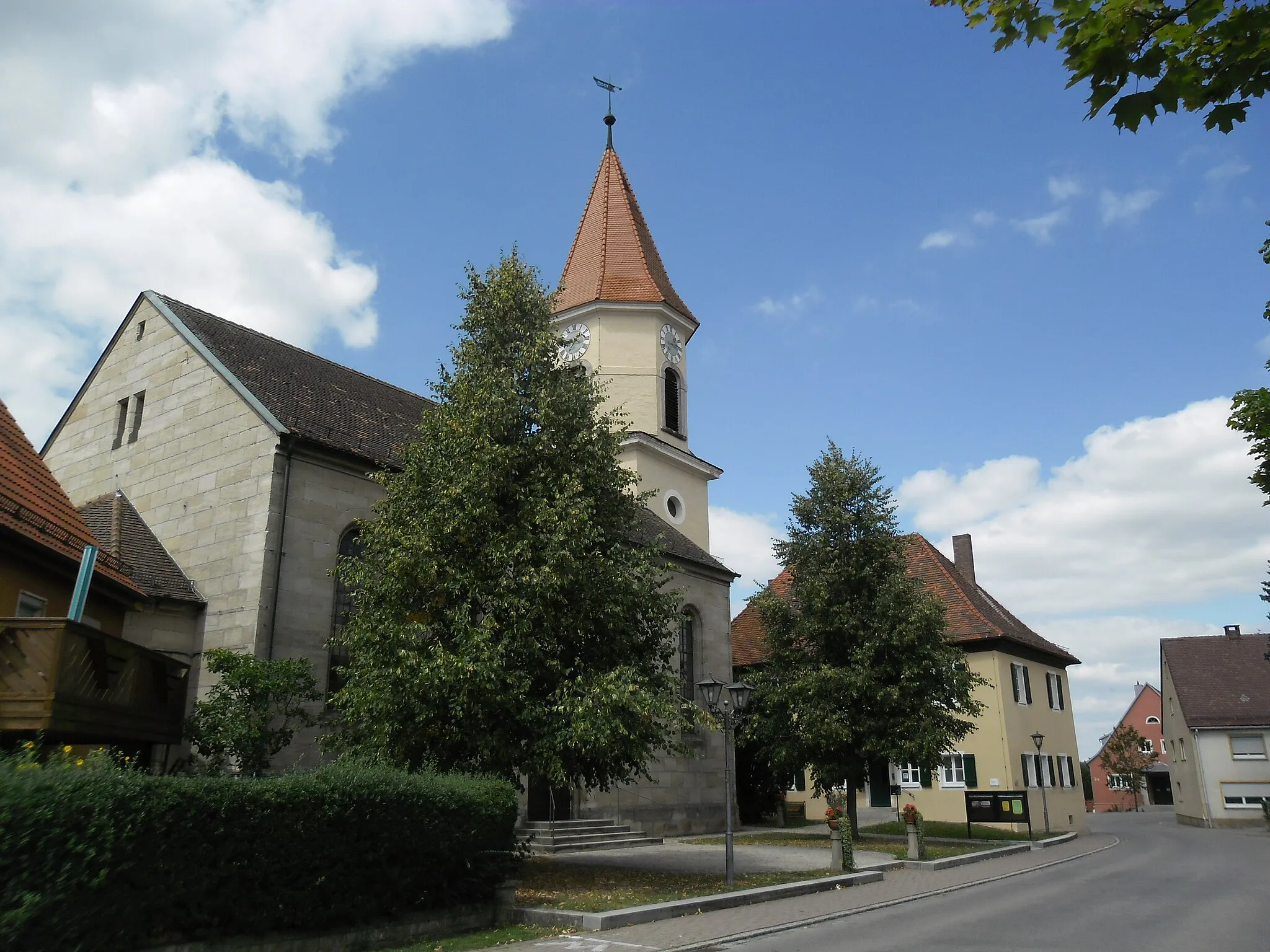
This road route near Dombühl showcases some of the region's most picturesque towns and challenging climbs. Starting at Vetschenberg, you'll tackle the steep ascents and sweeping descents of Rothenburg ob der Tauber, basking in the medieval charm of the old town. As you proceed, Lerchenhöhe provides the perfect vantage point to admire the rolling hills and vineyards. Ohrenbach offers a chance to recharge before the tough climb up Gänsbuck. Marktbergel serves as an unforgettable highlight for the day, rewarding riders with panoramic views after conquering a difficult ascent. The route concludes with a beautiful descent back to Dombühl.
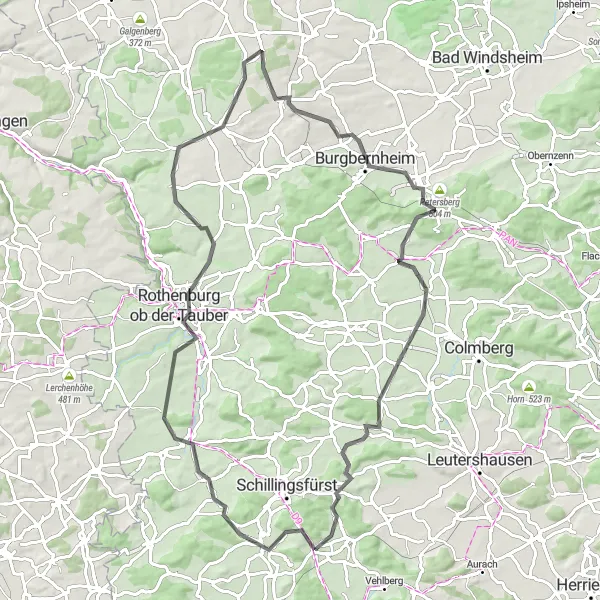
Venture on a scenic road cycling tour through the picturesque landscapes of Mittelfranken
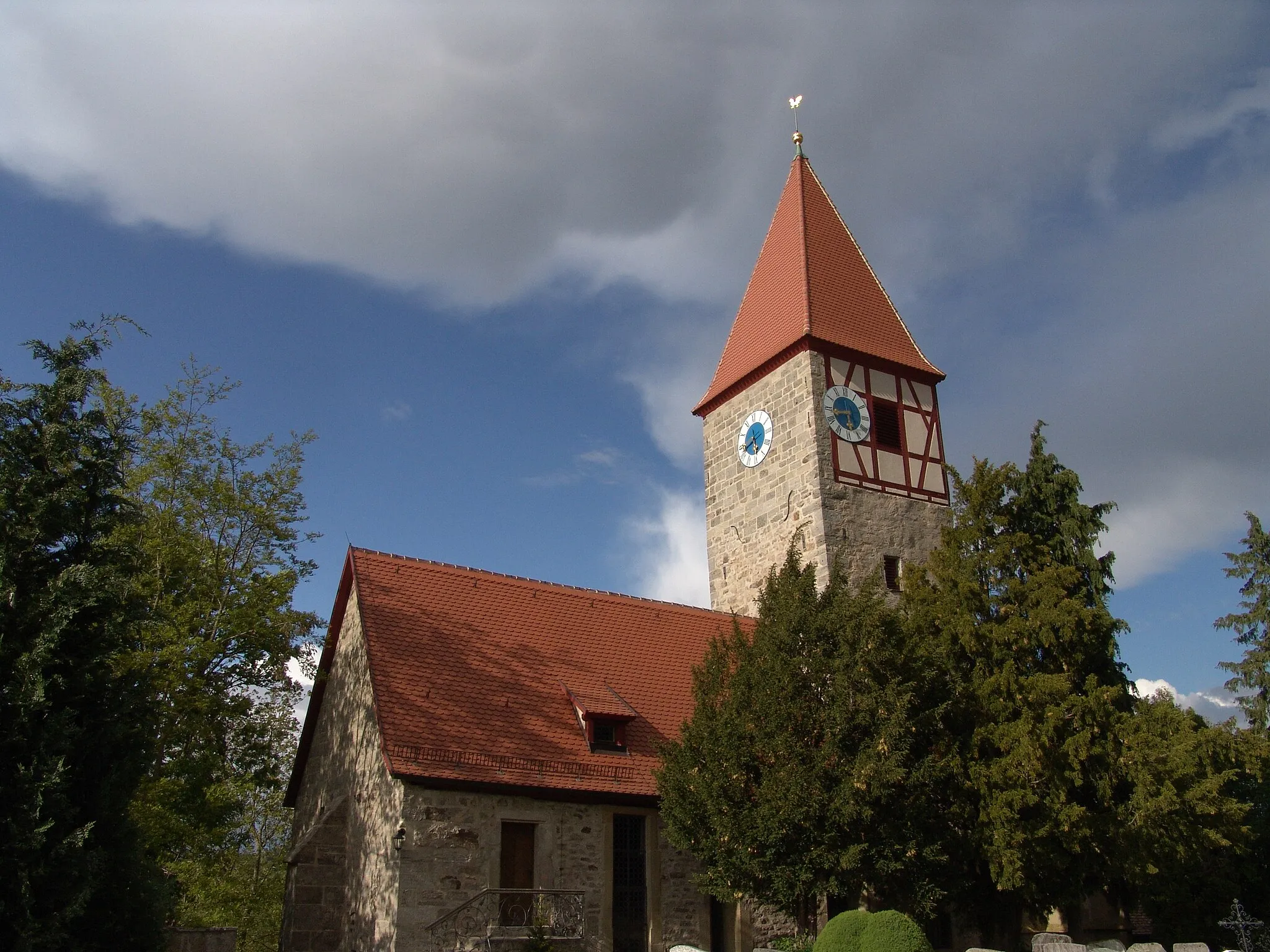
Experience the beauty of Mittelfranken on this 80 km road cycling route with a challenging ascent of 768 m. Enjoy breathtaking views from Straubenberg and immerse yourself in the historical charm of Ungetsheim. Don't miss the Roter Berg, a legendary climb that has tested the best cyclists over the years. Explore the enchanting town of Kirchberg an der Jagst and admire the panoramic vistas from Aussichtsturm Sophienberg. Kapferbügel offers a unique blend of nature and history, while Schillingsfürst captivates with its charming castle and well-preserved old town. This diverse route guarantees unforgettable moments.
A scenic gravel route passing through the picturesque Wildenholz, Birkenberg, and Untergailnau before climbing the challenging Wühlberg and Bergfeld hills.
This gravel route near Dombühl takes you through some enchanting countryside, offering beautiful views and a few demanding hills. Starting from Wildenholz, the route passes by the Birkenberg and Untergailnau, where you can catch sight of historic landmarks and enjoy the tranquility of nature. As you push through the challenging climbs of Wühlberg and Bergfeld, be prepared to reward yourself with stunning panoramic vistas. Finally, the route concludes in Dombühl, a charming town worth exploring.

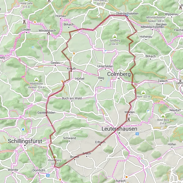
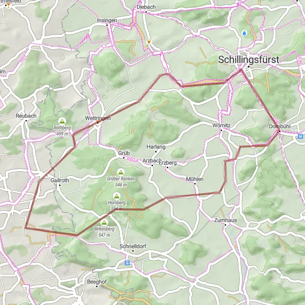
A gravel route featuring challenging climbs like Vorderer Grasbühl and breathtaking descents in Buch am Wald.
Embark on a captivating gravel route starting from Schillingsfürst and winding through stunning landscapes. The ride kicks off with a climb up Vorderer Grasbühl, offering stunning panoramic views as a reward before descending into Buch am Wald. Here, riders will experience exhilarating downhill moments intertwined with picturesque scenery. As the adventure continues towards Münchsberg, the track rewards riders with demanding climbs and glorious summits. The route concludes in Dombühl, a town immersed in history and sporting bright highlight choices well worth exploring.
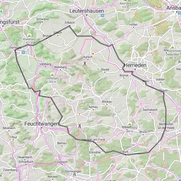
Discover the charming landscapes of Herrieden, Mückenbühl, and Dentlein am Forst on this scenic road route.
This road route starting from Dombühl takes you through charming towns and picturesque landscapes. The route begins in Dombühl, where you can admire the historic architecture and immerse yourself in the town's rich history. Continuing the journey, Büchelberg offers a peaceful respite with its idyllic countryside setting. Herrieden presents itself as a charming town with delightful local landmarks. Mückenbühl and Dentlein am Forst are known for their beautiful landscapes, providing an opportunity to take in nature's beauty. As you reach the final stretch towards Dorfgütingen and Thierschingberg, prepare to be captivated by their traditional charm and stunning vistas.
Cycling routes nearby:

Nearby regions: