![Cover image](https://images.tarmacs.app/cycling-routes/covers/germany/mittelfranken/colmberg-4.webp)
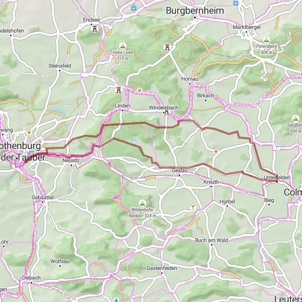
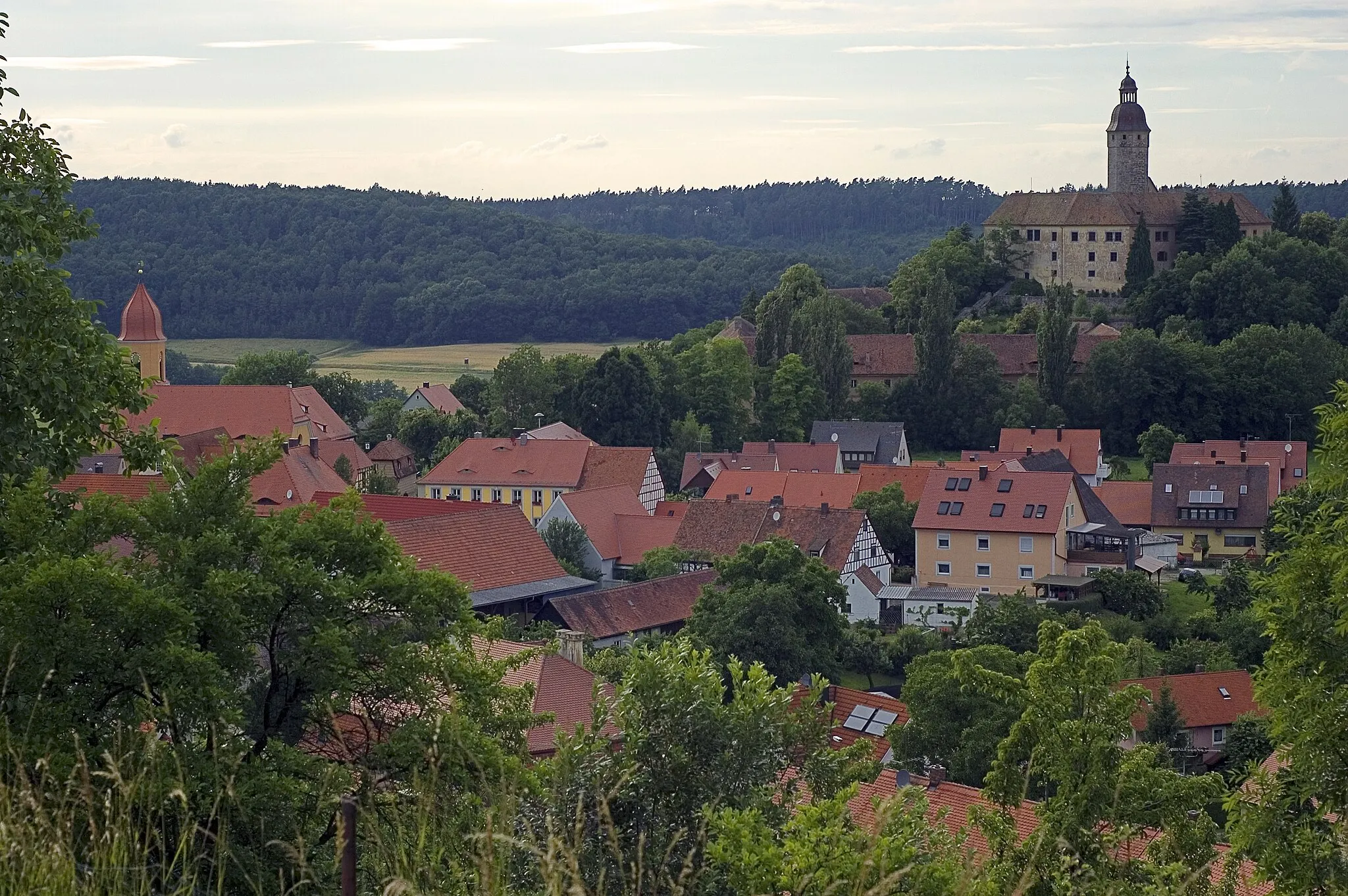
Cycling in the Charming Town of Colmberg, Mittelfranken, Germany
Cycling routes from Colmberg
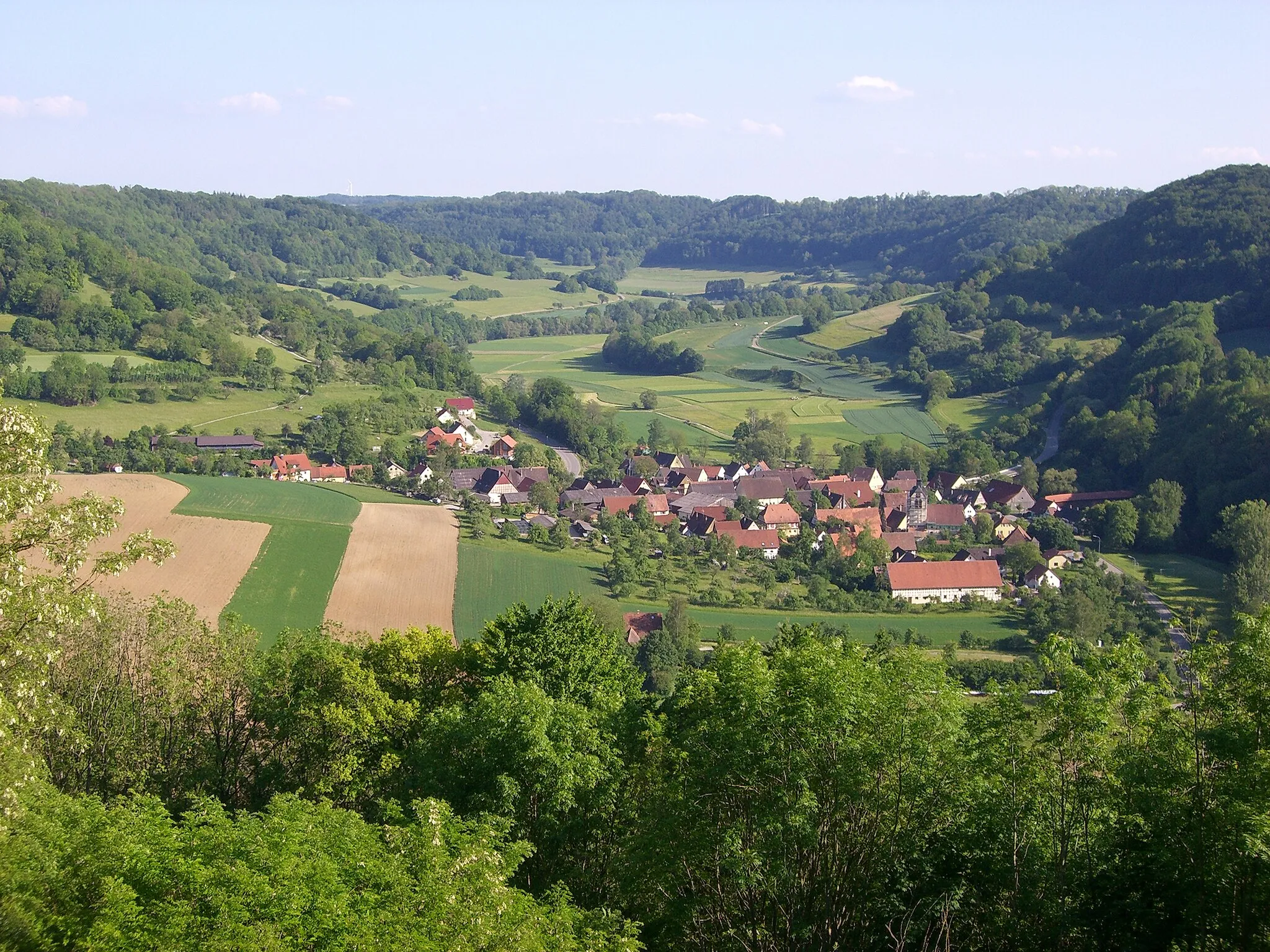
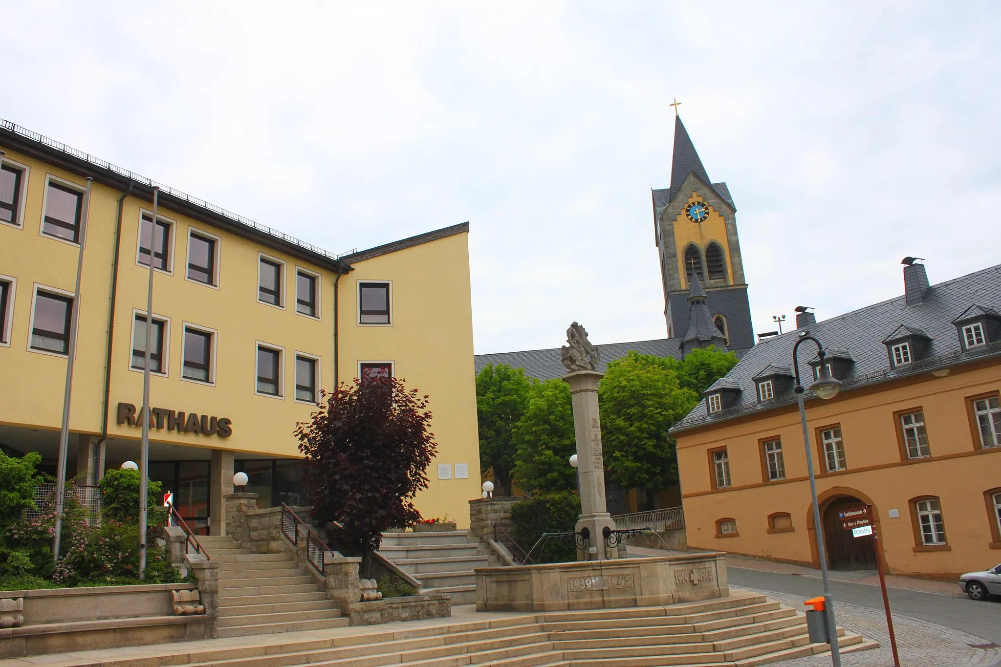
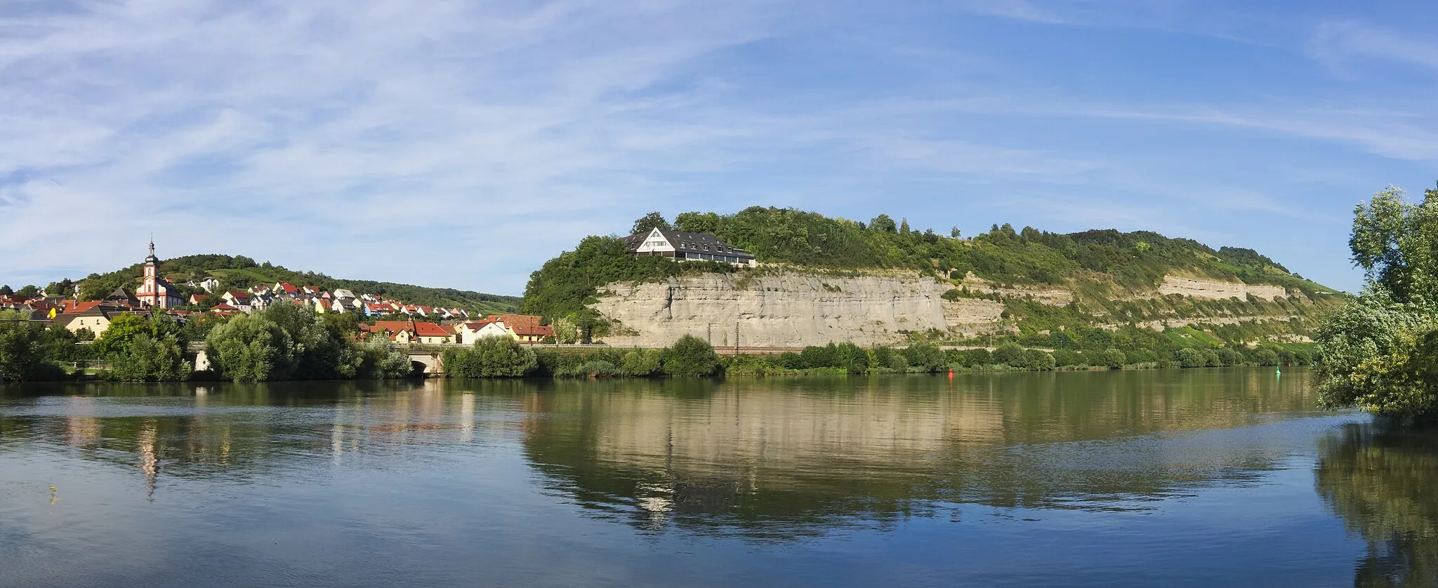
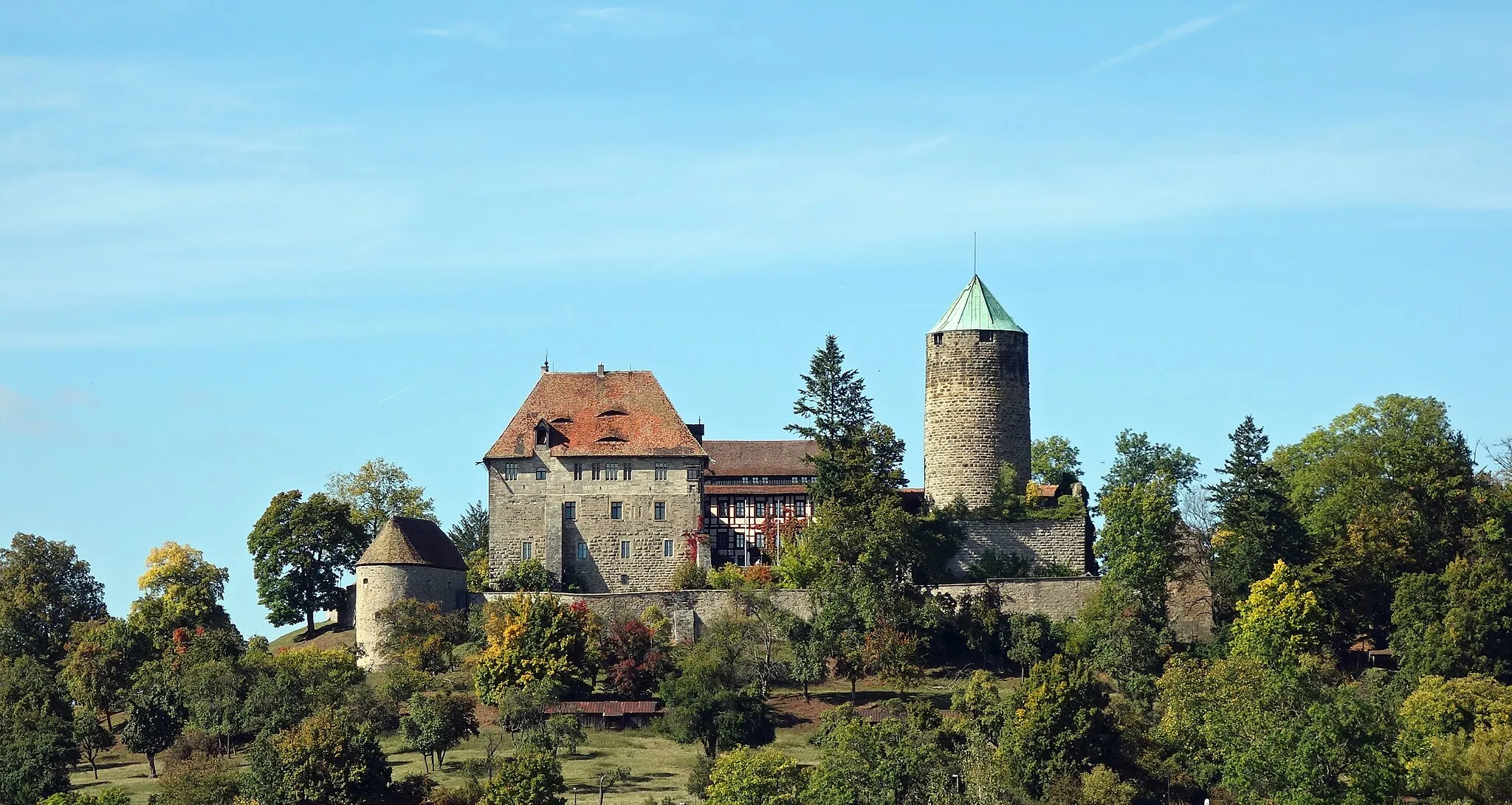
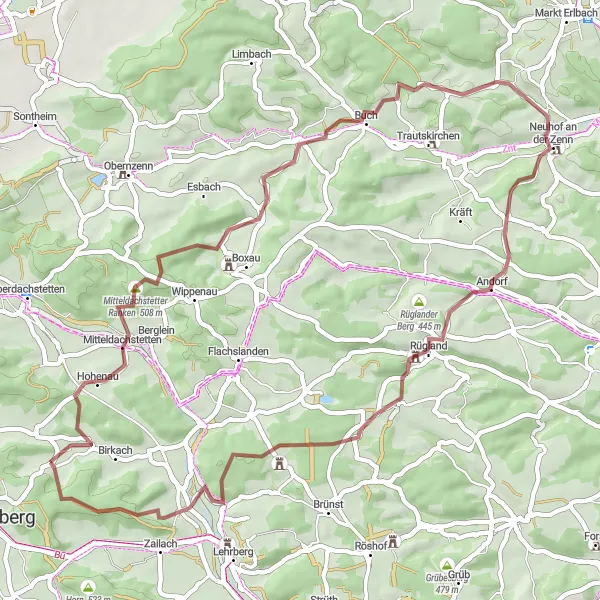
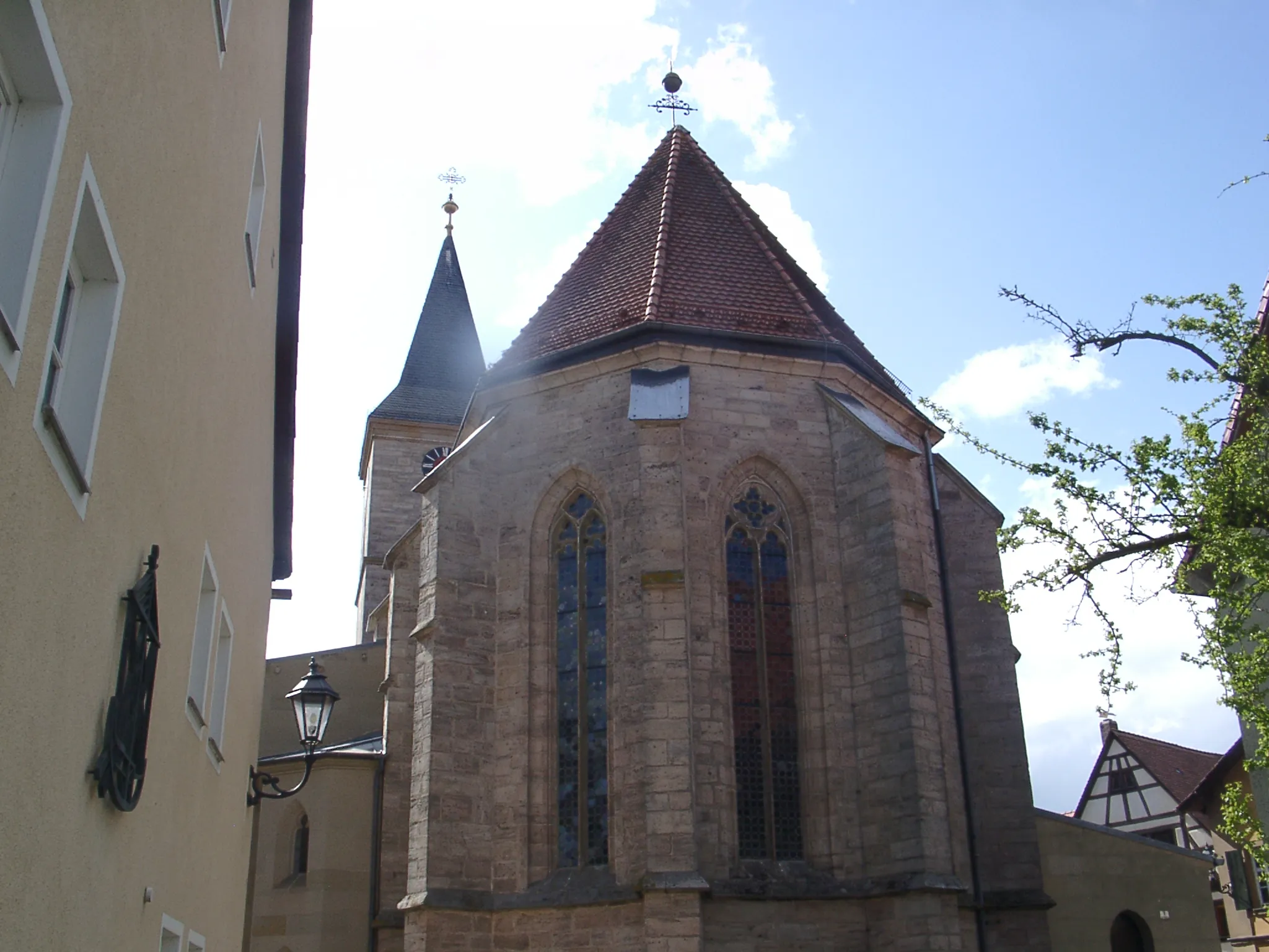
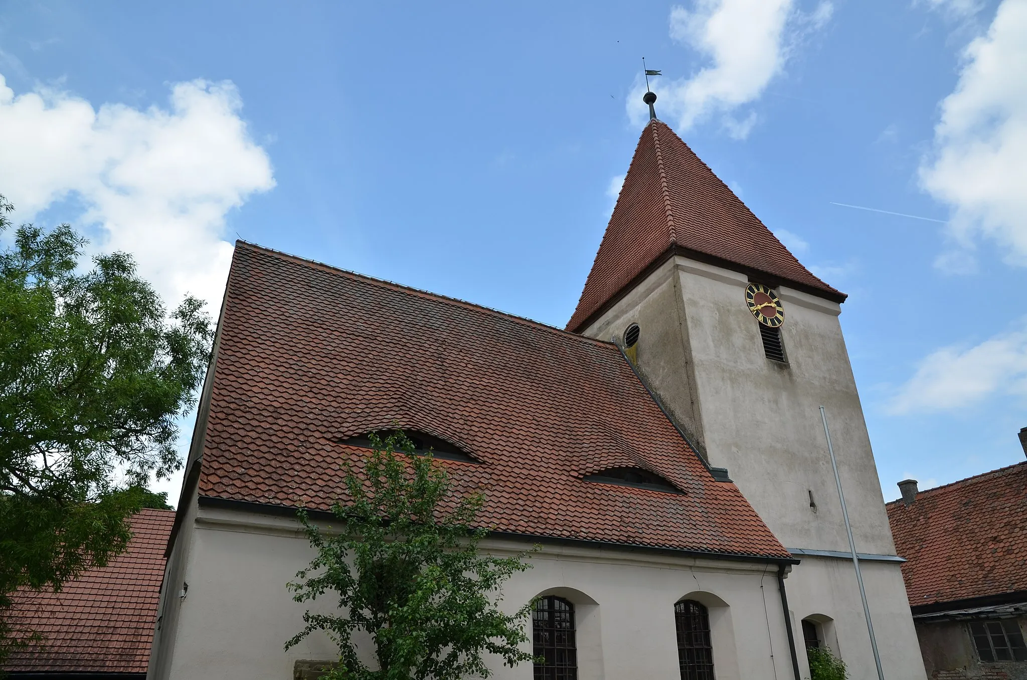
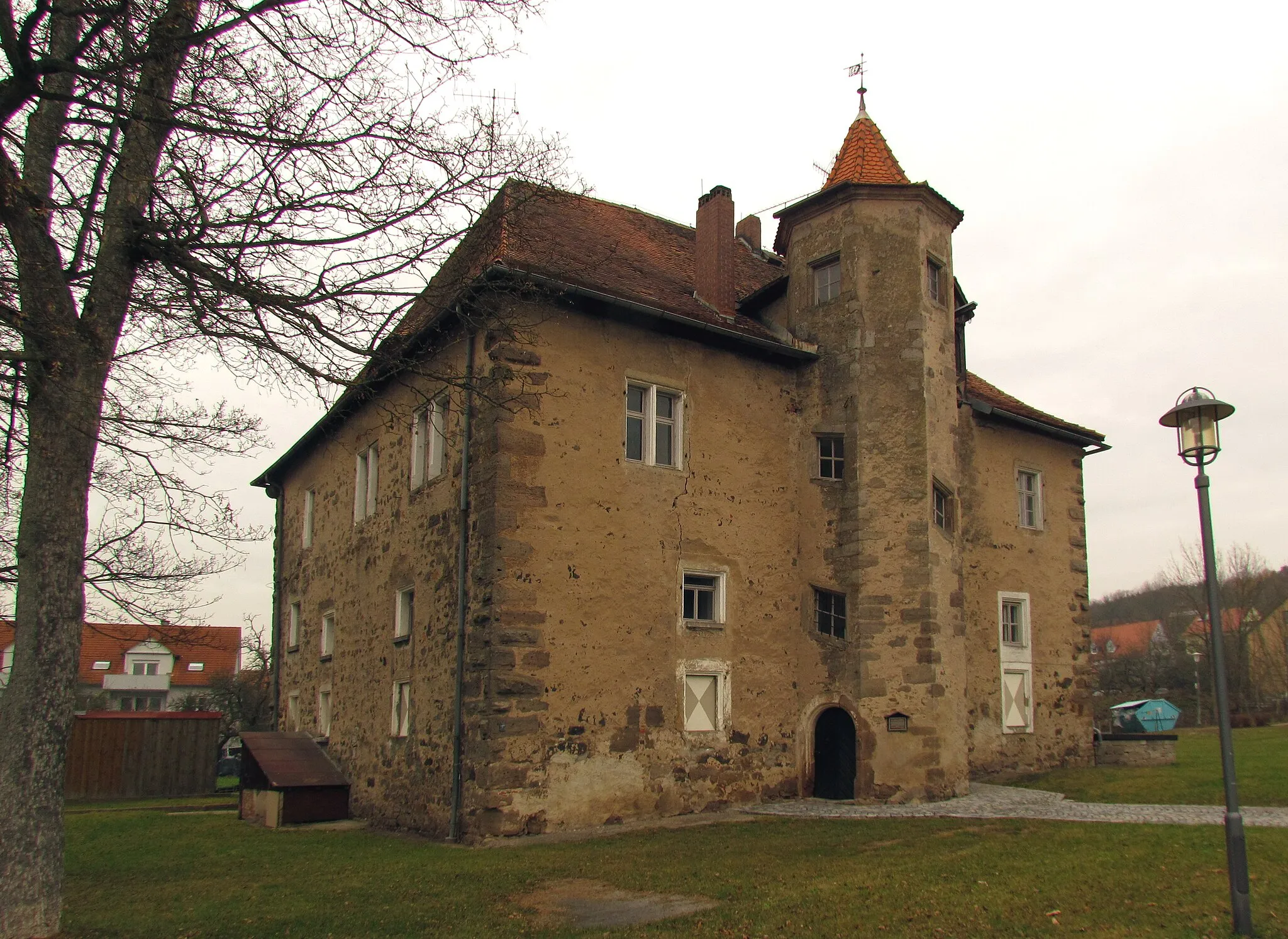
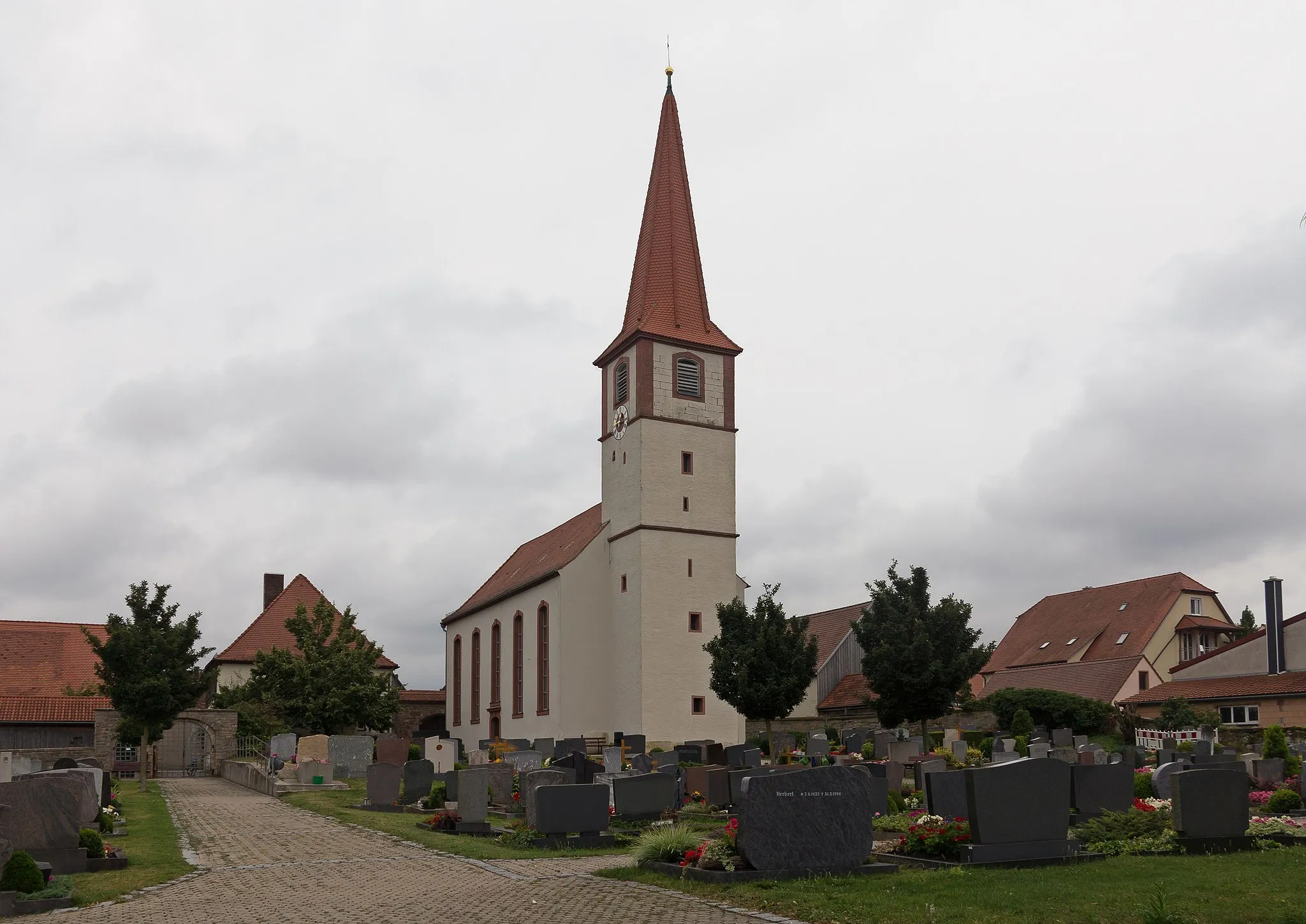
Colmberg is a charming town located in Mittelfranken, Germany. From a cyclist's perspective, Colmberg offers a variety of road and gravel routes that showcase the beautiful countryside and picturesque villages in the region. The roads are well-maintained and there are minimal traffic, making it a peaceful and enjoyable cycling experience. One of the iconic cycling spots nearby is the climb up to the Colmberg Castle, which offers stunning views at the top. Overall, Colmberg is a great destination for both road and gravel cyclists.
Gentle Gravel Ride
![Map miniature of "Gentle Gravel Ride" cycling inspiration in Mittelfranken, Germany. Generated by Tarmacs.app cycling route planner](https://images.tarmacs.app/cycling-routes/routemaps/600/germany/mittelfranken/colmberg/gravel/264618.webp)
Enjoy a leisurely gravel ride through the peaceful countryside near Colmberg
This gentle 36 km gravel route guarantees a relaxed and enjoyable ride with a total ascent of 241 meters. Immerse yourself in the tranquility of the region while passing by lovely highlights along the way.
![Map miniature of "Scenic Gravel Loop" cycling inspiration in Mittelfranken, Germany. Generated by Tarmacs.app cycling route planner](https://images.tarmacs.app/cycling-routes/routemaps/600/germany/mittelfranken/colmberg/gravel/264628.webp)
Discover the beauty of nature on this picturesque gravel route
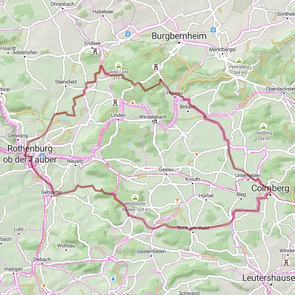
Embark on this 53 km gravel loop near Colmberg and enjoy a scenic ride with a total ascent of 440 meters. The route will take you through enchanting landscapes and past captivating highlights.
Gravel Adventure near Colmberg
![Map miniature of "Gravel Adventure near Colmberg" cycling inspiration in Mittelfranken, Germany. Generated by Tarmacs.app cycling route planner](https://images.tarmacs.app/cycling-routes/routemaps/600/germany/mittelfranken/colmberg/gravel/264633.webp)
Embark on an exciting gravel adventure exploring the rugged nature surrounding Colmberg
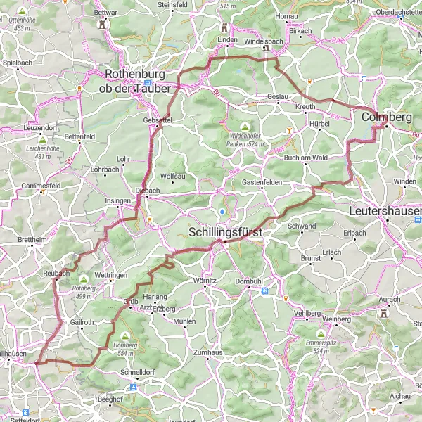
Escape into nature and experience the thrill of gravel biking through the untamed landscapes near Colmberg. This 82 km route, with 800 meters of ascent, takes you off-road and onto gravel paths, offering a unique and challenging cycling experience. The difficulty level is rated 4 out of 5, suitable for experienced riders, while the epicness of the route is 3 out of 5.
Colmberg Loop Road Route
![Map miniature of "Colmberg Loop Road Route" cycling inspiration in Mittelfranken, Germany. Generated by Tarmacs.app cycling route planner](https://images.tarmacs.app/cycling-routes/routemaps/600/germany/mittelfranken/colmberg/road/264612.webp)
Discover the scenic countryside and charming villages on this road cycling route near Colmberg
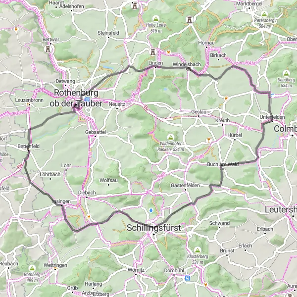
Explore the picturesque landscapes and cultural highlights of the Colmberg region on this 86 km road cycling loop. With a total ascent of 733 meters, the route takes you through beautiful rolling hills, quaint towns, and offers breathtaking views along the way. The difficulty level is moderate, suitable for well-trained amateurs, while the epicness of the route is rated at 3 out of 5.
![Map miniature of "Challenging Hills & Scenic Landscapes" cycling inspiration in Mittelfranken, Germany. Generated by Tarmacs.app cycling route planner](https://images.tarmacs.app/cycling-routes/routemaps/600/germany/mittelfranken/colmberg/road/264750.webp)
Prepare for a demanding ride through stunning landscapes and challenging climbs
Embark on a cycling adventure through scenic landscapes and tackle challenging climbs on this 76 km road route. With an ascent of 647 meters, this route offers breathtaking views over the countryside. The difficulty level is rated 3 out of 5, suitable for well-trained amateurs, while the epicness of the route is 3 out of 5.
The Uphill Challenge
![Map miniature of "The Uphill Challenge" cycling inspiration in Mittelfranken, Germany. Generated by Tarmacs.app cycling route planner](https://images.tarmacs.app/cycling-routes/routemaps/600/germany/mittelfranken/colmberg/road/264657.webp)
Conquer challenging uphill sections on this road cycling route
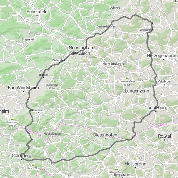
This 131 km road cycling route near Colmberg is perfect for cyclists seeking a thrilling challenge. Prepare for a demanding ride with a total ascent of 1096 meters, as you tackle steep uphill sections and enjoy breathtaking views.
![Map miniature of "Discover Romantic Franconia Road Route" cycling inspiration in Mittelfranken, Germany. Generated by Tarmacs.app cycling route planner](https://images.tarmacs.app/cycling-routes/routemaps/600/germany/mittelfranken/colmberg/road/264594.webp)
Immerse yourself in the romantic charm of Franconia on this road cycling route
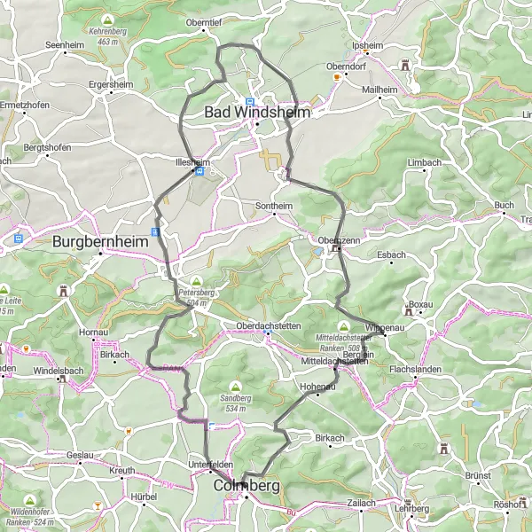
Experience the beauty of Franconia and its romantic landscapes on this 59 km road cycling route with a total ascent of 486 meters. This route takes you through idyllic villages, past picturesque hills, and offers stunning views of the surrounding countryside. The difficulty level is rated 2 out of 5, suitable for beginners and casual cyclists, while the epicness of the route is 2 out of 5.
![Map miniature of "Ansbach Hill Circuit Route" cycling inspiration in Mittelfranken, Germany. Generated by Tarmacs.app cycling route planner](https://images.tarmacs.app/cycling-routes/routemaps/600/germany/mittelfranken/colmberg/road/264647.webp)
Experience the thrill of tackling challenging hills on this road cycling circuit around Ansbach
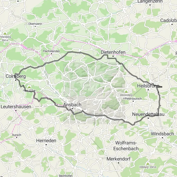
Get ready for a challenging road cycling circuit that covers 59 km and includes 579 meters of ascent. The route takes you through the hilly landscapes surrounding Ansbach, offering breathtaking views and cultural highlights along the way. The difficulty level is rated 3 out of 5, suitable for well-trained amateurs, while the epicness of the route is 2 out of 5.
![Map miniature of "The Galgenberg Adventure" cycling inspiration in Mittelfranken, Germany. Generated by Tarmacs.app cycling route planner](https://images.tarmacs.app/cycling-routes/routemaps/600/germany/mittelfranken/colmberg/gravel/264624.webp)
Experience an exciting gravel ride with stunning views
This 57 km gravel route starting near Colmberg offers a thrilling adventure with a total ascent of 473 meters. You will ride through picturesque landscapes and encounter various highlights along the way.
Nature's Delight
![Map miniature of "Nature's Delight" cycling inspiration in Mittelfranken, Germany. Generated by Tarmacs.app cycling route planner](https://images.tarmacs.app/cycling-routes/routemaps/600/germany/mittelfranken/colmberg/gravel/264595.webp)
Experience the beauty of nature on this scenic gravel route
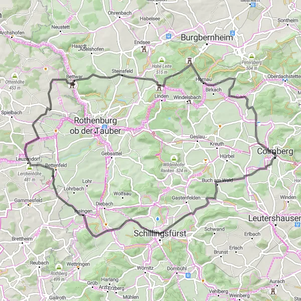
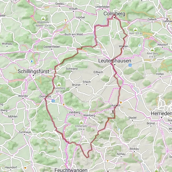
Discover the natural beauty of Mittelfranken on this 53 km gravel route with a total ascent of 734 meters. Enjoy the serene landscapes and encounter captivating highlights along the way.
Cycling routes nearby:
![Image of Leutershausen](https://images.tarmacs.app/cycling-routes/covers/germany/mittelfranken/leutershausen-4.webp)
![Image of Oberdachstetten](https://images.tarmacs.app/cycling-routes/covers/germany/mittelfranken/oberdachstetten-5.webp)
![Image of Lehrberg](https://images.tarmacs.app/cycling-routes/covers/germany/mittelfranken/lehrberg-3.webp)
![Image of Flachslanden](https://images.tarmacs.app/cycling-routes/covers/germany/mittelfranken/flachslanden-5.webp)
![Image of Marktbergel](https://images.tarmacs.app/cycling-routes/covers/germany/mittelfranken/marktbergel-5.webp)
![Image of Obernzenn](https://images.tarmacs.app/cycling-routes/covers/germany/mittelfranken/obernzenn-4.webp)
![Image of Burgbernheim](https://images.tarmacs.app/cycling-routes/covers/germany/mittelfranken/burgbernheim-5.webp)
![Image of Schillingsfürst](https://images.tarmacs.app/cycling-routes/covers/germany/mittelfranken/schillingsfurst-4.webp)
![Image of Neusitz](https://images.tarmacs.app/cycling-routes/covers/germany/mittelfranken/neusitz-4.webp)
Nearby regions:
![Image of Stuttgart](https://images.tarmacs.app/cycling-routes/covers/germany/stuttgart/langenburg-5.webp)
![Image of Karlsruhe](https://images.tarmacs.app/cycling-routes/covers/germany/karlsruhe/bruchsal-1.webp)
![Image of Oberbayern](https://images.tarmacs.app/cycling-routes/covers/germany/oberbayern/andechs-3.webp)
![Image of Niederbayern](https://images.tarmacs.app/cycling-routes/covers/germany/niederbayern/roehrnbach-3.webp)
![Image of Oberpfalz](https://images.tarmacs.app/cycling-routes/covers/germany/oberpfalz/regensburg-5.webp)
![Image of Oberfranken](https://images.tarmacs.app/cycling-routes/covers/germany/oberfranken/helmbrechts-2.webp)
![Image of Unterfranken](https://images.tarmacs.app/cycling-routes/covers/germany/unterfranken/zellingen-4.webp)
![Image of Schwaben](https://images.tarmacs.app/cycling-routes/covers/germany/schwaben/bodolz-2.webp)
![Image of Thüringen](https://images.tarmacs.app/cycling-routes/covers/germany/thuringen/rositz-3.webp)