Colmberg Loop Road Route
A road cycling route starting from Colmberg
Discover the scenic countryside and charming villages on this road cycling route near Colmberg
Map
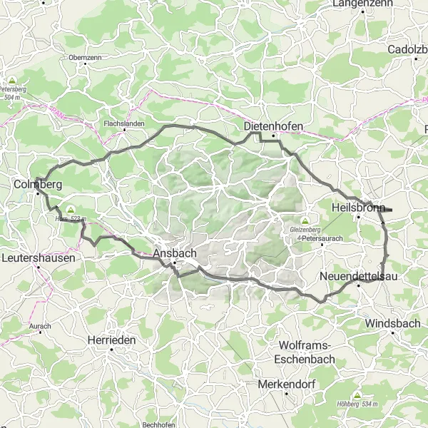
Explore the picturesque landscapes and cultural highlights of the Colmberg region on this 86 km road cycling loop. With a total ascent of 733 meters, the route takes you through beautiful rolling hills, quaint towns, and offers breathtaking views along the way. The difficulty level is moderate, suitable for well-trained amateurs, while the epicness of the route is rated at 3 out of 5.
road
86 km
733 m
Tough
Route profile
Highlights on the route
0 km
0 km
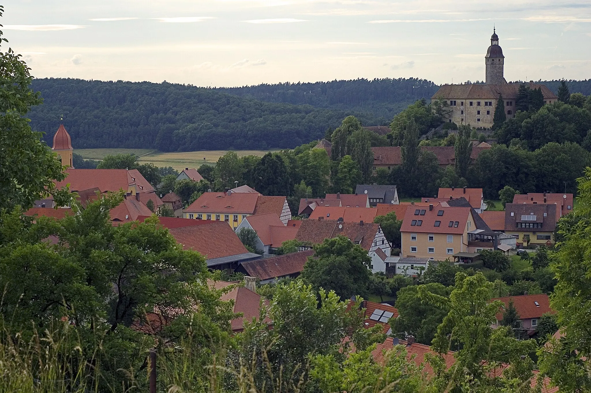
Start: Colmberg City centerColmberg: Cycling in the Charming Town of Colmberg, Mittelfranken, Germany
Colmberg is a charming town located in Mittelfranken, Germany. From a cyclist's perspective, Colmberg offers a variety of road and gravel routes that showcase the beautiful countryside and picturesque villages in the region. The roads are well-maintained and there are minimal traffic, making it a peaceful and enjoyable cycling experience. One of the iconic cycling spots nearby is the climb up to the Colmberg Castle, which offers stunning views at the top. Overall, Colmberg is a great destination for both road and gravel cyclists.0 km
0 km
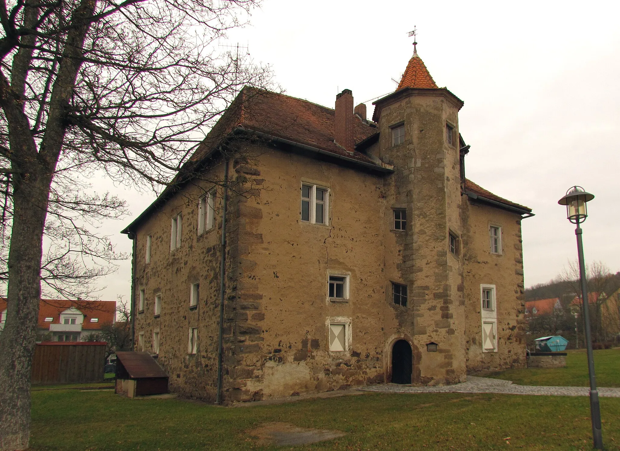
ColmbergTownColmberg: Start your ride in the charming town of Colmberg, known for its historic castle and stunning views over the Aisch Valley.
1 km
1 km
Schulzenhöhe532 mPeakSchulzenhöhe: Enjoy panoramic views from the Schulzenhöhe hill, considered one of the best viewpoints in the region.
21 km
21 km
Höfner Berg413 mPeakHöfner Berg: Climb the Höfner Berg and be rewarded with a challenging ascent and incredible vistas from the summit.
29 km
29 km
Wacholderbuck398 mPeakWacholderbuck: Pass through the Wacholderbuck area, known for its juniper bushes and unique flora.
32 km
32 km
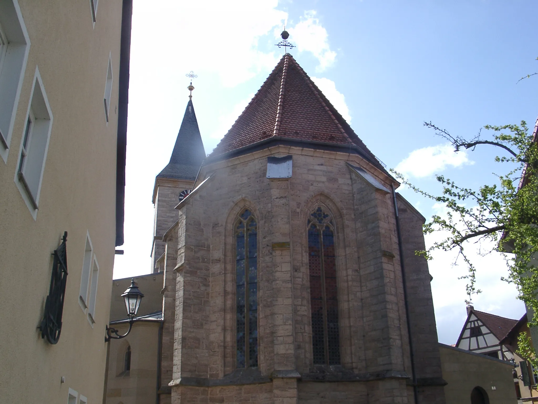
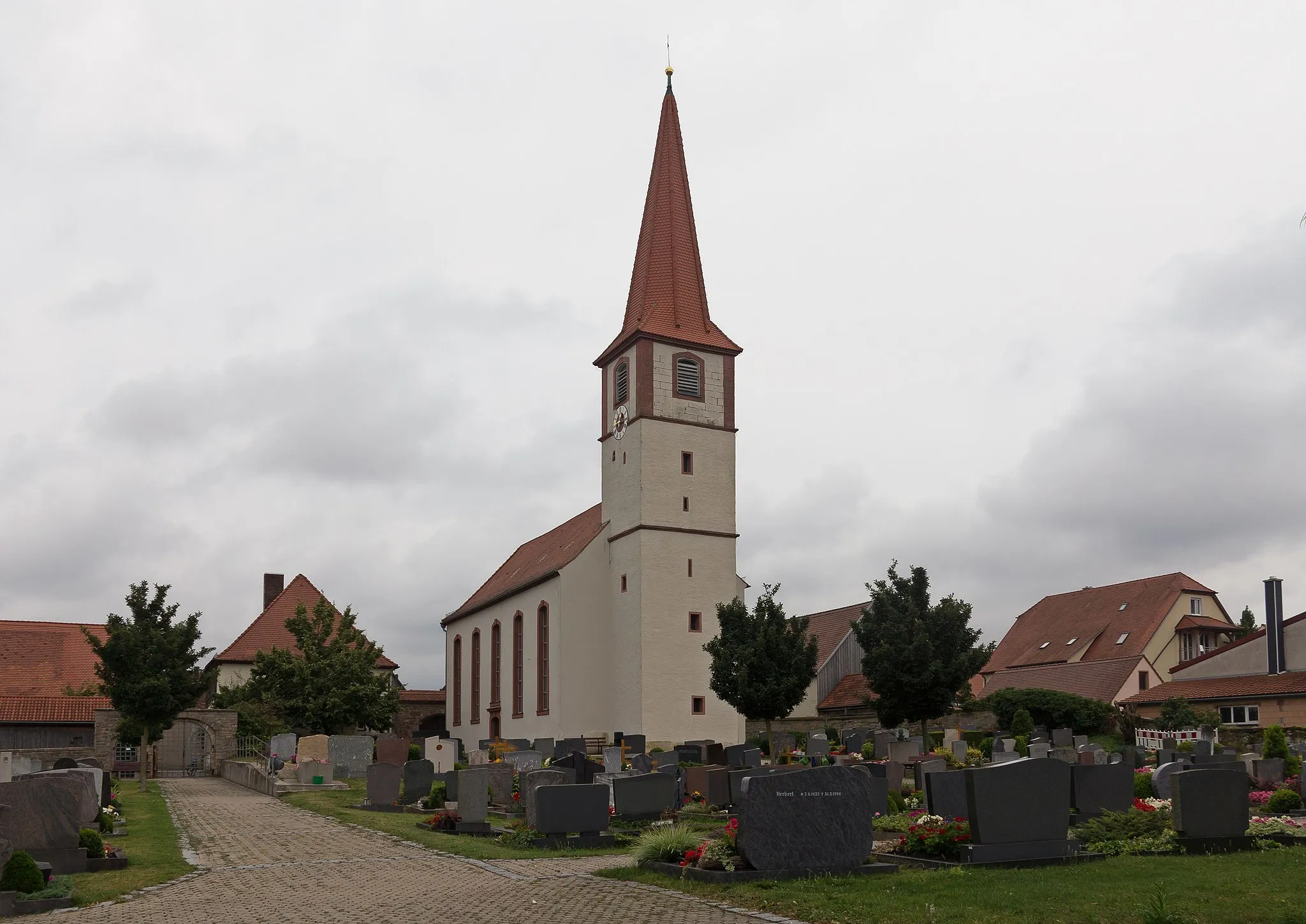
KetteldorfVillageKetteldorf: Visit the charming village of Ketteldorf, with its half-timbered houses and picturesque streets.
51 km
51 km
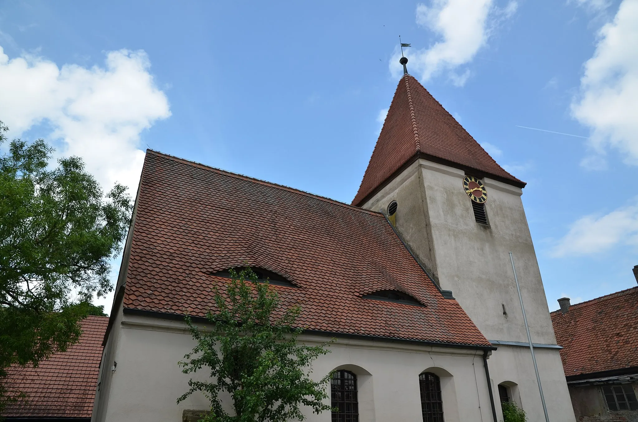
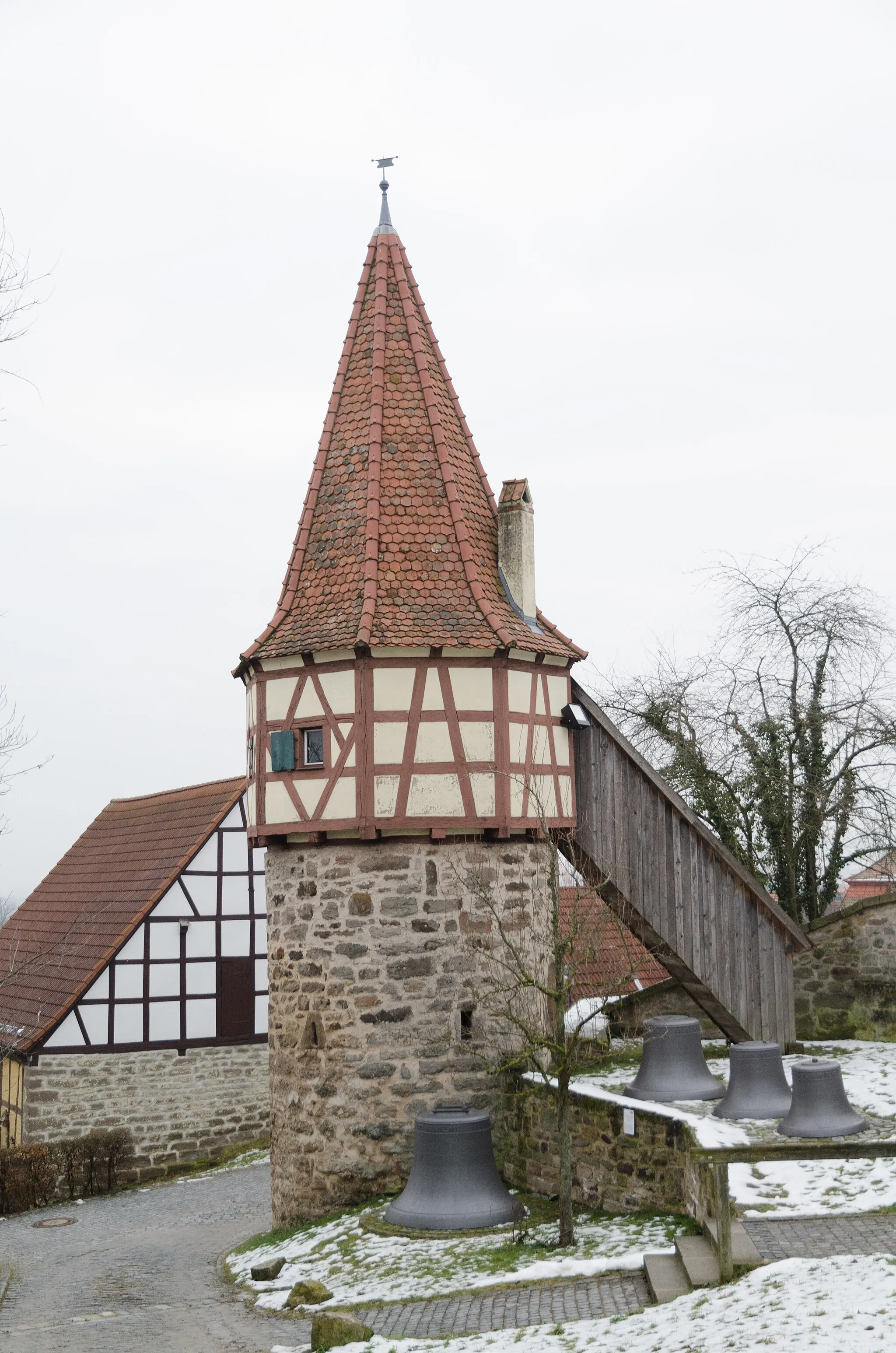
SchlauersbachVillageSchlauersbach: Explore the idyllic village of Schlauersbach, surrounded by rolling hills and lush meadows.
59 km
59 km
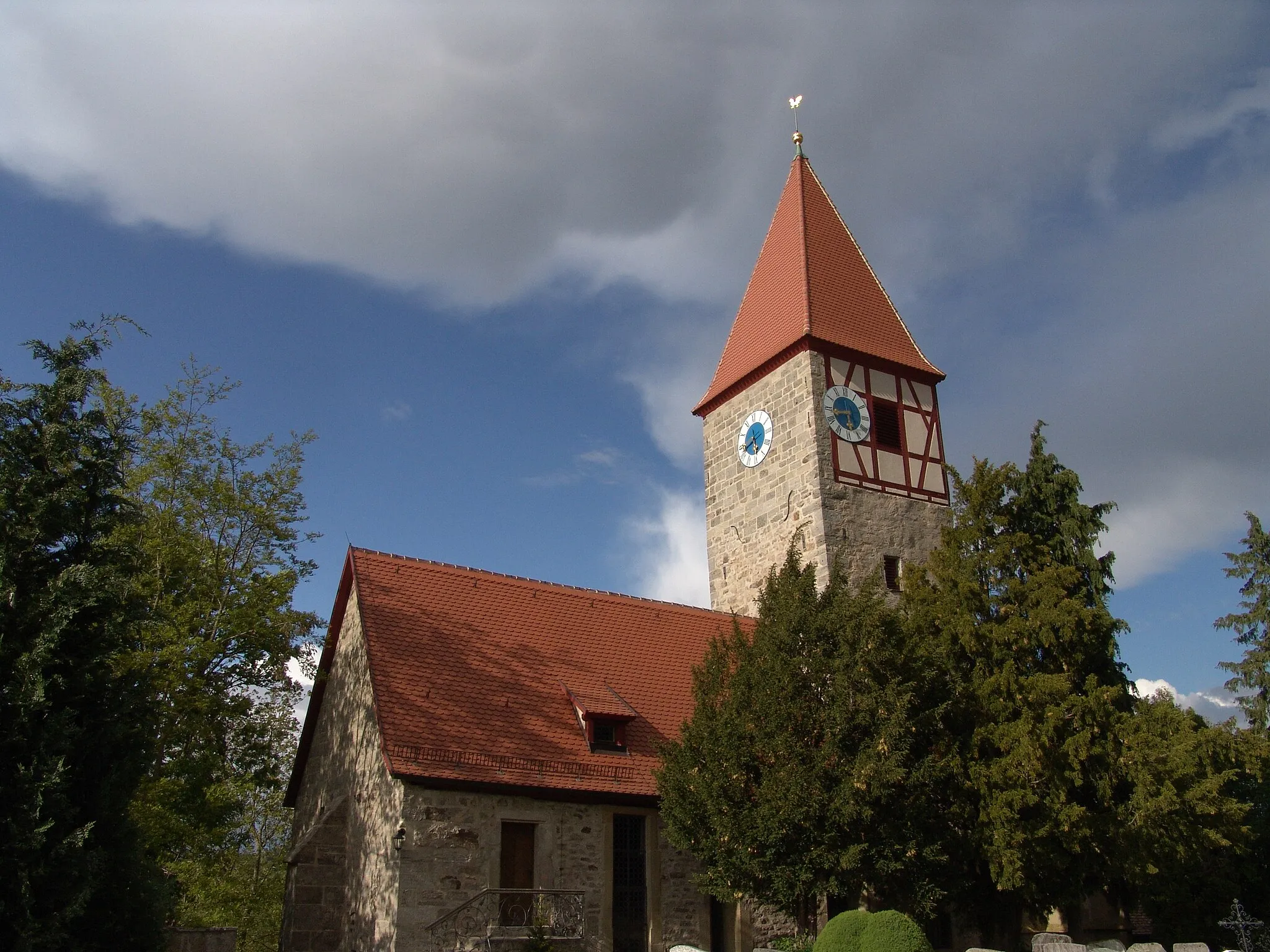
Sachsen bei AnsbachVillageSachsen bei Ansbach: Pass through Sachsen bei Ansbach, a charming town with a rich history and cultural heritage.
72 km
72 km
Bocksberg480 mPeakBocksberg: Experience the thrill of descending from Bocksberg, one of the highlights of this route.
80 km
80 km
Geißberg518 mPeakGeißberg: Ride up the challenging Geißberg and enjoy the stunning views from its hilltop.
81 km
81 km
OberramstadtVillageOberramstadt: Take a break in Oberramstadt, a picturesque village with beautiful architecture and a tranquil atmosphere.
86 km
86 km
Finish: Colmberg City centerColmberg: Cycling in the Charming Town of Colmberg, Mittelfranken, Germany
Cycling routes nearby: