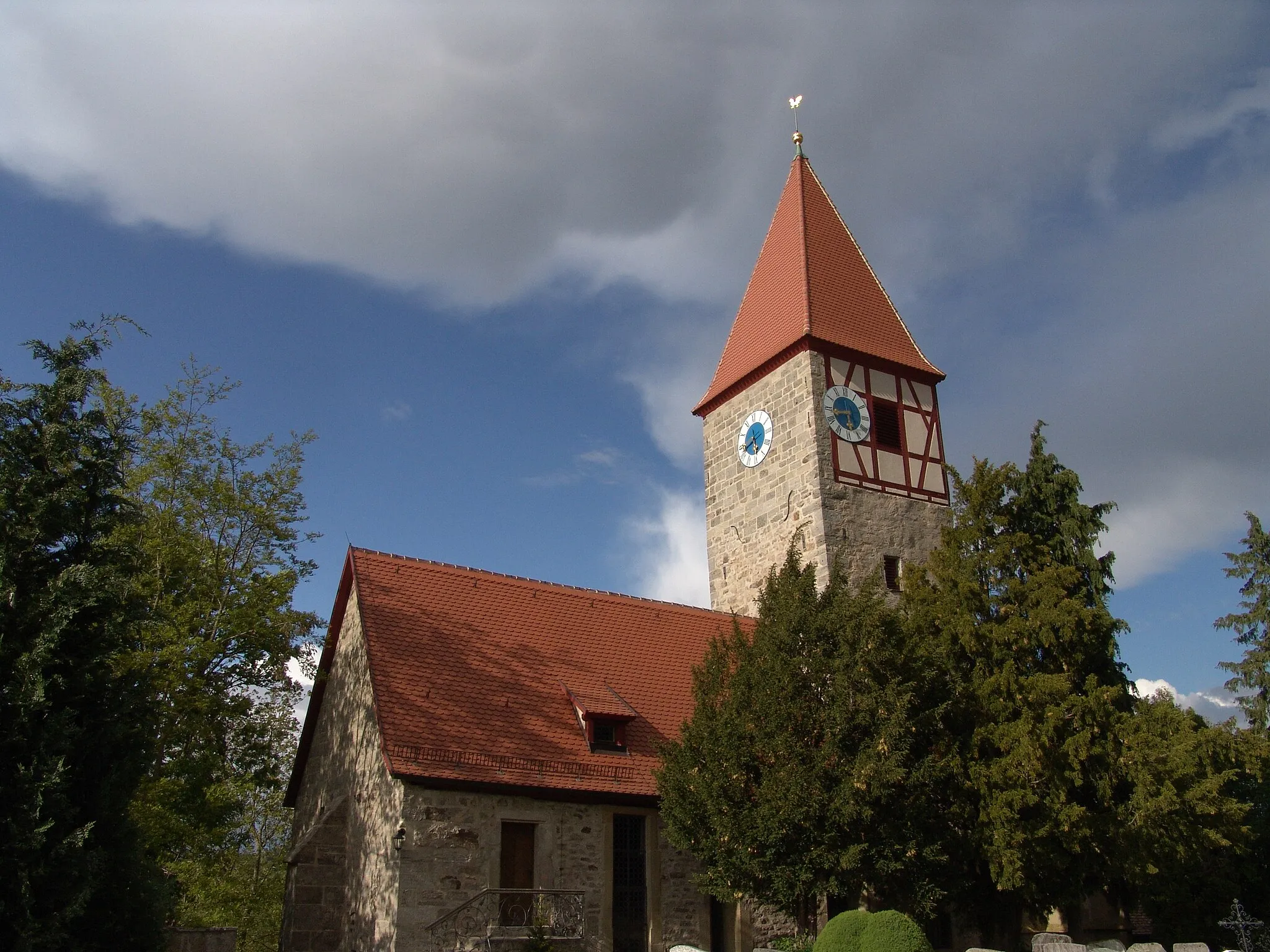
Scenic routes and challenging climbs await cyclists in Neusitz.
Cycling routes from Neusitz
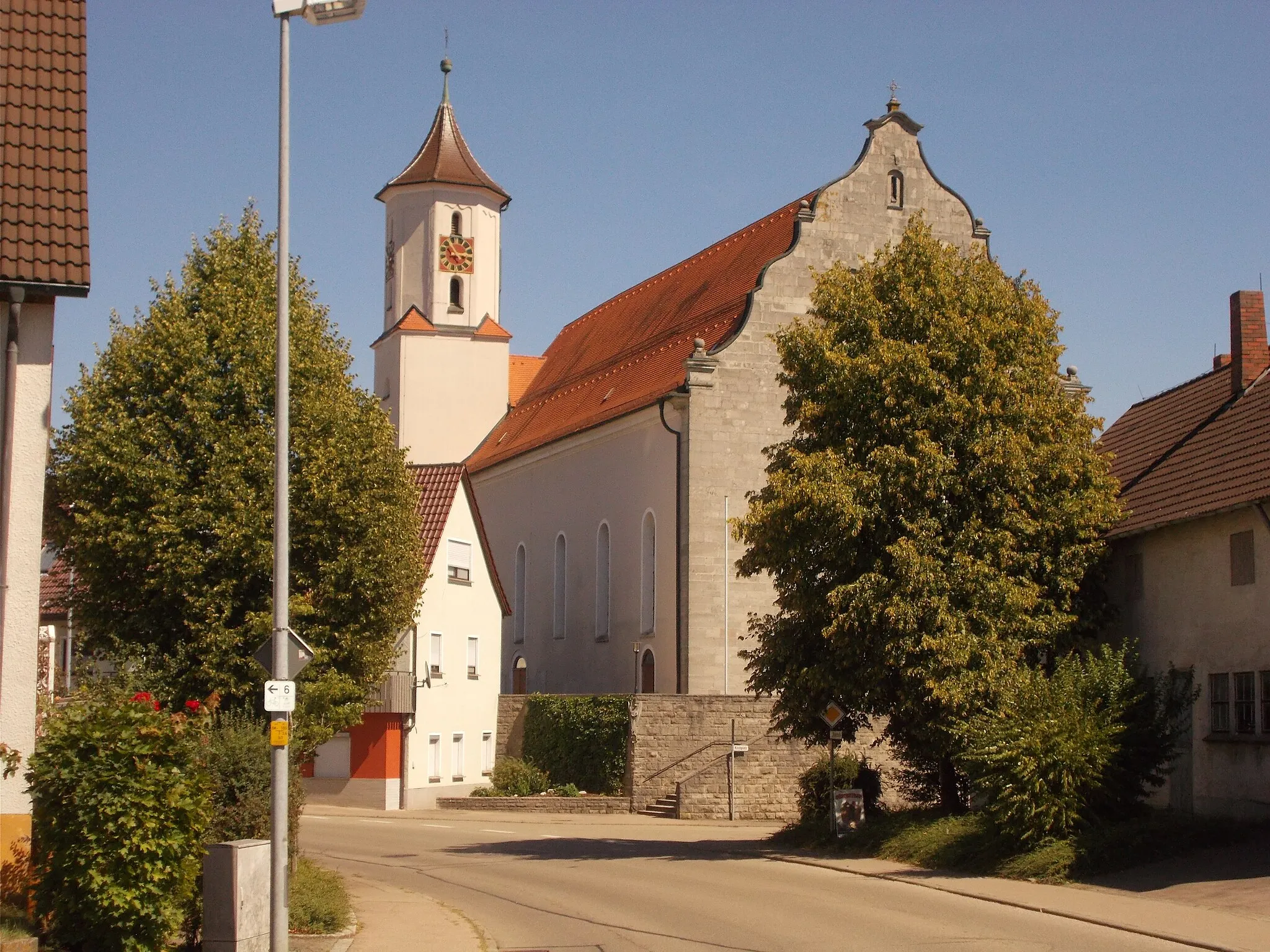
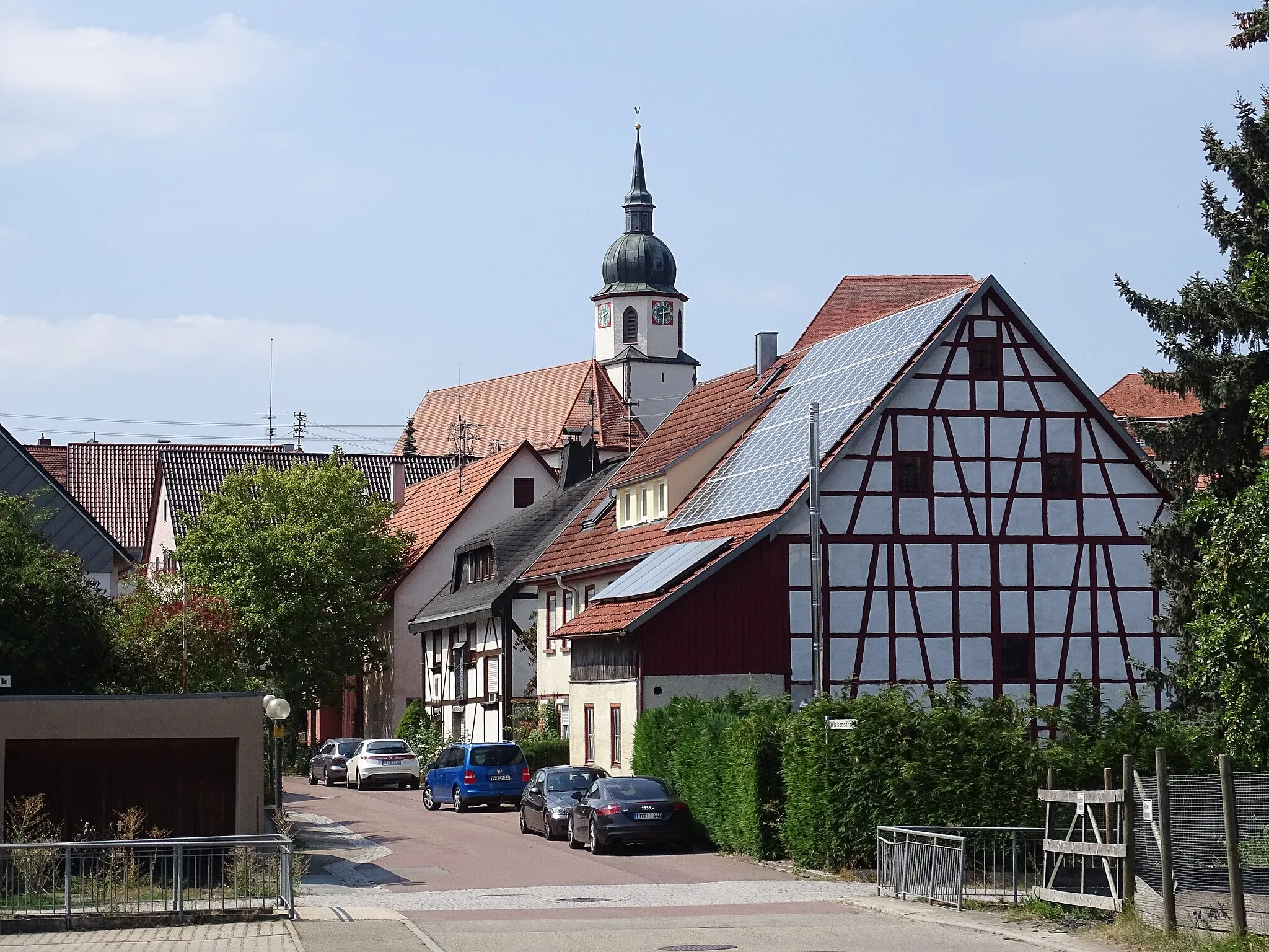
Neusitz is a region located in Mittelfranken, Germany. Neusitz is a great locality for road and gravel cyclists, with numerous cycling routes available that offer stunning views and challenging climbs. Nearby, cyclists can find well-known climbs such as the Franconian Heights, which attracts both competitive riders and tourists. Overall, Neusitz is a popular destination for cycling enthusiasts looking for scenic routes and challenging climbs.
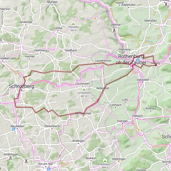
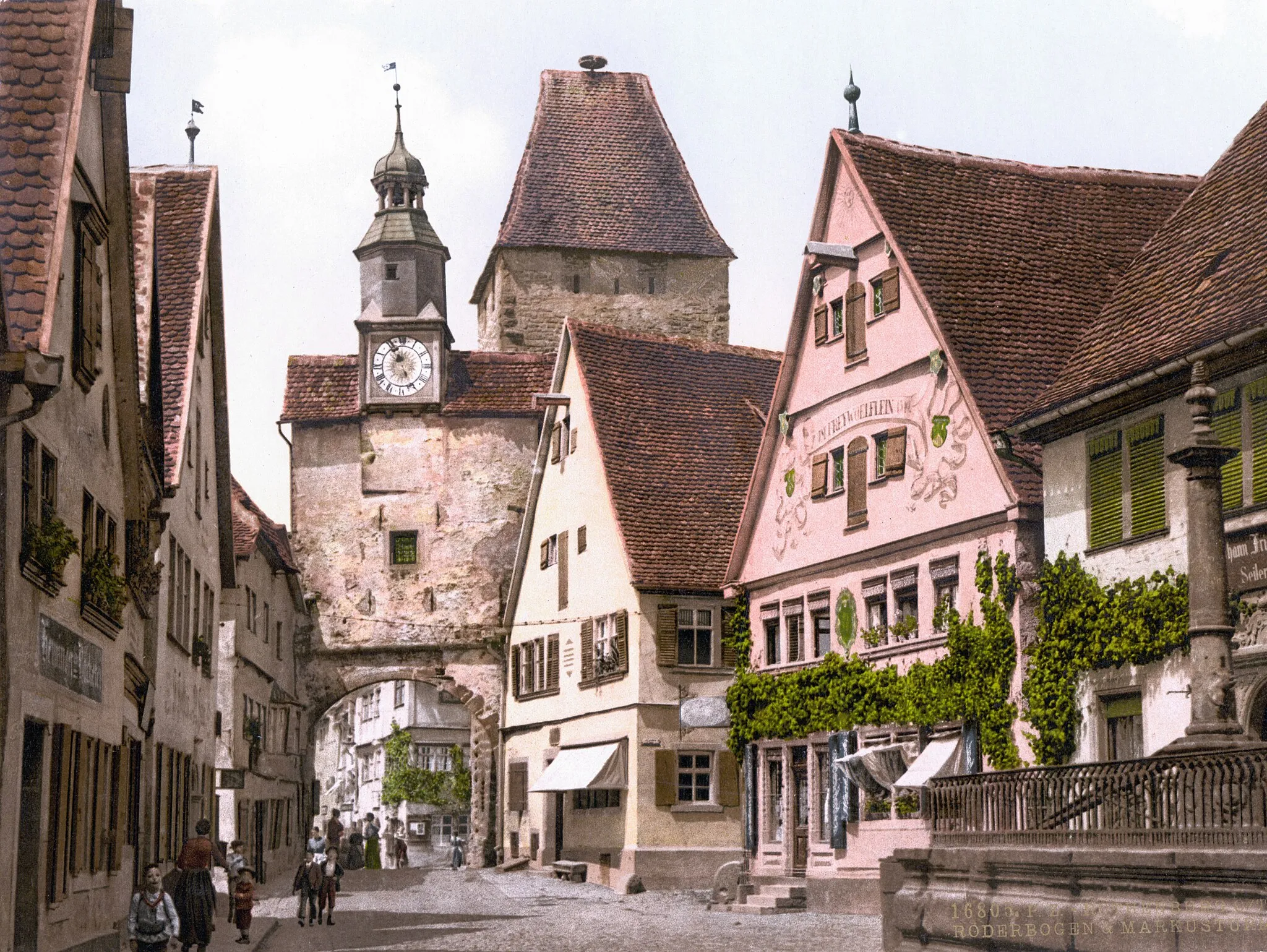
Cycle through picturesque landscapes on this 52 km gravel route to Rothenburg ob der Tauber.
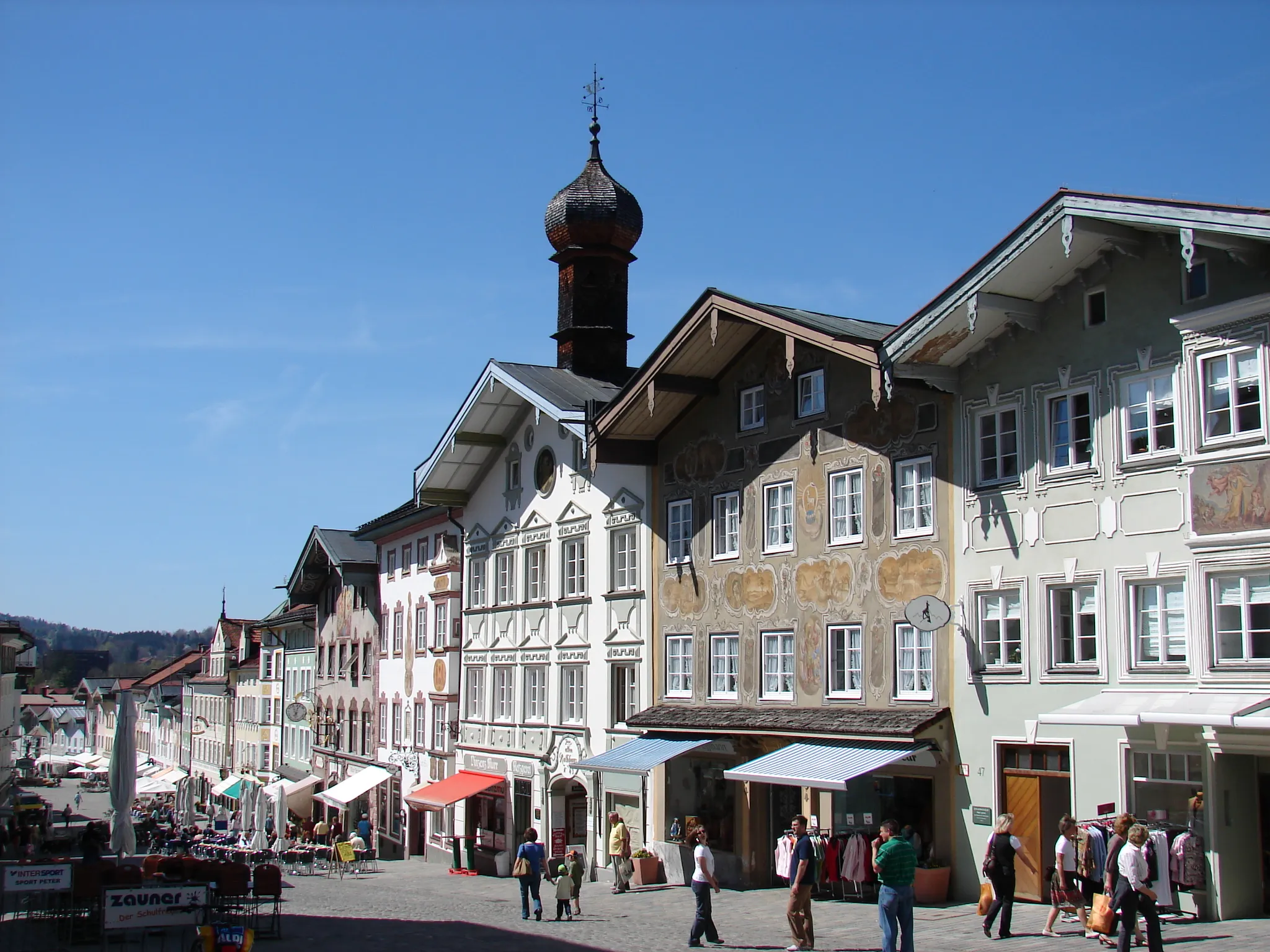
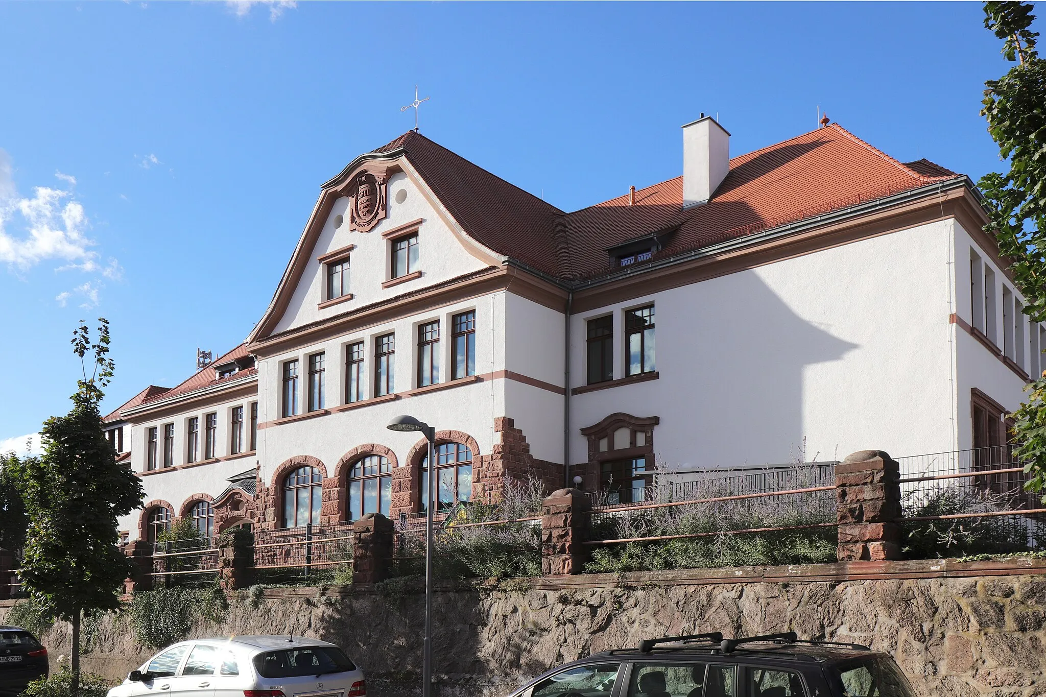
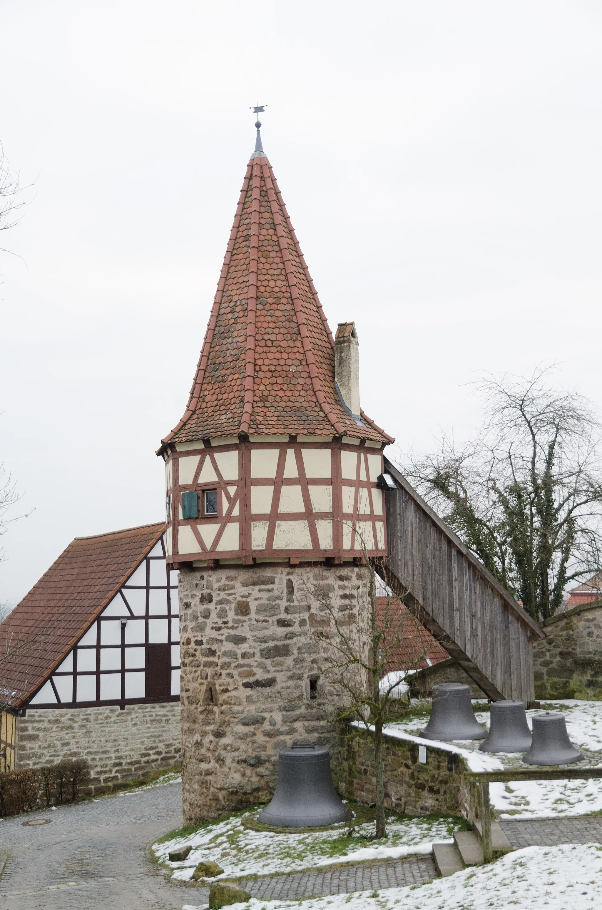
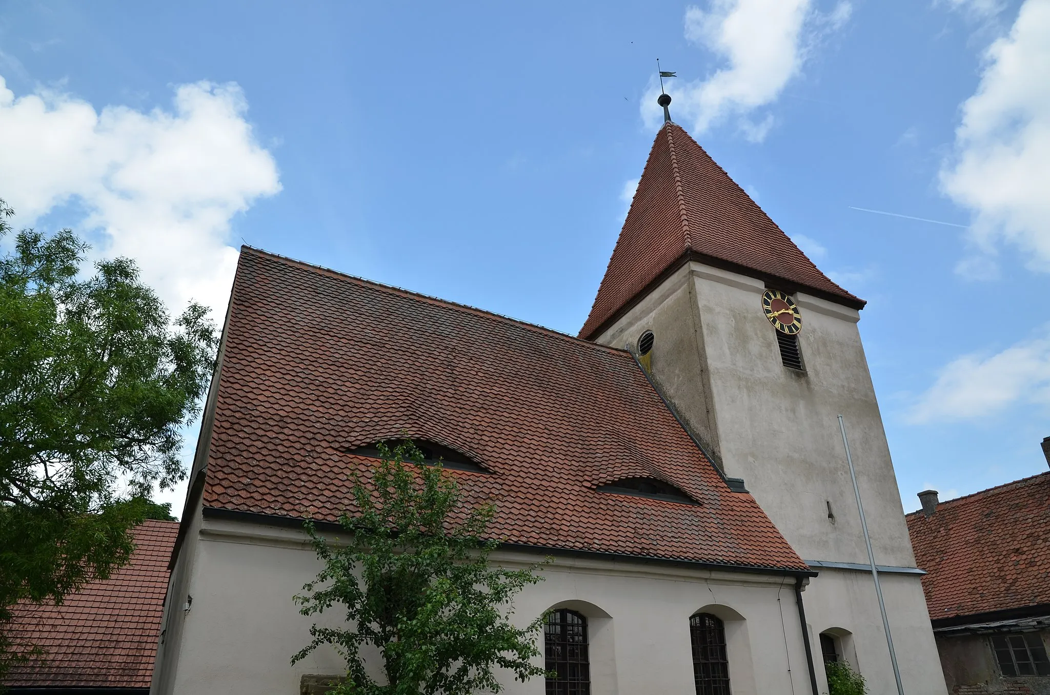
This gravel route takes you through beautiful landscapes and historic towns. With an ascent of 536m, the 52 km route offers a moderate challenge suitable for intermediate cyclists. Gammesfeld is the starting point, known for its scenic surroundings and peaceful ambiance. The route then leads to Schrozberg, a charming town with traditional Franconian architecture. The highlight of the route is Rothenburg ob der Tauber, a medieval walled town famous for its well-preserved old town and picturesque streets. Take some time to explore the town's rich history and soak in the unique atmosphere.
Gebsattel Explorer
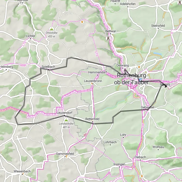
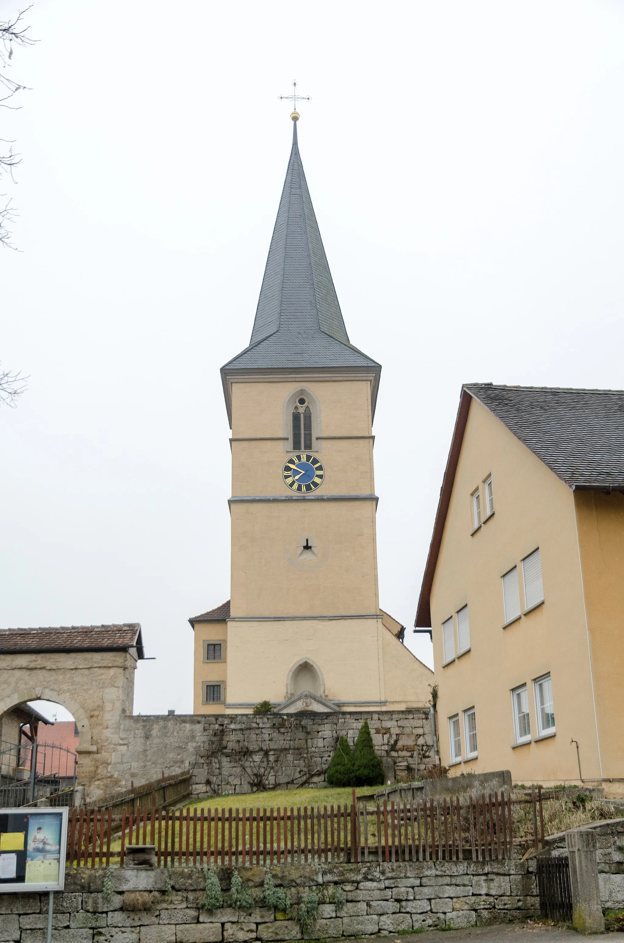
Embark on a historic journey as you cycle through the charming town of Gebsattel.
Take a trip back in time on the Gebsattel Explorer. This 39-kilometer road cycling route offers a unique blend of history, culture, and stunning natural beauty. With an ascent of 392 meters, this route provides a moderate challenge for well-trained amateurs. Explore charming villages and captivating landscapes as you discover the rich heritage of Gebsattel and its surroundings.
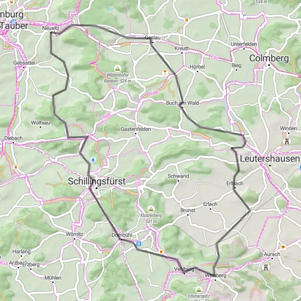
Embark on an adventurous road cycling journey through picturesque landscapes and charming villages.
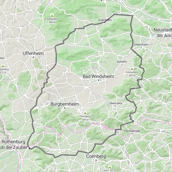
Discover the hidden gems of Mittelfranken on the Buch am Wald Loop. This 53-kilometer road cycling route provides a moderate challenge with an ascent of 582 meters. As you traverse through picturesque landscapes and charming villages, you'll be rewarded with stunning views and fascinating historical landmarks. This route is ideal for well-trained amateurs looking to explore the scenic countryside of Germany.
Nordenberg Loop
Experience the charming countryside and historical landmarks on this scenic road cycling route.
Embark on a delightful journey through the beautiful countryside of Mittelfranken on the Nordenberg Loop. This road cycling route offers a perfect combination of natural beauty and historical landmarks. With a distance of 67 kilometers and an ascent of 558 meters, it provides a moderate challenge for well-trained amateurs. The route takes you through picturesque towns and villages, offering breathtaking views of the surrounding landscape.
Experience the scenic countryside and climb the Hutbuck on this challenging 34 km gravel route.
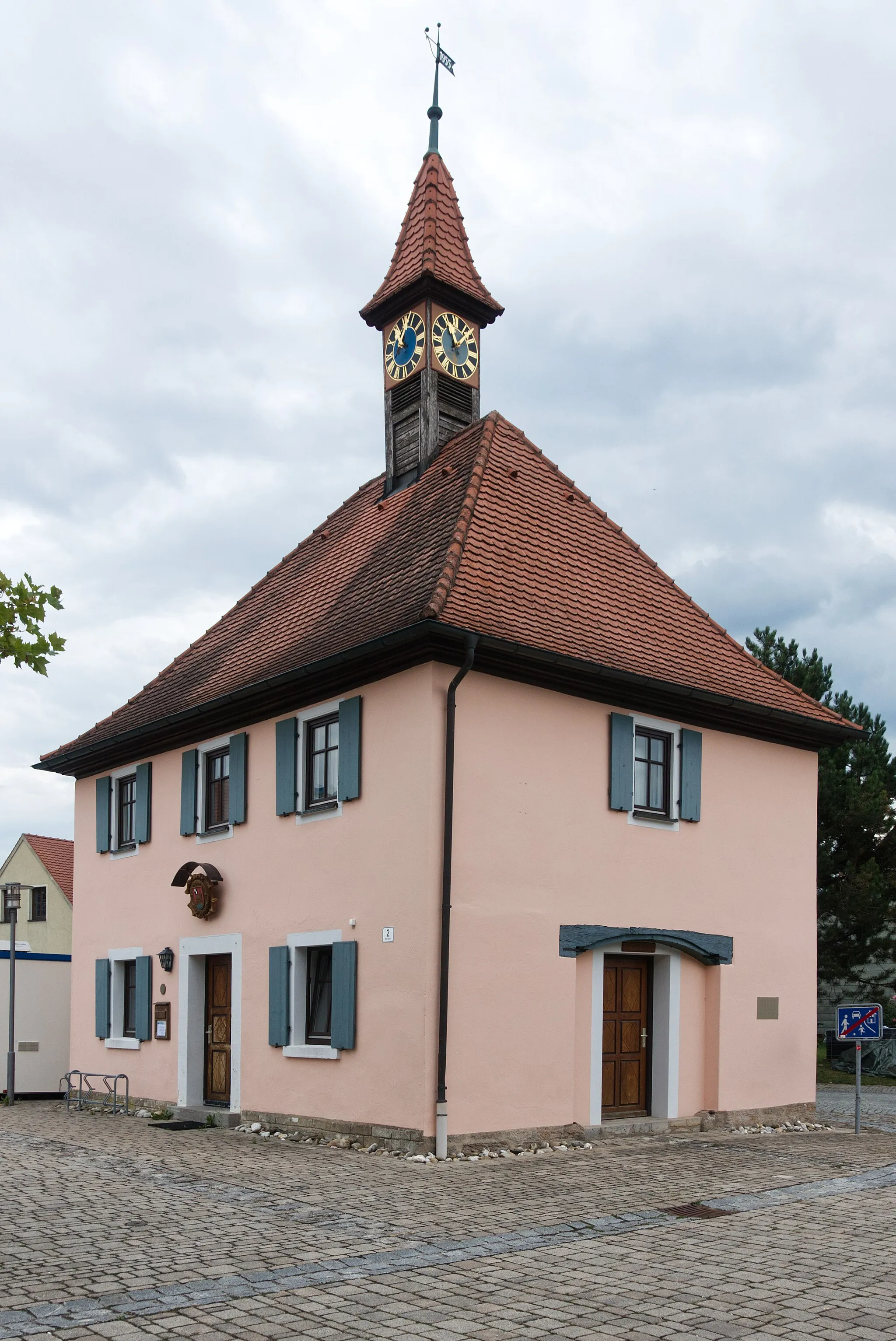
This gravel route takes you through the picturesque countryside near Neusitz. With a total ascent of 348m and a distance of 34km, this route offers a challenging yet rewarding ride. Along the way, you'll pass highlights such as Gallmersgarten and Windelsbach, where you can take in the charming rural scenery. The route ends at Neusitz, where you can enjoy a well-deserved rest.
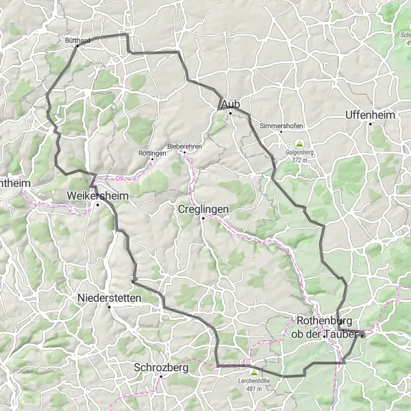
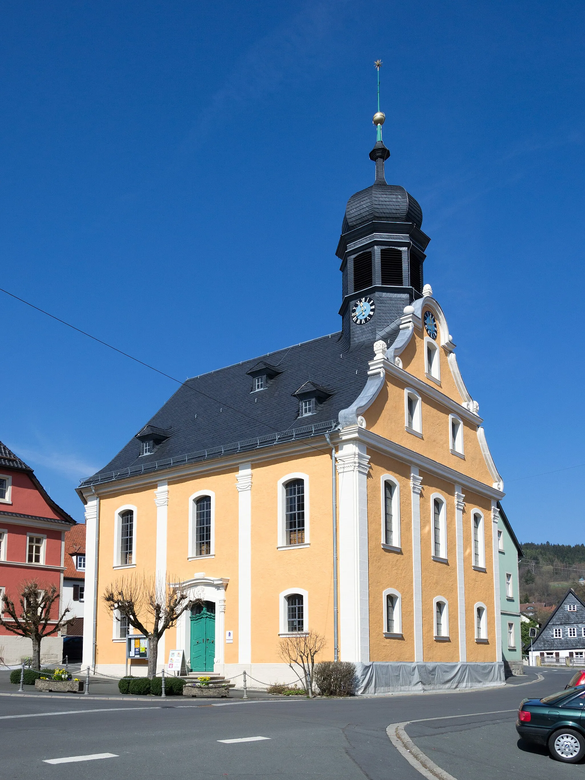
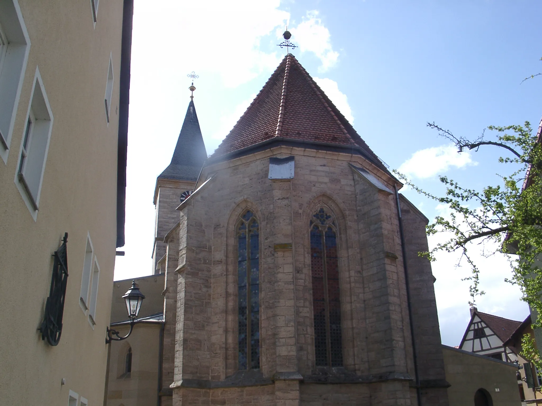
Embark on a challenging 106 km road route, climbing to Schloßberg for stunning panoramic views.
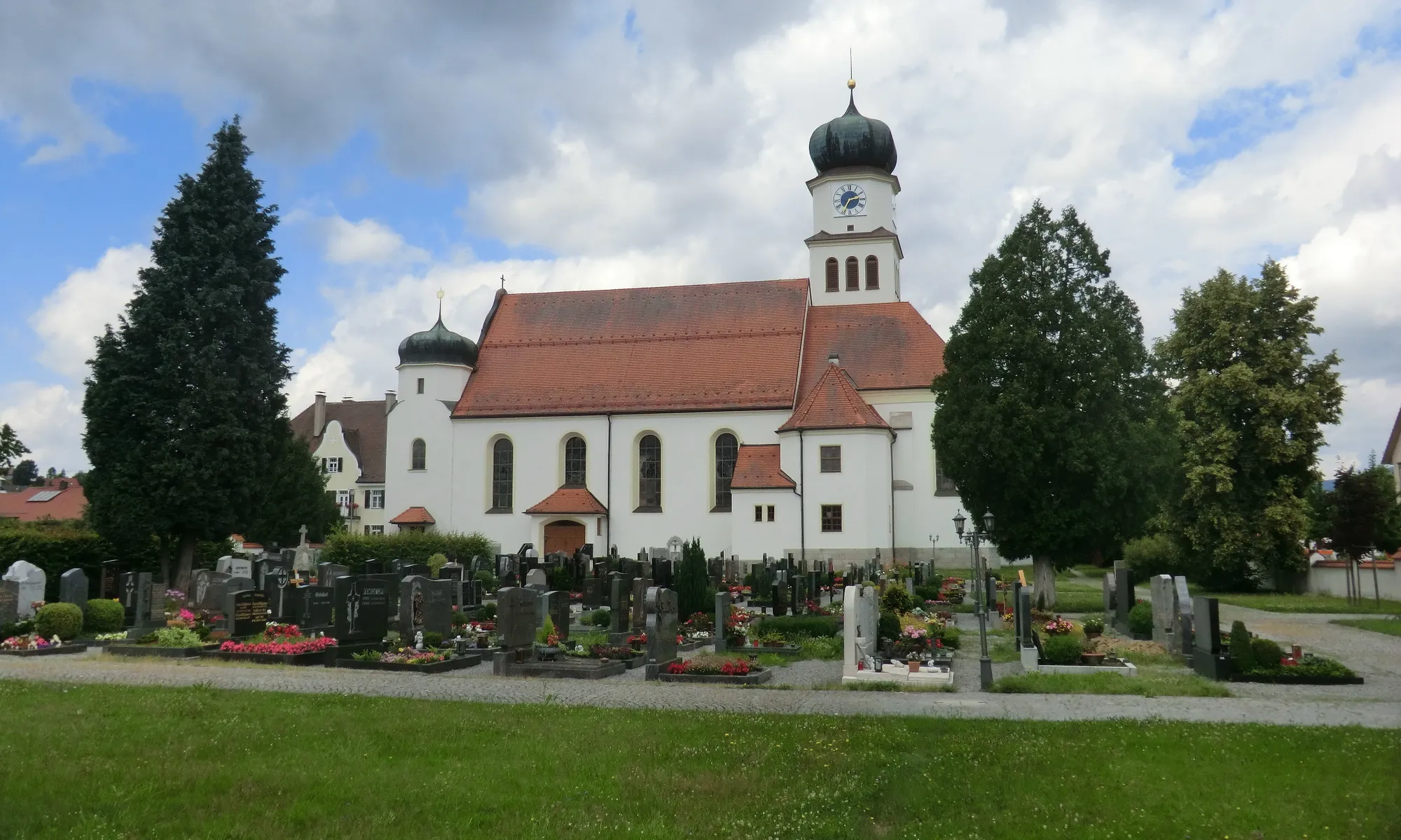
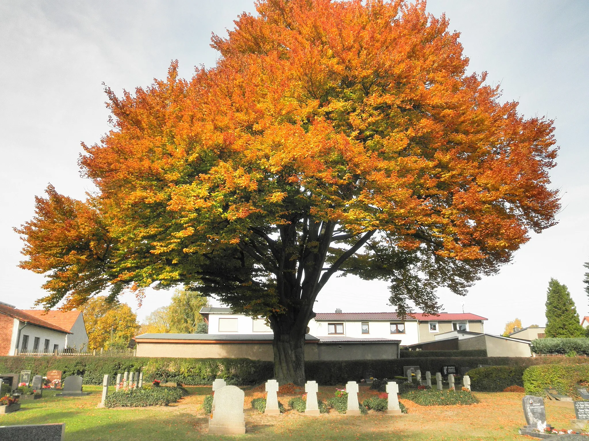
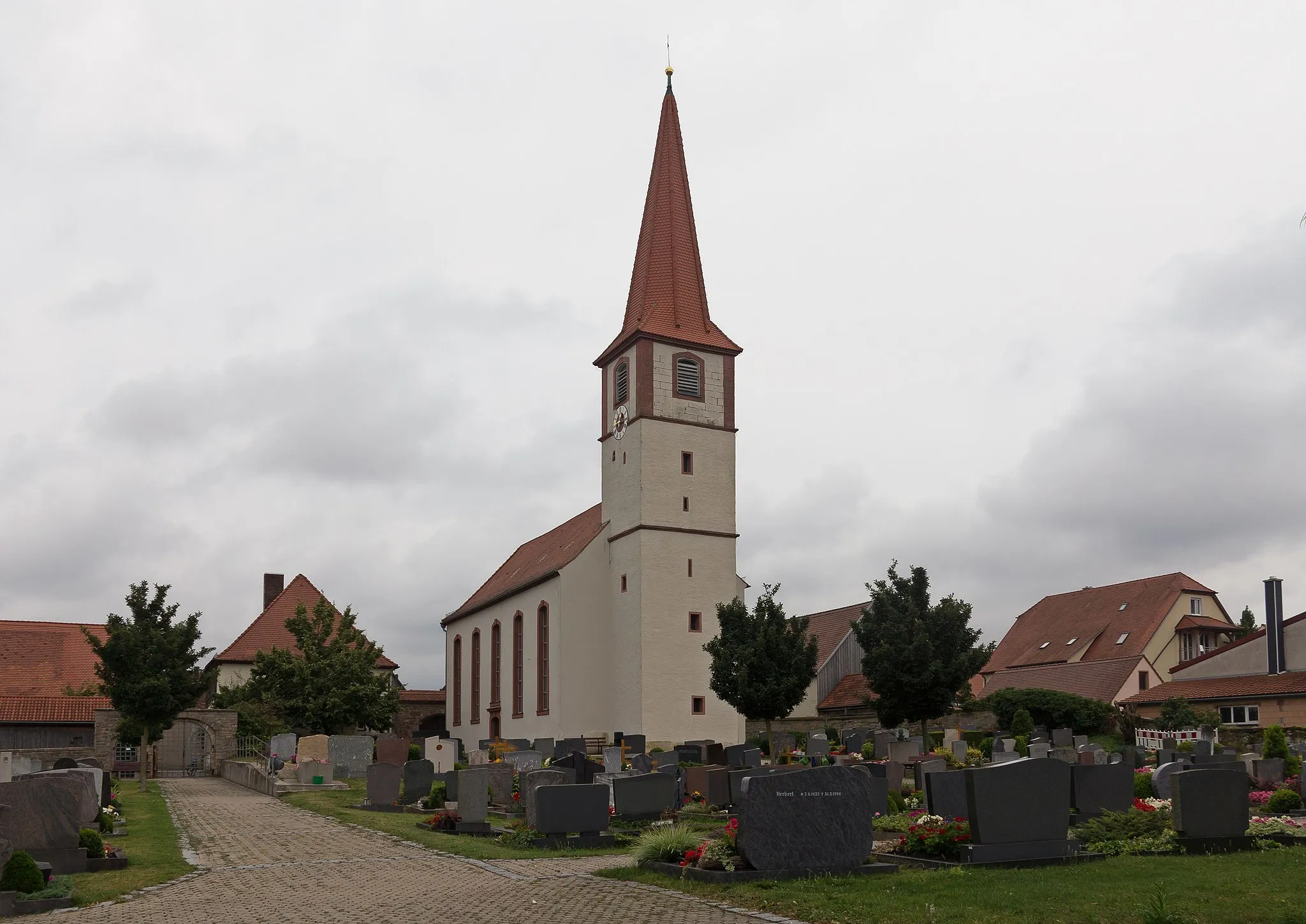
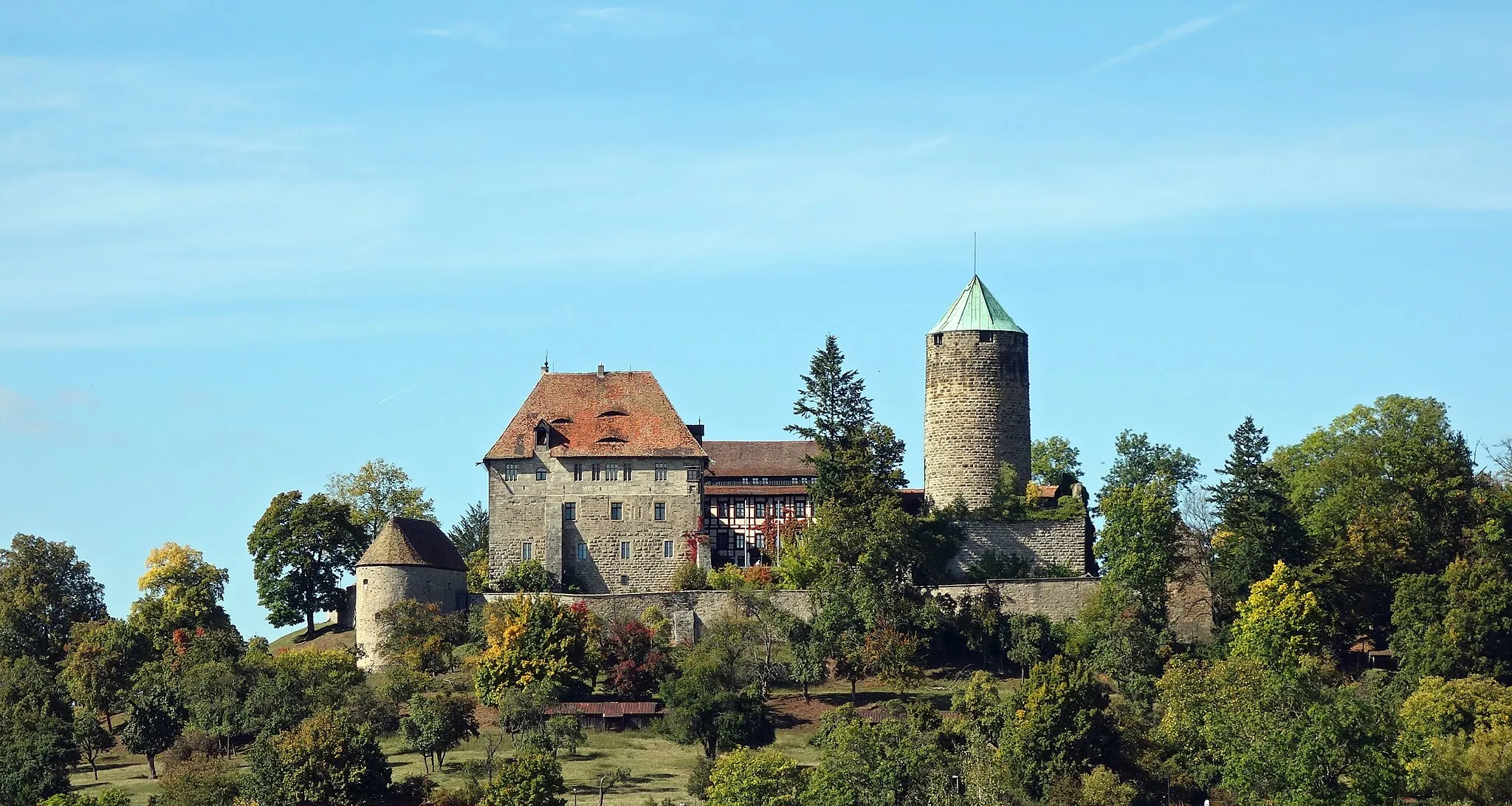
This road route takes you through picturesque villages and challenging climbs. With a total ascent of 928m, this 106 km route is recommended for experienced cyclists. Highlights include Gebsattel, a charming village with traditional Franconian architecture, and Ebertsbronn, known for its tranquil cemetery surrounded by ancient trees. The route also passes by Schloss Weikersheim, a magnificent Renaissance palace, and Bütthard, a historical trading town. The highlight of the route is the climb to Schloßberg, where you can enjoy breathtaking panoramic views of the surrounding countryside.

Enjoy a scenic 40 km gravel route, with a challenging climb to Schloßberg as the highlight.
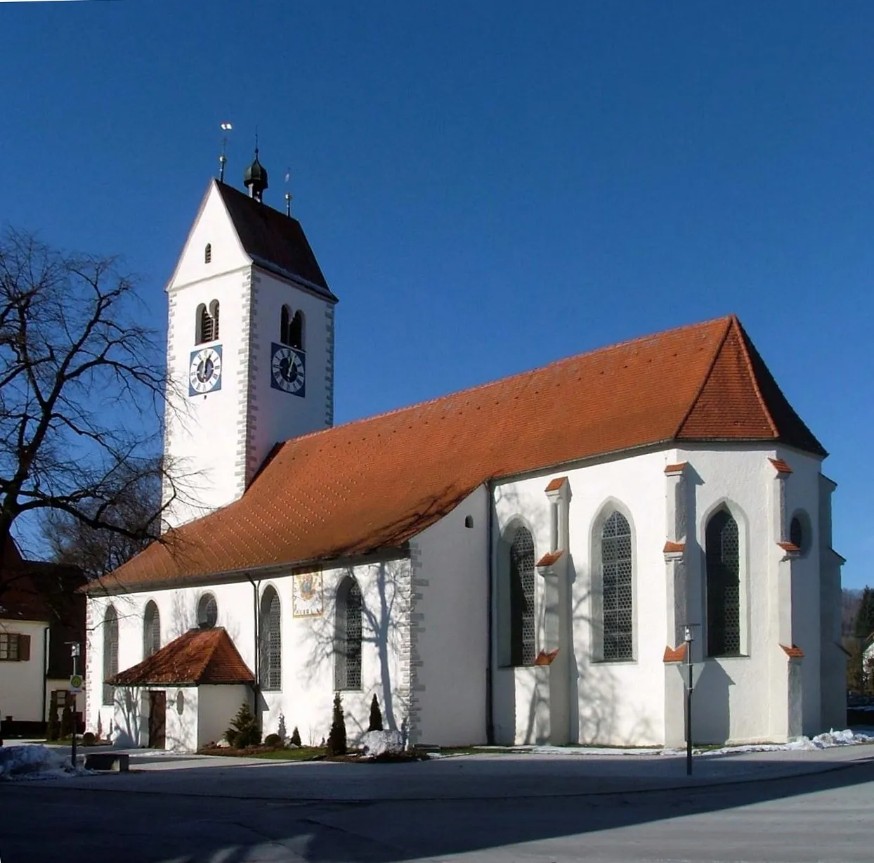
This scenic gravel route starts in Lug ins Land and takes you through beautiful landscapes. With an ascent of 269m, the 40 km route is suitable for cyclists of various levels. Highlights along the route include Steinsfeld, a charming village known for its traditional Franconian architecture, and Ohrenbach, a tranquil village surrounded by picturesque nature. The highlight of the route is the climb to Schloßberg, which offers stunning views of the region. Whether you're an experienced cyclist seeking a challenge or a leisure rider looking for scenic beauty, this route has something to offer for everyone.
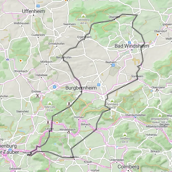
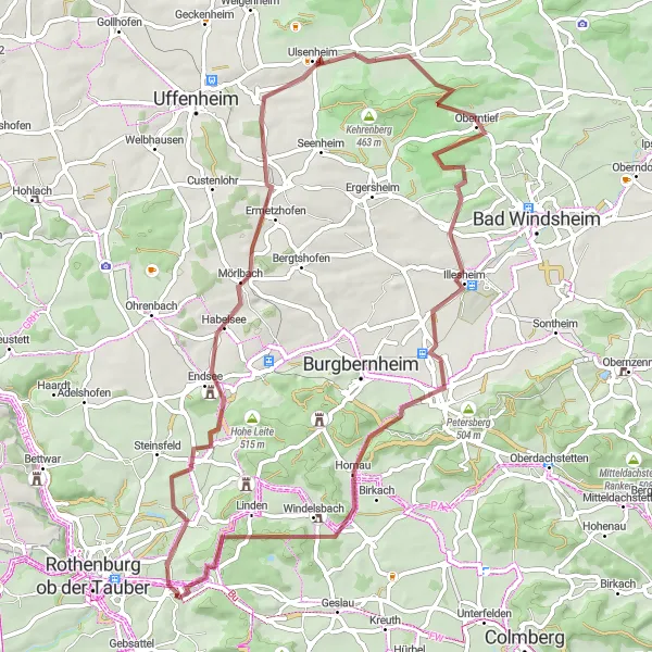
Habelsee Adventure
Embark on an epic cycling adventure through picturesque landscapes and charming villages.
For those seeking an unforgettable cycling experience, the Habelsee Adventure is the perfect choice. With a distance of 104 kilometers and an ascent of 918 meters, this road cycling route offers a challenging yet rewarding journey. Traverse through breathtaking landscapes, visit enchanting villages, and discover hidden gems along the way. This route is ideal for experienced cyclists looking for an epic adventure in Mittelfranken.
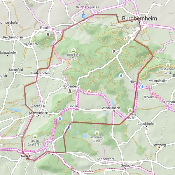
Nordenberg Loop
Explore the scenic countryside surrounding Neusitz on this gravel cycling route
Experience the beauty of Neusitz and its surroundings on this gravel cycling route. With a total distance of 53 kilometers and an ascent of 524 meters, this loop offers a challenging yet rewarding adventure. The route takes you through picturesque landscapes and charming villages, allowing you to immerse yourself in the rich history and culture of the region. From Nordenberg to Schloßberg, you'll encounter a variety of highlights that showcase the natural and architectural beauty of Mittelfranken. Get ready for an epic ride filled with excitement and unforgettable experiences!
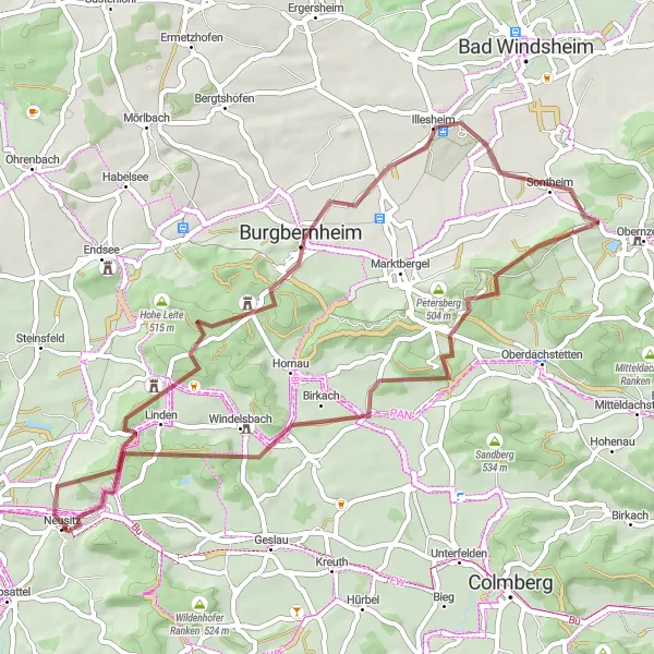
Habelsee to Neusitz Gravel Route
Embark on a thrilling 66 km gravel route and conquer challenging climbs on your way to Neusitz.
This adventurous gravel route offers breathtaking views along its 66 km stretch. With an ascent of 550m, the route is suitable for experienced cyclists seeking a challenge. Highlights of the route include Habelsee, known for its tranquil lake, and Rudolzhofen, a charming village with traditional Franconian architecture. The route also passes through Neusitz, where you can take a break and explore the village's historical attractions.
Cycling routes nearby:

Nearby regions: