Habelsee to Neusitz Gravel Route
A gravel cycling route starting from Neusitz
Embark on a thrilling 66 km gravel route and conquer challenging climbs on your way to Neusitz.
Map
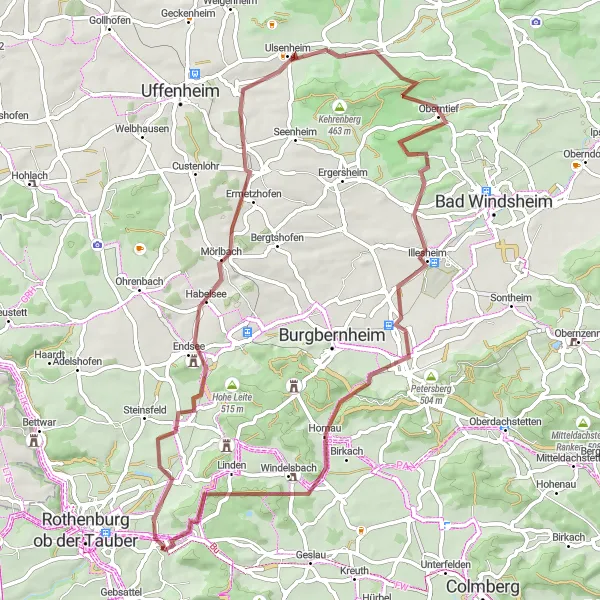
This adventurous gravel route offers breathtaking views along its 66 km stretch. With an ascent of 550m, the route is suitable for experienced cyclists seeking a challenge. Highlights of the route include Habelsee, known for its tranquil lake, and Rudolzhofen, a charming village with traditional Franconian architecture. The route also passes through Neusitz, where you can take a break and explore the village's historical attractions.
gravel
66 km
550 m
Tough
Route profile
Highlights on the route
0 km
0 km
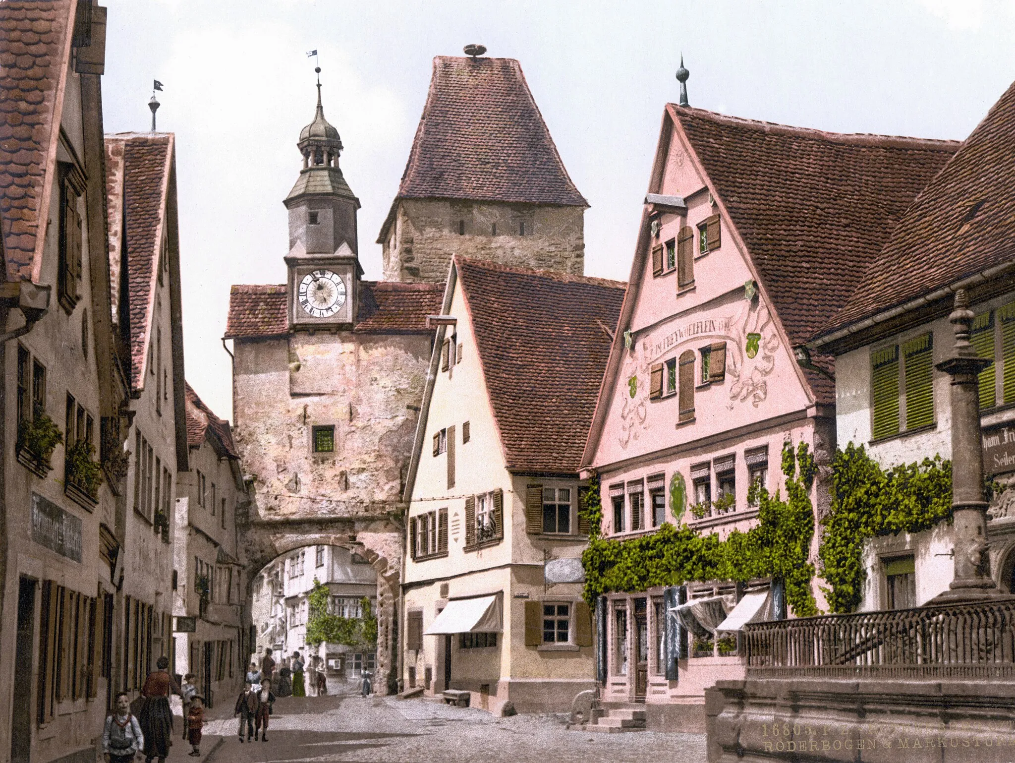
Start: Neusitz Village centerNeusitz: Scenic routes and challenging climbs await cyclists in Neusitz.
Neusitz is a region located in Mittelfranken, Germany. Neusitz is a great locality for road and gravel cyclists, with numerous cycling routes available that offer stunning views and challenging climbs. Nearby, cyclists can find well-known climbs such as the Franconian Heights, which attracts both competitive riders and tourists. Overall, Neusitz is a popular destination for cycling enthusiasts looking for scenic routes and challenging climbs.13 km
13 km
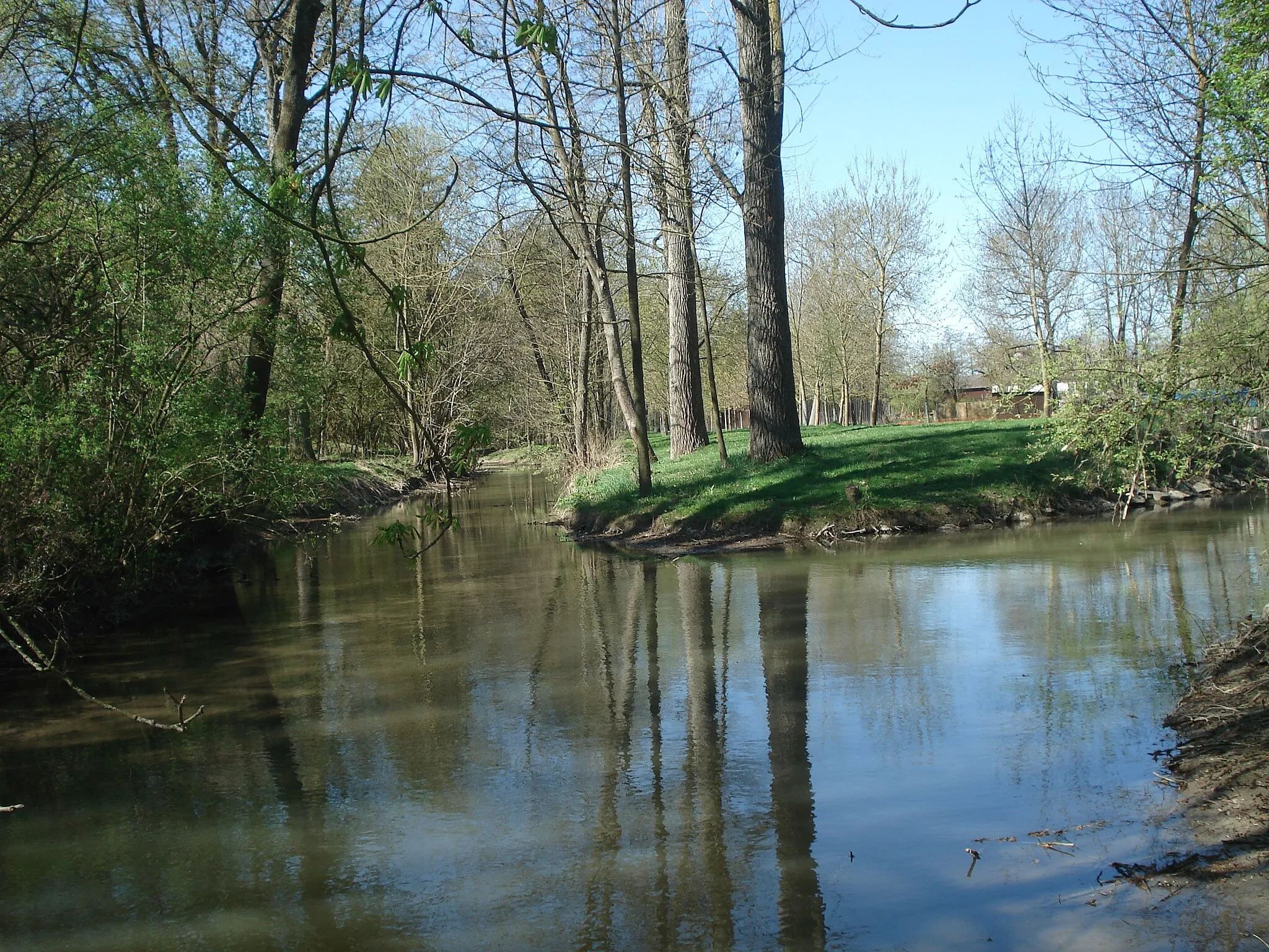
HabelseeVillageHabelsee is a serene lake surrounded by lush greenery, perfect for a refreshing break.
14 km
14 km
Gänsbuck396 mPeakGänsbuck is a challenging climb with rewarding views at the top.
20 km
20 km
RudolzhofenVillageRudolzhofen's picturesque village square is a great spot for a rest and to soak in the local atmosphere.
24 km
24 km
Zollbuck371 mPeakZollbuck is a scenic hill offering panoramic views of the surrounding countryside.
35 km
35 km
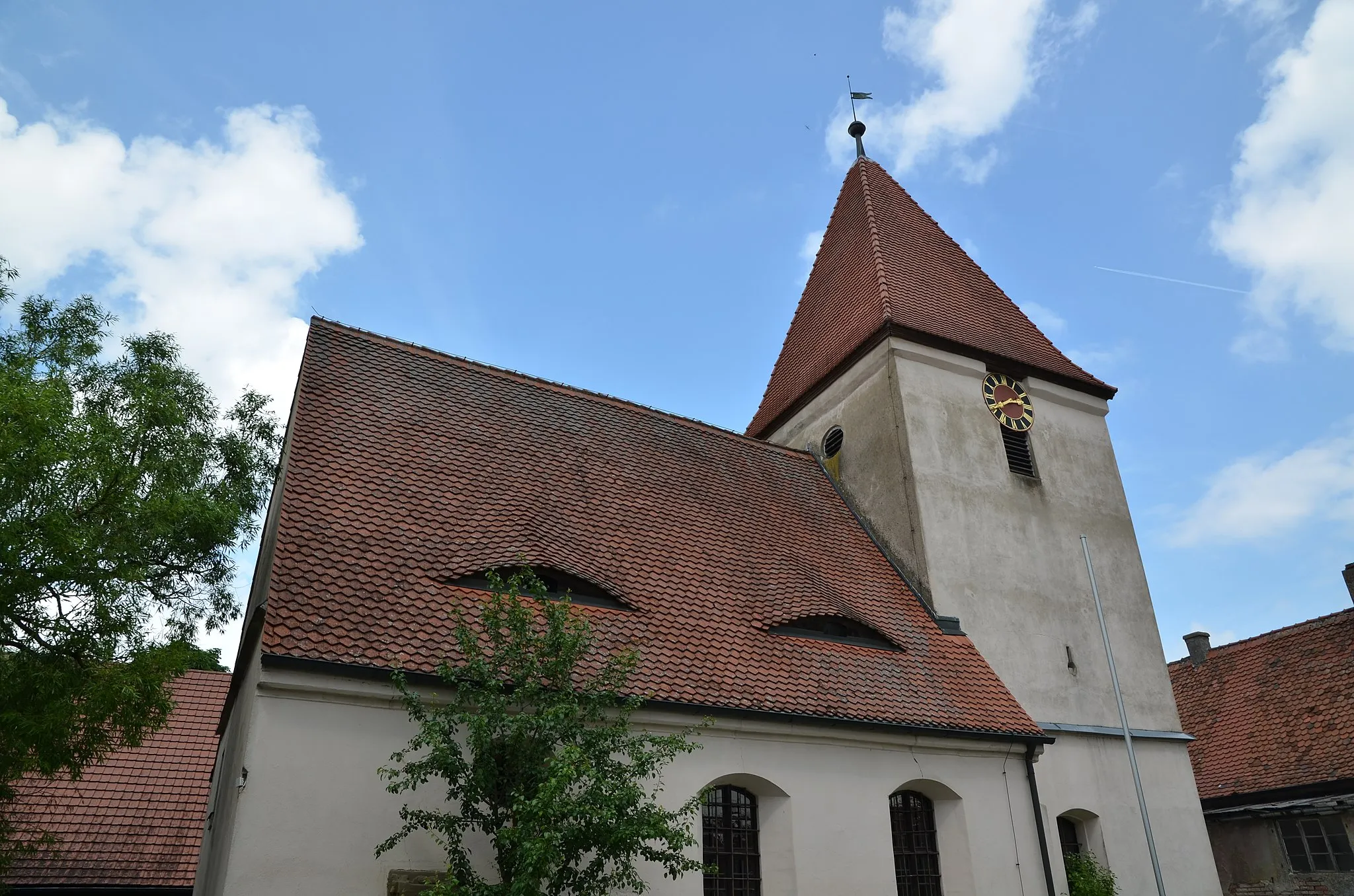
OberntiefVillageOberntief is known for its beautiful forest and tranquil ambiance.
44 km
44 km
Wolfsbuck331 mPeakWolfsbuck is a popular hiking and cycling destination with stunning natural surroundings.
50 km
50 km
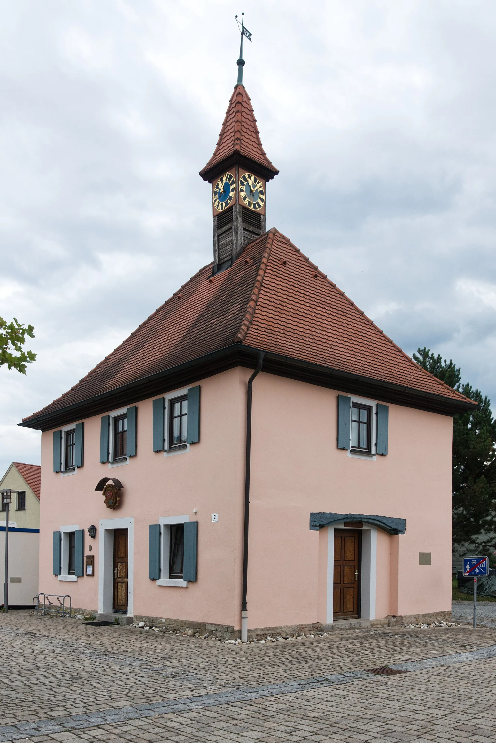
MarktbergelVillageMarktbergel is a picturesque town with charming half-timbered houses and a historic market square.
57 km
57 km
Ernstberg500 mPeakErnstberg offers breathtaking panoramic views of the region, making it a must-visit highlight.
66 km
66 km
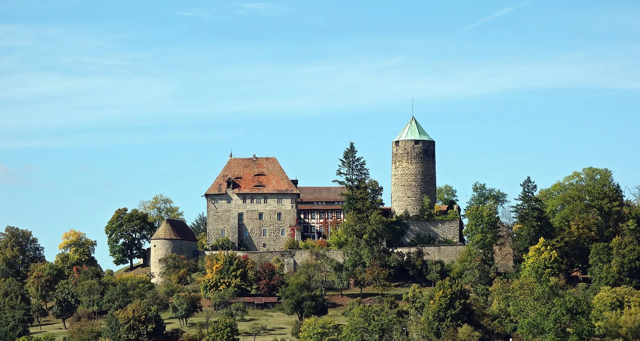
Schloßberg498 mPeakSchloßberg is a historic castle ruin with fascinating architecture and scenic surroundings.
66 km
66 km
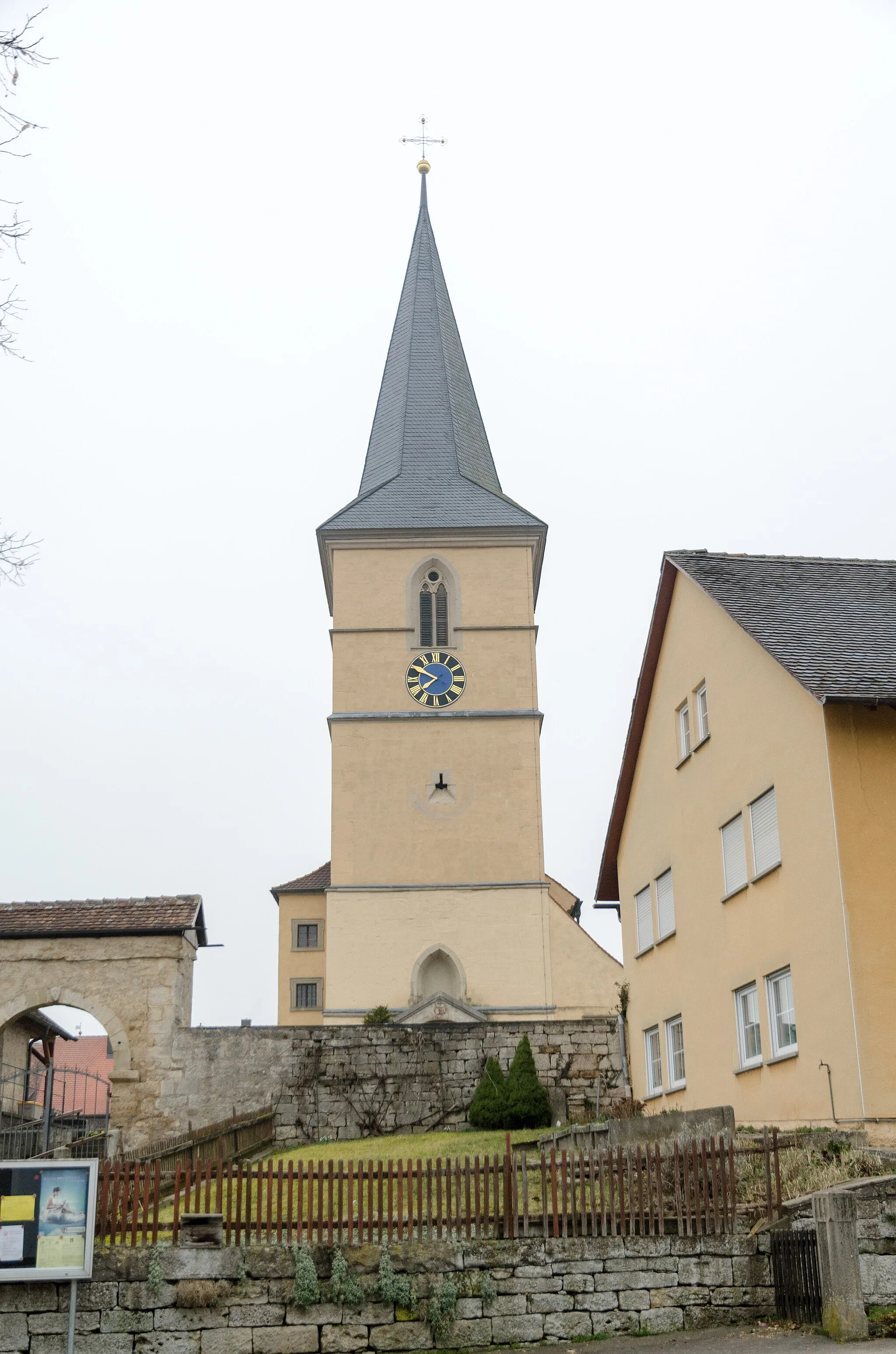
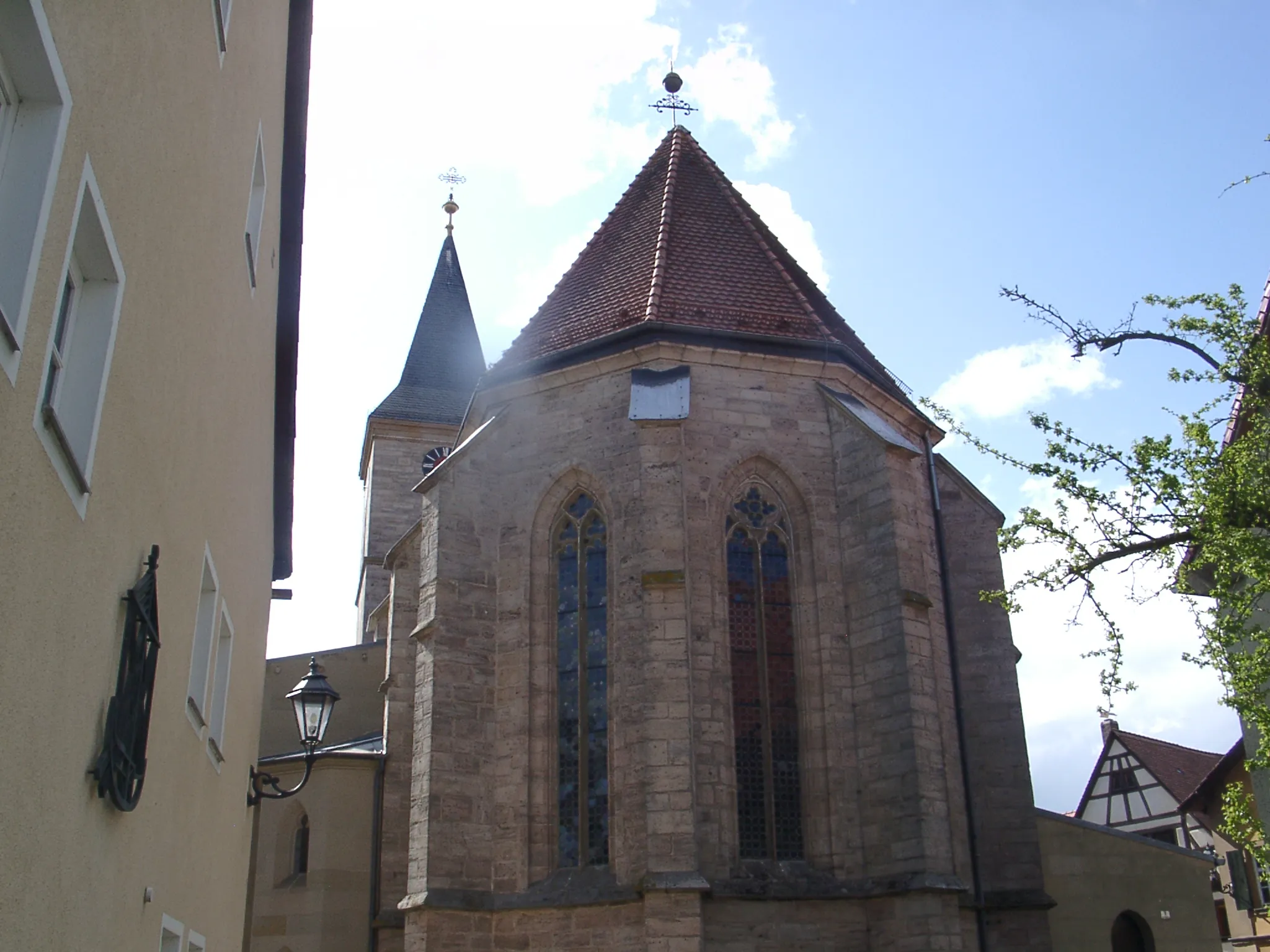
NeusitzVillageNeusitz, the endpoint of the route, boasts a beautiful baroque church and a tranquil atmosphere.
66 km
66 km
Finish: Neusitz Village centerNeusitz: Scenic routes and challenging climbs await cyclists in Neusitz.
Cycling routes from Neusitz:
Cycling routes nearby: