Habelsee Adventure
A road cycling route starting from Neusitz
Embark on an epic cycling adventure through picturesque landscapes and charming villages.
Map
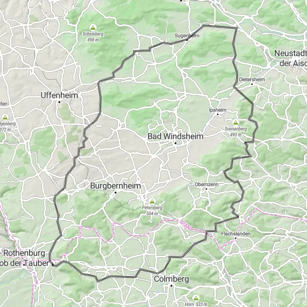
For those seeking an unforgettable cycling experience, the Habelsee Adventure is the perfect choice. With a distance of 104 kilometers and an ascent of 918 meters, this road cycling route offers a challenging yet rewarding journey. Traverse through breathtaking landscapes, visit enchanting villages, and discover hidden gems along the way. This route is ideal for experienced cyclists looking for an epic adventure in Mittelfranken.
road
104 km
918 m
Tough
Route profile
Highlights on the route
0 km
0 km
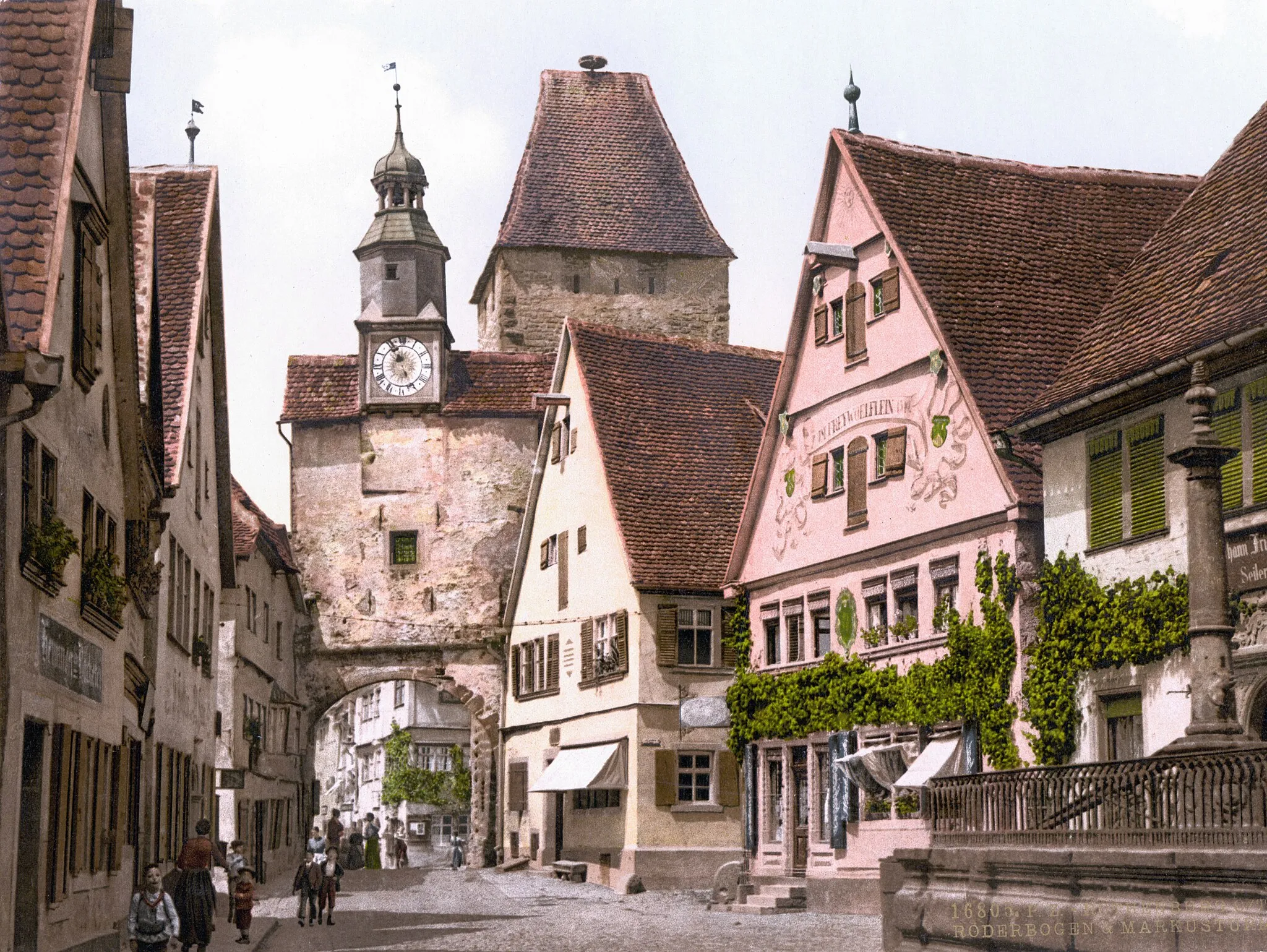
Start: Neusitz Village centerNeusitz: Scenic routes and challenging climbs await cyclists in Neusitz.
Neusitz is a region located in Mittelfranken, Germany. Neusitz is a great locality for road and gravel cyclists, with numerous cycling routes available that offer stunning views and challenging climbs. Nearby, cyclists can find well-known climbs such as the Franconian Heights, which attracts both competitive riders and tourists. Overall, Neusitz is a popular destination for cycling enthusiasts looking for scenic routes and challenging climbs.12 km
12 km
HabelseeVillageHabelsee, a serene lake along the route, provides a perfect spot for a refreshing break.
13 km
13 km
Gänsbuck396 mPeakGänsbuck offers stunning views of the rolling hills and lush green meadows that characterize the region.
34 km
34 km
Ameisenbühl334 mPeakAmeisenbühl, known for its panoramic vistas, will take your breath away with its natural beauty.
38 km
38 km
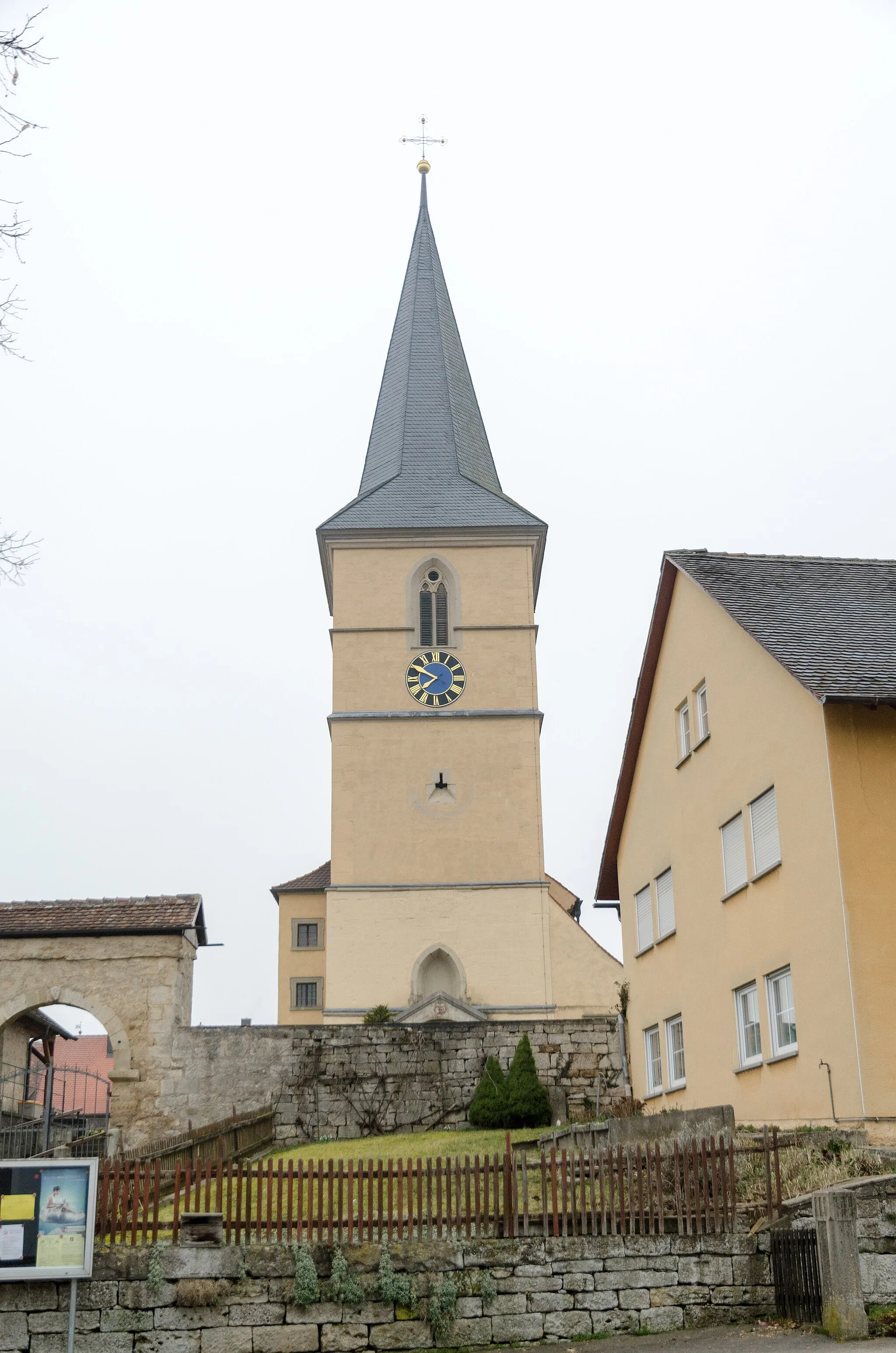
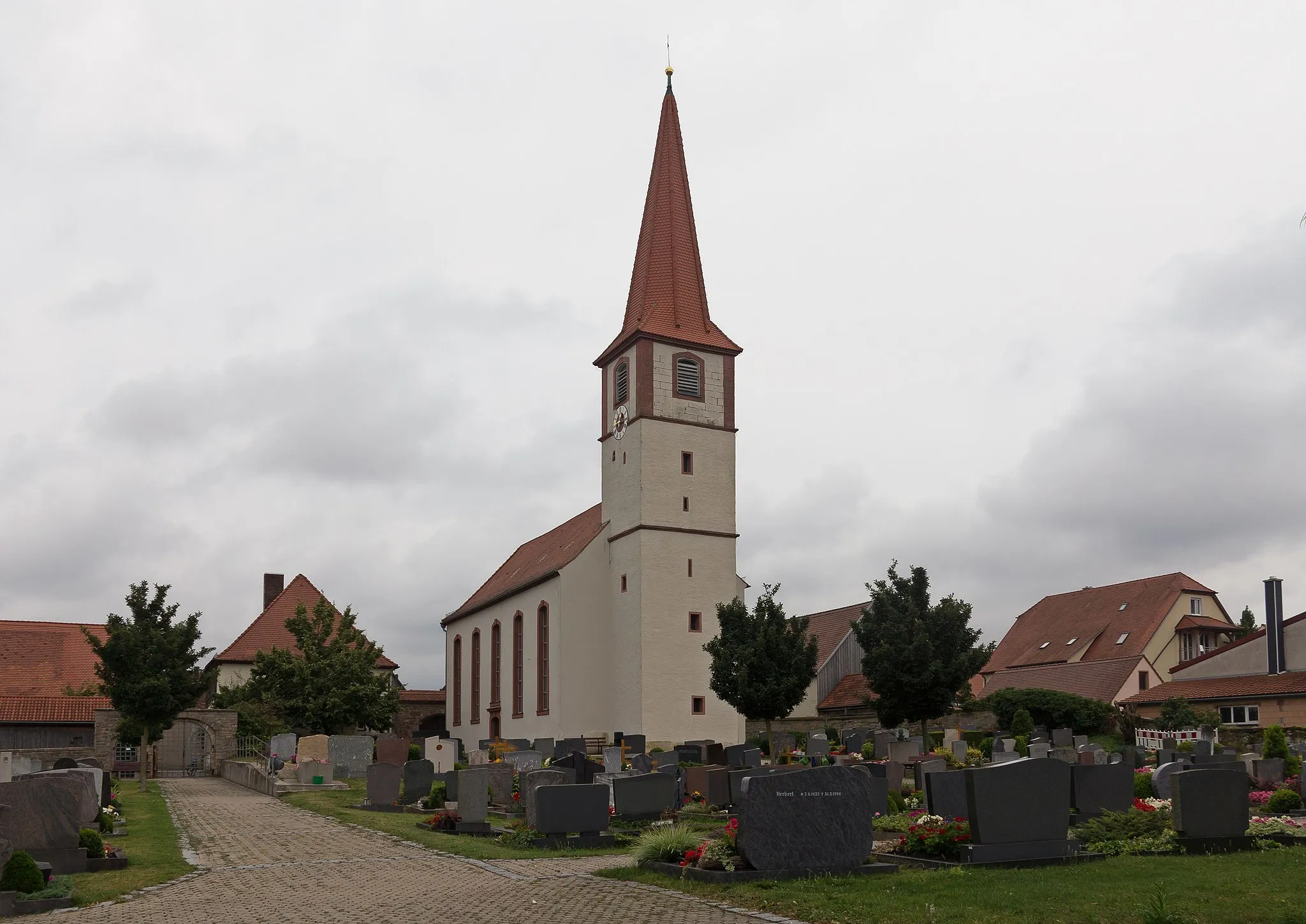
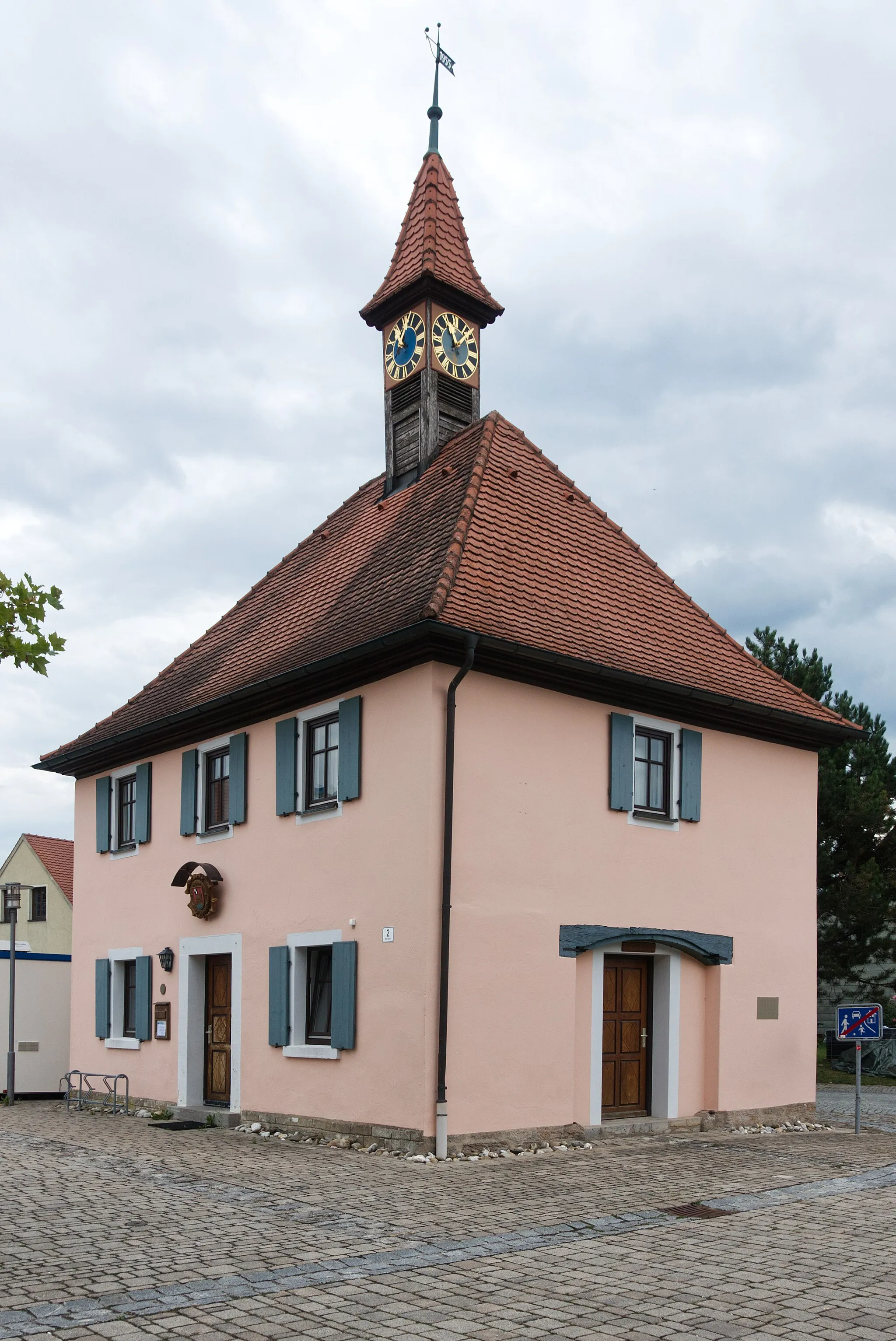
SugenheimVillageSugenheim, a charming village, is worth exploring for its historical architecture and serene atmosphere.
49 km
49 km
UnternesselbachVillageUnternesselbach is a highlight along the route, offering a picturesque setting with traditional Franconian charm.
50 km
50 km
Zogelsberg343 mPeakZogelsberg, a small village surrounded by vineyards, provides a relaxing and scenic stop for cyclists.
67 km
67 km
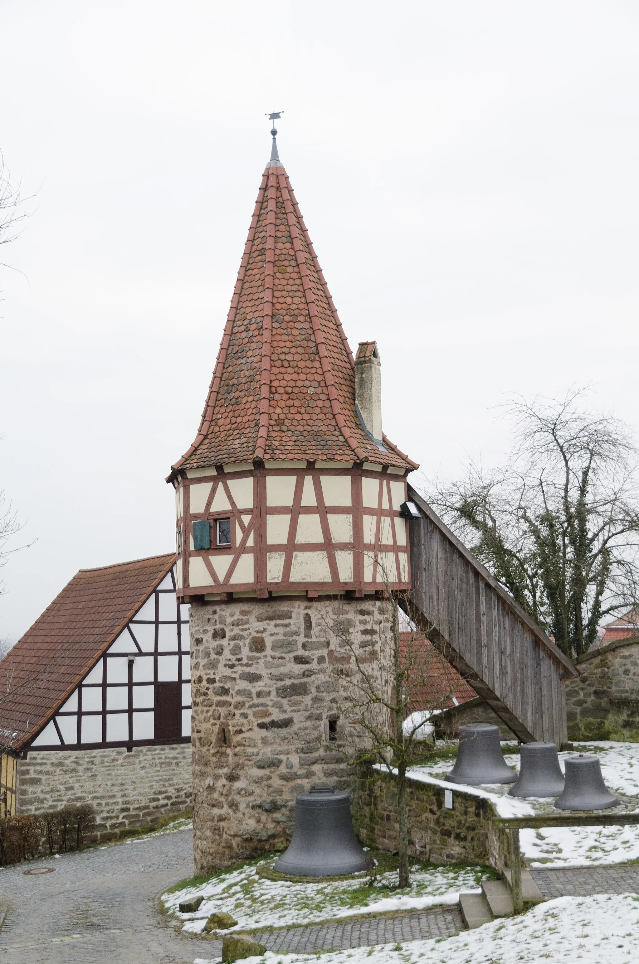
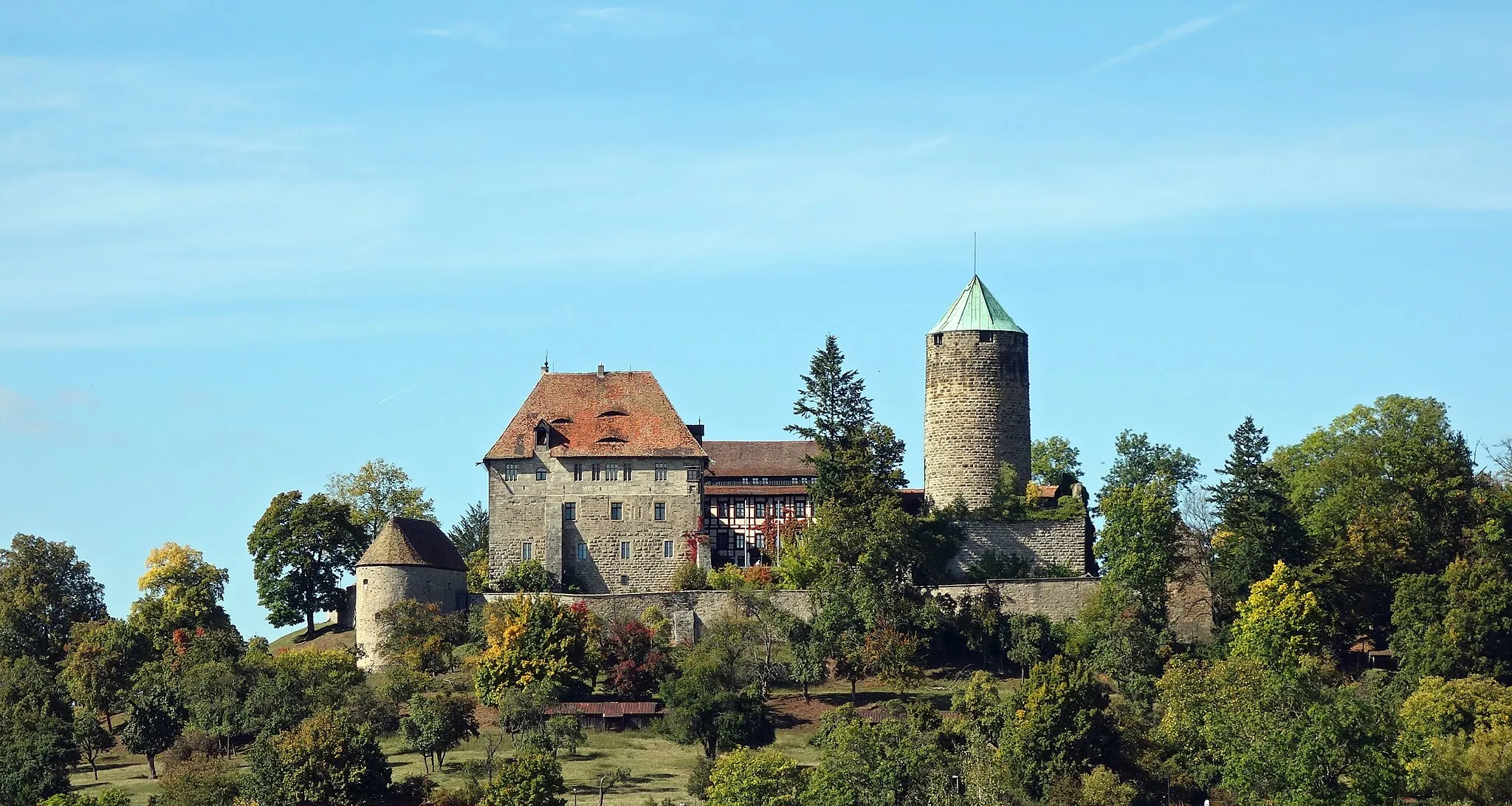
Horn440 mPeakHorn, a hidden gem with its medieval castle, offers a glimpse into the region's rich history.
72 km
72 km
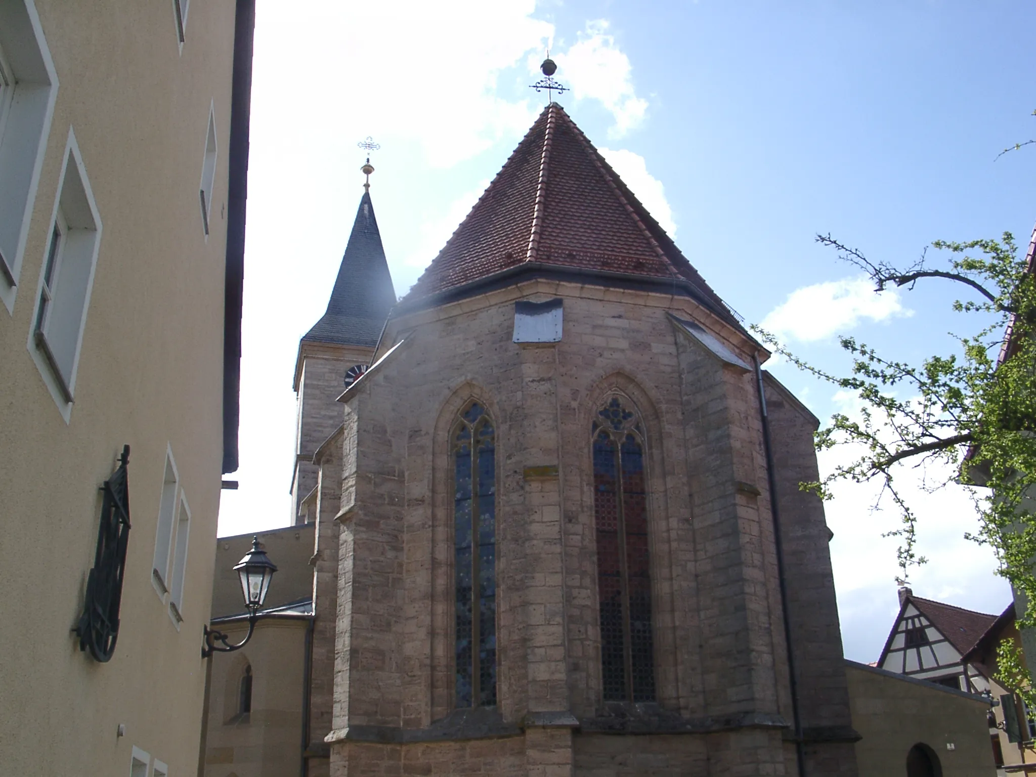
SondernoheVillageSondernohe, a charming village, captivates visitors with its well-preserved half-timbered houses.
96 km
96 km
Donnersberg464 mPeakDonnersberg, with its ancient ruins, provides a majestic backdrop for this epic cycling adventure.
96 km
96 km
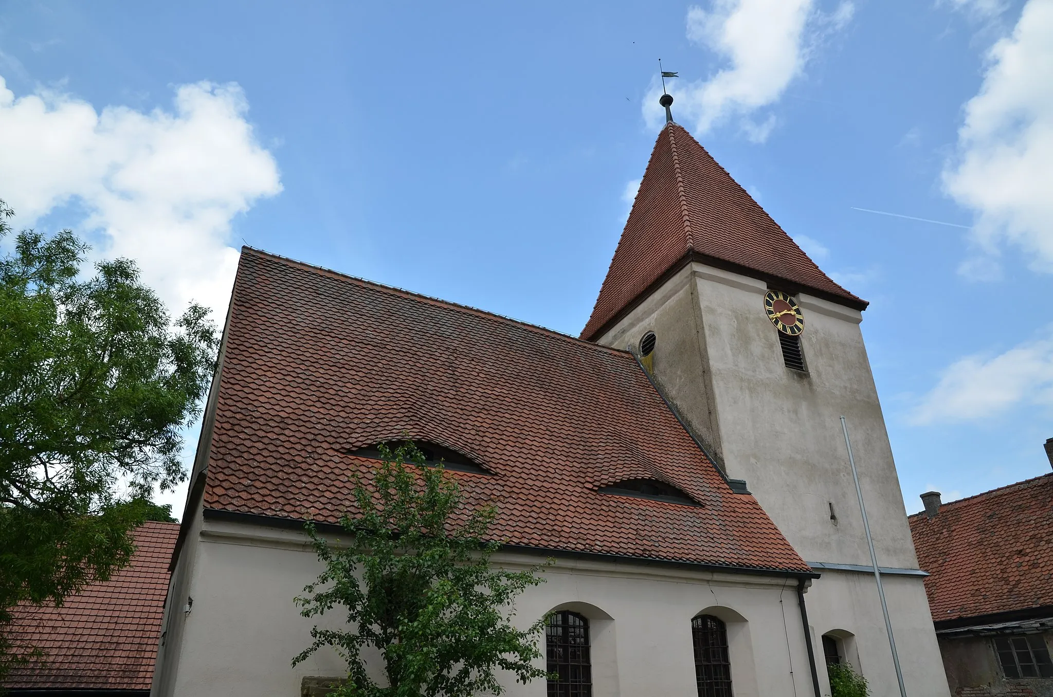
GeslauVillageGeslau boasts captivating landscapes and a unique blend of historical and natural attractions.
103 km
103 km
Schloßberg498 mPeakSchloßberg, a medieval castle ruin, offers panoramic views and a fascinating glimpse into the past.
104 km
104 km
Finish: Neusitz Village centerNeusitz: Scenic routes and challenging climbs await cyclists in Neusitz.
Cycling routes from Neusitz:
Cycling routes nearby: