Immersing in nature's wonders while cycling through Marktbergel
Cycling routes from Marktbergel
Marktbergel, located in Mittelfranken, Germany, is a fantastic destination for road and gravel cyclists looking to explore the region's natural beauty. The area offers a variety of scenic routes through rolling hills, forests, and charming Bavarian villages. One of the famous climbs nearby is the Altmühltal Panorama Road, which provides cyclists with breathtaking views of the Altmühl Valley. Marktbergel is also home to the well-known Franconian Heights Cycle Path, offering diverse terrain and picturesque landscapes. With its combination of natural beauty and well-designed cycling routes, Marktbergel is a great base for cyclists wanting to experience the best of Mittelfranken.

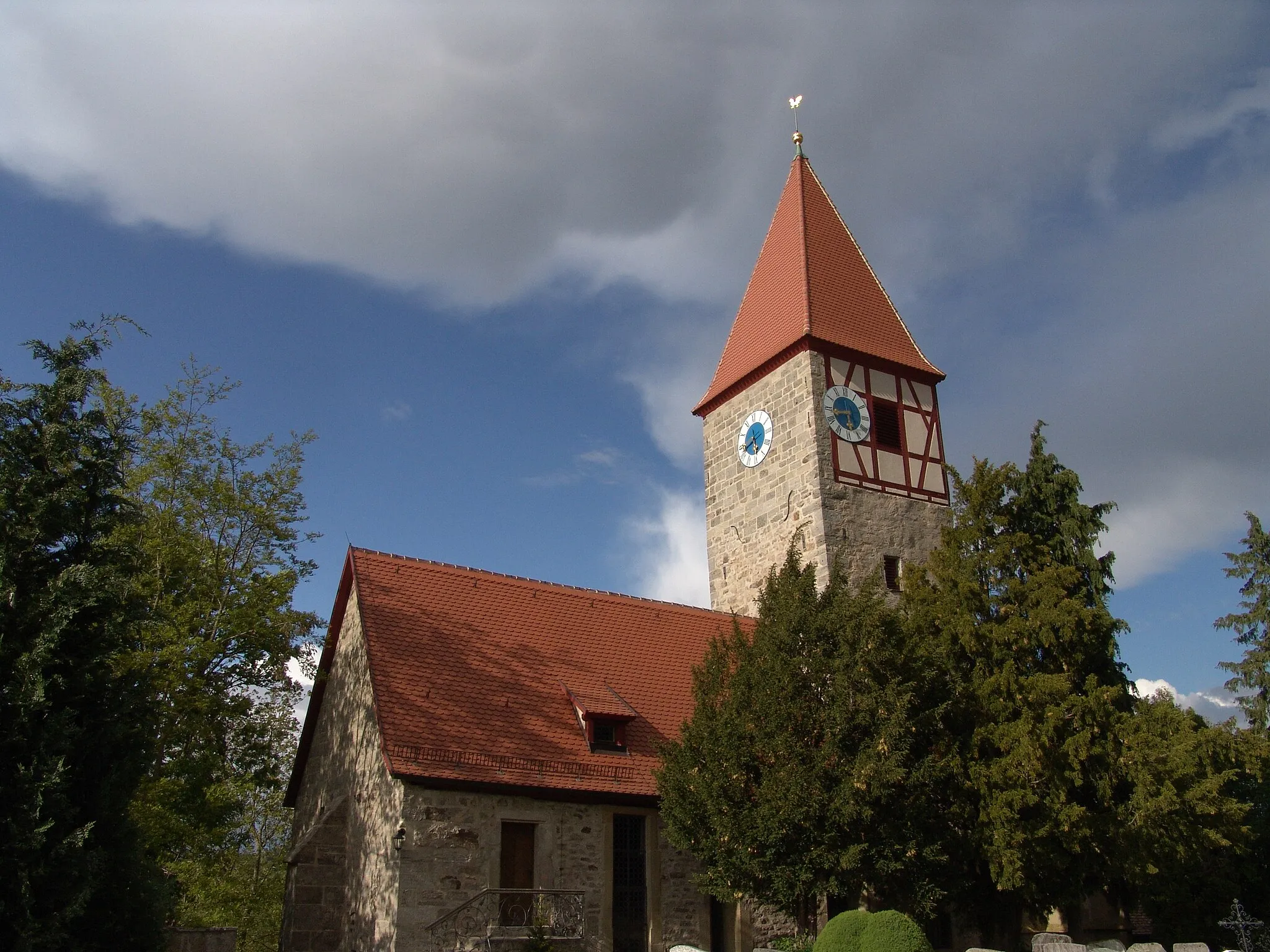
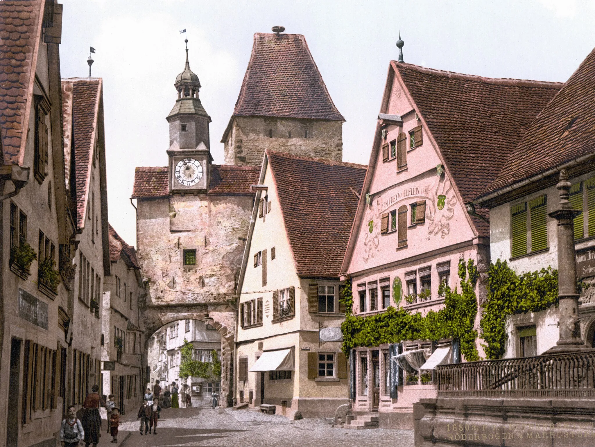
Explore the charming town of Rothenburg ob der Tauber
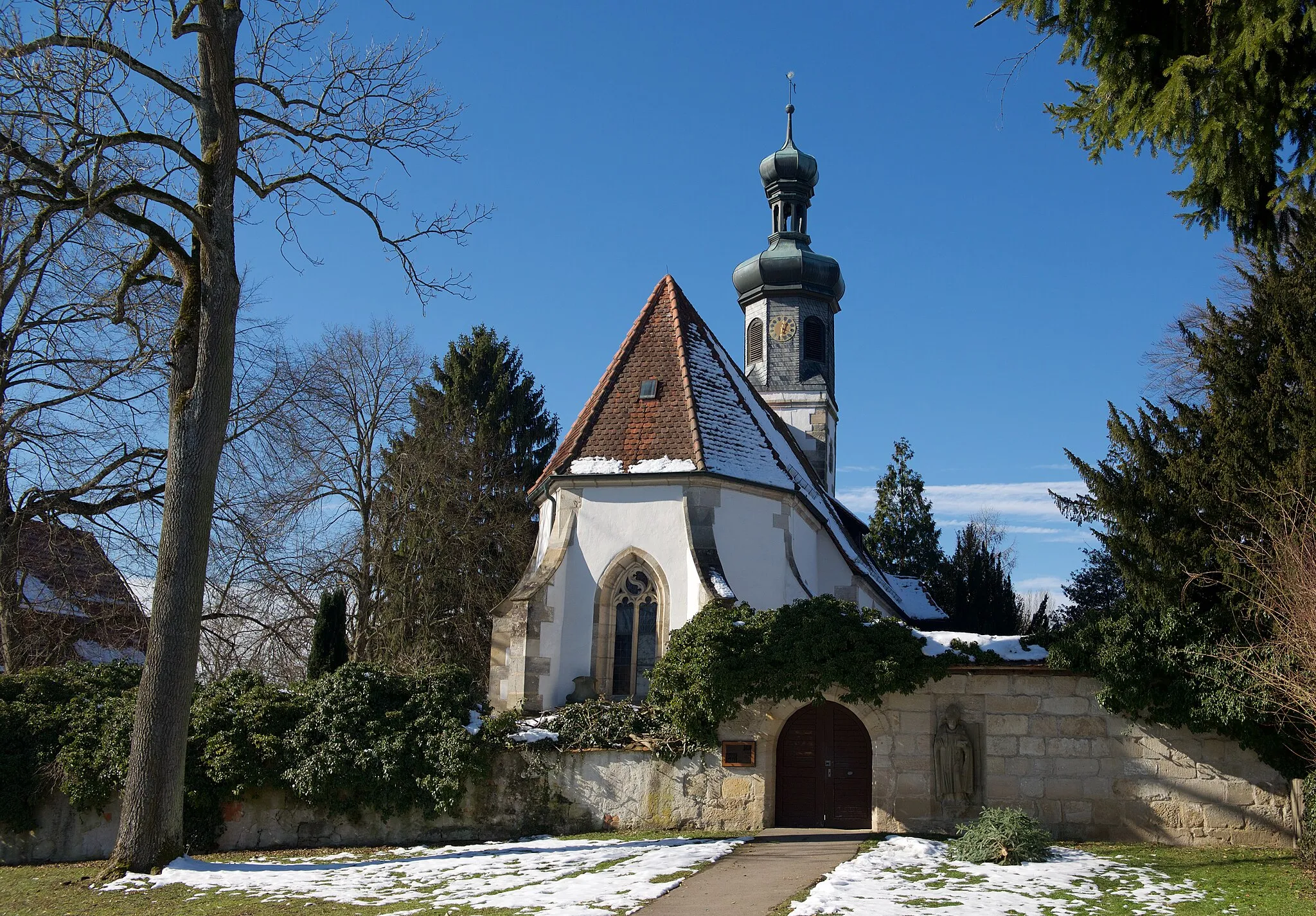
Cycle through picturesque landscapes and charming villages on this gravel route starting near Marktbergel. Ascend up to 606m and cover a distance of 51km. The route takes you past highlights such as the Ernstberg and Galgenberg. However, the highlight not to be missed is Rothenburg ob der Tauber, with its well-preserved medieval old town and stunning views from the city walls. The route offers a moderate difficulty level suitable for amateur cyclists.
Hohe Steig Route
Explore the scenic Hohe Steig route with its picturesque landscapes.
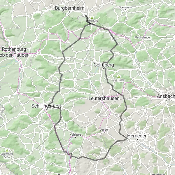
The Hohe Steig route is a 85-kilometer road cycling route starting near Marktbergel. It offers a pleasant ride through beautiful landscapes with some challenging ascents. With a difficulty score of 4, it is suitable for well-trained amateur cyclists. The epicness score is 3, as it provides a moderately exciting cycling experience. Along the route, you will pass through the charming towns of Colmberg, Elbersroth, and Dombühl. Don't miss the opportunity to visit the historic Klosterberg and enjoy the scenic views from Büttelberg. Overall, the Hohe Steig route is a delightful cycling adventure for those seeking a mix of nature and culture.
Exploring the Gravel Paths

An exhilarating journey through the gravel paths of Marktbergel
Embark on an exciting cycling adventure through the charming countryside of Marktbergel. This circular route takes you on a well-maintained mixture of road and gravel paths, providing diverse terrain for a thrilling ride. With a total distance of 55 km and an ascent of 380 meters, this route offers a satisfying challenge for moderately experienced cyclists. Be prepared to encounter picturesque villages, scenic landscapes, and historic landmarks along the way.

Cycle through the scenic landscapes of Franconia
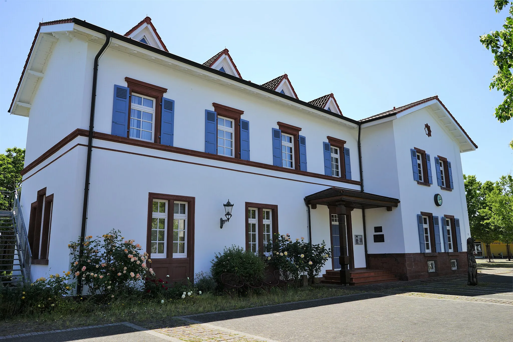
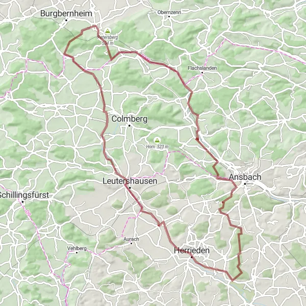
Embark on this road cycling route starting near Marktbergel and witness the beauty of the Franconia region. With an ascent of 606m and a distance of 87km, this challenging route is best suited for well-trained amateur cyclists. Highlights along the way include the Weinberg and the picturesque town of Neustadt an der Aisch. Weinberg offers stunning views of the vineyards and rolling hills of Franconia. Neustadt an der Aisch, located on the banks of the Aisch River, is known for its rich history and impressive architecture. Overall, this route promises scenic landscapes and cultural experiences, making it a must-ride for cycling enthusiasts.
Escape to tranquility through the serene landscapes from Mideltal to Eichbuck.
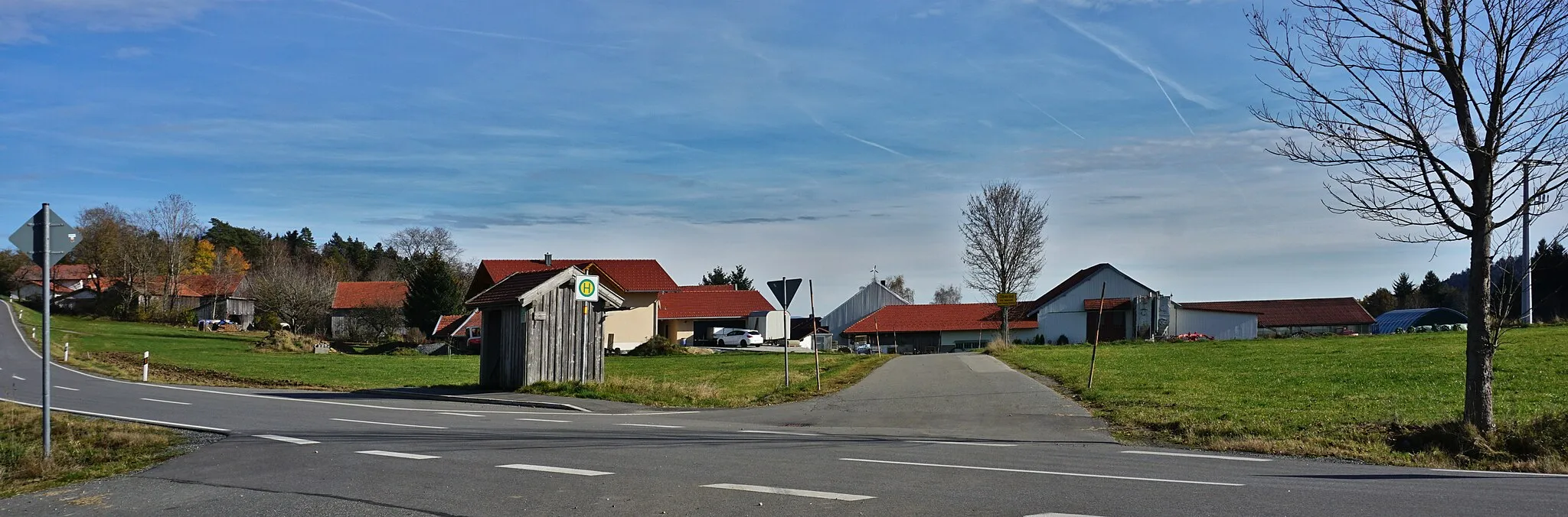
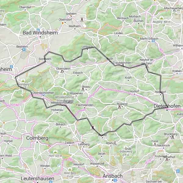
The Tranquil Gravel Escape is an 83-kilometer cycling route starting near Marktbergel. With a relatively moderate ascent of 488 meters, this route is suitable for cyclists of all skill levels. The difficulty score is 2, reflecting the overall flatness of the terrain and the peaceful surroundings. The epicness score is outshined by its calming and scenic landscapes. Highlights on this route include Mitteldachstetten, a charming village offering a glimpse into rural life; Wasserzell, known for its beautiful surrounding nature; and Bocksberg, where you can enjoy panoramic views of the rolling hills. This route allows you to escape the hectic pace of everyday life and immerse yourself in the tranquility of nature.
Discover the hidden gems of Petersberg and Trautskirchen
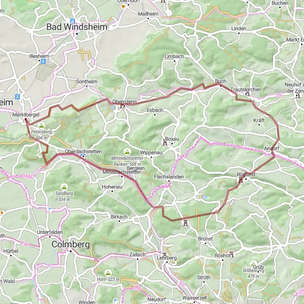
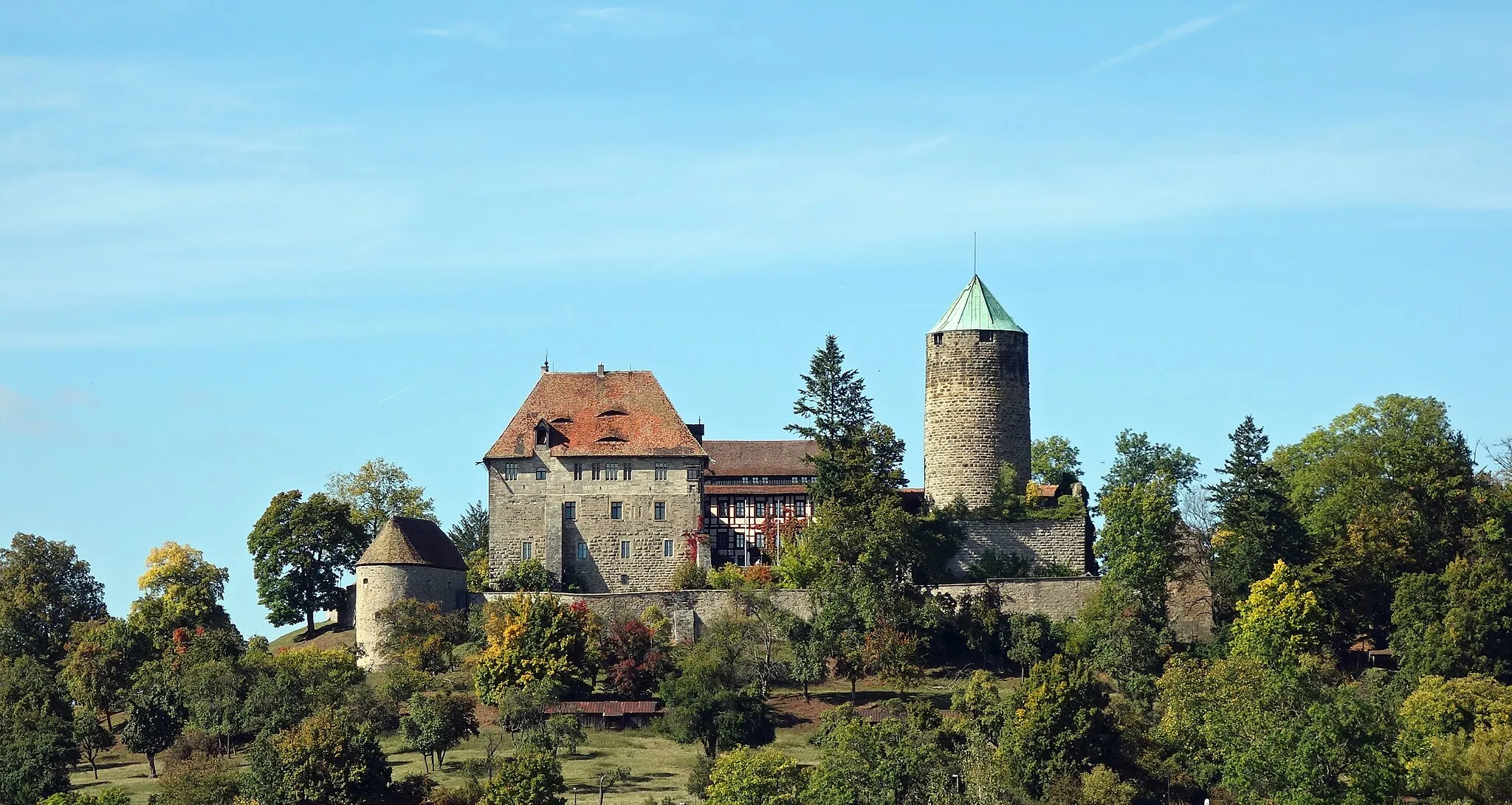
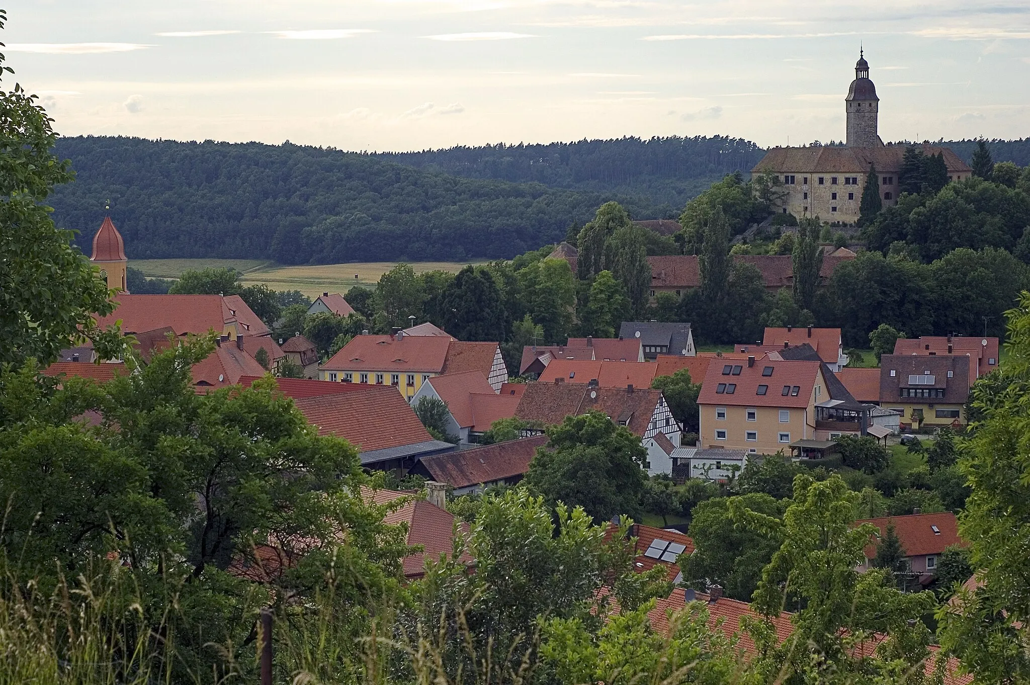
Embark on a gravel ride starting near Marktbergel and explore the beautiful Franconian countryside. Covering a distance of 56km with an ascent of 550m, this route offers a moderate difficulty level suitable for amateur cyclists. Highlights along the route include the charming Petersberg and the historic village of Trautskirchen. Petersberg offers stunning views of the surrounding landscapes and is a perfect spot to take a short break. Trautskirchen boasts impressive medieval architecture and is home to historic landmarks such as Trautskirchen Castle. Overall, this route provides an opportunity to discover the lesser-known treasures of Mittelfranken.
Embark on a scenic rural road adventure from Uffenheim to Illesheim.
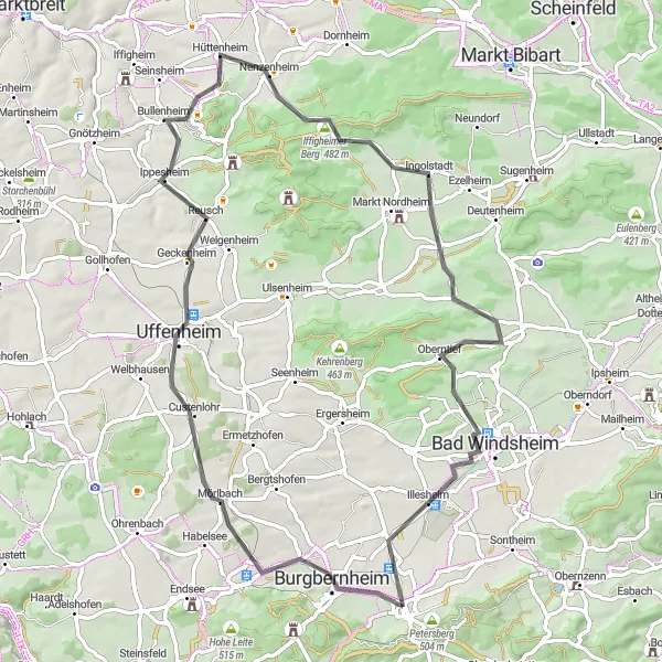
The Rural Road Adventure is a 70-kilometer road cycling route starting near Marktbergel. With a moderate ascent of 586 meters, this route is suitable for well-trained amateur cyclists. The difficulty score is 3, reflecting the undulating terrain and occasional climbs. The epicness score is 3 as well, offering scenic views and rural beauty. Along the way, you will encounter highlights such as Gallmersgarten, renowned for its charming village atmosphere, and Tannenberg, where you can enjoy panoramic views across the vast plains and forests. Krautostheim provides a picturesque riverside setting, while Rosenberg offers idyllic countryside landscapes. The route concludes in Illesheim, a small town known for its history and tranquility.

Embark on a gravel adventure exploring vineyards and reaching the scenic peak of Felberg.
This 92-kilometer gravel cycling route starting near Marktbergel takes you through diverse landscapes, from picturesque vineyards to challenging ascents towards Felberg. With an ascent of 772 meters and a distance of 92 kilometers, this route is suitable for well-trained amateurs. With a difficulty score of 3 and an epicness score of 4, this route guarantees an adventurous and rewarding cycling experience. Along the way, you will encounter highlights such as Weinberg, Lenkersheim, and Marberg. Neustadt an der Aisch offers beautiful vistas while Wilhelmsdorf and Neuberg provide serene countryside views. Don't miss the opportunity to reach the summit of Felberg, which boasts panoramic views of the surrounding area.

Embark on a gravel adventure through diverse landscapes, from forests to meadows, on this challenging cycling route near Marktbergel.
If you're up for a challenging ride, this gravel cycling route near Marktbergel is perfect for you. With 1072 meters of ascent over a distance of 100 kilometers, it requires good endurance and technical skills. The route showcases the diverse landscapes of Mittelfranken, taking you through forests, meadows, and picturesque villages. Highlights along the way include Ernstberg, Vorderer Grasbühl, Schillingsfürst, Obergailnau, Gailnauer Berg, Roßkopf, Muswiese, a viewpoint overlooking the Taubertal, Rothenburg ob der Tauber, Gallmersgarten, and Himmelfahrtsberg. These highlights offer opportunities to experience the natural beauty, cultural heritage, and local traditions. Overall, this route guarantees an epic gravel adventure through the enchanting surroundings of Mittelfranken.
Ickelheim and Mitteldachstetten
Discover the charm of Ickelheim and Mitteldachstetten
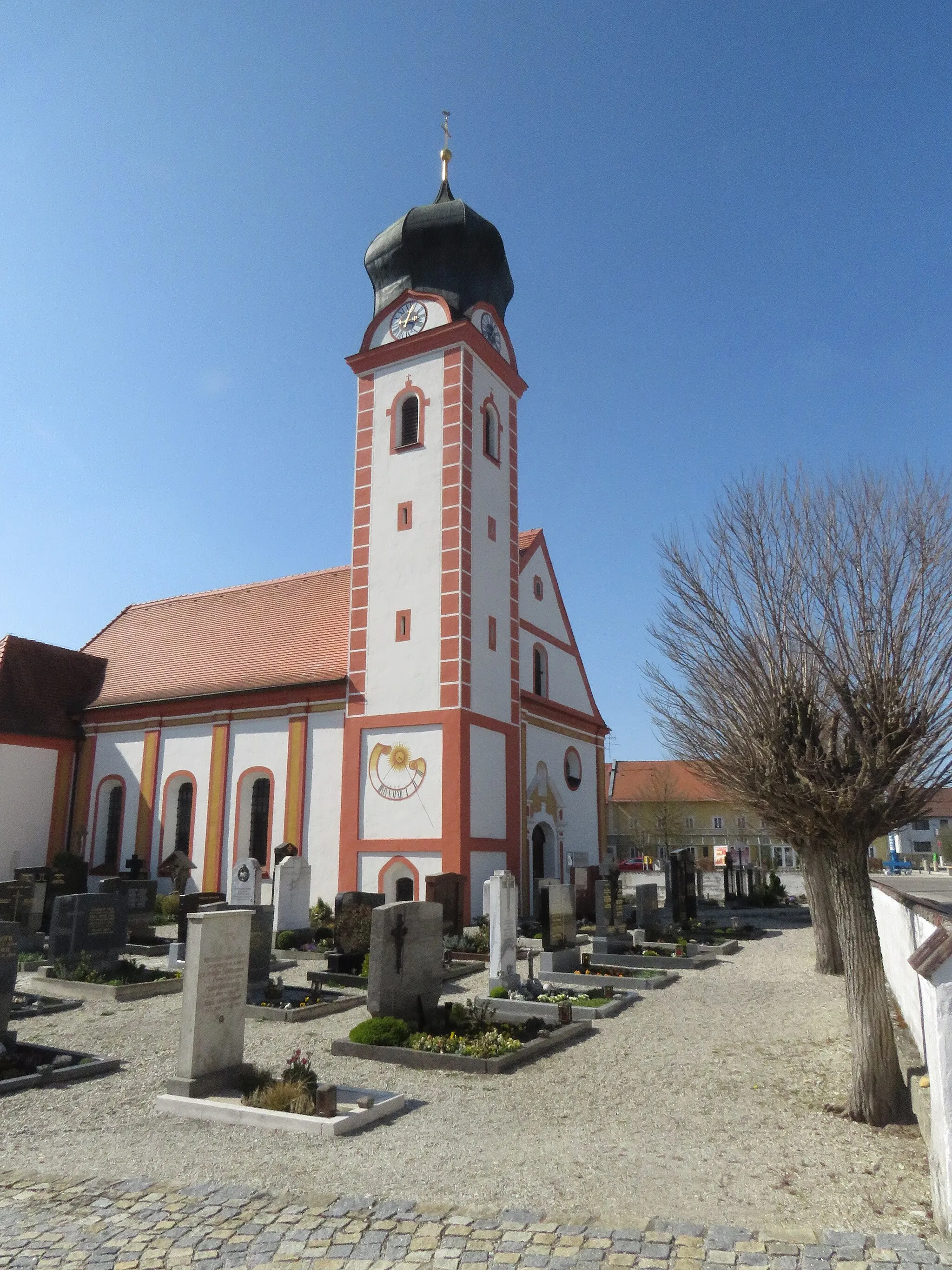
This road cycling route starting near Marktbergel allows you to explore some of the most picturesque villages in Mittelfranken. With an ascent of 664m and a distance of 67km, this route provides a moderate challenge best suited for well-trained amateur cyclists. Highlights along the way include the idyllic village of Ickelheim and the charming Mitteldachstetten. Ickelheim welcomes visitors with a tranquil village atmosphere and well-preserved half-timbered houses. Mitteldachstetten offers a relaxing break with its peaceful surroundings and lovely countryside views. Cyclists will appreciate the combination of scenic landscapes and cultural gems on this route.
Cycling routes nearby:

Nearby regions: