Tranquil Gravel Escape: From Mideltal to Eichbuck
A gravel cycling route starting from Marktbergel
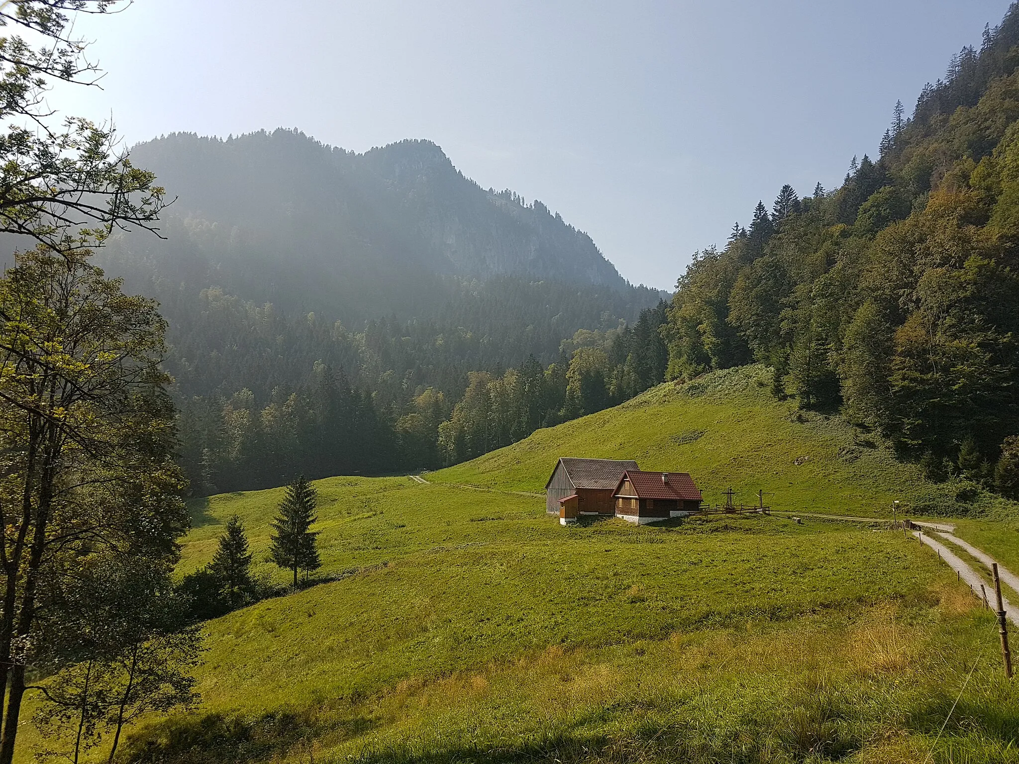
Escape to tranquility through the serene landscapes from Mideltal to Eichbuck.
Map
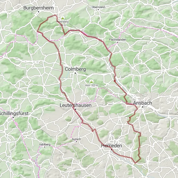
The Tranquil Gravel Escape is an 83-kilometer cycling route starting near Marktbergel. With a relatively moderate ascent of 488 meters, this route is suitable for cyclists of all skill levels. The difficulty score is 2, reflecting the overall flatness of the terrain and the peaceful surroundings. The epicness score is outshined by its calming and scenic landscapes. Highlights on this route include Mitteldachstetten, a charming village offering a glimpse into rural life; Wasserzell, known for its beautiful surrounding nature; and Bocksberg, where you can enjoy panoramic views of the rolling hills. This route allows you to escape the hectic pace of everyday life and immerse yourself in the tranquility of nature.
gravel
83 km
488 m
Chill
Route profile
Highlights on the route
0 km
0 km
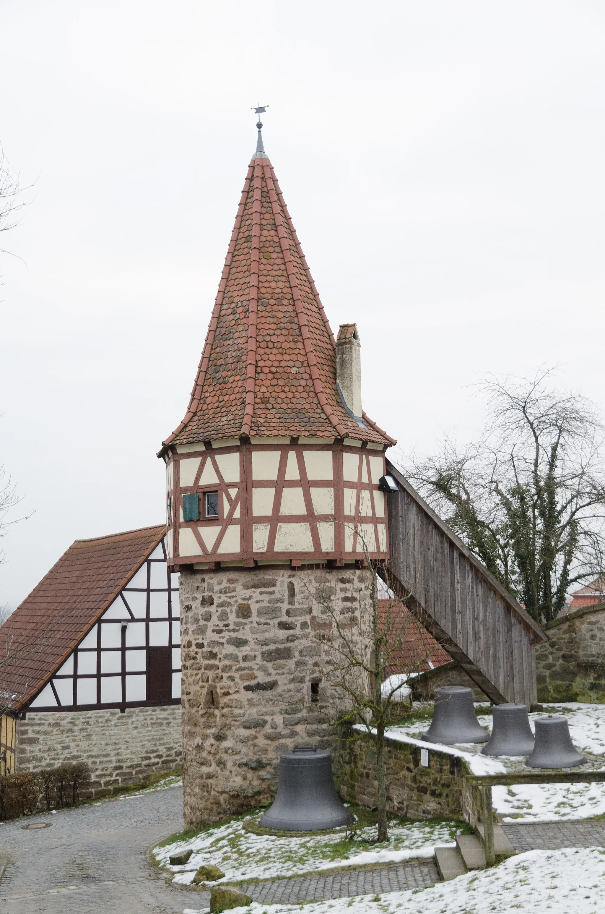
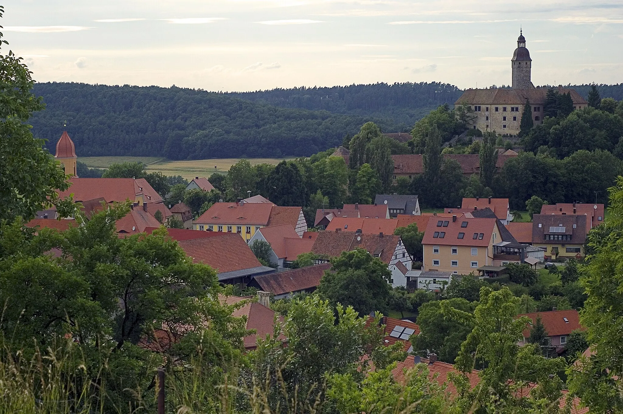
Start: Marktbergel Village centerMarktbergel: Immersing in nature's wonders while cycling through Marktbergel
Marktbergel, located in Mittelfranken, Germany, is a fantastic destination for road and gravel cyclists looking to explore the region's natural beauty. The area offers a variety of scenic routes through rolling hills, forests, and charming Bavarian villages. One of the famous climbs nearby is the Altmühltal Panorama Road, which provides cyclists with breathtaking views of the Altmühl Valley. Marktbergel is also home to the well-known Franconian Heights Cycle Path, offering diverse terrain and picturesque landscapes. With its combination of natural beauty and well-designed cycling routes, Marktbergel is a great base for cyclists wanting to experience the best of Mittelfranken.3 km
3 km
Büttelberg530 mPeakSituated at the 3-kilometer mark, Büttelberg is a scenic spot known for its beautiful vistas and peaceful atmosphere.
11 km
11 km
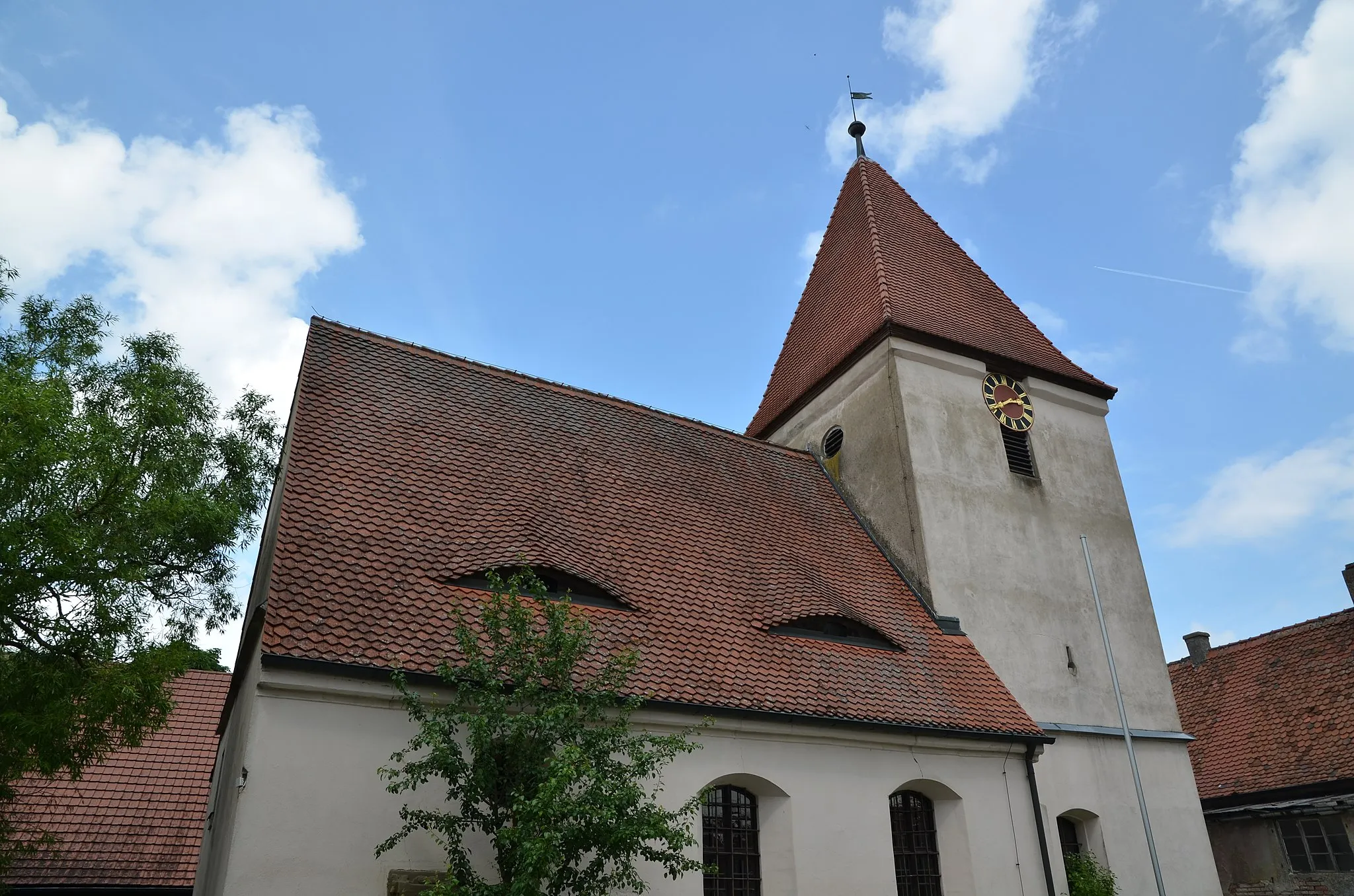
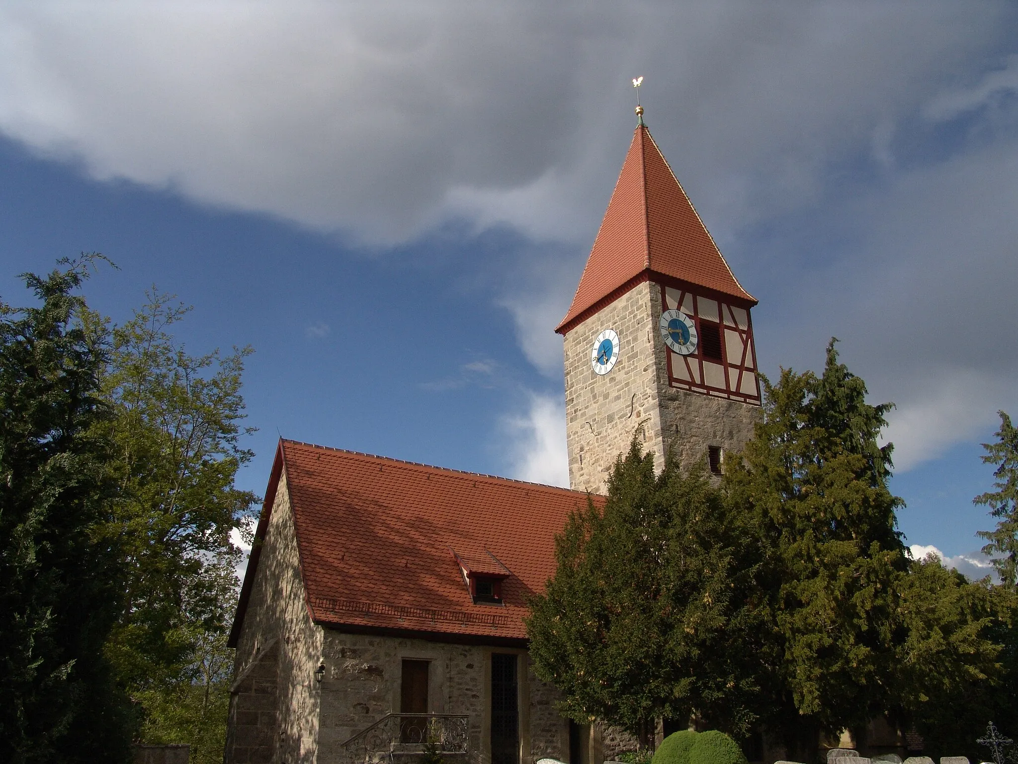
MitteldachstettenVillageMitteldachstetten offers a charming rural setting with idyllic landscapes and traditional Bavarian architecture.
24 km
24 km
WasserzellVillageWasserzell is a peaceful village surrounded by natural beauty, including rolling hills and picturesque meadows.
26 km
26 km
Bocksberg480 mPeakBocksberg provides panoramic views of the tranquil countryside, making it a perfect spot to rest and enjoy the scenery.
45 km
45 km
Schulberg429 mPeakSchulberg is a small hill that rewards cyclists with picturesque views and a sense of tranquility.
49 km
49 km
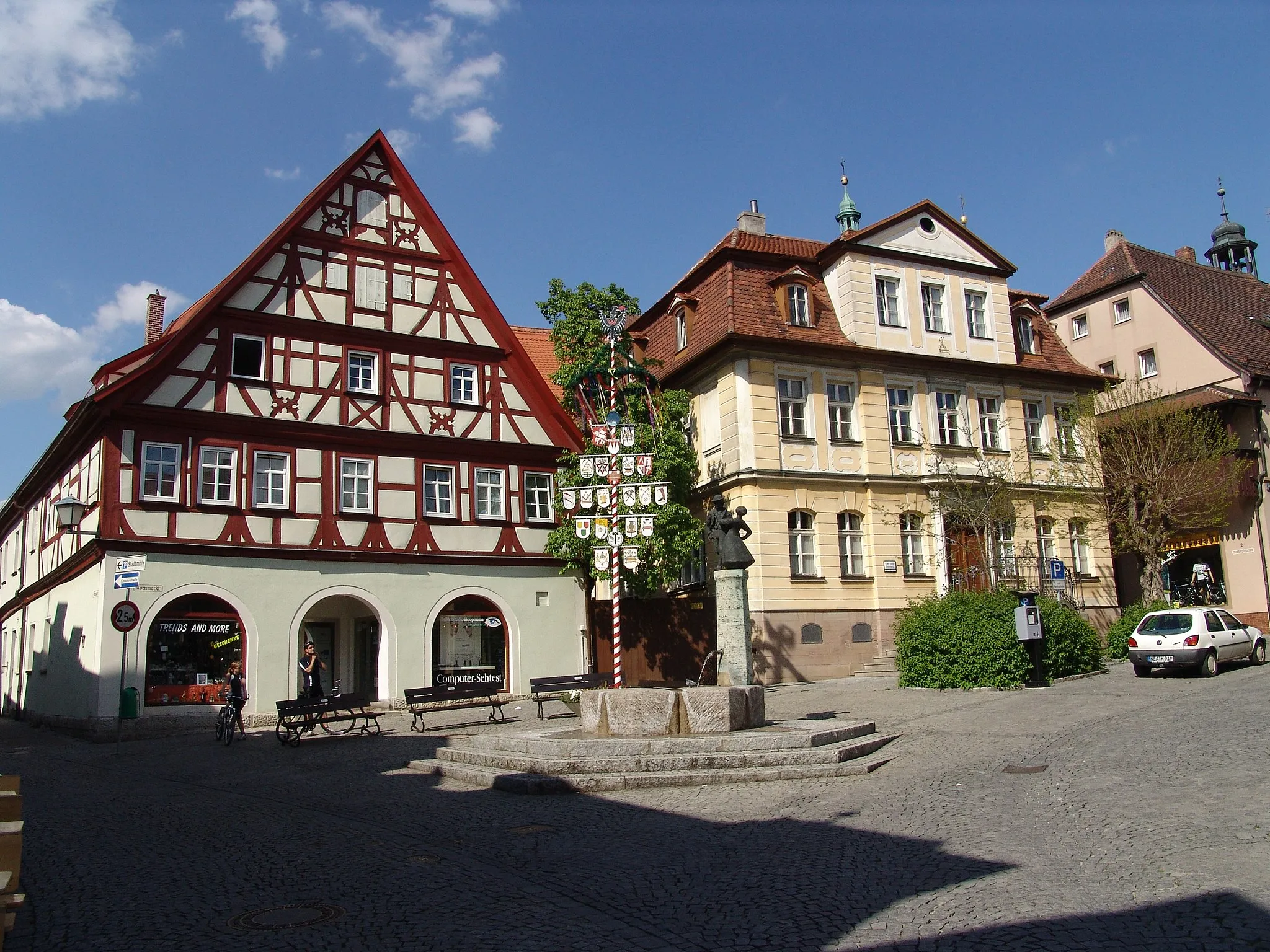
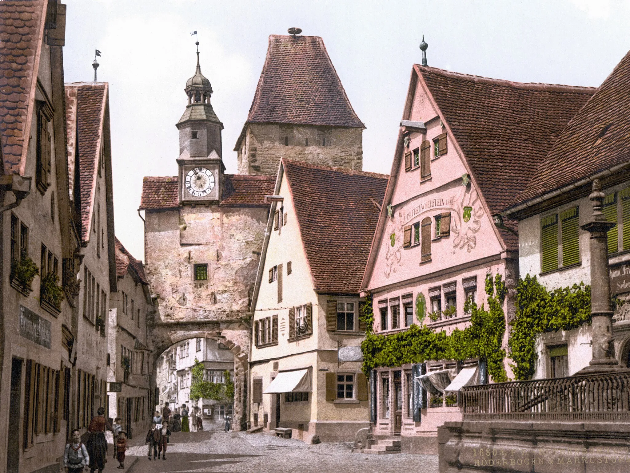
HerriedenTownHerrieden invites cyclists to explore its historic town center, which showcases traditional Franconian architecture.
61 km
61 km
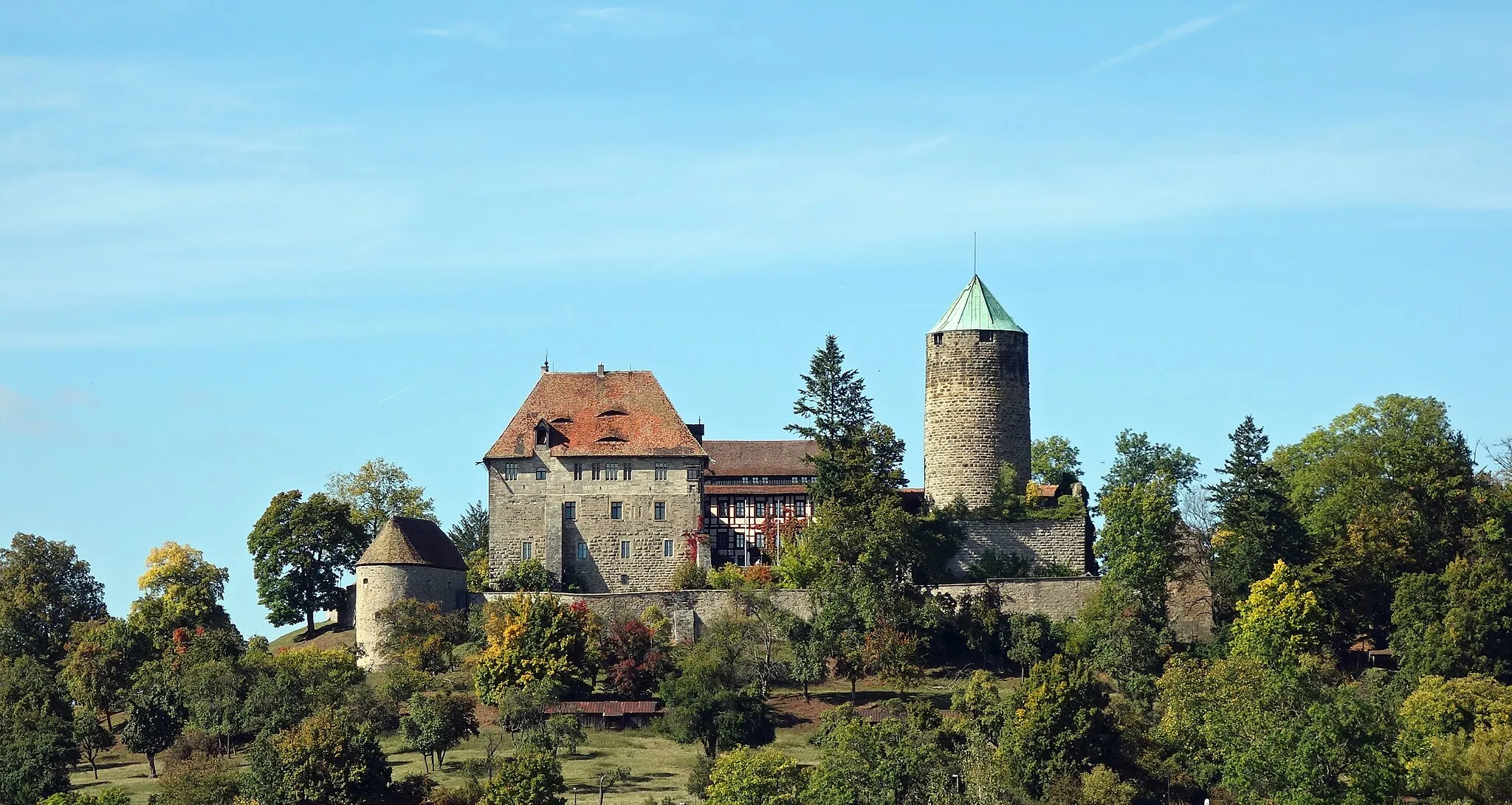
LeutershausenTownLeutershausen is a charming village and an excellent place to experience the relaxing ambiance of rural Franconia.
70 km
70 km
Wellhofhöhe443 mPeakWellhofhöhe is a small elevation that offers limited views but still adds a touch of variation to the route.
77 km
77 km
PreuntsfeldenVillagePreuntsfelden is a tranquil village surrounded by rural beauty, featuring traditional houses and wide-open spaces.
79 km
79 km
Eichbuck509 mPeakEichbuck is known for its idyllic setting and offers cyclists the chance to enjoy the peaceful silence of nature.
83 km
83 km
Finish: Marktbergel Village centerMarktbergel: Immersing in nature's wonders while cycling through Marktbergel
Cycling routes from Marktbergel:
Petersberg and Trautskirchen Ernstberg and Rothenburg Hohe Steig Route Ickelheim and Mitteldachstetten Tranquil Gravel Escape: From Mideltal to Eichbuck Gravel adventure through diverse landscapes Weinberg and Neustadt an der Aisch Hilly landscapes and charming villages Gravel Adventure: From Vineyards to Felberg Rural Road Adventure: Uffenheim to Illesheim Exploring the Gravel Paths
Cycling routes nearby: