Ickelheim and Mitteldachstetten
A road cycling route starting from Marktbergel
Discover the charm of Ickelheim and Mitteldachstetten
Map
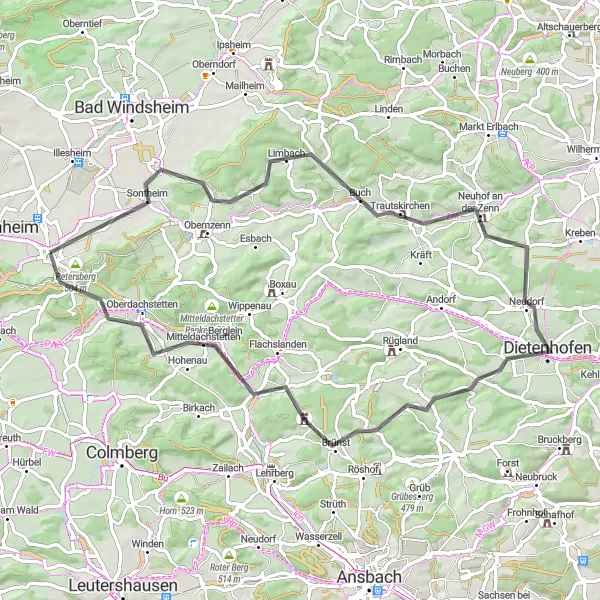
This road cycling route starting near Marktbergel allows you to explore some of the most picturesque villages in Mittelfranken. With an ascent of 664m and a distance of 67km, this route provides a moderate challenge best suited for well-trained amateur cyclists. Highlights along the way include the idyllic village of Ickelheim and the charming Mitteldachstetten. Ickelheim welcomes visitors with a tranquil village atmosphere and well-preserved half-timbered houses. Mitteldachstetten offers a relaxing break with its peaceful surroundings and lovely countryside views. Cyclists will appreciate the combination of scenic landscapes and cultural gems on this route.
road
67 km
664 m
Tough
Route profile
Highlights on the route
0 km
0 km
Start: Marktbergel Village centerMarktbergel: Immersing in nature's wonders while cycling through Marktbergel
Marktbergel, located in Mittelfranken, Germany, is a fantastic destination for road and gravel cyclists looking to explore the region's natural beauty. The area offers a variety of scenic routes through rolling hills, forests, and charming Bavarian villages. One of the famous climbs nearby is the Altmühltal Panorama Road, which provides cyclists with breathtaking views of the Altmühl Valley. Marktbergel is also home to the well-known Franconian Heights Cycle Path, offering diverse terrain and picturesque landscapes. With its combination of natural beauty and well-designed cycling routes, Marktbergel is a great base for cyclists wanting to experience the best of Mittelfranken.7 km
7 km
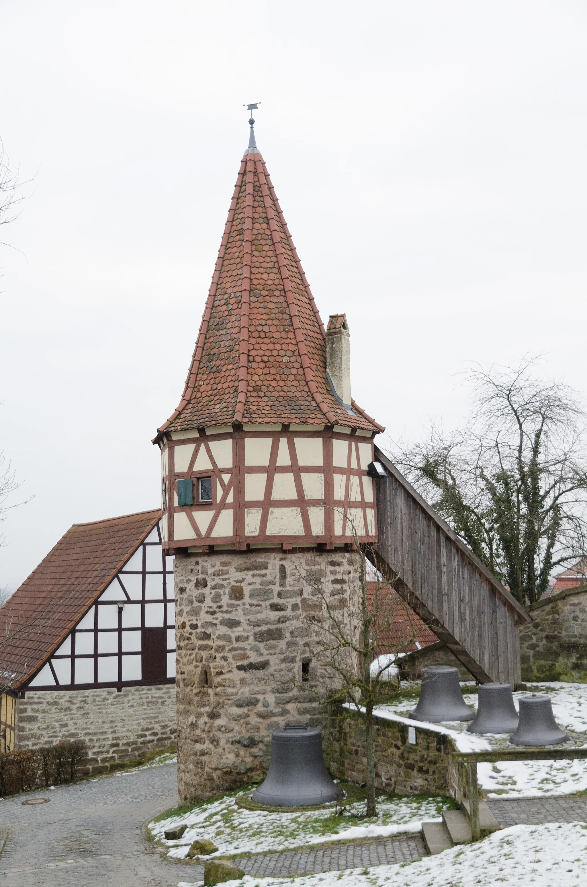
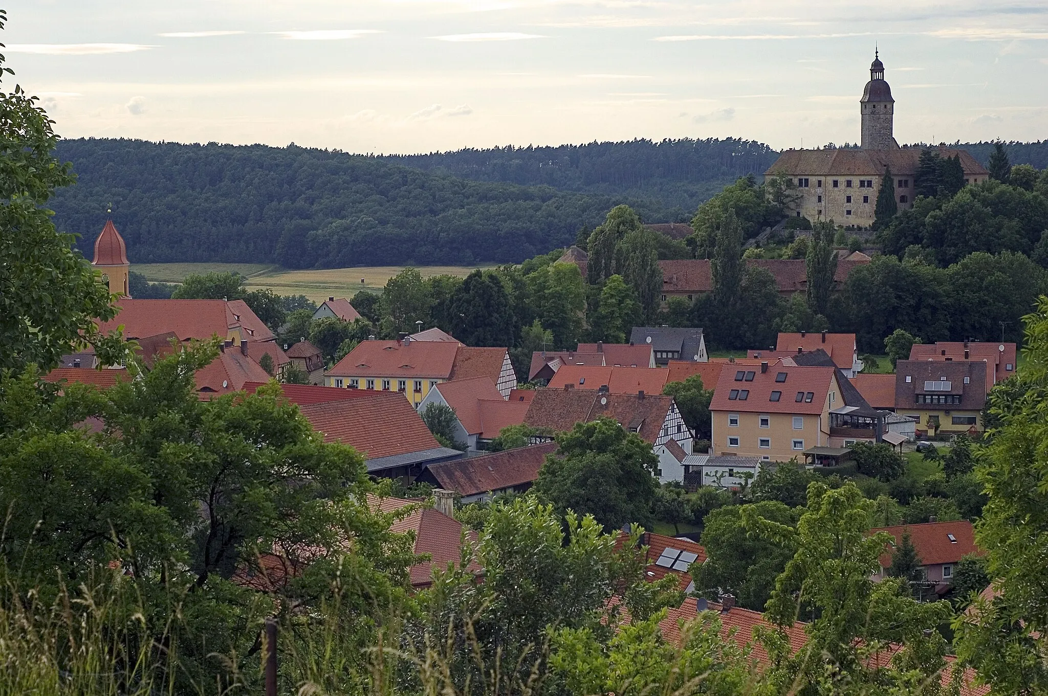
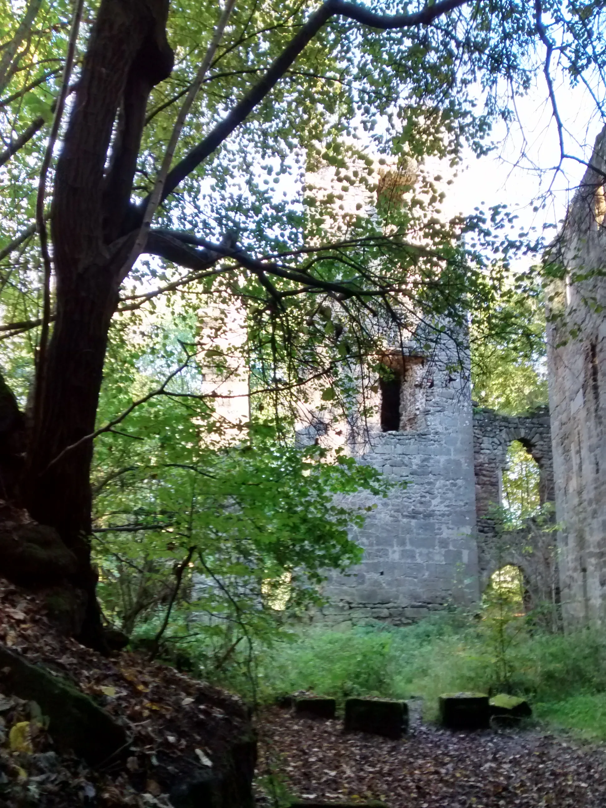
IckelheimVillageIckelheim is a charming village with well-preserved half-timbered houses. Take a break and soak in the local charm.
13 km
13 km
Horn440 mPeakHorn is surrounded by rolling hills and picturesque vineyards. Pause and enjoy the scenic beauty before continuing your journey.
22 km
22 km
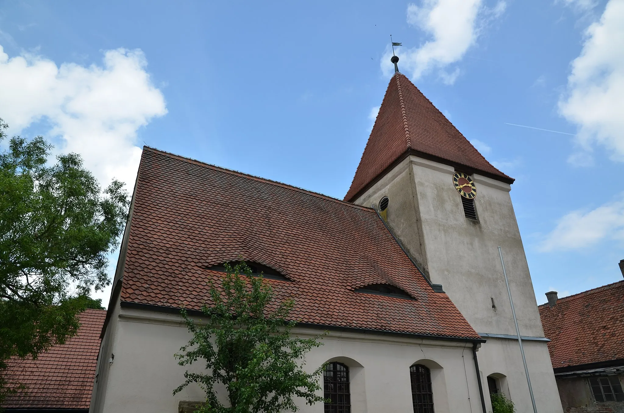
TrautskirchenVillageTrautskirchen is a historic village with medieval architecture. Discover its hidden gems while cycling through the area.
26 km
26 km
Kolmberg411 mPeakKolmberg is known for its stunning views of the Franconian countryside. Take a moment to appreciate the natural beauty.
36 km
36 km
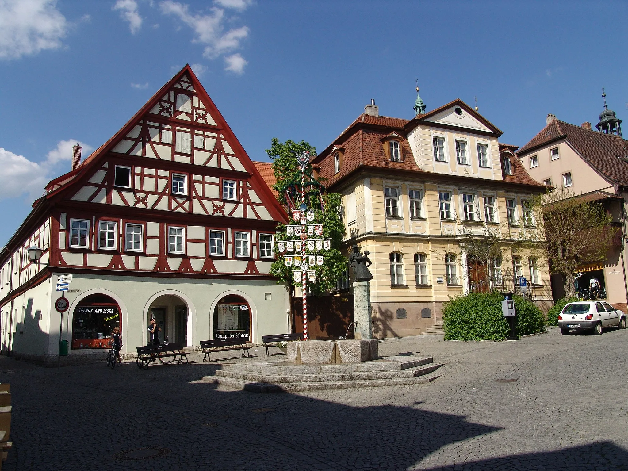
LeonrodVillageLeonrod is a charming village with historic buildings. Explore the local heritage and immerse yourself in its history.
38 km
38 km
Höfner Berg413 mPeakHöfner Berg offers picturesque views of the surrounding landscapes. Pause and enjoy the scenic beauty of Franconia.
56 km
56 km
Adelberg447 mPeakAdelberg is a beautiful natural area with scenic hiking trails. Take a break and explore the stunning surroundings on foot.
56 km
56 km
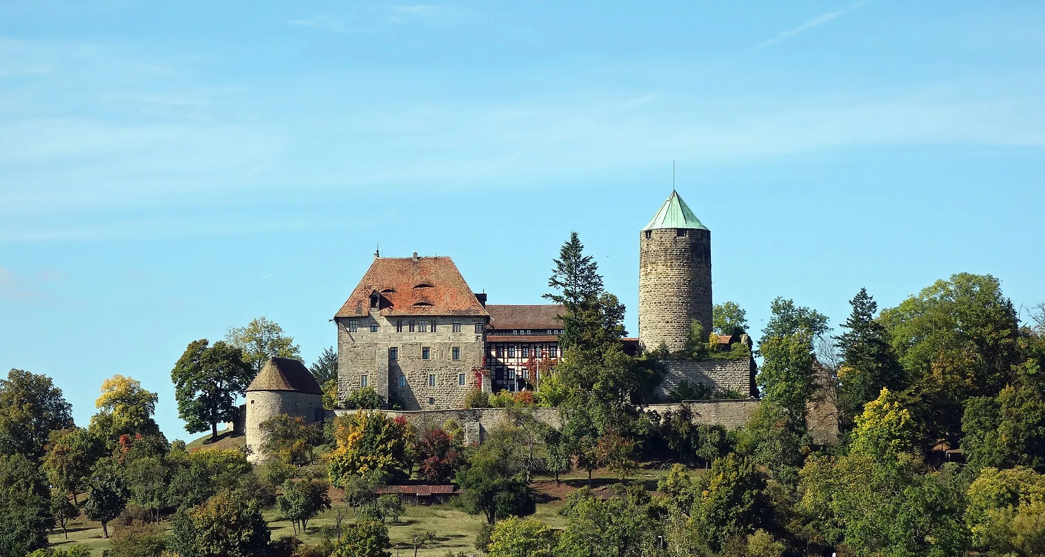
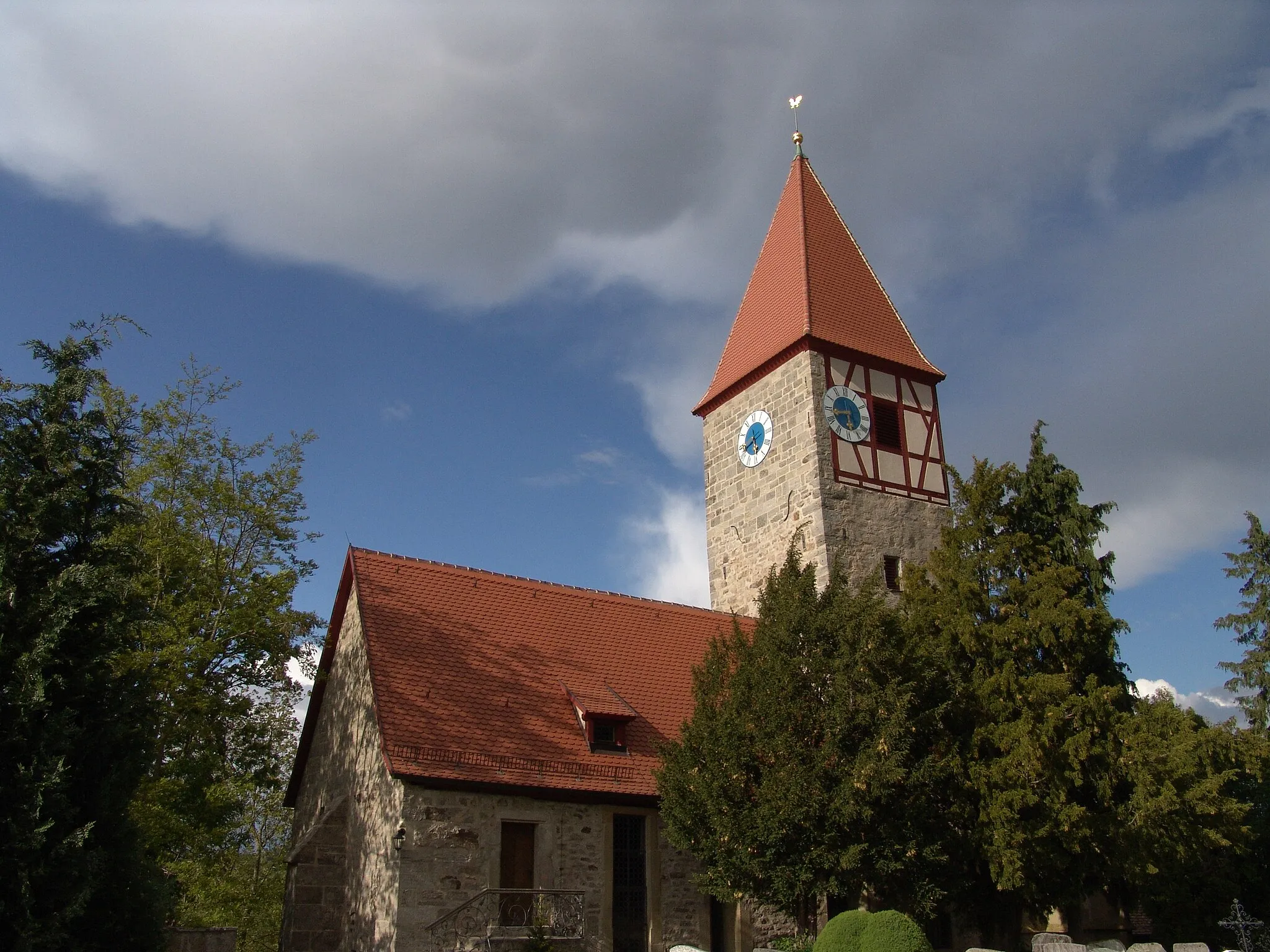
MitteldachstettenVillageMitteldachstetten is a charming village with idyllic countryside views. Enjoy a relaxing atmosphere and recharge before continuing your journey.
66 km
66 km
Petersberg504 mViewpointPetersberg offers panoramic views of the Franconian region. This famous spot is not to be missed. Capture the ultimate cycling selfie with the stunning backdrop.
67 km
67 km
Finish: Marktbergel Village centerMarktbergel: Immersing in nature's wonders while cycling through Marktbergel
Cycling routes from Marktbergel:
Petersberg and Trautskirchen Ernstberg and Rothenburg Hohe Steig Route Ickelheim and Mitteldachstetten Tranquil Gravel Escape: From Mideltal to Eichbuck Gravel adventure through diverse landscapes Weinberg and Neustadt an der Aisch Hilly landscapes and charming villages Gravel Adventure: From Vineyards to Felberg Rural Road Adventure: Uffenheim to Illesheim Exploring the Gravel Paths
Cycling routes nearby: