Scenic Gravel Loop
A gravel cycling route starting from Colmberg
Discover the beauty of nature on this picturesque gravel route
Map
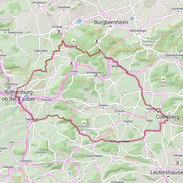
Embark on this 53 km gravel loop near Colmberg and enjoy a scenic ride with a total ascent of 440 meters. The route will take you through enchanting landscapes and past captivating highlights.
gravel
53 km
440 m
Tough
Route profile
Highlights on the route
0 km
0 km
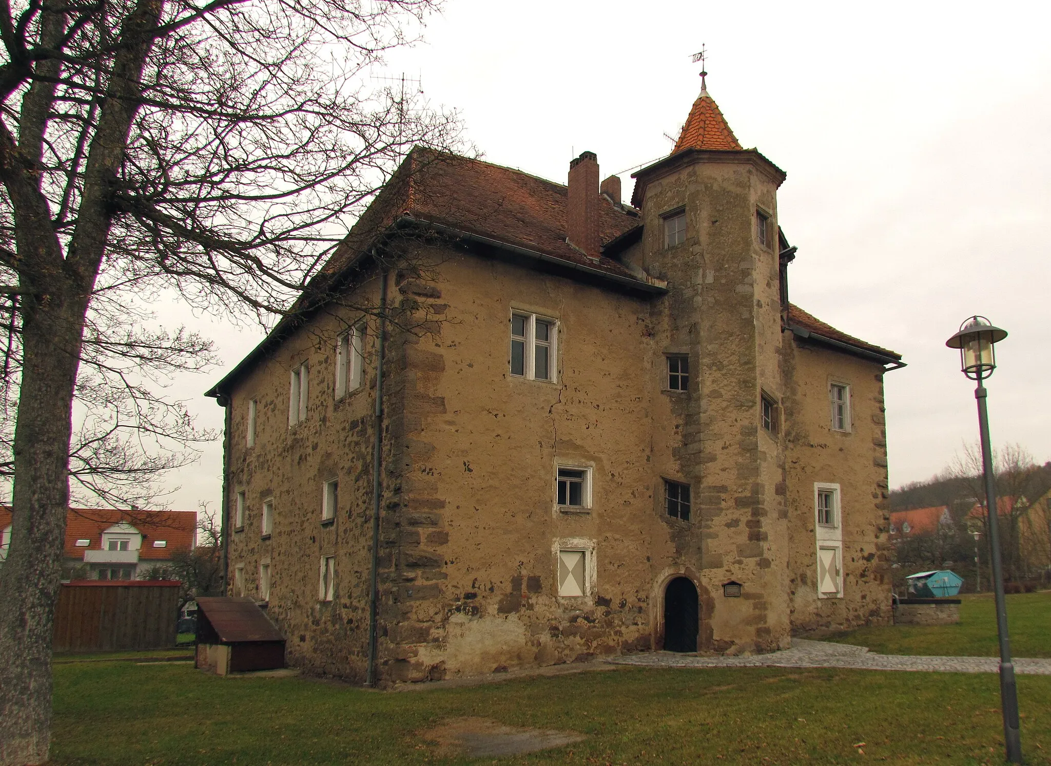
Start: Colmberg City centerColmberg: Cycling in the Charming Town of Colmberg, Mittelfranken, Germany
Colmberg is a charming town located in Mittelfranken, Germany. From a cyclist's perspective, Colmberg offers a variety of road and gravel routes that showcase the beautiful countryside and picturesque villages in the region. The roads are well-maintained and there are minimal traffic, making it a peaceful and enjoyable cycling experience. One of the iconic cycling spots nearby is the climb up to the Colmberg Castle, which offers stunning views at the top. Overall, Colmberg is a great destination for both road and gravel cyclists.4 km
4 km
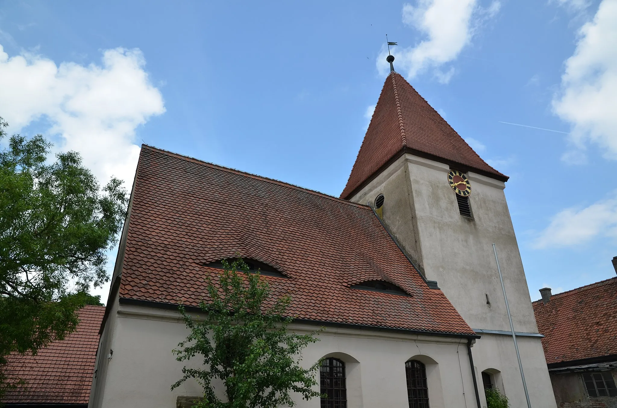
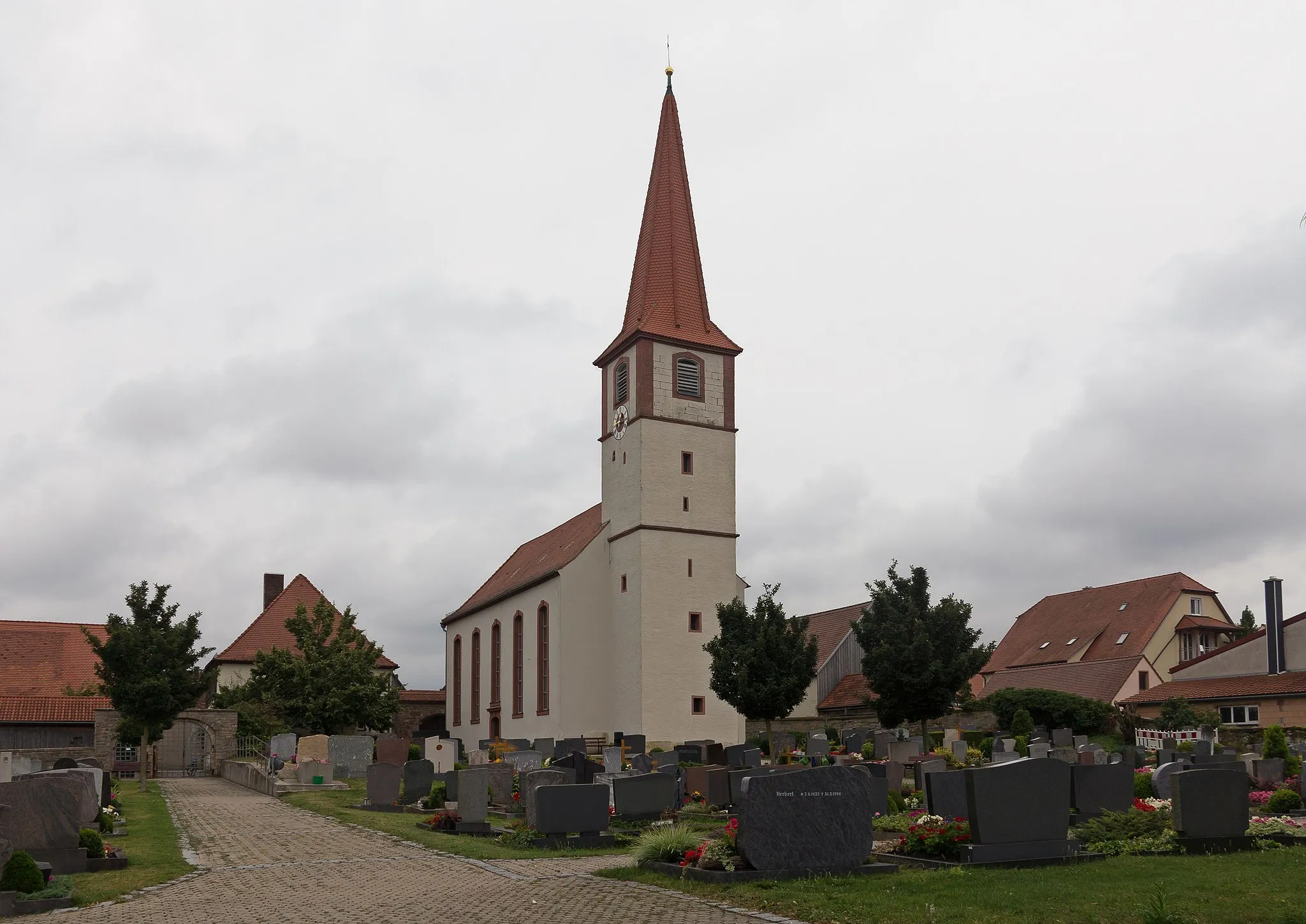
FrommetsfeldenVillageFrommetsfelden is a charming village known for its traditional half-timbered houses and peaceful surroundings, making it an ideal place to take a break and soak in the scenery.
12 km
12 km
Ameisberg510 mPeakAmeisberg is a small hill offering stunning views over the rolling hills and lush green fields of Mittelfranken, making it a worth-while stop on your gravel journey.
23 km
23 km
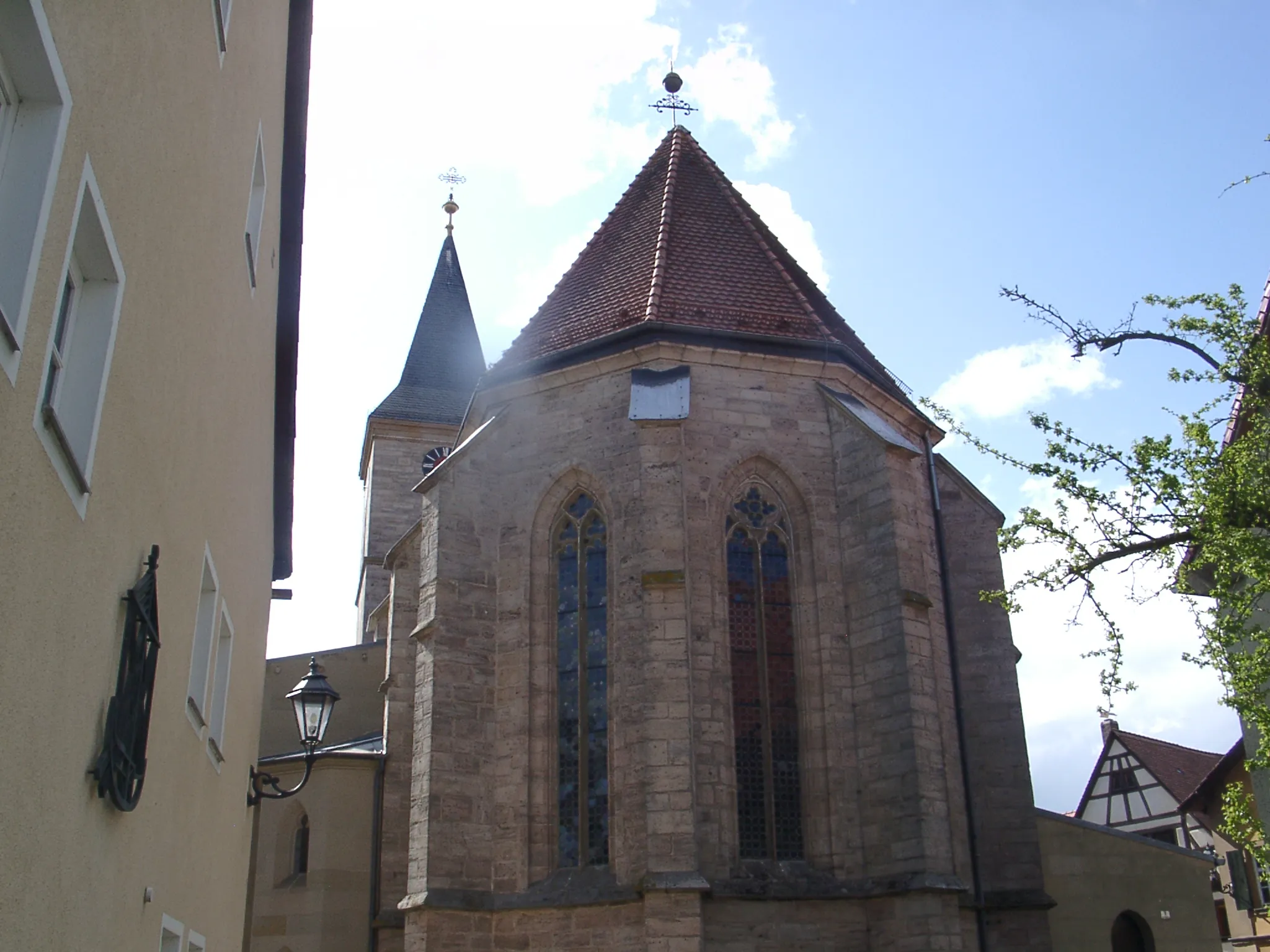
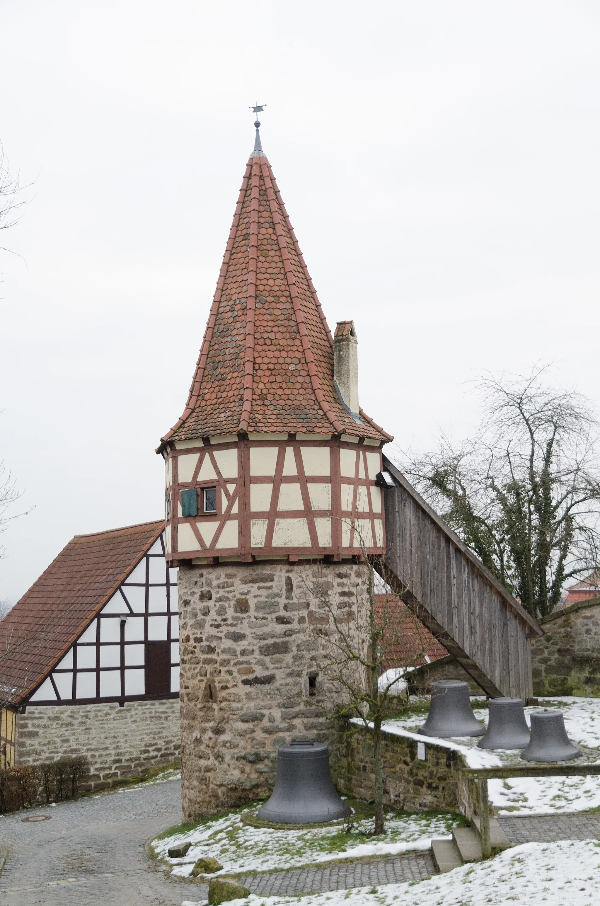
Rothenburg ob der TauberTownRothenburg ob der Tauber, located along the route, is a picturesque medieval town famous for its well-preserved city wall and charming architecture. Take some time to explore its narrow cobblestone streets and soak in the historic atmosphere.
28 km
28 km
Lerchenhöhe419 mPeakLerchenhöhe is a scenic overlook point with panoramic views of the surrounding countryside. Stop here to enjoy the breathtaking scenery and capture memorable photos.
36 km
36 km
Hohe Leite515 mPeakHohe Leite is a hill known for its natural beauty, offering fantastic views over the rolling hills and valleys of the region.
48 km
48 km
Bergbuck441 mPeakBergbuck is a small mountain with lush forests and a well-marked hiking trail, providing an opportunity for a refreshing stroll through nature.
53 km
53 km
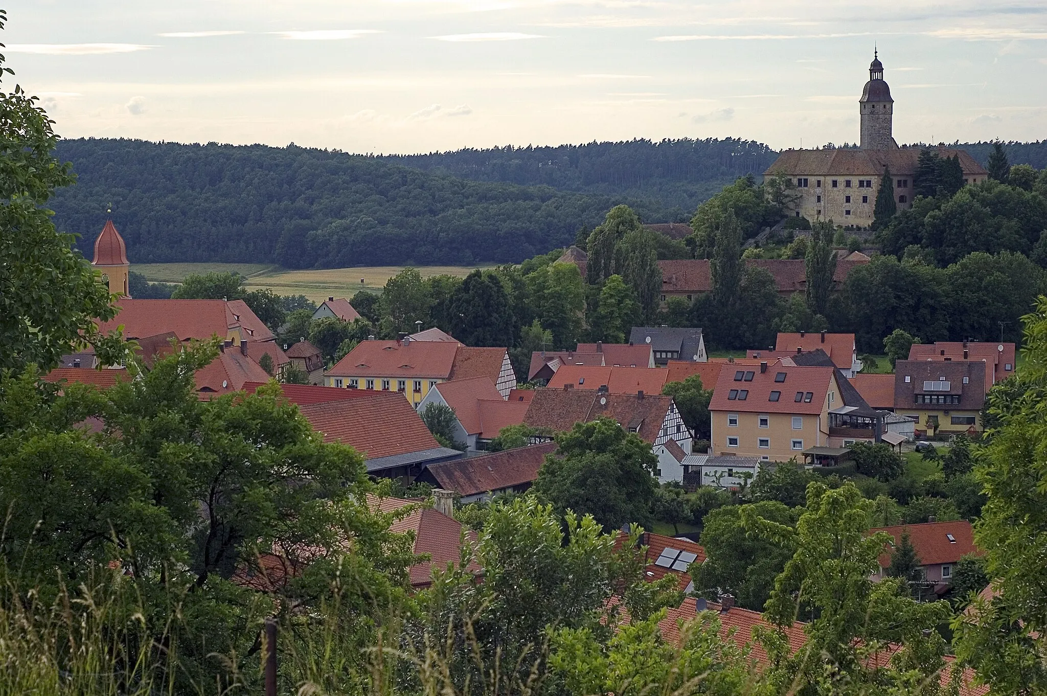
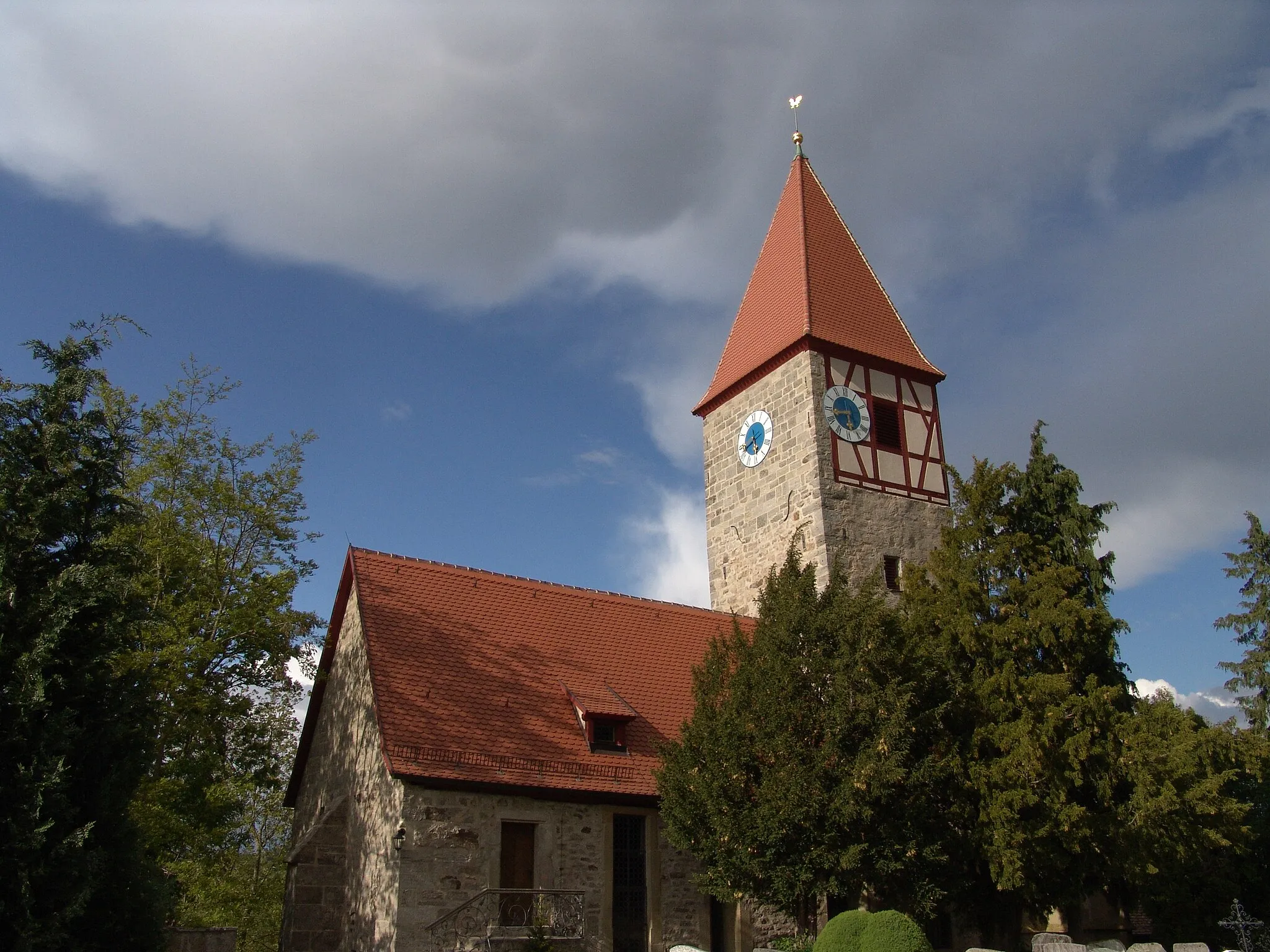
ColmbergTownColmberg, the starting and ending point of this route, is a medieval town with a castle and picturesque surroundings, inviting you to explore its history and charm.
53 km
53 km
Finish: Colmberg City centerColmberg: Cycling in the Charming Town of Colmberg, Mittelfranken, Germany
Cycling routes nearby: