Schillingsfürst - Vorderer Grasbühl - Buch am Wald - Münchsberg - Dombühl Gravel Route
A gravel cycling route starting from Dombuhl
A gravel route featuring challenging climbs like Vorderer Grasbühl and breathtaking descents in Buch am Wald.
Map

Embark on a captivating gravel route starting from Schillingsfürst and winding through stunning landscapes. The ride kicks off with a climb up Vorderer Grasbühl, offering stunning panoramic views as a reward before descending into Buch am Wald. Here, riders will experience exhilarating downhill moments intertwined with picturesque scenery. As the adventure continues towards Münchsberg, the track rewards riders with demanding climbs and glorious summits. The route concludes in Dombühl, a town immersed in history and sporting bright highlight choices well worth exploring.
gravel
34 km
395 m
Tough
Route profile
Highlights on the route
0 km
0 km
Start: Mittelstetten Village centerDombühl: Tranquil Cycling Haven in Mittelfranken
Dombühl, located in Mittelfranken, Germany, offers a pleasant cycling experience with its quiet roads and scenic landscapes. The area features several well-maintained cycling routes that cater to both road and gravel cyclists. For road cyclists, the nearby Franconian Heights offers challenging climbs and stunning views. Dombühl is also a great starting point for exploring the surrounding region, known for its charming villages and historic landmarks.6 km
6 km
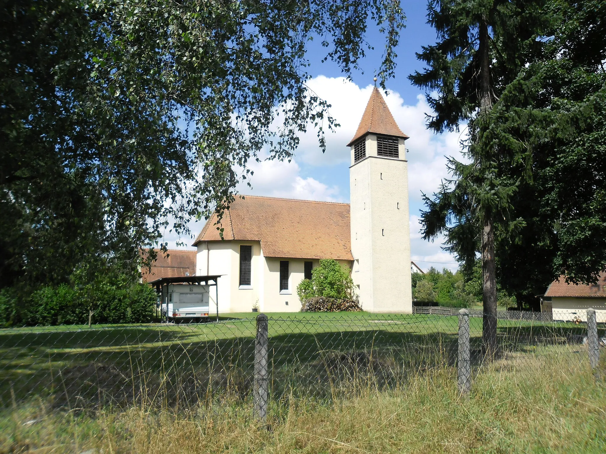
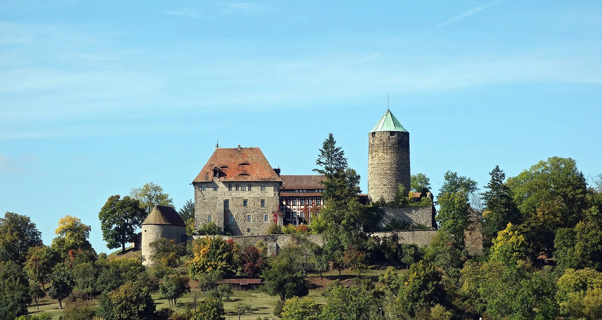
SchillingsfürstTownSchillingsfürst hosts the renowned Hirschlingen Castle, a historical gem characterized by its captivating architecture and beautiful surroundings.
9 km
9 km
Vorderer Grasbühl472 mPeakVorderer Grasbühl features challenging ups and downs along with breathtaking landscapes, making it an exciting spot for gravel enthusiasts.
21 km
21 km
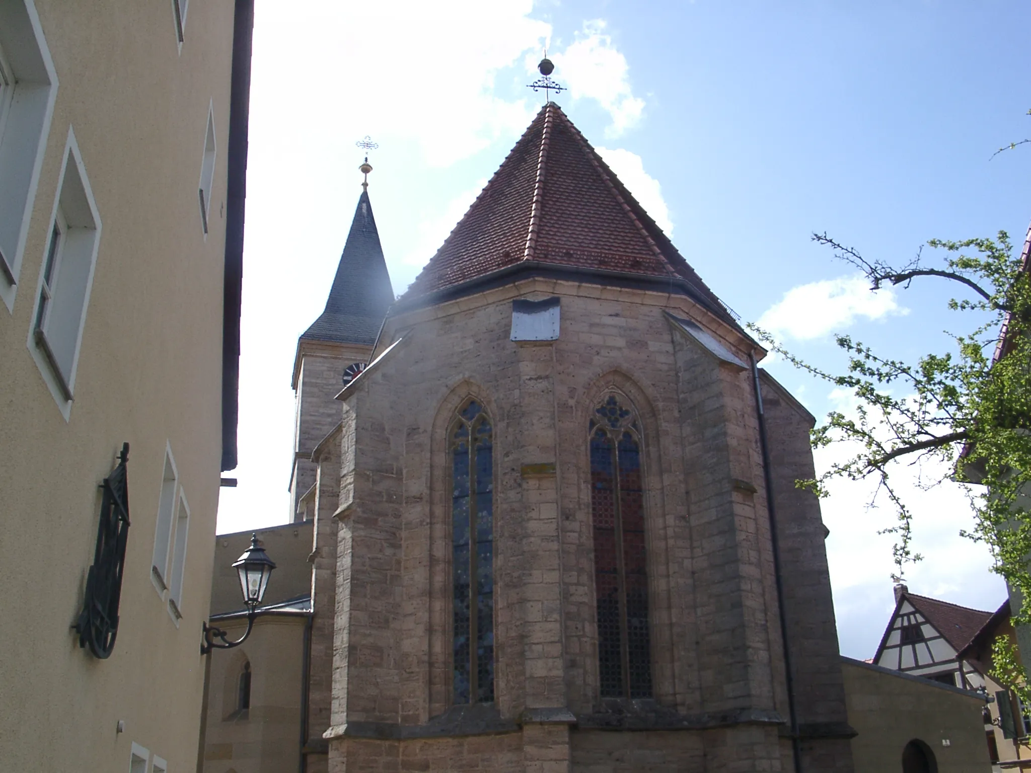
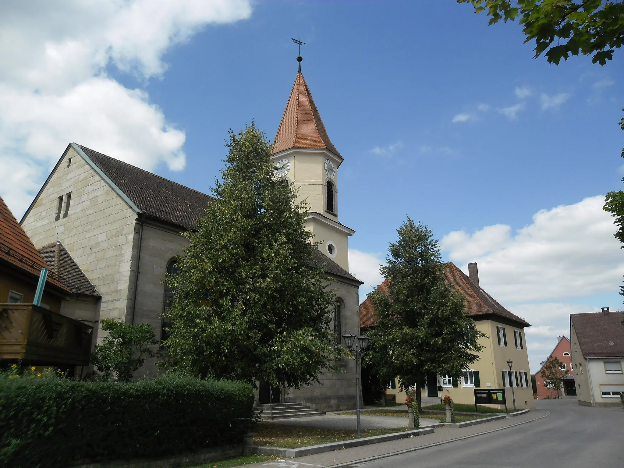
Buch am WaldVillageBuch am Wald greets cyclists with charming timber-framed houses and awe-inspiring surroundings, promising an enchanting encounter with German tradition.
26 km
26 km
Münchsberg500 mPeakMünchsberg provides the perfect vantage point for panoramic views, creating an ideal moment for riders to pause and appreciate the scenic beauty around them.
32 km
32 km
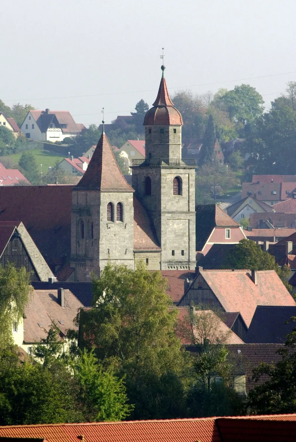
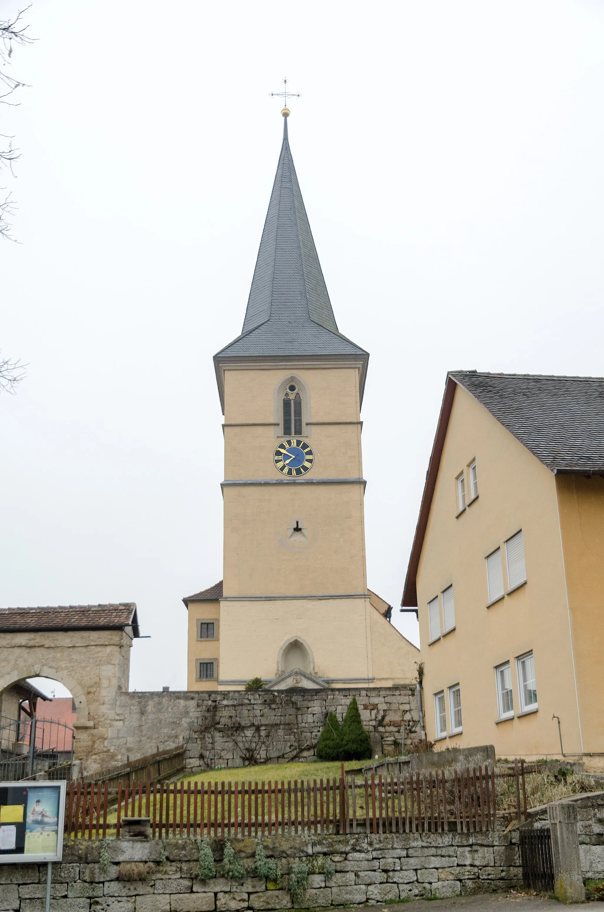
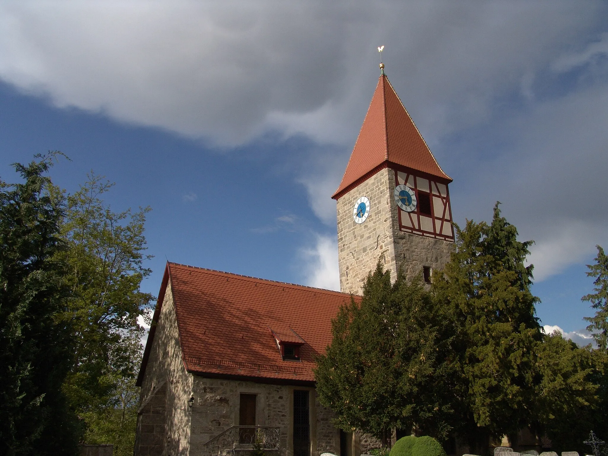
DombühlVillageDombühl offers a rich historical tapestry and delightful amenities that warmly invite exploration, making it an excellent end point for this gravel adventure.
32 km
32 km
Bergfeld528 mPeakBergfeld showcases a quaint village nestled within idyllic landscapes, inviting cyclists to take tranquil breaks between exhilarating rides.
34 km
34 km
Finish: Mittelstetten Village centerDombühl: Tranquil Cycling Haven in Mittelfranken
Cycling routes from Dombuhl:
Wildenholz - Birkenberg - Untergailnau - Wühlberg - Bergfeld - Dombühl Gravel Route Northern Loop to Kahlrichm Southern Loop to Schillingsfürst Dombühl - Büchelberg - Herrieden - Mückenbühl - Dentlein am Forst - Eichelberg - Dorfgütingen - Thierschingberg Road Route Schillingsfürst - Vorderer Grasbühl - Buch am Wald - Münchsberg - Dombühl Gravel Route Ultimate Road Cycling Challenge: Rothenburg ob der Tauber Circuit Vetschenberg - Rothenburg ob der Tauber - Lerchenhöhe - Ohrenbach - Gänsbuck - Marktbergel - Büttelberg - Buch am Wald - Münchsberg Road Route Gorgeous Gravel Adventure to Hauerhut Scenic Gravel Tour to Erlbach Schillingsfürst - Reinhardsberg - Schneidberg - Windelsbach - Buch am Wald - Münchsberg - Dombühl Gravel Route The Dombühl Adventure
Cycling routes nearby: