The Leukershausen Loop
A road cycling route starting from Crailsheim
Cycling through scenic landscapes and historic towns
Map
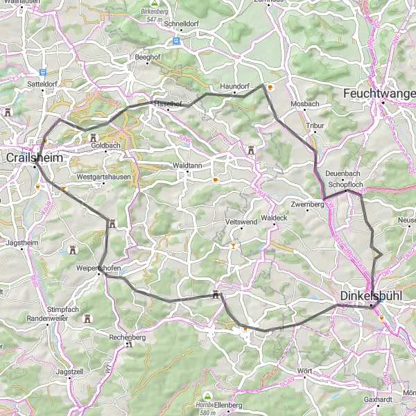
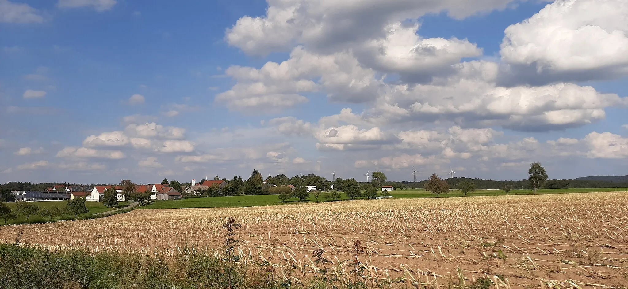
The Leukershausen Loop is a road cycling route near Crailsheim that takes you through picturesque landscapes and charming historic towns. With a moderate ascent of 580m and a distance of 59km, it is suitable for well-trained amateur cyclists. This route is not too difficult but offers plenty of opportunities to enjoy the surrounding natural beauty and discover interesting highlights along the way.
road
59 km
580 m
Tough
Route profile
Highlights on the route
0 km
0 km
Start: Crailsheim City centerCrailsheim: Cycling paradise in Stuttgart region
Crailsheim, located in the Stuttgart region of Germany, offers diverse cycling opportunities for road and gravel cyclists. The region features rolling hills and beautiful landscapes, perfect for both leisurely rides and challenging climbs. Cyclists can explore the scenic routes and enjoy the tranquility of the countryside. Crailsheim is also home to famous cycling spots such as Hohenlohe, a well-known climb that attracts cyclists of all levels. With its cycling-friendly atmosphere and stunning scenery, Crailsheim is a great destination for cyclists looking to experience the beauty of the Stuttgart region.11 km
11 km
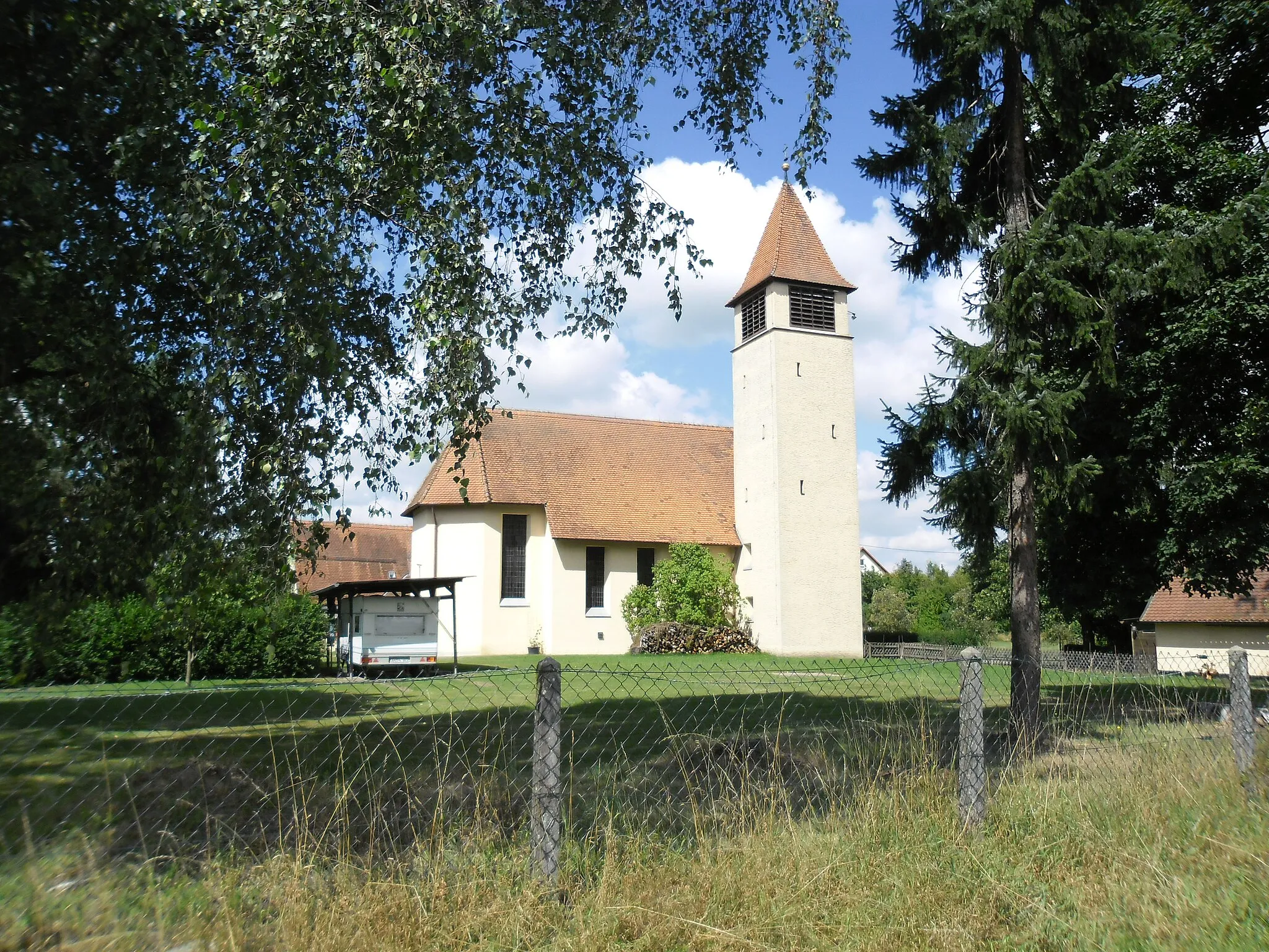
LeukershausenVillageLeukershausen, a quaint village known for its half-timbered houses and traditional charm.
14 km
14 km
Mühlberg511 mPeakMühlberg, a historical site with its ancient castle ruins.
32 km
32 km
DinkelsbühlTownDinkelsbühl, an enchanting medieval town with well-preserved buildings and a rich history.
43 km
43 km
Wasserscheide Rhein/Donau510 mMountain PassWasserscheide Rhein/Donau, a scenic spot where the waters separate and flow into two different rivers.
43 km
43 km
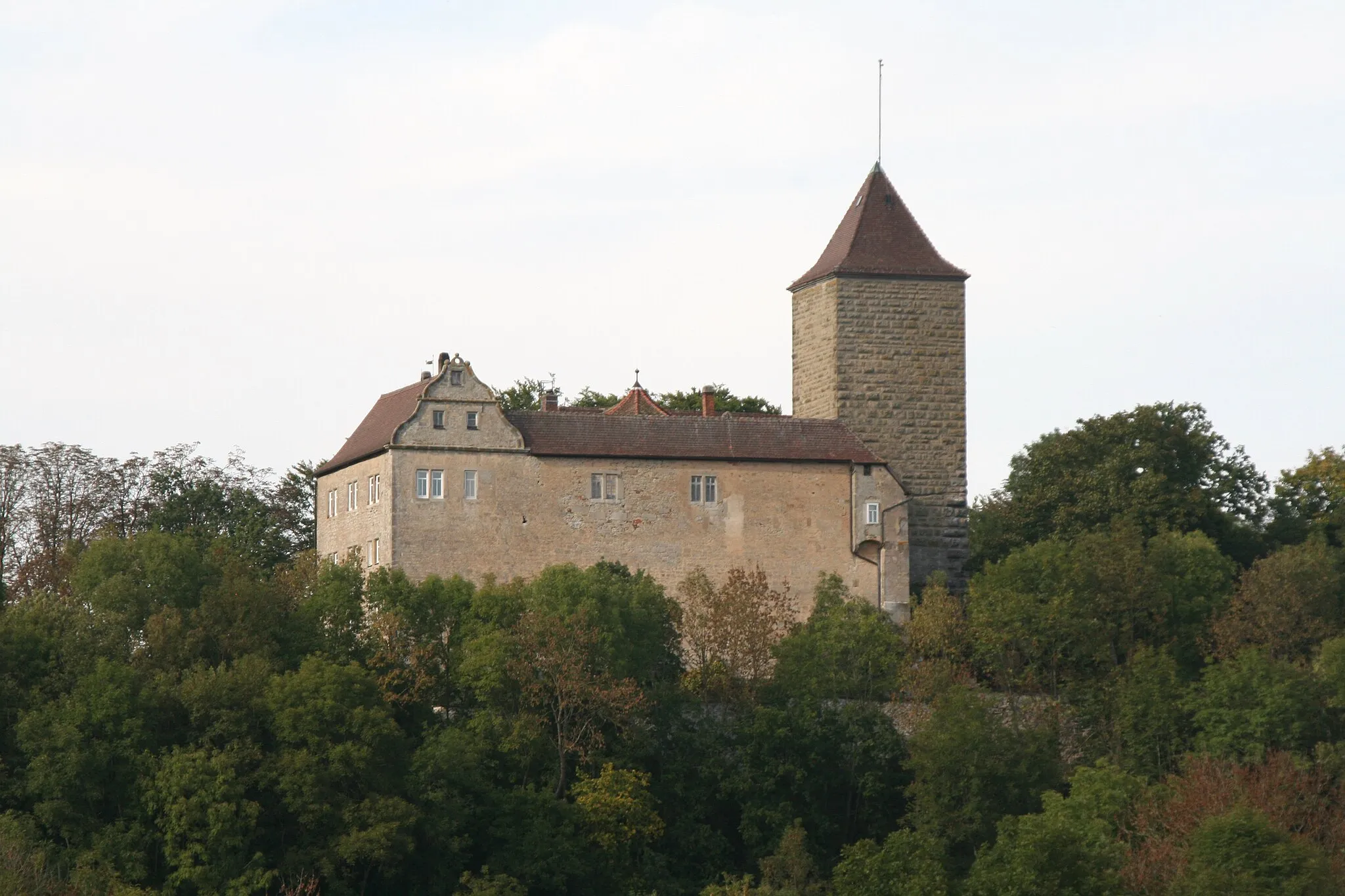
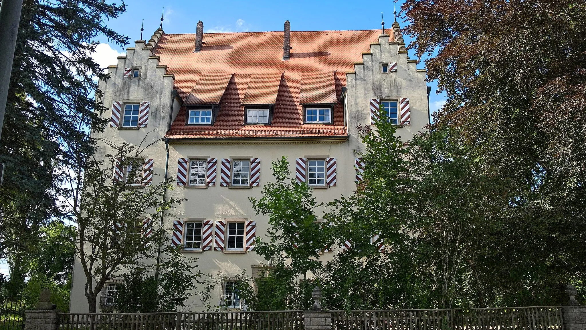
Schloss WildensteinCastleSchloss Wildenstein, a beautiful castle overlooking the countryside.
58 km
58 km
IngersheimSub-urbIngersheim, a charming village with traditional Bavarian architecture.
59 km
59 km
Finish: Crailsheim City centerCrailsheim: Cycling paradise in Stuttgart region
Cycling routes from Crailsheim:
The Pechberg Loop The Leukershausen Loop The Rothenburg Adventure Gaggstatt Loop Gravel Adventure to Mariäkappel The Jagstheim Journey Burg Schönebürg Loop Schönberg Adventure The Gravel Adventure Aalen Epic Gravel Challenge Challenging Gravel Tour from Crailsheim to Dinkelsbühl Scenic Gravel Route from Crailsheim to Satteldorf
Cycling routes nearby: