Challenging Gravel Tour from Crailsheim to Dinkelsbühl
A gravel cycling route starting from Crailsheim
Embark on a challenging gravel tour from Crailsheim to the historical town of Dinkelsbühl
Map
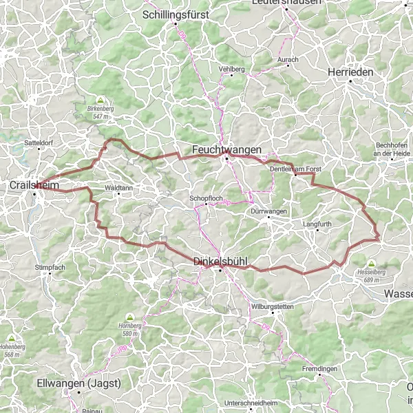
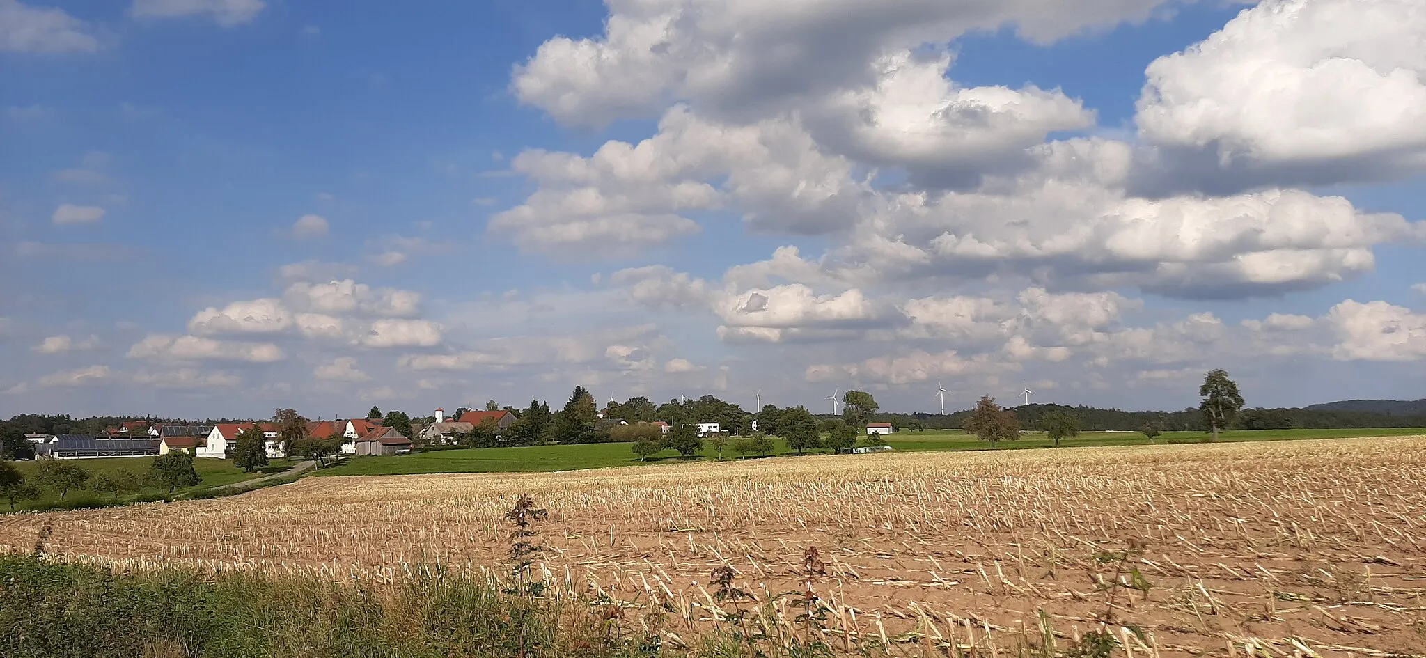
This challenging gravel route starts in Crailsheim and takes you through various picturesque towns and landscapes. With a total distance of 91 kilometers and an ascent of 1078 meters, this route is suitable for experienced riders looking for a real test of endurance. The highlight of this route is the medieval town of Dinkelsbühl, where you can explore its well-preserved old town and immerse yourself in history. The route also passes through Mariäkappel, Kesselberg, Weinberg, Dentlein am Forst, Wittelshofen, Schafbuck, Berglein, Wasserscheide Rhein/Donau, Wäldershub, and Westgartshausen, providing a diverse range of landscapes and cultural attractions.
gravel
91 km
1078 m
Tough
Route profile
Highlights on the route
0 km
0 km
Start: Crailsheim City centerCrailsheim: Cycling paradise in Stuttgart region
Crailsheim, located in the Stuttgart region of Germany, offers diverse cycling opportunities for road and gravel cyclists. The region features rolling hills and beautiful landscapes, perfect for both leisurely rides and challenging climbs. Cyclists can explore the scenic routes and enjoy the tranquility of the countryside. Crailsheim is also home to famous cycling spots such as Hohenlohe, a well-known climb that attracts cyclists of all levels. With its cycling-friendly atmosphere and stunning scenery, Crailsheim is a great destination for cyclists looking to experience the beauty of the Stuttgart region.7 km
7 km
MariäkappelVillageMariäkappel offers stunning views and a peaceful atmosphere that cyclists will love.
10 km
10 km
Kesselberg538 mPeakKesselberg is a challenging climb that rewards cyclists with breathtaking views at the top.
20 km
20 km
Weinberg510 mPeakWeinberg is a picturesque vineyard that is perfect for a quick rest and photo opportunity.
31 km
31 km
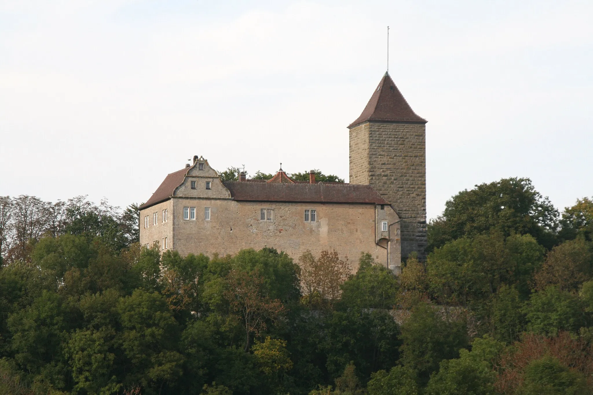
Dentlein am ForstVillageDentlein am Forst is known for its beautiful castle and idyllic surroundings.
50 km
50 km
WittelshofenVillageWittelshofen is a charming village with traditional half-timbered houses and a welcoming atmosphere.
52 km
52 km
Schafbuck458 mPeakSchafbuck offers panoramic views of the surrounding countryside and is a great spot for a break.
60 km
60 km
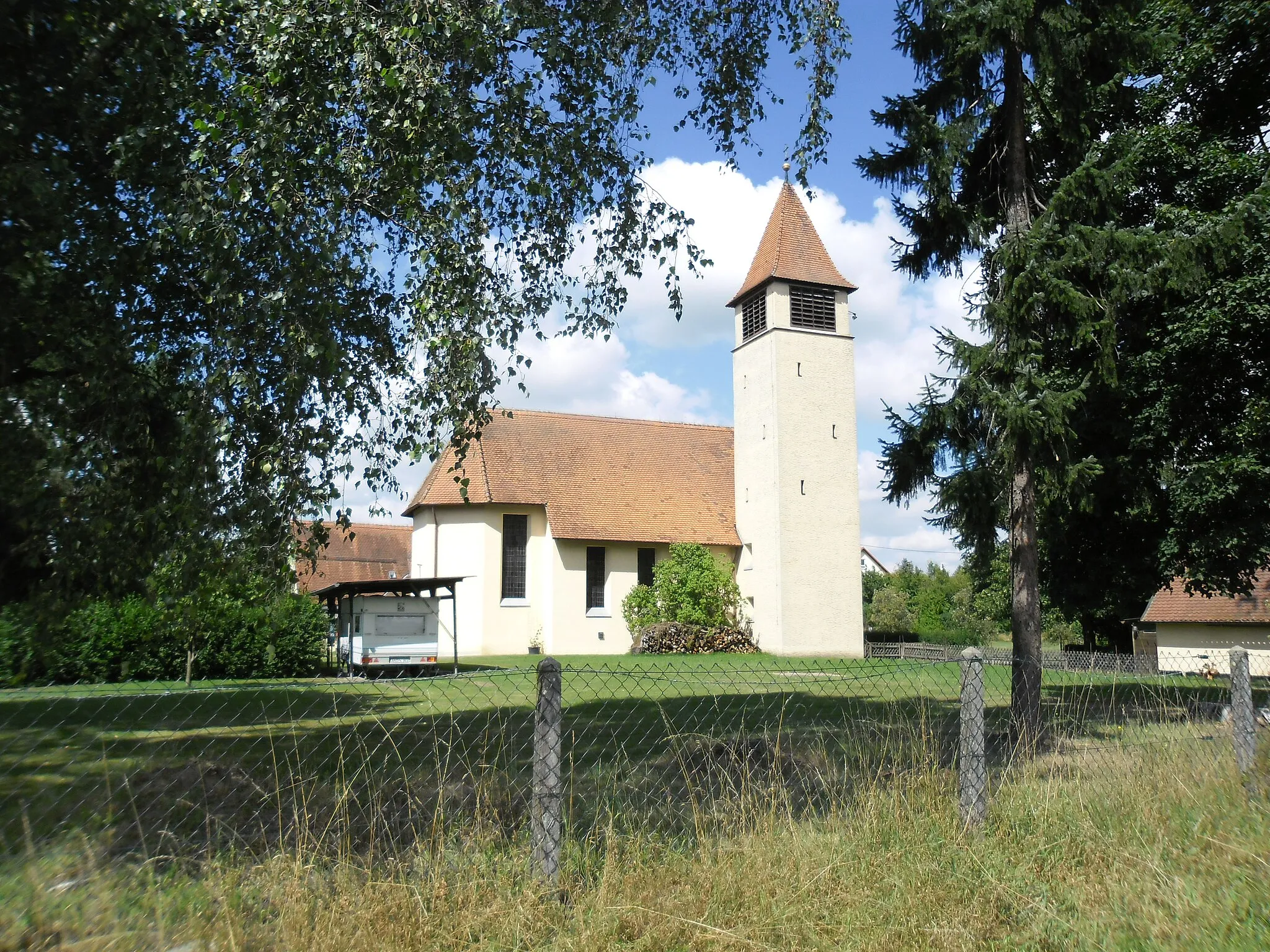
Berglein516 mPeakBerglein is a quaint village with a picturesque church and beautiful surrounding nature.
65 km
65 km
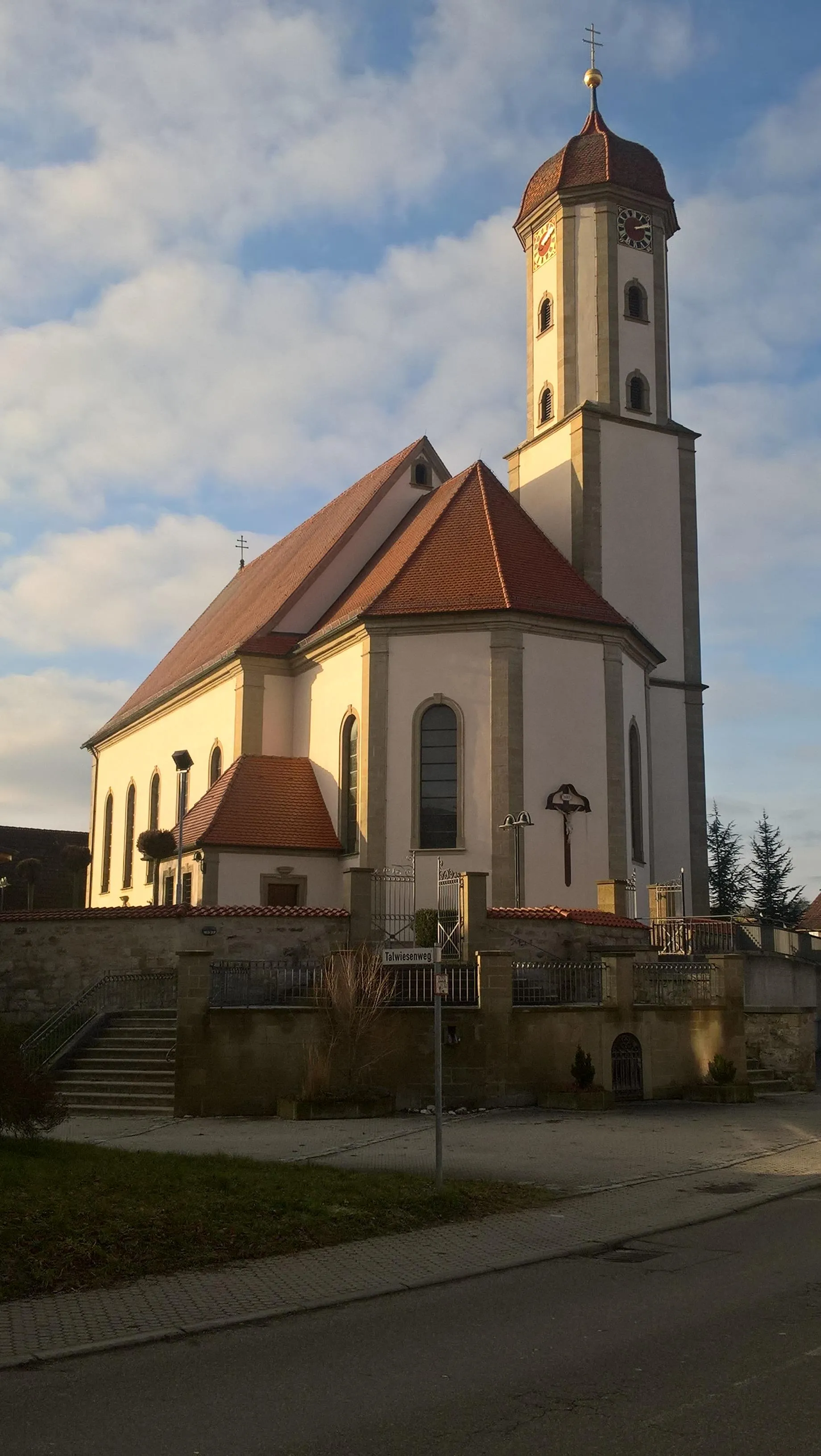
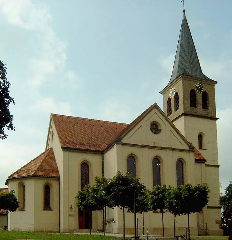
DinkelsbühlTownDinkelsbühl is a medieval town with well-preserved architecture and a rich history.
75 km
75 km
Wasserscheide Rhein/Donau510 mMountain PassLocated at the watershed between the Rhine and Danube rivers, Wasserscheide Rhein/Donau offers a unique nature experience.
76 km
76 km
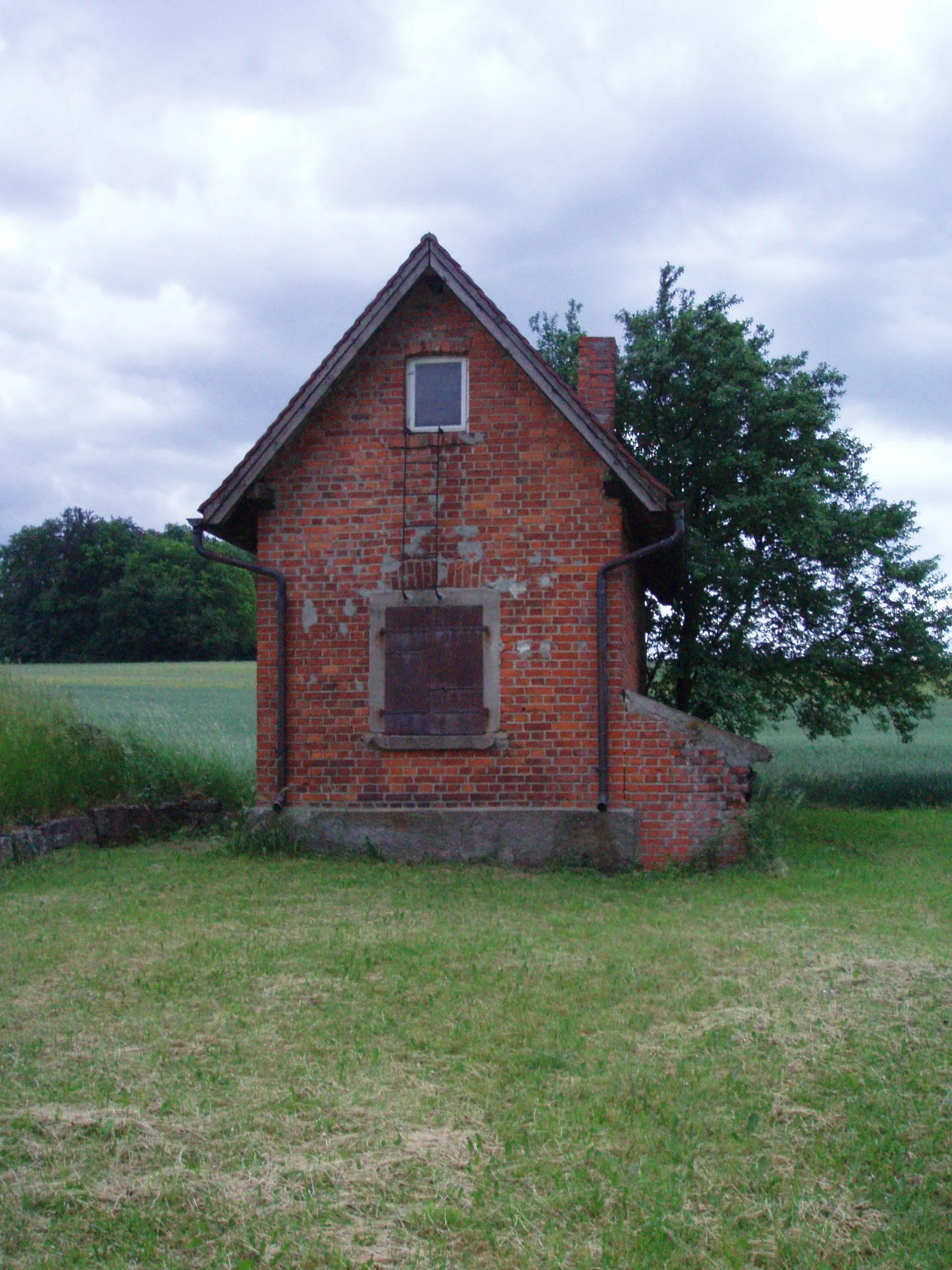
WäldershubHamletWäldershub is a small village with traditional houses and a peaceful atmosphere.
86 km
86 km
WestgartshausenVillageWestgartshausen is known for its beautiful gardens and scenic landscapes.
91 km
91 km
Finish: Crailsheim City centerCrailsheim: Cycling paradise in Stuttgart region
Cycling routes from Crailsheim:
The Pechberg Loop The Leukershausen Loop The Rothenburg Adventure Gaggstatt Loop Gravel Adventure to Mariäkappel The Jagstheim Journey Burg Schönebürg Loop Schönberg Adventure The Gravel Adventure Aalen Epic Gravel Challenge Challenging Gravel Tour from Crailsheim to Dinkelsbühl Scenic Gravel Route from Crailsheim to Satteldorf
Cycling routes nearby: