Cycling Paradise in Mittelfranken
Cycling routes from Haundorf
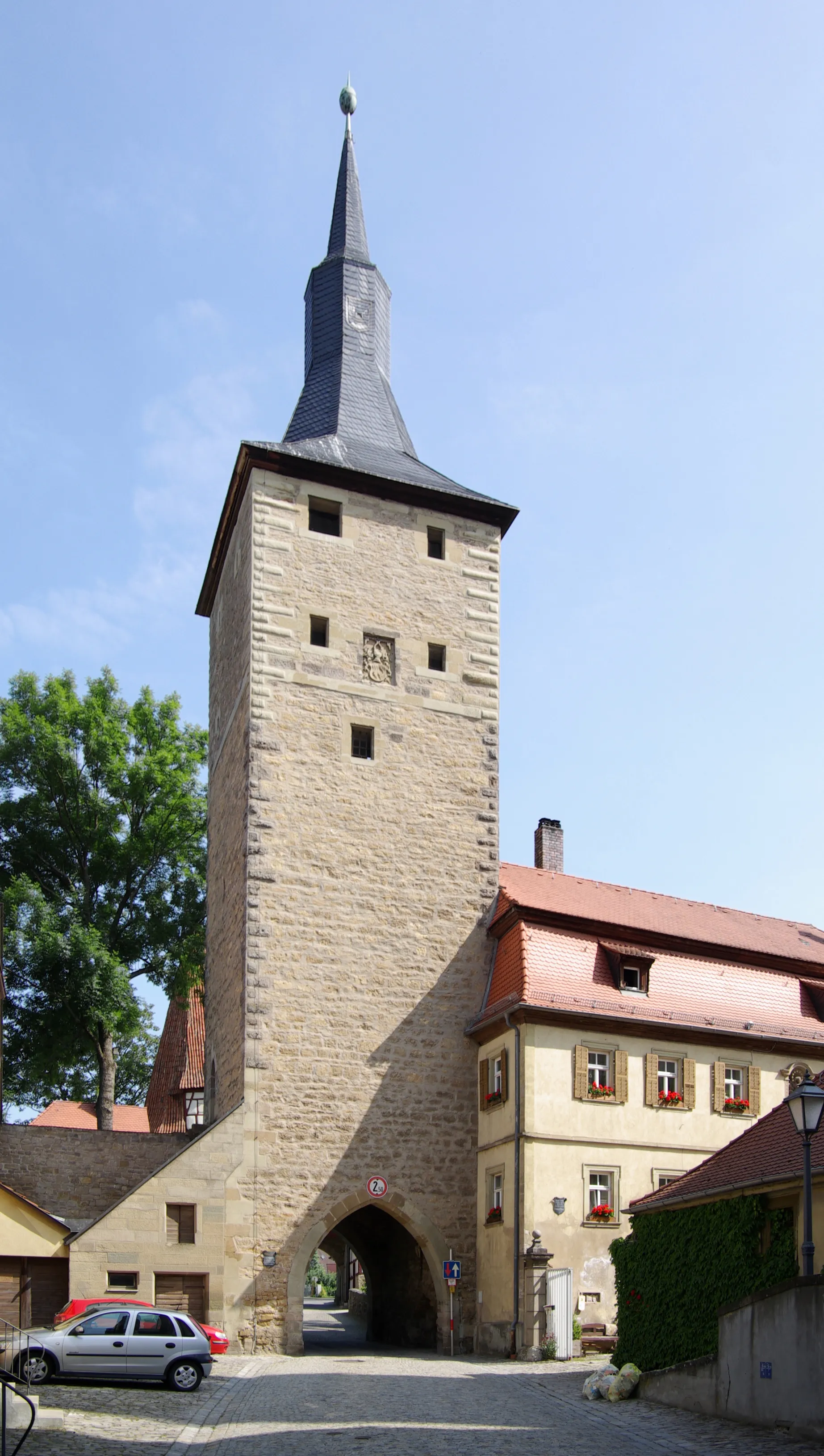
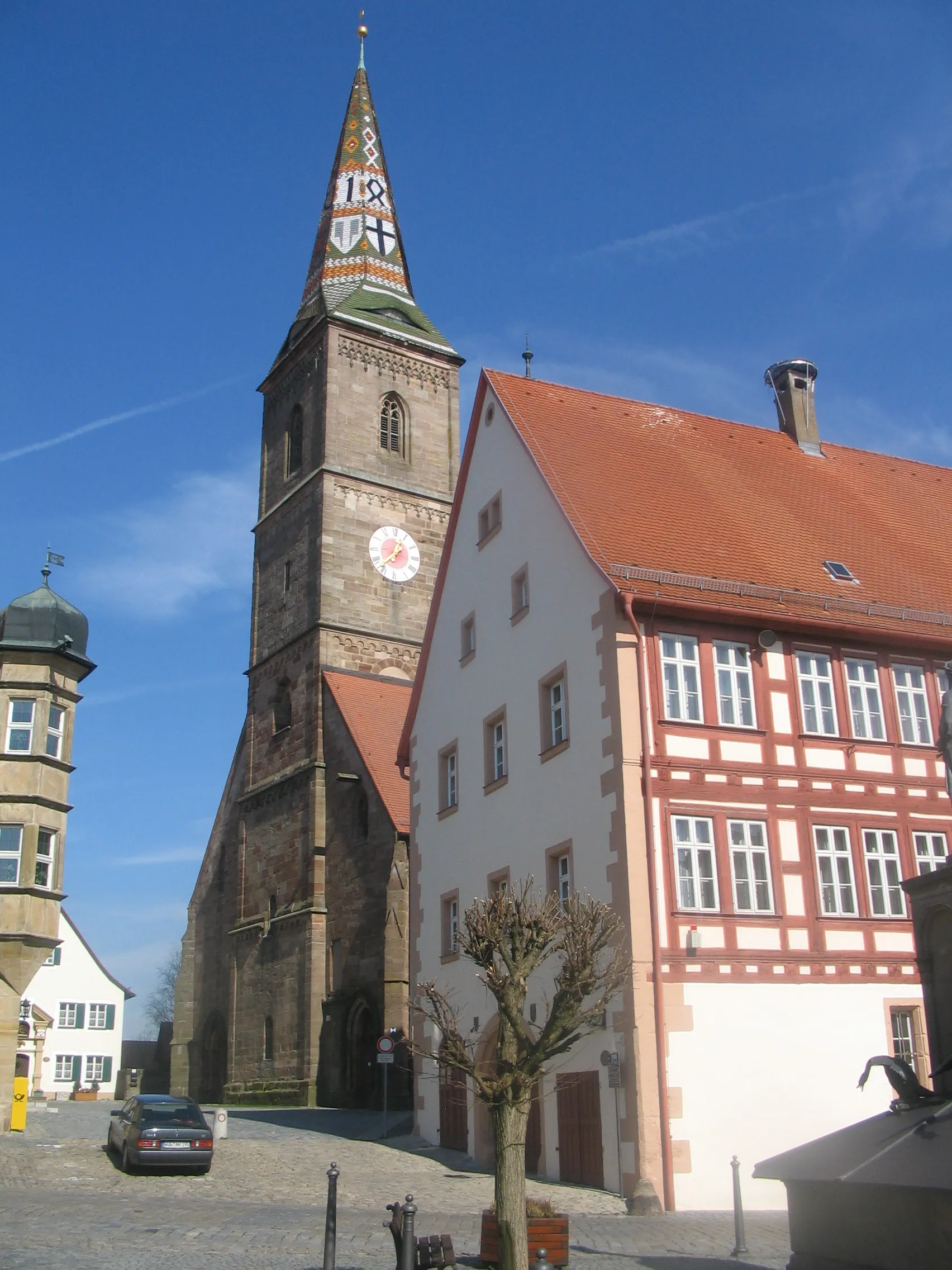
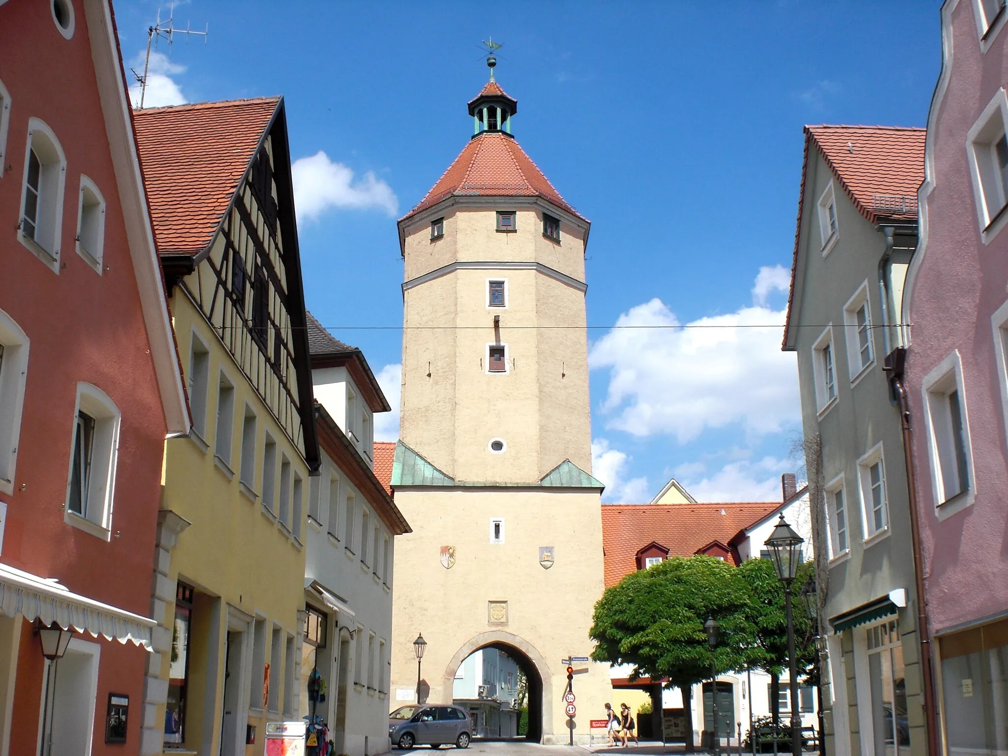
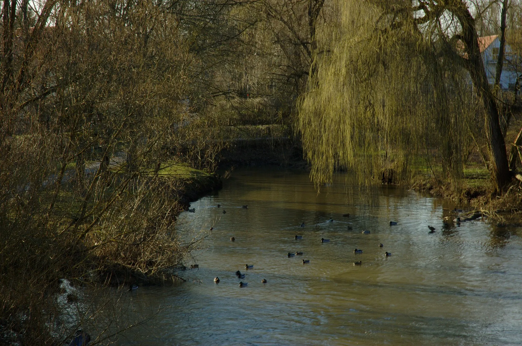
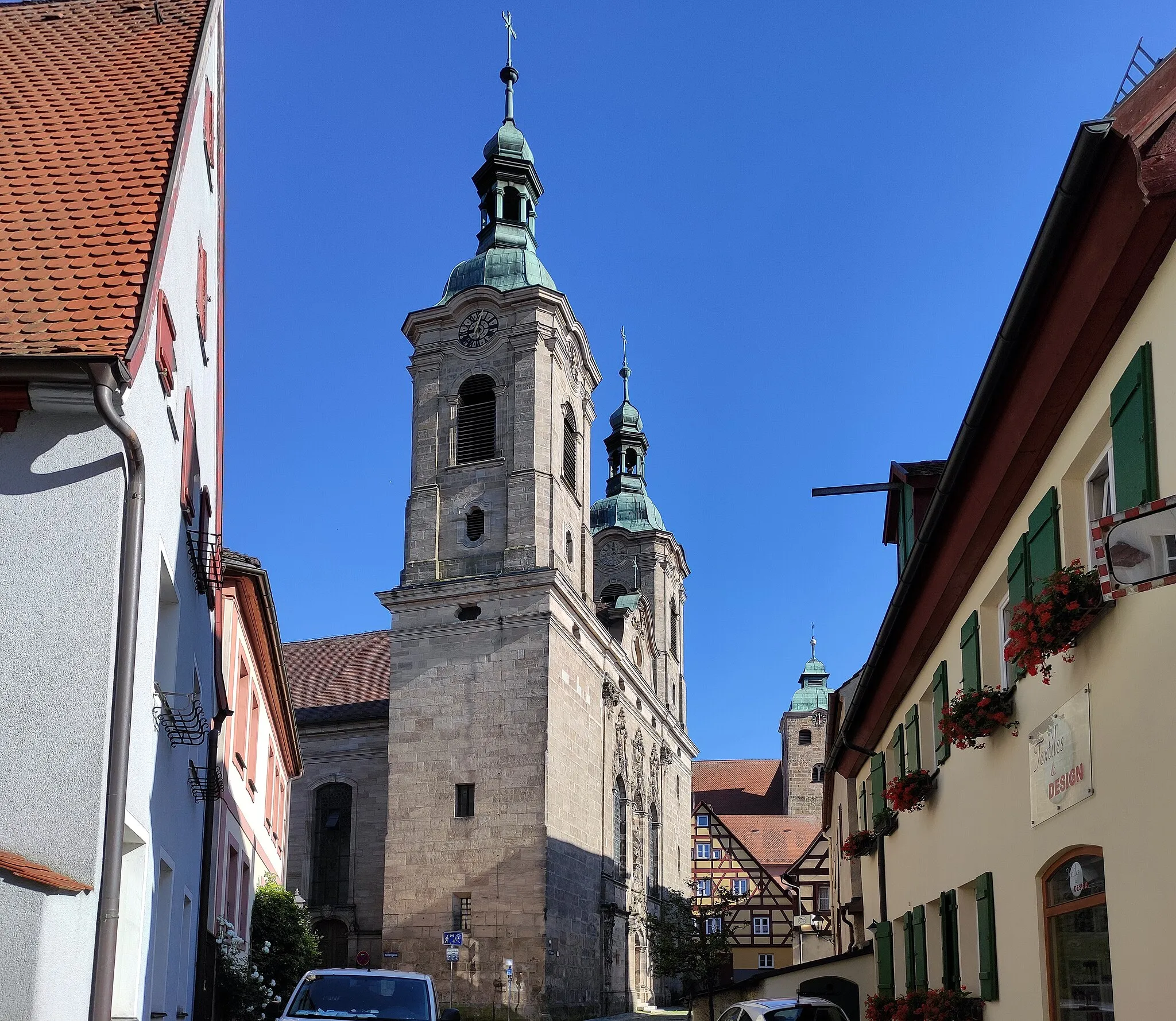
Haundorf is a small town located in Mittelfranken, Germany. From a cyclist's perspective, Haundorf offers a scenic and peaceful environment for road and gravel cycling. The area is surrounded by beautiful countryside and rolling hills, providing ample opportunities for enjoyable rides. Nearby, cyclists can visit the Altmühlsee, a popular lake for outdoor activities. One of the well-known cycling routes in the region is the Altmühltal Panorama Tour, which offers stunning views of the Altmühl Valley. With its picturesque landscapes and cycling-friendly atmosphere, Haundorf is a great destination for cyclists of all levels.
Around Höhberg

Explore the picturesque area surrounding Höhberg
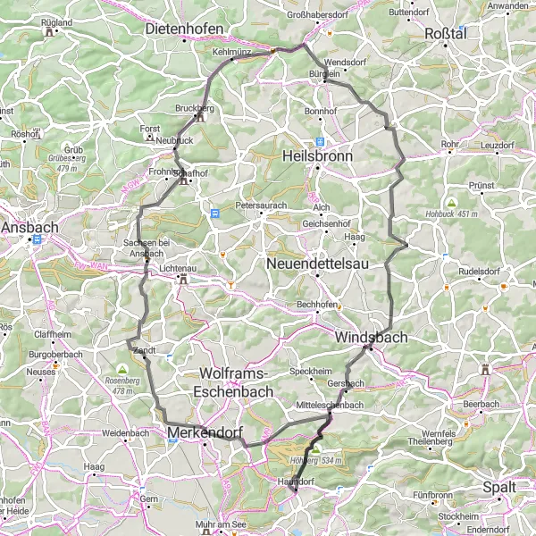
This round-trip cycling route near Haundorf takes you through the beautiful landscape surrounding Höhberg. With a total distance of 46 kilometers and an ascent of 561 meters, this road route offers a challenging but rewarding experience for cyclists. As you ride along the route, you will encounter several highlights, including Mitteleschenbach and Sauernheim. These spots offer picturesque views and interesting cultural attractions. The overall difficulty level of this route is rated as 3, making it suitable for well-trained amateurs. With its stunning scenery and cultural highlights, this route offers a highly enjoyable cycling experience.
Embark on an exciting cycling adventure to Wolframs-Eschenbach
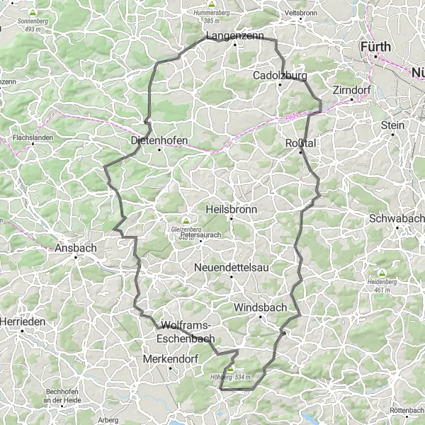
This round-trip cycling route near Haundorf takes you on a thrilling adventure to Wolframs-Eschenbach. With a total distance of 115 kilometers and an ascent of 1361 meters, this road route offers a challenging and epic experience for cyclists. As you ride along the route, you will pass through several highlights, including Weinberg and Hirschberg. These spots offer scenic views and cultural attractions worth exploring. The overall difficulty level of this route is rated as 4, making it suitable for experienced cyclists. With its exciting journey and stunning highlights, this route guarantees a memorable cycling experience.
Embark on an exhilarating gravel adventure to Hinterer Mönchsberg
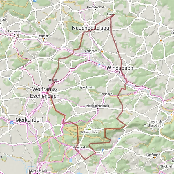
This round-trip gravel cycling route near Haundorf takes you on an exhilarating adventure to Hinterer Mönchsberg. With a total distance of 45 kilometers and an ascent of 556 meters, this route offers a thrilling and challenging experience for gravel enthusiasts. As you ride along the route, you will encounter several highlights, including Wolframs-Eschenbach and Mittelberg. These spots offer scenic views and natural attractions worth exploring. The overall difficulty level of this route is rated as 4, making it suitable for experienced gravel riders. With its rugged terrain and stunning highlights, this route guarantees an unforgettable cycling experience.
Discover Mittelfranken by Road

A memorable road cycling route through the picturesque region of Mittelfranken.
Experience the beauty of Mittelfranken on this road cycling route starting near Haundorf. With a distance of 91 km and an ascent of 819 meters, this route offers a mix of scenic landscapes and cultural highlights. Highlights along the way include Spalt, Kappelstein, Reuth unter Neuhaus, and the Haundorf itself. The difficulty level is rated at 2, making it suitable for well-trained amateurs, while the epicness factor is rated at 3. Cyclists will have the opportunity to explore charming villages, pass by historic sites, and enjoy the peacefulness of the countryside.
Enjoy the beauty of Mittelfranken on this scenic gravel route.
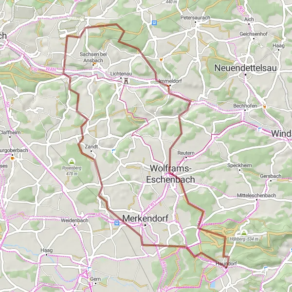
Experience the scenic beauty of Mittelfranken on this gravel cycling route starting near Haundorf. Covering a distance of 49 km with an ascent of 495 meters, this route offers a leisurely ride through picturesque landscapes. Highlights along the way include Merkendorf, Rosenberg, Külbingen, and Wolframs-Eschenbach. The difficulty level is rated at 1, making it suitable for all skill levels, while the epicness factor is rated at 2. Cyclists will have the opportunity to enjoy the tranquility of rural roads, discover charming villages, and immerse themselves in the region's rich history.

Embark on an adventurous gravel cycling route in Mittelfranken.
This gravel cycling route takes cyclists through the beautiful region of Mittelfranken, starting near Haundorf. Covering a distance of 92 km with an ascent of 619 meters, this route offers a mix of gravel roads and scenic trails. Highlights along the route include Gunzenhausen, Gnotzheim, Oettingen in Bayern, and Nonnenberg. The difficulty level is 2, making it suitable for well-trained amateurs, while the epicness factor is rated at 3. Cyclists will have the opportunity to explore remote countryside areas and enjoy the tranquility of nature.
Georgensgmünd Discovery

Discover the hidden gems of Georgensgmünd
This round-trip cycling route near Haundorf takes you on a journey of discovery to Georgensgmünd. With a total distance of 60 kilometers and an ascent of 561 meters, this road route offers a moderate but enjoyable experience for cyclists. As you ride along the route, you will encounter several highlights, including Mitteleschenbach and Pleinfeld. These spots offer stunning views and cultural attractions worth exploring. The overall difficulty level of this route is rated as 3, making it suitable for well-trained amateurs. With its hidden gems and scenic beauty, this route promises a delightful cycling experience.
Experience the beauty of Mittelfranken on this adventurous gravel cycling route.
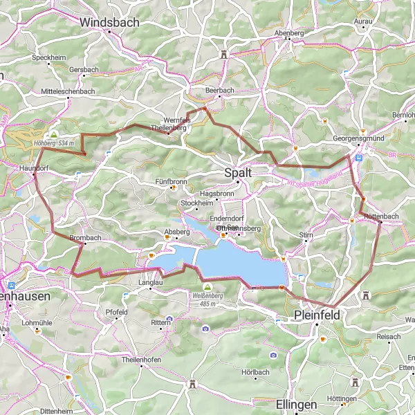
Explore the natural beauty of Mittelfranken on this gravel cycling route starting near Haundorf. With a distance of 59 km and an ascent of 782 meters, this route offers a challenging yet rewarding experience. Highlights along the way include Theilenberg, Hörlberg, Georgensgmünd, and Großer Brombachsee. The difficulty level is rated at 3, suitable for well-trained amateurs, while the epicness factor is rated at 3. Cyclists will have the opportunity to ride through scenic landscapes, pass by beautiful lakes, and enjoy the tranquility of the countryside.

Explore the beautiful region of Mittelfranken on this exciting road cycling route.
This road cycling route offers stunning landscapes and challenging climbs in the region of Mittelfranken, Germany. Starting near Haundorf, the route covers a distance of 135 km and includes a total ascent of 1319 meters. Cyclists will have the opportunity to visit several highlights along the way, such as Mitteleschenbach, Goldberg, Burg Abenberg, and the Steinerne Höhe. The route is suitable for well-trained amateurs with a difficulty rating of 3 and offers an epic experience with a rating of 4.
Embark on a scenic road cycling journey near Haundorf, Mittelfranken
Experience the beauty of the Haundorf region with this road cycling route. Spanning 78 kilometers and featuring an ascent of 828 meters, this route will challenge even the most seasoned cyclists. Ride through picturesque landscapes, pass charming towns, and enjoy stunning views along the way.
Cycling routes nearby:

Nearby regions: