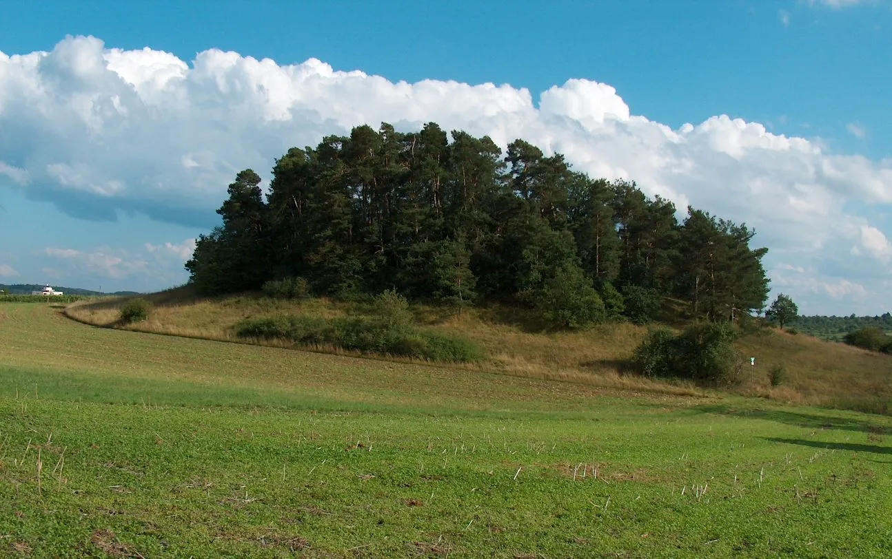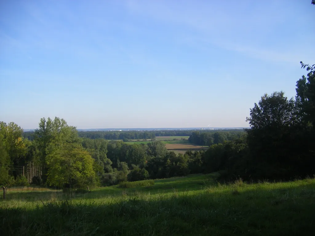
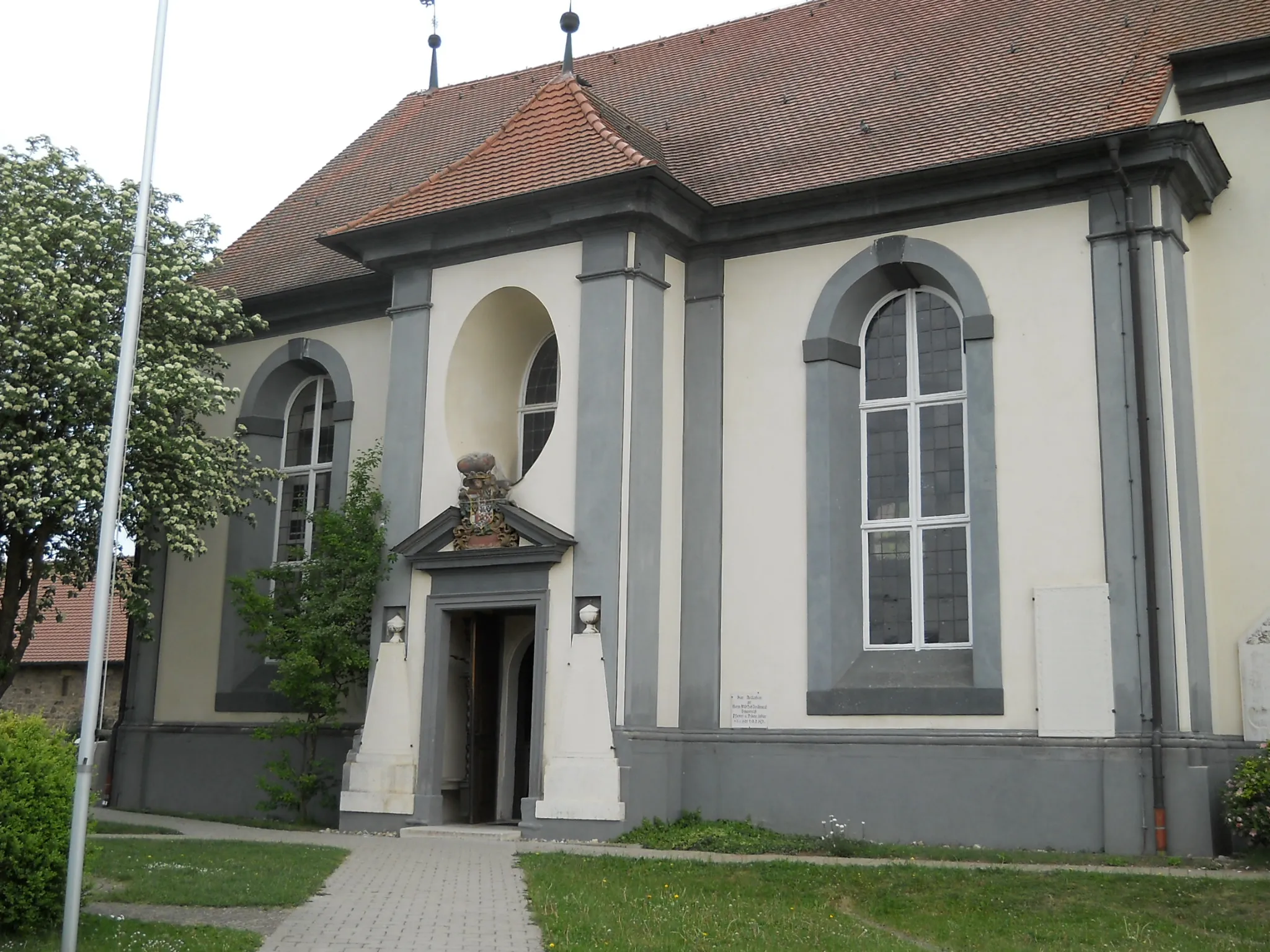
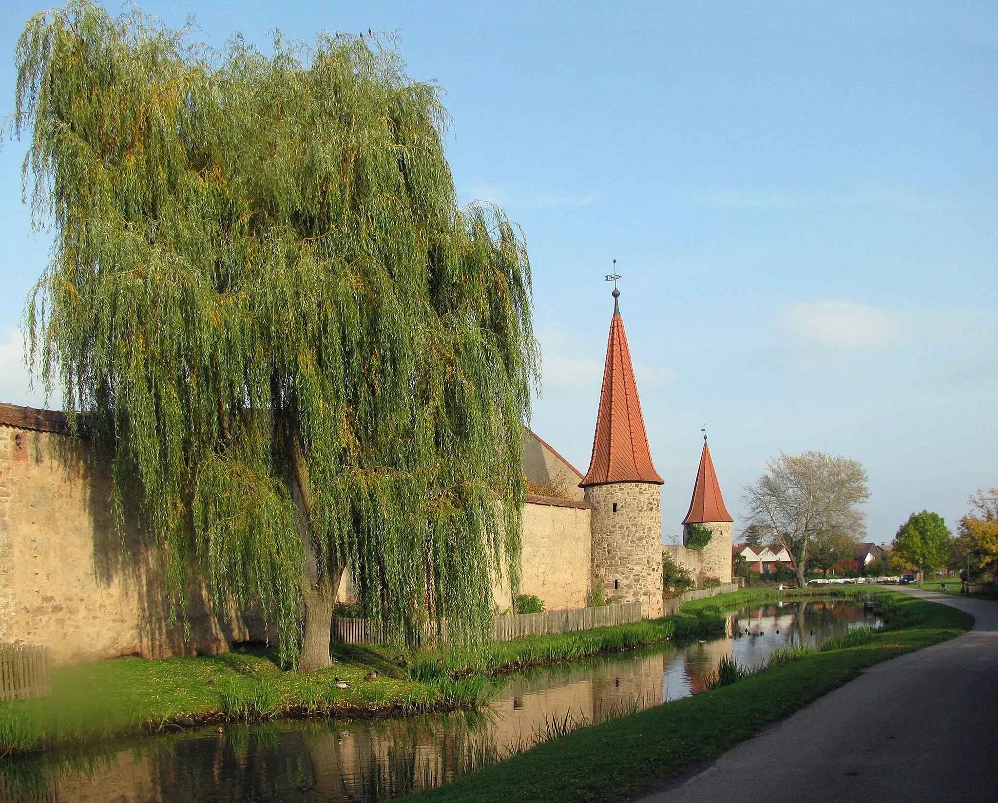
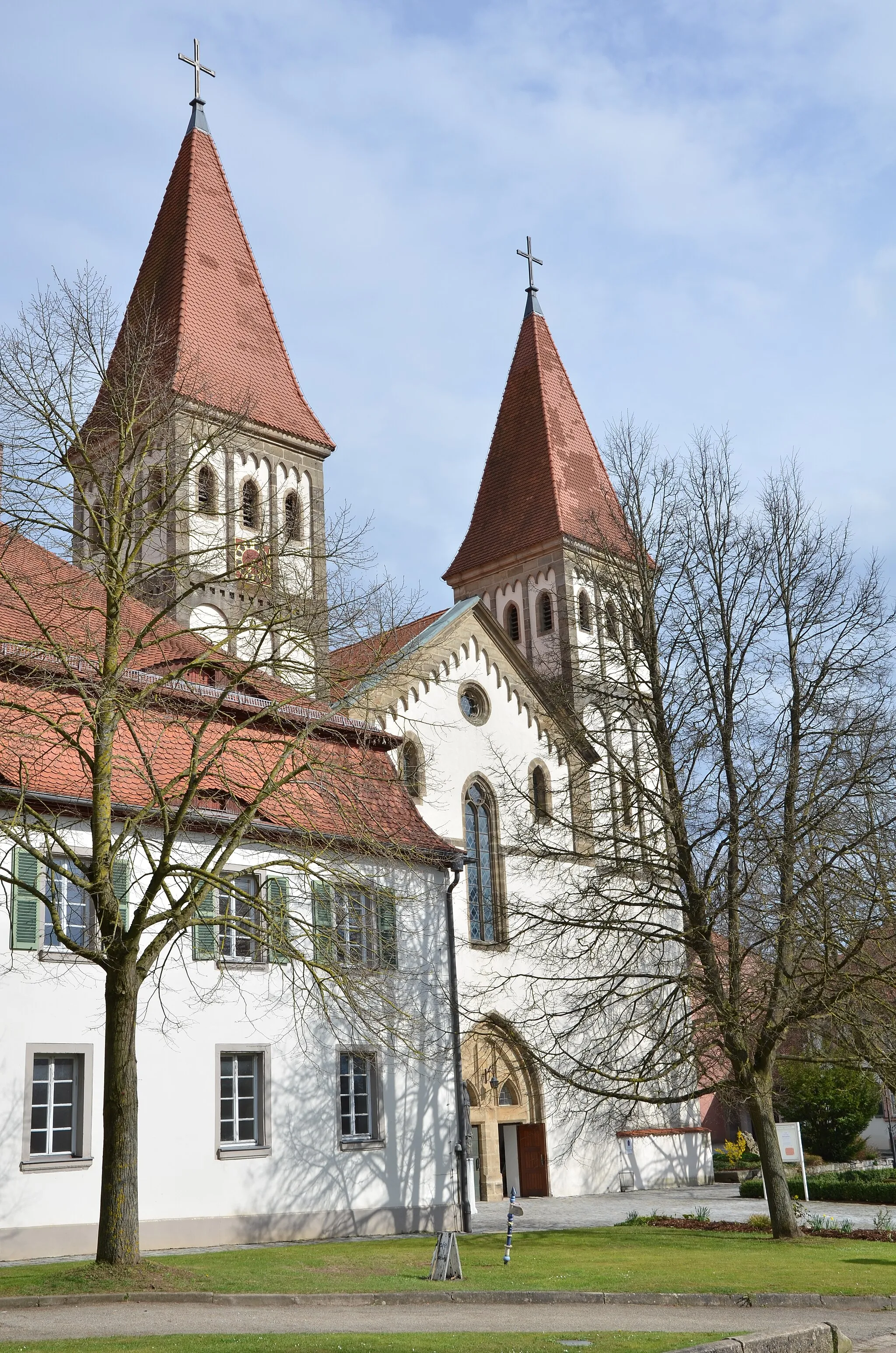
Picturesque landscapes and diverse cycling routes await you in Gunzenhausen.
Cycling routes from Gunzenhausen
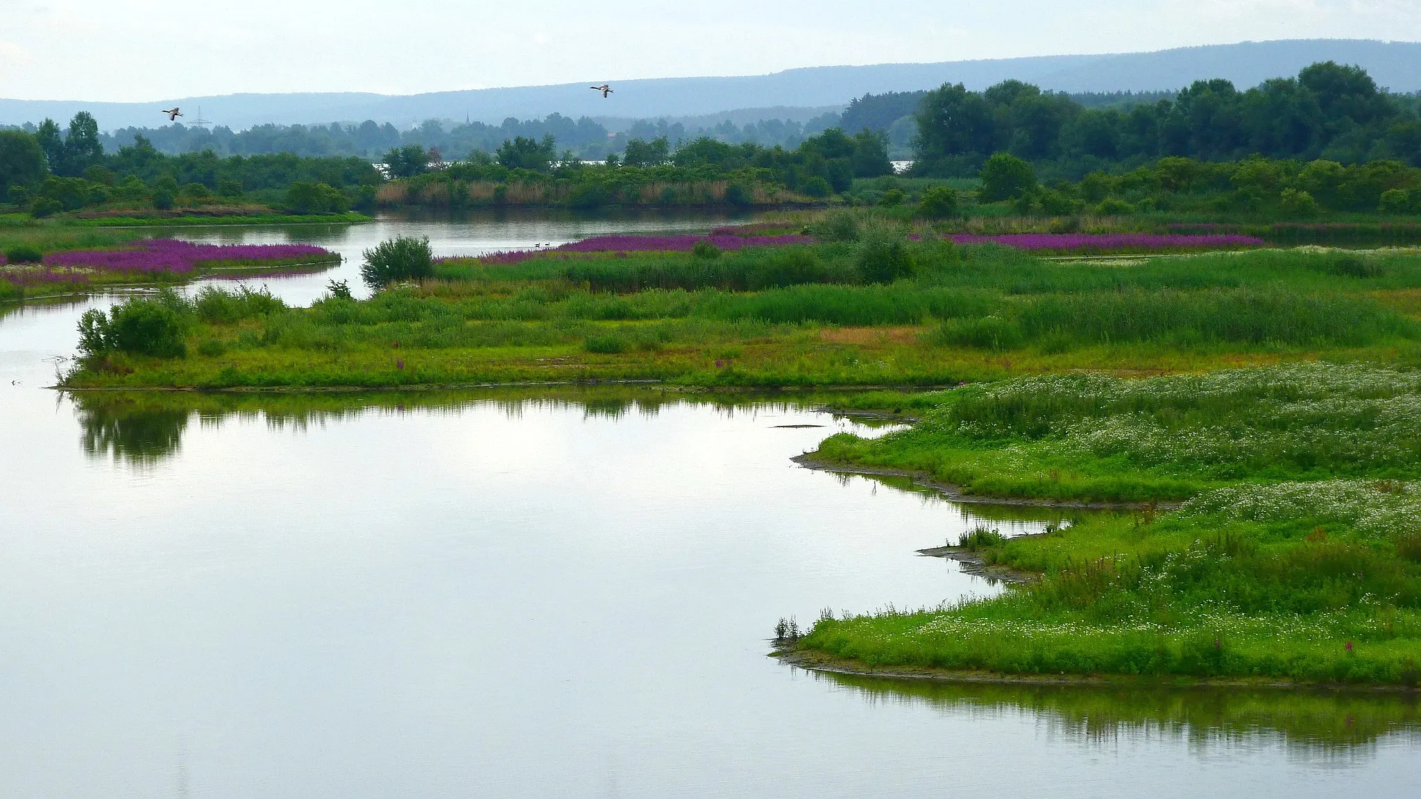
Located in Mittelfranken, Germany, Gunzenhausen is a charming locality with lots to offer road and gravel cyclists. The region boasts well-paved roads and a diverse range of cycling routes, making it ideal for exploring on two wheels. Gunzenhausen is surrounded by beautiful nature reserves, providing the perfect setting for peaceful rides through forests and meadows. Additionally, the locality is near Altmühl Valley Nature Park, which is known for its scenic beauty and picturesque cycling paths. Bike enthusiasts will appreciate the cycling-friendly infrastructure and breath-taking natural surroundings that Gunzenhausen has to offer.
Embark on a scenic road cycling adventure near Gunzenhausen
Explore the beautiful landscapes surrounding Gunzenhausen on this road cycling route. With a moderate difficulty level, it is suitable for well-trained amateurs looking for a challenge. The route stretches over 71 kilometers, with a total ascent of 502 meters. You will pass through charming villages and enjoy stunning countryside views along the way.
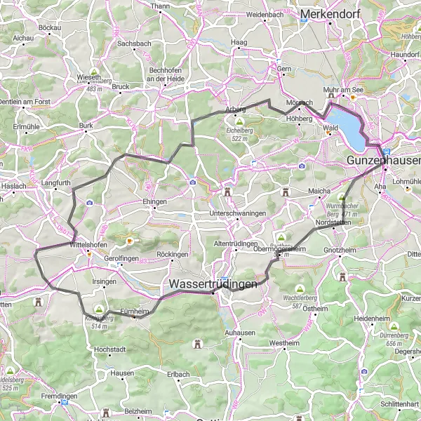
Experience the beauty of Gunzenhausen on this scenic road journey
Discover Gunzenhausen and its surrounding landscapes on this 93 km road cycling route. With a total ascent of 649 meters, this adventure offers breathtaking views and a moderate level of difficulty. Highlights you'll encounter along the way include Gnotzheim, Nonnenberg, Fremdingen, Keltenschanze, and Schafbuck. Immerse yourself in the diverse sceneries, from rolling hills to serene lakeshores, and soak in the rich history and culture of the region. This route is perfect for cyclists looking for a mix of challenging climbs and scenic beauty.
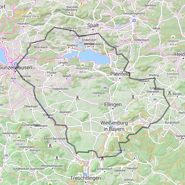
The Spalt Adventure

Embark on an exciting gravel ride to the picturesque town of Spalt and discover its hidden gems.
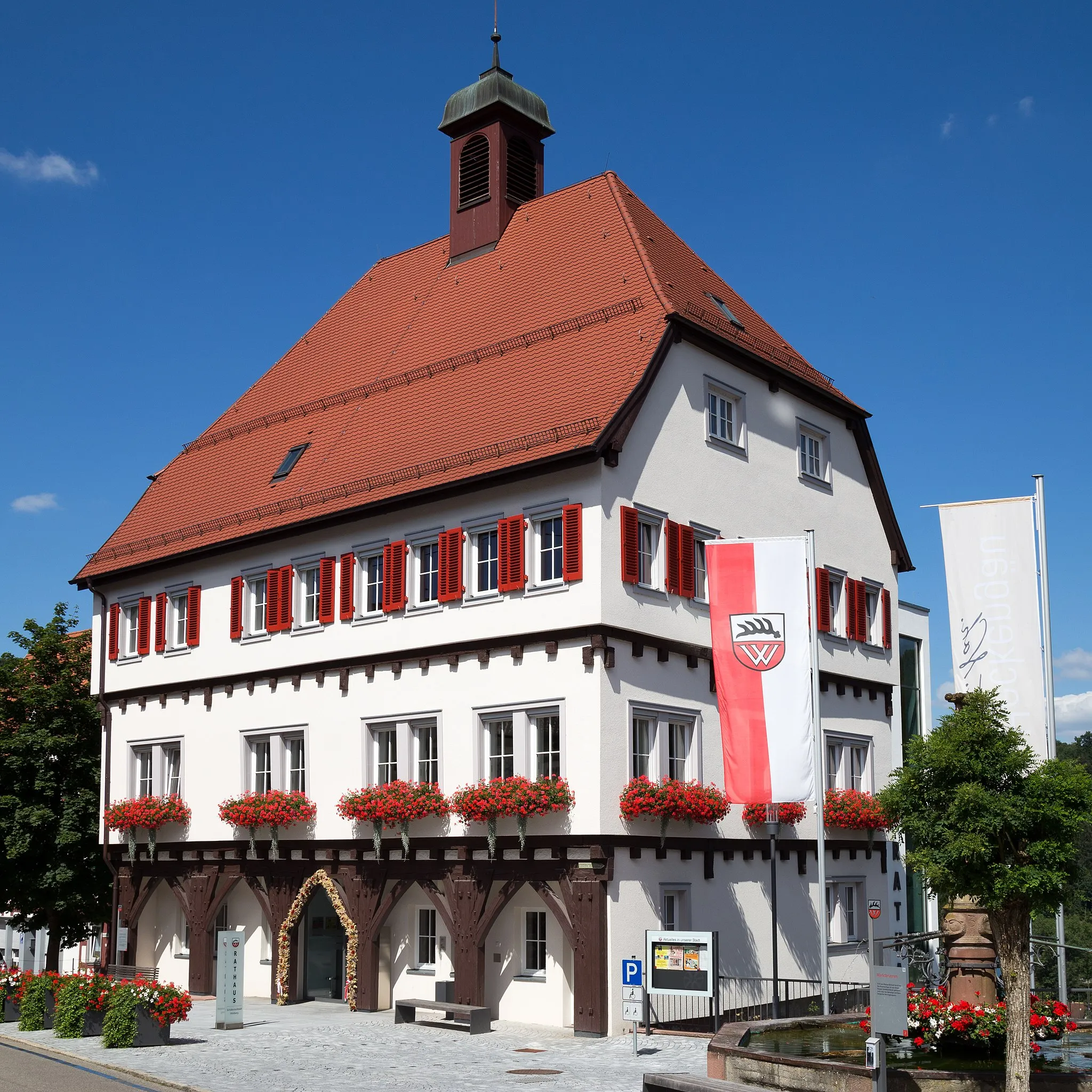
Explore the hidden gems of the beautiful town of Spalt on this thrilling gravel adventure. With a total ascent of 437 meters and a distance of 42 kilometers, this route offers the perfect blend of challenging terrain and scenic beauty. Start your journey in Gunzenhausen and make your way to Reckenberg, where you can enjoy panoramic views of the surrounding countryside. Continue on to Bärenberg and immerse yourself in the tranquil atmosphere of this charming village. As you reach Spalt, take the time to explore its historic center and visit the iconic Färberturm tower.
Embark on a scenic road cycling adventure with historical highlights near Gunzenhausen
Discover the scenic beauty and rich history of the region surrounding Gunzenhausen on this road cycling route. With a total distance of 83 kilometers and an ascent of 690 meters, this journey is suitable for experienced cyclists seeking a mix of challenging terrain and historical landmarks. Admire picturesque landscapes and immerse yourself in the fascinating stories of the places you'll encounter along the way.
Gunzenhausen Round Trip
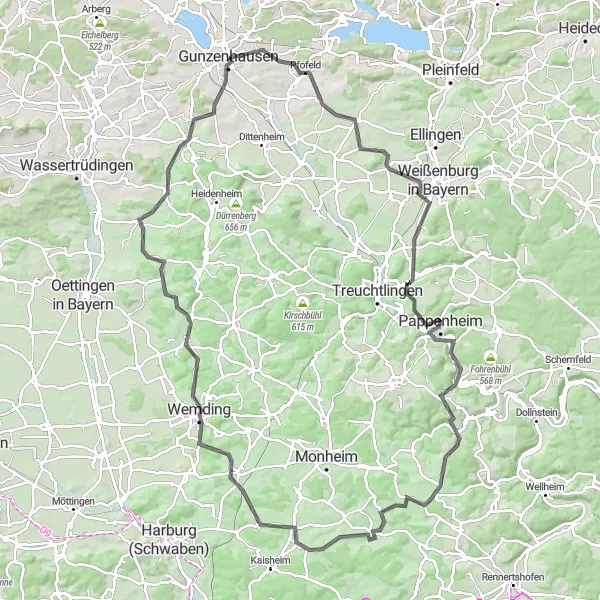
Scenic road cycling experience near Gunzenhausen
This round trip starting near Gunzenhausen takes you through picturesque scenery and offers a challenging cycling experience. The route covers a distance of 118 km with a total ascent of 1,353 meters. It is suitable for road biking enthusiasts looking for a scenic adventure. The route passes through several highlights along the way, including Pfofeld, Flüglinger Berg, Burg Pappenheim, and Tagmersheim. Overall, this route offers a rewarding cycling experience with stunning views and a mix of challenging terrains.

Conquer some impressive hills on this road cycling route near Gunzenhausen
Get ready for an exhilarating road cycling experience near Gunzenhausen. This route will test your climbing skills with a total ascent of 711 meters over 80 kilometers. The challenging nature of the terrain makes it ideal for experienced cyclists seeking an adrenaline rush. Along the way, you'll pass through stunning landscapes and enjoy breathtaking views of the surrounding hills and valleys.
Conquer the challenging terrain and stunning landscapes around the iconic Brombachsee on this epic gravel ride.
Get ready for an epic gravel adventure around the legendary Brombachsee. With a total ascent of 908 meters and a distance of 90 kilometers, this route is perfect for experienced gravel riders looking for a challenging and rewarding ride. Start your journey in Gunzenhausen and make your way to Frickenfelden, where you can enjoy beautiful views of the surrounding countryside. As you continue on, be prepared for the stunning scenery of Großer Brombachsee, one of the largest reservoirs in Germany. Take a break in Nennslingen and soak in the peaceful atmosphere of this charming village. The route takes you through historical spots like the Roman watchtower at Römischer Wachturm (Limes) and the picturesque village of Lengenfeld. Finish your adventure in Windsfeld, where you can relax and celebrate your achievement.
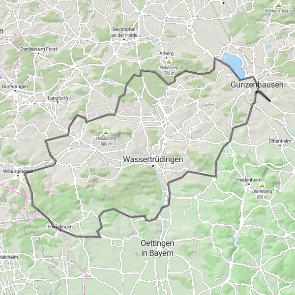
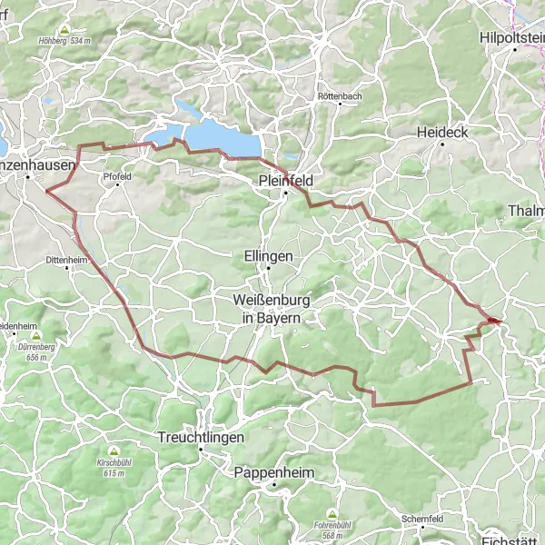
The Watertrüdingen Loop
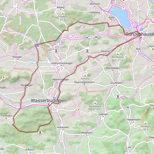
Discover the scenic beauty of Watertrüdingen on this adventurous gravel ride near Gunzenhausen.
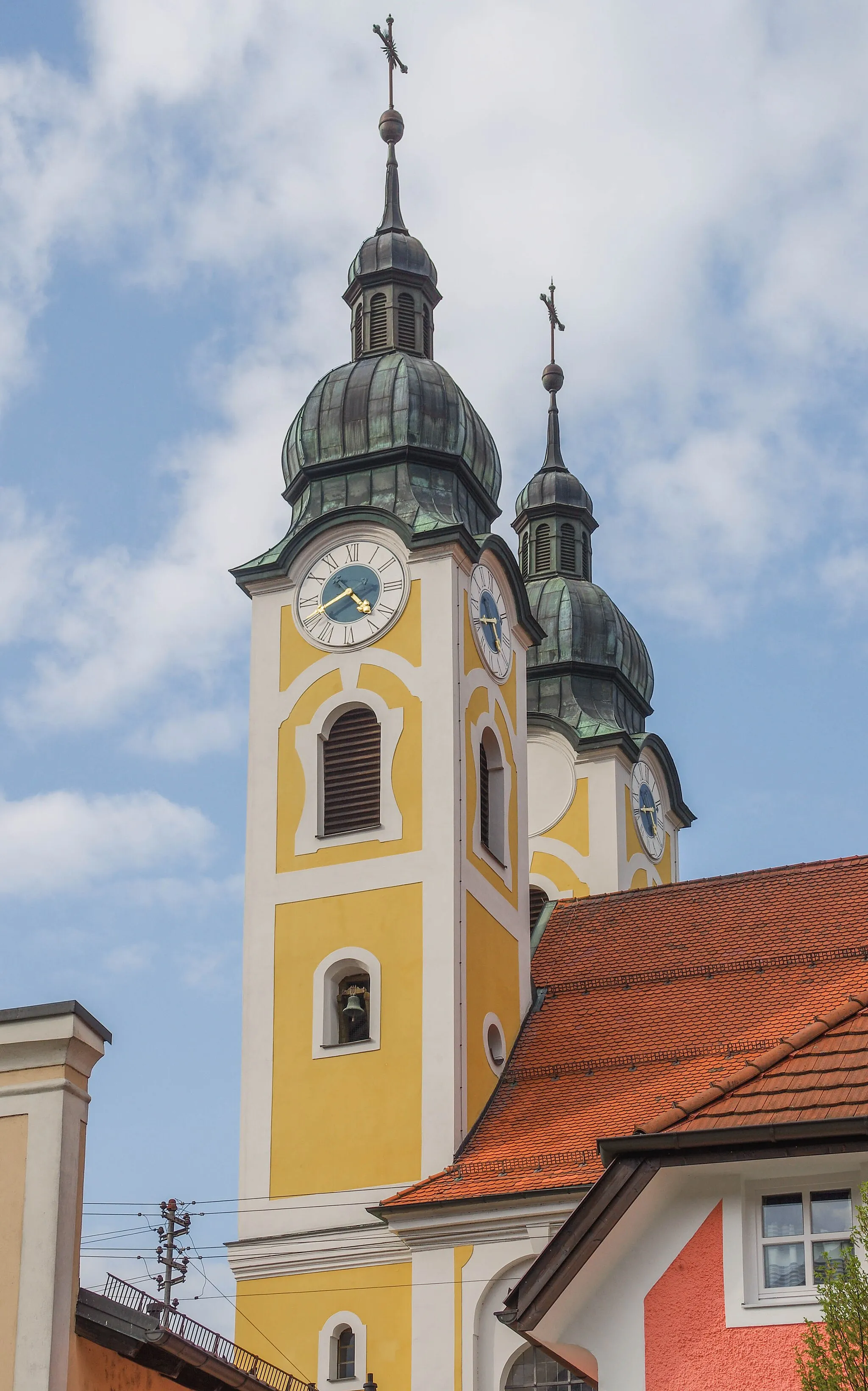
Experience the natural beauty of the Watertrüdingen region as you tackle this gravel loop. With a total ascent of 421 meters and a distance of 55 kilometers, this route offers a challenging yet rewarding adventure for gravel enthusiasts. Start your journey in Gunzenhausen and make your way to the stunning Wurmbacher Berg, where you can enjoy breathtaking views of the surrounding landscape. Continue on to Wassertrüdingen and explore the town's historical landmarks, including the picturesque Market Square. As you ride through Röckingen, take a moment to admire the impressive Römischer Wachturm Wp 13/38, a Roman watchtower from the Limes era. Finish your ride by cycling alongside the scenic shores of Altmühlsee, a popular destination for outdoor activities.
The Northern Gravel Loop

Explore the picturesque villages of Großweingarten and Georgensgmünd on this challenging gravel loop near Gunzenhausen.
Discover the beauty of the countryside around Gunzenhausen as you tackle this challenging gravel loop. The route takes you through the charming villages of Großweingarten and Georgensgmünd, where you can immerse yourself in the rich local history and admire the traditional architecture. With a total ascent of 631 meters and a distance of 69 kilometers, this route is perfect for experienced gravel riders looking for a scenic adventure.

Embark on an epic gravel cycling adventure with stunning lake views near Gunzenhausen
Prepare for an unforgettable gravel cycling experience near Gunzenhausen. This epic route covers 76 kilometers with a total ascent of 695 meters and offers breathtaking views of the Großer Brombachsee. Suitable for experienced gravel cyclists, this tour combines challenging terrain with stunning natural landscapes, making it a true adrenaline-filled adventure.
Cycling routes nearby:

Nearby regions: