Peaceful base for cycling in Mittelfranken with scenic routes
Cycling routes from Heidenheim
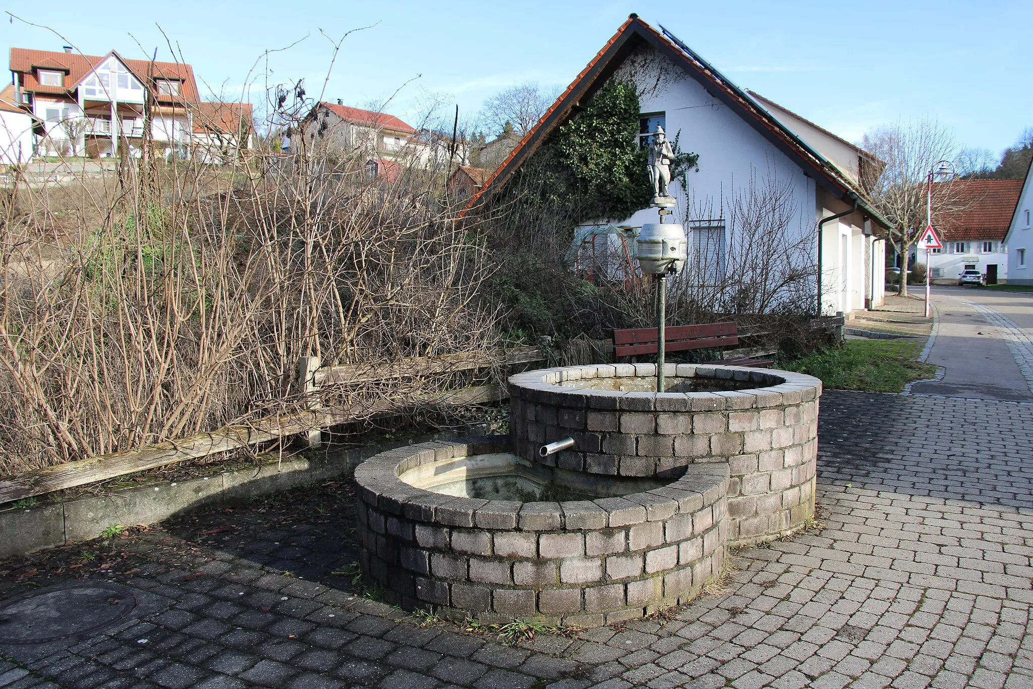
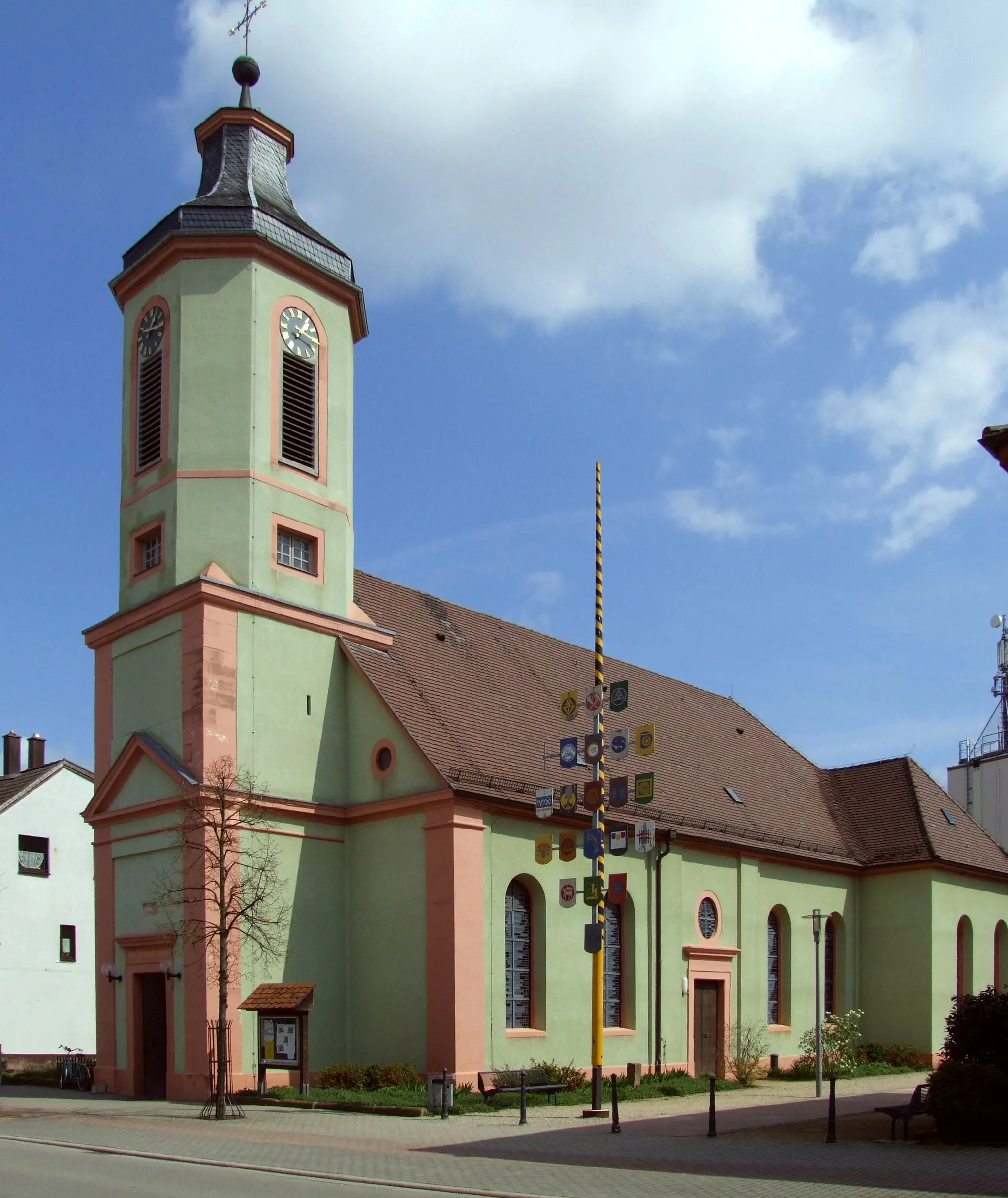
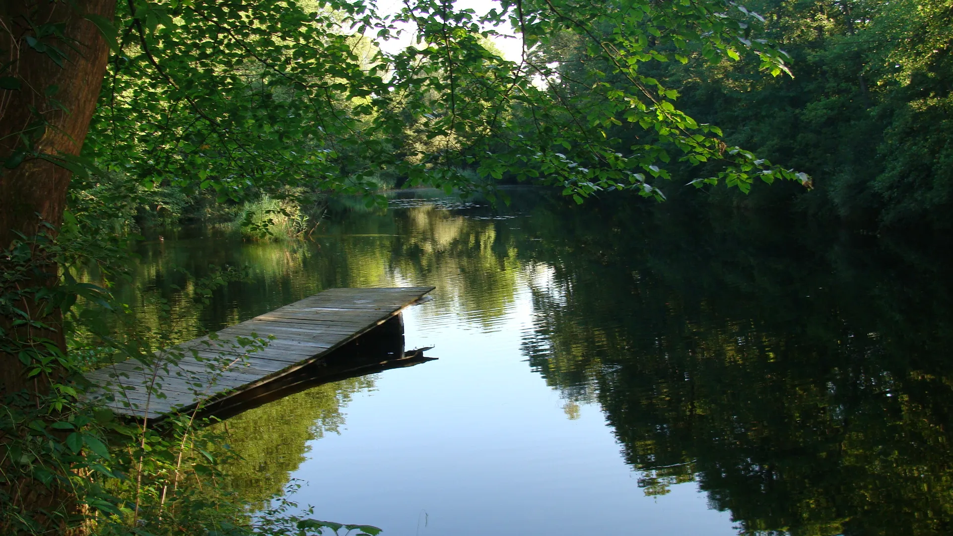
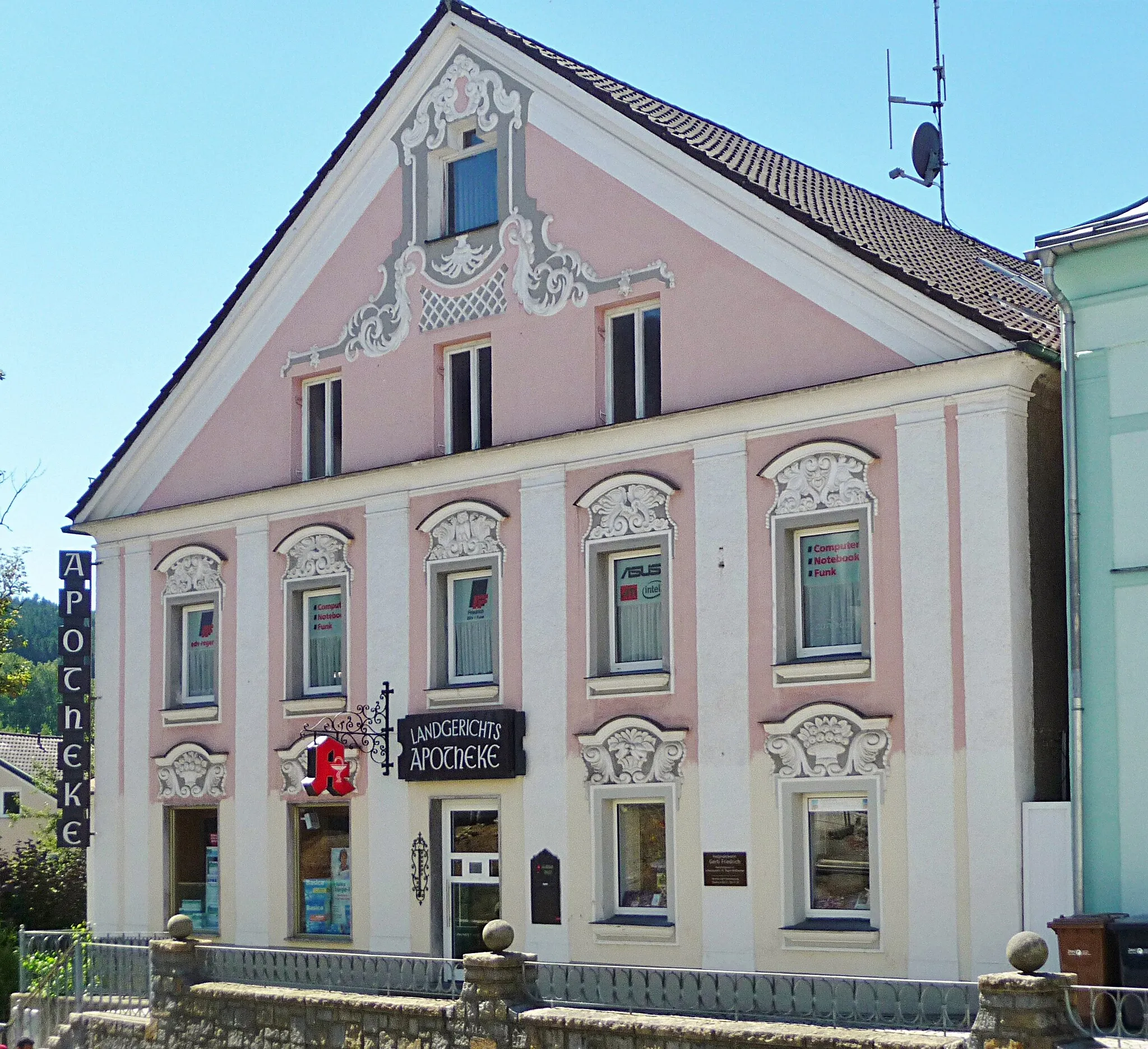
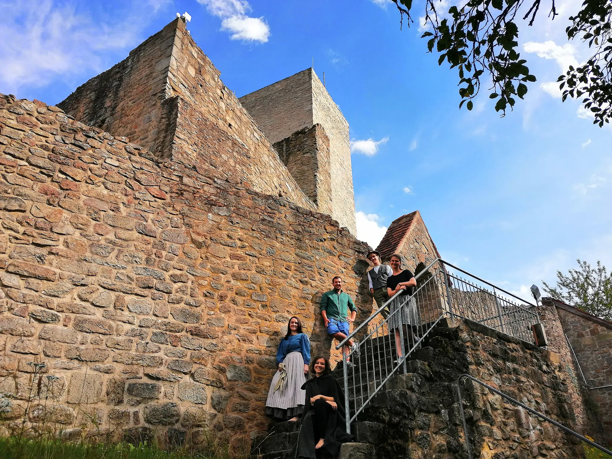
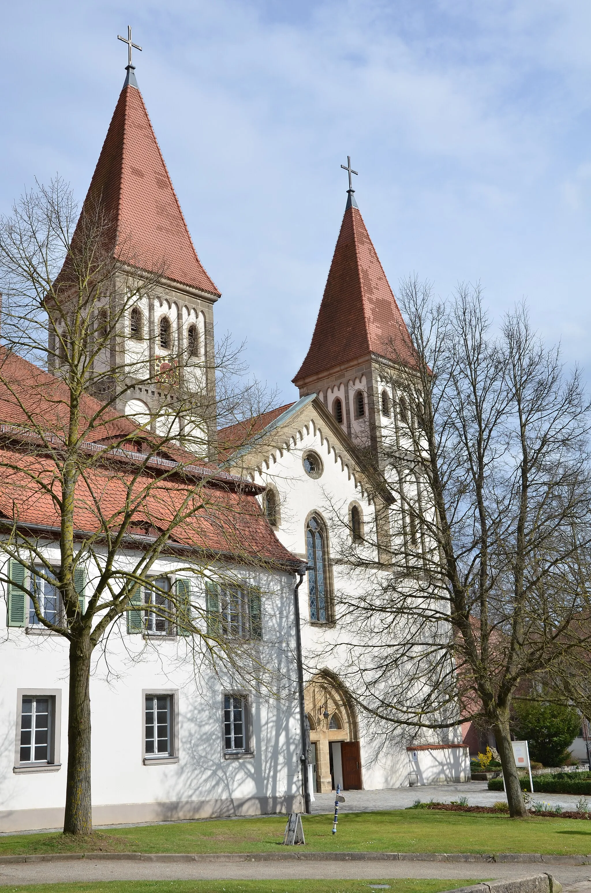
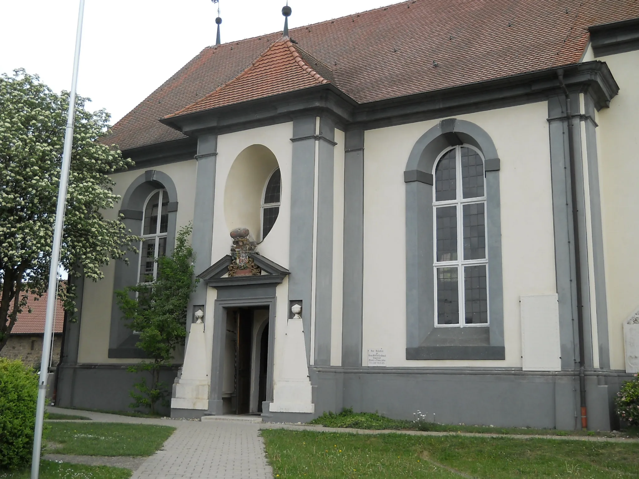
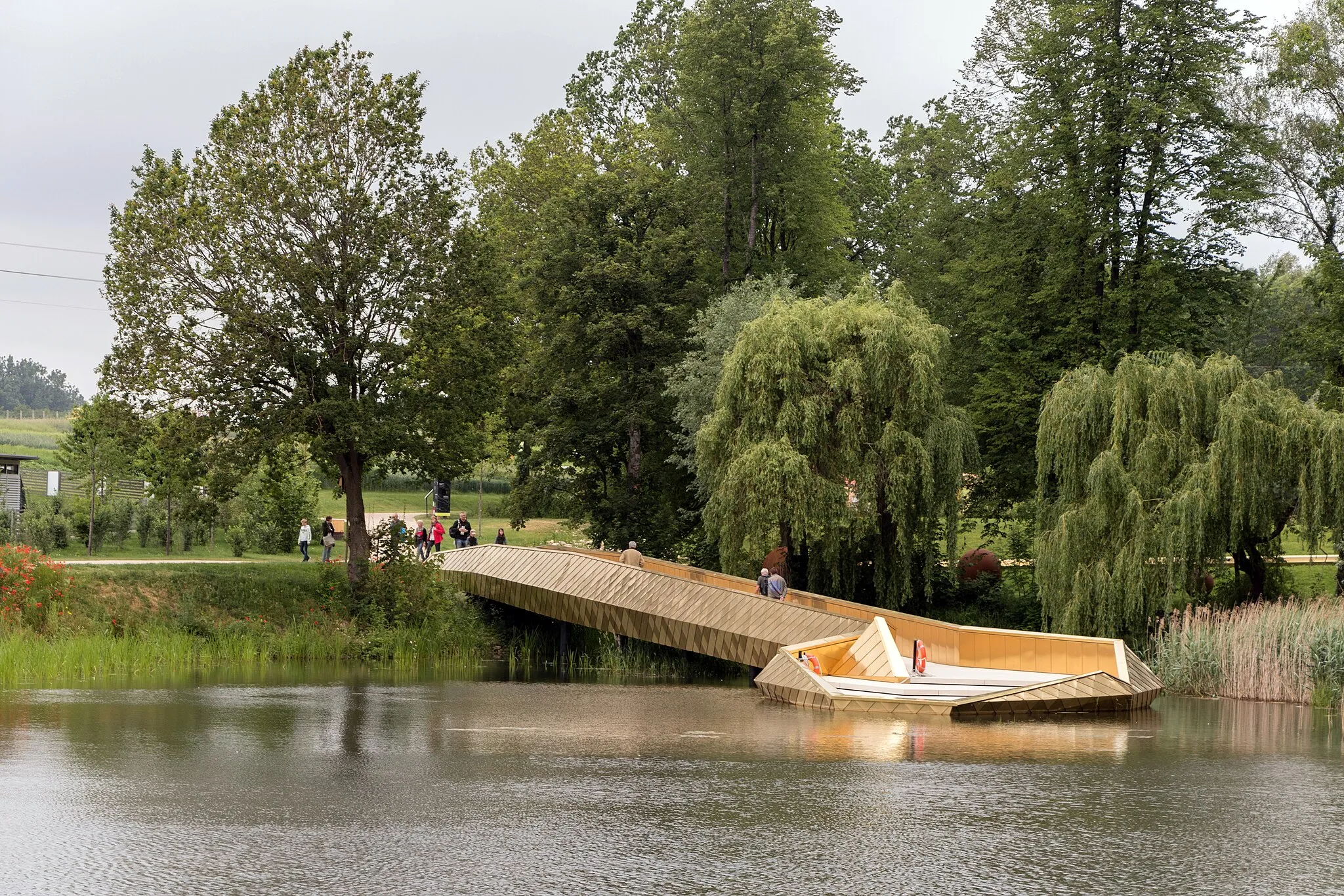
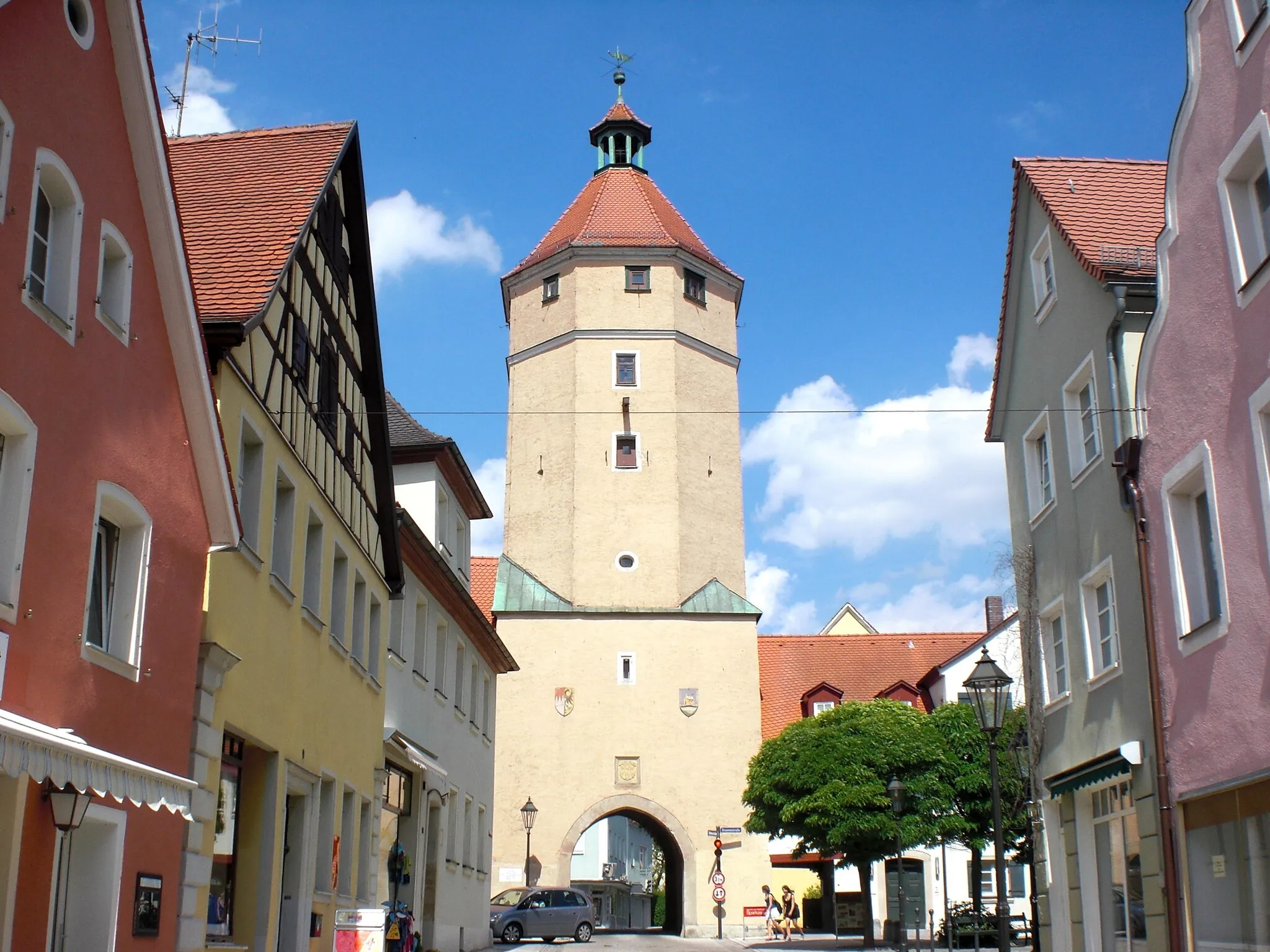
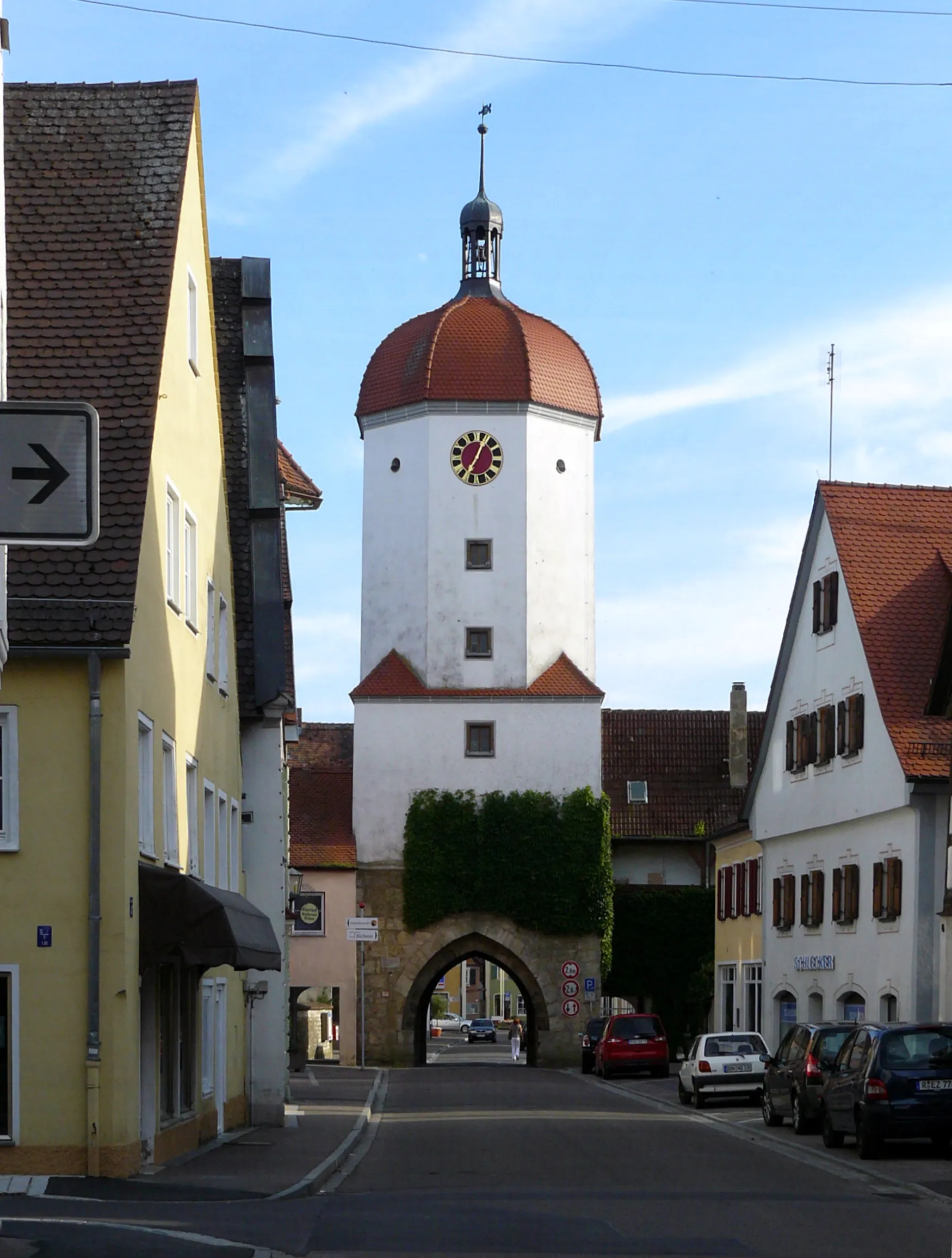
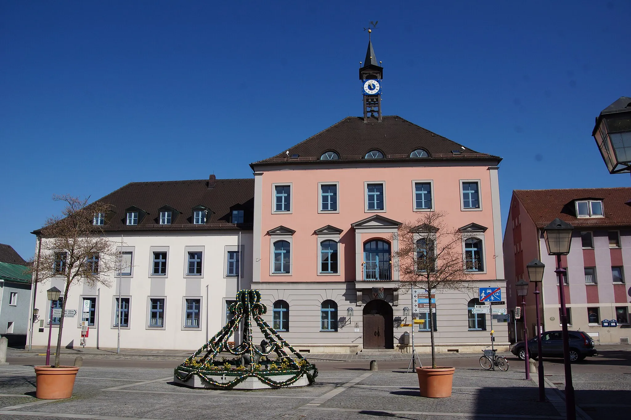
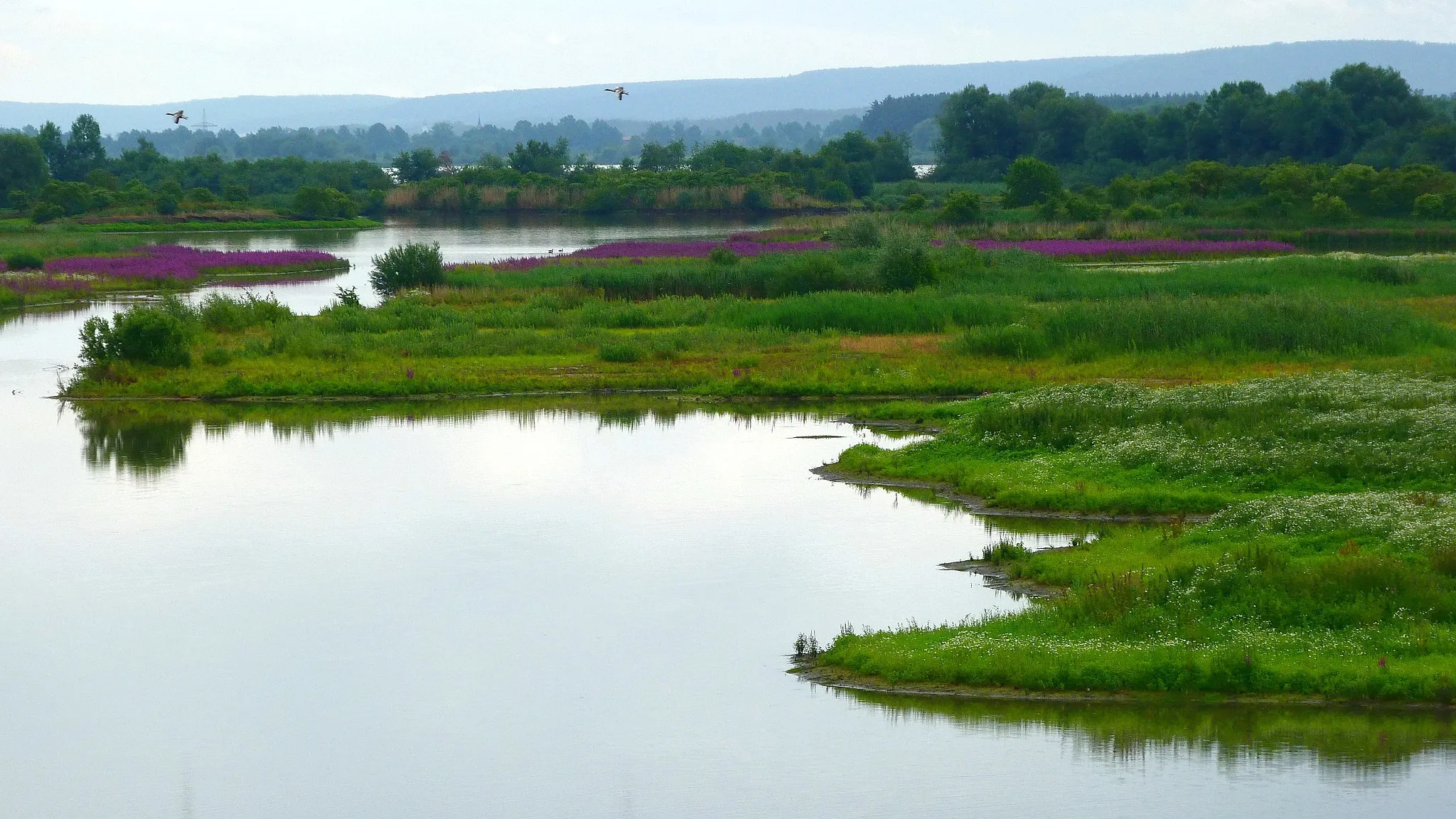
Heidenheim is a locality located in Mittelfranken, Germany. From a cyclist's perspective, Heidenheim offers rolling hills, peaceful country roads, and quaint villages to explore. It serves as an excellent base for road and gravel cyclists, with various scenic routes in the surrounding area. One notable cycling spot nearby is the Altmühl Valley, which provides stunning landscapes along the route. In addition to its cycling-friendly atmosphere, Heidenheim is also known for its rich history, making it an attractive destination for cyclists interested in both outdoor activities and cultural experiences.

Embark on a 40-kilometer gravel adventure near Heidenheim
Uncover hidden gems and scenic trails on this 40-kilometer gravel route near Heidenheim. With an elevation gain of 468 meters, it offers a moderate challenge for gravel enthusiasts. Along the way, you'll pass through quaint villages and enjoy breathtaking views of the surrounding countryside.
Get ready for a scenic ride through the rolling meadows of Mittelfranken
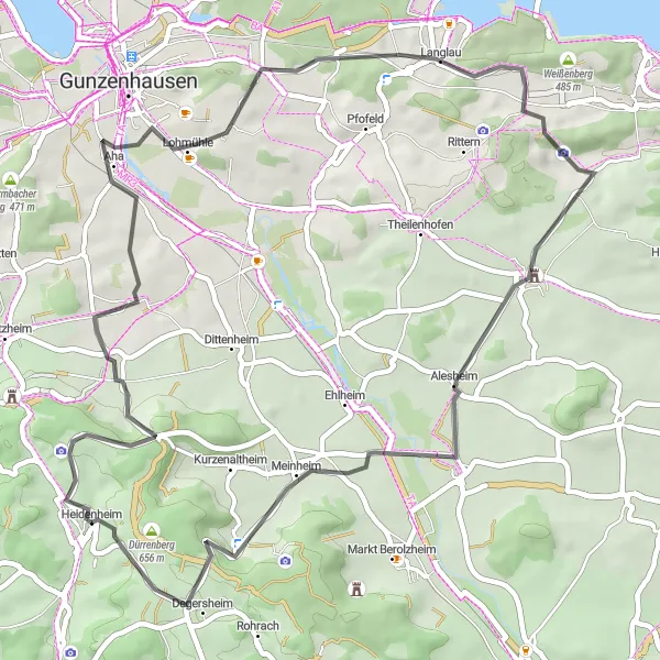
Experience the beauty of Mittelfranken's rolling meadows on this 51-kilometer round-trip cycling route. Starting near Heidenheim, the route features a total ascent of 629 meters, making it suitable for cyclists of all levels. Highlights include Gelber Berg, Sammenheim, and Gundelshalm, offering picturesque views and a chance to connect with nature. Admire the charm of Alesheim and Meinheim, before ending your journey in Dürrenberg with its scenic vineyards and peaceful atmosphere. With a difficulty rating of 1 and an epicness score of 2, this route is perfect for beginners or those seeking a leisurely ride through the picturesque landscapes of Mittelfranken.
Conquer the rugged terrains of Mittelfranken on a 57-kilometer gravel route
Prepare yourself for an epic adventure on this 57-kilometer gravel circuit near Heidenheim. With an elevation gain of 791 meters, this route is ideal for experienced gravel cyclists seeking a challenging and unforgettable experience. From rugged terrains to scenic countryside, this ride has it all.

Embark on a 94-kilometer epic cycling journey in Mittelfranken
Get ready for an epic adventure with this 94-kilometer gravel loop near Heidenheim. With an elevation gain of 824 meters, this route is perfect for cyclists seeking a challenge. From the vast landscapes to the historic towns along the way, this ride showcases the best of what Mittelfranken has to offer.
The Gravel Adventure

Experience the thrill of gravel cycling in Mittelfranken
This round-trip cycling route near Heidenheim takes you on an exciting adventure through the gravel paths and scenic countryside of Mittelfranken. With a total distance of 49 kilometers and an ascent of 518 meters, this route offers a challenging yet rewarding experience for gravel enthusiasts. You'll be captivated by the stunning nature and charming towns along the way.
Heidenheim Road Cycling
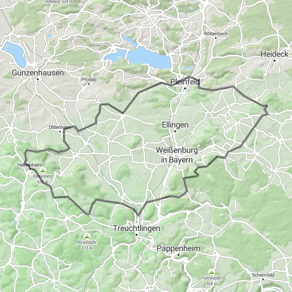
Experience the exhilarating Gelber Berg climb and explore the beautiful towns of Dittenheim and Ellingen.
This road cycling route near Heidenheim takes you on a scenic journey through picturesque towns and challenging climbs. With a total ascent of 930 meters and a distance of 69 kilometers, this route is perfect for intermediate to advanced riders looking for a challenge. The highlights along the route include the famous Gelber Berg climb, the charming towns of Dittenheim and Ellingen, and the historic Wülzburg castle. Overall, this route offers a great mix of natural beauty, cultural attractions, and thrilling riding experiences.
Heidenheim Road Adventure

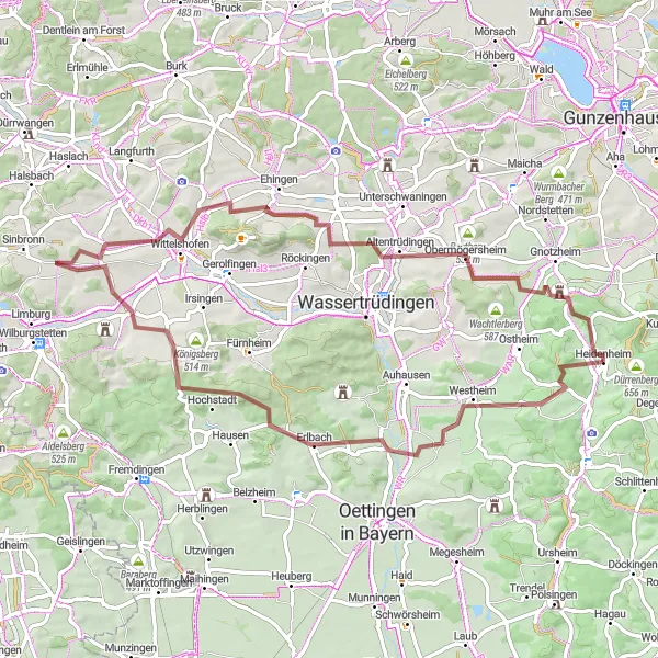
Embark on a thrilling road cycling adventure amidst stunning landscapes and historic towns.
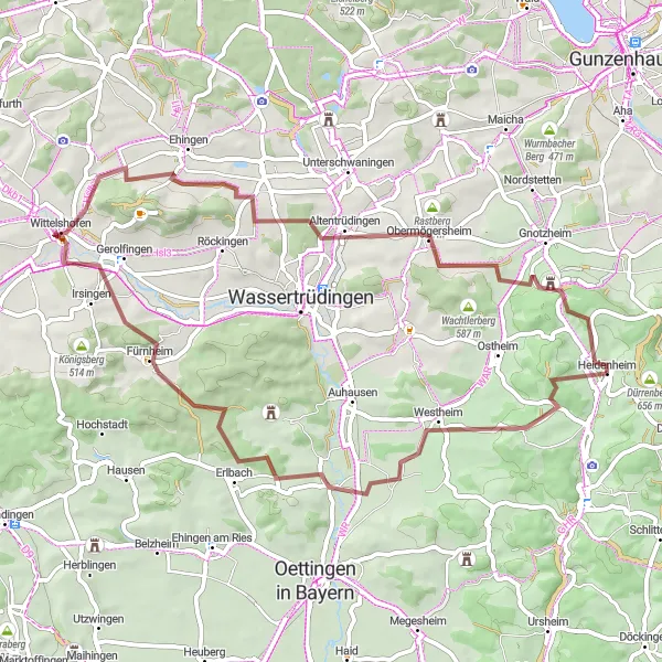
This road cycling adventure near Heidenheim offers a mix of challenging climbs, scenic countryside, and cultural attractions. With a total ascent of 895 meters and a distance of 65 kilometers, this route is suitable for intermediate to advanced riders looking for a shorter but intense ride. Highlights along the route include the historic Dürrenberg Castle, the picturesque town of Markt Berolzheim, and the natural beauty of Langenaltheim. Cyclists will also pass through the charming villages of Wolferstadt and Schlittenhart, adding a touch of traditional Bavarian atmosphere to the ride. Overall, this route promises an exciting and diverse cycling experience with plenty of opportunities for exploration.
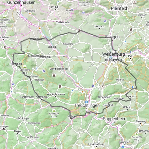
A thrilling ride through the rolling hills of Mittelfranken
This round-trip cycling route starting near Heidenheim takes you on a scenic adventure through the charming landscapes of Mittelfranken. With a total ascent of 1,531 meters and a distance of 121 kilometers, it's suitable for experienced cyclists and promises breathtaking views of the Swabian Mini Alps. The route passes through highlights such as Gelber Berg, Dittenheim, Pfofeld, and Treuchtlingen, providing an opportunity to soak in the natural beauty of the region. With a difficulty rating of 3 and an epicness score of 4, this route offers a thrilling and memorable cycling experience for enthusiasts of all levels.
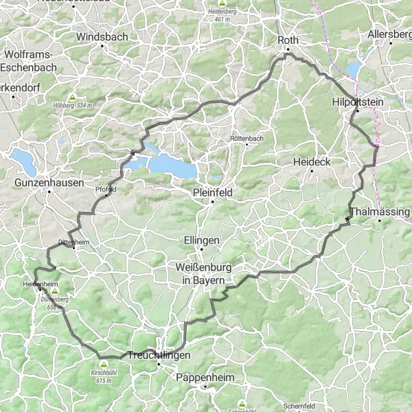
Discover the beauty of Gelber Berg and explore charming towns on this scenic road cycling route.
This scenic road cycling route near Heidenheim showcases the natural beauty and cultural heritage of the Mittelfranken region. With an ascent of 1078 meters and a distance of 82 kilometers, this route is suitable for experienced riders seeking a combination of challenging climbs and picturesque scenery. The highlights along the route include the famous Gelber Berg climb, the charming town of Theilenhofen, and the panoramic viewpoint at the Fossa Carolina. Cyclists will also pass through the historic towns of Pleinfeld and Treuchtlingen, offering glimpses into the region's rich history. Overall, this route promises a memorable cycling experience amidst stunning landscapes and charming towns.
Gravel Cycling Adventure
Experience the thrilling gravel cycling adventure near Heidenheim
Explore the scenic routes near Heidenheim as you embark on an exciting gravel cycling adventure. With a total distance of 68 kilometers and an ascent of 806 meters, this route offers a challenging and rewarding experience for well-trained amateurs. Get ready to discover hidden gems and breathtaking landscapes as you pedal through picturesque villages and vibrant countryside.
Cycling routes nearby:

Nearby regions: