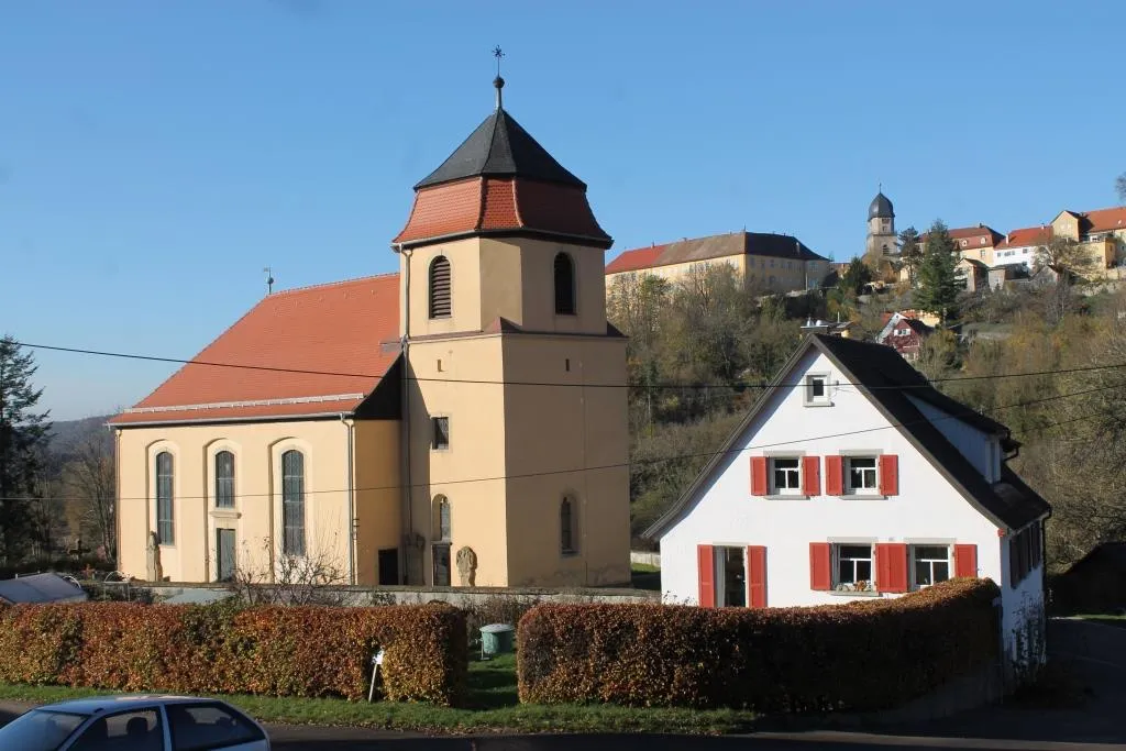
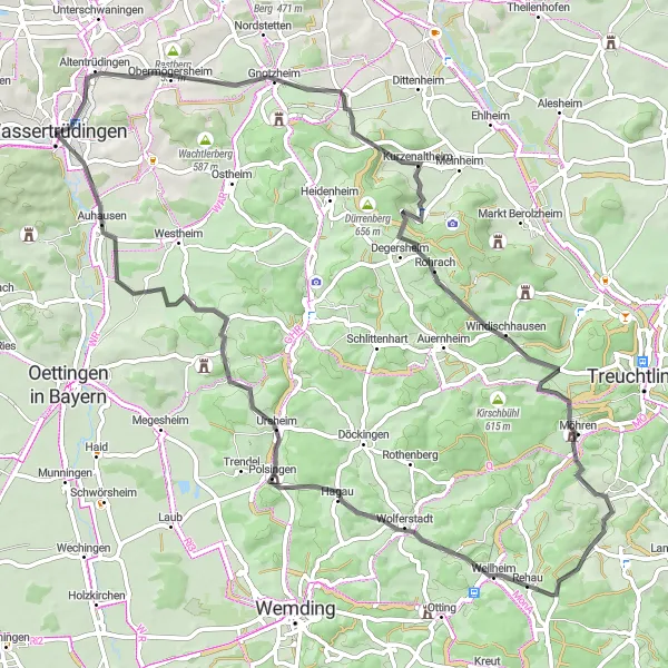
A hidden gem for peaceful cycling in Wassertrüdingen.
Cycling routes from Wassertrudingen
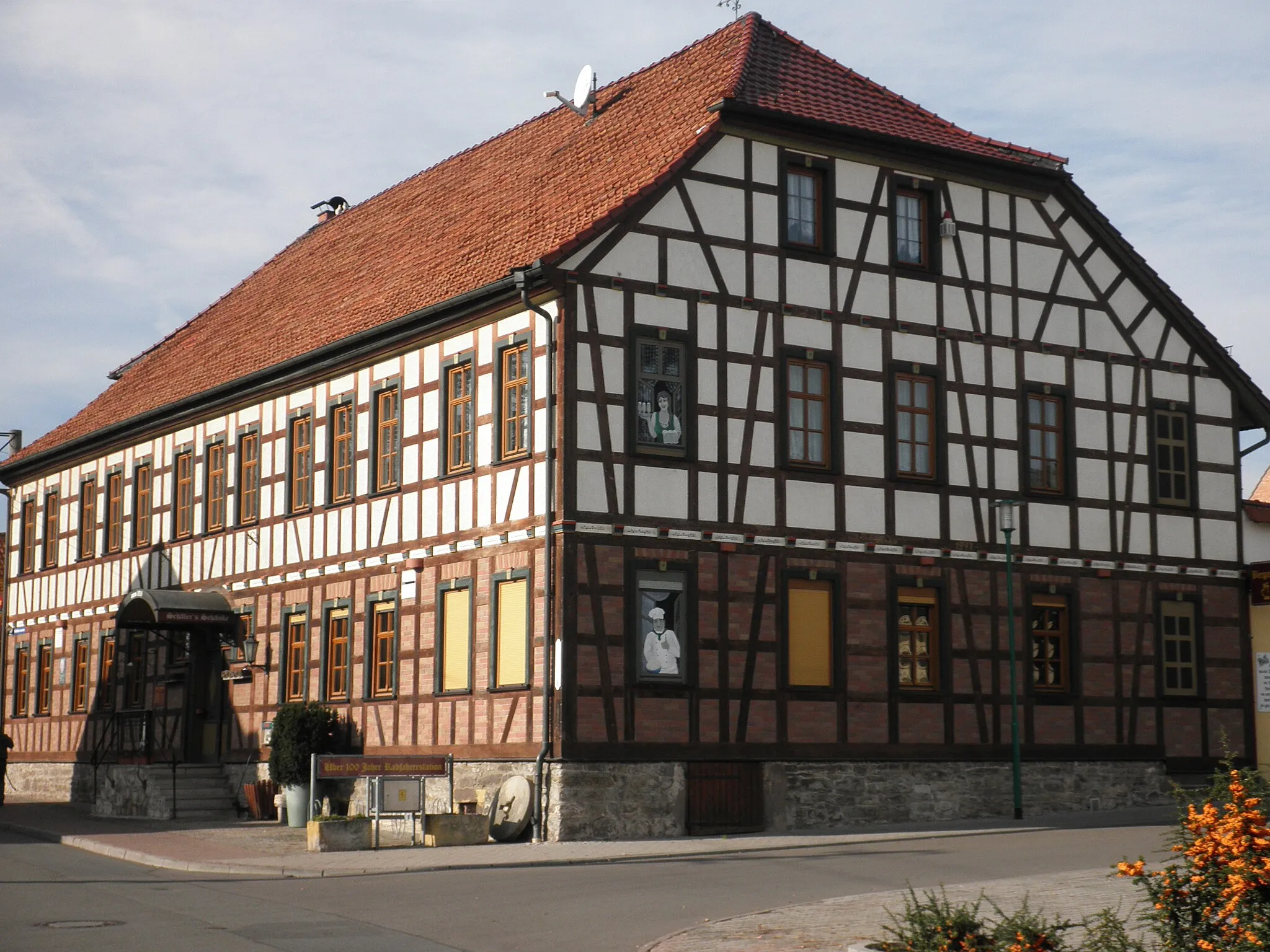
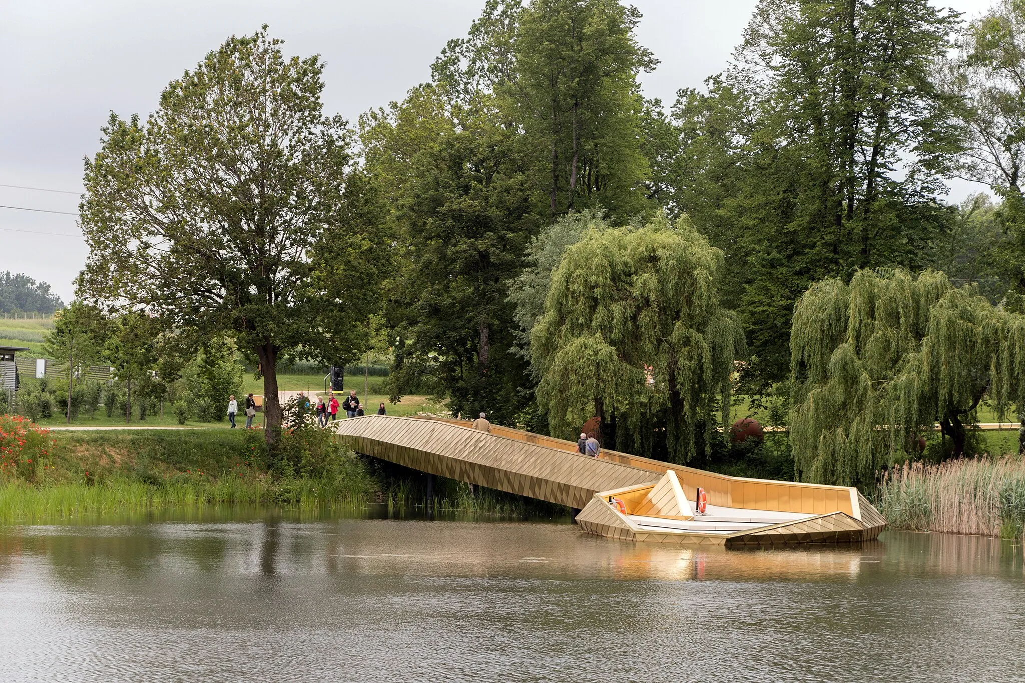
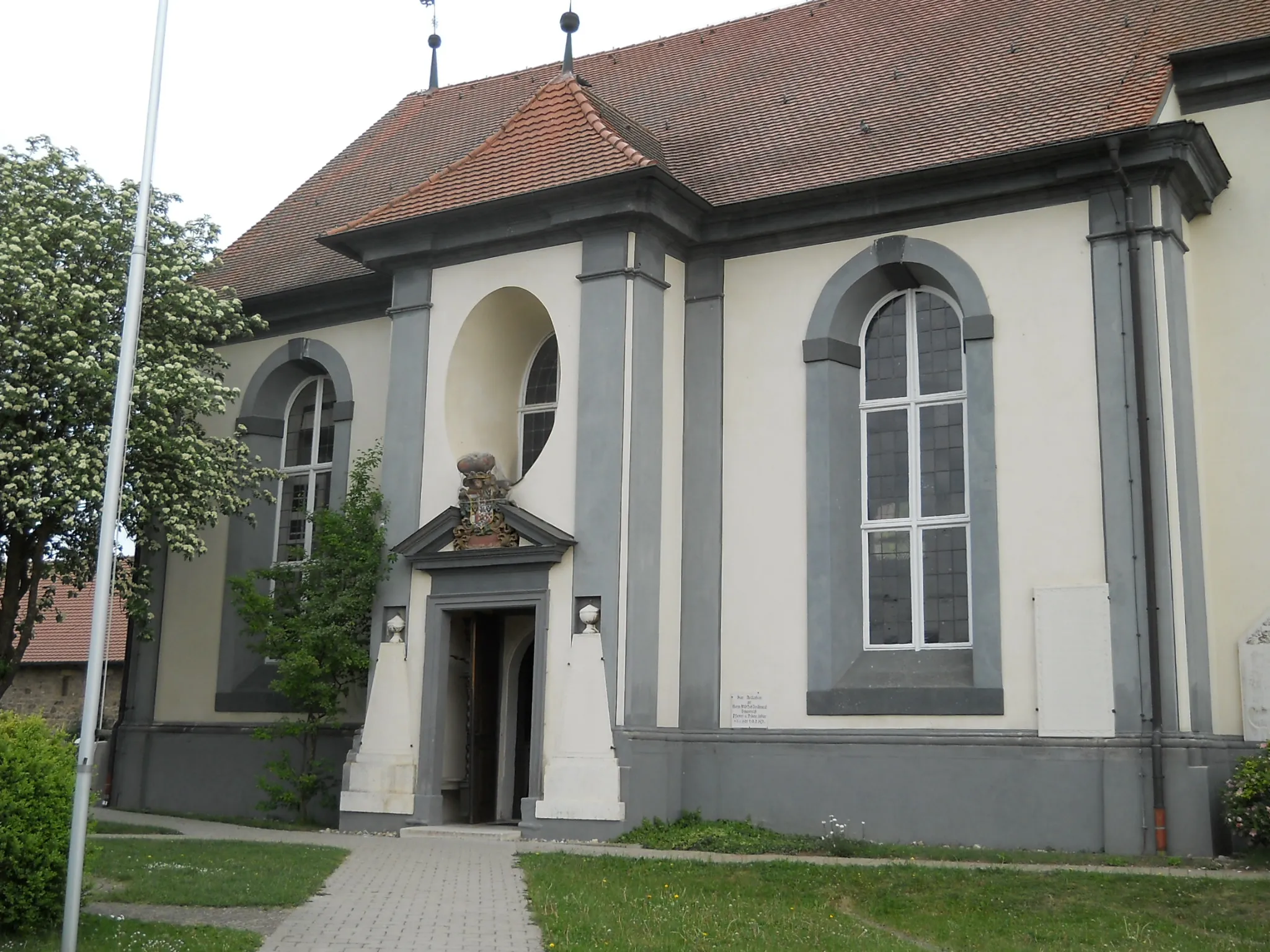
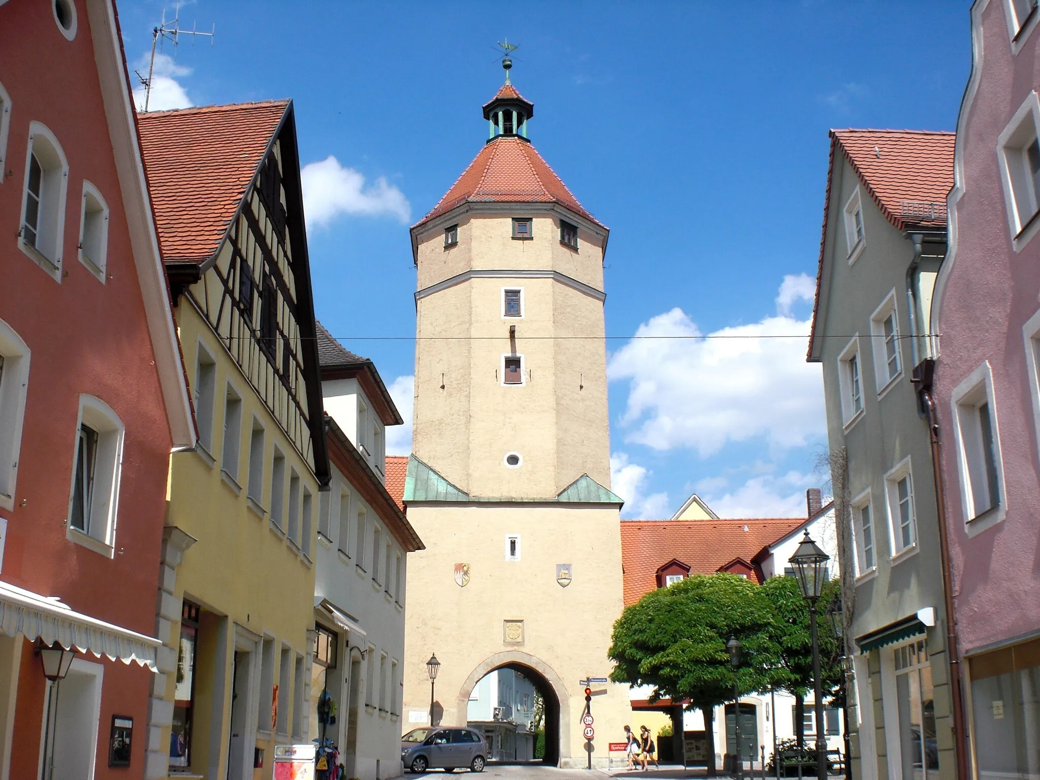
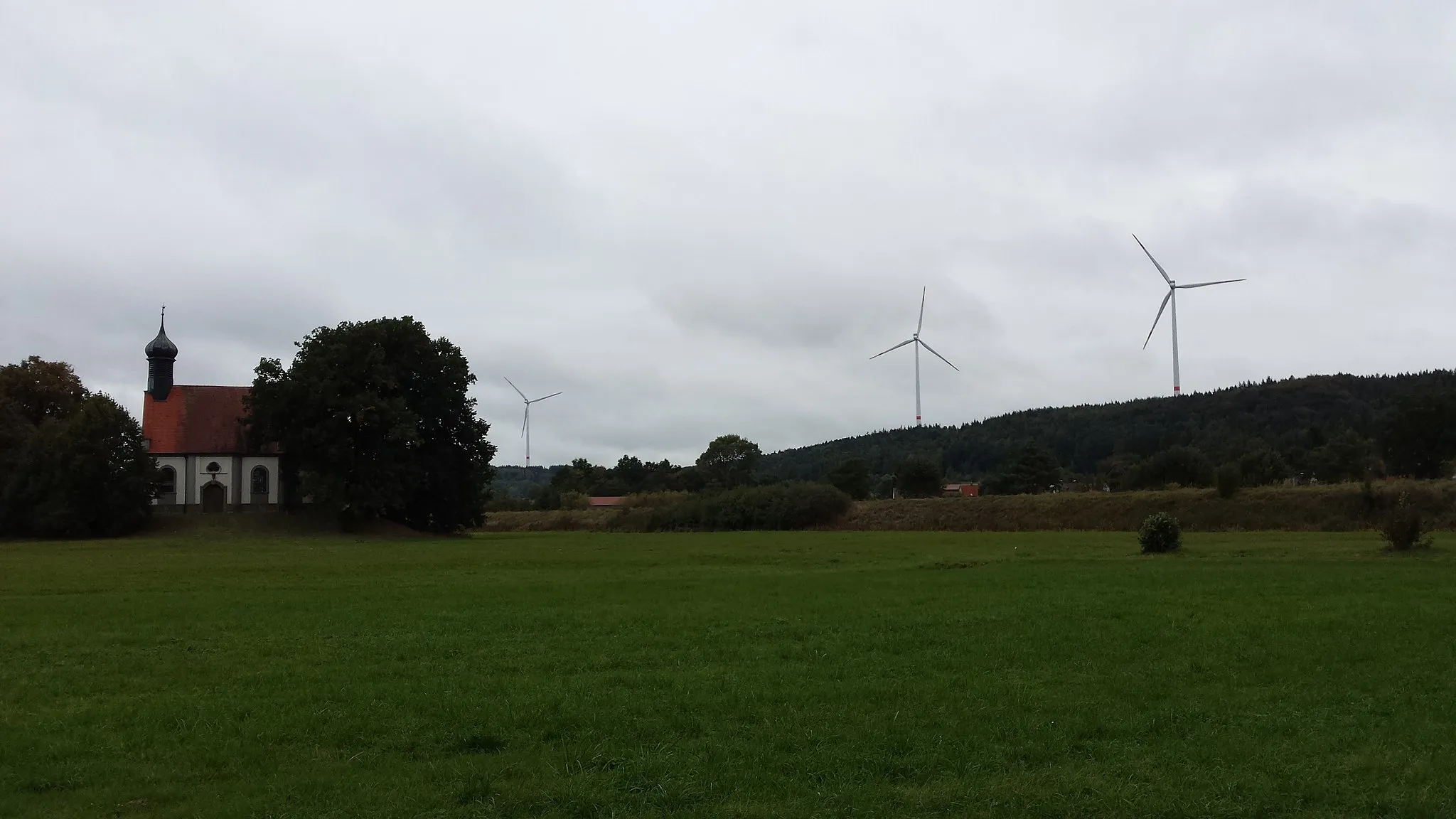
Wassertrüdingen is a small locality located in the Mittelfranken region of Germany. Although it may not have any famous cycling spots or climbs, it offers a pleasant and quiet environment for cyclists. The scenic countryside and meandering roads make Wassertrüdingen an ideal destination for both road and gravel cyclists. Cyclists can explore the surrounding nature, passing through charming villages and farmland. There are also designated cycling paths in the area for cyclists to enjoy. While it may not be a well-known cycling hotspot, Wassertrüdingen provides a relaxing and enjoyable cycling experience away from busier tourist destinations.
Hörberg Loop

Explore rolling hills and charming villages on this road route
The Hörberg Loop takes cyclists through rolling hills and picturesque villages, showcasing the natural beauty of the region. With a moderate difficulty level and several highlights to discover, this road route offers a diverse and enjoyable cycling experience.
A challenging road route through beautiful landscapes and historical sites
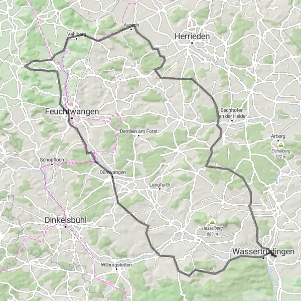
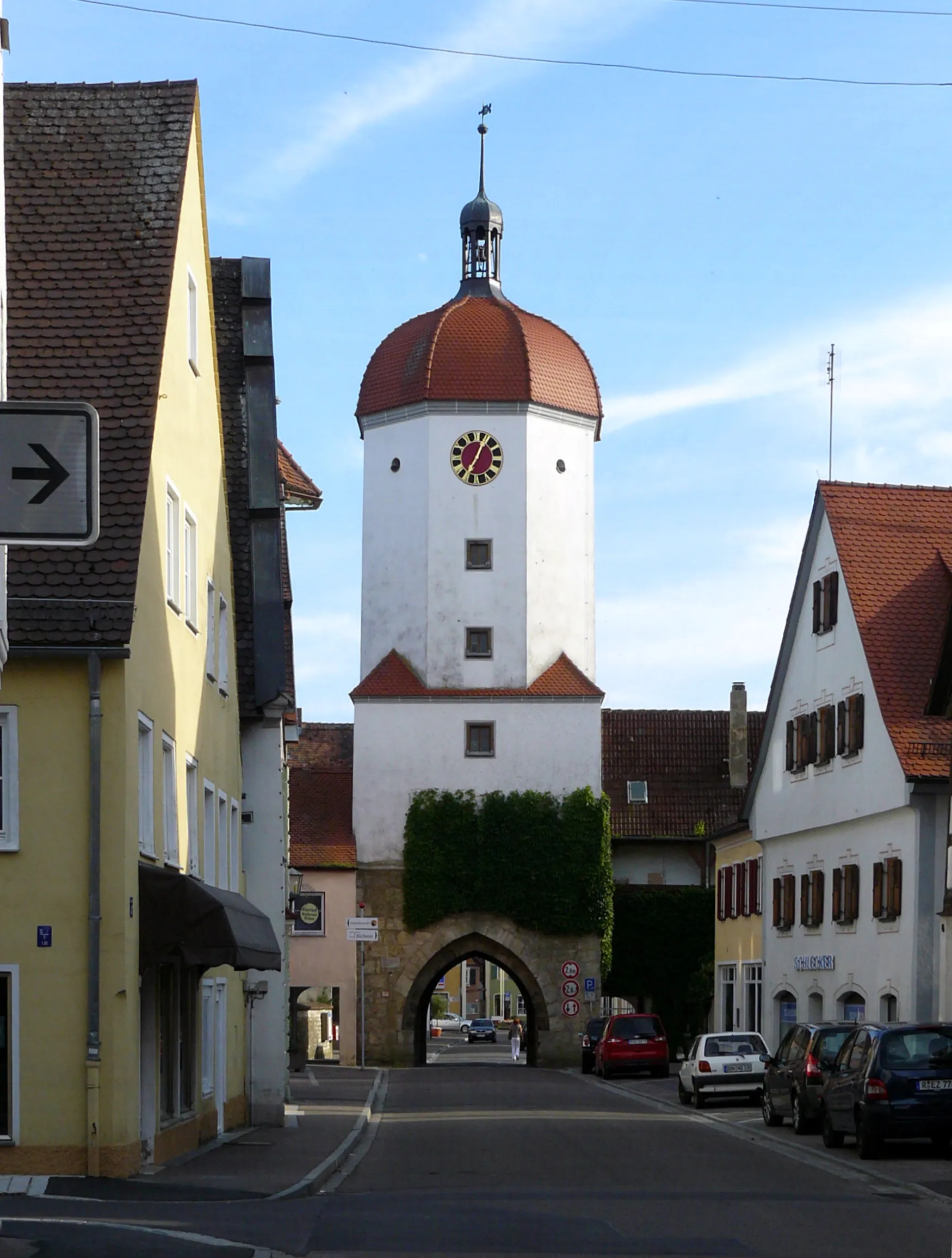
The Wassertrüdingen Explorer is a challenging road cycling route that takes you on a 92 km journey through beautiful landscapes and historical sites. With a total ascent of 828 meters, this route is suitable for well-trained amateur cyclists seeking a challenging ride. Along the way, you will encounter highlights such as the picturesque Kapellbuck, Lerchenbuck, and Steckberg, which offer breathtaking views of the surrounding countryside. The route also passes through Feuchtwangen, a charming town known for its medieval architecture, and Römisches Kastell Dambach, the remains of a Roman fortress. With its mix of natural beauty and historical significance, the Wassertrüdingen Explorer is a rewarding cycling experience.

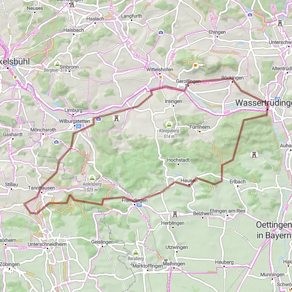
A challenging gravel route with stunning natural landscapes and cultural highlights
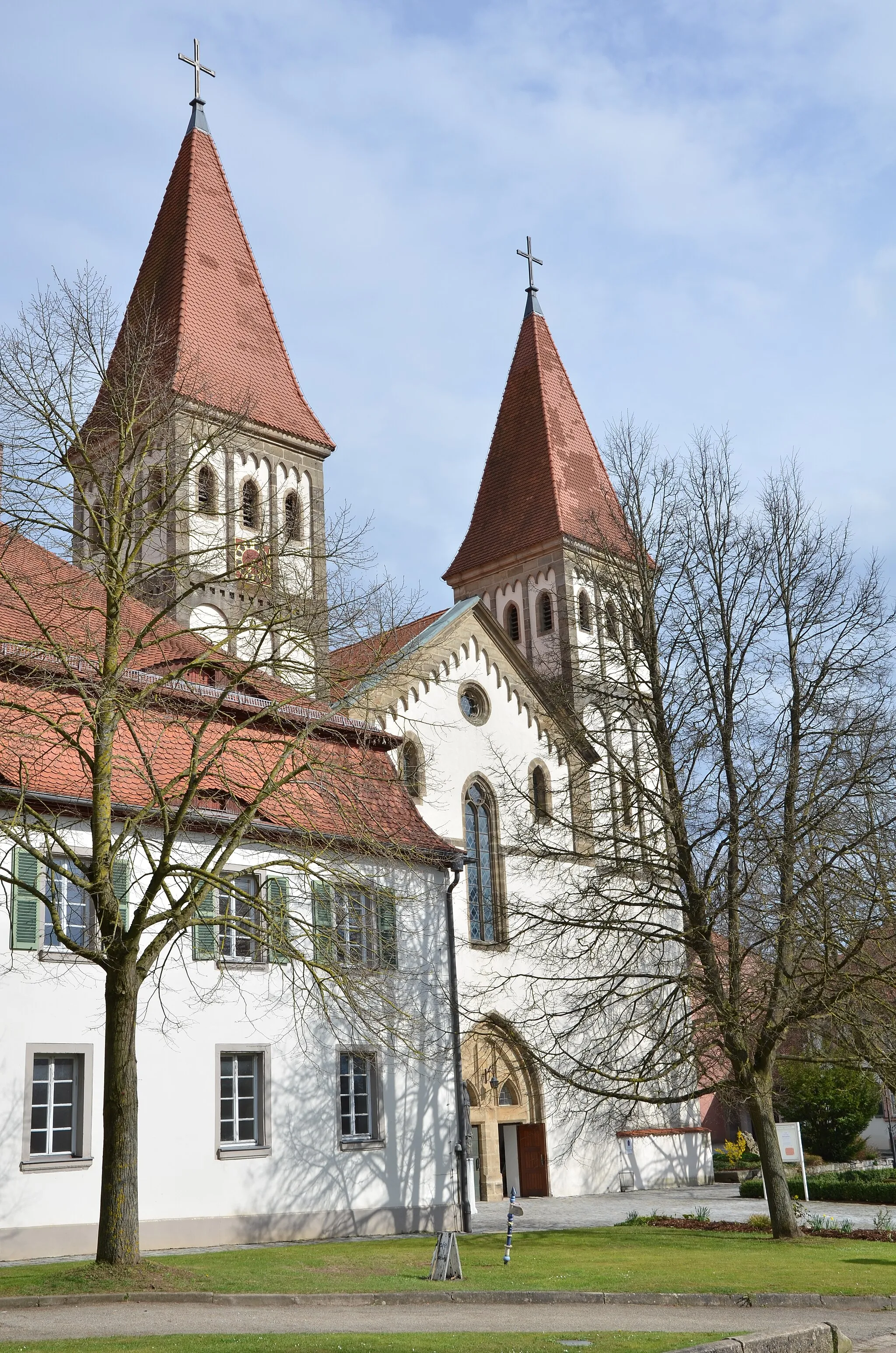
This 78 km gravel cycling route takes you through the beautiful region of Middle Franconia, starting near Wassertrüdingen. With a total ascent of 777 meters, this route is suitable for experienced gravel cyclists looking for an adventure. Along the way, you will encounter highlights such as Röckingen, a picturesque village known for its historic buildings, and Feuchtwangen, a charming town with a rich cultural heritage. The route also includes the impressive Dinkelsbühl, a well-preserved medieval town that transports you back in time. Overall, this gravel adventure offers a truly immersive experience in the natural beauty and cultural richness of Middle Franconia.
Klarberg Loop

A scenic road route with a challenging ascent and several highlights
The Klarberg Loop is a picturesque road cycling route starting near Wassertrüdingen. This 54 km route offers a variety of highlights, including the ancient Roman watchtower Wp 13/38, the charming village of Arberg, and Muhr am See, a scenic lake where you can take a break. The route features a total ascent of 311 meters, making it suitable for well-trained amateur cyclists. With its stunning landscapes and historical sites, the Klarberg Loop promises a memorable cycling experience.
Hassebuck Ride
Discover hidden gems and natural beauty on this gravel ride
The Hassebuck Ride takes cyclists through hidden gems and stunning natural landscapes, providing a unique and memorable gravel riding experience. With a relatively easy difficulty level and several noteworthy highlights, this route offers a perfect blend of adventure and tranquility.
Gnotzheim Discovery
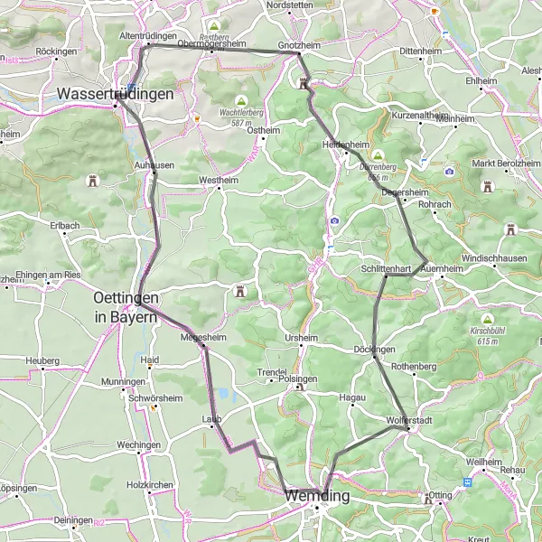
A scenic road route through charming villages and beautiful landscapes
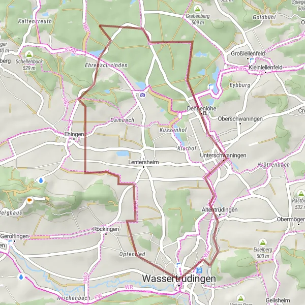
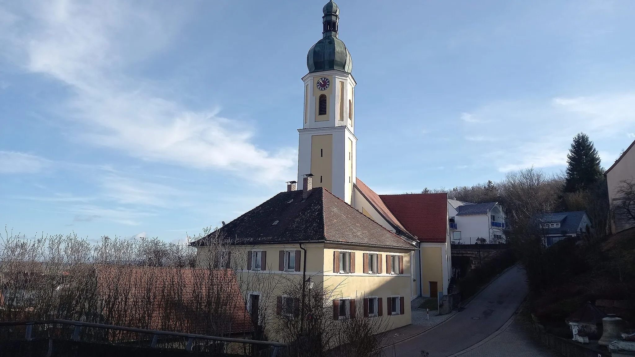
The Gnotzheim Discovery is a road cycling route starting near Wassertrüdingen that offers stunning countryside views and the chance to explore charming villages. With a total distance of 65 km and an ascent of 590 meters, this route provides a moderate challenge for well-trained amateur cyclists. Along the way, you will pass by highlights such as Gnotzheim, a village known for its beautiful old buildings, and Dürrenberg, a quaint hamlet with a peaceful atmosphere. The route also takes you through Schlittenhart, a village surrounded by rolling hills and picturesque landscapes. With its combination of scenic beauty and cultural charm, the Gnotzheim Discovery promises an enjoyable cycling experience in Middle Franconia.
Waldsberg Trail
Explore historic landmarks on this scenic road route
The Waldsberg Trail takes you on a journey through history, passing by various historic landmarks and natural wonders. With a moderate difficulty level and picturesque views along the way, this road route is ideal for seasoned riders looking for a mix of challenge and scenic beauty.
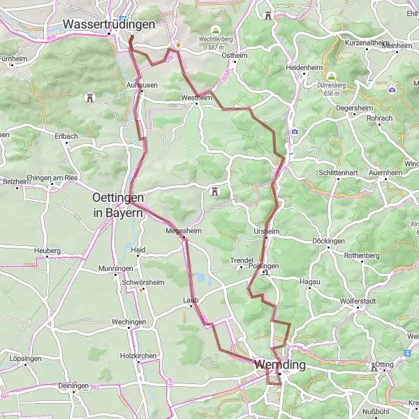
Countryside Gravel Loop
An adventurous gravel route with scenic landscapes and interesting cultural sites
The Countryside Gravel Loop is a thrilling 54 km gravel cycling route starting near Wassertrüdingen that offers an exciting adventure through beautiful landscapes and interesting cultural sites. With an ascent of 560 meters, this route provides a moderate challenge for well-trained amateur gravellers. During the ride, you will have the opportunity to explore highlights such as Schopflohe, a small village known for its peaceful atmosphere and picturesque surroundings, and Tannhausen, a quaint town with a rich history and charming streets. The route also passes by Vogelbuck, a hill offering stunning panoramic views, and Keltenschanze, an ancient Celtic fortification. This gravel loop promises a unique and memorable cycling experience in the Middle Franconian countryside.
Roter Berg Loop
A scenic gravel loop near Wassertrüdingen
This gravel loop takes you through the beautiful countryside near Wassertrüdingen. The Roter Berg (Red Mountain) is a highlight along the route, offering stunning views of the surrounding landscape. With a moderate difficulty level and multiple highlights to explore, this route is perfect for experienced gravel riders.
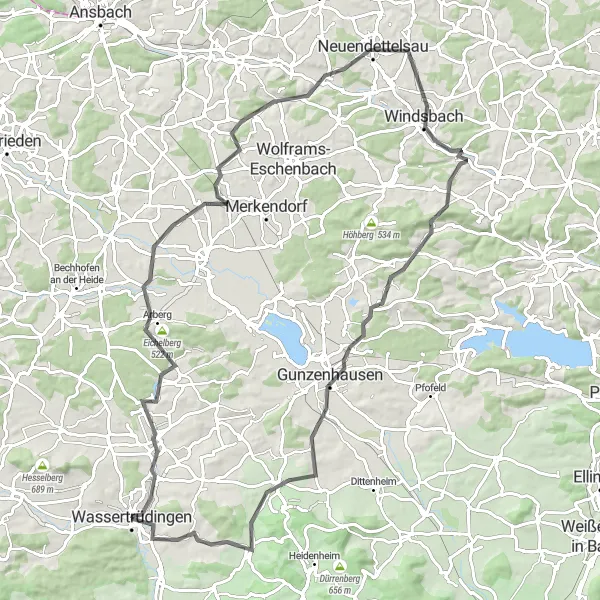
Explore the breathtaking Mittelfranken region while cycling through beautiful road
Discover the picturesque landscapes of Mittelfranken as you embark on this scenic road cycling route. With a total distance of 76 kilometers and an ascent of 1010 meters, this route promises a challenging yet rewarding experience for well-trained amateurs. Pedal your way through quaint villages, lush forests, and rolling hills, taking in the beauty of the surrounding nature. Feel the rush of adrenaline as you conquer iconic climbs like the Gelber Berg and Döckinger Berg, and enjoy the serenity of serene spots like Gnotzheim and Auhausen. This route provides a perfect balance of challenge, natural beauty, and cultural highlights, making it an unforgettable cycling adventure.
Cycling routes nearby:

Nearby regions: