Waldsberg Trail
A road cycling route starting from Wassertrudingen
Explore historic landmarks on this scenic road route
Map
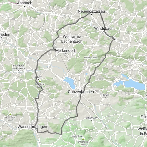
The Waldsberg Trail takes you on a journey through history, passing by various historic landmarks and natural wonders. With a moderate difficulty level and picturesque views along the way, this road route is ideal for seasoned riders looking for a mix of challenge and scenic beauty.
road
91 km
732 m
Tough
Route profile
Highlights on the route
0 km
0 km
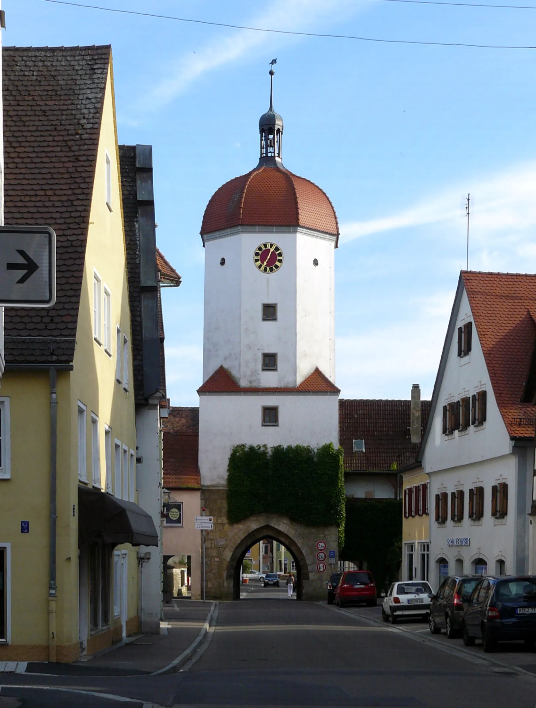
Start: Wassertrüdingen City centerWassertrüdingen: A hidden gem for peaceful cycling in Wassertrüdingen.
Wassertrüdingen is a small locality located in the Mittelfranken region of Germany. Although it may not have any famous cycling spots or climbs, it offers a pleasant and quiet environment for cyclists. The scenic countryside and meandering roads make Wassertrüdingen an ideal destination for both road and gravel cyclists. Cyclists can explore the surrounding nature, passing through charming villages and farmland. There are also designated cycling paths in the area for cyclists to enjoy. While it may not be a well-known cycling hotspot, Wassertrüdingen provides a relaxing and enjoyable cycling experience away from busier tourist destinations.8 km
8 km
Römischer Wachturm Wp 13/38AttractionThe Römischer Wachturm Wp 13/38 is an ancient Roman watchtower that offers panoramic views of the surrounding countryside.
9 km
9 km
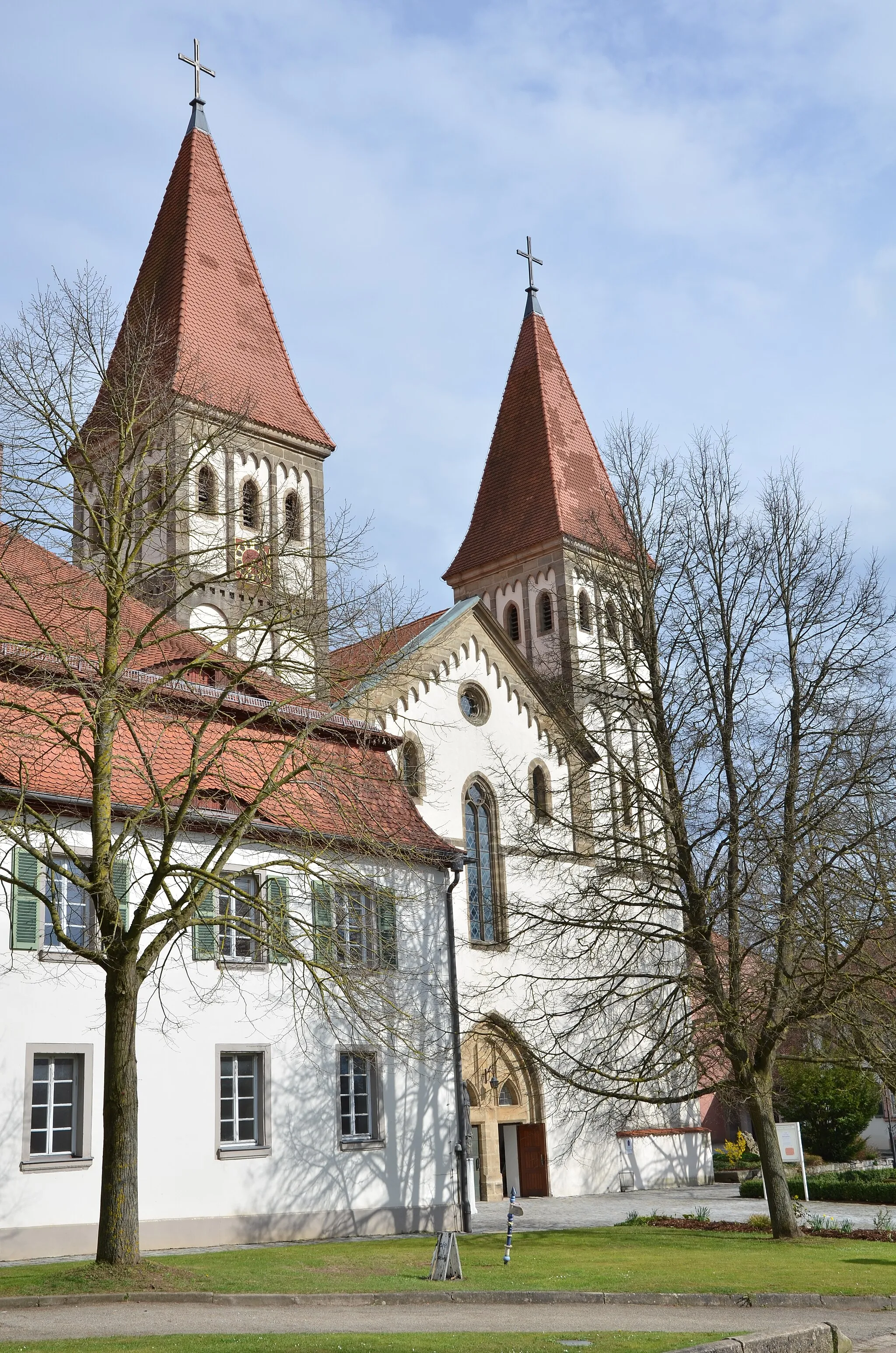
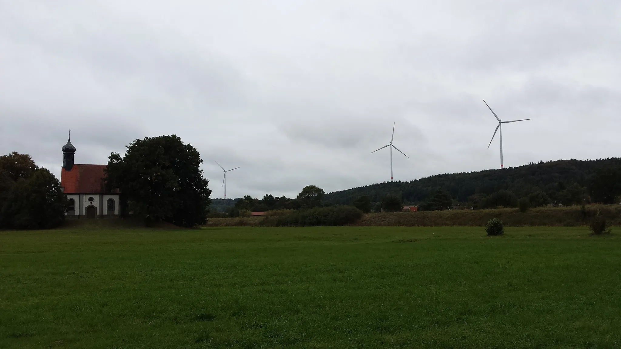
Waldsberg486 mPeakWaldsberg is a quaint village known for its charming houses and well-preserved medieval architecture.
22 km
22 km
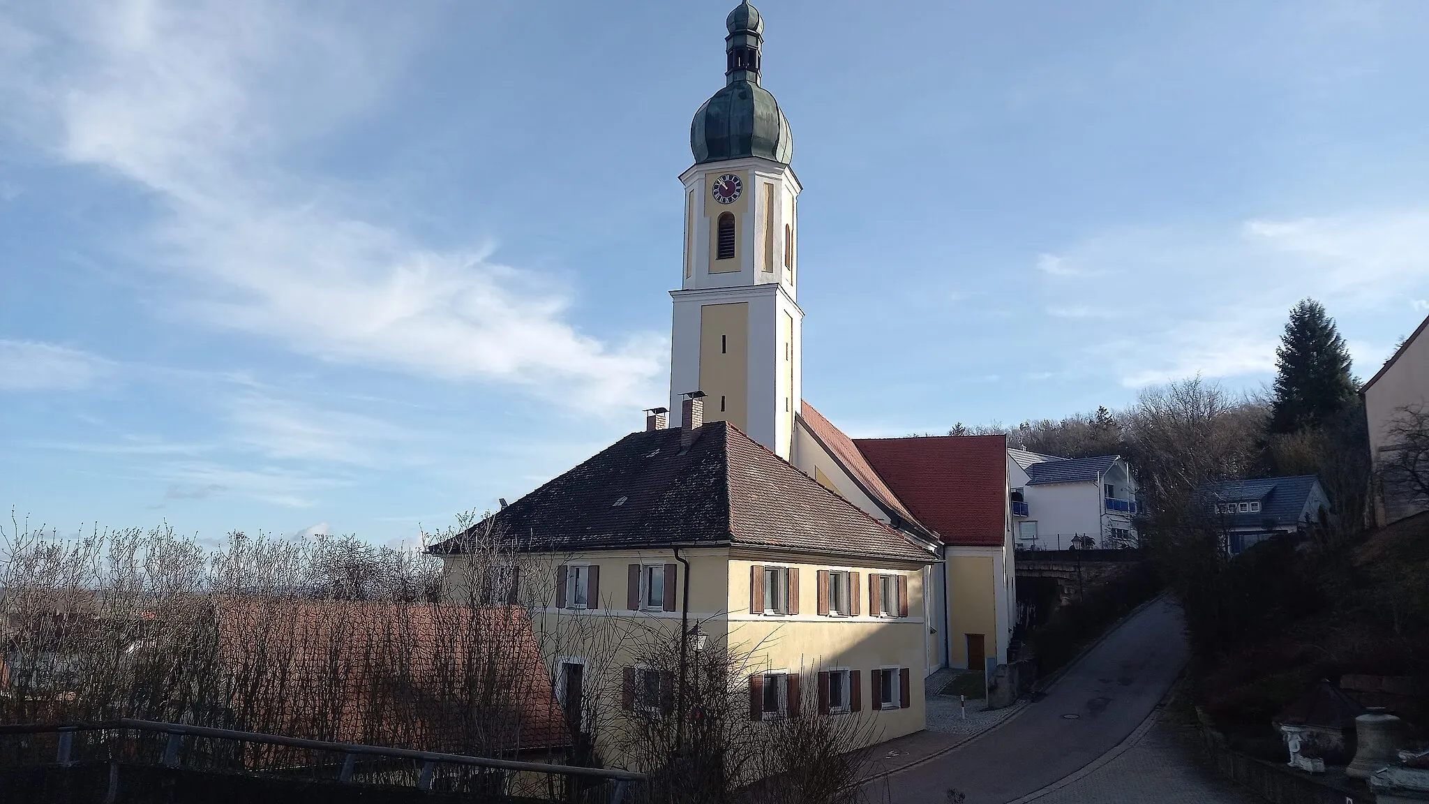
WeidenbachVillageWeidenbach is a picturesque town with a picturesque marketplace and historic buildings.
41 km
41 km
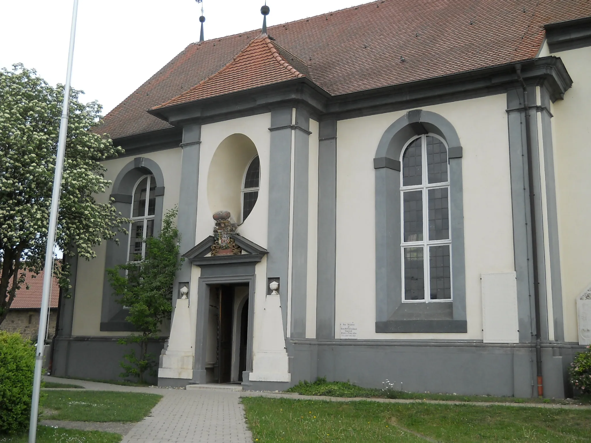
NeuendettelsauTownNeuendettelsau is a cultural hub and home to several museums and art galleries.
47 km
47 km
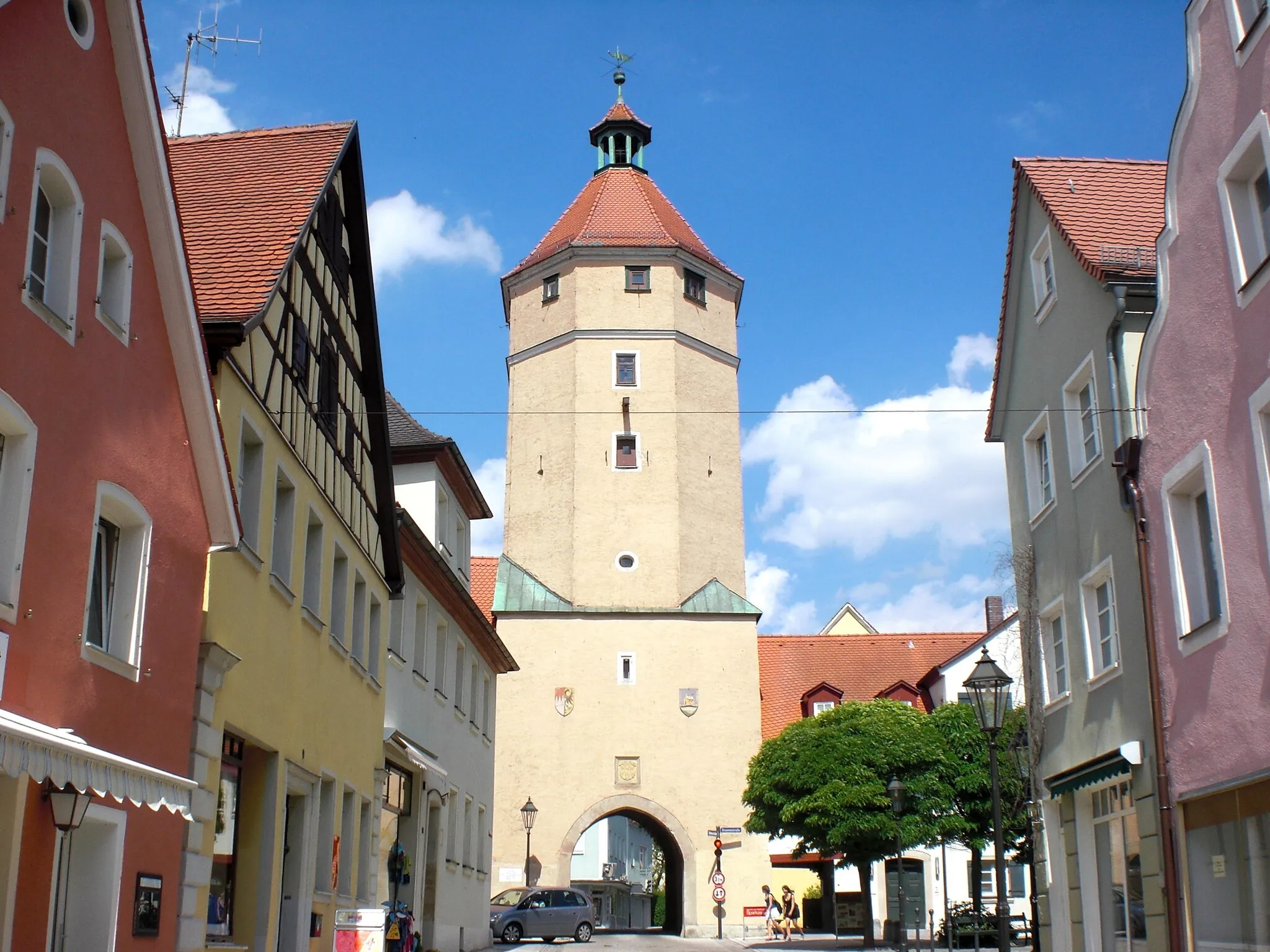
StadtturmViewpointStadtturm is a medieval tower that offers panoramic views of the surrounding area.
55 km
55 km
Geiersberg510 mPeakGeiersberg is a challenging climb with steep gradients that will push riders to their limits.
69 km
69 km
GunzenhausenTownGunzenhausen is a vibrant town famous for its beautiful lake and outdoor recreational activities.
77 km
77 km
GnotzheimVillageGnotzheim is a charming village located in the picturesque Altmühltal Nature Park.
91 km
91 km
Finish: Wassertrüdingen City centerWassertrüdingen: A hidden gem for peaceful cycling in Wassertrüdingen.
Cycling routes nearby: