Klarberg Loop
A road cycling route starting from Wassertrudingen
A scenic road route with a challenging ascent and several highlights
Map

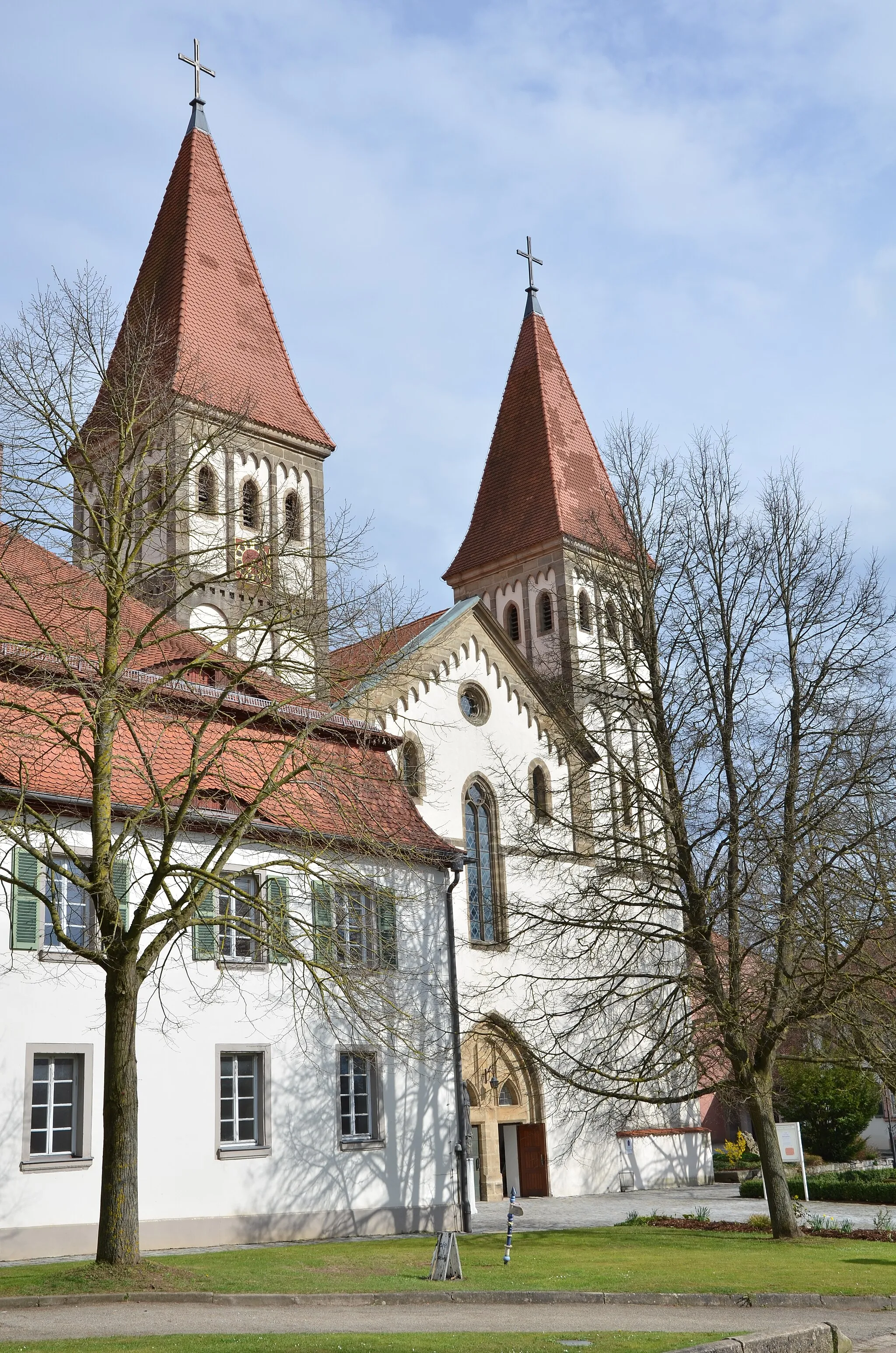
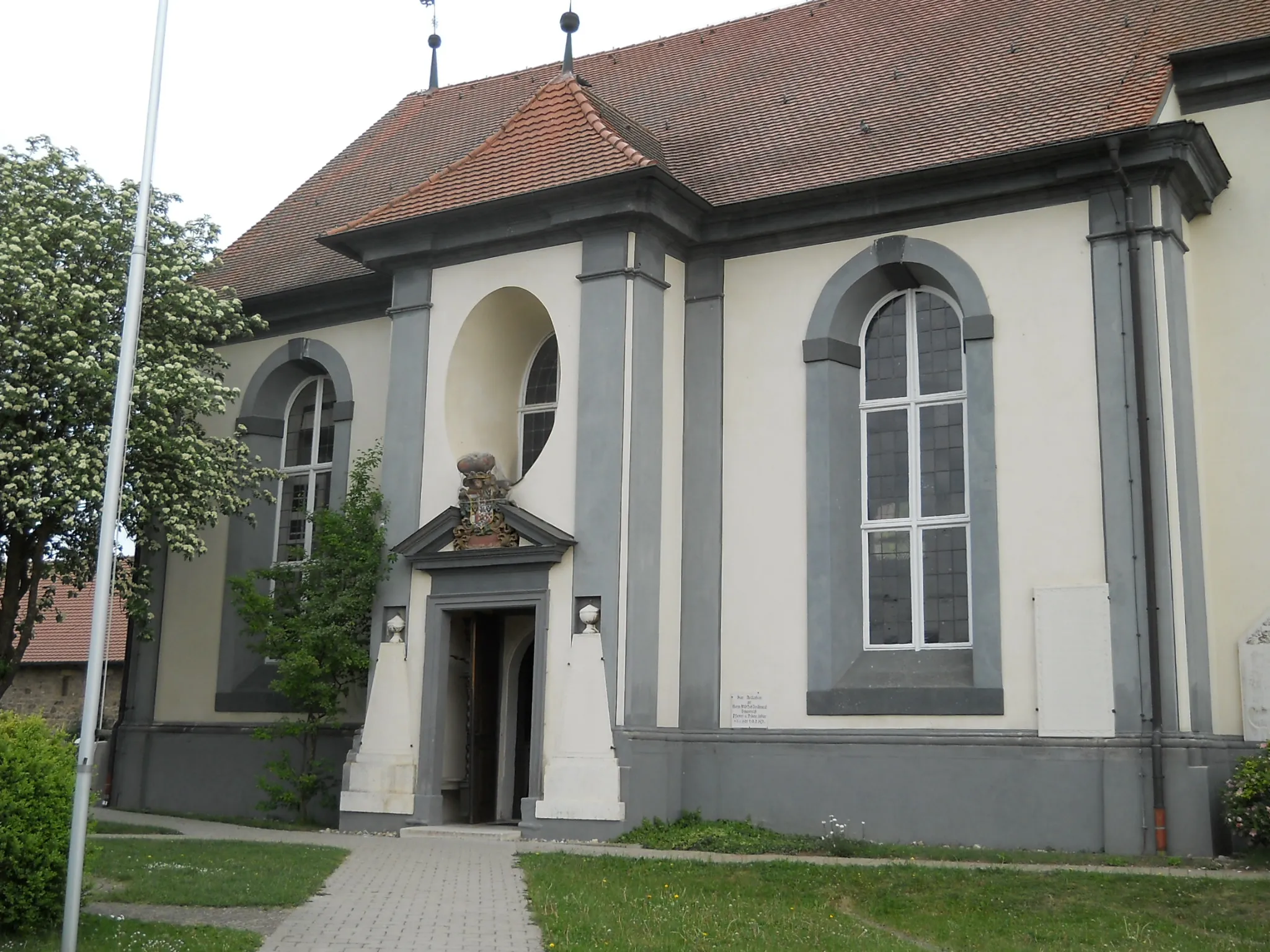
The Klarberg Loop is a picturesque road cycling route starting near Wassertrüdingen. This 54 km route offers a variety of highlights, including the ancient Roman watchtower Wp 13/38, the charming village of Arberg, and Muhr am See, a scenic lake where you can take a break. The route features a total ascent of 311 meters, making it suitable for well-trained amateur cyclists. With its stunning landscapes and historical sites, the Klarberg Loop promises a memorable cycling experience.
road
54 km
311 m
Tough
Route profile
Highlights on the route
0 km
0 km
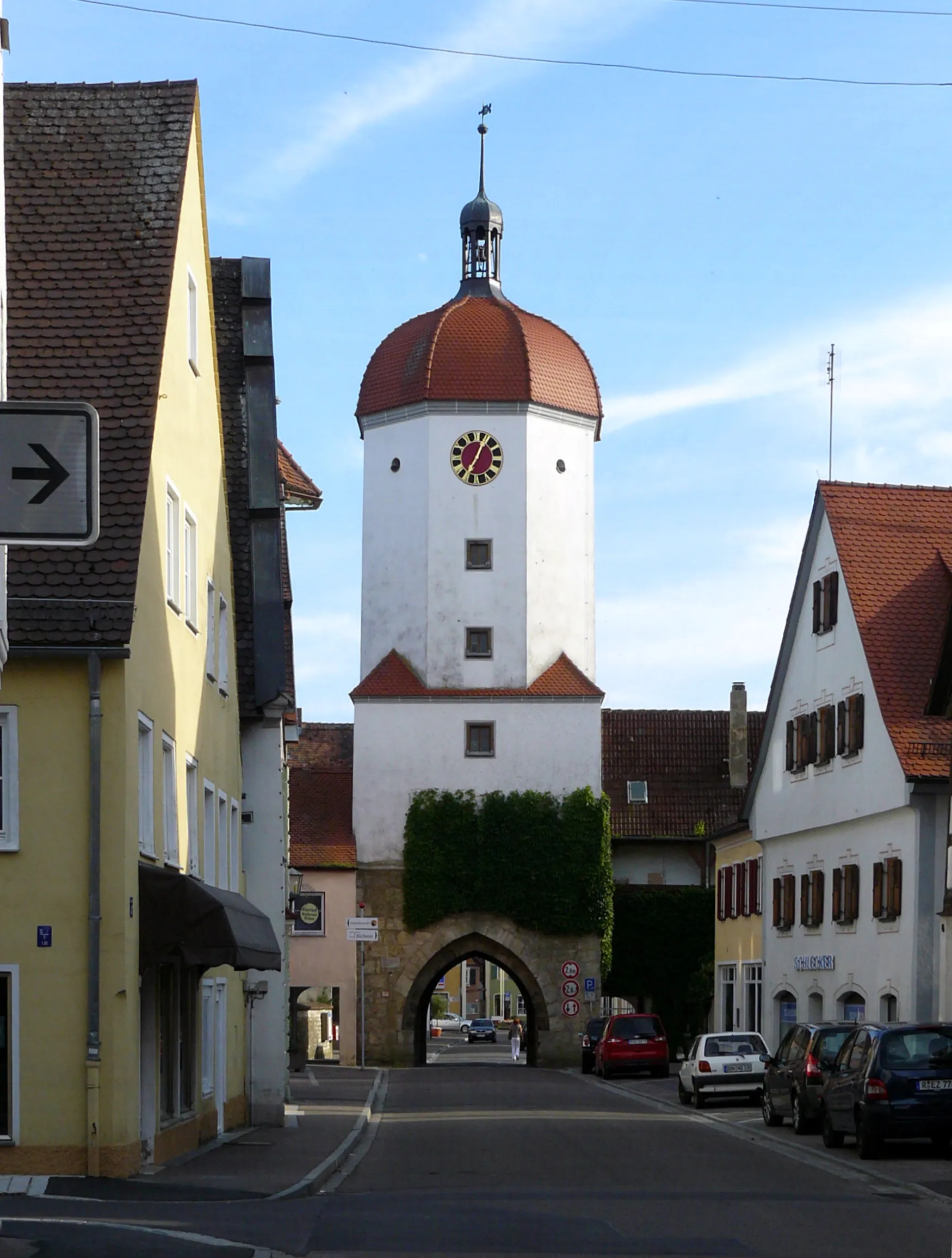
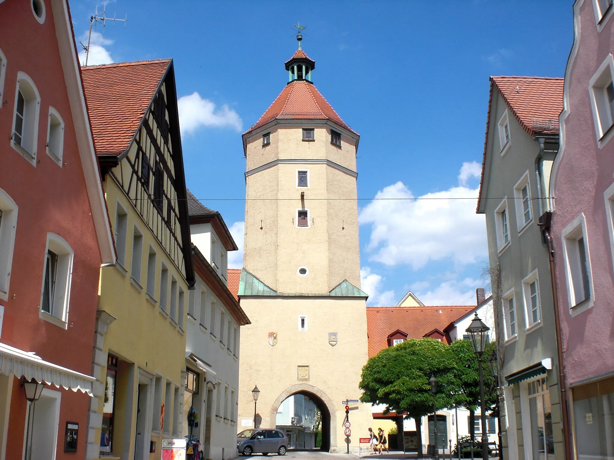
Start: Wassertrüdingen City centerWassertrüdingen: A hidden gem for peaceful cycling in Wassertrüdingen.
Wassertrüdingen is a small locality located in the Mittelfranken region of Germany. Although it may not have any famous cycling spots or climbs, it offers a pleasant and quiet environment for cyclists. The scenic countryside and meandering roads make Wassertrüdingen an ideal destination for both road and gravel cyclists. Cyclists can explore the surrounding nature, passing through charming villages and farmland. There are also designated cycling paths in the area for cyclists to enjoy. While it may not be a well-known cycling hotspot, Wassertrüdingen provides a relaxing and enjoyable cycling experience away from busier tourist destinations.6 km
6 km
Klarberg474 mPeakLocated along the route, Klarberg offers stunning panoramic views of the surrounding countryside.
8 km
8 km
Römischer Wachturm Wp 13/38AttractionRömischer Wachturm Wp 13/38 is a well-preserved ancient watchtower that provides a glimpse into the region's Roman history.
14 km
14 km
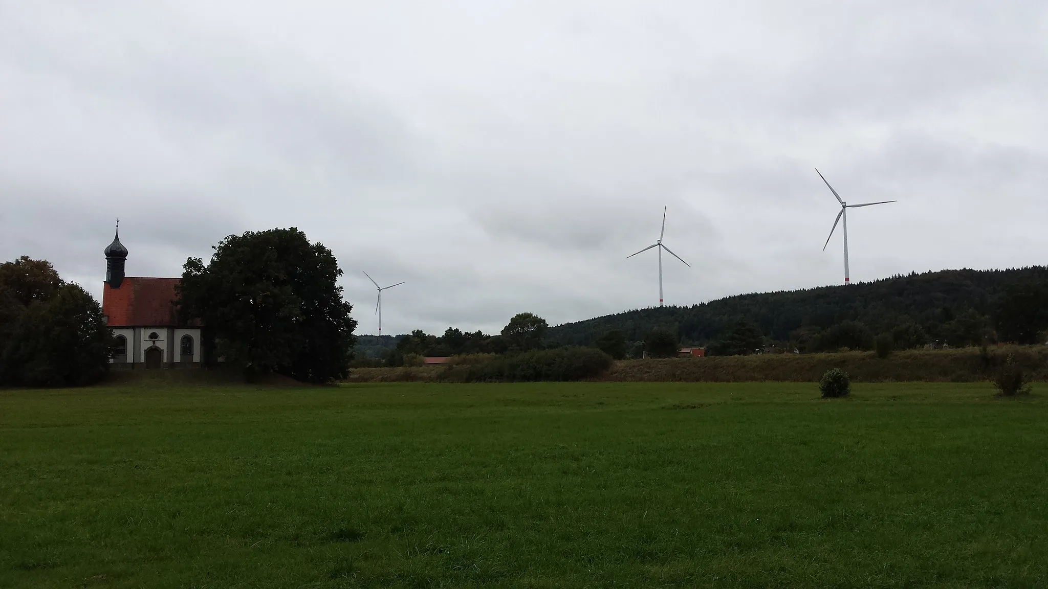
Eichelberg522 mPeakEichelberg is a hill with beautiful meadows, offering a tranquil spot for cyclists to rest and enjoy the scenery.
15 km
15 km
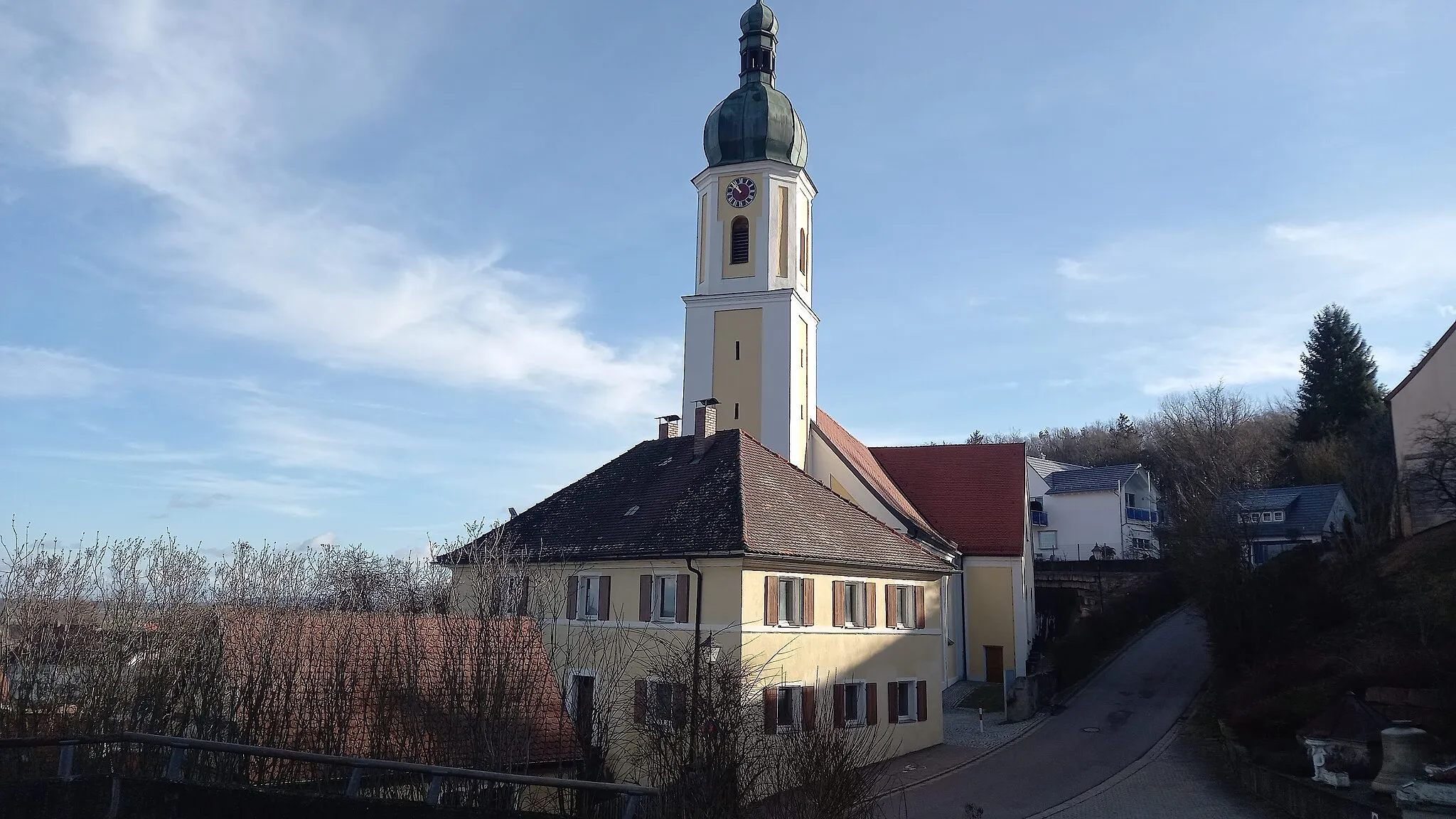
ArbergVillageArberg is a charming village known for its picturesque streets and well-preserved medieval architecture.
29 km
29 km
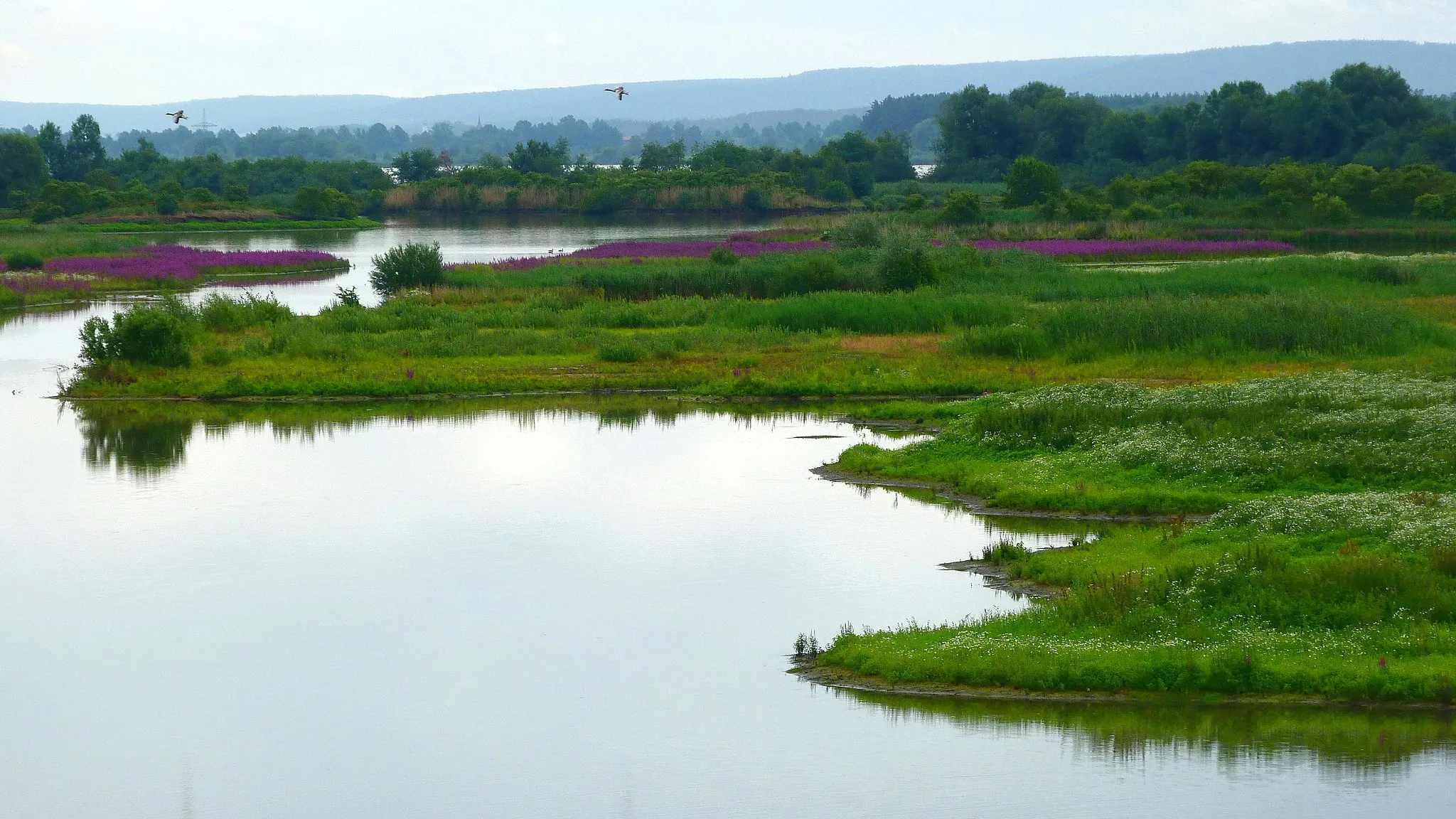
Muhr am SeeVillageMuhr am See is a charming lakeside town with a peaceful atmosphere, perfect for a relaxing stop during your ride.
31 km
31 km
Beobachtungsturm VogelinselViewpointBeobachtungsturm Vogelinsel is an observation tower where you can enjoy panoramic views of the surrounding wildlife reserve.
39 km
39 km
OberwurmbachHamletOberwurmbach is a quaint village with traditional half-timbered houses and a peaceful rural atmosphere.
49 km
49 km
Eiselberg503 mPeakEiselberg is a hill offering scenic views of the surrounding forests and farmland. It's a great spot to take in the natural beauty of the area.
54 km
54 km
Finish: Wassertrüdingen City centerWassertrüdingen: A hidden gem for peaceful cycling in Wassertrüdingen.
Cycling routes nearby: