Gunzenhausen Round Trip
A road cycling route starting from Gunzenhausen
Scenic road cycling experience near Gunzenhausen
Map
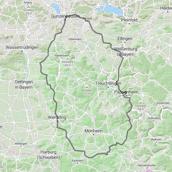
This round trip starting near Gunzenhausen takes you through picturesque scenery and offers a challenging cycling experience. The route covers a distance of 118 km with a total ascent of 1,353 meters. It is suitable for road biking enthusiasts looking for a scenic adventure. The route passes through several highlights along the way, including Pfofeld, Flüglinger Berg, Burg Pappenheim, and Tagmersheim. Overall, this route offers a rewarding cycling experience with stunning views and a mix of challenging terrains.
road
118 km
1353 m
Tough
Route profile
Highlights on the route
0 km
0 km
Start: Gunzenhausen City centerGunzenhausen: Picturesque landscapes and diverse cycling routes await you in Gunzenhausen.
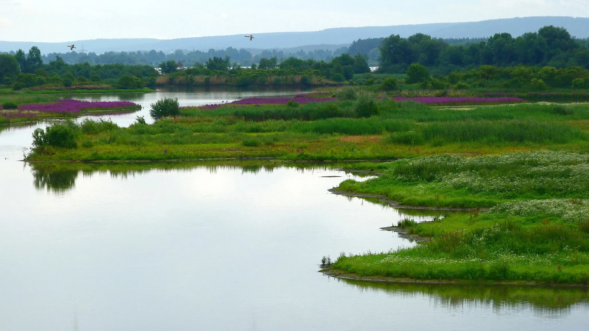
Located in Mittelfranken, Germany, Gunzenhausen is a charming locality with lots to offer road and gravel cyclists. The region boasts well-paved roads and a diverse range of cycling routes, making it ideal for exploring on two wheels. Gunzenhausen is surrounded by beautiful nature reserves, providing the perfect setting for peaceful rides through forests and meadows. Additionally, the locality is near Altmühl Valley Nature Park, which is known for its scenic beauty and picturesque cycling paths. Bike enthusiasts will appreciate the cycling-friendly infrastructure and breath-taking natural surroundings that Gunzenhausen has to offer.6 km
6 km
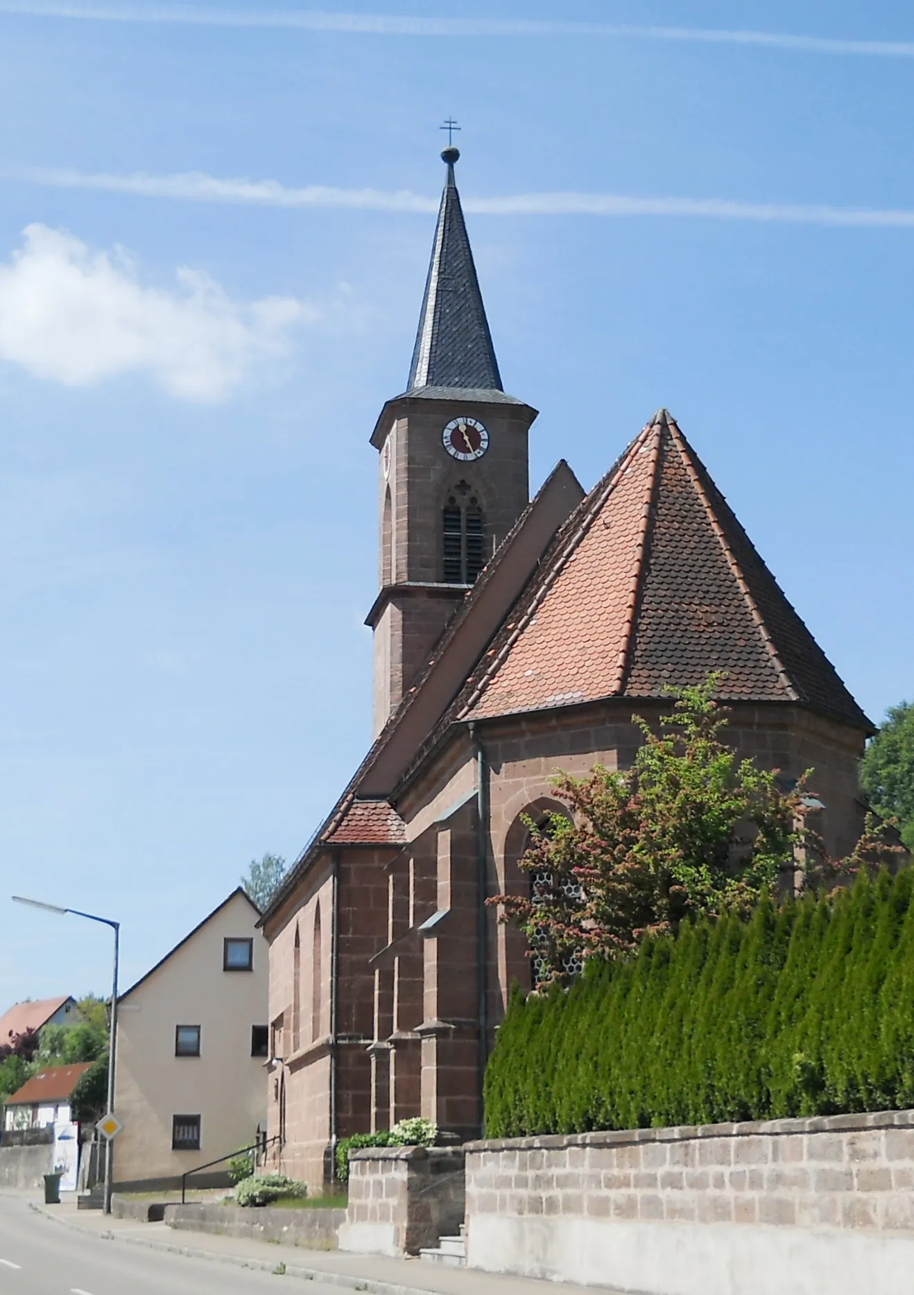
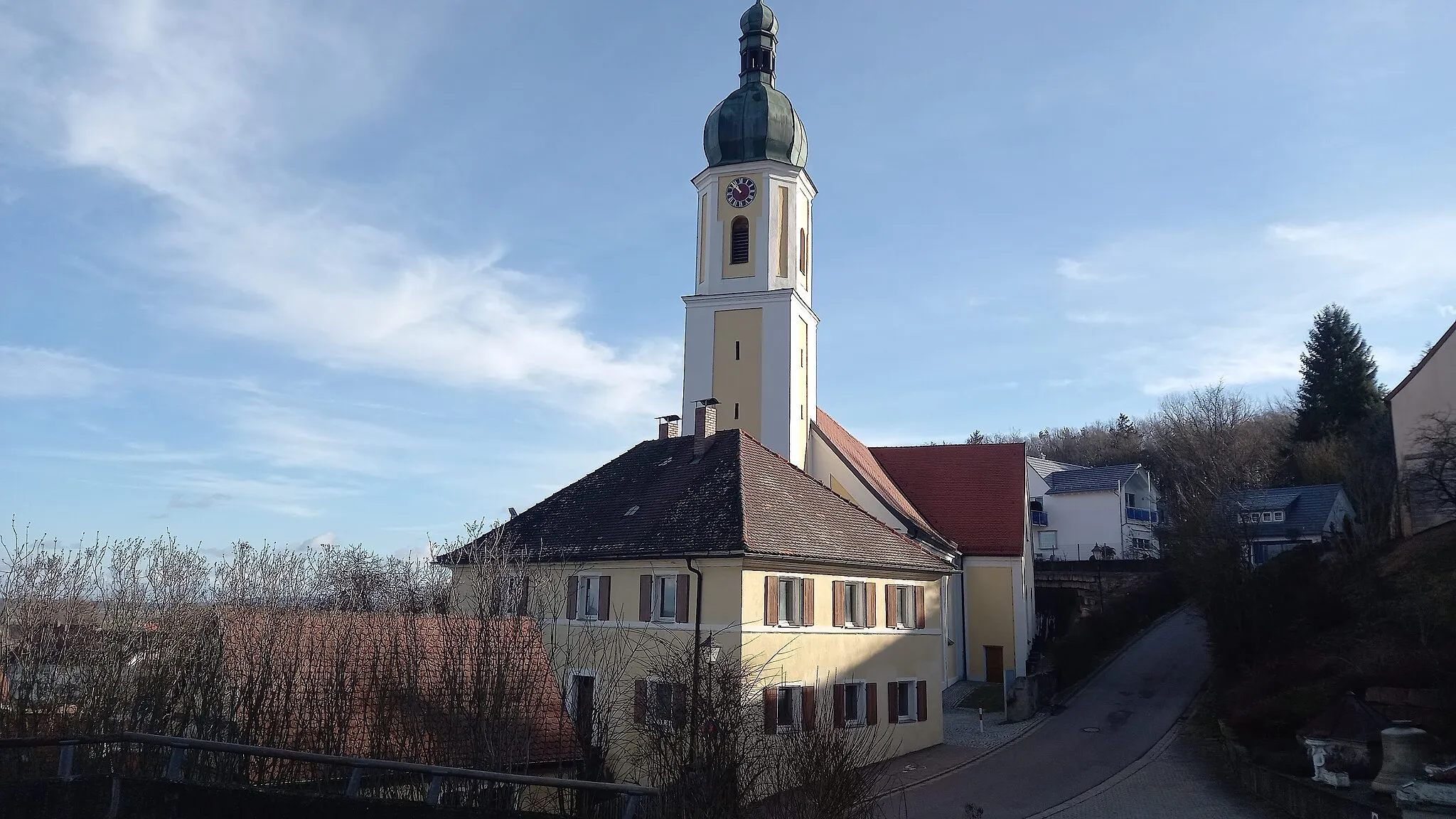
PfofeldVillagePfofeld is known for its beautiful lakeside views and charming atmosphere. Take a break here to soak in the scenic beauty.
16 km
16 km
Flüglinger Berg541 mPeakFlüglinger Berg offers a challenging ascent along with breathtaking views of the surrounding landscapes.
36 km
36 km
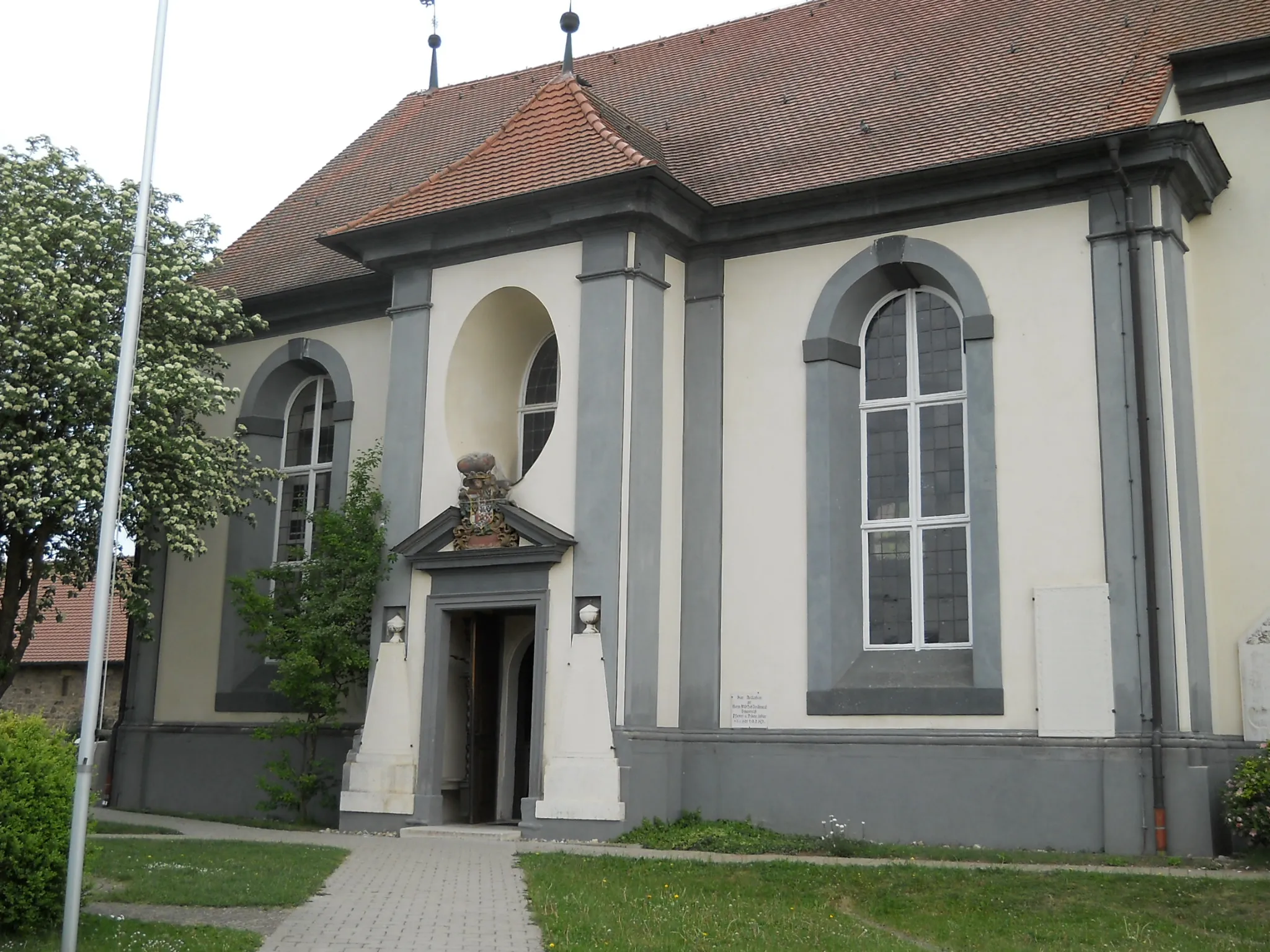
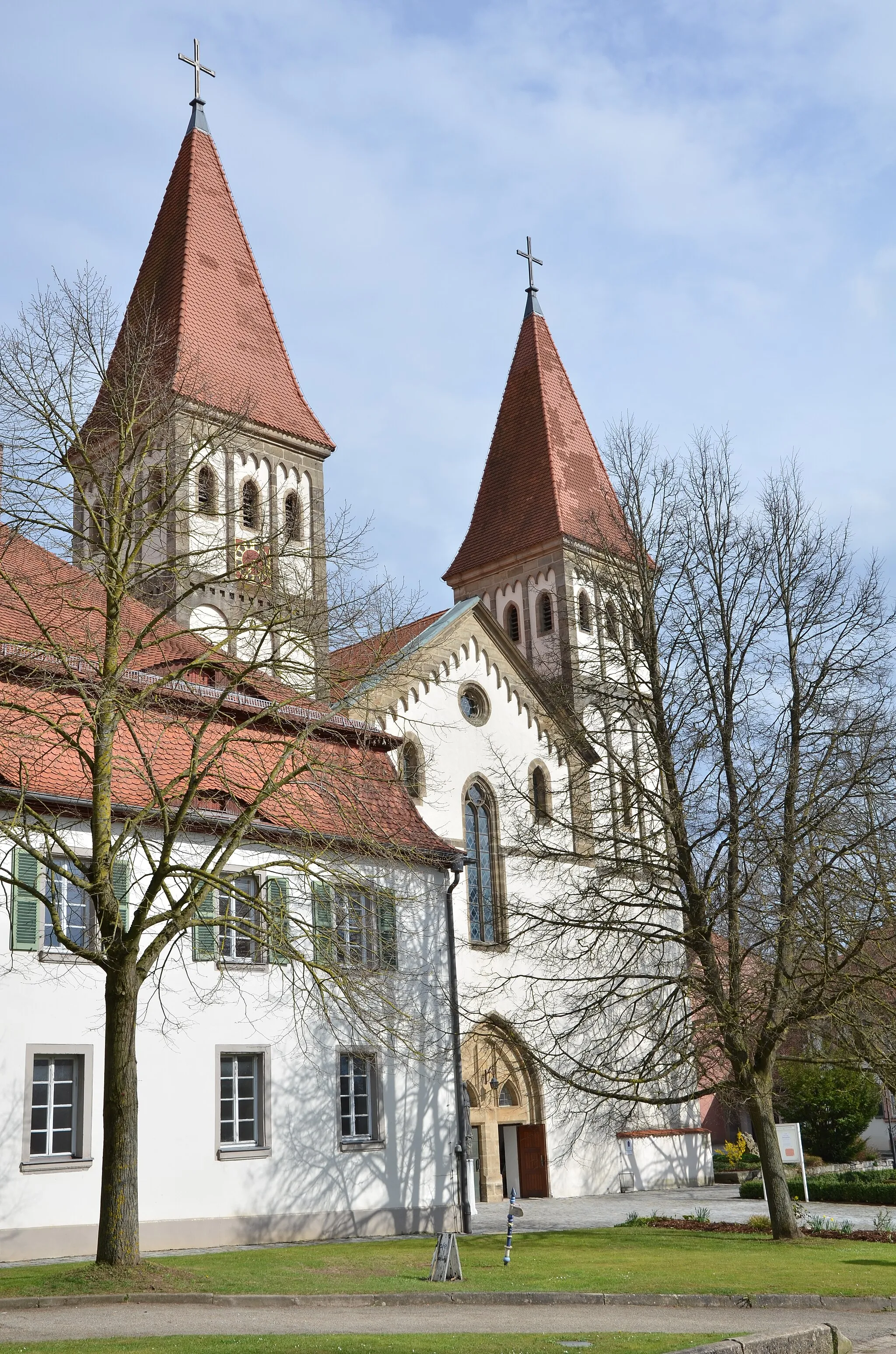
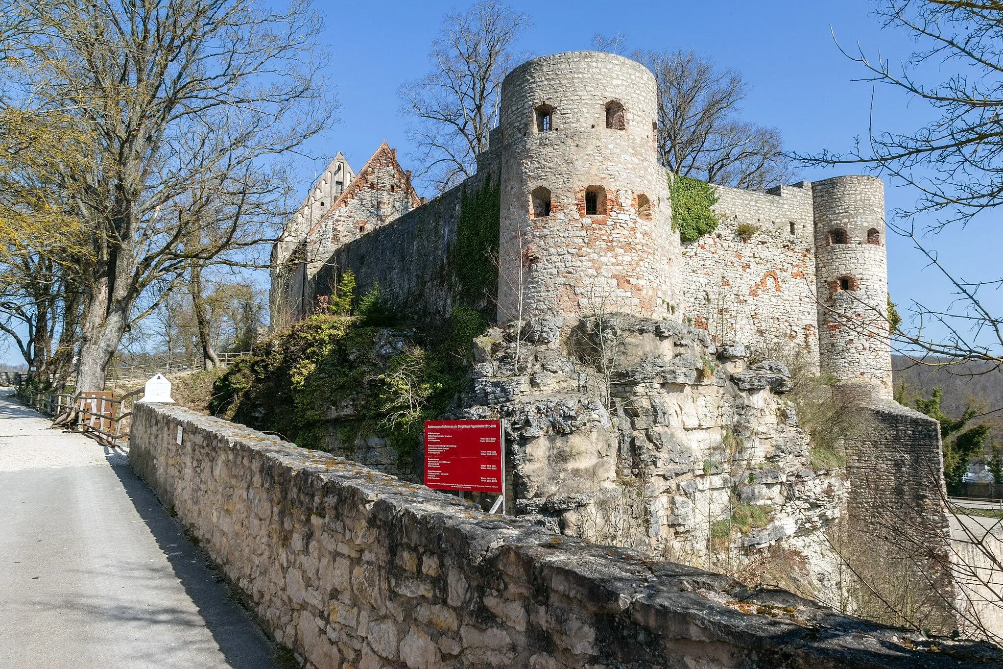
Burg PappenheimCastleBurg Pappenheim is a historic castle that offers a glimpse into the region's rich history and architecture.
36 km
36 km
BergfriedViewpointBergfried is a medieval tower that provides panoramic views of the surrounding area.
53 km
53 km
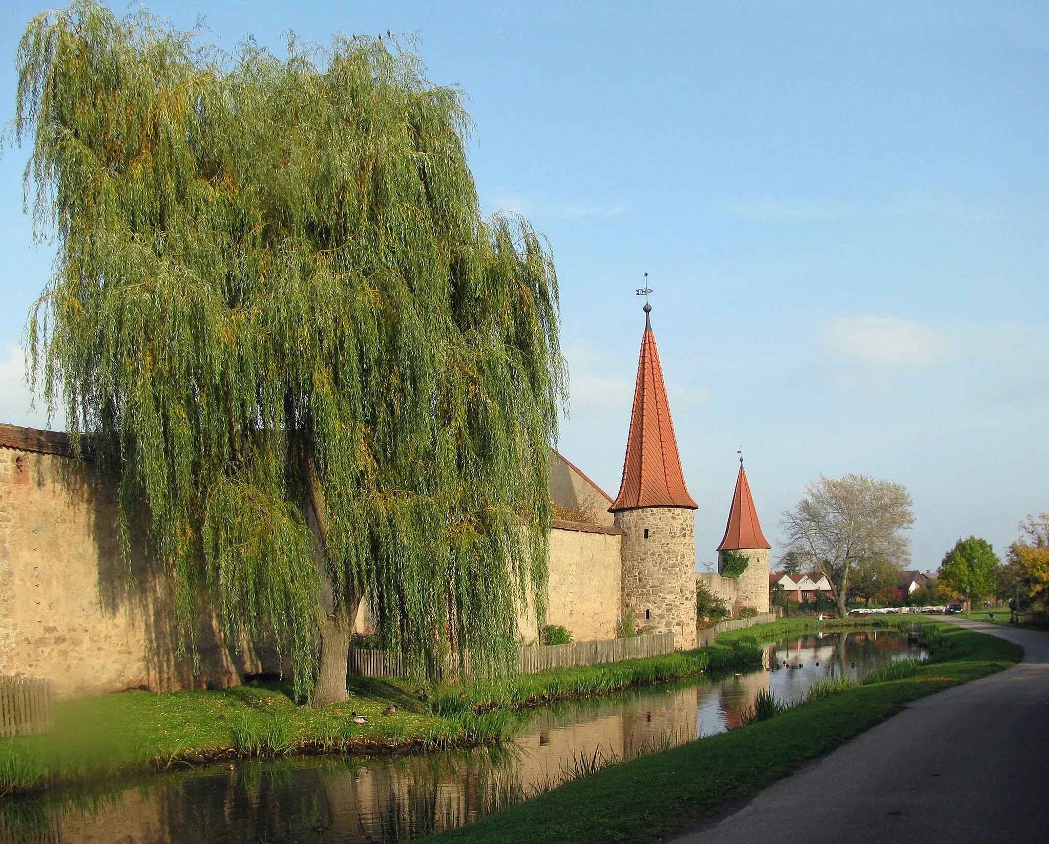
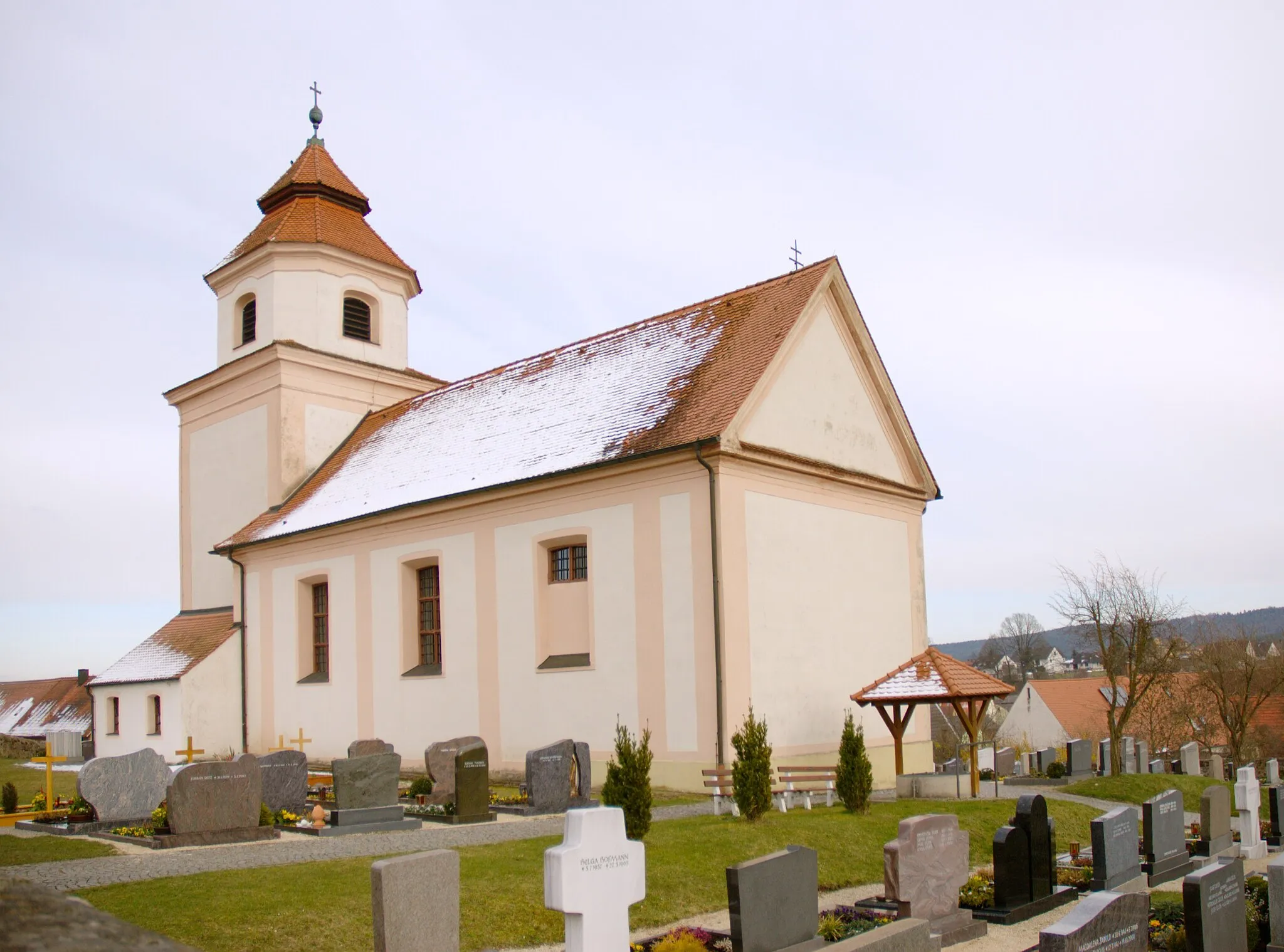
TagmersheimVillageTagmersheim is a charming village known for its traditional Bavarian architecture and peaceful atmosphere.
61 km
61 km
DaitingVillageDaiting is a small town surrounded by rolling hills and scenic countryside, offering a tranquil stop during your cycling journey.
78 km
78 km
FünfstettenVillageFünfstetten is a quaint hamlet that showcases the region's rural charm and traditional way of life.
85 km
85 km
Platte524 mPeak ViewpointPlatte is a small hill with panoramic views of the surrounding landscapes, providing an invigorating rest stop.
101 km
101 km
Hörberg491 mPeakHörberg is a hill that offers a challenging climb for those seeking an extra dose of adventure.
110 km
110 km
GnotzheimVillageGnotzheim is a picturesque village known for its historical buildings and tranquil setting.
119 km
119 km
GunzenhausenTownGunzenhausen, the starting and ending point of the route, is a charming town located on the banks of Altmühlsee, offering a range of amenities for cyclists.
118 km
118 km
Finish: Gunzenhausen City centerGunzenhausen: Picturesque landscapes and diverse cycling routes await you in Gunzenhausen.
Cycling routes from Gunzenhausen:
Discover Gunzenhausen's Surroundings Challenge the Hills near Gunzenhausen The Northern Gravel Loop Epic Gravel Exploration near Gunzenhausen Scenic Road Adventure from Gunzenhausen Gunzenhausen Round Trip The Spalt Adventure Scenic Road Journey near Gunzenhausen The Watertrüdingen Loop The Brombachsee Challenge
Cycling routes nearby: