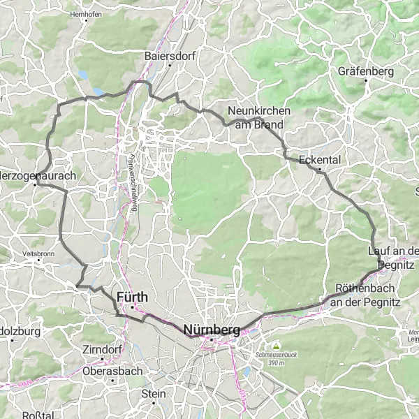
Embark on cycling adventures in Herzogenaurach
Cycling routes from Herzogenaurach
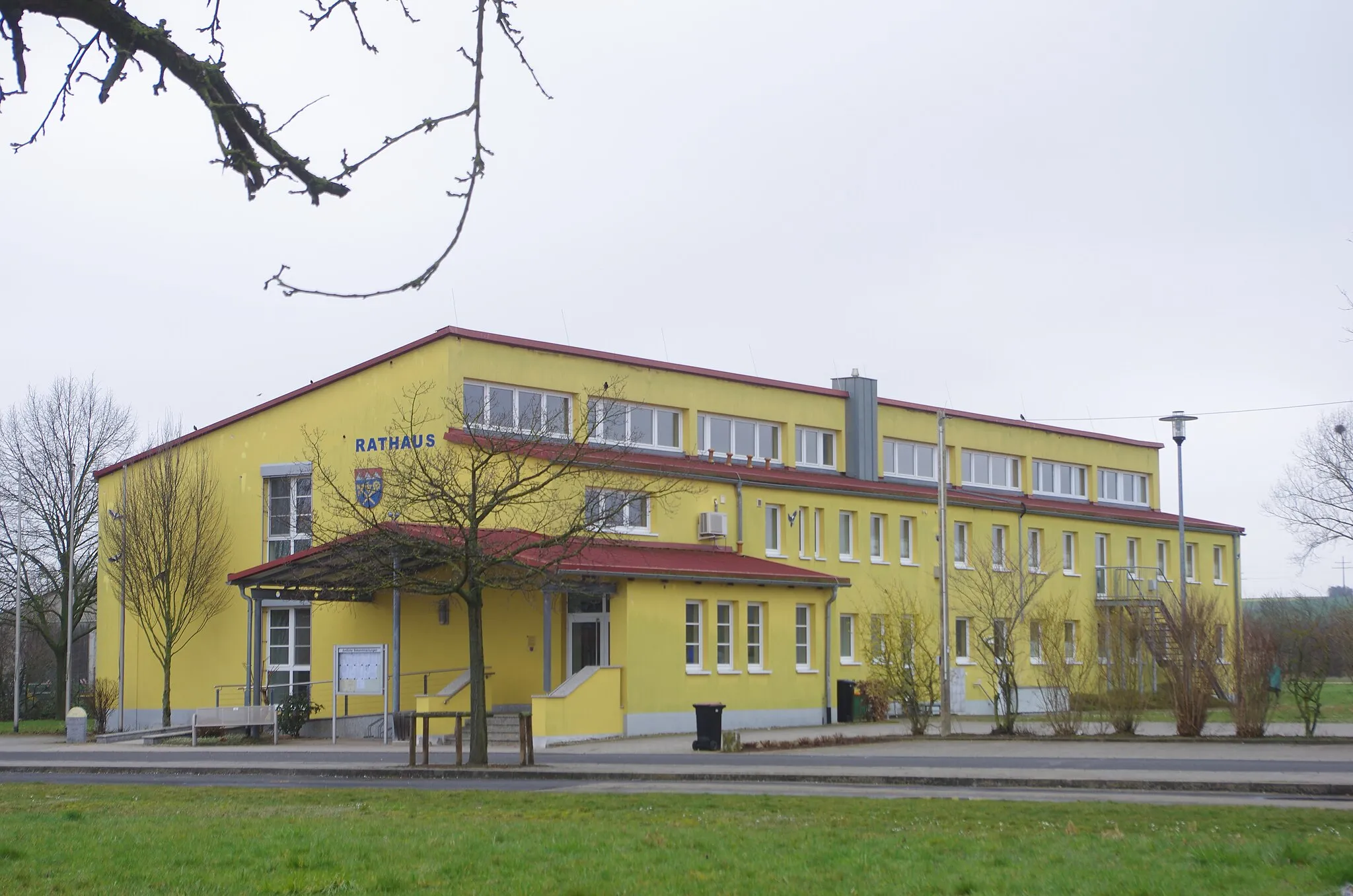
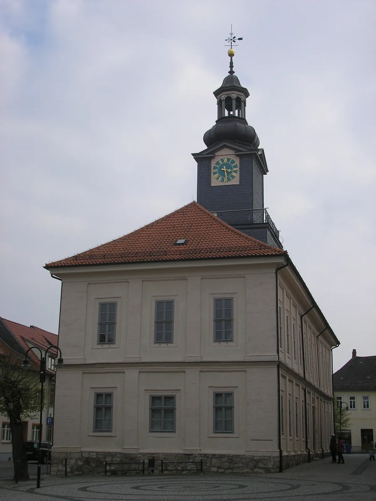
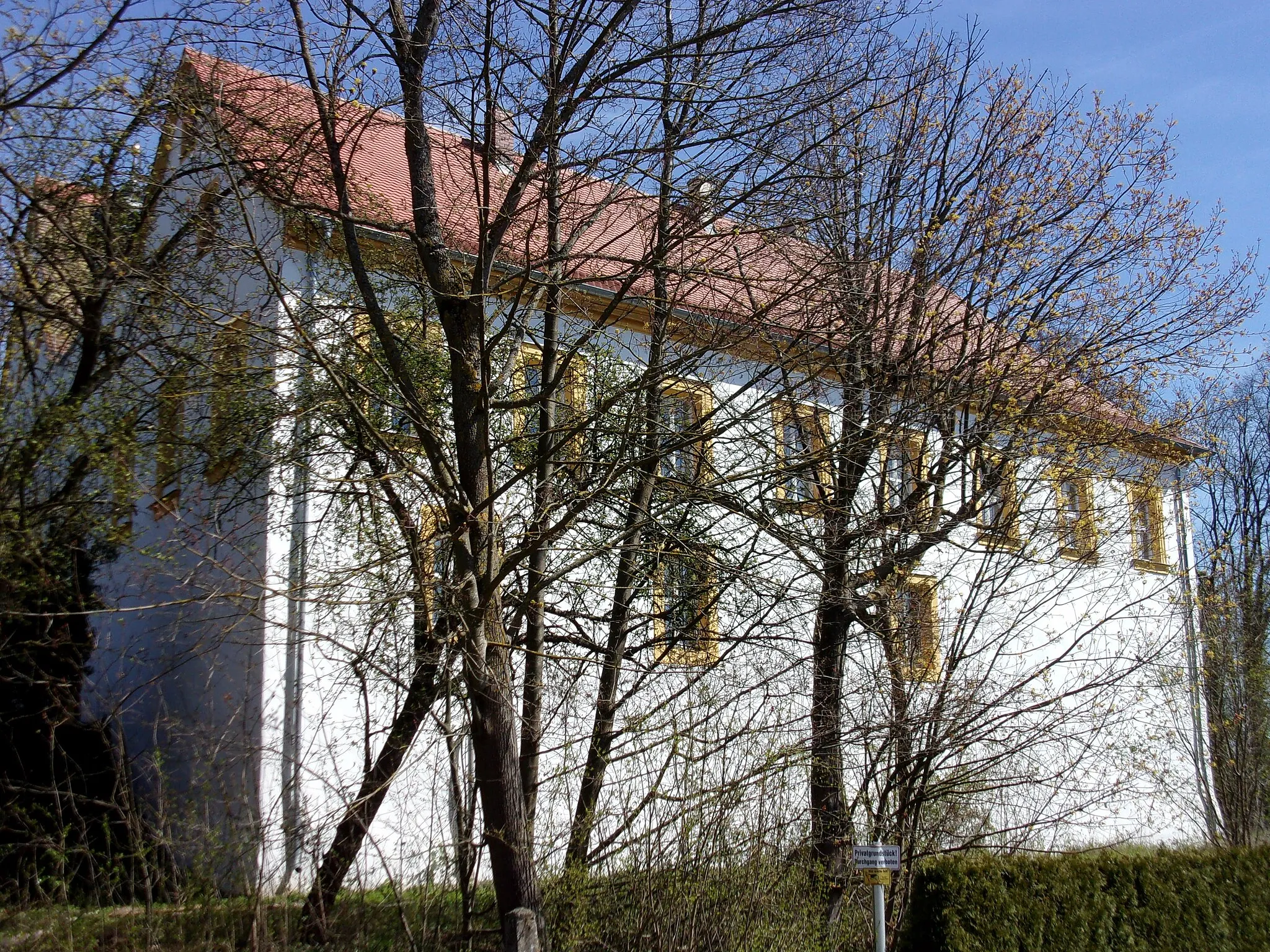
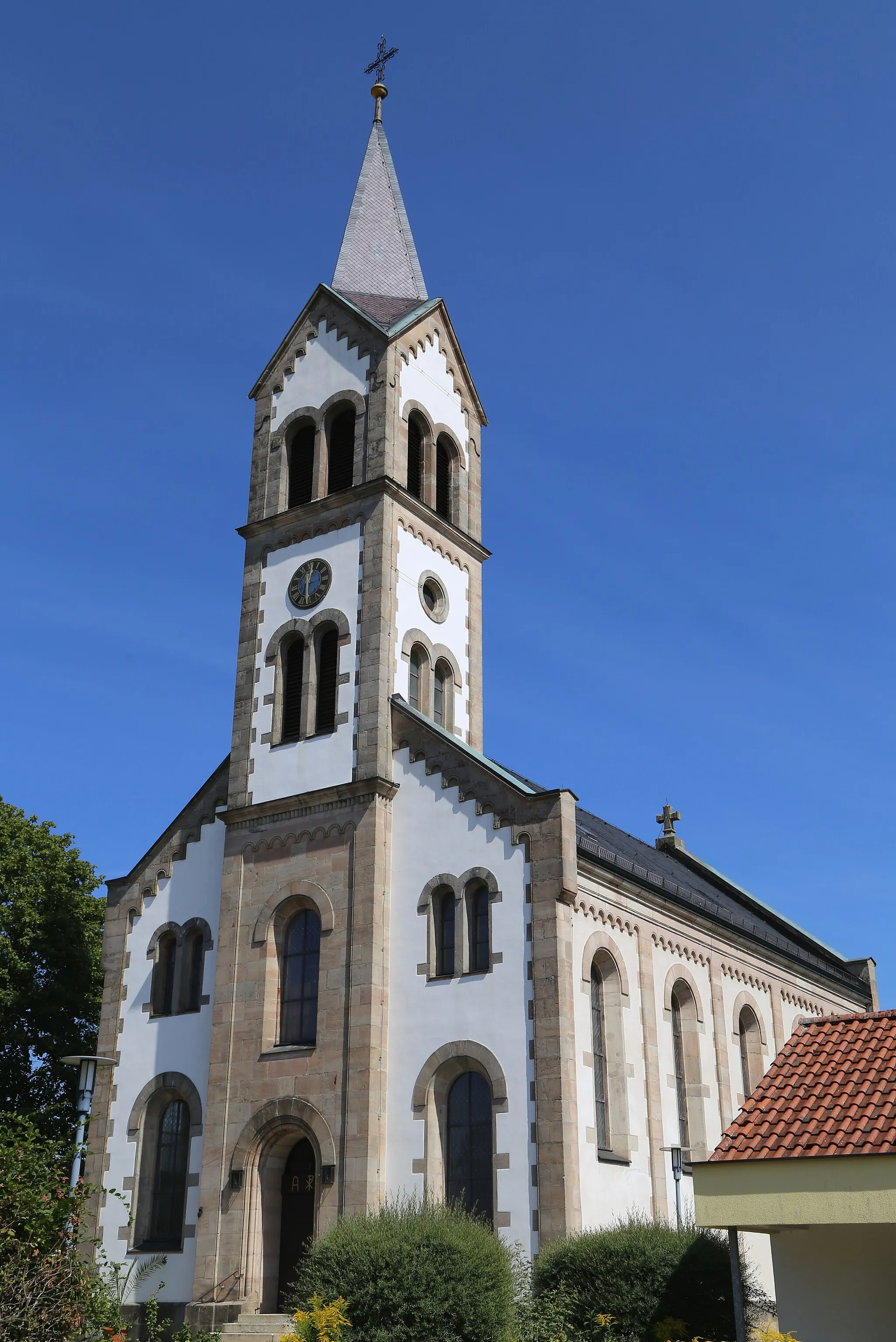
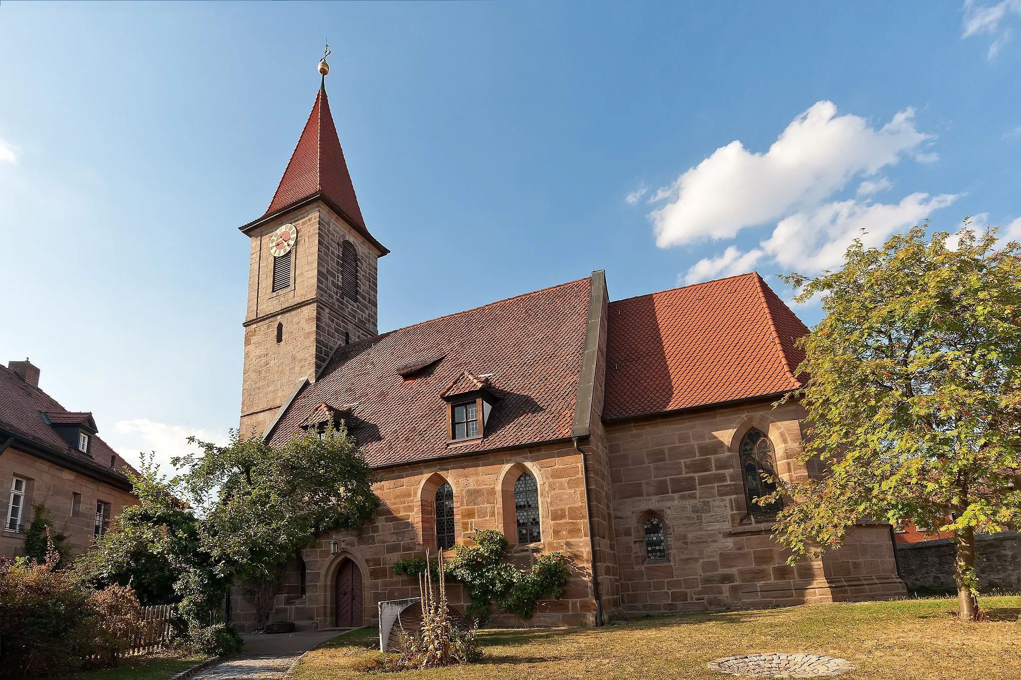
Herzogenaurach in Mittelfranken, Germany, offers diverse cycling routes suitable for road and gravel cyclists. The region features a mix of flat stretches, gentle slopes, and wooded areas. Cyclists can explore the charming landscapes, including idyllic villages and surrounding farmlands. While there are no famous cycling spots or well-known climbs directly in Herzogenaurach, the locality serves as an excellent starting point for cycling adventures towards the nearby Franconian Lake District and its scenic routes.
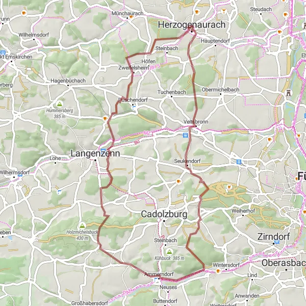
Gravel Adventure to Geiersberg
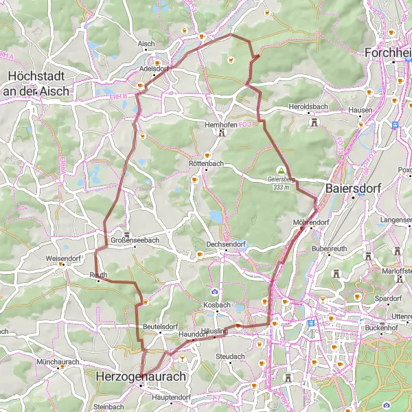
Escape from Herzogenaurach for an exciting gravel ride to Geiersberg
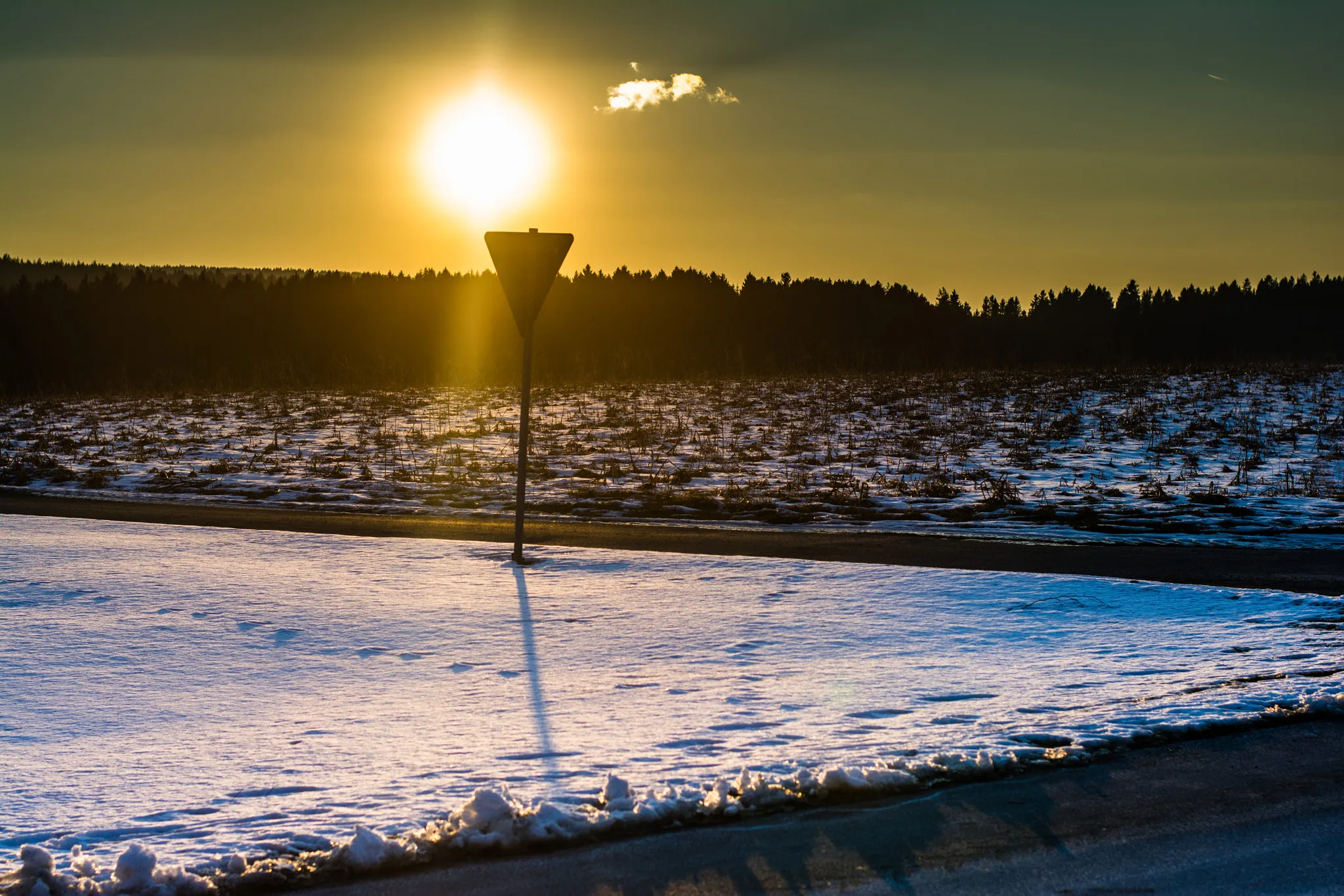
Embark on a thrilling off-road adventure from Herzogenaurach to Geiersberg. This gravel route offers a challenging ascent of 405 meters over a distance of 52 kilometers. Experience the beautiful countryside and explore highlights along the way.
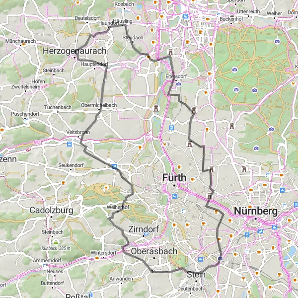
Escape to the tranquility of rural landscapes
Experience the ultimate countryside escape with this road cycling route near Herzogenaurach. With a total distance of 63 km and an ascent of 317 meters, this route offers a moderate challenge for intermediate riders. Immerse yourself in the beauty of the region as you pedal through Wagnersberg, Lerchenbühl, and Kleingründlach. Be sure to make a stop at the Aurachbrücke for a picturesque view of the river. The Hainberg-Blick viewpoint offers stunning panoramic views of the surrounding area and is a must-visit highlight. Score the highlights based on their attractiveness and desirability, and aim for a rank that accurately reflects their appeal.
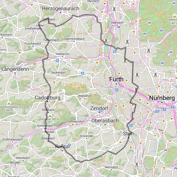
Discover hidden gems on a road journey from Herzogenaurach to Bug
Embark on a captivating road journey from Herzogenaurach to Bug. This 87-kilometer route features an ascent of 650 meters and takes you through picturesque landscapes, charming villages, and remarkable landmarks.
Embark on a thrilling road cycling experience through the beautiful landscapes starting near Herzogenaurach.
Discover the stunning landscapes surrounding Herzogenaurach with this 71-kilometer road cycling route, featuring an ascent of 639 meters. Begin your adventure in Herzogenaurach and explore highlights along the way such as Wintersdorf, Sandbuck, Unterschlauersbach, and Oberfembach. With its mixture of exhilarating climbs and scenic countryside, this route is suitable for experienced cyclists seeking a moderate challenge.
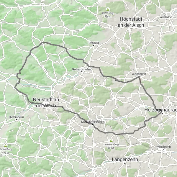
Discover the scenic hills and landmarks of Mittelfranken on this challenging road cycling route.
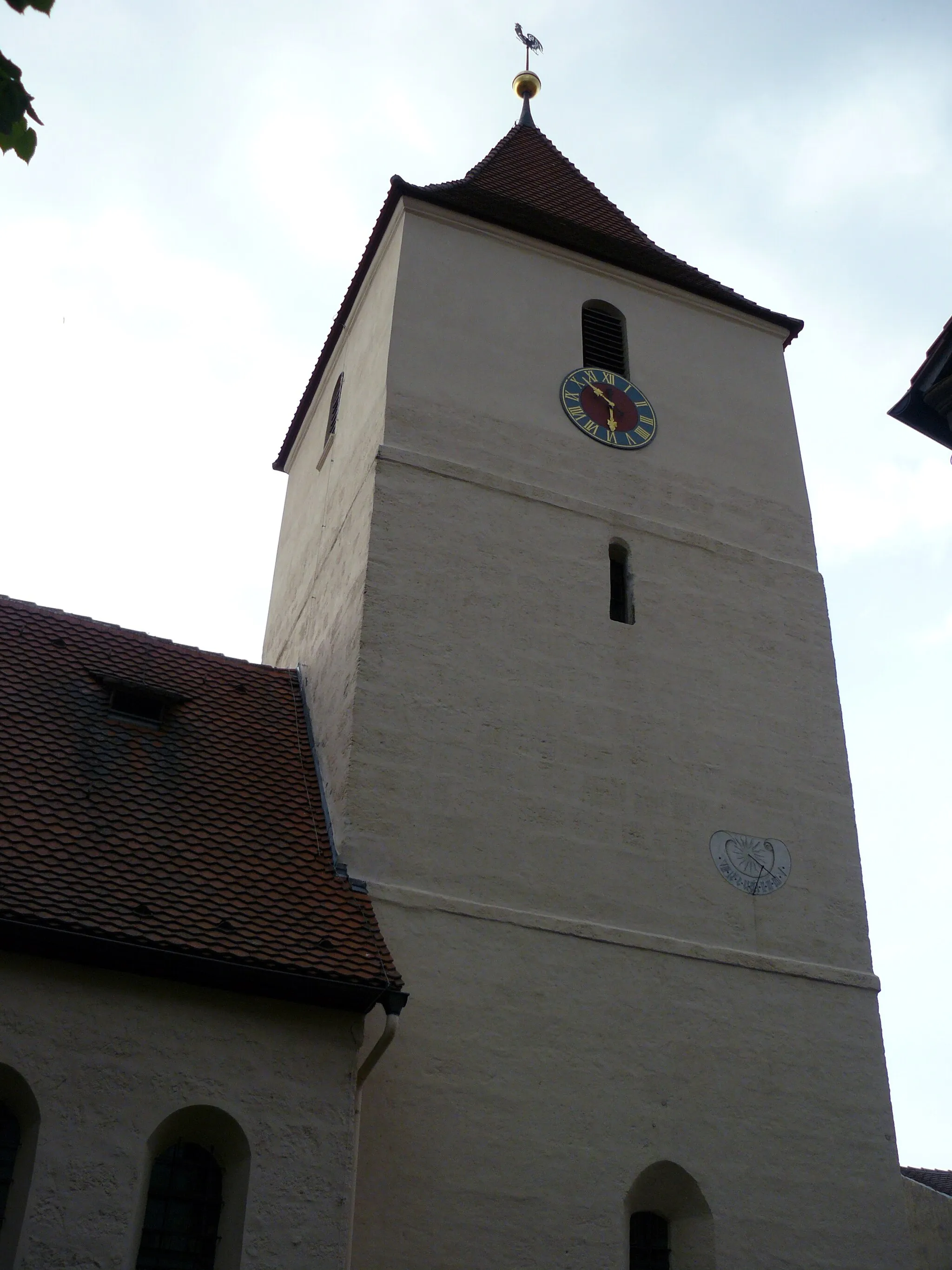
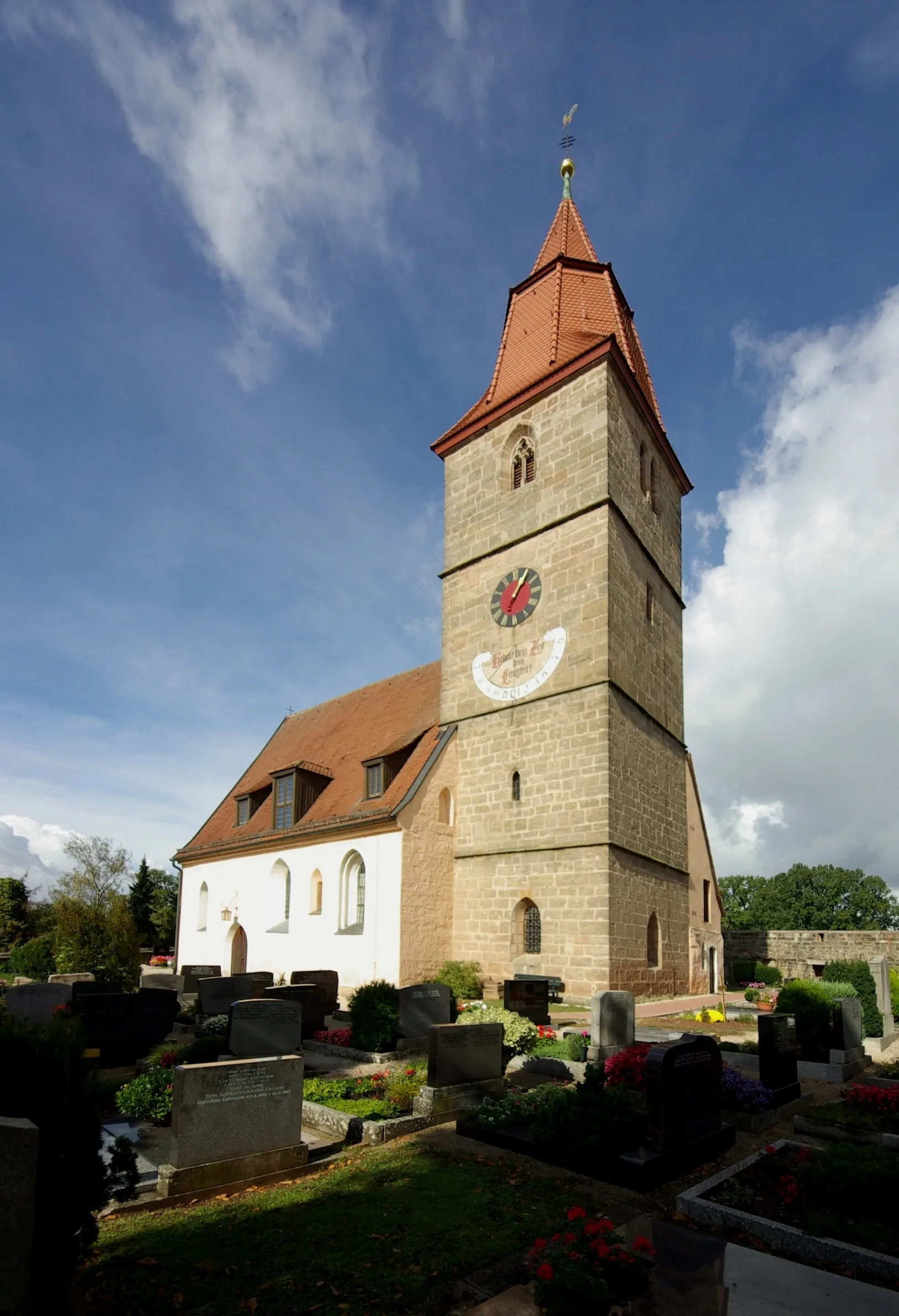
The Hills of Mittelfranken route takes you on a challenging journey through the region's rolling hills and remarkable landmarks. With a total ascent of 623 meters and a distance of 70 kilometers, this route is suitable for experienced cyclists looking for an adrenaline-packed adventure. Highlights include the historic town of Markt Emskirchen, the breathtaking viewpoints from Kapellsberg and Mittelsteinach, and the serenity of Schwelgenberg. Explore the beauty of the Herzogenaurach area and immerse yourself in nature's grandeur with this epic road cycling route.
Embark on an adventurous gravel ride through the scenic landscapes around Herzogenaurach.
For gravel enthusiasts seeking an exhilarating adventure, the Adventurous Gravel route offers a thrilling experience. With challenging terrains and exciting ascents, this 48-kilometer journey takes you off the beaten path. Highlights include the picturesque Kohlersmühle, the scenic Vogtsreichenbach, and the historic Steinerne Brücke (Stone Bridge). The route's high difficulty level makes it suitable for experienced cyclists and provides a perfect escapade for those seeking a memorable gravel adventure in the region.
Herzogenaurach Neuses Loop
Explore the charming village of Neuses
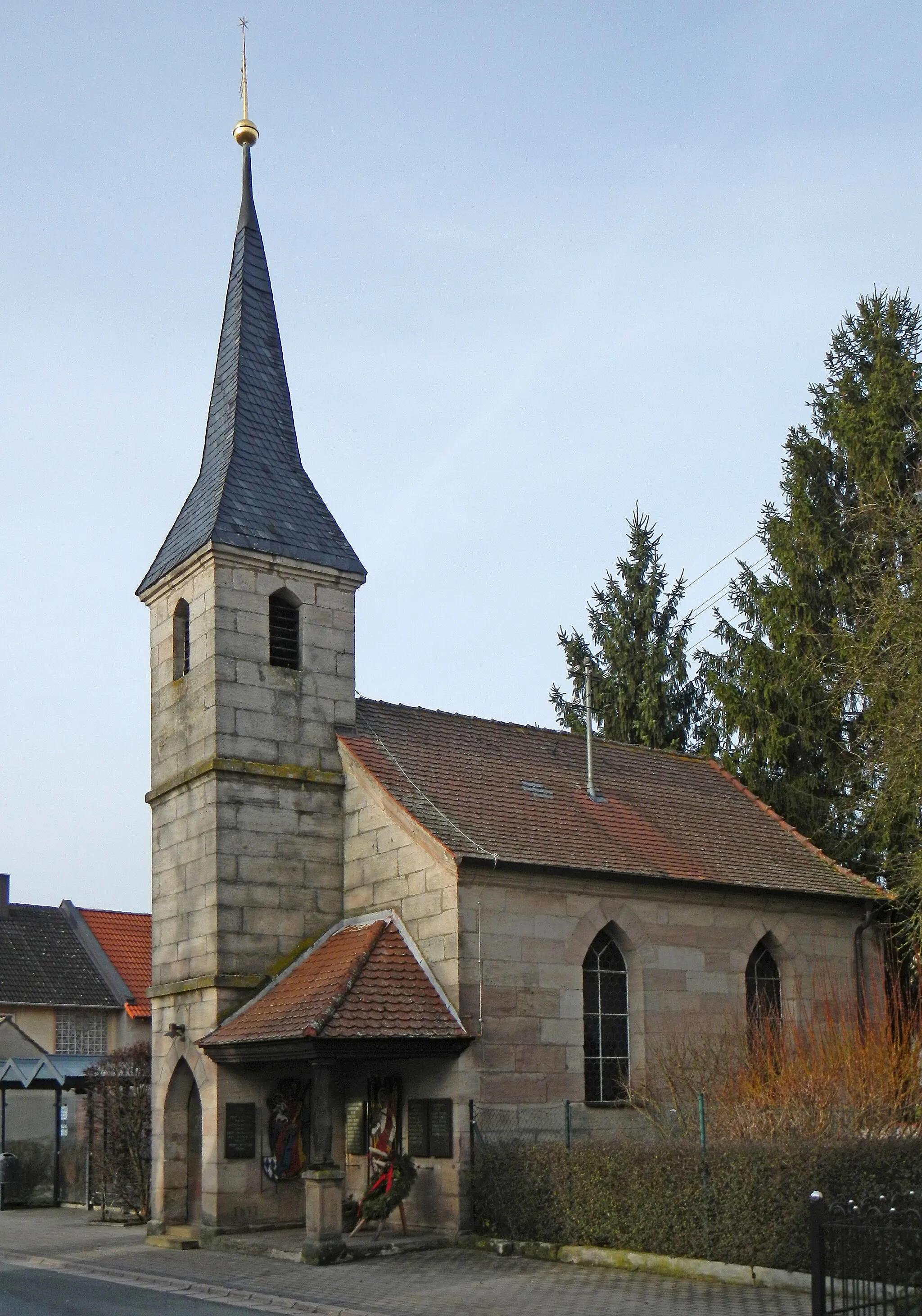
This road cycling route takes you on a scenic journey through the beautiful countryside surrounding Herzogenaurach. Prepare to be mesmerized by the picturesque village of Neuses, famous for its traditional Franconian architecture. With a total distance of 68 km and an ascent of 448 meters, this route offers a moderate challenge for experienced riders. Enjoy the serene landscapes and rural charm as you pedal through Wagnersberg, Lerchenbühl, and Gaismannshof. Be sure to make a stop at the Aussichtsturm Cadolzburg for breathtaking views of the surrounding area. A highlight of the route is Großweismannsdorf, known for its historic buildings and tranquil atmosphere. Score the highlights based on their attractiveness and desirability, and aim for a rank that accurately reflects their appeal.
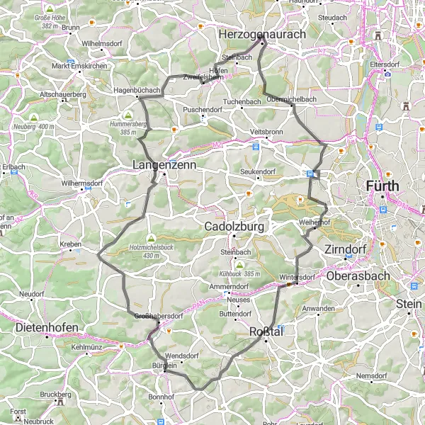
Herzogenaurach Round Trip
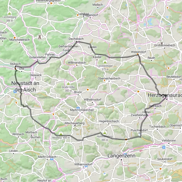
Experience the scenic landscapes of Mittelfranken on this challenging road cycling route starting and ending in Herzogenaurach.
This round-trip cycling route starting near Herzogenaurach takes you through the picturesque landscapes of Mittelfranken. With a total distance of 63 kilometers and an ascent of 567 meters, this route is perfect for cyclists looking for a moderate challenge. The route passes by several highlights such as Erlachsmühle, Hummersberg, Neidhardswinden, Neuberg, Stübach, Kapellberg, Rezelsdorf, Schwelgenberg, and concludes in Herzogenaurach.

Take on the ultimate mountain challenge
For those seeking a true test of their cycling skills, this road cycling route promises an adrenaline-pumping mountain challenge near Herzogenaurach. With a total distance of 99 km and a challenging ascent of 910 meters, this route is not for the faint of heart. Experience the thrill of conquering Schwelgenberg and revel in the stunning vistas that await you at the summit. As you navigate through Oberreichenbach and Büchhöhe, be prepared for heart-pounding climbs and exhilarating descents. Eckberg and Sambach offer breathtaking views and are highlights not to be missed. Score the highlights based on their attractiveness and desirability, and aim for a rank that accurately reflects their appeal.
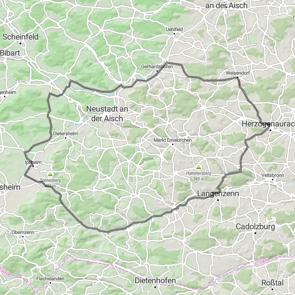
Embark on a scenic road tour from Herzogenaurach to Schwelgenberg
Explore the picturesque routes from Herzogenaurach to Schwelgenberg. This road tour covers a distance of 91 kilometers with a challenging ascent of 582 meters. Enjoy beautiful landscapes, charming villages, and iconic landmarks along the way.
Cycling routes nearby:
Nearby regions: