Herzogenaurach Mountain Challenge
A road cycling route starting from Herzogenaurach
Take on the ultimate mountain challenge
Map

For those seeking a true test of their cycling skills, this road cycling route promises an adrenaline-pumping mountain challenge near Herzogenaurach. With a total distance of 99 km and a challenging ascent of 910 meters, this route is not for the faint of heart. Experience the thrill of conquering Schwelgenberg and revel in the stunning vistas that await you at the summit. As you navigate through Oberreichenbach and Büchhöhe, be prepared for heart-pounding climbs and exhilarating descents. Eckberg and Sambach offer breathtaking views and are highlights not to be missed. Score the highlights based on their attractiveness and desirability, and aim for a rank that accurately reflects their appeal.
road
99 km
910 m
Savage
Route profile
Highlights on the route
0 km
0 km
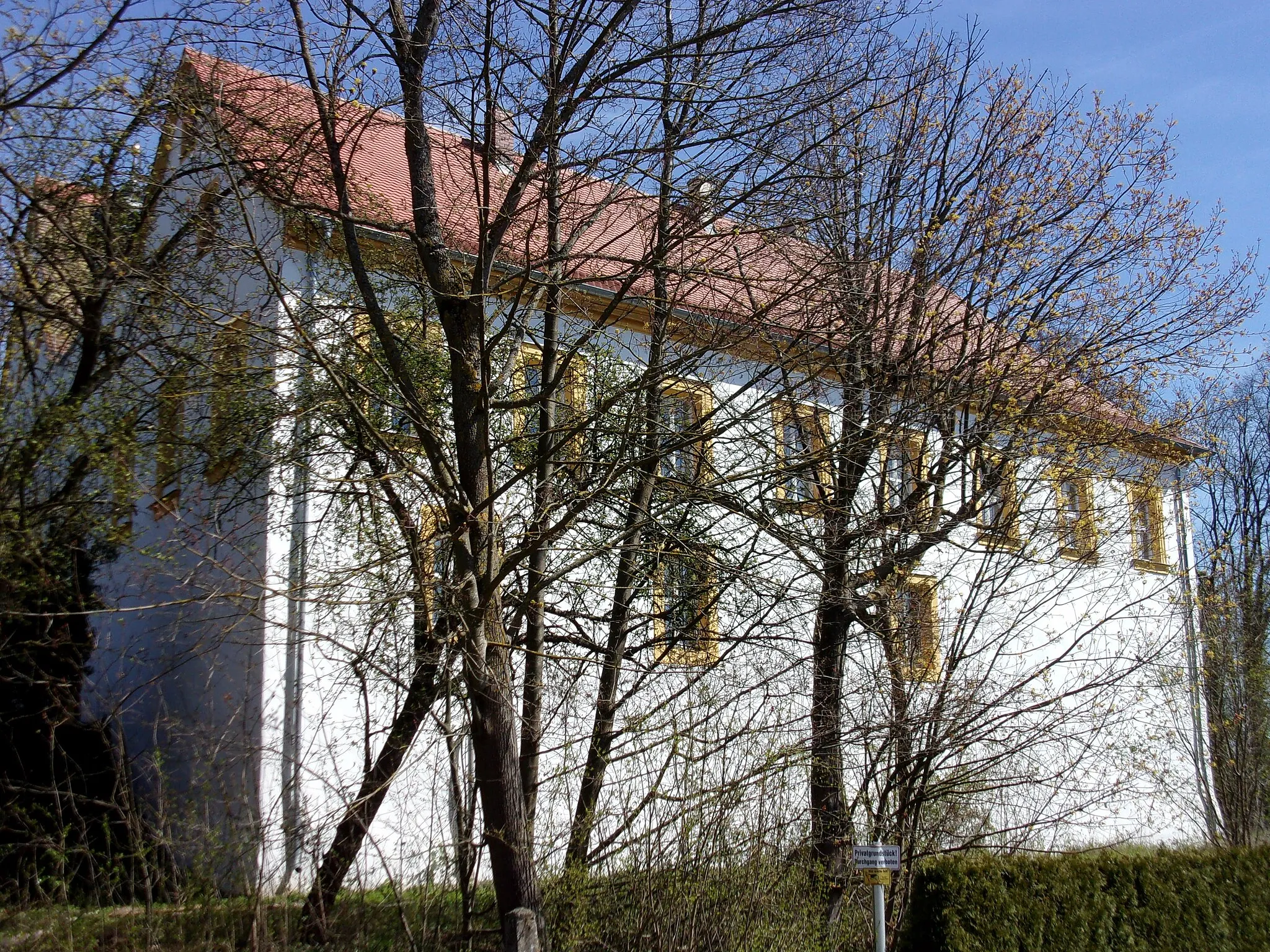
Start: Herzogenaurach City centerHerzogenaurach: Embark on cycling adventures in Herzogenaurach
Herzogenaurach in Mittelfranken, Germany, offers diverse cycling routes suitable for road and gravel cyclists. The region features a mix of flat stretches, gentle slopes, and wooded areas. Cyclists can explore the charming landscapes, including idyllic villages and surrounding farmlands. While there are no famous cycling spots or well-known climbs directly in Herzogenaurach, the locality serves as an excellent starting point for cycling adventures towards the nearby Franconian Lake District and its scenic routes.1 km
1 km
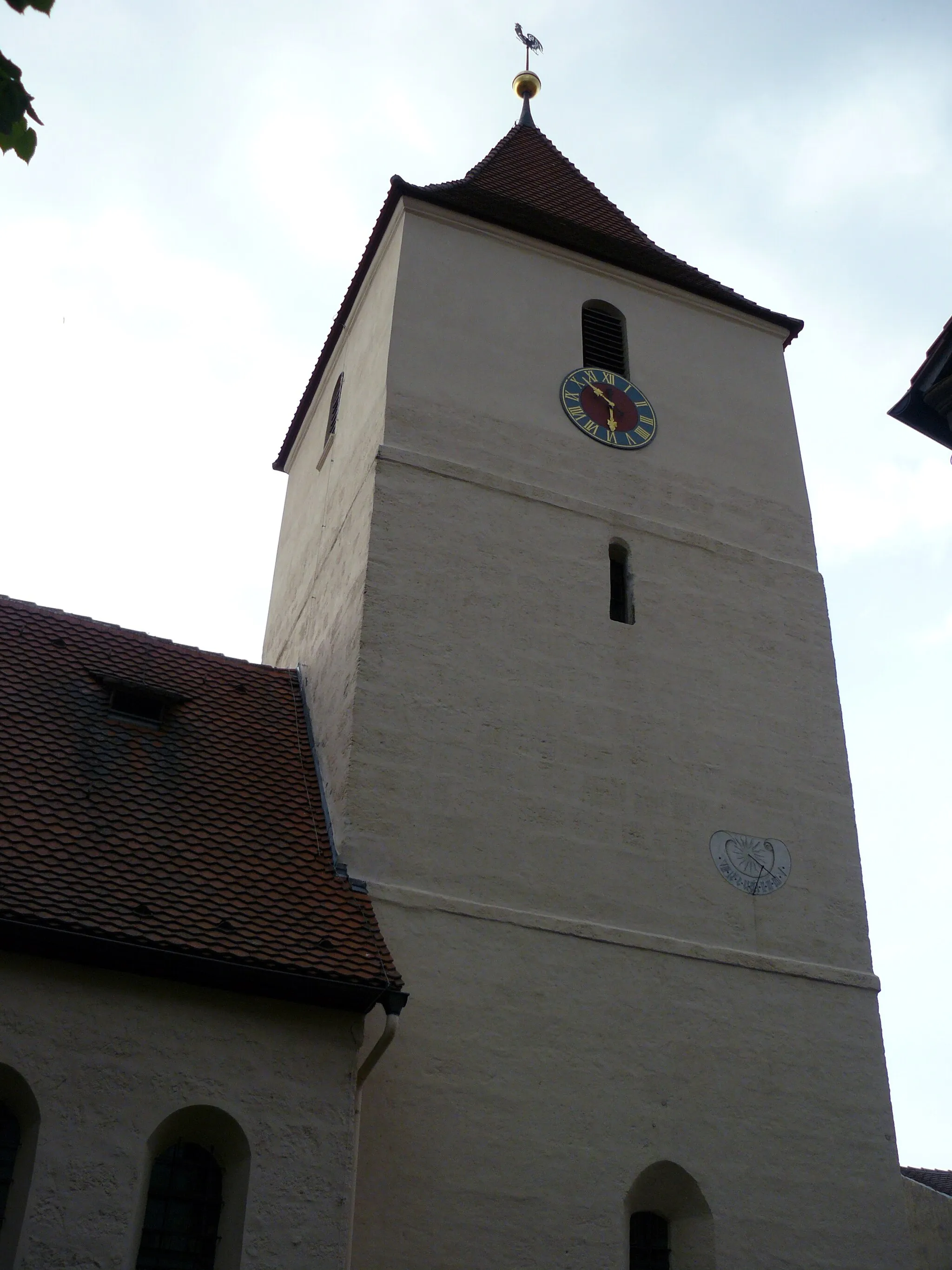
Schwelgenberg327 mPeakSchwelgenberg is a legendary climb renowned for its challenging gradients and rewards with awe-inspiring panoramic scenery from the summit. Test your climbing skills on this legendary ascent.
9 km
9 km
OberreichenbachVillageEnjoy the thrill of descending through the winding roads of Oberreichenbach. Marvel at the exhilarating speed as you make your way down this exciting stretch.
20 km
20 km
Büchhöhe337 mPeakBüchhöhe is a challenging climb that puts your strength and endurance to the test. Push yourself to the limit as you conquer this formidable ascent.
24 km
24 km
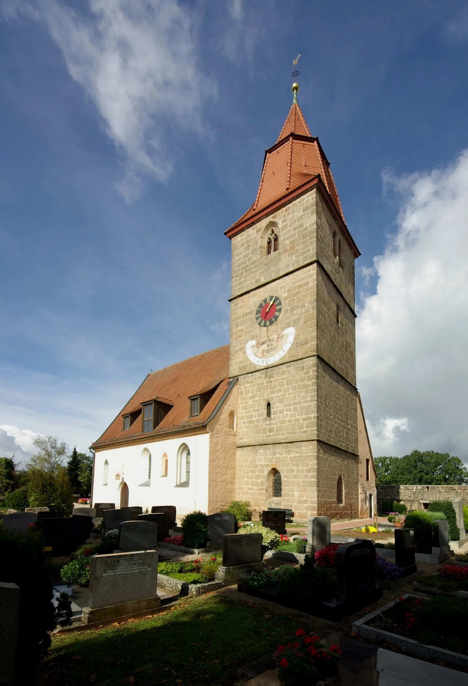
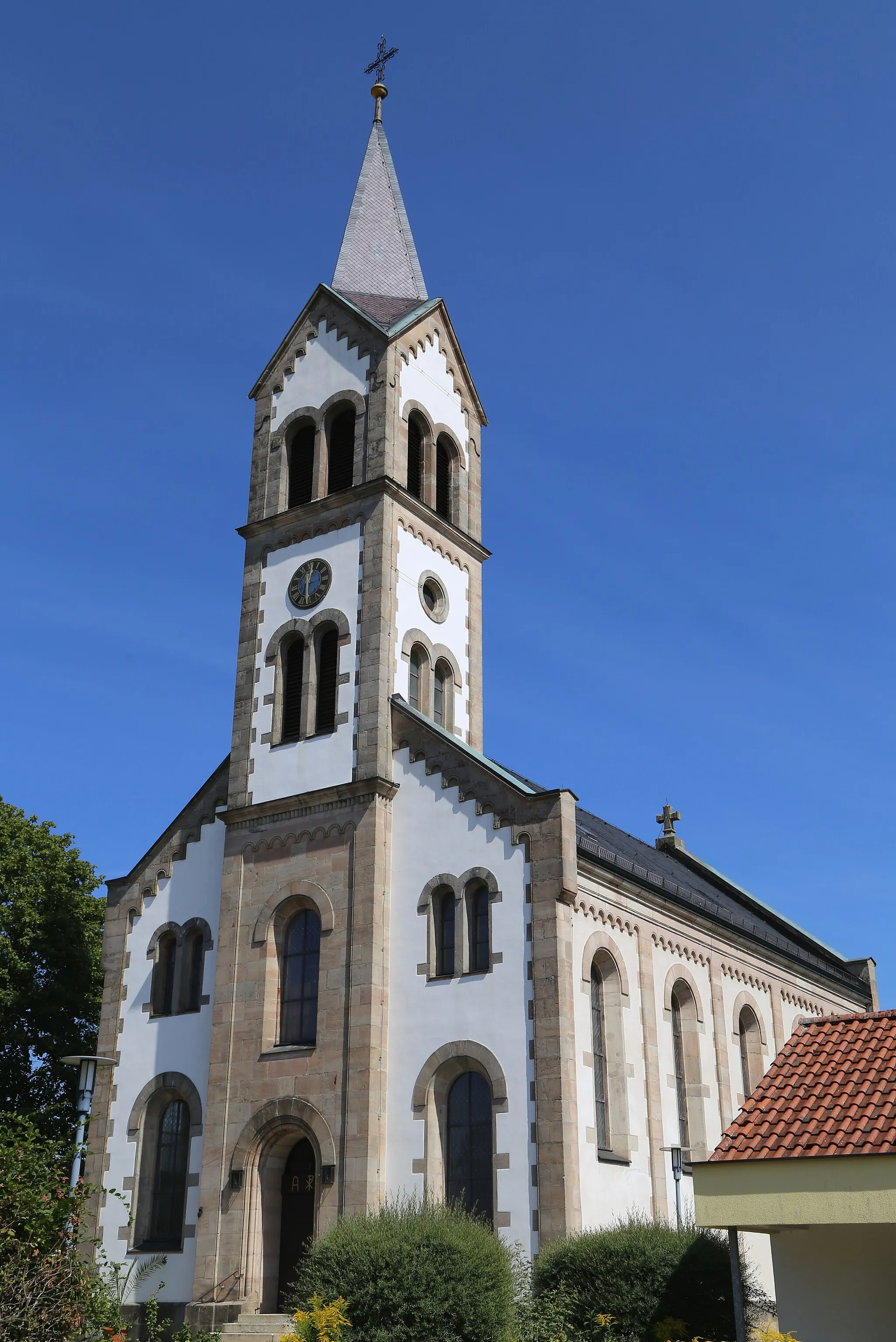
SchornweisachVillageSchornweisach offers a mix of rolling hills and picturesque landscapes, making it a captivating highlight along the route. Take a moment to appreciate the natural beauty.
35 km
35 km
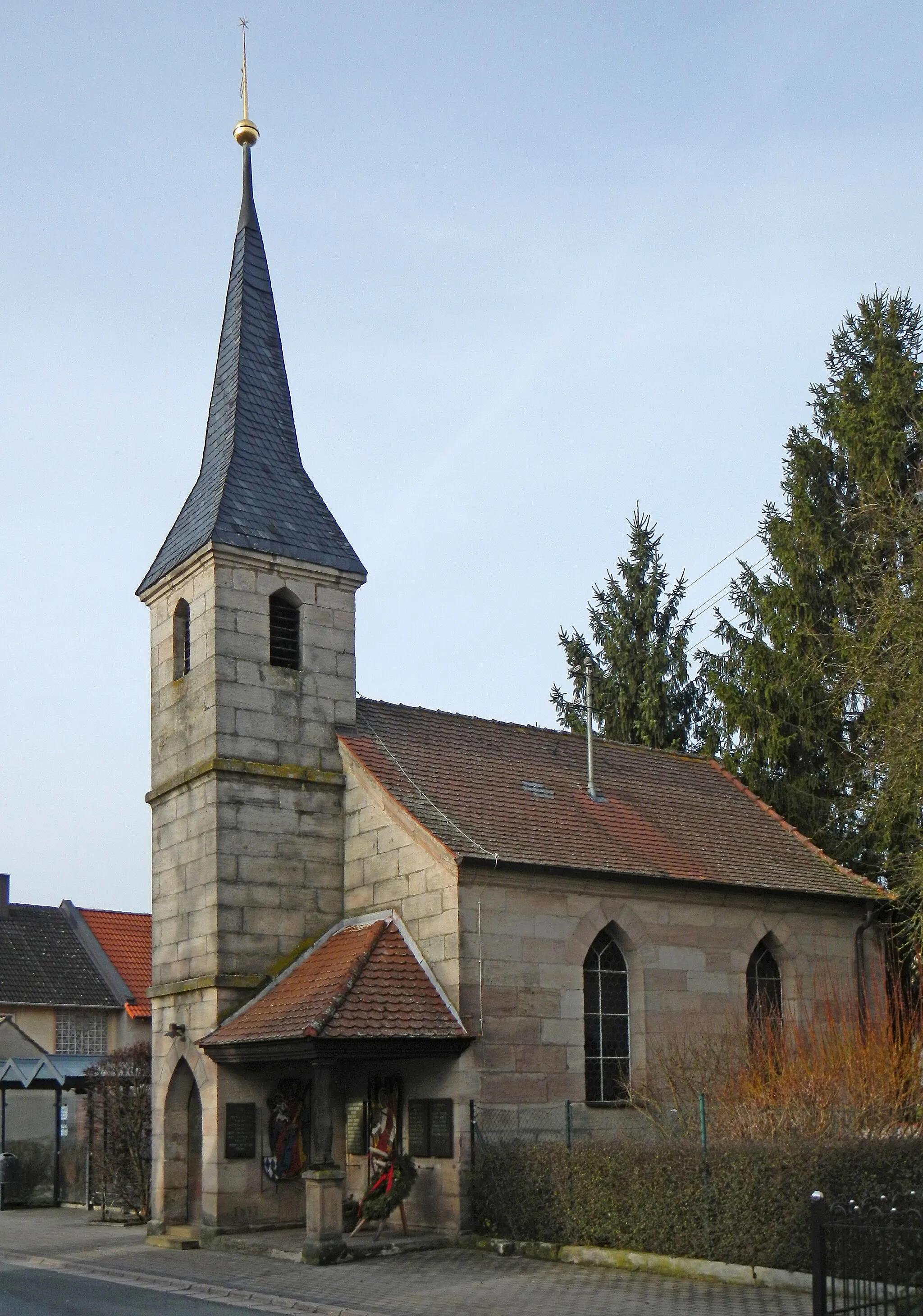
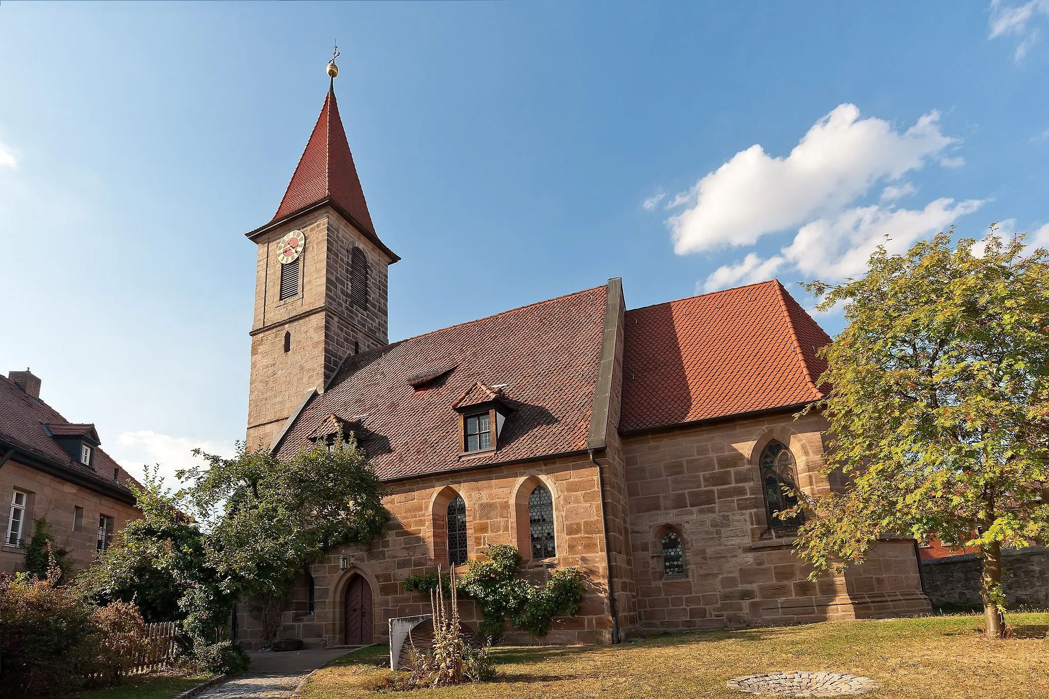
AttelsdorfVillageAttelsdorf is a scenic area filled with breathtaking vistas. Marvel at the stunning views as you ride through this picturesque section of the route.
47 km
47 km
Eckberg341 mPeakEckberg rewards riders with panoramic views of the surrounding countryside. Take a moment to soak in the beauty and admire the awe-inspiring landscapes.
70 km
70 km
SambachVillageSambach offers a challenging climb and stunning views, making it a cherished highlight for experienced riders. Test your climbing skills on this exhilarating ascent.
88 km
88 km
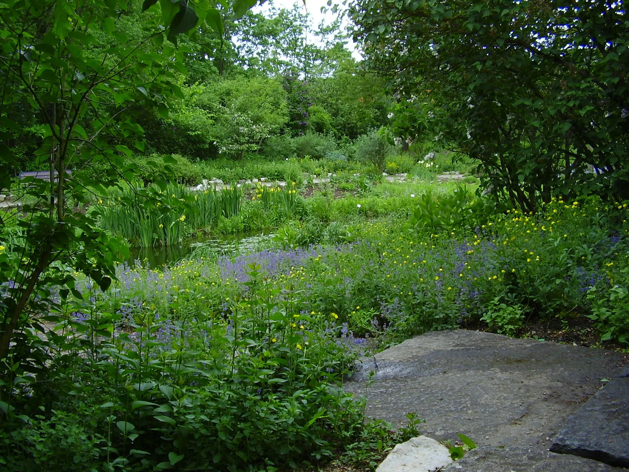
KlebheimVillageKlebheim is a peaceful village known for its tranquility and charm. Take a moment to rest and soak in the relaxed atmosphere before continuing your journey.
97 km
97 km
BeutelsdorfVillageBeutelsdorf provides picturesque views of the countryside. Pause to appreciate the natural beauty before continuing your mountain challenge.
99 km
99 km
Finish: Herzogenaurach City centerHerzogenaurach: Embark on cycling adventures in Herzogenaurach
Cycling routes from Herzogenaurach:
The Hills of Mittelfranken Herzogenaurach Gravel Adventure Scenic Road Tour to Schwelgenberg Road Journey to Bug Gravel Adventure to Geiersberg Gravel Journey to Wintersdorf Herzogenaurach Neuses Loop Herzogenaurach Countryside Escape The Adventurous Gravel Scenic Adventure from Herzogenaurach Herzogenaurach Mountain Challenge Herzogenaurach Round Trip
Cycling routes nearby: