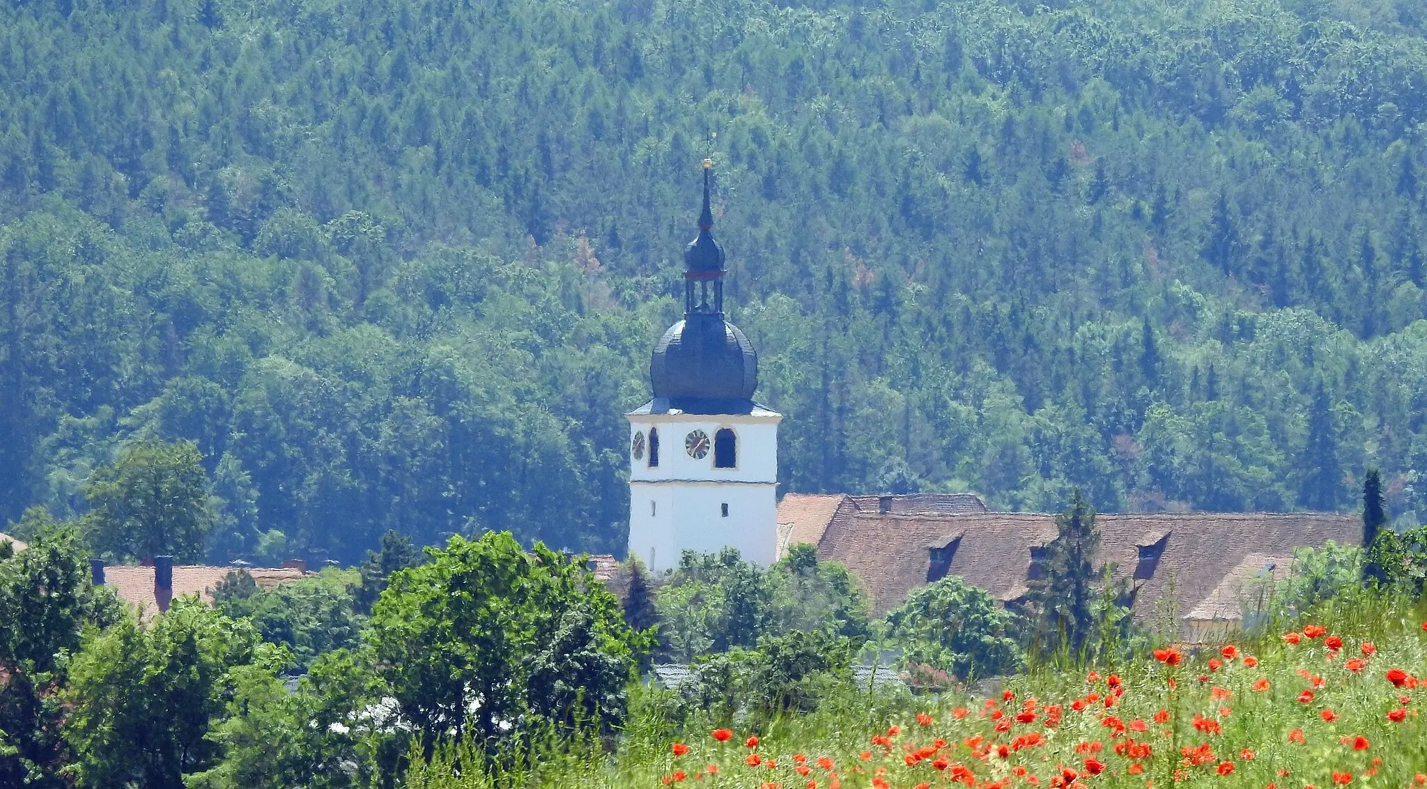
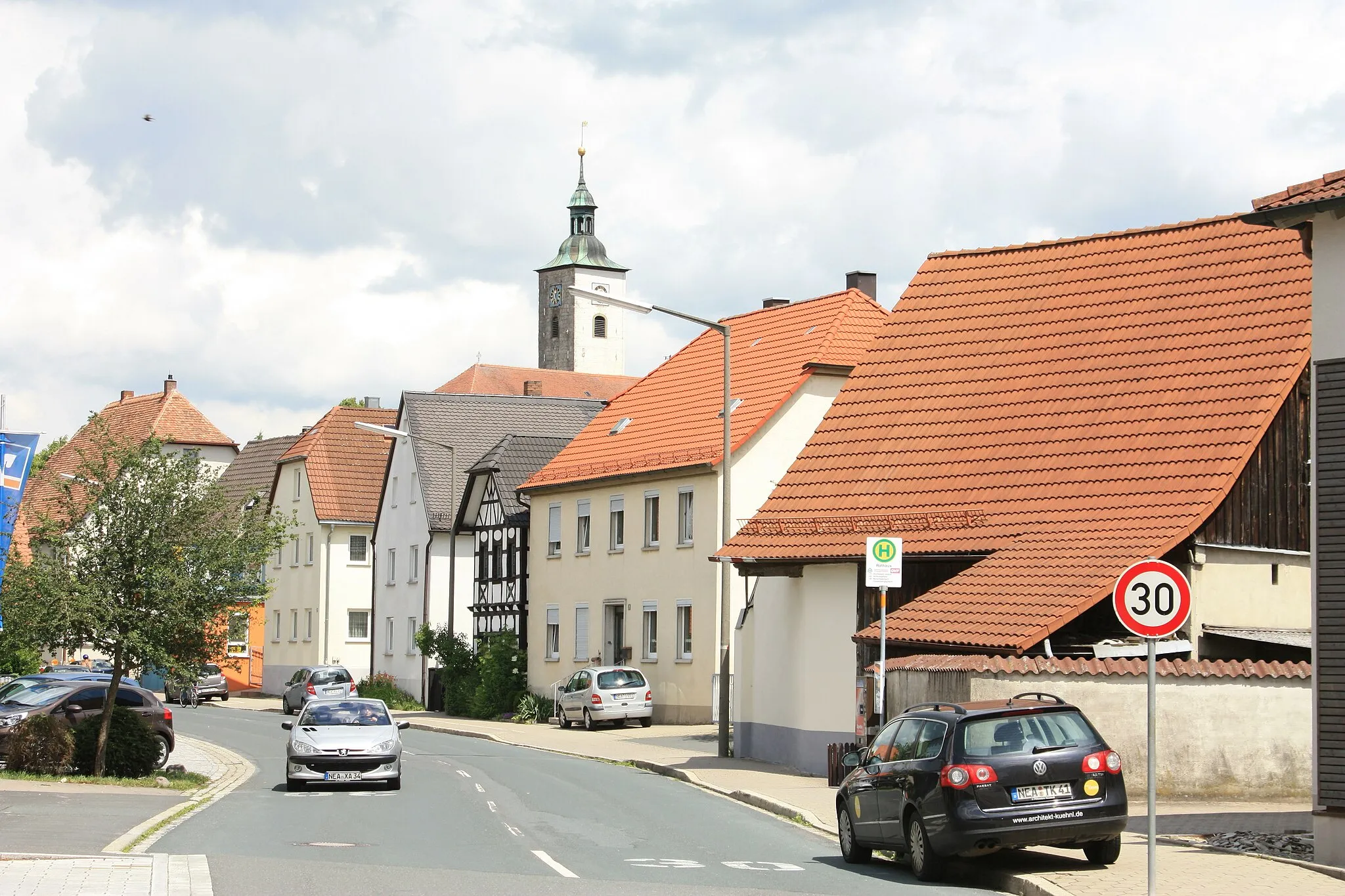
Explore the scenic charm of Sugenheim in Mittelfranken, Germany while cycling along well-maintained roads and experiencing Bavarian hospitality.
Cycling routes from Sugenheim
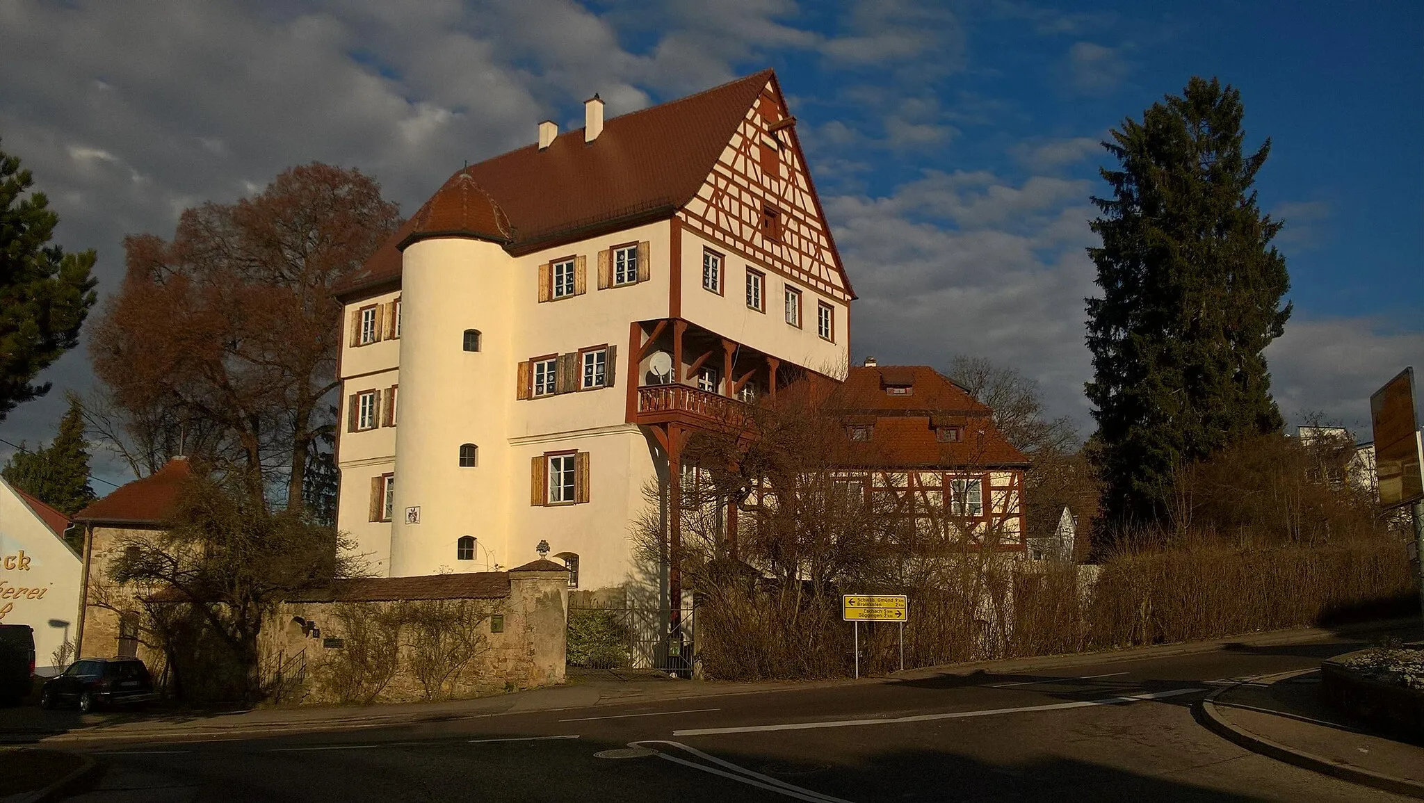
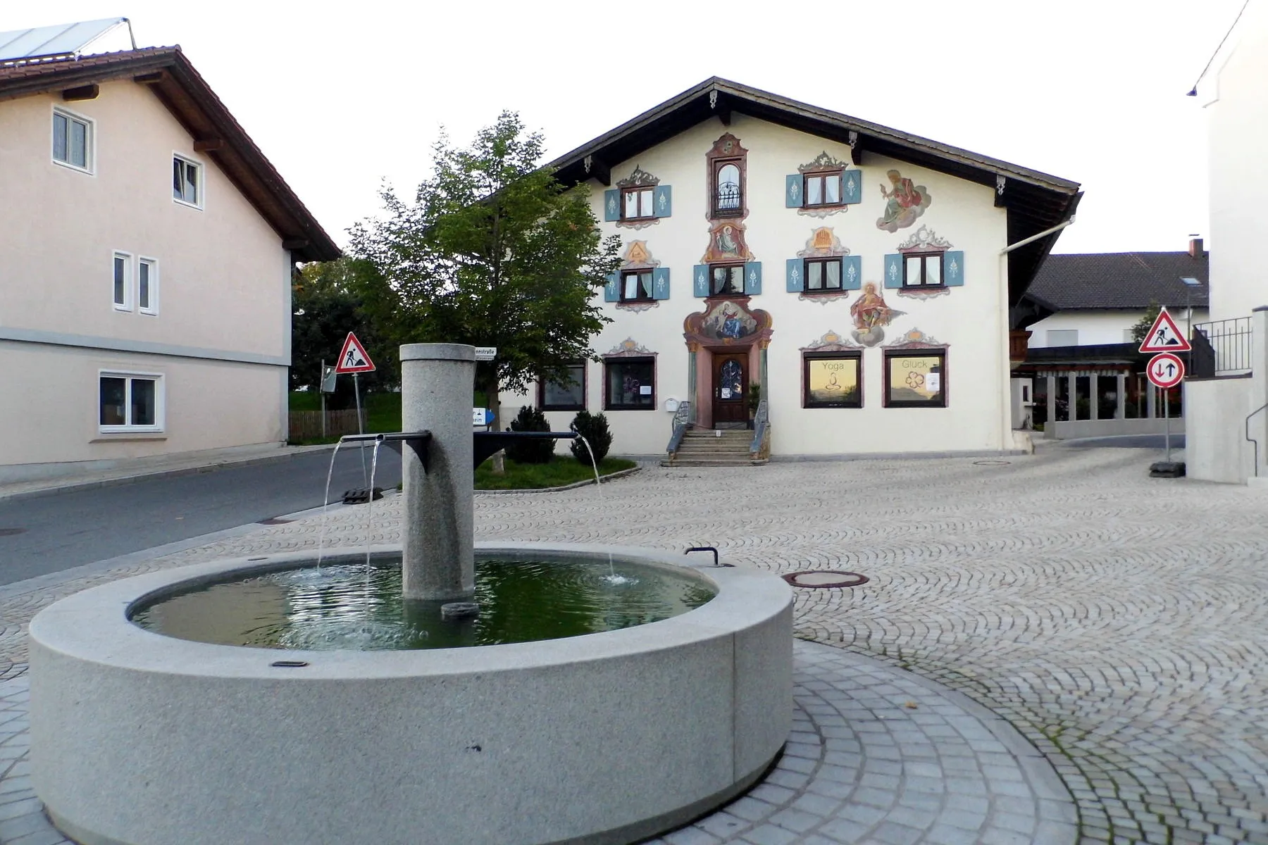
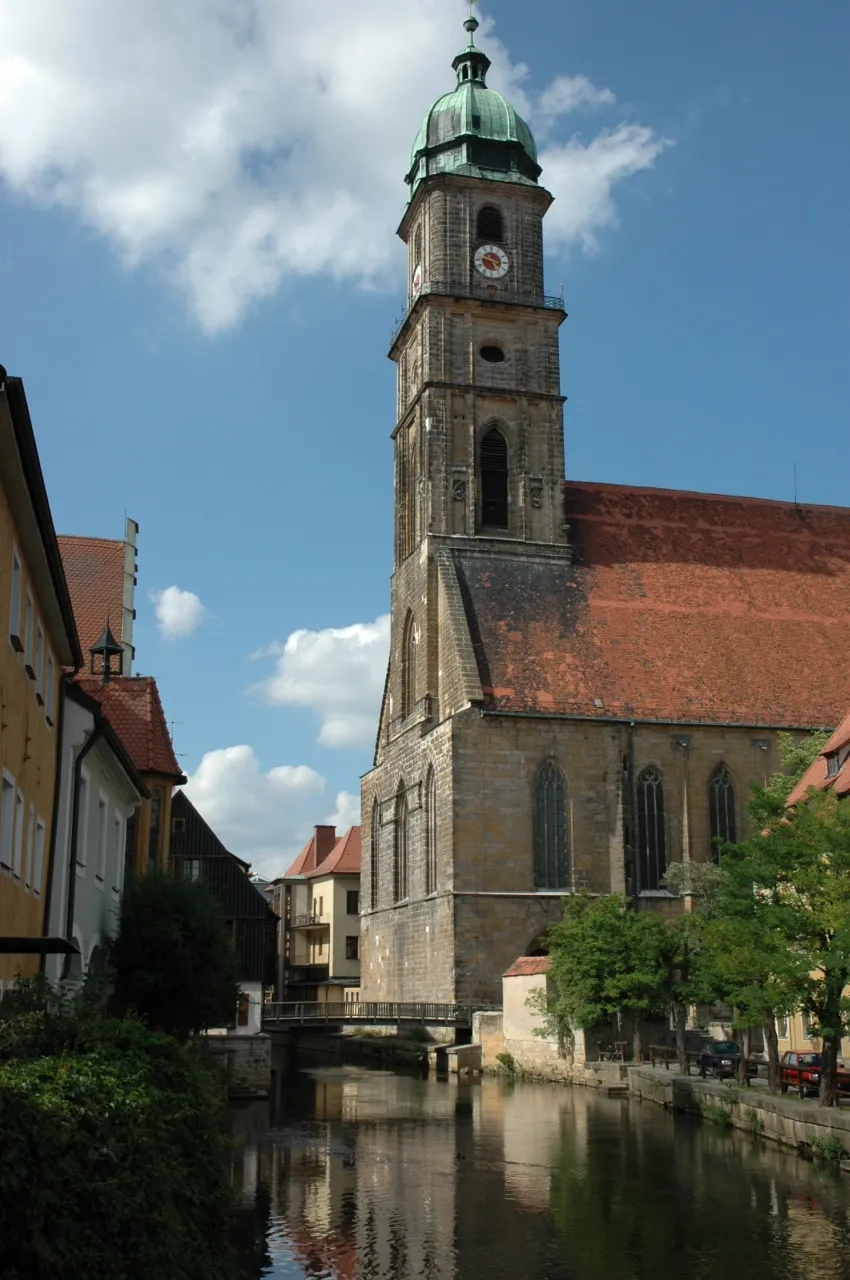
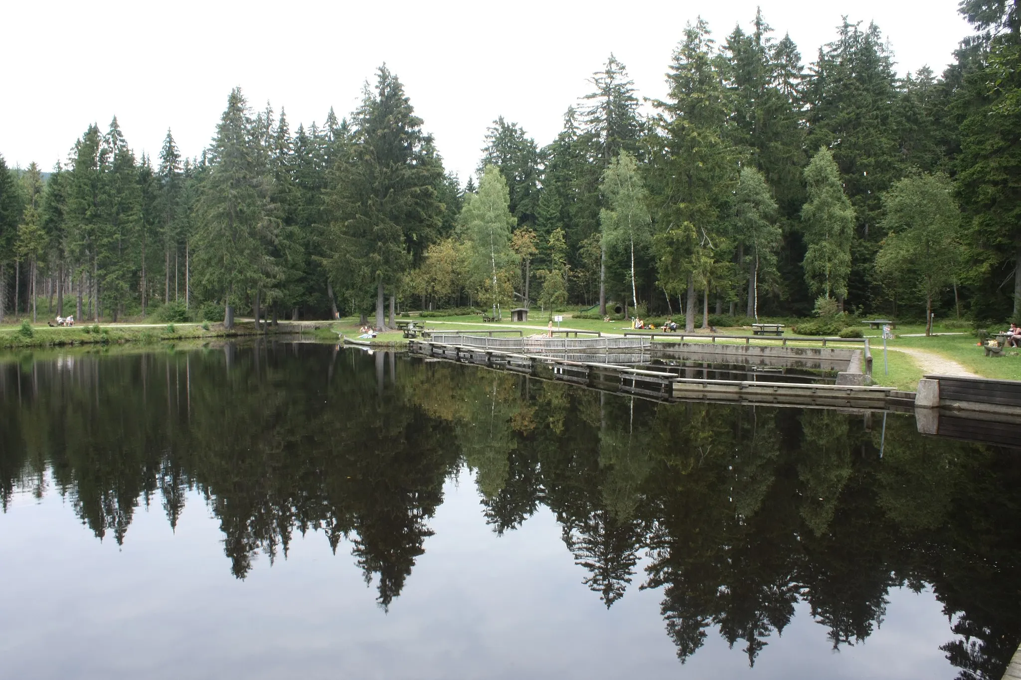
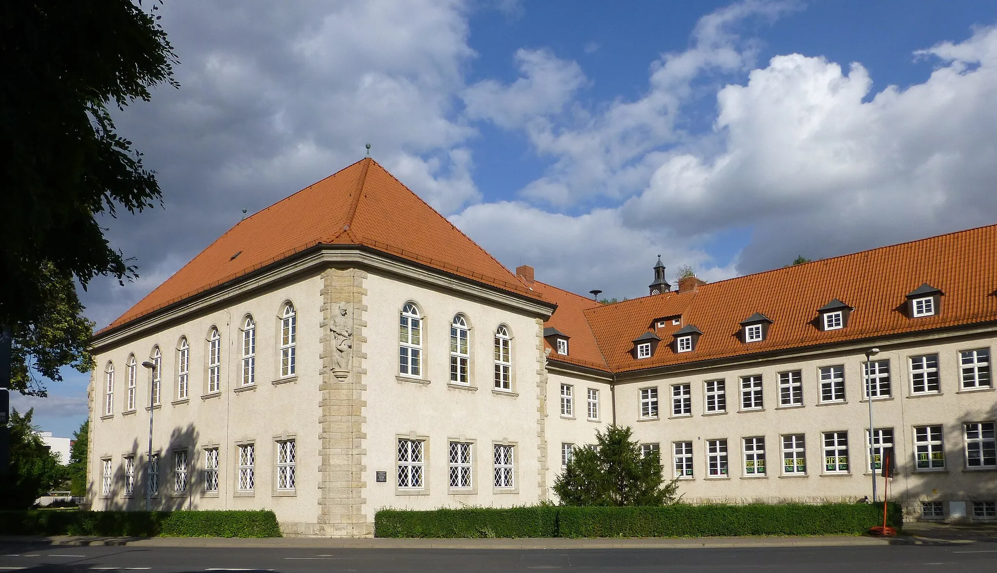
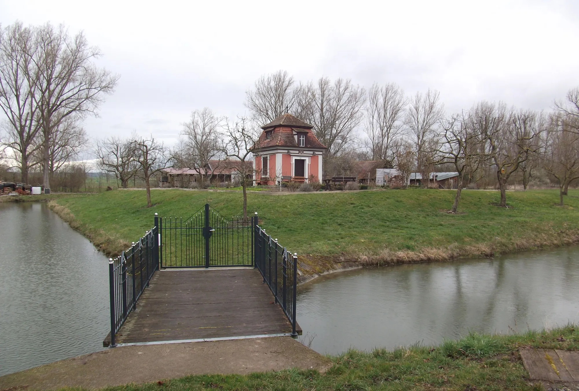
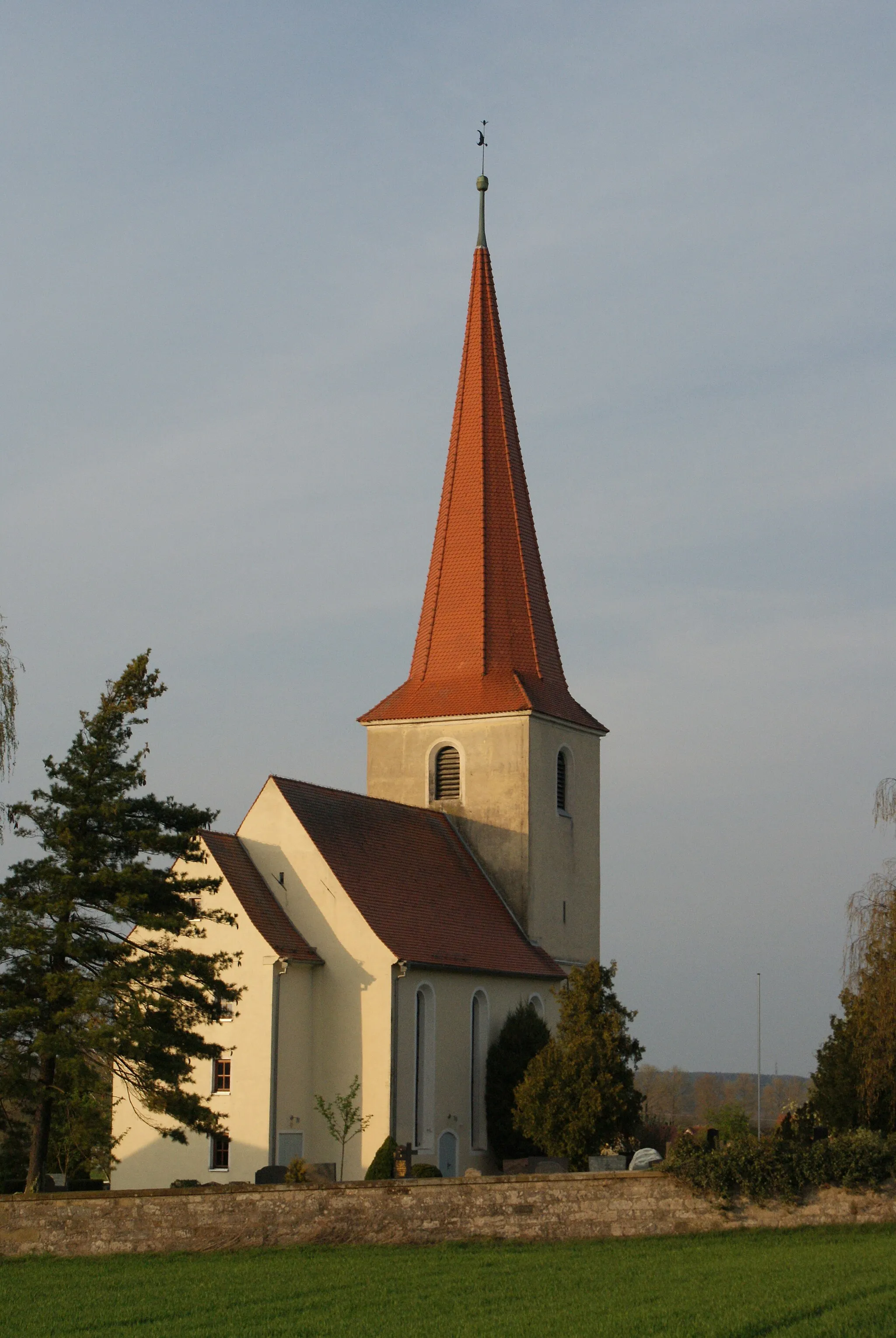
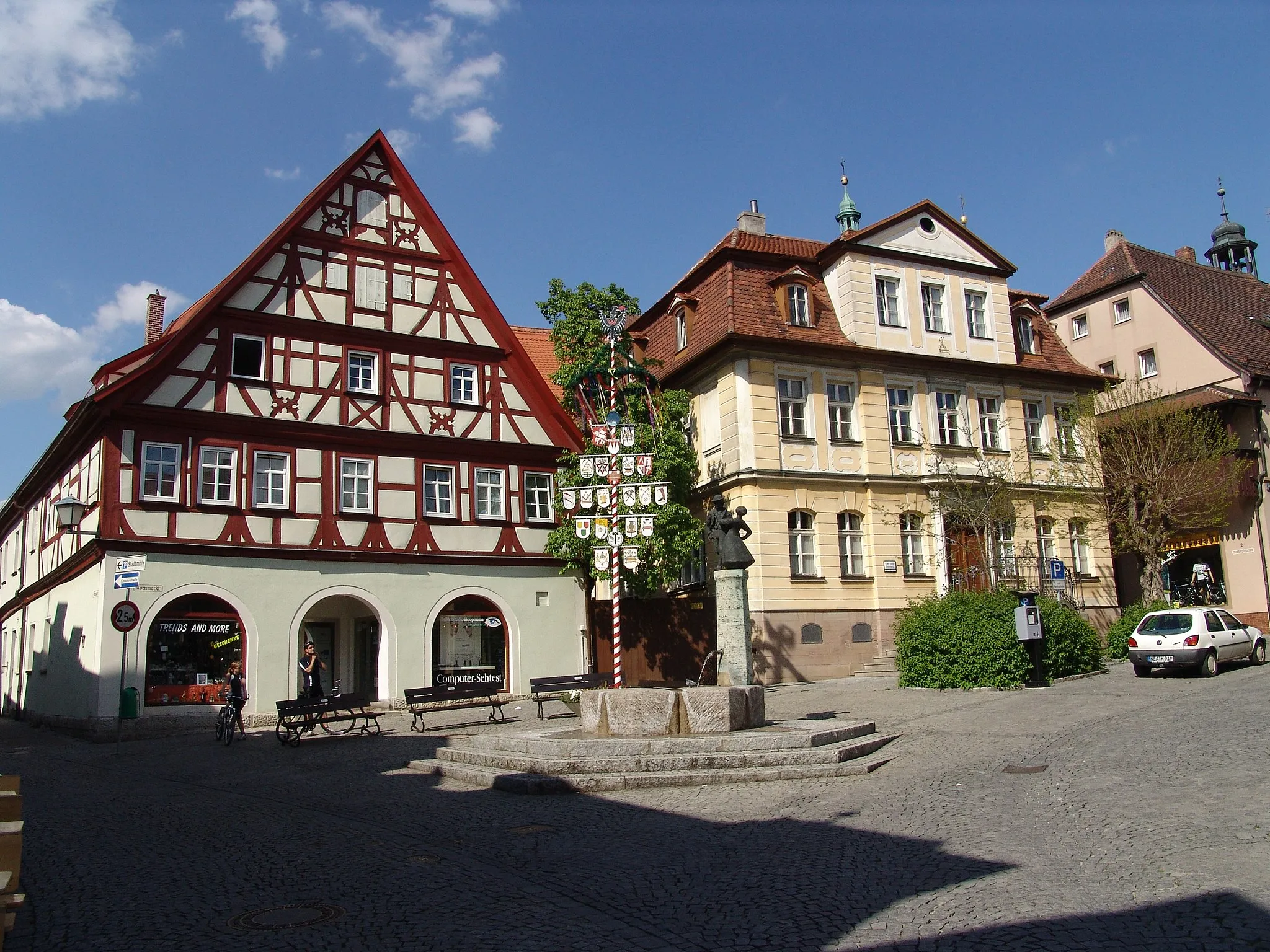
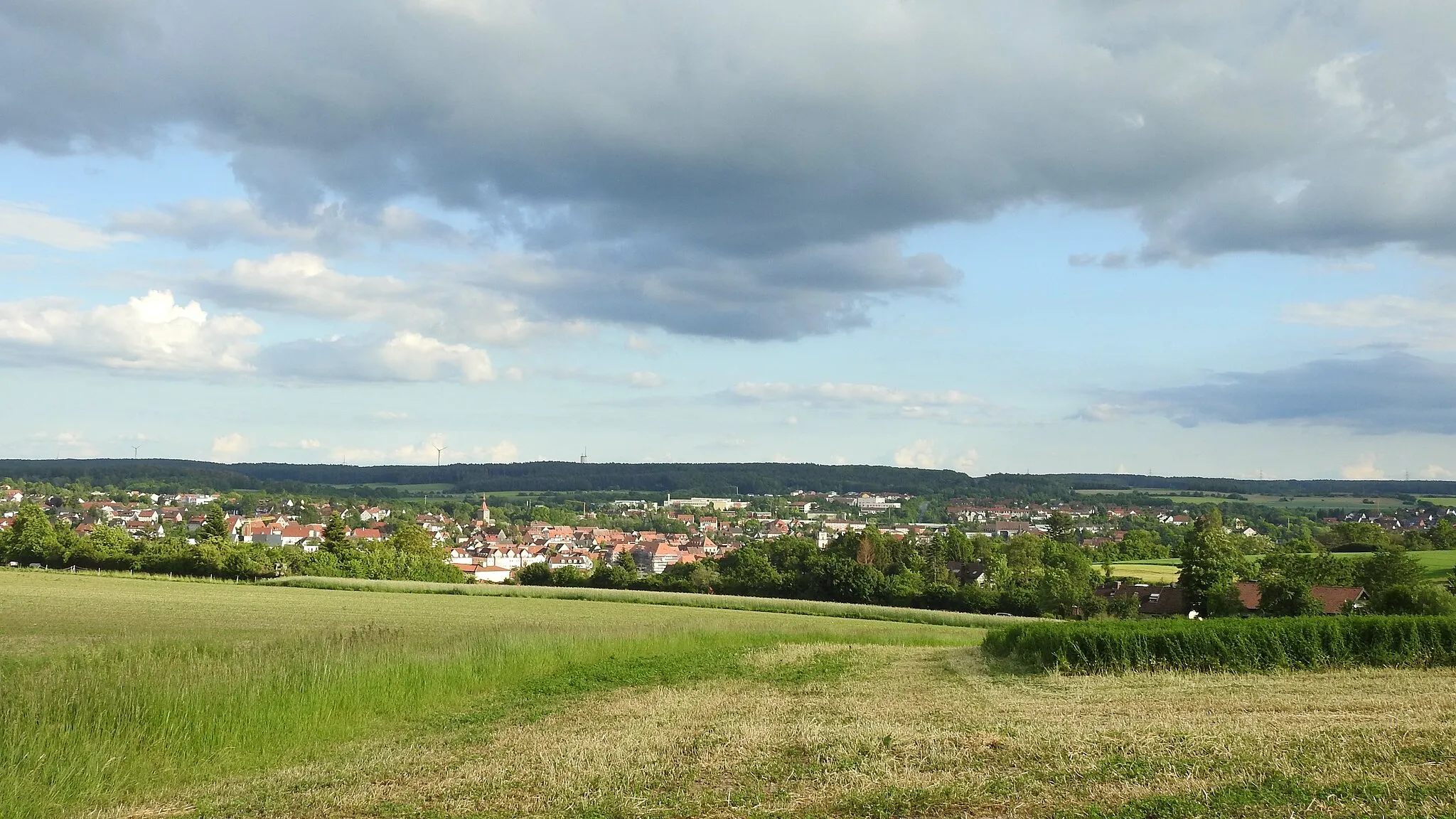
Sugenheim, situated in Mittelfranken, Germany, offers a pleasant and scenic environment for road and gravel cycling. The locality features well-maintained roads that take cyclists through beautiful rural landscapes and quaint Bavarian towns. Cyclists can enjoy leisurely rides, taking in the charming architecture and cultural heritage of the area while exploring the rolling hills and vineyards. Sugenheim is also well-connected to nearby cycling routes that offer moderate climbs, providing an additional challenge for those seeking an exhilarating workout amidst the captivating scenery.
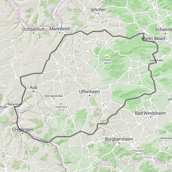
Embark on a challenging road cycling adventure and explore the scenic surroundings of Sugenheim
This 106-kilometer road cycling route offers a challenging ride through the hilly landscapes near Sugenheim. With an ascent of 818 meters, this route is recommended for experienced cyclists. Discover highlights such as Rosenberg, Ergersheim, Gänsbuck, Ohrenbach, Panoramablick, Bieberehren, Gelchsheim, Tiefenstockheim, and Markt Bibart along the way.
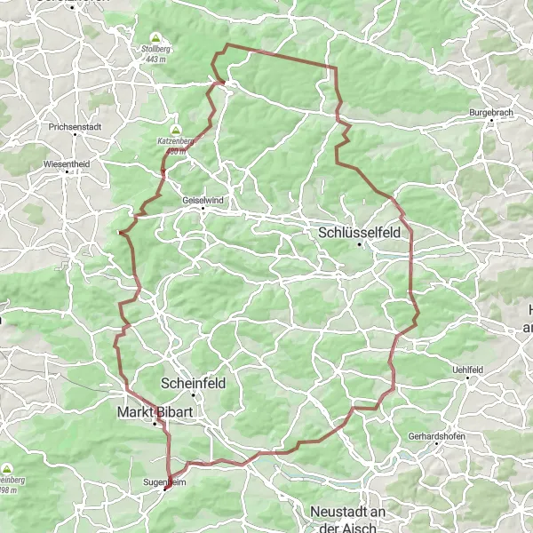
Embark on an epic gravel adventure through breathtaking landscapes near Sugenheim
This challenging 99-kilometer gravel route takes you on an unforgettable journey through diverse terrains and highlights. With a demanding ascent of 1431 meters, this loop is recommended for experienced and fit cyclists. Discover highlights such as Enzlarberg, Stickelsberg, Ebersbrunn, Burgwindheim, Possenfelden, Hirschberg, Grubsberg, and Münchsteinach along the way.
Sugenheim Road Cycling Adventure
Embark on a scenic road cycling journey near Sugenheim
This road cycling route offers a mix of challenging climbs and beautiful countryside scenery. With a total distance of 56 kilometers and an ascent of 514 meters, this loop is suitable for experienced cyclists. Explore highlights such as Leerberg, Scheinfeld, Weingartsberg, Oberscheinfeld, Düllberg, Breitenlohe, Lerchenberg, and Langenfeld along the way.
Glorious Gravel Adventure
Embark on a thrilling gravel adventure through picturesque landscapes and charming villages.
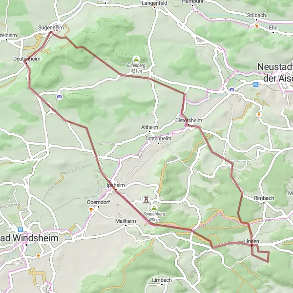
Get off the beaten path and embark on a glorious gravel adventure across picturesque landscapes and charming villages. This gravel route spans 43 kilometers with an ascent of 499 meters, making it a relatively moderate challenge suitable for gravel enthusiasts and beginners looking to explore the region. The epicness score of this route is 3, as it offers scenic views and highlights. Highlights along the route include Obernesselbach, Marberg, Linden, Kühnberg, and Sugenheim. Each of these highlights provides a unique experience, whether it's the vibrant colors of the fields surrounding Obernesselbach, the historical significance of Marberg, or the peaceful atmosphere in Linden. This gravel adventure promises a thrilling ride through nature and a chance to connect with the local culture and heritage.
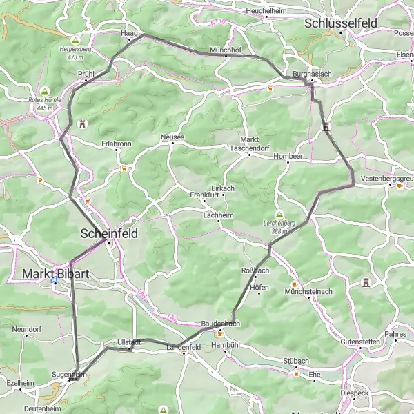
Explore the rugged gravel roads near Sugenheim
Embark on a thrilling gravel adventure near Sugenheim in Mittelfranken, Germany. This 70-kilometer route takes you through picturesque villages and offers breathtaking views of the surrounding countryside. With a total ascent of 526 meters, it's a challenging ride that will test your endurance and skills. Get ready to conquer steep climbs and enjoy fast descents as you discover the beauty of this region on two wheels.
Conquer steep hills and uncover hidden gems on this challenging route.
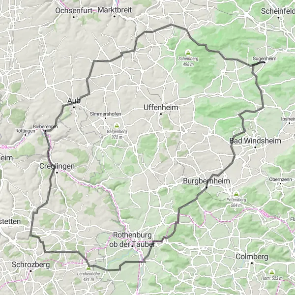
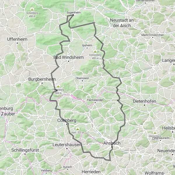
Get ready for a challenge as you embark on this hilly road cycling route. With a total ascent of 1183 meters over 125 kilometers, this route is suitable for experienced cyclists. The difficulty level is 5, as it features steep climbs and demanding terrains. The epicness score of this route is 4, as it offers unique cultural highlights and panoramic views. Highlights along the route include Sugenheim, Rosenberg, Wolfsbuck, Illesheim, Gebsattel, Lerchenhöhe, Dunzendorf, Alter Berg, Aub, Storchenbühl, Hüttenheim, Hüllerberg, and Ezelheim. These highlights offer a mix of historical landmarks, beautiful landscapes, and hidden gems waiting to be discovered. Although challenging, this route promises an unforgettable adventure for experienced cyclists who enjoy conquering steep hills and exploring off-the-beaten-path destinations.
Sugenheim Gravel Loop
Experience the gravel roads and rolling hills near Sugenheim
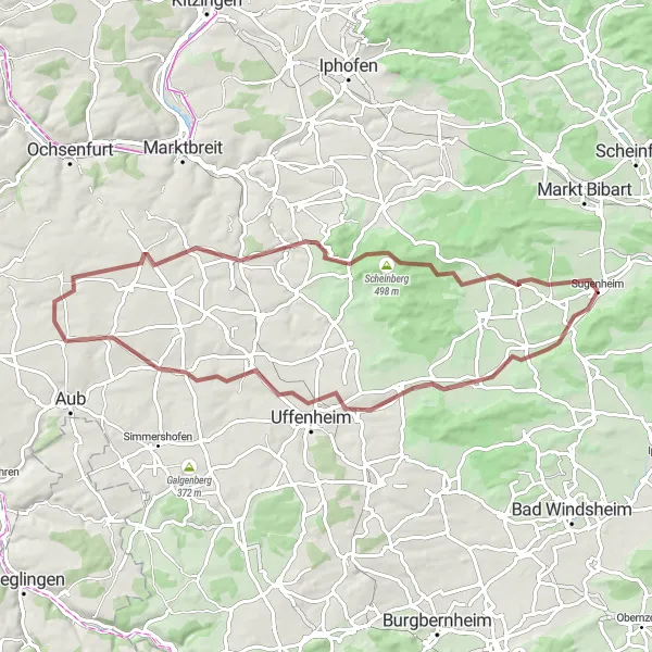
This scenic gravel route takes you through picturesque countryside near Sugenheim. With a moderate ascent of 287 meters and a total distance of 40 kilometers, this loop provides a great balance of challenge and enjoyment. Explore highlights along the route, including Ezelheim, Scheinberg, Mönchsondheim, Galgenbuck, and Sugenheim itself.
A scenic ride passing through charming villages and picturesque hilltop castles.
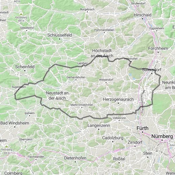
Embark on a picturesque cycling tour that takes you through beautiful villages and showcases iconic hilltop castles. This route is best suited for well-trained amateurs who are looking for a challenge. With a total ascent of 1040 meters over a distance of 129 kilometers, expect to test your endurance. The epicness score of this route is 4, as it offers stunning views and cultural highlights. Some of the highlights along the route include Sugenheim, Lerchenberg, Uehlfeld, Lauberberg, Hemhofen, Geiersberg, Spardorf, Turmberg, Tuchenbach, Hummersberg, Dietersheim, Marberg, and Kunigundenturm. Each of these spots has its own unique charm and is worth exploring. Ultimately, this route promises a memorable journey filled with history, nature, and breathtaking landscapes.
Explore the beautiful vineyards and medieval towns on this challenging gravel route
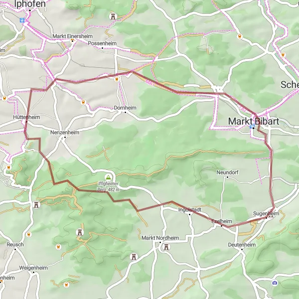
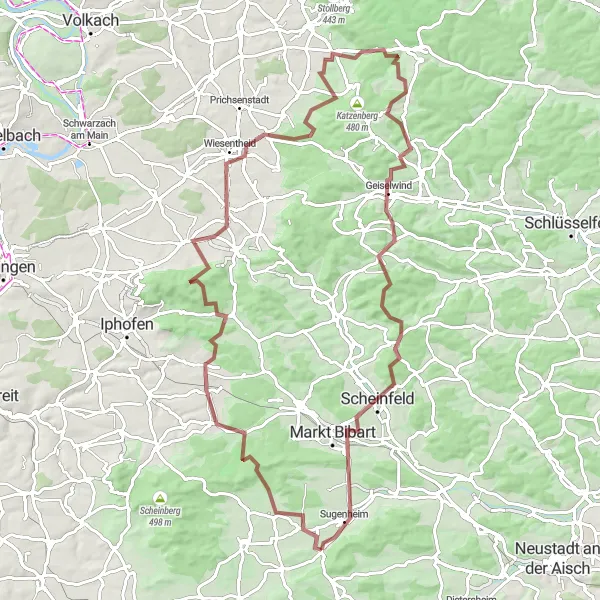
The Steinbürg Circuit is a stunning gravel route that takes you through the scenic vineyards, charming medieval towns, and enchanting forests of Mittelfranken. With a total distance of 89 kilometers and an elevation gain of 1075 meters, this route is perfect for experienced cyclists looking for a challenging adventure. The circuit starts near Sugenheim and takes you on a journey to discover the hidden gems of the region.
Scenic Roads & Hidden Gems
Navigate scenic roads and discover hidden gems on this beautiful cycling route.
Escape into the beauty of nature and explore hidden gems along this scenic road cycling route. With a total ascent of 1162 meters over 119 kilometers, this route is suitable for well-trained amateurs seeking a challenging adventure. The difficulty level is 4, as it features hilly terrains and moderate climbs. This route has an epicness score of 3, as it offers stunning views and cultural highlights. Highlights along the route include Obernesselbach, Zogelsberg, Trautskirchen, Rüglander Berg, Grübesberg, Ansbach, Käferbuck, Colmberg, Büttelberg, Illesheim, Rosenberg, and Sugenheim. Each of these highlights has its own unique charm, whether it's the historical significance of Ansbach, the panoramic views from Käferbuck, or the cultural treasures of Illesheim. As you navigate the scenic roads, be prepared to discover hidden gems and experience the region's natural beauty at its finest.
Cycling routes nearby:

Nearby regions: