Scenic Road Cycling Exploration near Sugenheim
A road cycling route starting from Sugenheim
Embark on a challenging road cycling adventure and explore the scenic surroundings of Sugenheim
Map
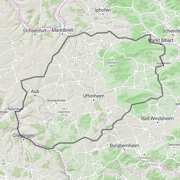
This 106-kilometer road cycling route offers a challenging ride through the hilly landscapes near Sugenheim. With an ascent of 818 meters, this route is recommended for experienced cyclists. Discover highlights such as Rosenberg, Ergersheim, Gänsbuck, Ohrenbach, Panoramablick, Bieberehren, Gelchsheim, Tiefenstockheim, and Markt Bibart along the way.
road
106 km
818 m
Savage
Route profile
Highlights on the route
0 km
0 km
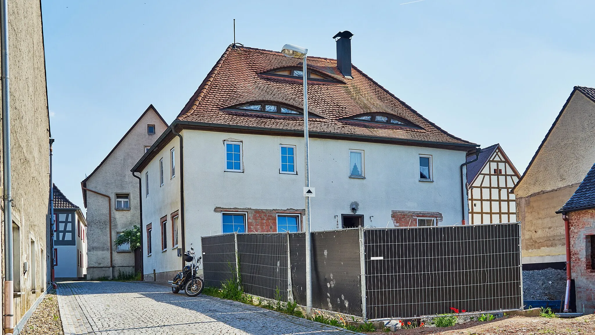
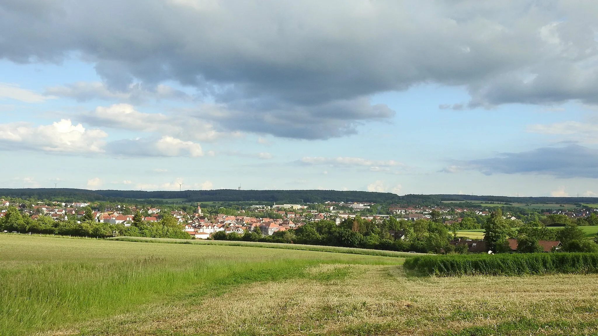
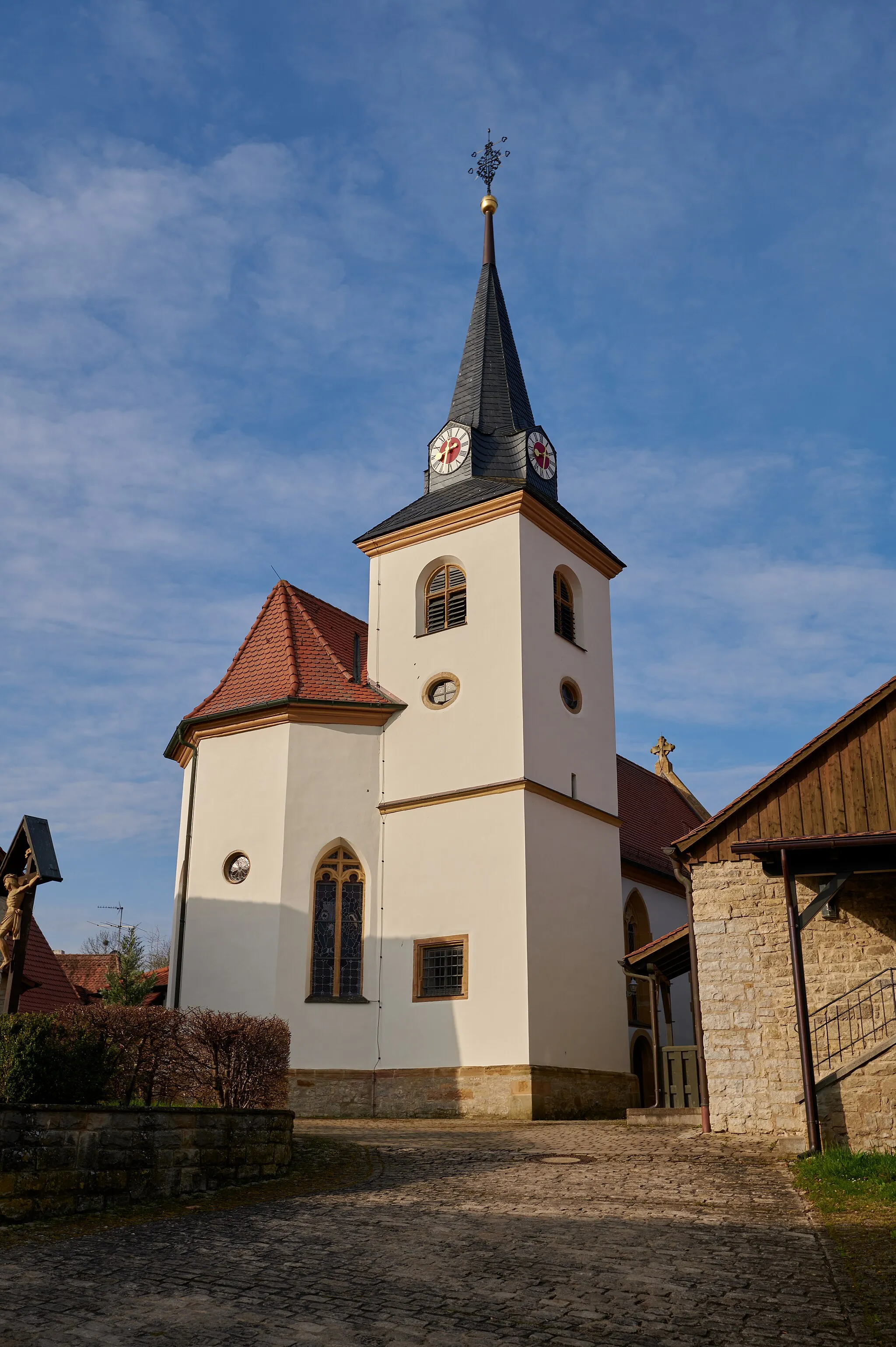
Start: Sugenheim Village centerSugenheim: Explore the scenic charm of Sugenheim in Mittelfranken, Germany while cycling along well-maintained roads and experiencing Bavarian hospitality.
Sugenheim, situated in Mittelfranken, Germany, offers a pleasant and scenic environment for road and gravel cycling. The locality features well-maintained roads that take cyclists through beautiful rural landscapes and quaint Bavarian towns. Cyclists can enjoy leisurely rides, taking in the charming architecture and cultural heritage of the area while exploring the rolling hills and vineyards. Sugenheim is also well-connected to nearby cycling routes that offer moderate climbs, providing an additional challenge for those seeking an exhilarating workout amidst the captivating scenery.10 km
10 km
Rosenberg359 mPeakExplore Rosenberg and its medieval castle, which offers stunning views of the surrounding countryside.
17 km
17 km
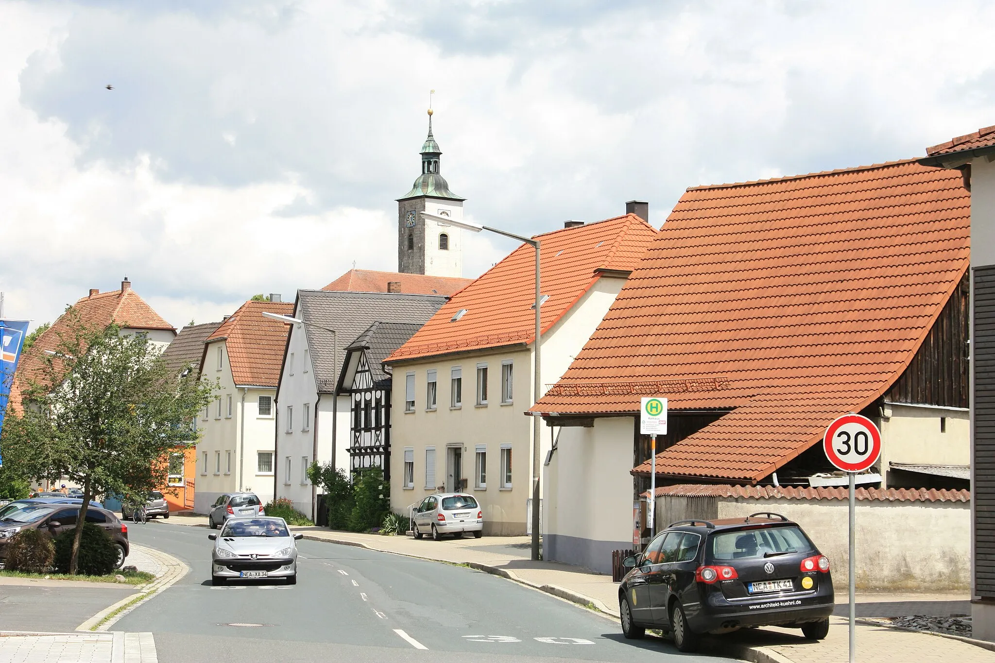
ErgersheimVillageVisit Ergersheim and discover its charming timber-framed houses and historical landmarks.
26 km
26 km
Gänsbuck396 mPeakChallenge yourself with the climb to Gänsbuck and enjoy breathtaking views of the Franconian landscape.
30 km
30 km
OhrenbachVillagePass through Ohrenbach and pause for a moment to enjoy the panoramic vista from the viewpoint.
41 km
41 km
PanoramablickViewpointExperience the stunning Panoramablick, offering panoramic views over the rolling hills and valleys.
52 km
52 km
BieberehrenVillageExplore Bieberehren and its well-preserved medieval city walls, which tell the story of the town's rich history.
60 km
60 km
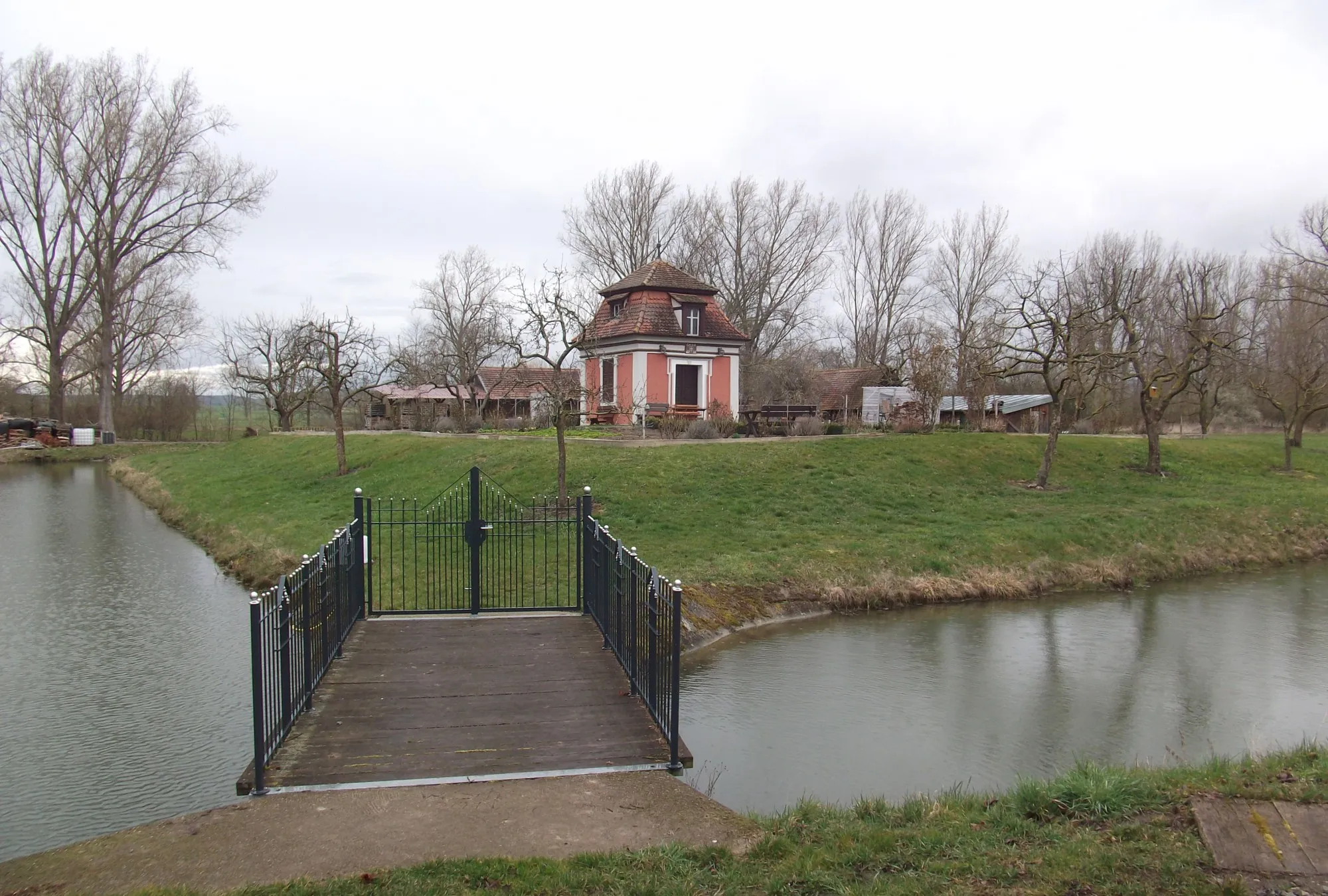
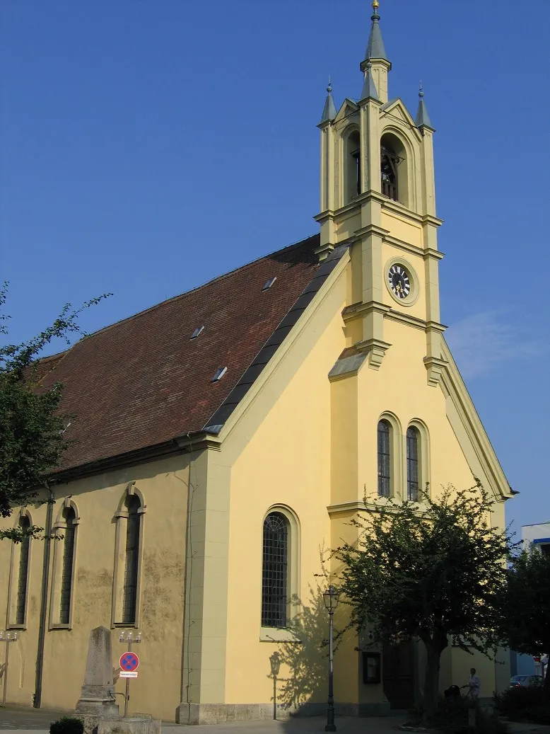
GelchsheimVillageMake a stop in Gelchsheim and visit the 16th-century Gelchsheim Castle, surrounded by beautiful gardens and parkland.
79 km
79 km
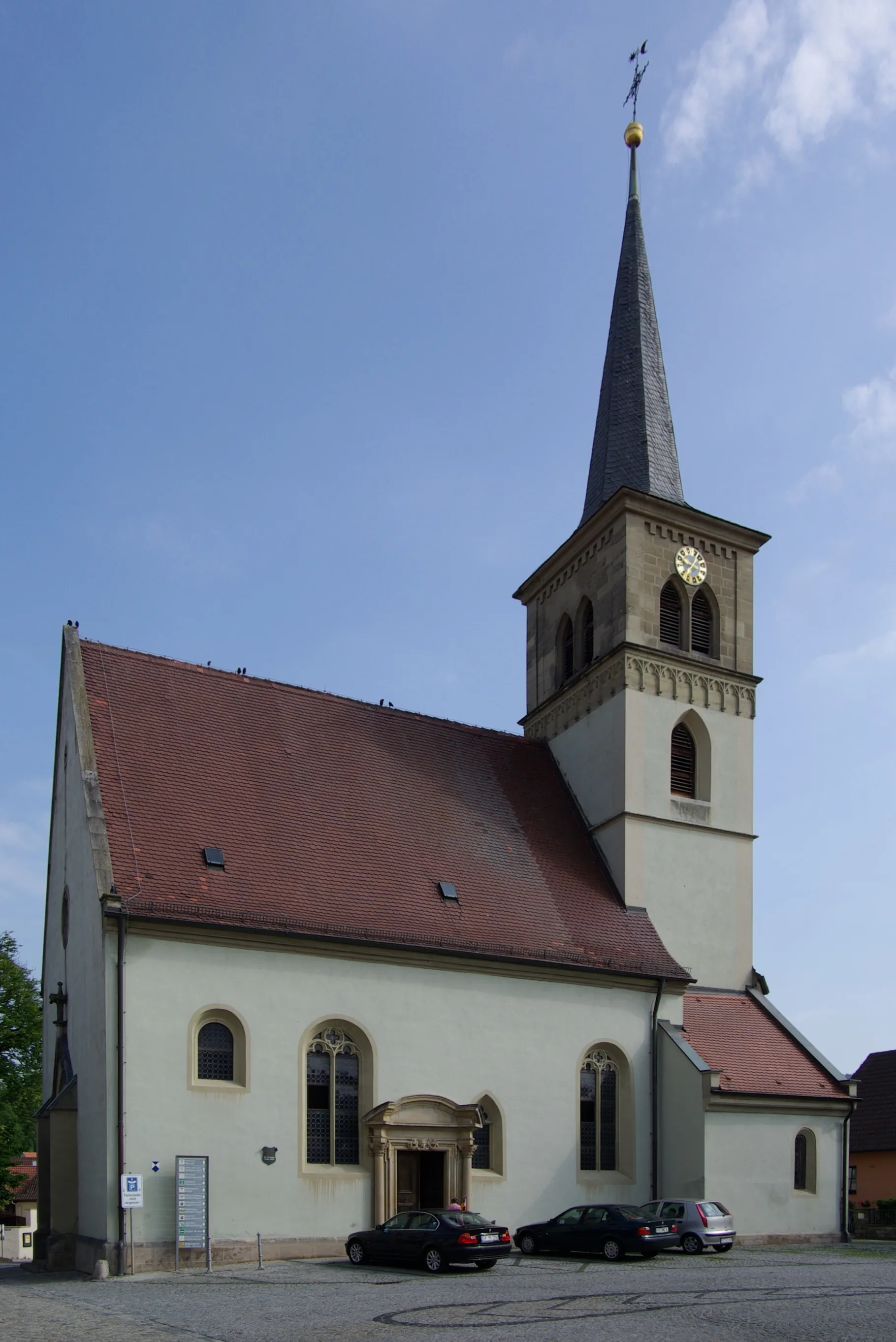
TiefenstockheimVillageDiscover Tiefenstockheim and its charming half-timbered houses and historic buildings.
96 km
96 km
Galgenbuck321 mPeakChallenge yourself with the daring ascent to Galgenbuck, renowned for its breathtaking scenic beauty.
99 km
99 km
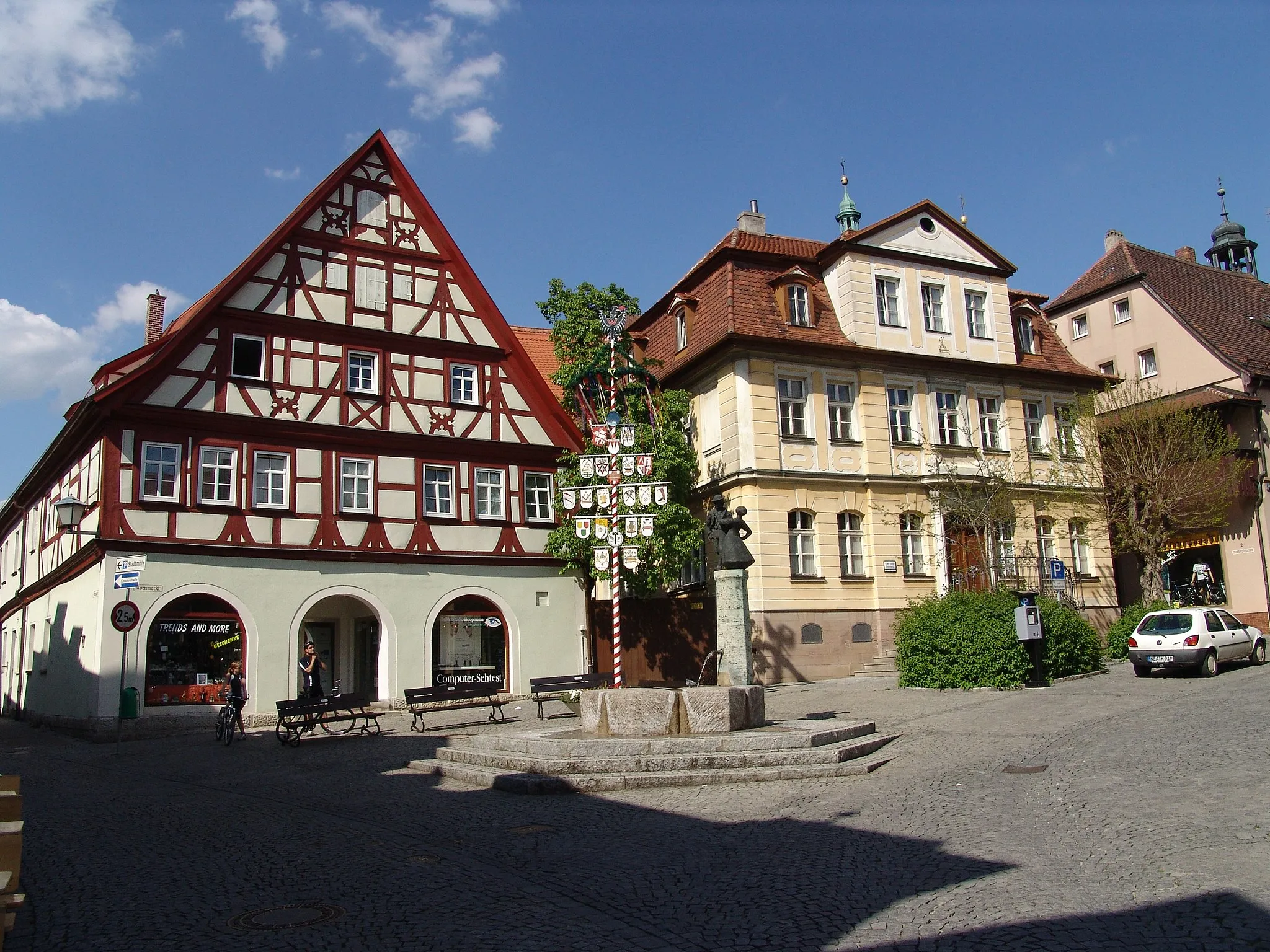
Markt BibartTownExplore Markt Bibart and experience its picturesque atmosphere, with its well-preserved historic buildings and narrow streets.
106 km
106 km
Finish: Sugenheim Village centerSugenheim: Explore the scenic charm of Sugenheim in Mittelfranken, Germany while cycling along well-maintained roads and experiencing Bavarian hospitality.
Cycling routes from Sugenheim:
Glorious Gravel Adventure Sugenheim Gravel Loop Sugenheim Road Cycling Adventure Scenic Roads & Hidden Gems Steinbürg Circuit Sugenheim Gravel Glory Scenic Road Cycling Exploration near Sugenheim Challenging Gravel Adventure exploring scenic highlights near Sugenheim Romantic Castles and Towering Hills Challenging Terrain & Hilltop Secrets
Cycling routes nearby: