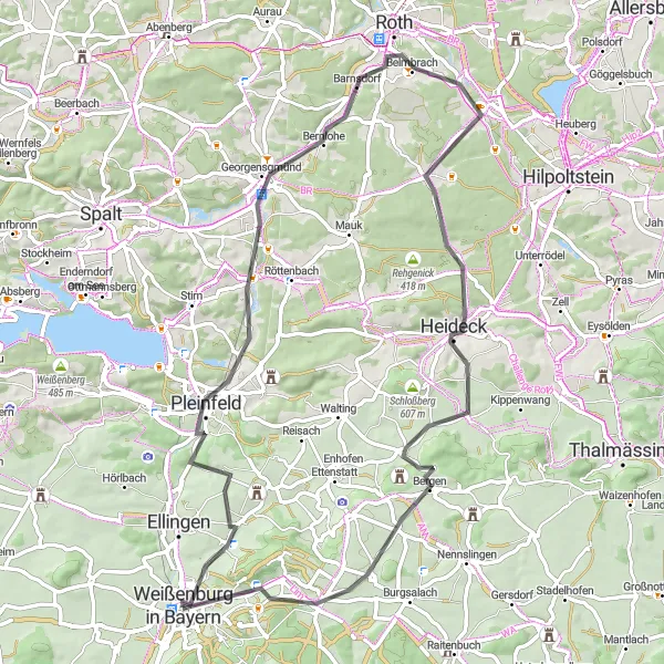
Cycling Adventure in Mittelfranken
Cycling routes from Weissenburg in Bayern
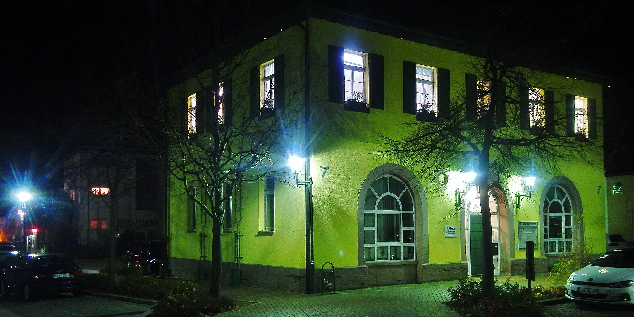
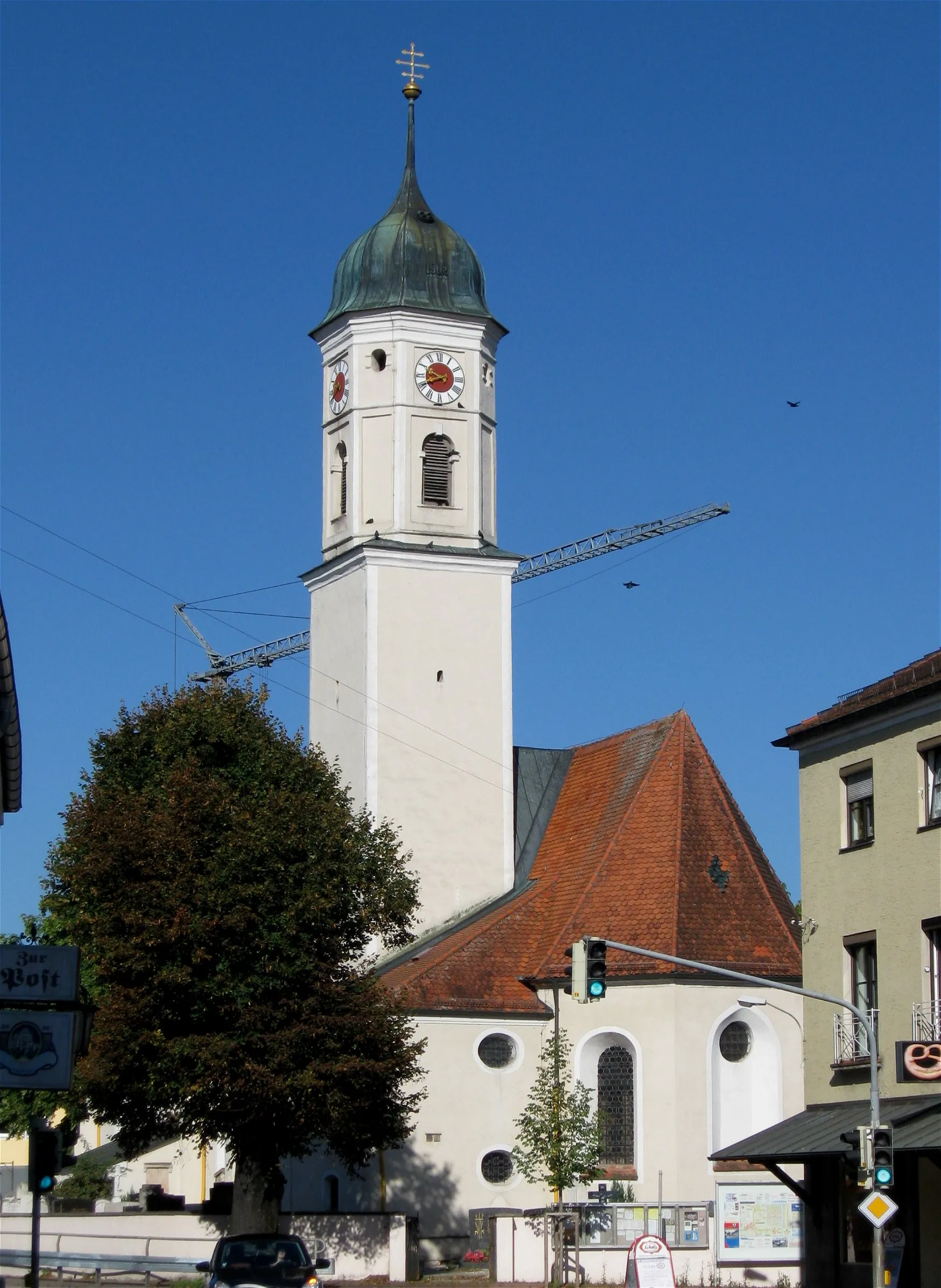
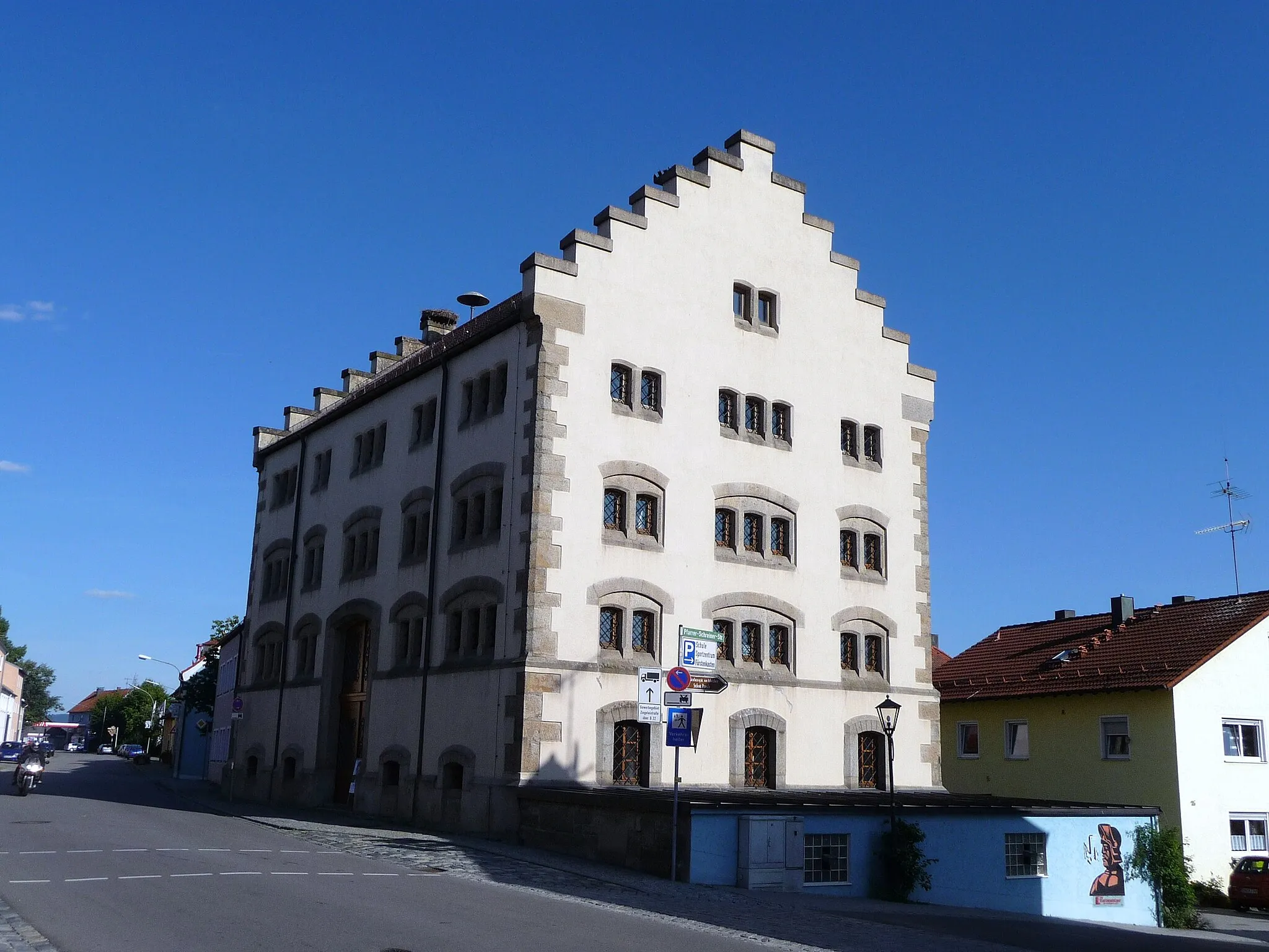
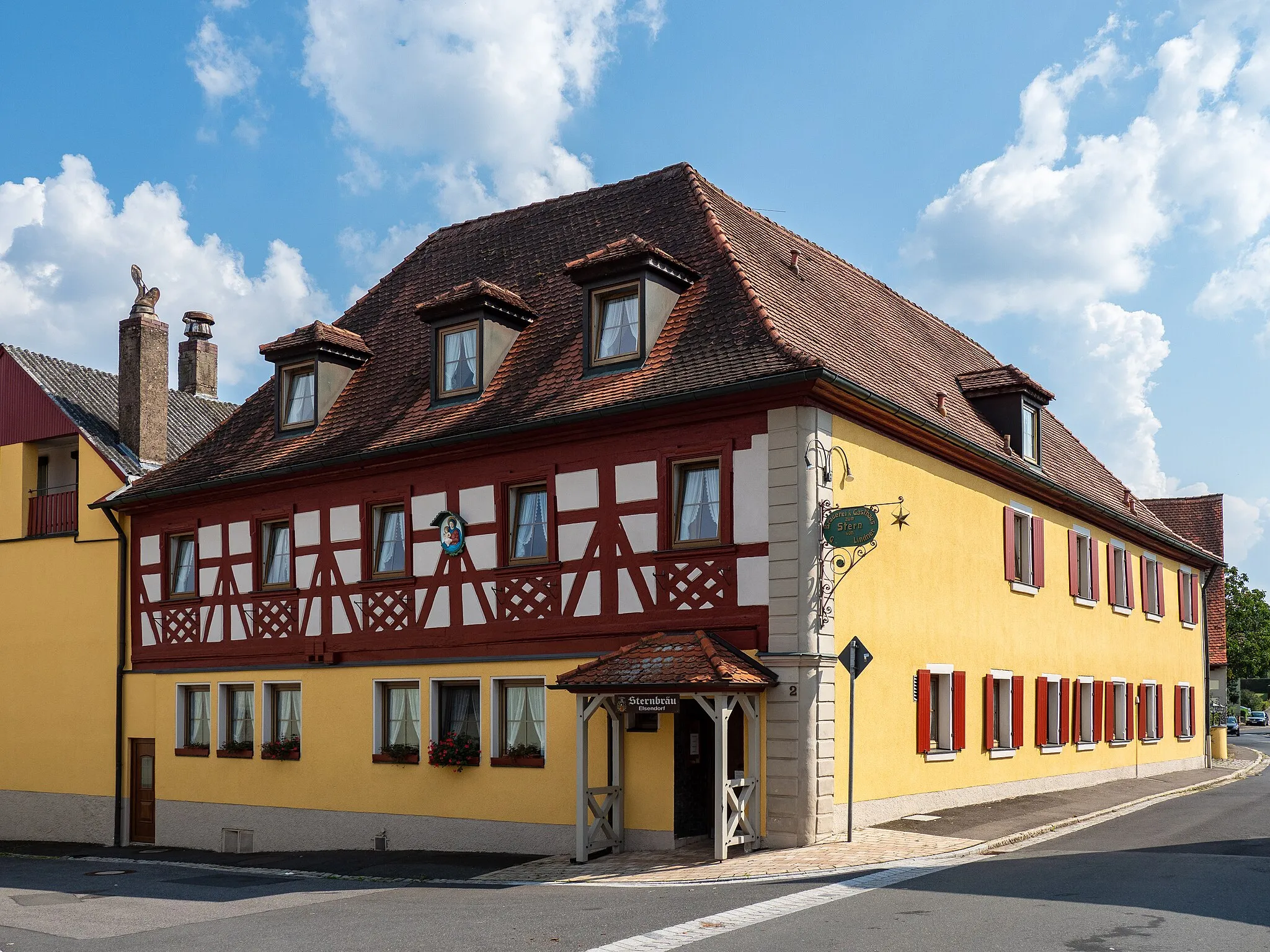
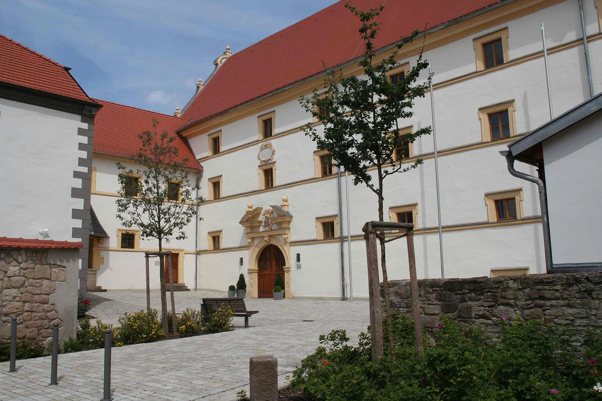
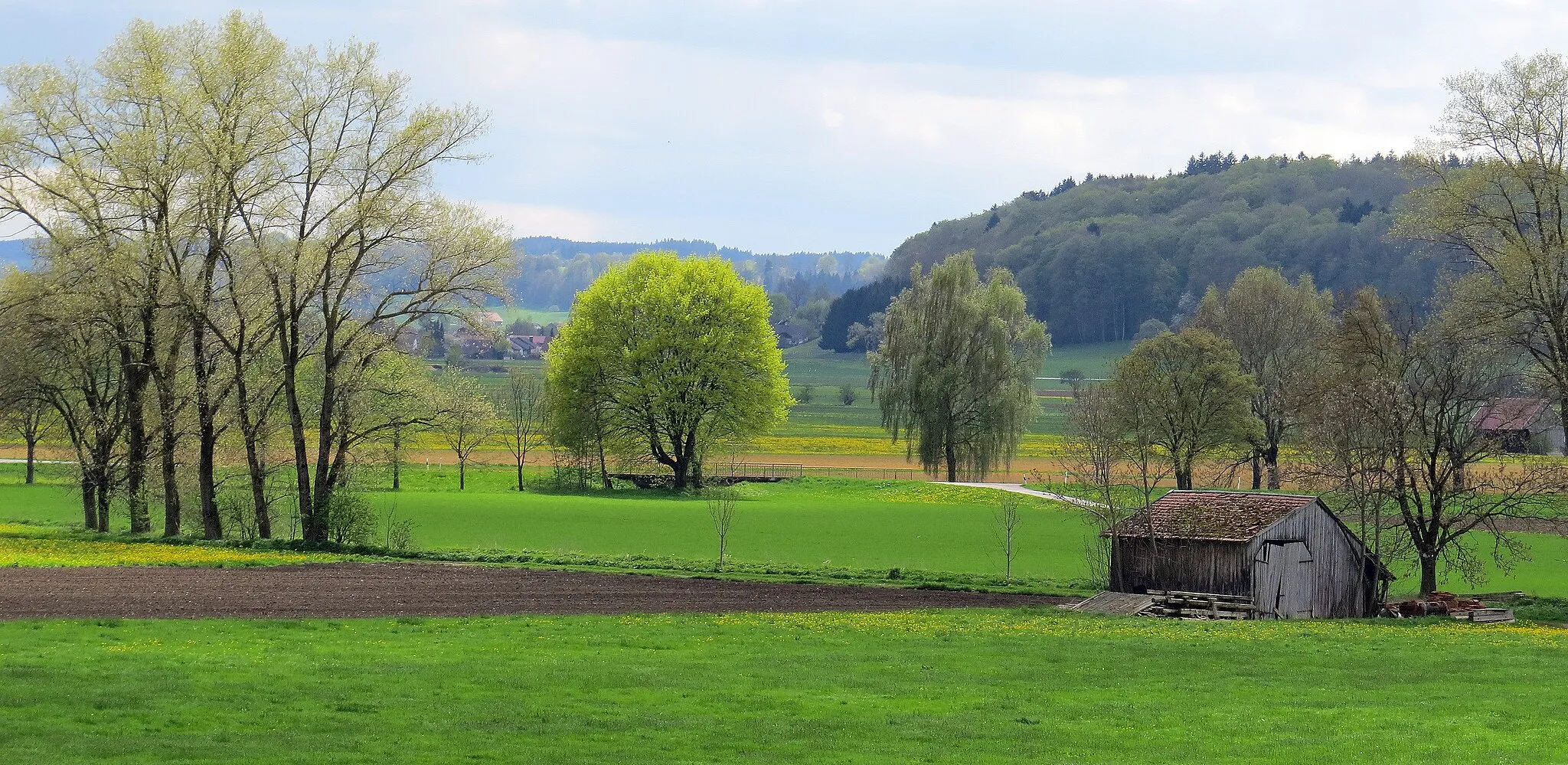
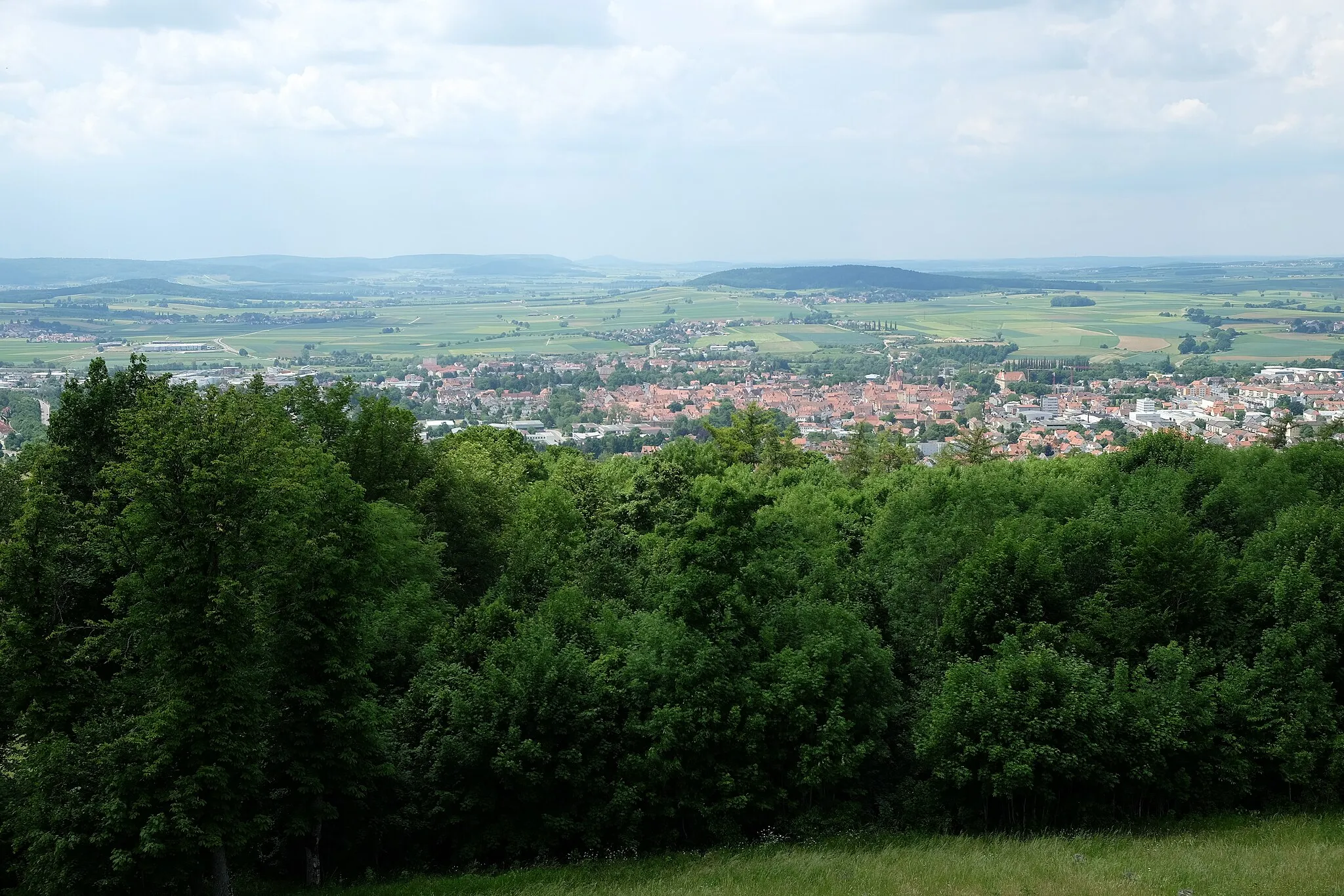
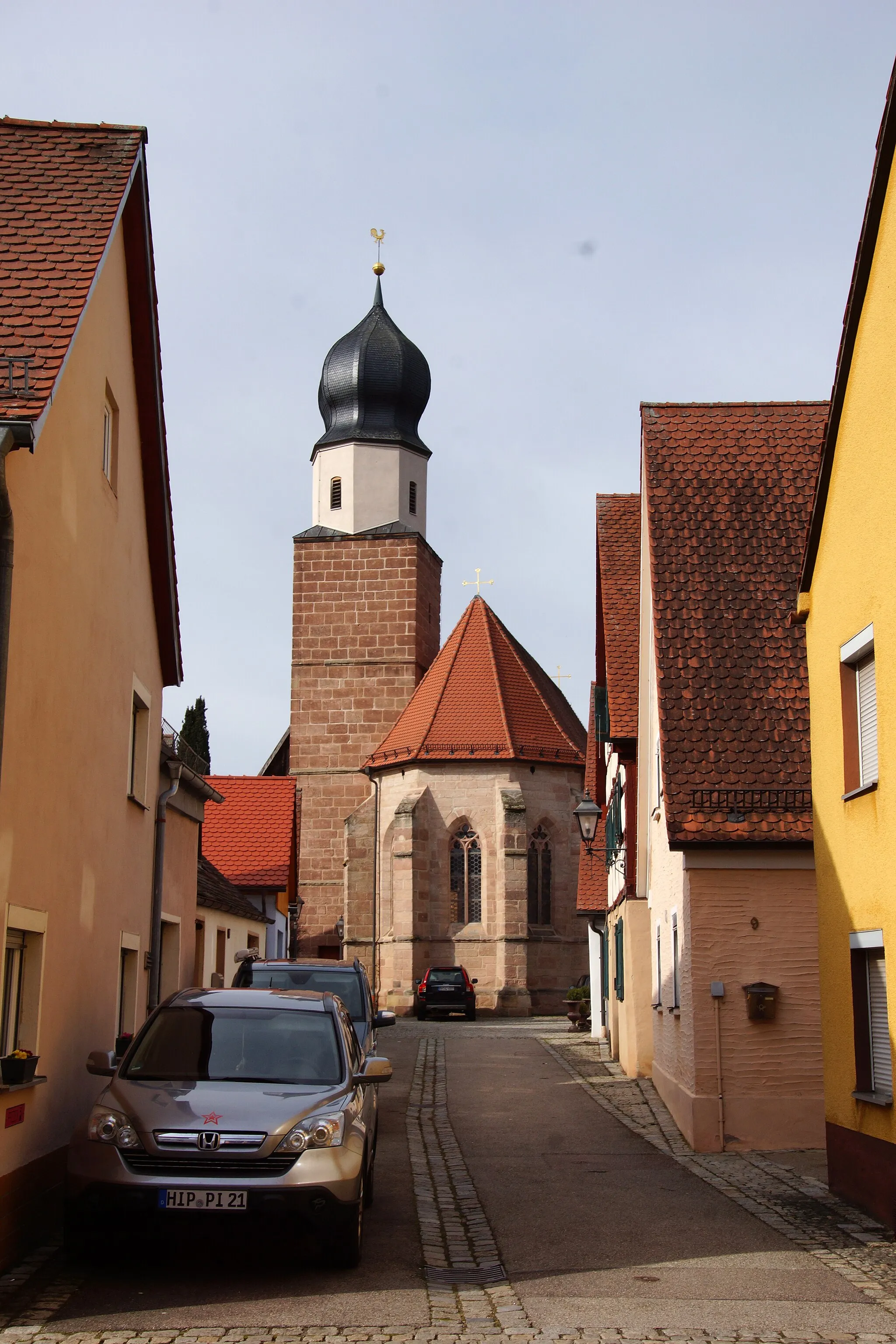
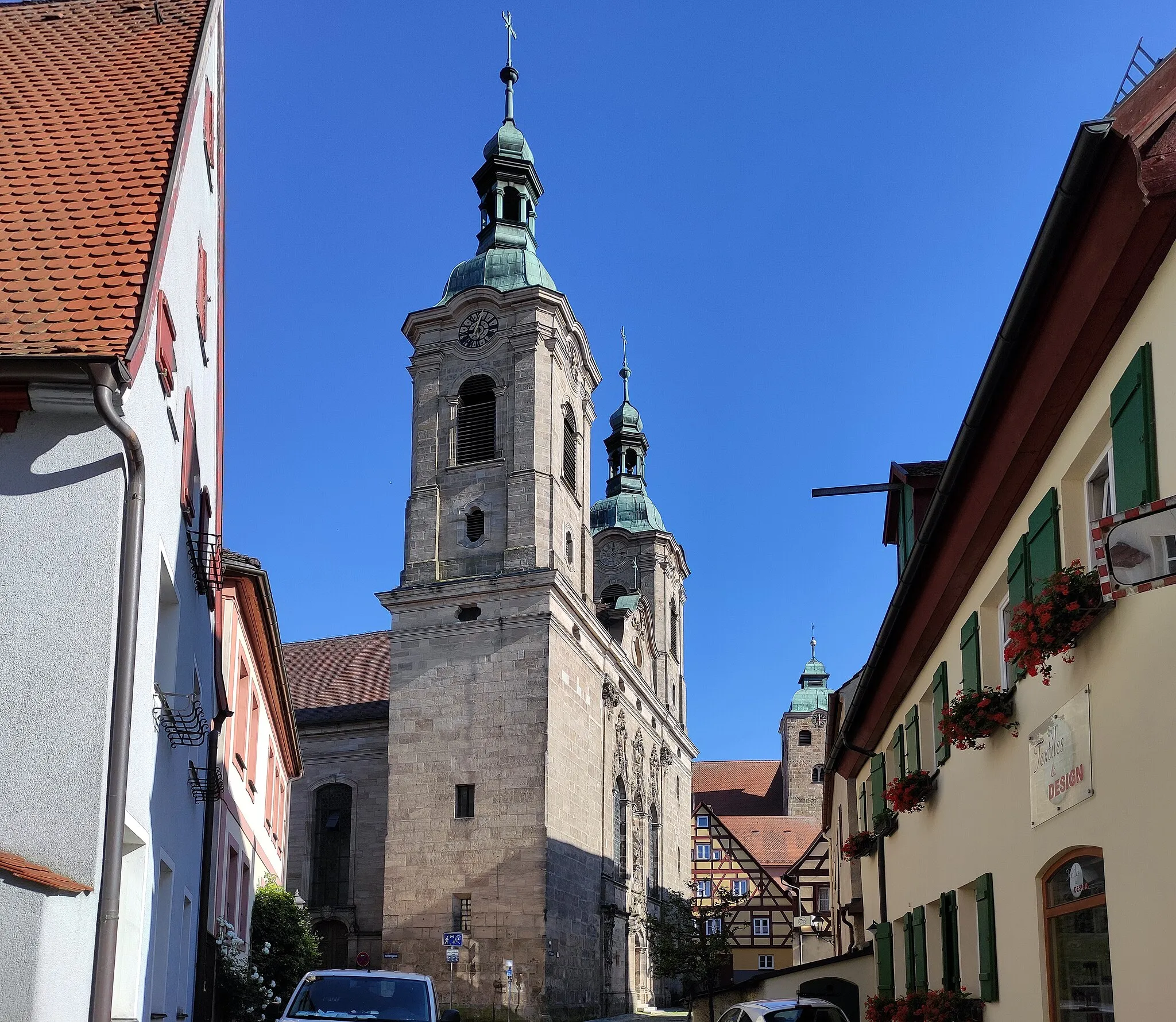
Weißenburg in Bayern, located in Mittelfranken, Germany, is a fantastic locality for road and gravel cyclists. The region offers diverse terrains, ranging from hilly to flat, making it suitable for cyclists of all levels. Cyclists can enjoy riding through picturesque countryside and explore charming towns along the route. Weißenburg in Bayern is also close to the Altmühltal, a scenic river valley with stunning limestone cliffs. With its variety of routes and beautiful landscapes, Weißenburg in Bayern is a cycling paradise.
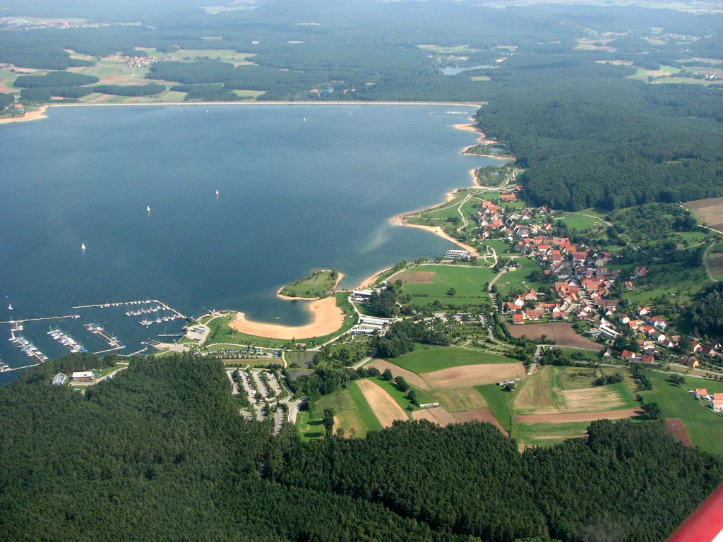
Experience panoramic views of Brombachsee on this scenic road route from Weißenburg to Hörlberg.
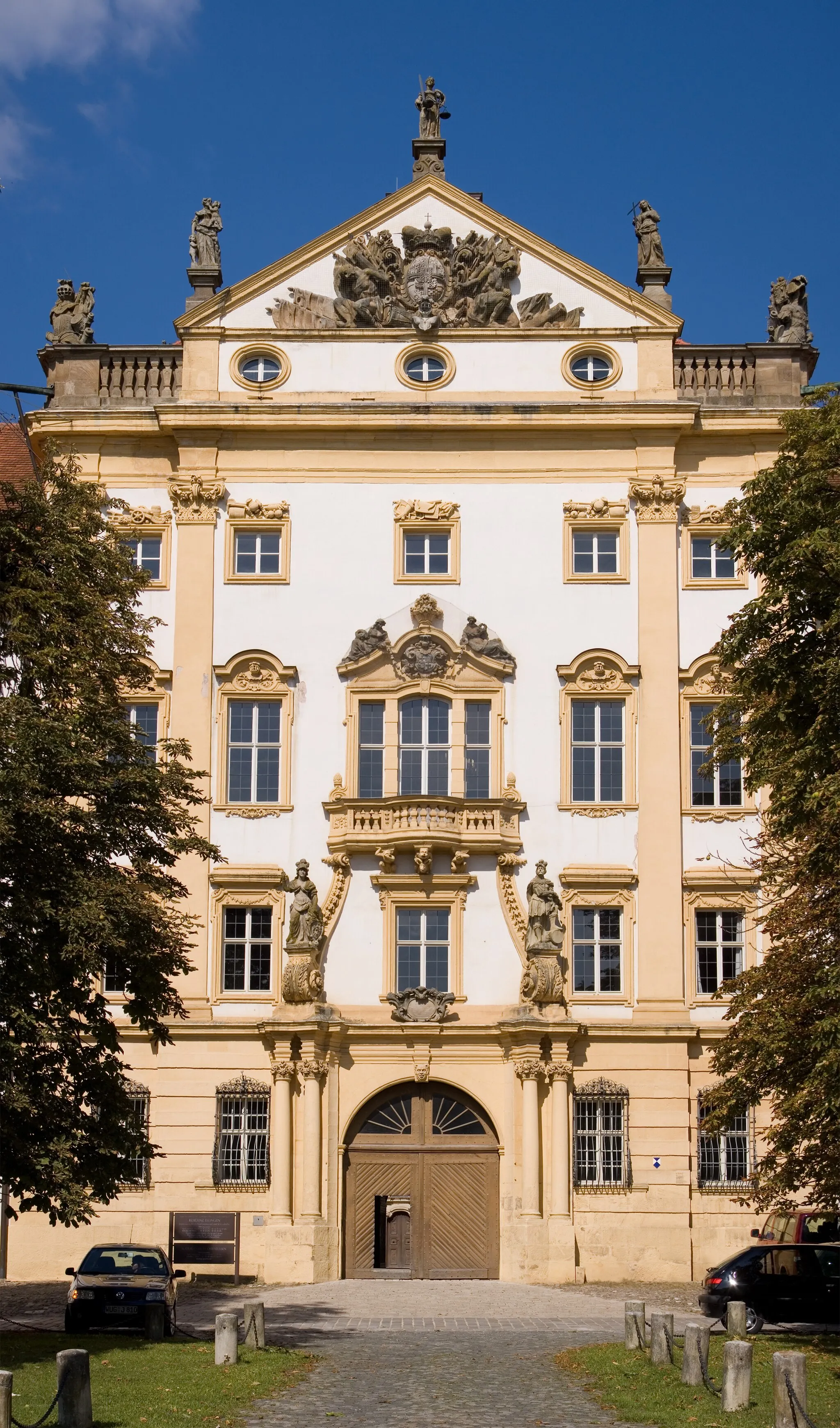
Indulge yourself in the breathtaking scenery of the Brombachsee as you embark on this road bike tour from Weißenburg to Hörlberg. The 73-kilometer route offers a moderate challenge with an ascent of 883 meters. Enjoy the panoramic view from the Aussichtsturm and experience the serenity of nature along the route. Discover historical landmarks like Schloss Ratibor and Schloßberg, and be amazed by the beauty of Limes (Teufelsmauer). With plenty of highlights to explore, this route is perfect for road cycling enthusiasts.
Cycle through the serene countryside on this gravel route from Weißenburg to Unterschwaningen.
Explore the tranquility of the Bavarian countryside as you traverse the gravel route from Weißenburg to Unterschwaningen. With a total distance of 85 kilometers and an ascent of 583 meters, this route offers a moderately challenging cycling experience. Discover the idyllic towns of Meinheim and Hagbuck along the way, and immerse yourself in the charm of Unterschwaningen. Highlights also include the stunning birdwatching tower on Vogelinsel and the peaceful Pfaffenberg. Embrace the natural beauty of the region as you pedal through picturesque landscapes and immerse yourself in the local culture.
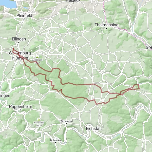
Bergfried & Langenaltheim Loop
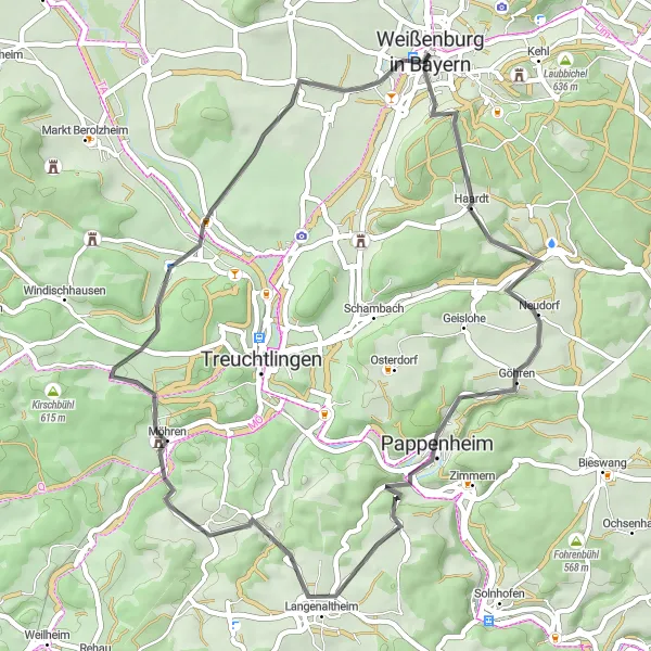
A scenic loop passing by the historic Bergfried tower and picturesque Langenaltheim village.
This 47-kilometer road cycling route offers a delightful journey through the charming countryside near Weißenburg in Bayern. The highlight of the route is undoubtedly the Bergfried tower, a well-preserved historical monument that provides stunning panoramic views of the surrounding area. Additionally, cyclists will pass through the idyllic village of Langenaltheim, known for its picturesque streets and traditional Bavarian architecture. With a manageable ascent of 777 meters, this route is suitable for well-trained amateur cyclists looking to enjoy the beauty of Mittelfranken. The route's epicness rating of 3 reflects its scenic landscapes and historical landmarks.
Scenic Bavarian Road Loop
Pedal through charming villages and enjoy picturesque landscapes on this scenic road cycling loop.
Experience the beauty of the Bavarian countryside on this 89-kilometer road cycling loop. Passing through quaint villages and stunning landscapes, this route offers a mix of natural splendor and cultural charm. Enjoy the challenging ascent to Pleinfeld and marvel at the natural beauty surrounding Eckersmühlen. Admire the engineering marvel of the Schleuse Eckersmühlen, a historic lock system. Take a break in Bischofsholz, known for its peaceful atmosphere and idyllic surroundings. Discover the tranquil beauty of Raitenbuch and embrace the serenity of Laubbichel. With a total ascent of 845 meters, this route provides a rewarding cycling experience for riders of intermediate skill level.
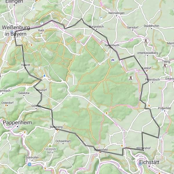
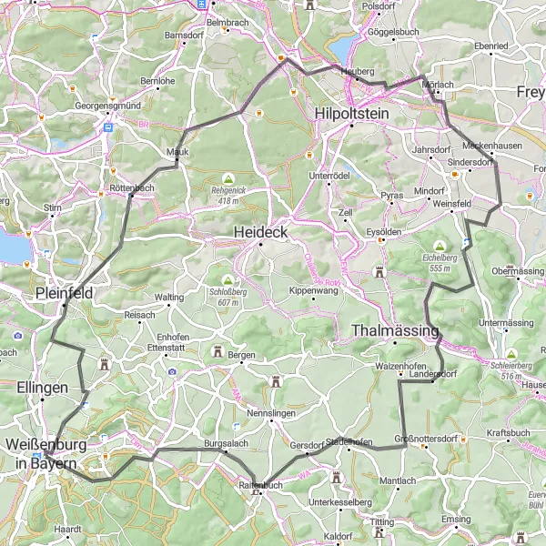
Enjoy stunning views from the Aussichtsplattform and explore the medieval Burgsalach on this scenic road ride.
Experience the captivating beauty of the Bavarian countryside on this 62-kilometer road ride. Challenge yourself with a total ascent of 619 meters as you pedal through rolling hills and picturesque villages. Don't miss the Aussichtsplattform, a lookout point offering breathtaking panoramic views of the surrounding landscape. Explore the medieval charm of Burgsalach, known for its well-preserved castle ruins. With numerous highlights along the way, this ride promises a memorable cycling adventure.
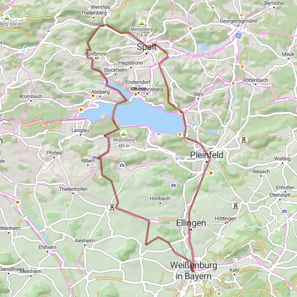
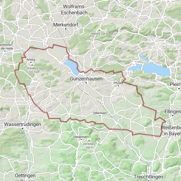
Embark on an adventurous gravel route from Weißenburg to Absberg amidst scenic landscapes.
Experience adventure and nature as you journey along the gravel route from Weißenburg to Absberg. With a total distance of 55 kilometers and an ascent of 679 meters, this route offers a moderately challenging cycling experience. Highlights of the route include Pfaffenberg, a famous spot for picturesque views, as well as the Ancient Roman watchtower Wp 14/17. Enjoy the tranquil beauty of Absberg and discover unexpected treasures like the observation tower. Discover the charm of Pleinfeld and Weißenburg in Bayern as you cycle through the stunning landscapes of Mittelfranken.
Explore ancient ruins and natural formations on this captivating gravel cycling route.
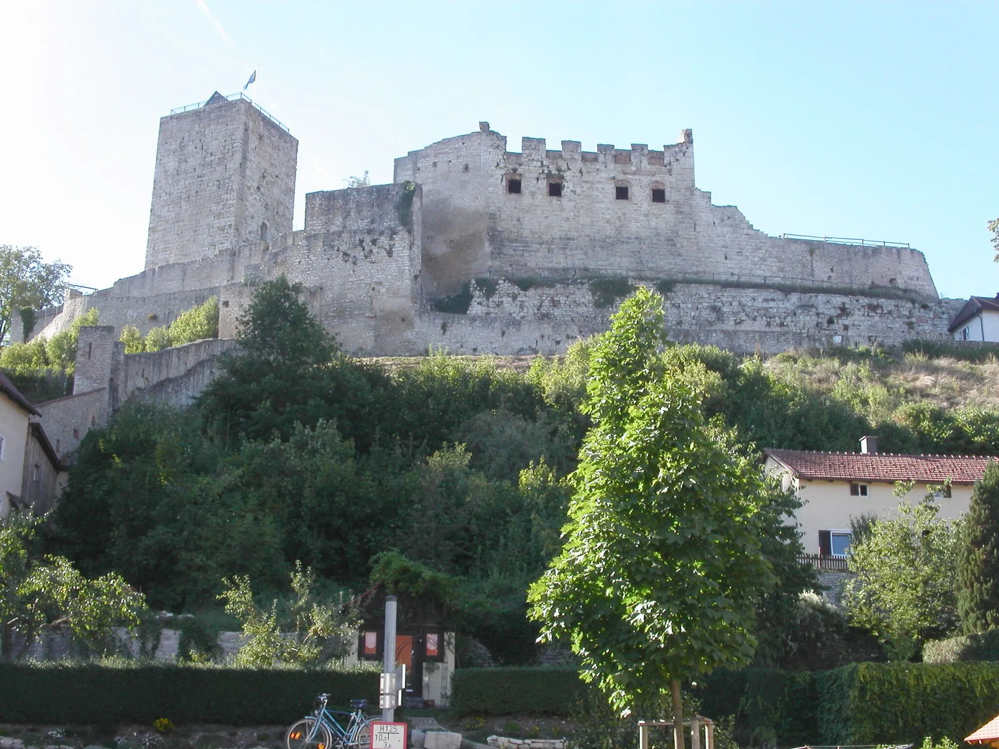
Embark on a captivating and historic gravel adventure along the Limes barrier. This 77-kilometer route takes you through stunning landscapes and fascinating historical landmarks. Discover the Roman-era Doline and Römischer Wachturm, witness the natural beauty of Pollenfeld, and be astounded by the majestic Steinberg. Marvel at Wülzburg, a magnificent fortress perched high above the surrounding countryside. With a total ascent of 1048 meters, this challenging route is perfect for adventurous cyclists seeking a unique journey off the beaten path.
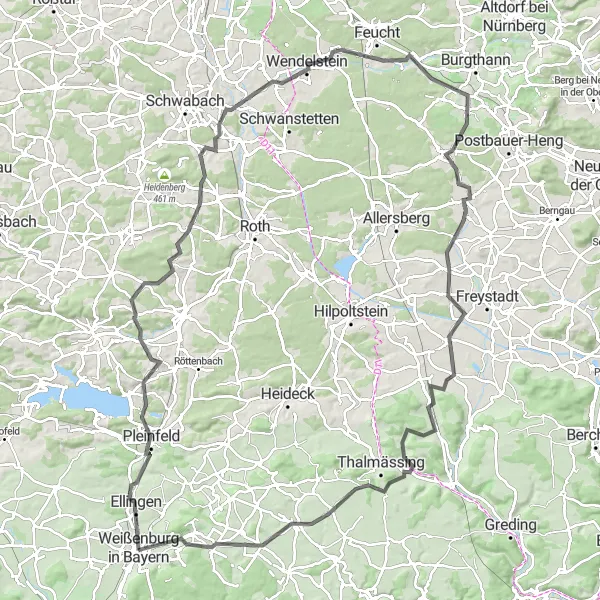
Conquer challenging ascents and soak in panoramic views on this epic road cycling adventure.
Embark on a thrilling road cycling adventure through the picturesque landscapes of Bavaria. This 124-kilometer route offers beautiful views, challenging climbs, and descents that will get your adrenaline pumping. Take on ascents such as Pleinfeld and Hörlberg, and enjoy panoramic views from Mäbenberg. Reach new heights as you conquer Wendelstein and Schwarzenbruck. Explore charming villages along the way and witness the beauty of the Nennslingen countryside. With a total ascent of 1229 meters, this route is recommended for experienced cyclists seeking a challenging and rewarding ride.
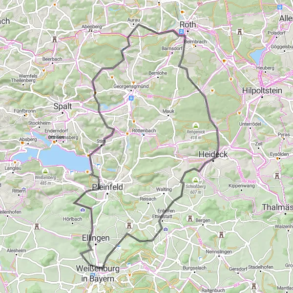
Discover the beauty of Middle Franconia on this road route from Weißenburg to Steinerne Höhe.
Experience the picturesque landscapes of Middle Franconia as you embark on this road cycling route from Weißenburg to Steinerne Höhe. Covering a distance of 69 kilometers with an ascent of 734 meters, this route offers a moderate challenge for riders. Take in the scenic beauty of Pleinfeld and Georgensgmünd, and explore historic highlights such as Steinerne Höhe, Heideck, and Bergen. Enjoy the diverse terrain and immerse yourself in the rich cultural history along the way.
Weißenburg Gravel Loop

Explore the historical Kastell Weißenburg on this scenic gravel route.
Embark on a gravel adventure through the picturesque landscapes surrounding Weißenburg in Bayern. This 30-kilometer loop takes you to the ancient Kastell Weißenburg, an impressive archaeological site dating back to Roman times. Bike through quiet country roads and enjoy beautiful views along the way. With a total ascent of 149 meters, this route is suitable for cyclists of all levels.
Cycling routes nearby:
Nearby regions: