Scenic Gravel Adventure through Geltolfing and Straubing
A gravel cycling route starting from Aiterhofen
Explore the scenic landscapes of Geltolfing and Straubing on this gravel adventure route near Aiterhofen.
Map

This scenic gravel adventure takes you through the beautiful landscapes surrounding Geltolfing and Straubing, offering breathtaking views and challenging terrains. With a total distance of 82 km and 428 m of ascent, this route is suitable for experienced cyclists looking for a thrilling adventure. The highlights of this route include Geltolfing, Kleiner Kaiser, Geiselhöring, Aufhausen, Alteglofsheim, Riekofen, Eisturm, and Straubing. These highlights offer cultural and historical attractions, adding depth to the ride and making it a memorable experience for cycling enthusiasts.
gravel
82 km
428 m
Tough
Route profile
Highlights on the route
0 km
0 km
Start: Aiterhofen Village centerAiterhofen: Scenic cycling through the rolling hills of Niederbayern.
Aiterhofen is a locality located in Niederbayern, Germany. From a cyclist's perspective, Aiterhofen offers pleasant cycling routes through rolling hills and picturesque countryside. The roads in the area are well-maintained, making it suitable for road cycling. There are also some gravel paths available for gravel cyclists. One of the well-known cycling spots nearby is the Danube Cycle Path, which runs along the Danube River and offers stunning views of the surrounding landscape. Overall, Aiterhofen is a great place for cyclists looking for scenic routes and peaceful rides.1 km
1 km
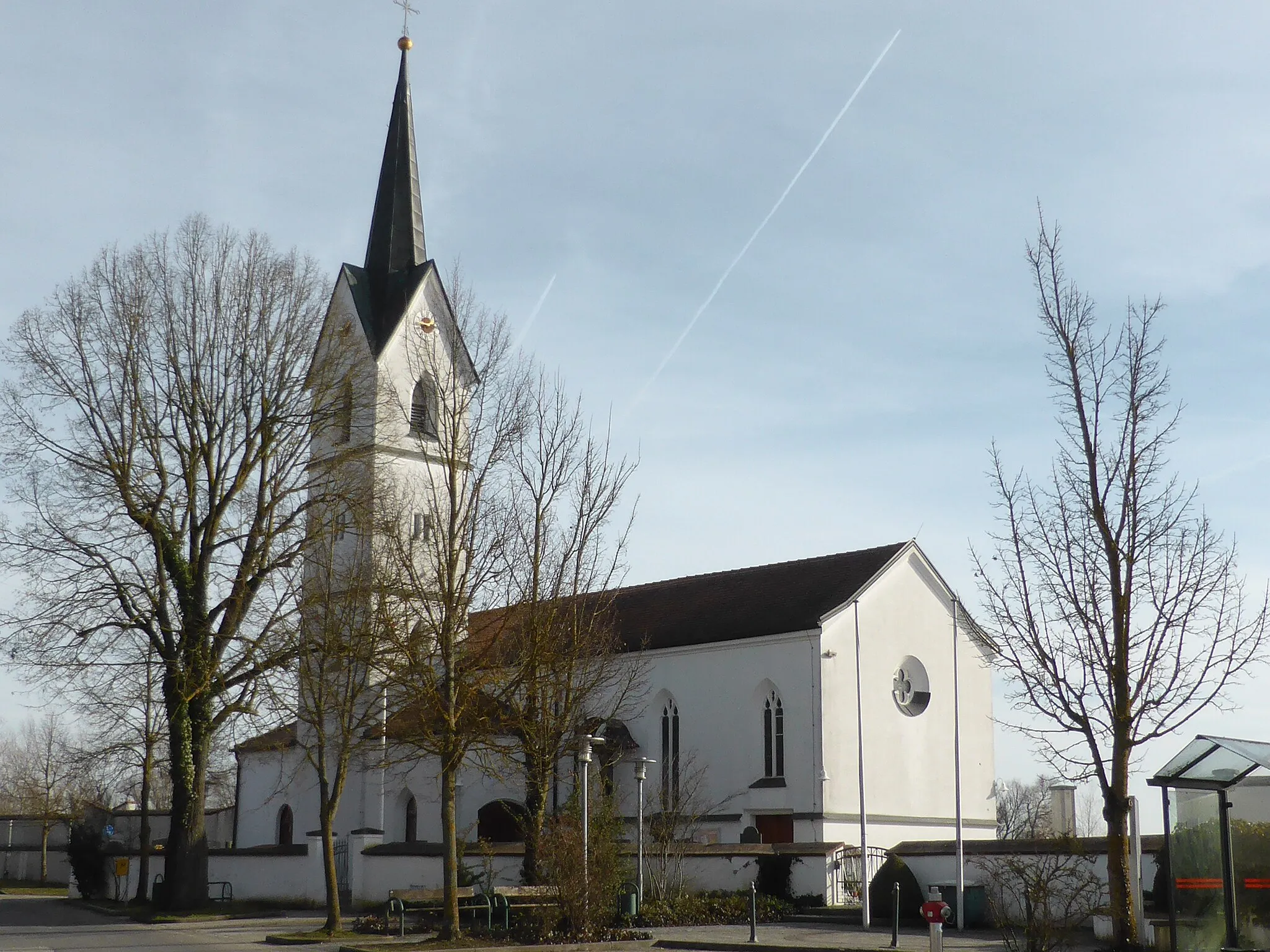
GeltolfingVillageGeltolfing is a small village with a peaceful atmosphere. Take a moment to appreciate its quiet beauty before embarking on the more challenging sections of the route.
19 km
19 km
Kleiner Kaiser400 mPeakKleiner Kaiser is a scenic hill located near Geisenhöring. Climb to the top for panoramic views of the surrounding landscapes.
19 km
19 km
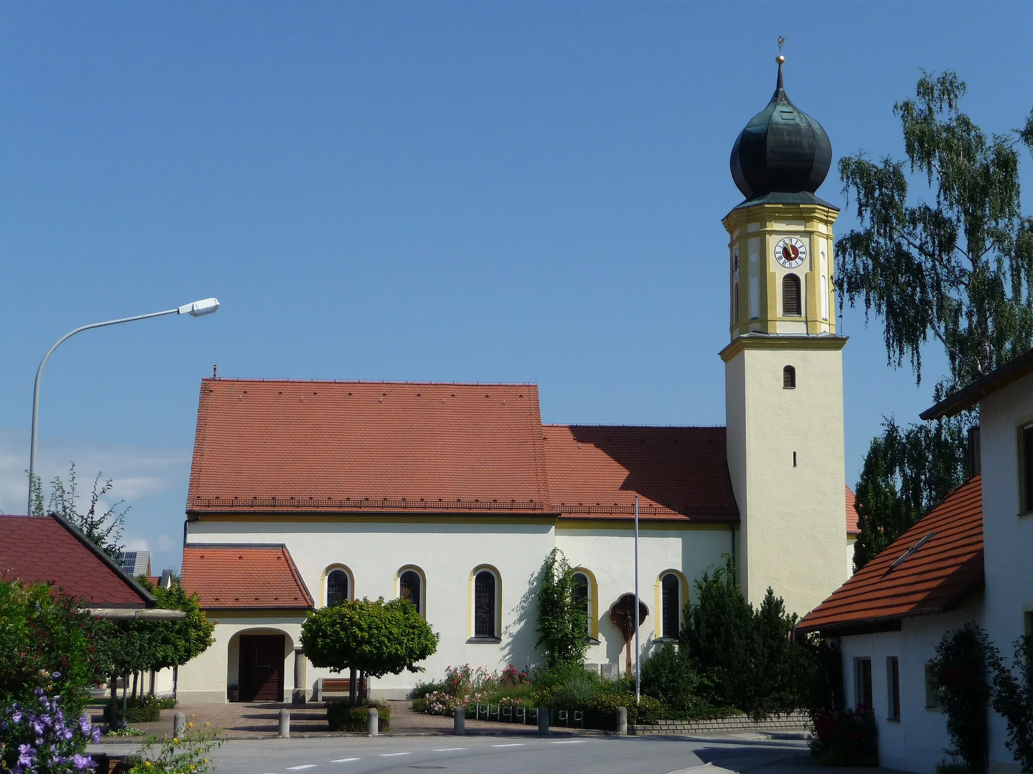
GeiselhöringTownGeiselhöring is a charming town with a rich history. Take a break here and explore its streets to discover its cultural heritage.
32 km
32 km
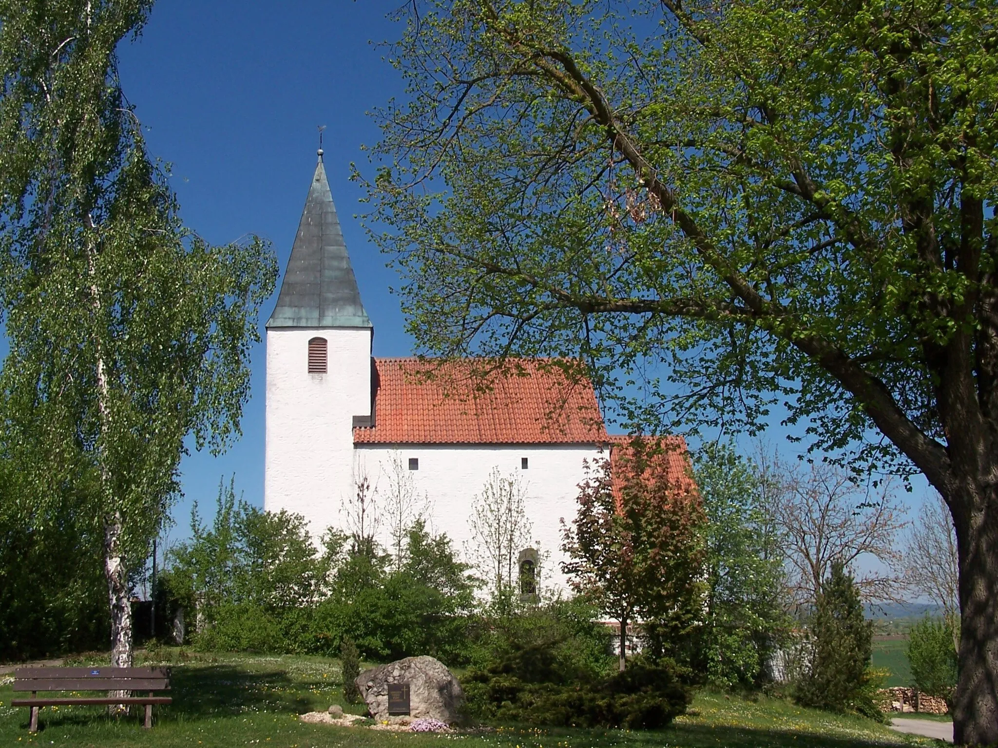
AufhausenVillageAufhausen is a small village with beautiful natural surroundings. Take a moment to appreciate the peacefulness and serenity of the area.
45 km
45 km
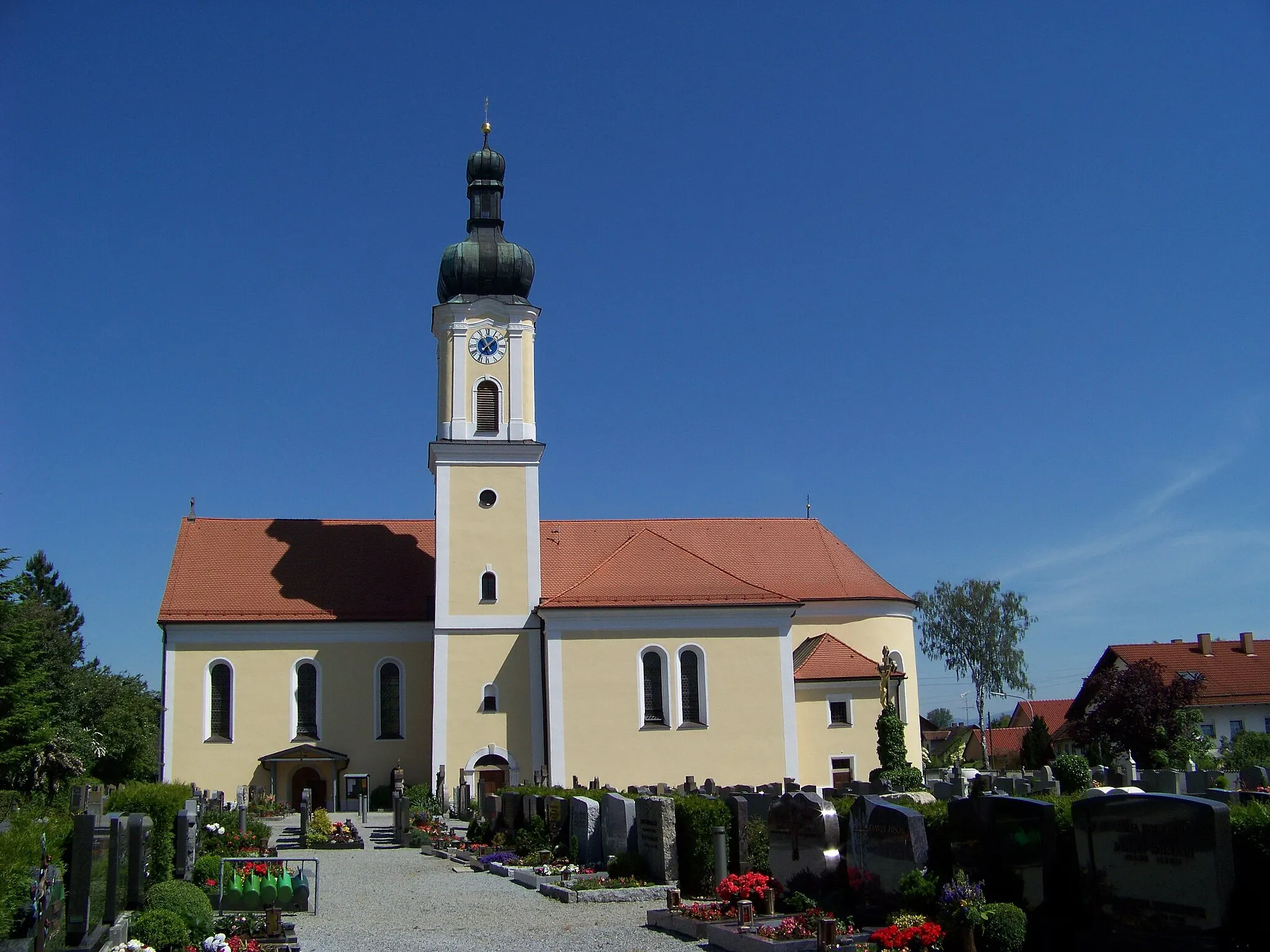
AlteglofsheimVillageAlteglofsheim is known for its picturesque landscapes. Enjoy the views and take a break surrounded by nature.
56 km
56 km
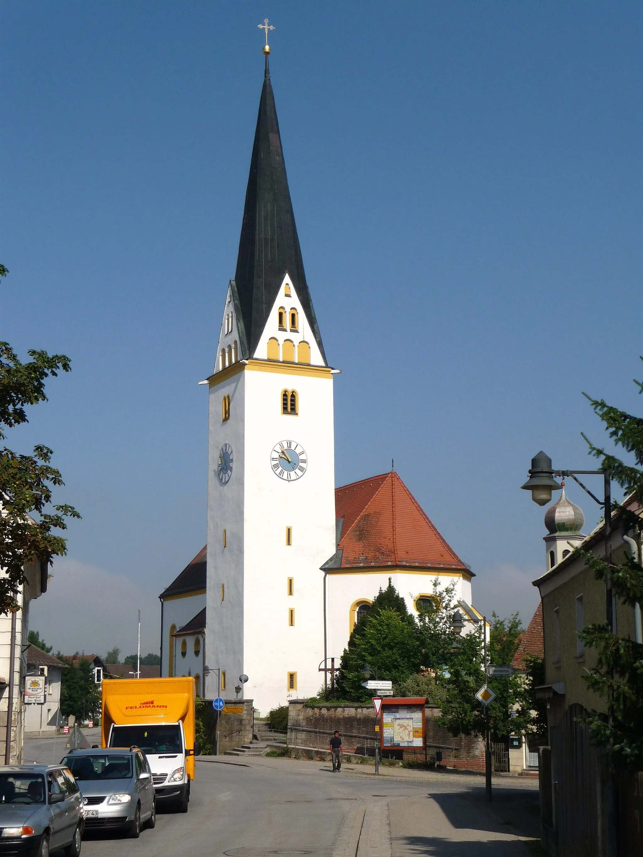
RiekofenVillageRiekofen is a historic village with a rich heritage. Explore its streets and discover its cultural significance before continuing your journey.
75 km
75 km
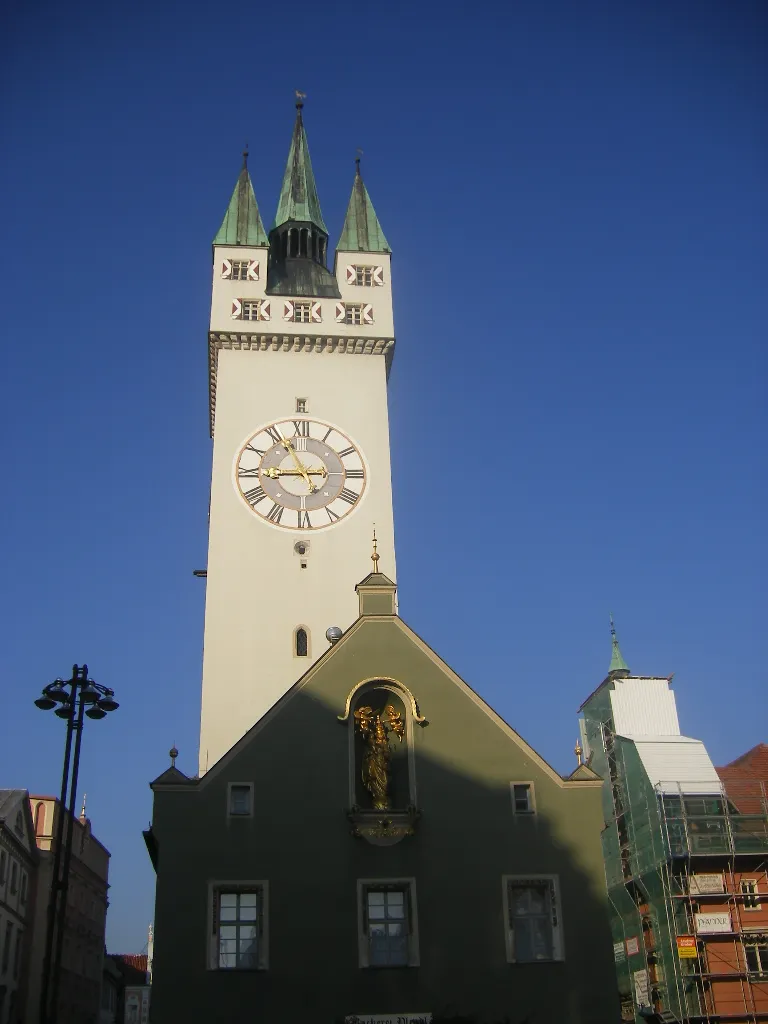
EisturmViewpointEisturm is a historic tower located in Straubing. Stop by to learn about its history and enjoy the panoramic views of the city.
76 km
76 km
StraubingTownStraubing is a vibrant city with a diverse cultural scene. Explore its streets and visit local attractions, including museums and historic buildings.
82 km
82 km
Finish: Aiterhofen Village centerAiterhofen: Scenic cycling through the rolling hills of Niederbayern.
Cycling routes from Aiterhofen:
Straubing Loop Scenic Gravel Tour through Aiterhofen and Surroundings Scenic Gravel Adventure through Geltolfing and Straubing Cycling through Salching and Wallkofen Scenic Tour of Aiterhofen Gravel Adventure around Straubing Discover the Gravel Trails of Kößnach Road Cycling Tour to Salching and Thalmassing Gentle Hills and Picturesque Landscapes Gravel Adventure The Scenic Road Trip Wiesenfelden Gravel Adventure
Cycling routes nearby: