The Gravel Adventure of Hauzenberg
A gravel cycling route starting from Hauzenberg
Experience the thrill of gravel biking on a challenging route
Map
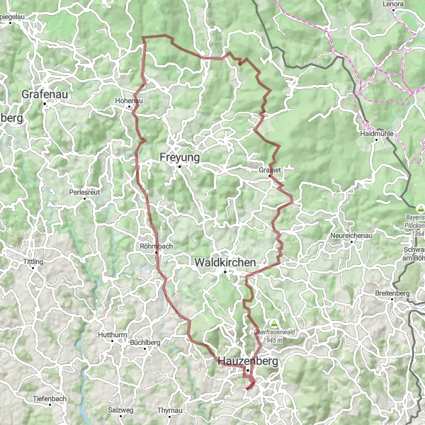
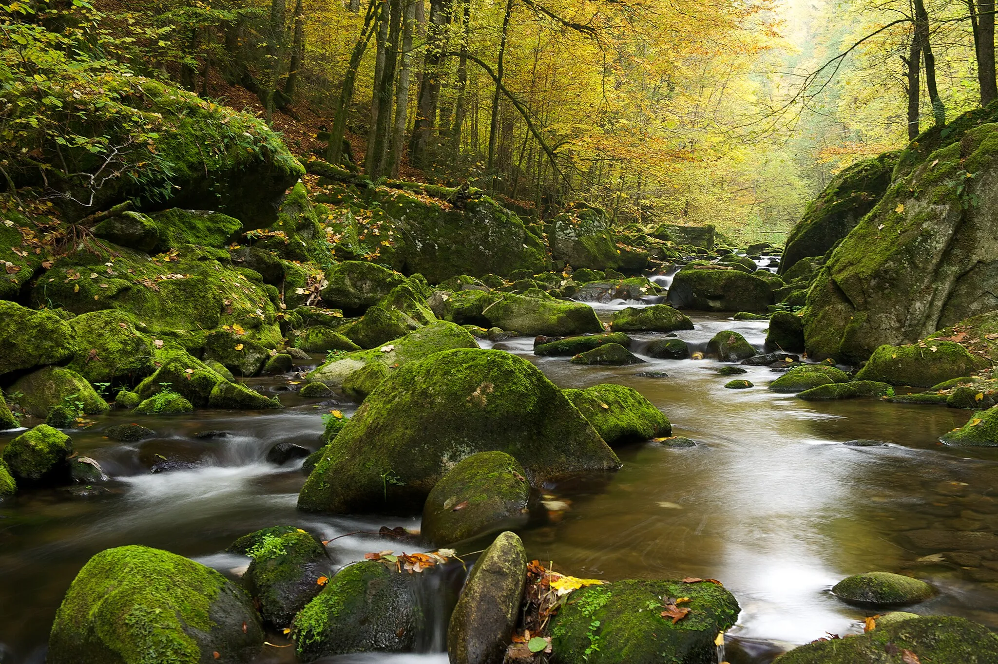
Embark on a daring gravel adventure starting from Hauzenberg. This route is perfect for adventurous cyclists looking to test their skills and endurance. With a total ascent of 2321 meters and a distance of 92 kilometers, you'll be faced with rewarding climbs and thrilling descents. Get ready to discover hidden gems along the way and immerse yourself in the beautiful landscapes of Niederbayern, Germany.
gravel
92 km
2321 m
Tough
Route profile
Highlights on the route
0 km
0 km
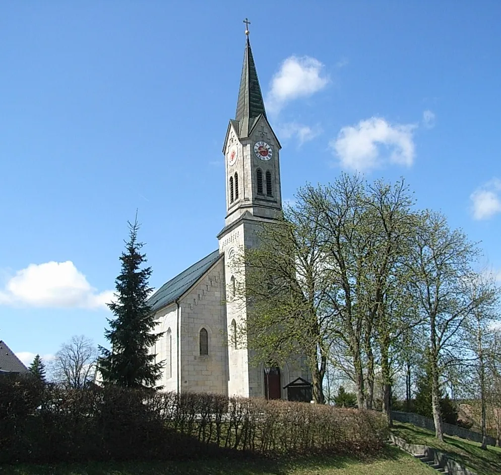
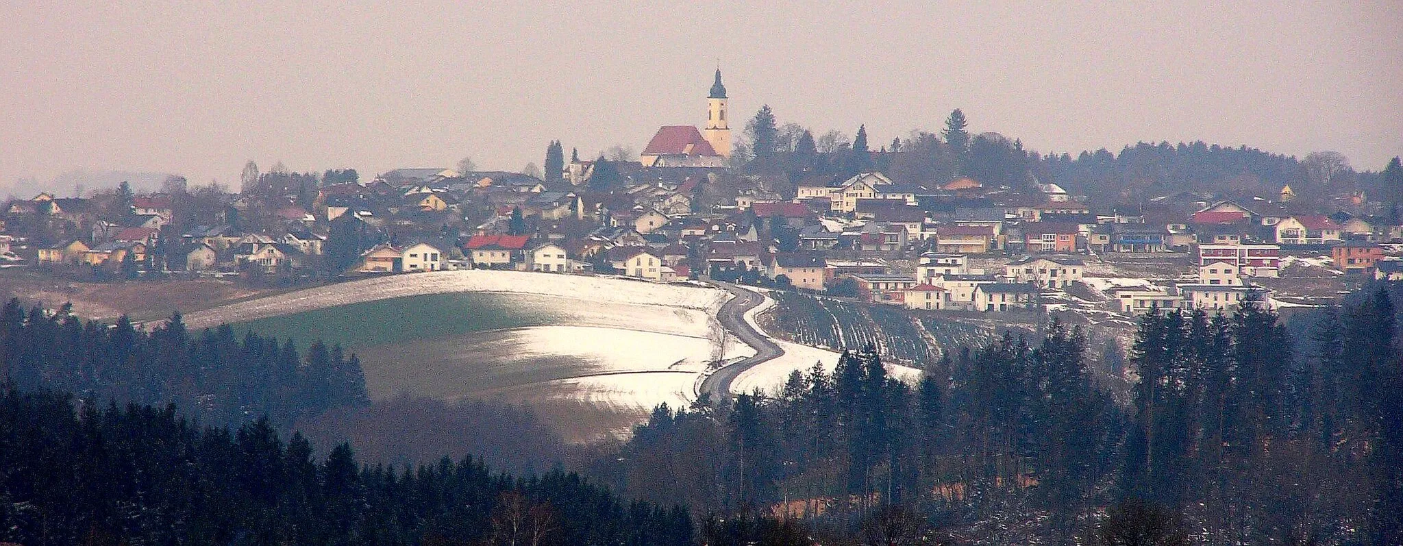
Start: Glotzing Village centerHauzenberg: Discover Niederbayern's beauty on two wheels.
Hauzenberg, located in Niederbayern, Germany, is a pleasant locality for road and gravel cyclists. The town is situated amidst a picturesque landscape with scenic views and charming villages to explore during cycling rides. Additionally, cyclists can access the Dreisesselberg, a well-known cycling spot offering challenging gradients and panoramic vistas. Hauzenberg provides great cycling opportunities for both leisurely rides and more challenging excursions.15 km
15 km
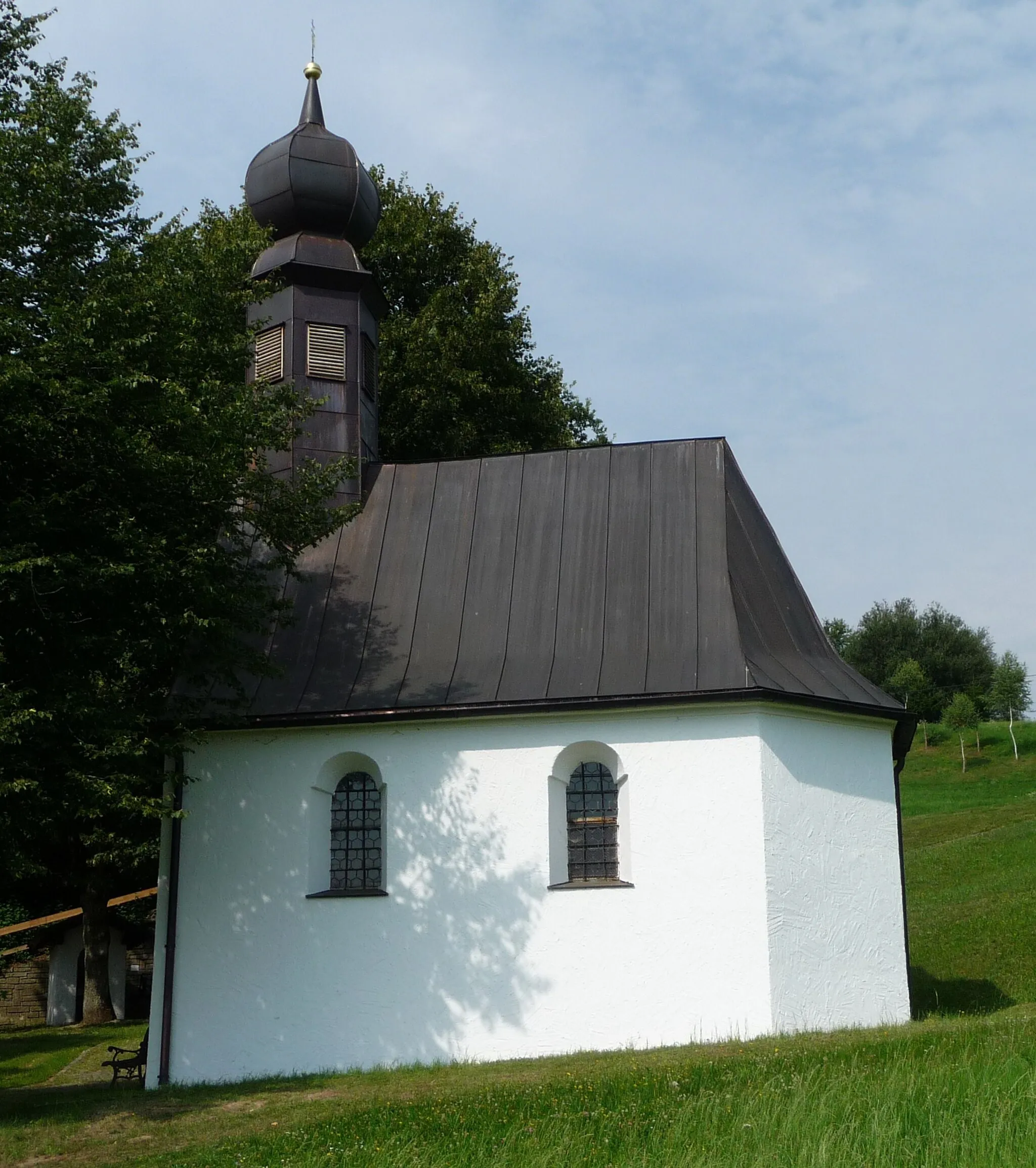
AußernbrünstVillageHead to Außernbrünst, a quaint village known for its traditional Bavarian charm. Take a break and savor the local cuisine while admiring the picturesque surroundings.
22 km
22 km
KumreutVillageMake a stop at Kumreut, a small village famous for its historic architecture and charming atmosphere. Explore the winding streets and learn about the fascinating local history.
43 km
43 km
Grosse Kanzel1002 mPeakExperience the breathtaking views from Grosse Kanzel, a prominent lookout point offering panoramic vistas of the surrounding countryside. Capture stunning photos as a memento of your adventure.
46 km
46 km
MauthVillageVisit Mauth, a charming town situated at the entrance of the Bavarian Forest National Park. Discover the rich cultural heritage and enjoy outdoor activities like hiking and wildlife spotting.
55 km
55 km
Schwarzkopf1060 mPeakReach Schwarzkopf, a mountain peak known for its stunning natural beauty. Take a moment to appreciate the peaceful surroundings and soak in the tranquility of nature.
64 km
64 km
GrainetVillageExplore Grainet, a scenic village nestled amidst rolling hills and lush forests. Wander through the narrow streets and admire the traditional Bavarian architecture.
73 km
73 km
Neufanger Berg755 mPeakClimb Neufanger Berg, a challenging ascent that offers rewarding views of the surrounding landscapes. Push yourself to the limit and embrace the sense of achievement at the top.
89 km
89 km
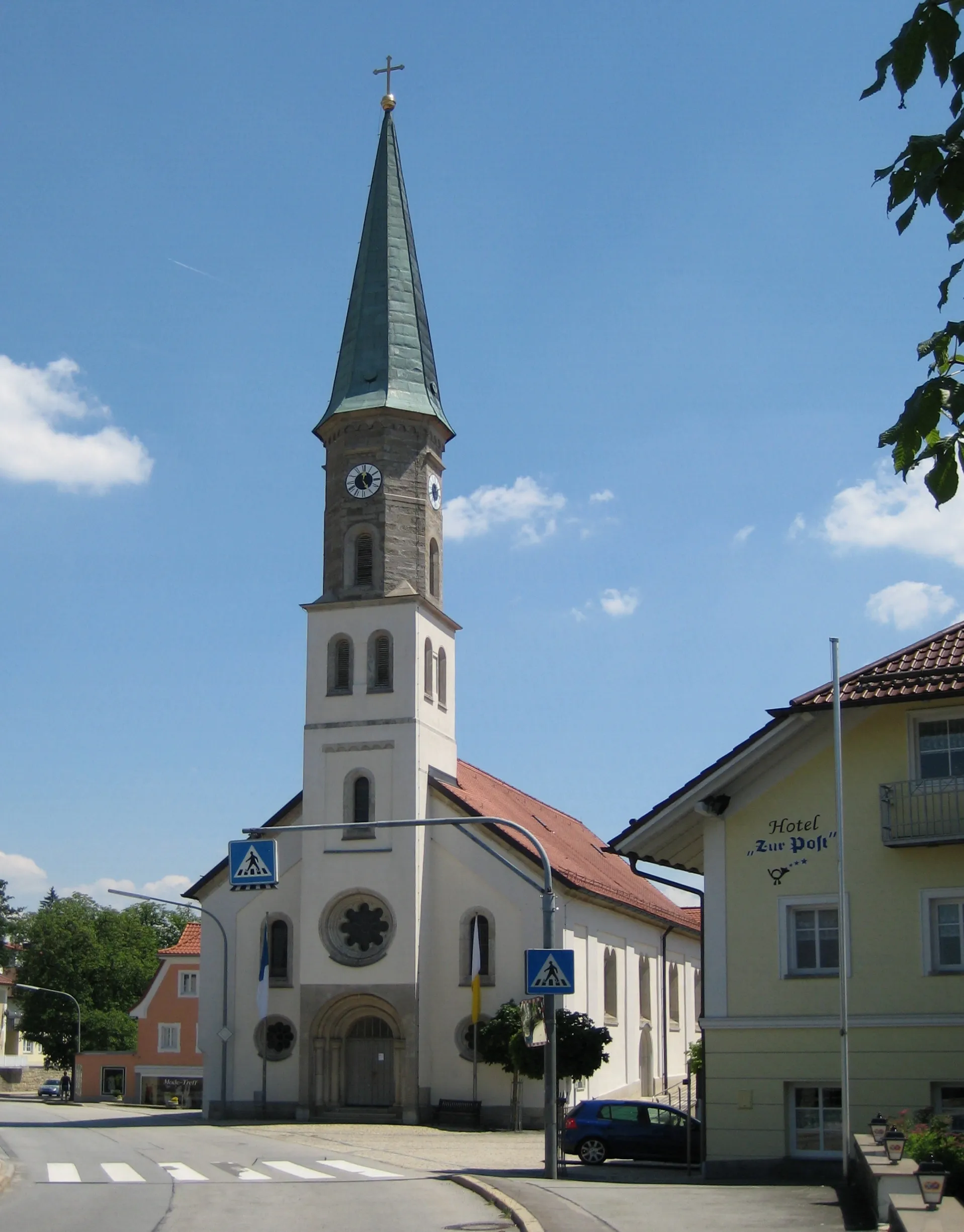
HauzenbergTownReturn to Hauzenberg, the starting point of your epic adventure. Reflect on your journey and celebrate your accomplishments with a well-deserved meal at one of the local restaurants.
92 km
92 km
Finish: Glotzing Village centerHauzenberg: Discover Niederbayern's beauty on two wheels.
Cycling routes from Hauzenberg:
Gravel Delight The Gravel Challenge Historical Road Expedition The Road Cycling Delight of Hauzenberg Hauzenberg to Mauth Cycling Route The Splendors of Niederbayern's Gravel Trails The Gravel Adventure of Hauzenberg The Great Bavarian Expedition A Road Cycling Adventure The Scenic Gravel Route of Hauzenberg Panoramic Hauzenberg Loop Böhmerwald Adventure Charming Bavarian Trail Climbers' Paradise
Cycling routes nearby: