Tranquil cycling oasis in Niederbayern with beautiful landscapes.
Cycling routes from Hohenthann
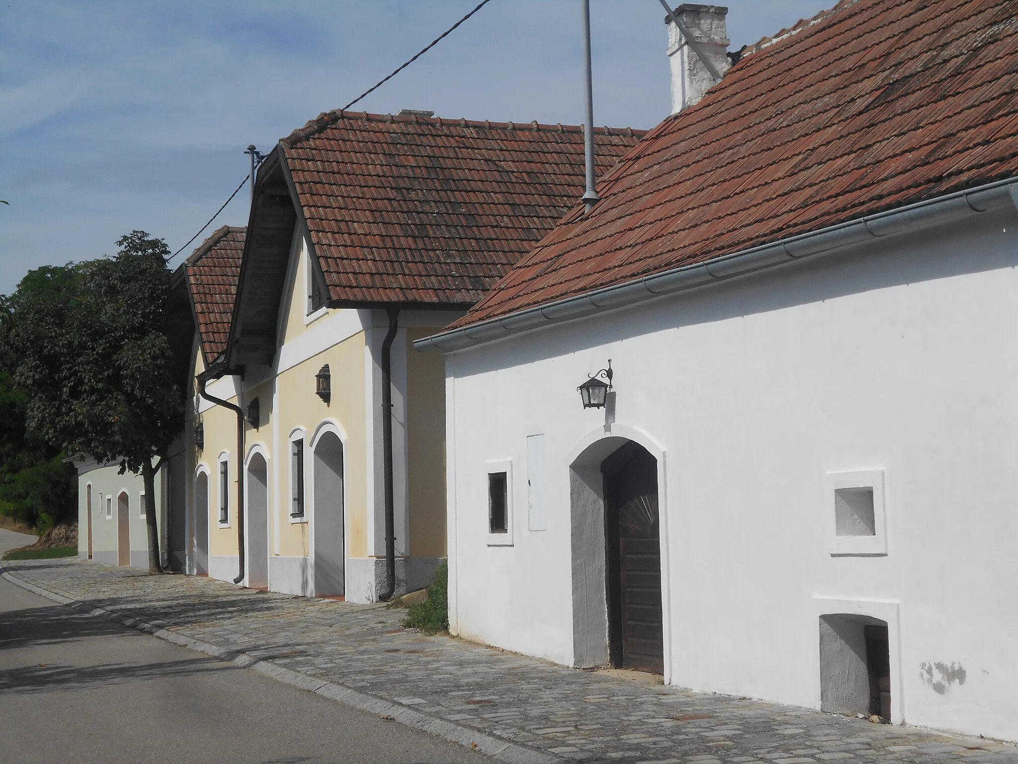
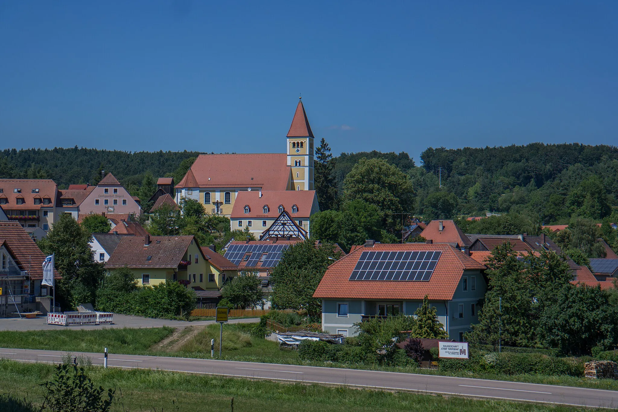
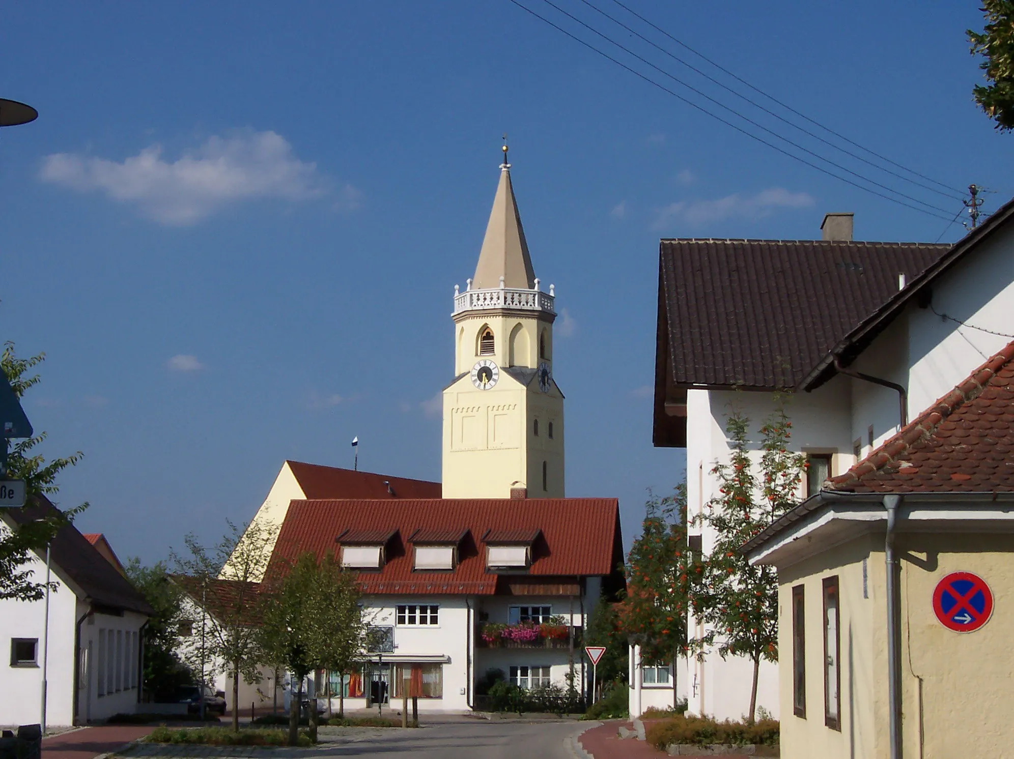
Hohenthann in Niederbayern, Germany, is a cyclist-friendly locality offering a mix of paved roads and gravel paths. The surrounding area features beautiful landscapes filled with rolling hills and charming countryside. Though not known for legendary climbs, Hohenthann provides a peaceful and enjoyable cycling experience. Cyclists can explore the region at their own pace, taking in the serene views and experiencing the warm hospitality of the locals. With its tranquil atmosphere and scenic beauty, Hohenthann is a great choice for cyclists seeking a relaxed cycling holiday.
Discover the charming town of Hohenthann and its beautiful countryside
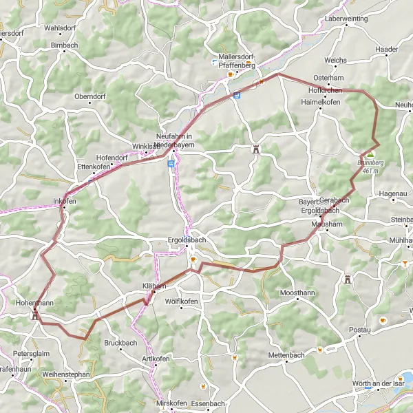
This cycling route will take you through the picturesque town of Hohenthann and the surrounding areas in Niederbayern, Germany. Offering a mix of stunning natural landscapes and charming cultural highlights, this route is perfect for both avid cyclists and nature enthusiasts. With a distance of 57 kilometers and an ascent of 516 meters, it is suitable for well-trained amateur cyclists. Get ready to explore a diverse range of terrain, from gravel paths to country roads.
Embark on a gravel adventure through the beautiful countryside of Niederbayern
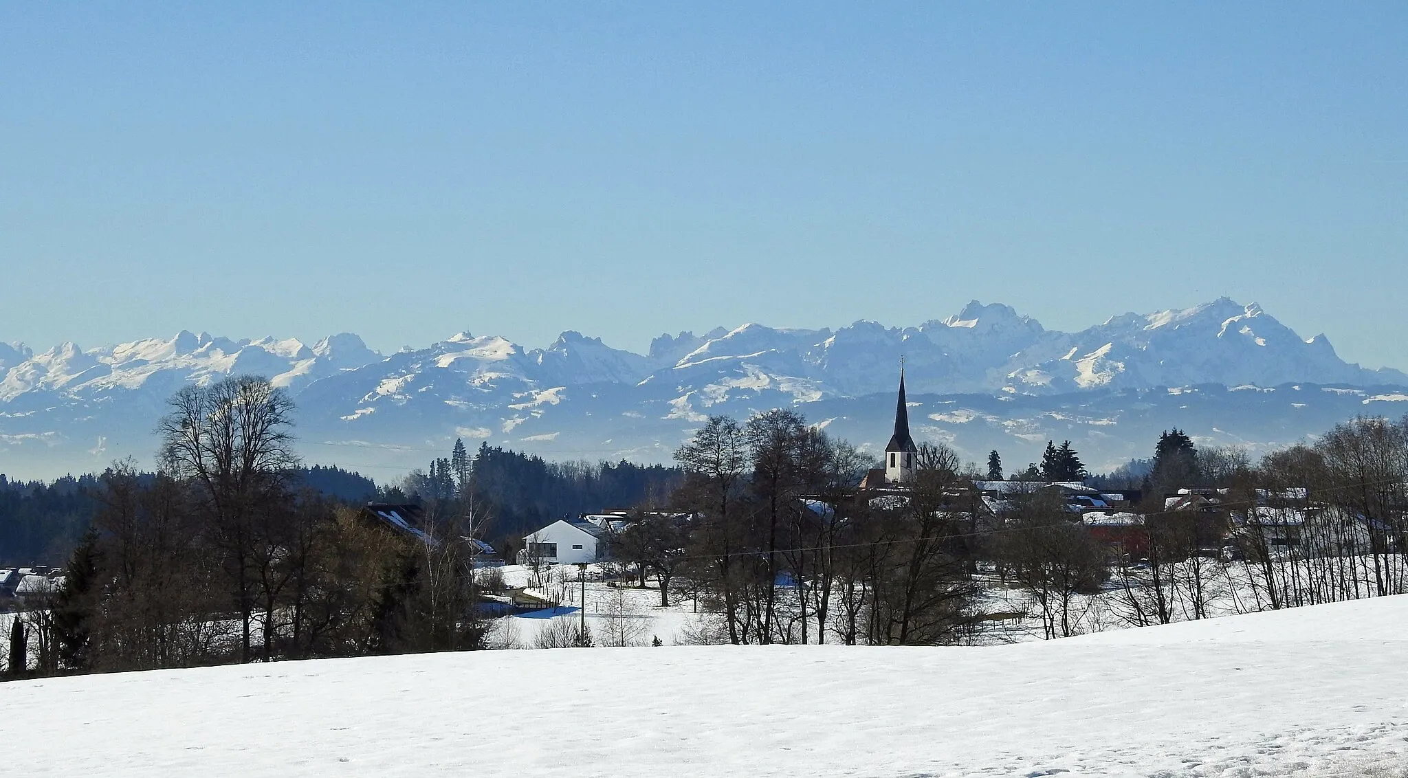
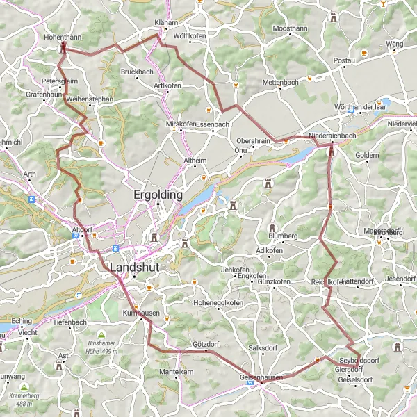
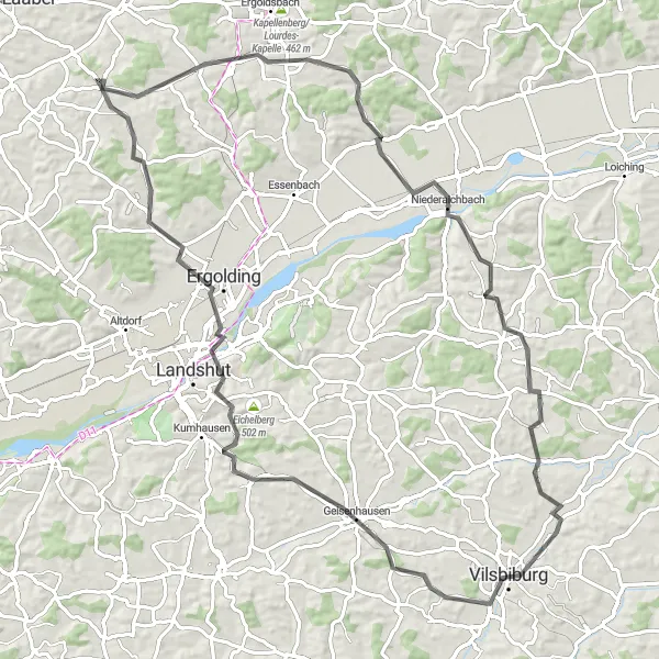
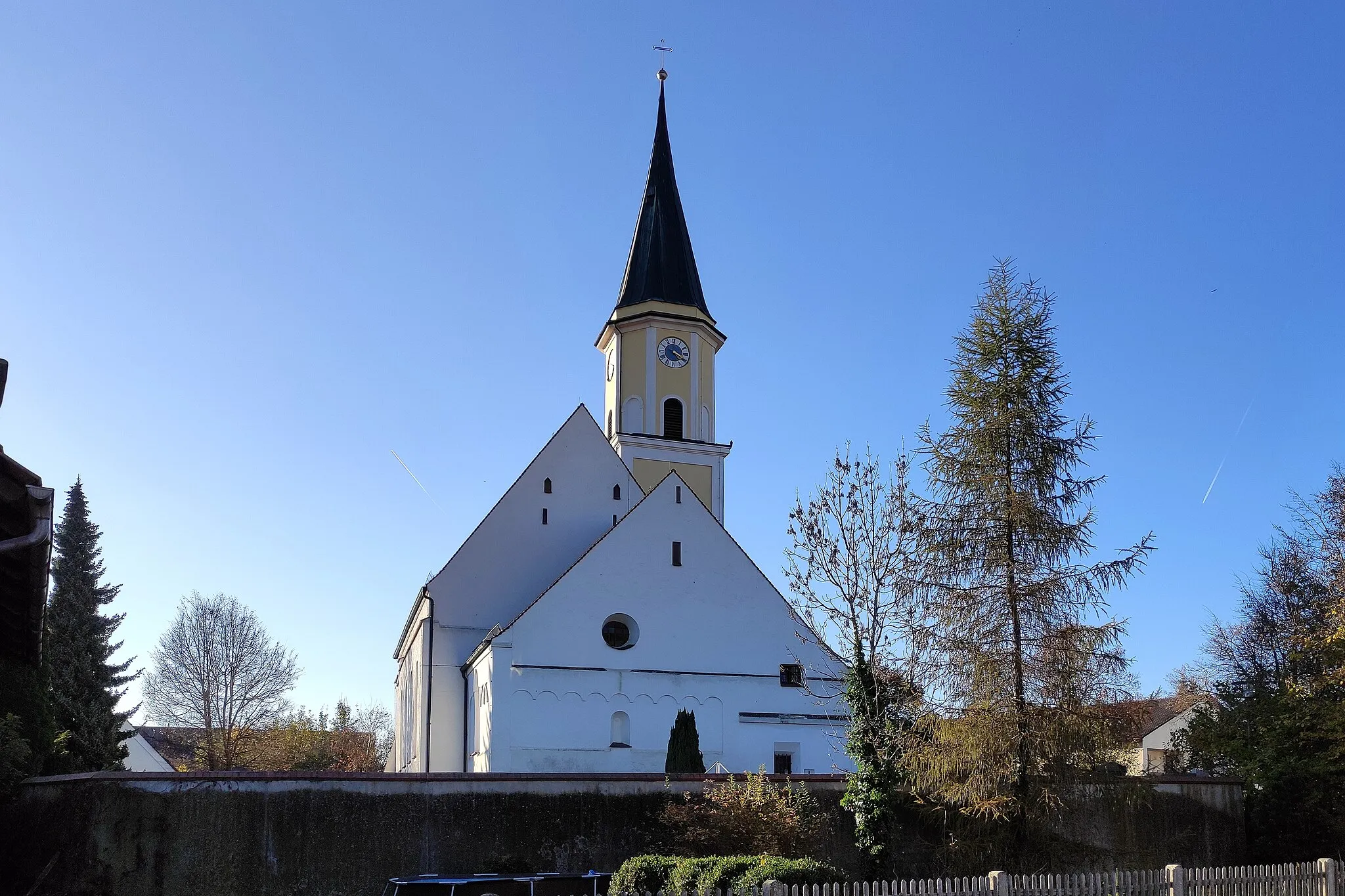
Get off the beaten path and explore the rural beauty of Niederbayern on this 81-kilometer gravel cycling route. With an ascent of 824 meters, this route is suitable for experienced gravel riders. Be prepared for varied terrain as you cycle through Hohenthann, Hohe Bürg, Niederaichbach, and Geisenhausen. Take in the breathtaking views of Altdorf and Oberglaim before returning to Hohenthann. This route offers a unique opportunity to connect with nature and immerse yourself in the peaceful ambiance of the Bavarian countryside.
Hohenthann to Weihmichl Loop
A scenic road cycling route with a challenging climb to Weihmichl.
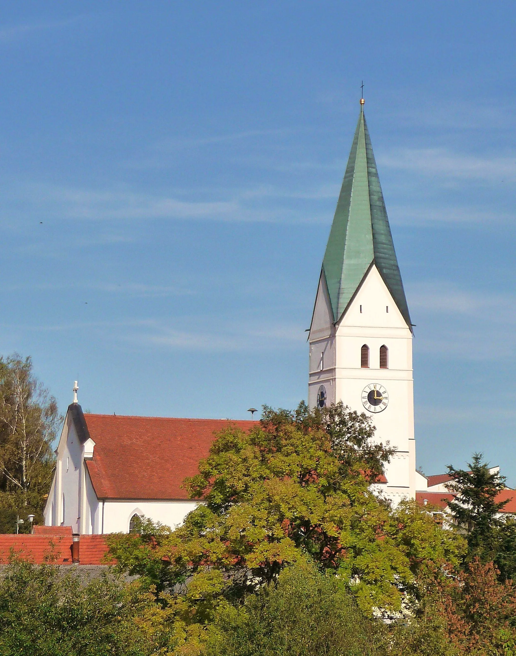
This road cycling loop from Hohenthann takes you on a picturesque journey through Niederbayern. The route features a challenging climb to Weihmichl and offers stunning countryside views. Cyclists can enjoy the peaceful surroundings and experience traditional Bavarian villages along the way.
Experience the natural beauty of Niederbayern on this road cycling tour
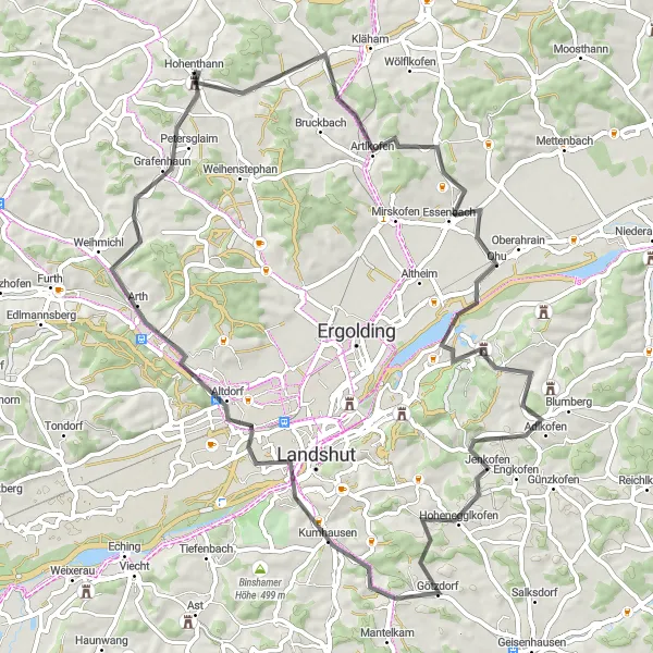
This 69-kilometer road cycling route will take you on a journey through the scenic landscapes of Niederbayern. With an ascent of 653 meters, this route is more challenging and suitable for experienced cyclists. As you pedal your way through Hohenthann, Adlkofen, Kumhausen, and Weihmichl, you'll be captivated by the stunning beauty of the region. Don't forget to make a stop in Annaberg and Petersglaim, where you can explore historic landmarks and enjoy breathtaking views of the surrounding countryside.
A challenging road cycling route with stunning views of the countryside.
This road cycling loop from Hohenthann takes you on a challenging ride through stunning Niederbayern landscapes. The route offers panoramic views of the countryside and takes you through picturesque villages along the way. It is a perfect ride for cyclists who enjoy both challenging climbs and beautiful sceneries.
Discover the charm of the Bavarian countryside on this road cycling tour
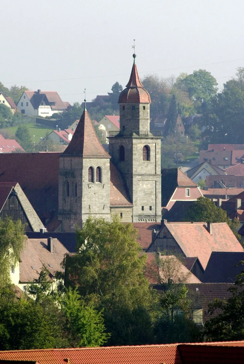
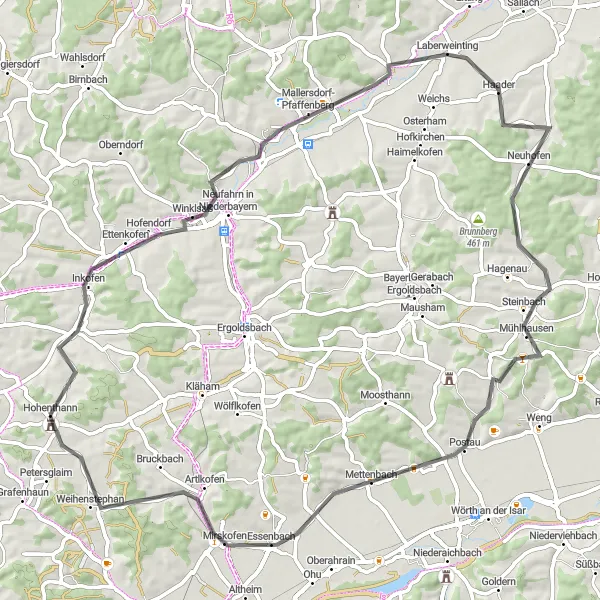
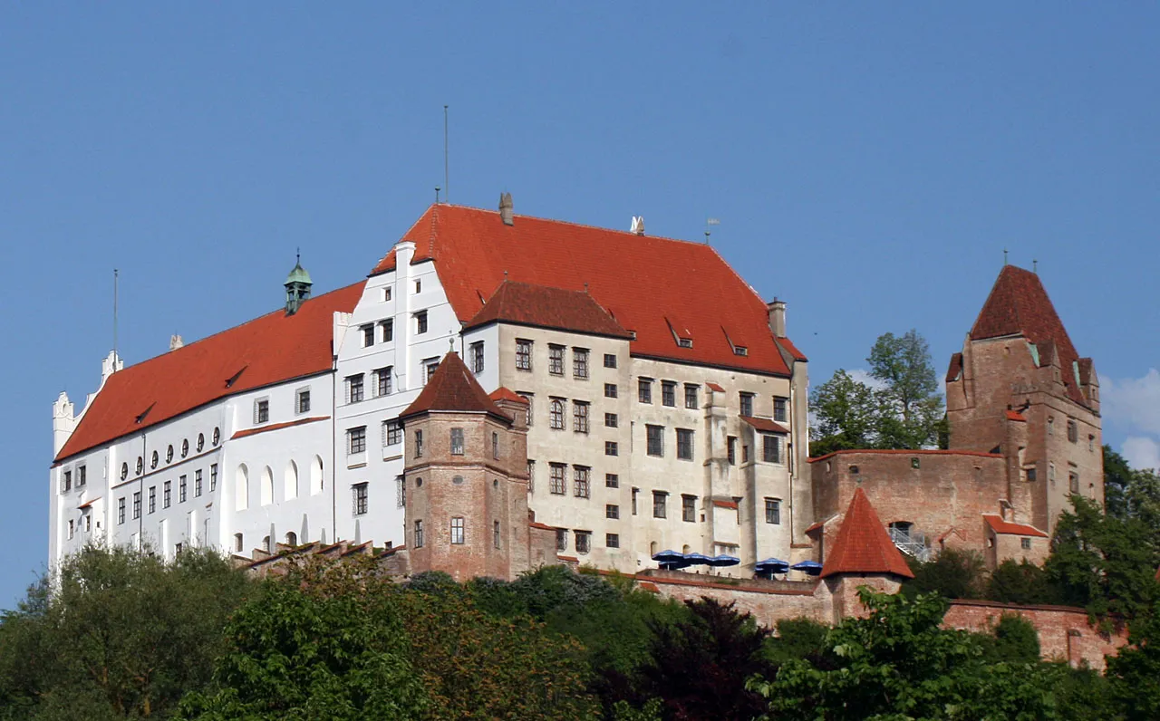
Embark on a memorable journey through the picturesque Bavarian countryside on this 73-kilometer road cycling route. With an ascent of 563 meters, this route is suitable for intermediate cyclists. As you pedal your way through Neufahrn in Niederbayern, Laberweinting, Teufelsberg, and Essenbach, you'll be enchanted by the beauty of the region. Don't forget to make a stop at Schloss Hohenthann, a majestic castle that offers a glimpse into the region's rich history. End your journey back in Hohenthann, where you can relax and relish in the tranquility of the Bavarian countryside.
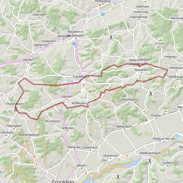
A picturesque gravel cycling route with cultural highlights.
Experience the beauty of Niederbayern with this picturesque gravel cycling loop from Hohenthann. The route takes you through scenic landscapes, charming villages, and cultural highlights. Enjoy the peaceful surroundings and immerse yourself in the traditional Bavarian atmosphere. This ride is suitable for gravel enthusiasts looking for a scenic and cultural adventure.

A delightful road cycling loop with a mix of scenic landscapes and charming villages.
The Högetsing Circuit is a delightful road cycling loop from Hohenthann that offers a mix of scenic landscapes and charming Bavarian villages. The route takes you through rolling hills, lush green meadows, and beautiful forests, providing a pleasant and peaceful riding experience. It is an ideal ride for cyclists who appreciate serene surroundings and enjoy exploring traditional Bavarian culture.
Rural Beauty of Niederbayern
Embark on a cycling adventure through the scenic landscapes of Niederbayern
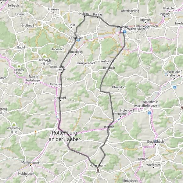
Get ready for an enchanting ride through the rural beauty of Niederbayern, Germany. This 57-kilometer road cycling route offers a perfect blend of natural landscapes and cultural highlights. With a difficulty level of 2, it is suitable for intermediate cyclists. As you navigate your way through Rottenburg an der Laaber, Langquaid, Schierling, and Piegendorf, you'll be treated to breathtaking vistas and charming villages. End your journey back in Hohenthann, where you can relax and enjoy the traditional Bavarian hospitality.
Hohenthann to Hohenthann
Experience the scenic beauty and intriguing history along this circular cycling route near Hohenthann.
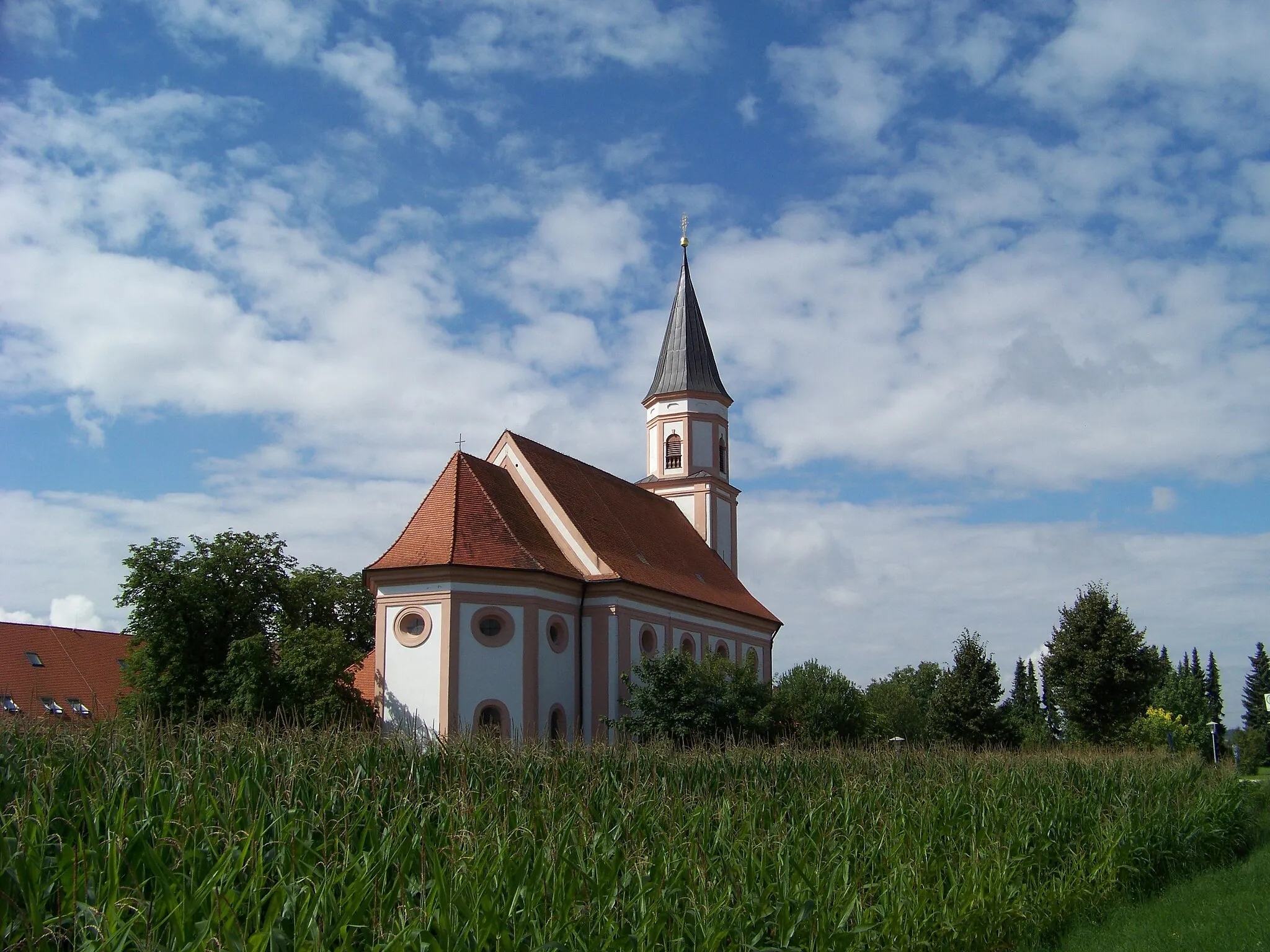
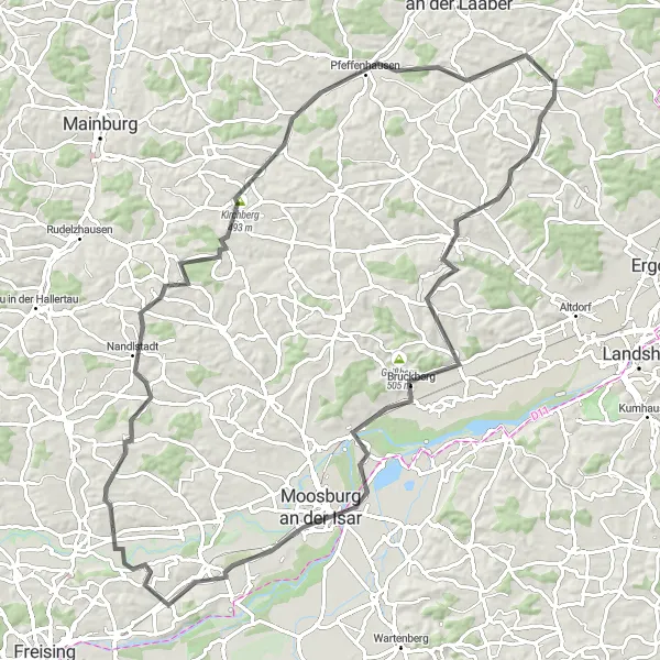
This circular cycling route near Hohenthann offers a captivating journey through picturesque landscapes and charming towns. With a total distance of 62 kilometers and an ascent of 646 meters, this route is suitable for well-trained amateur cyclists seeking a moderately challenging adventure. Discover the stunning natural vistas and immerse yourself in the culture and history of the region as you pedal through quaint villages and rolling countryside. From the enchanting town of Pfeffenhausen to the iconic Koppenberg climb, each highlight along the way is guaranteed to leave a lasting impression.
Cycling routes nearby:

Nearby regions: