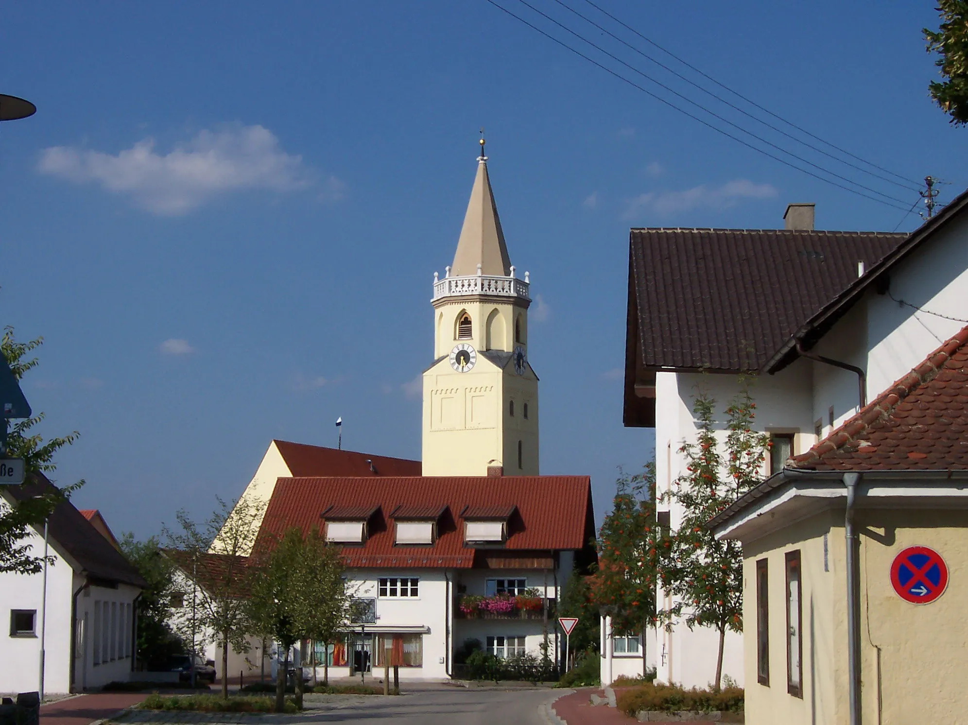
Calm and gentle cycling in Ergolding.
Cycling routes from Ergolding
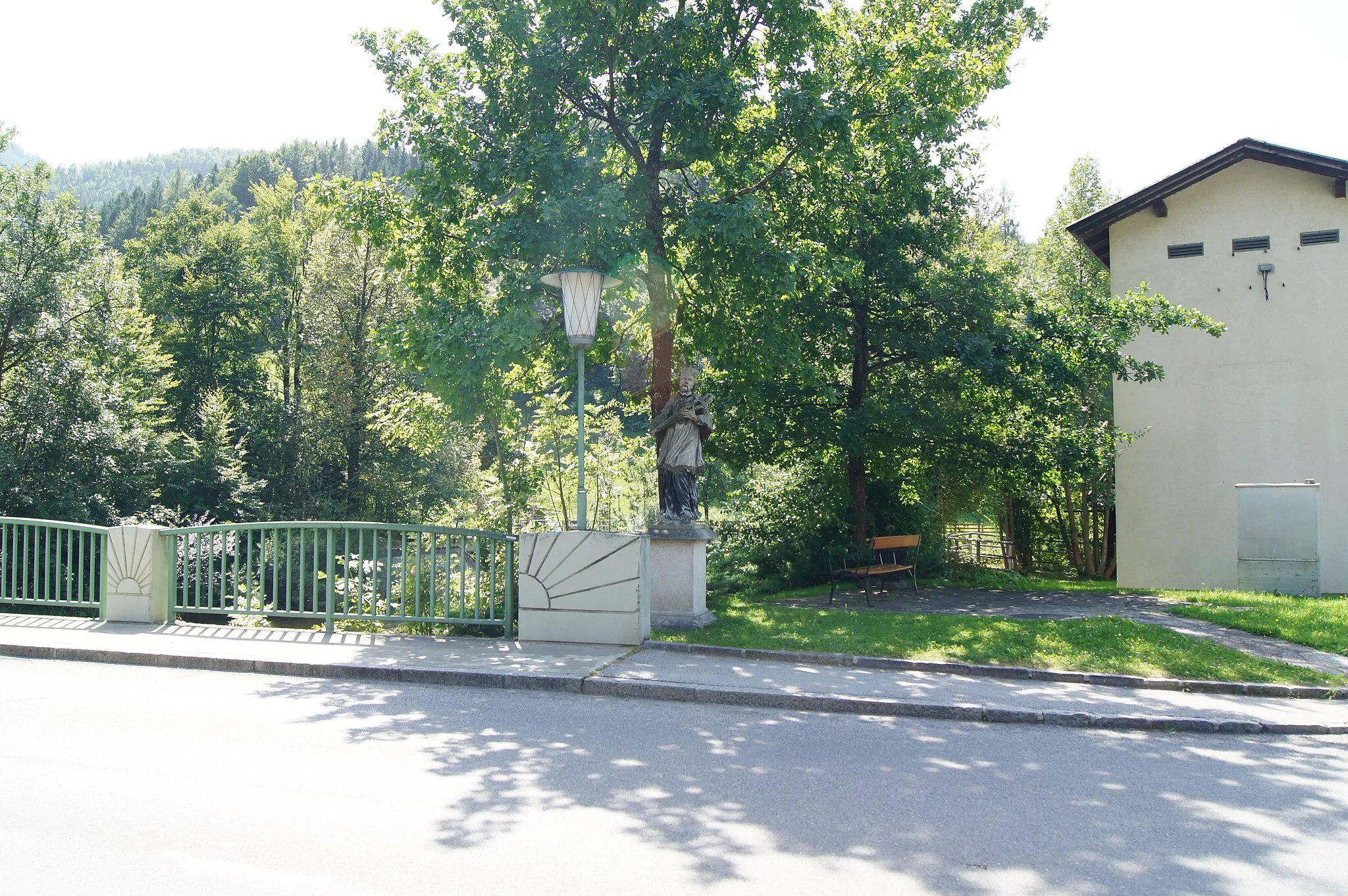
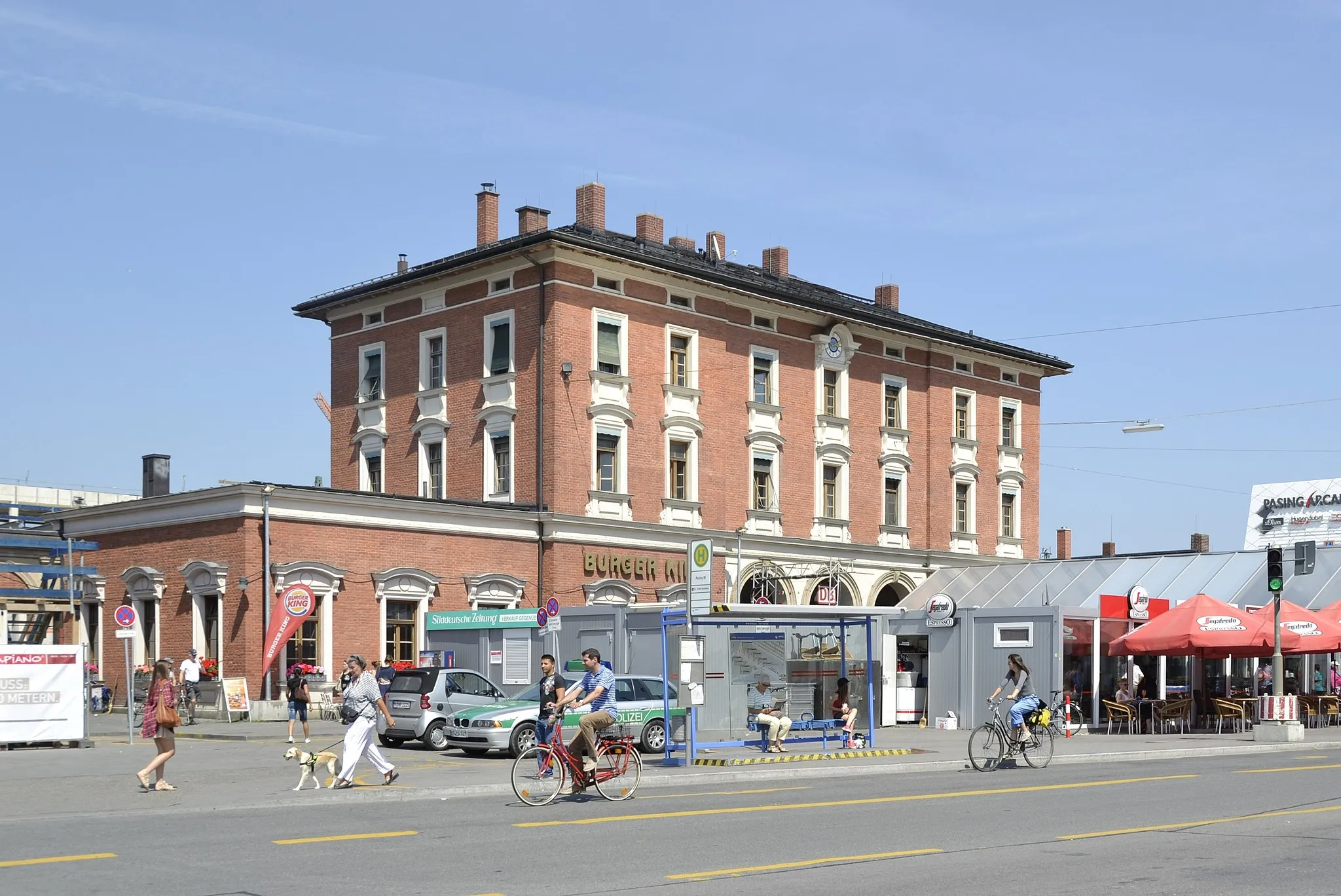
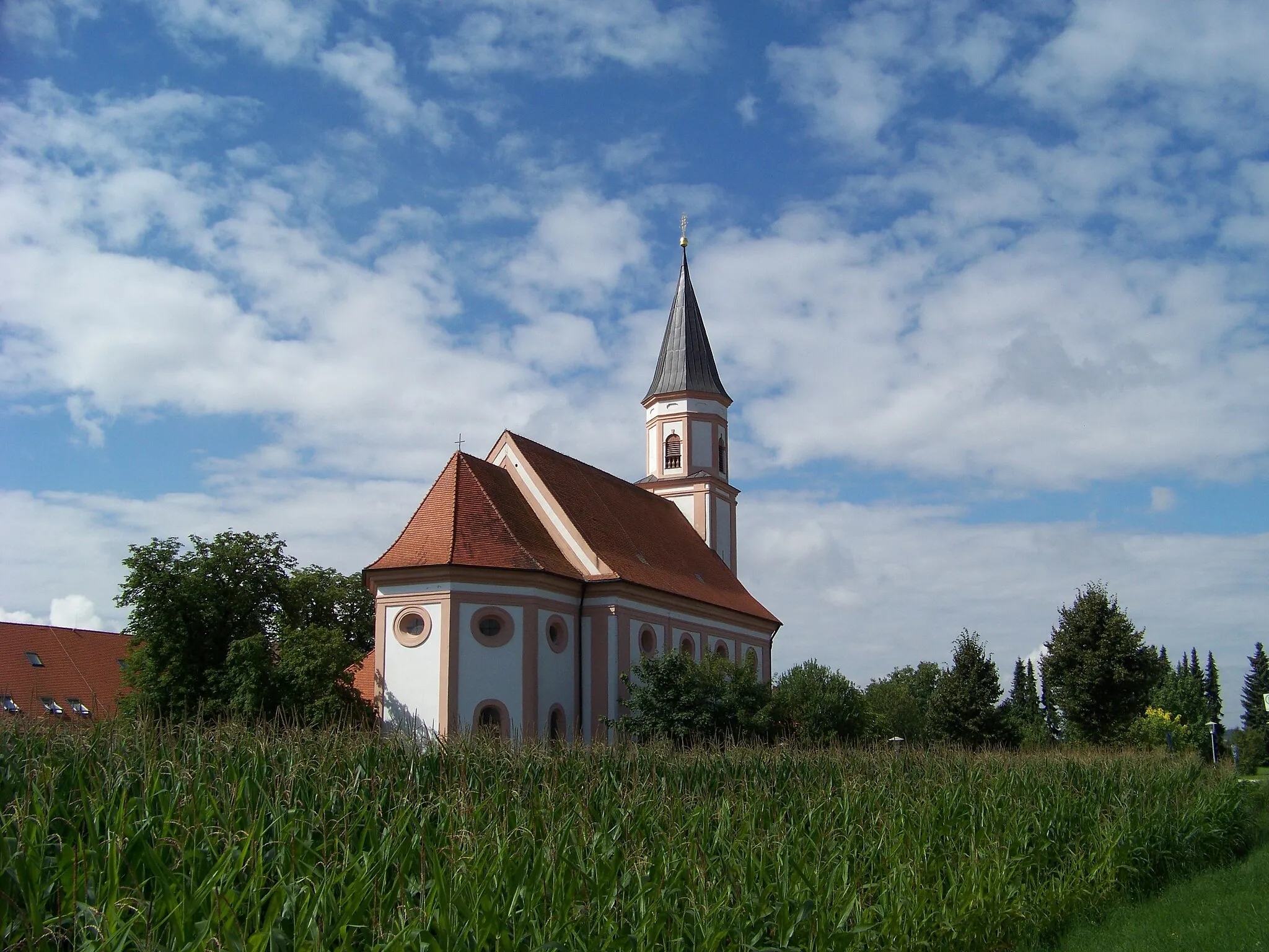
Ergolding is a municipality located in Niederbayern, Germany. While it is not particularly known for its cycling opportunities, Ergolding offers some enjoyable routes for road and gravel cyclists. The terrain is mostly flat with gentle rolling hills, making it suitable for cyclists of varying skill levels. Although there are no famous cycling-related spots or well-known climbs directly nearby, the rural roads and paths provide scenic routes for cycling enthusiasts. Ergolding itself does not have specific cycling infrastructure or dedicated tourism facilities for cyclists, but it can be a quiet and calm starting point for exploring the surrounding countryside by bike.
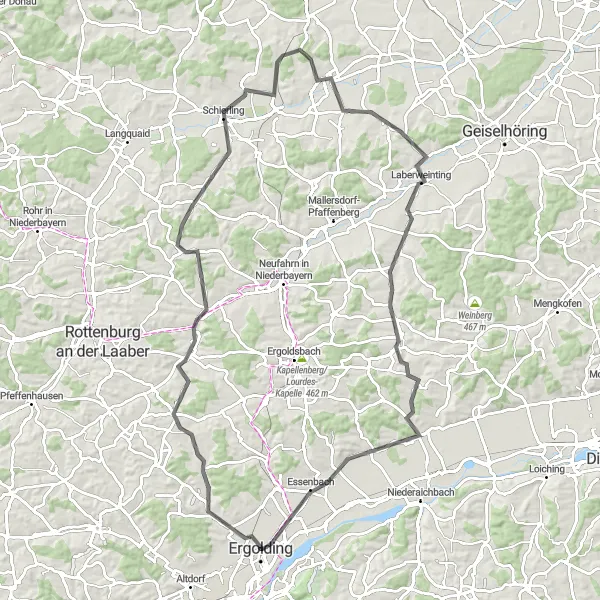
The Gravel Trails of Rottenburg
Discover the gravel trails surrounding Rottenburg an der Laaber
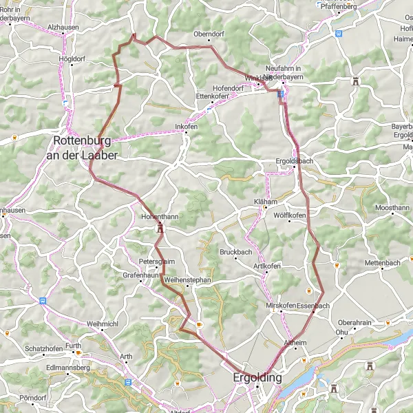
Embark on a 62-kilometer gravel cycling adventure through the scenic trails near Rottenburg an der Laaber. With a total ascent of 584 meters, this route offers moderate challenges for gravel enthusiasts. Highlights along the way include Galgenberg, Hohenthann, Winklsaß, Kapellenberg/Lourdes-Kapelle, and Essenbach. Suitable for intermediate-level riders, this route promises an exhilarating journey amidst the natural beauty of the region.
Enjoy the scenic roads of Obersüßbach on this road cycling route
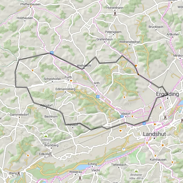
Uncover the beauty of Obersüßbach and its surroundings with this 47-kilometer road cycling route. With a total ascent of 376 meters, the route offers a leisurely yet scenic experience for road cyclists. Highlights on this route include Altdorf, Obersüßbach, Weihmichl, and Galgenberg. Suitable for cyclists of all levels, this route guarantees a pleasant journey through the captivating landscapes of Niederbayern.
Ergolding Gravel Adventure
Embark on an exciting gravel adventure near Ergolding
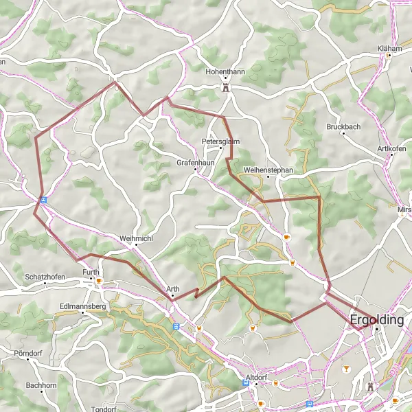
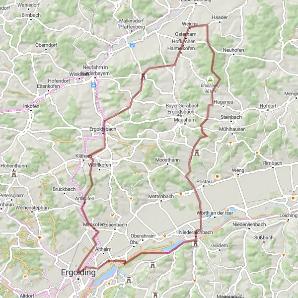
Experience the thrill of gravel cycling near Ergolding with this 44-kilometer route. With a total ascent of 565 meters, the route takes you through scenic landscapes and offers moderate challenges for adventurous cyclists. Discover highlights such as Weihmichl, Schmatzhausen, Petersglaim, and Galgenberg along the way. Suitable for gravel enthusiasts of all levels, this route promises an enjoyable cycling experience in the heart of Niederbayern.
The Ergolding Loop
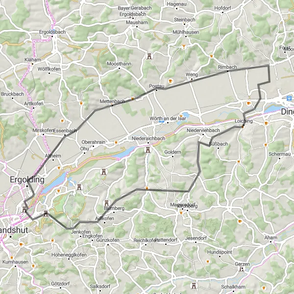
Experience the charm of rural Bavaria on this distinctive round-trip cycling route.
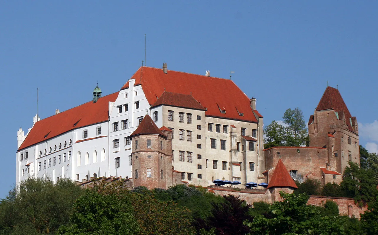
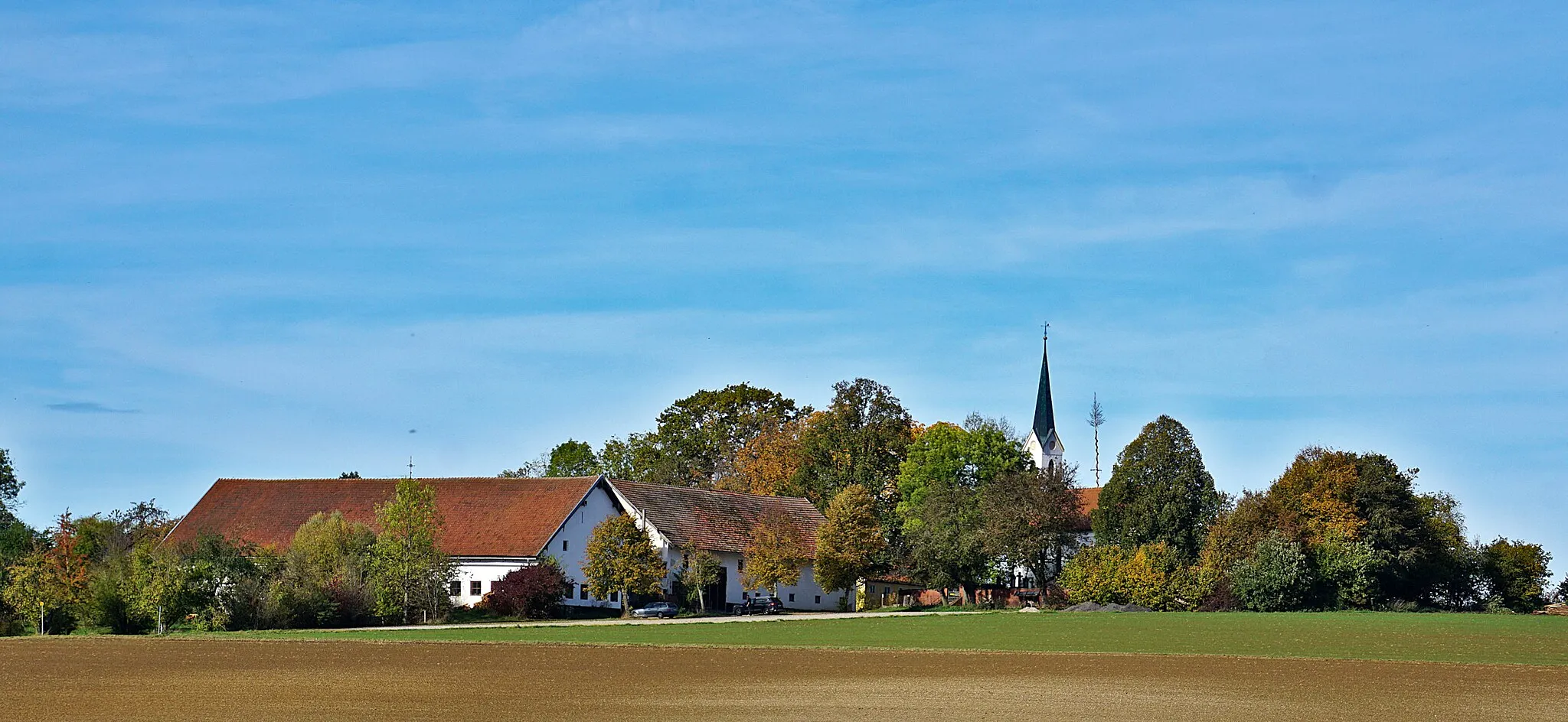
Cycle through the picturesque countryside of Niederbayern, passing quaint villages, rolling hills, and historical landmarks. With a total distance of 63 km and an ascent of 405 meters, this road route provides a moderate challenge for well-trained amateur cyclists. The route begins in Ergolding, a charming town with a rich history, and passes through Essenbach, Postau, Loiching, Adlkofen, Carossahöhe, and Schloss Piflas. Highlights include scenic viewpoints, a beautiful castle, and traditional Bavarian cuisine at local restaurants.
Challenge yourself on the Laberweinting road trail through picturesque landscapes
The Laberweinting Road Trail is a 94-kilometer route that takes you through some of the most stunning landscapes near Ergolding. With an ascent of 593 meters, this road adventure is recommended for well-trained amateur cyclists who are up for a challenge. As you pedal along the route, you'll be rewarded with sweeping views of the rolling Bavarian countryside and have the chance to explore historic towns along the way.
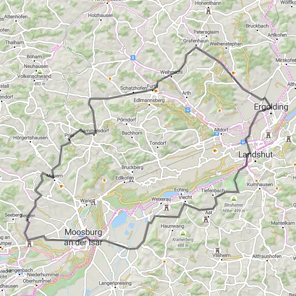
Take on the challenge of this epic road cycling route with stunning countryside views.
This 79 km road route showcases the beauty of the surrounding landscape, with a challenging ascent of 639 meters. Starting in Ergolding, you'll pass through Landshut, Birkenberg, Schusterberg, Moosburg an der Isar, Mauern, Ameisenberg, Furth, Oberglaim, and Galgenberg. The route offers beautiful views of the rolling hills, historical landmarks, and charming villages along the way. Suitable for experienced amateur cyclists, this route provides a satisfying mix of scenic beauty and physical challenge.
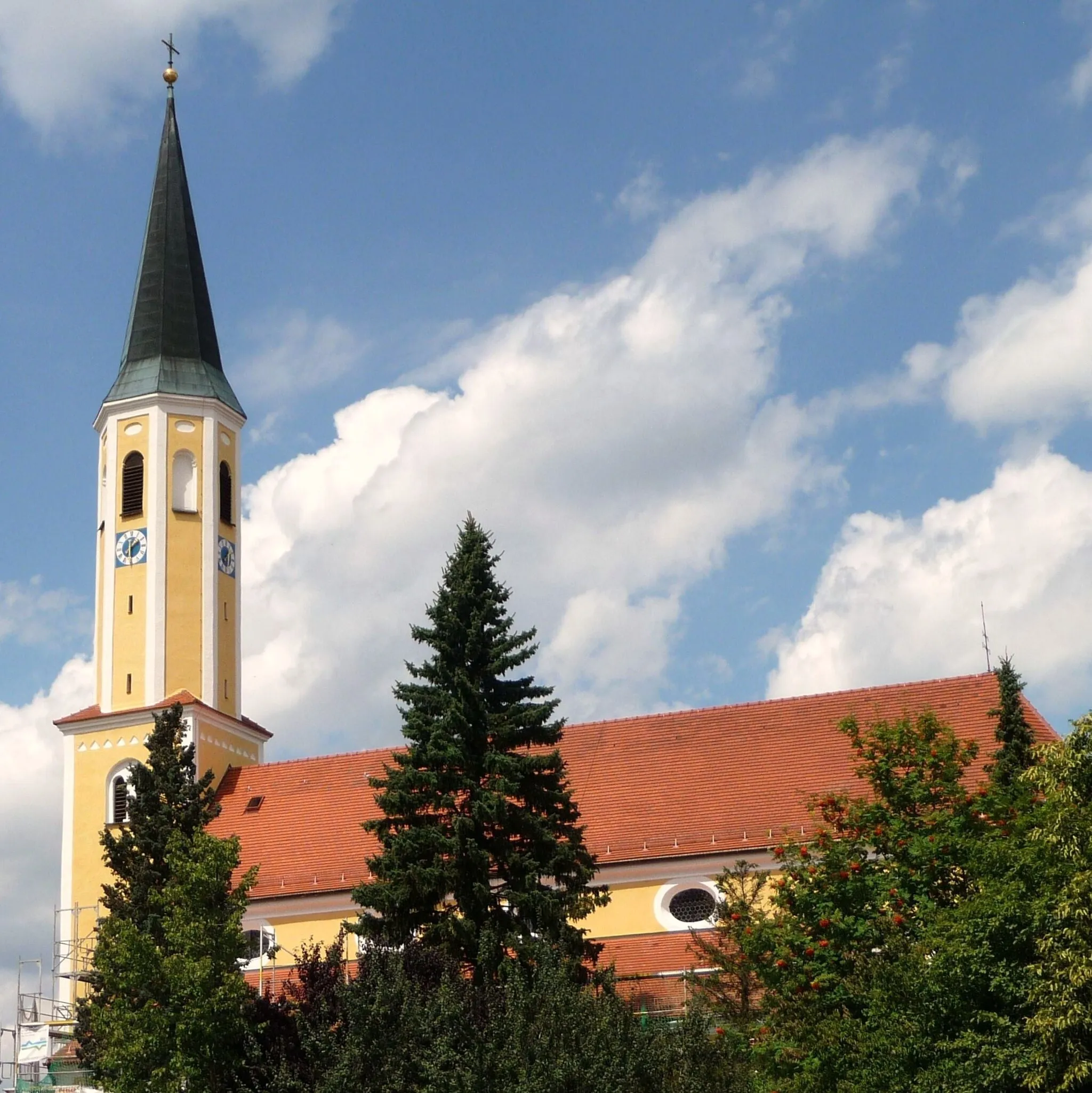
Road Cycling through Laaber
Embark on a road cycling journey through the scenic Laaber region
Discover the beauty of the Laaber region with this 61-kilometer road cycling route. With a total ascent of 565 meters, this route offers a mix of gentle slopes and challenging sections. Highlights along the way include Galgenberg, Rottenburg an der Laaber, Iffelkofen, and Artlkofen. Suitable for experienced road cyclists, this route provides an opportunity to explore picturesque towns and enjoy the thrill of exhilarating descents.
Embark on a thrilling gravel adventure in the rustic landscapes near Ergolding
If you're looking for an off-road challenge, the Gravel Adventure in Ergolding is the perfect choice. This 69-kilometer route takes you through rugged terrain and offers a total ascent of 451 meters. Get ready to traverse gravel paths, wooded trails, and open fields as you soak in the raw beauty of the Niederbayern countryside. This route is recommended for experienced gravel cyclists who have good bike-handling skills.
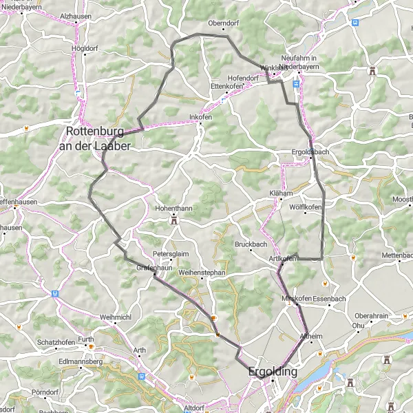
Explore the rural gravel paths near Ergolding
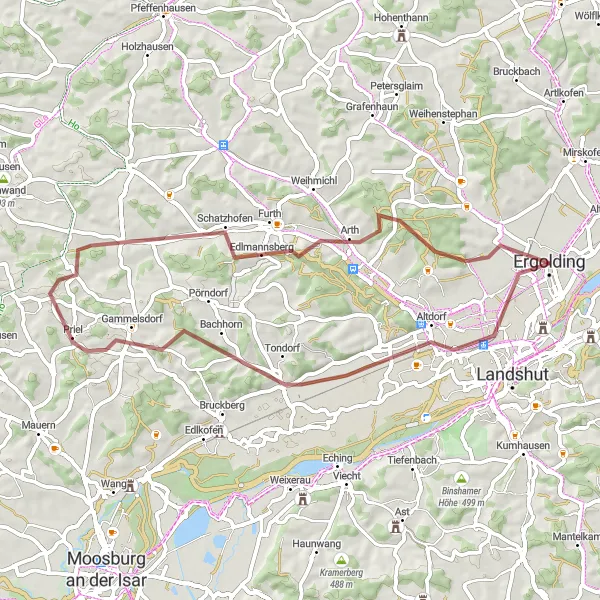
Embark on a 51-kilometer gravel cycling adventure through the rural paths near Ergolding. With a total ascent of 453 meters, this route offers moderate challenges while showcasing the rustic charm of the region. Highlights along the way include Ergolding, Riederberg, Gammelsdorf, Obermünchen, Gstaudach, and Galgenberg. Suitable for intermediate-level gravel riders, this route promises an enjoyable exploration of the picturesque countryside.
Gravel Adventure in Niederbayern
Embark on a thrilling gravel adventure through the scenic landscapes of Niederbayern.
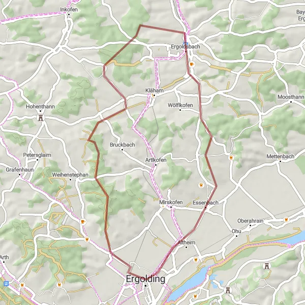
This gravel route covers a distance of 38 km with an ascent of 462 meters, offering a challenging but rewarding cycling experience. Starting in Ergolding, you'll ride through Galgenberg and Prinkofen, experiencing the rugged beauty of the region. Highlights include the Galgenberg viewpoint, which provides panoramic views over the rolling hills, and a scenic area near Prinkofen that offers a peaceful retreat. With its mix of gravel paths and quiet country roads, this route is perfect for off-road enthusiasts looking to explore the natural beauty of Niederbayern.
Cycling routes nearby:


Nearby regions: