Laberweinting Road Trail
A road cycling route starting from Ergolding
Challenge yourself on the Laberweinting road trail through picturesque landscapes
Map
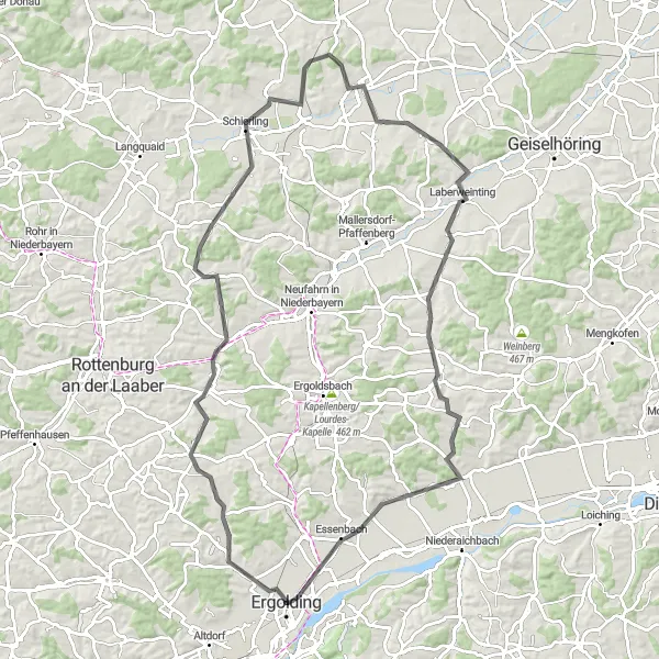
The Laberweinting Road Trail is a 94-kilometer route that takes you through some of the most stunning landscapes near Ergolding. With an ascent of 593 meters, this road adventure is recommended for well-trained amateur cyclists who are up for a challenge. As you pedal along the route, you'll be rewarded with sweeping views of the rolling Bavarian countryside and have the chance to explore historic towns along the way.
road
94 km
593 m
Tough
Route profile
Highlights on the route
0 km
0 km
Start: Ergolding City centerErgolding: Calm and gentle cycling in Ergolding.
Ergolding is a municipality located in Niederbayern, Germany. While it is not particularly known for its cycling opportunities, Ergolding offers some enjoyable routes for road and gravel cyclists. The terrain is mostly flat with gentle rolling hills, making it suitable for cyclists of varying skill levels. Although there are no famous cycling-related spots or well-known climbs directly nearby, the rural roads and paths provide scenic routes for cycling enthusiasts. Ergolding itself does not have specific cycling infrastructure or dedicated tourism facilities for cyclists, but it can be a quiet and calm starting point for exploring the surrounding countryside by bike.0 km
0 km
ErgoldingTownStart your road trail in the charming town of Ergolding.
3 km
3 km
Galgenberg444 mPeakConquer the Galgenberg, a hill that offers breathtaking panoramic views of the surrounding countryside.
12 km
12 km
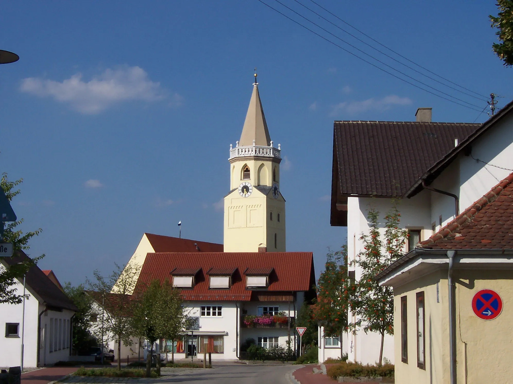
HohenthannVillagePedal through Hohenthann, a traditional Bavarian village with charming architecture and rich history.
36 km
36 km
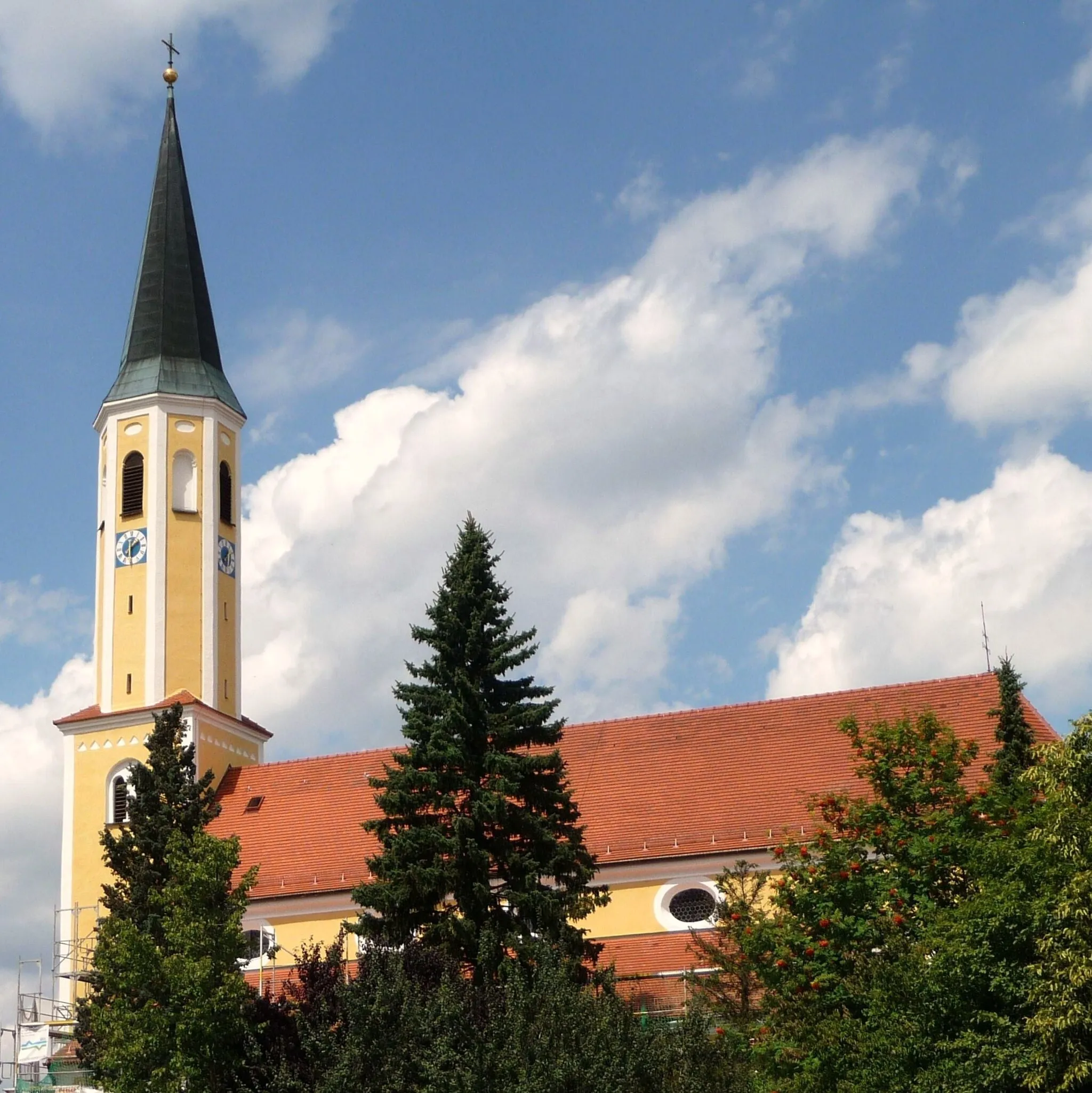
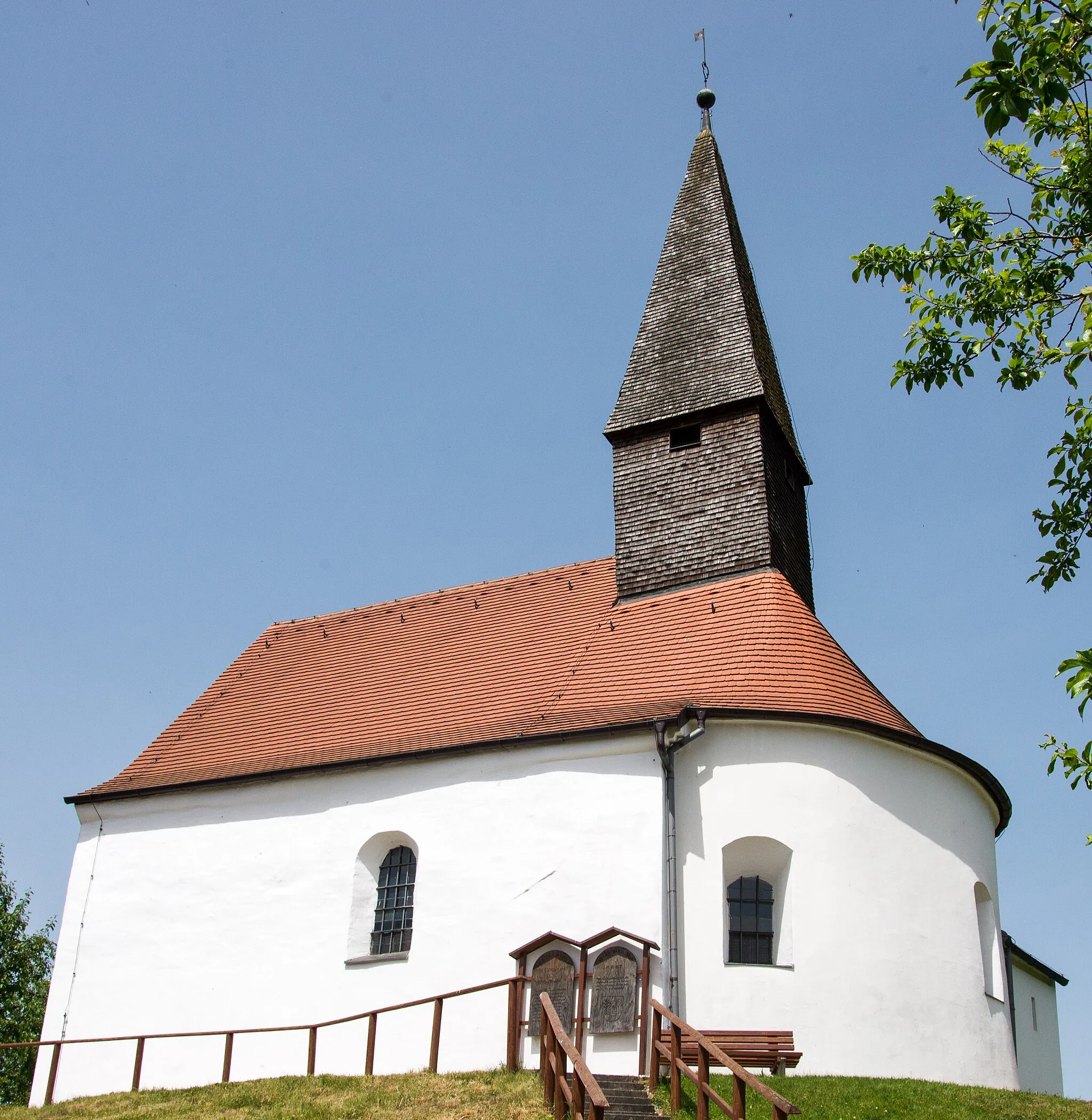
SchierlingVillageTake a break in Schierling, a picturesque town known for its quaint streets and beautiful churches.
60 km
60 km
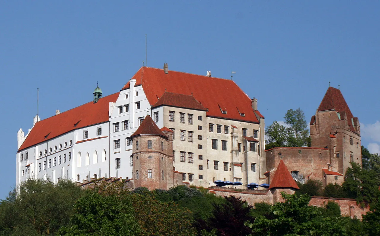
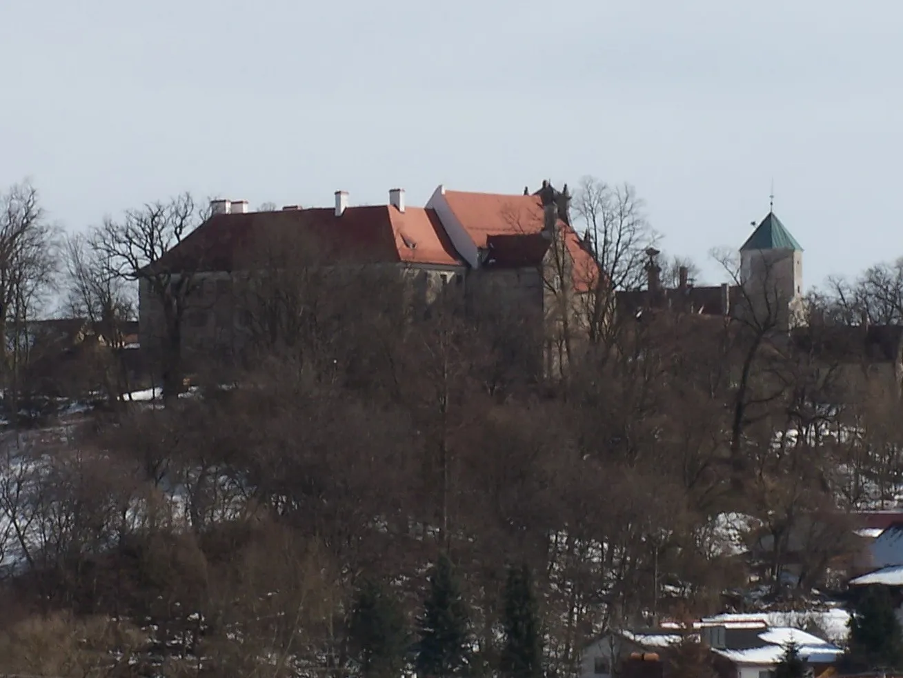
LaberweintingVillageDiscover Laberweinting, a historic town with fascinating landmarks, including the impressive Laberweinting Castle.
75 km
75 km
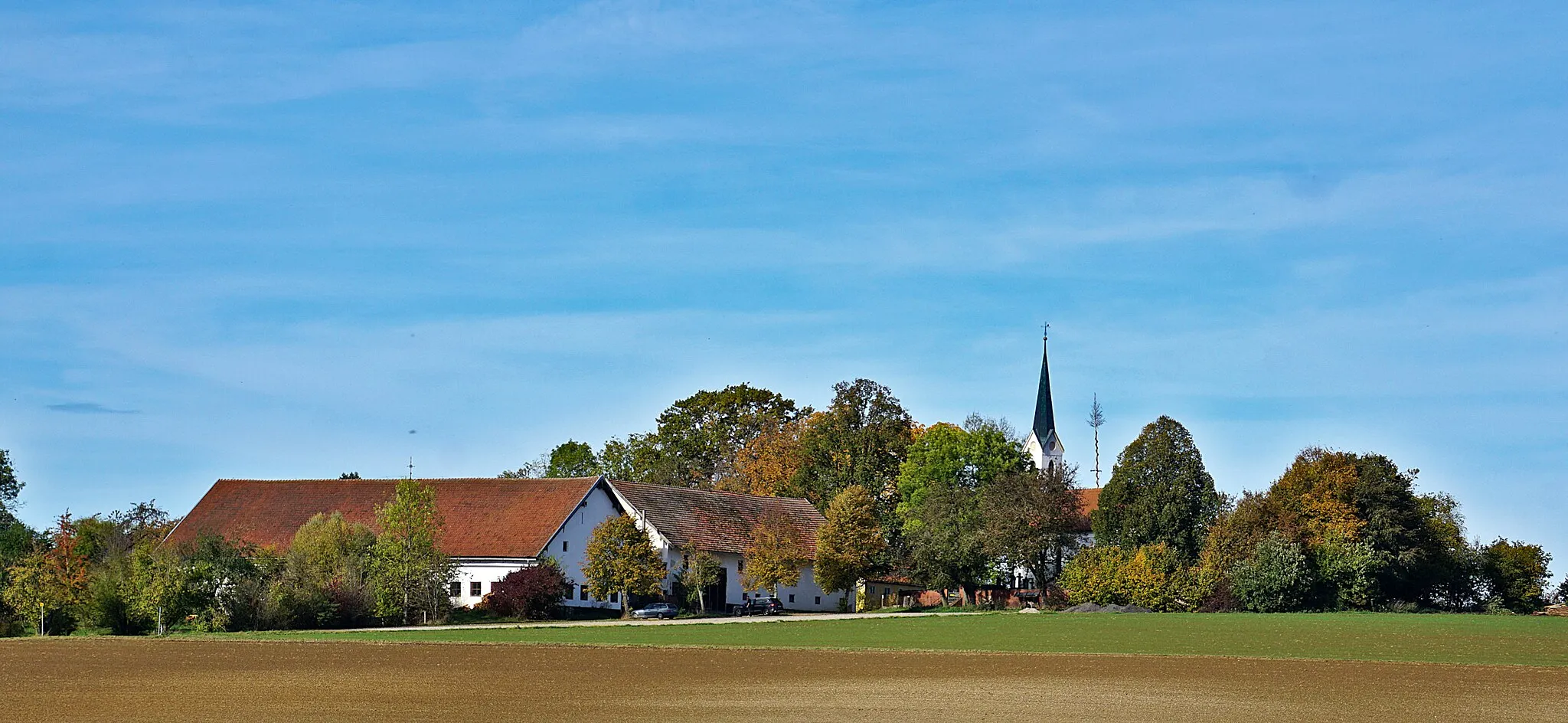
OberköllnbachVillageOberköllnbach is a small village surrounded by scenic landscapes, offering a peaceful and idyllic cycling experience.
88 km
88 km
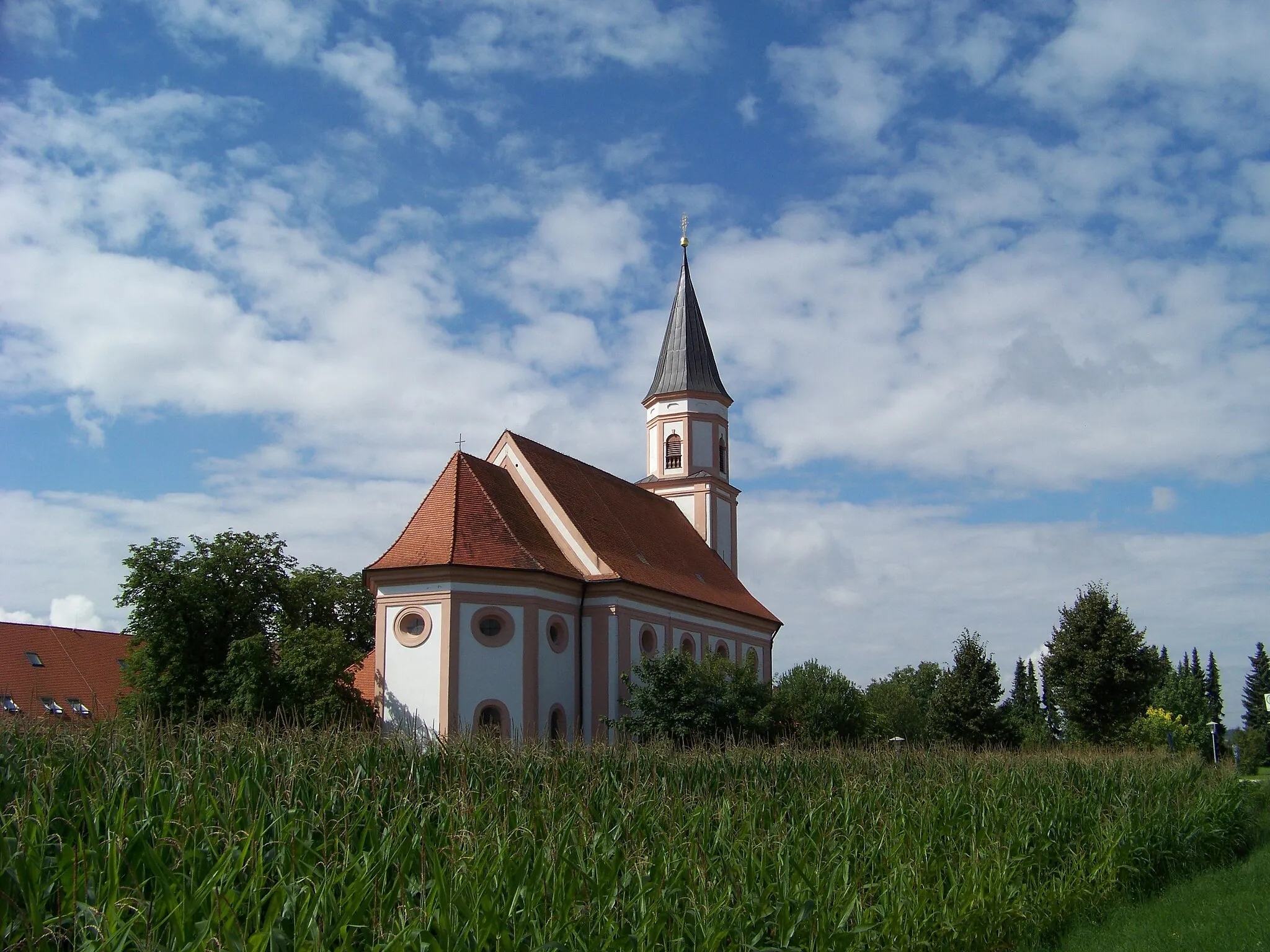
EssenbachVillageVisit Essenbach, a charming town with well-preserved historical buildings and a vibrant cultural scene.
94 km
94 km
Finish: Ergolding City centerErgolding: Calm and gentle cycling in Ergolding.
Cycling routes from Ergolding:
Cycling routes nearby: