Gravel Adventure in Ergolding
A gravel cycling route starting from Ergolding
Embark on a thrilling gravel adventure in the rustic landscapes near Ergolding
Map
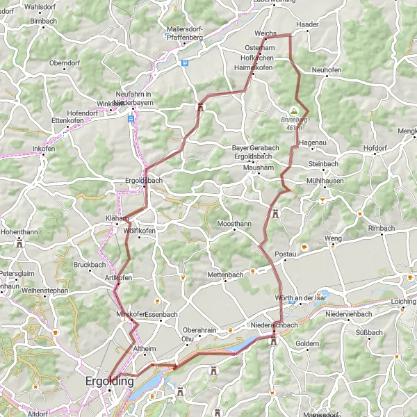
If you're looking for an off-road challenge, the Gravel Adventure in Ergolding is the perfect choice. This 69-kilometer route takes you through rugged terrain and offers a total ascent of 451 meters. Get ready to traverse gravel paths, wooded trails, and open fields as you soak in the raw beauty of the Niederbayern countryside. This route is recommended for experienced gravel cyclists who have good bike-handling skills.
gravel
69 km
451 m
Tough
Route profile
Highlights on the route
0 km
0 km
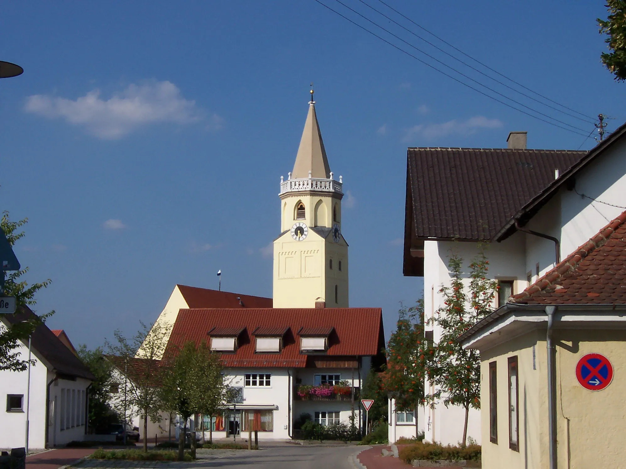
Start: Ergolding City centerErgolding: Calm and gentle cycling in Ergolding.
Ergolding is a municipality located in Niederbayern, Germany. While it is not particularly known for its cycling opportunities, Ergolding offers some enjoyable routes for road and gravel cyclists. The terrain is mostly flat with gentle rolling hills, making it suitable for cyclists of varying skill levels. Although there are no famous cycling-related spots or well-known climbs directly nearby, the rural roads and paths provide scenic routes for cycling enthusiasts. Ergolding itself does not have specific cycling infrastructure or dedicated tourism facilities for cyclists, but it can be a quiet and calm starting point for exploring the surrounding countryside by bike.0 km
0 km
ErgoldingTownStart your gravel adventure in the charming town of Ergolding.
16 km
16 km
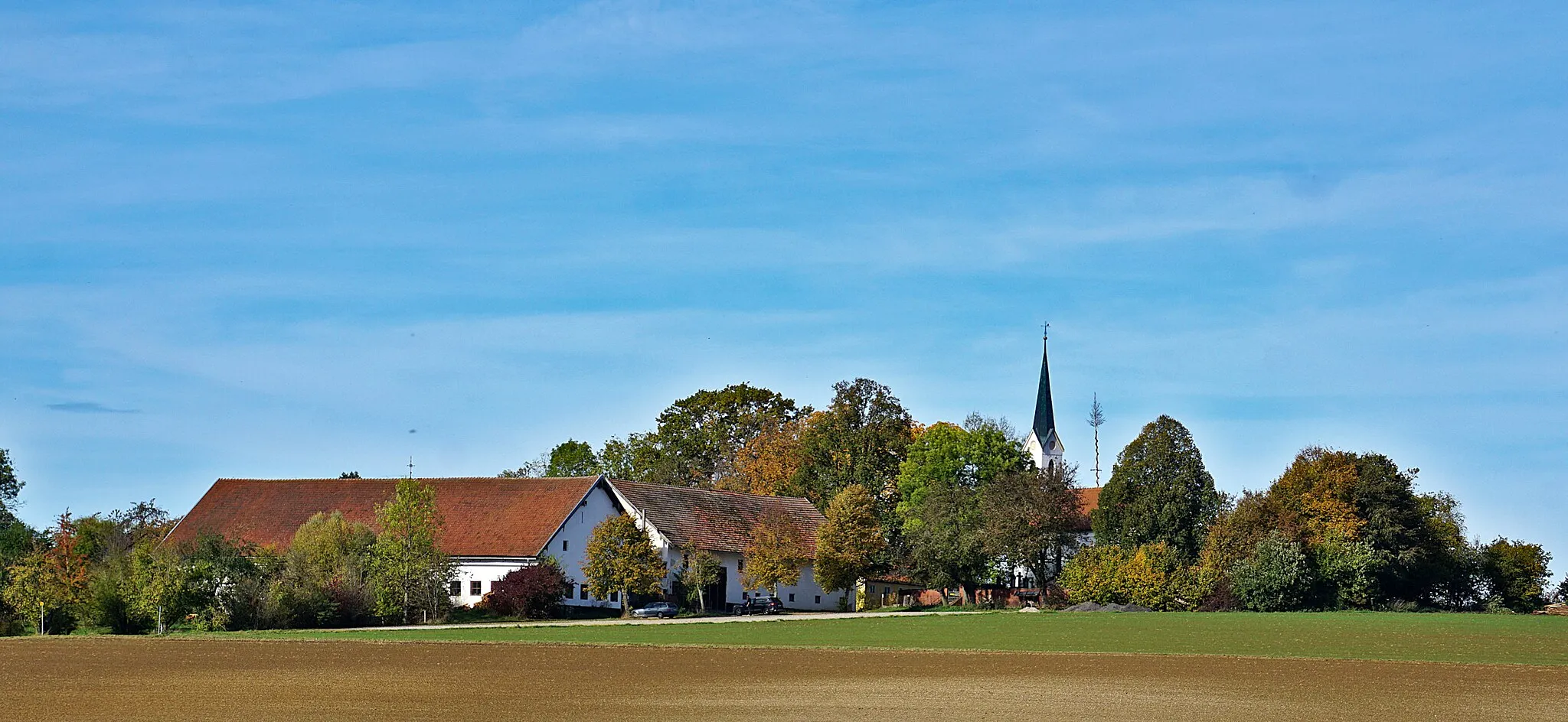
ErgoldsbachVillageExperience the rugged beauty of Ergoldsbach, a small village surrounded by rolling hills.
16 km
16 km
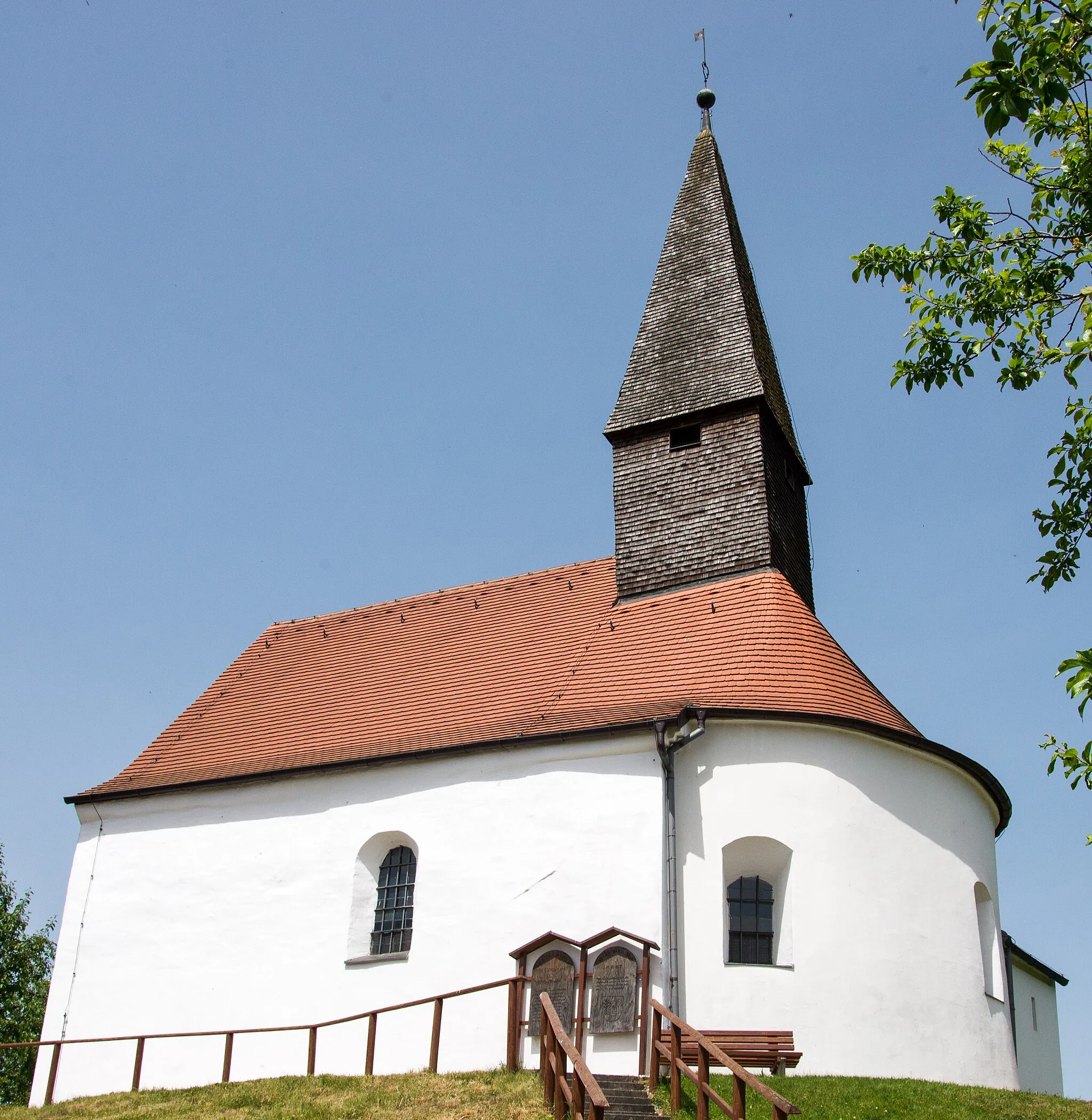
Kapellenberg/Lourdes-Kapelle462 mPeakStop by the Kapellenberg/Lourdes-Kapelle, a hilltop chapel offering stunning views of the surrounding landscapes.
28 km
28 km
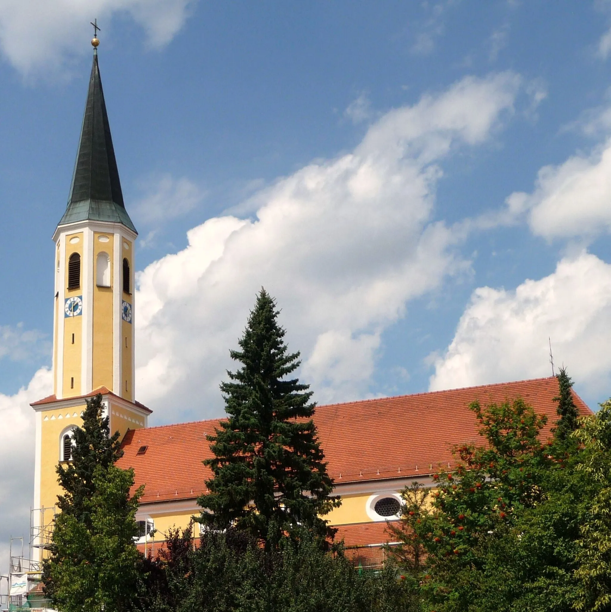
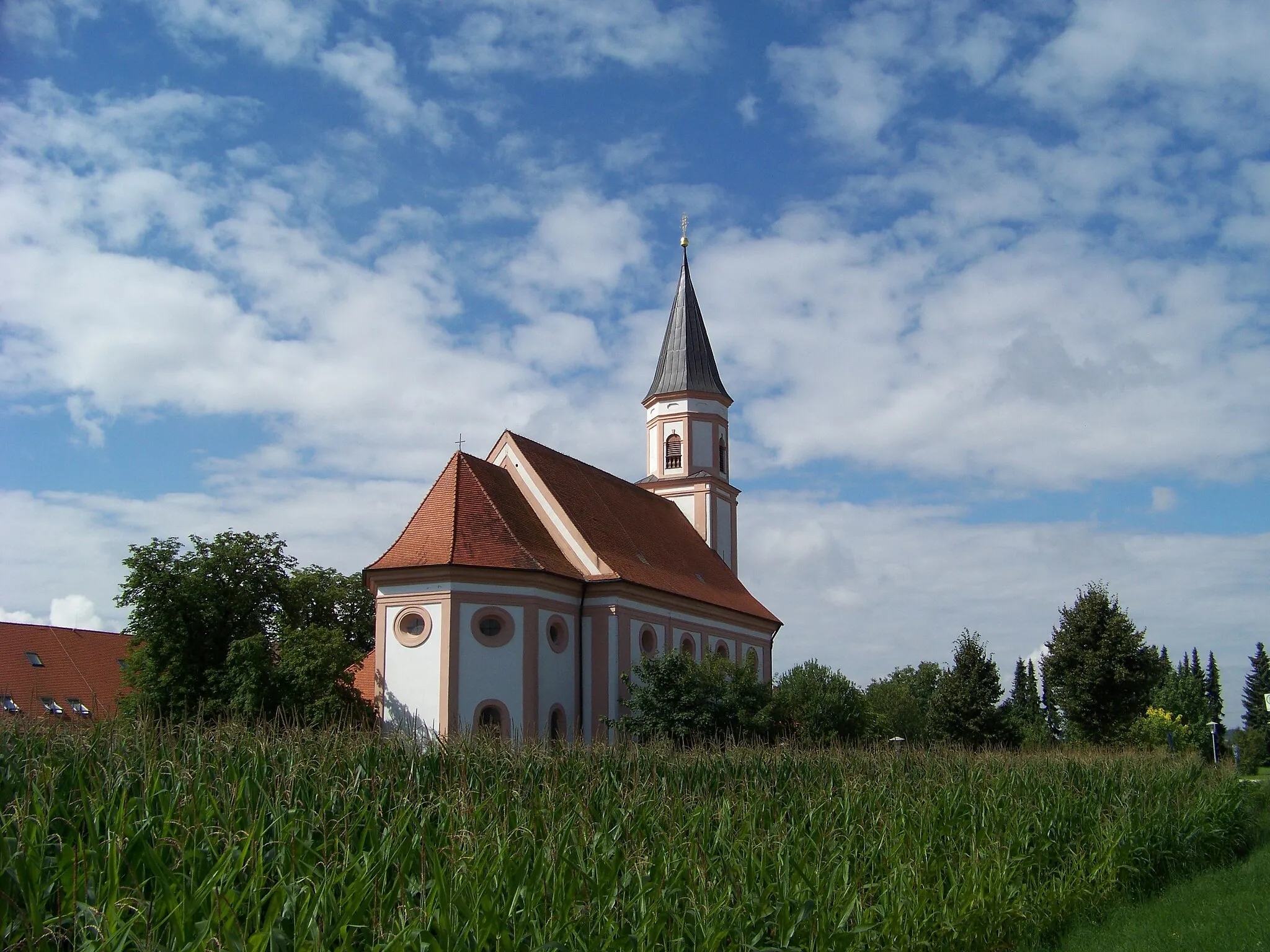
HofkirchenVillagePass through Hofkirchen, a postcard-worthy Bavarian village with traditional architecture.
37 km
37 km
Brunnberg461 mPeakDiscover Brunnberg, a hidden gem known for its scenic trails and peaceful ambiance.
40 km
40 km
GinhartHamletGinhart is a small village tucked away in the countryside, offering tranquility and stunning natural surroundings.
55 km
55 km
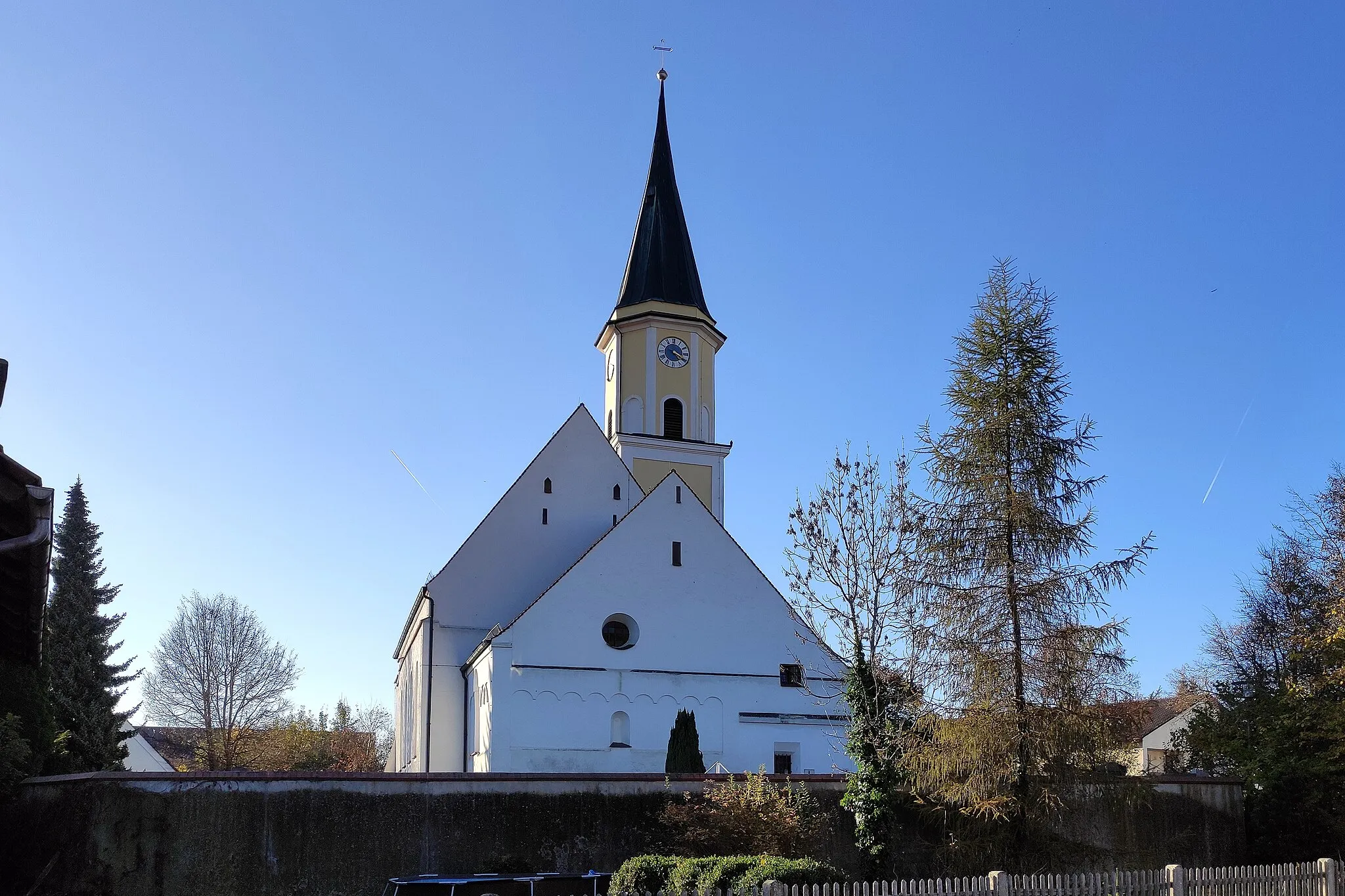
NiederaichbachVillageNiederaichbach awaits with its breathtaking views and captivating landscape.
57 km
57 km
Hohe BürgViewpointConquer the challenging trails of Hohe Bürg, a hill offering exhilarating downhill sections.
66 km
66 km
AltheimVillageAltheim is a serene village surrounded by lush green meadows and picturesque countryside.
69 km
69 km
Finish: Ergolding City centerErgolding: Calm and gentle cycling in Ergolding.
Cycling routes from Ergolding:
Cycling routes nearby: