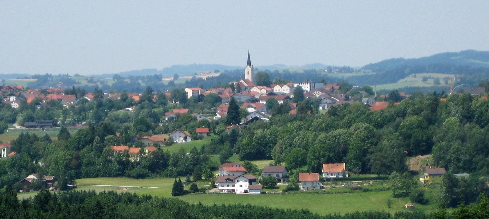
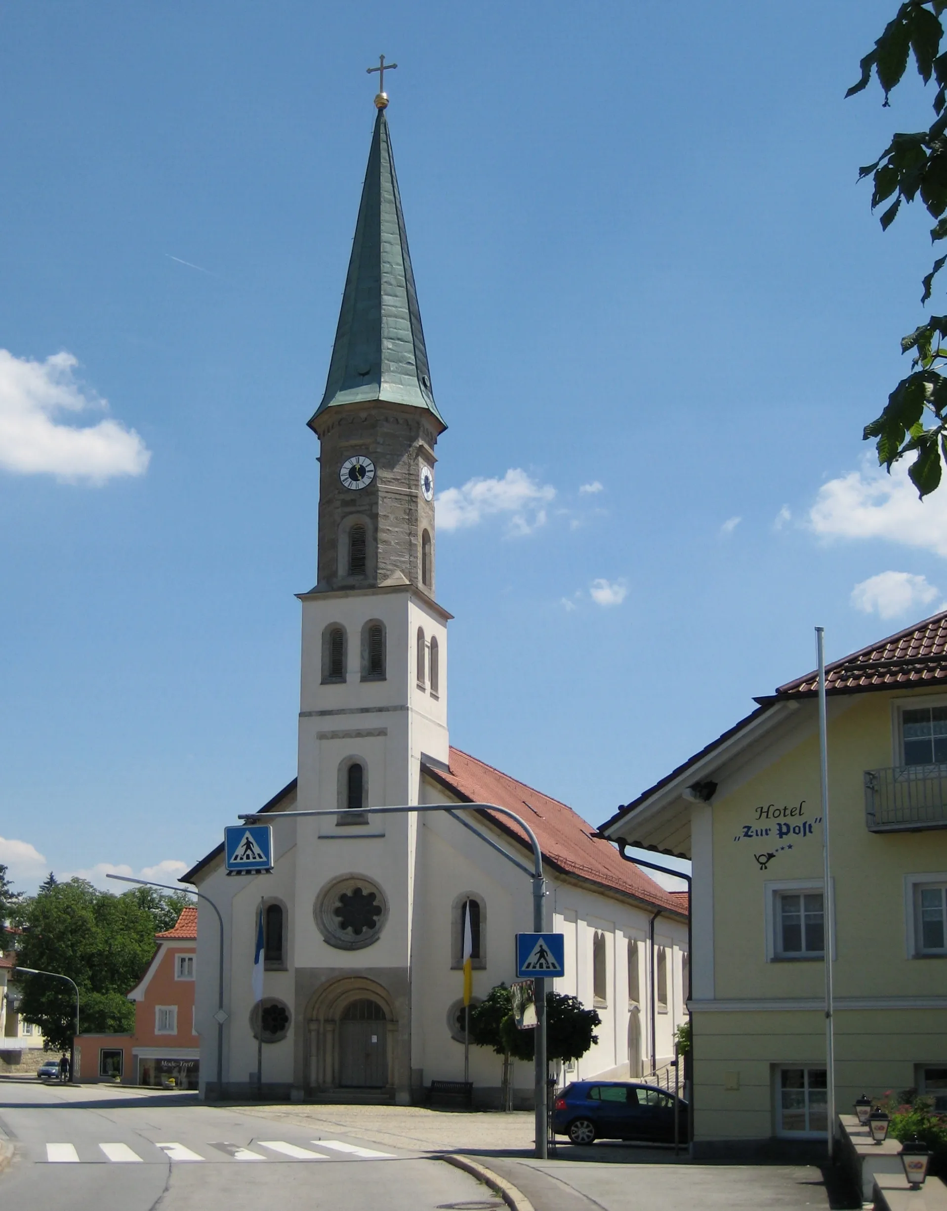
Tranquil rides through the scenic landscapes of Hutthurm
Cycling routes from Hutthurm
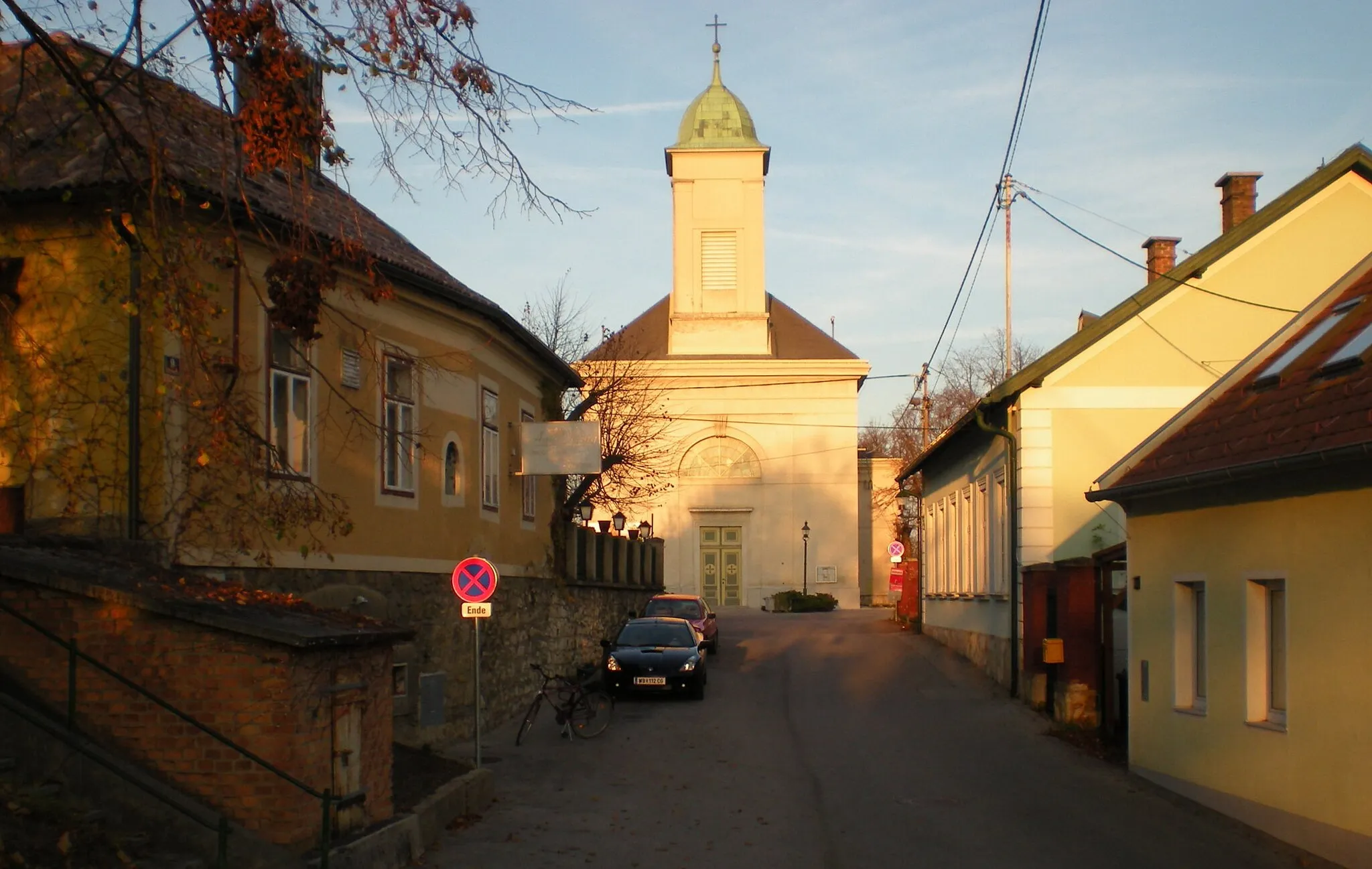
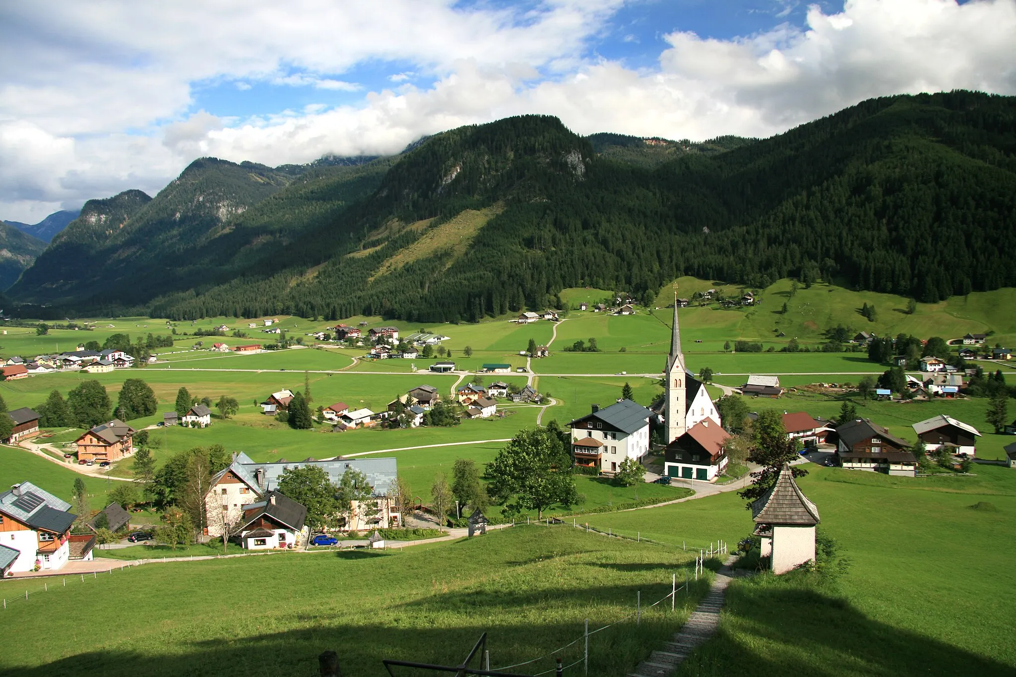
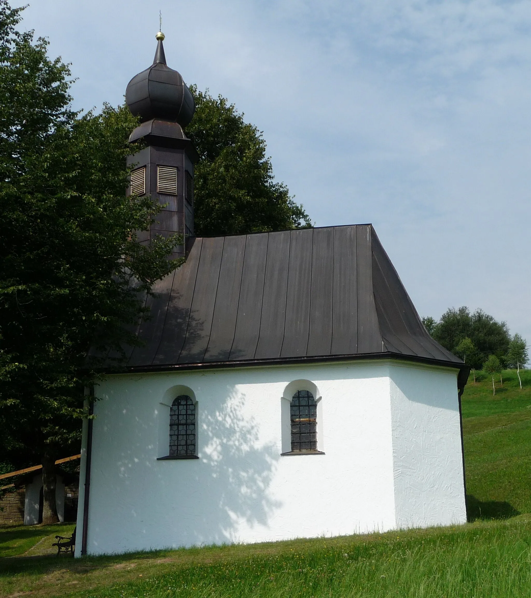
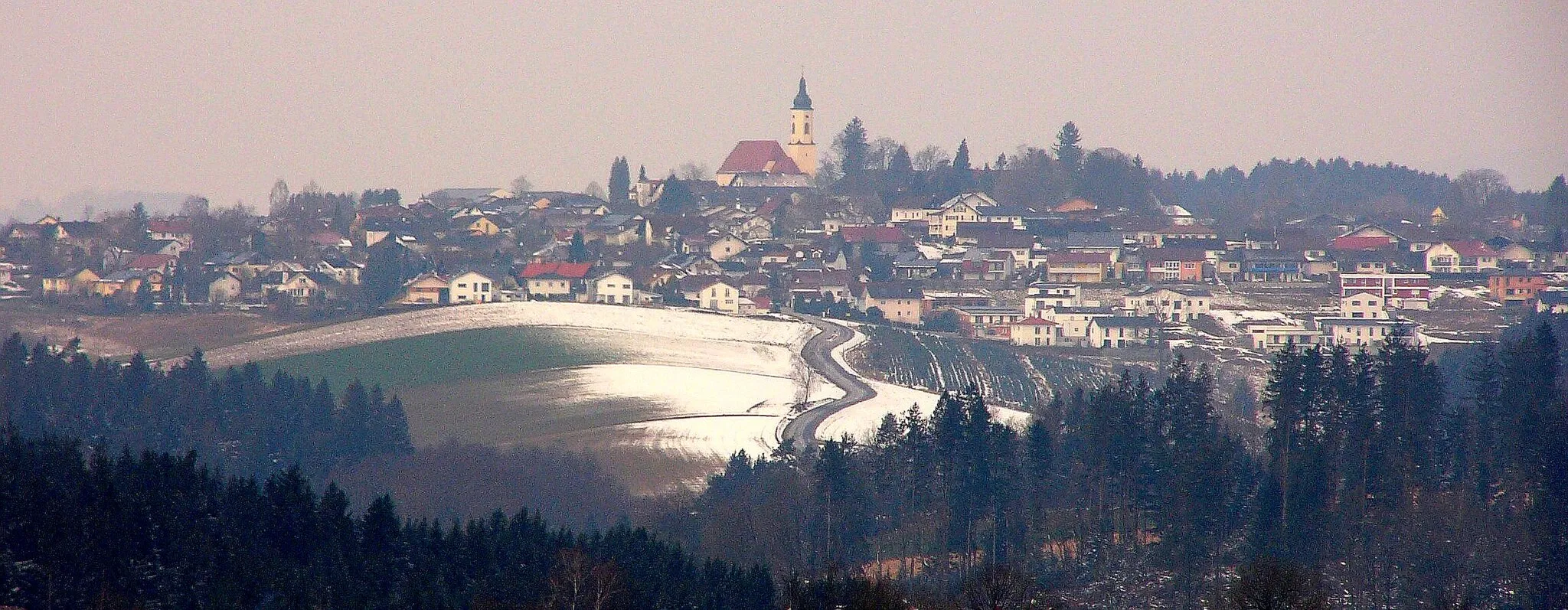
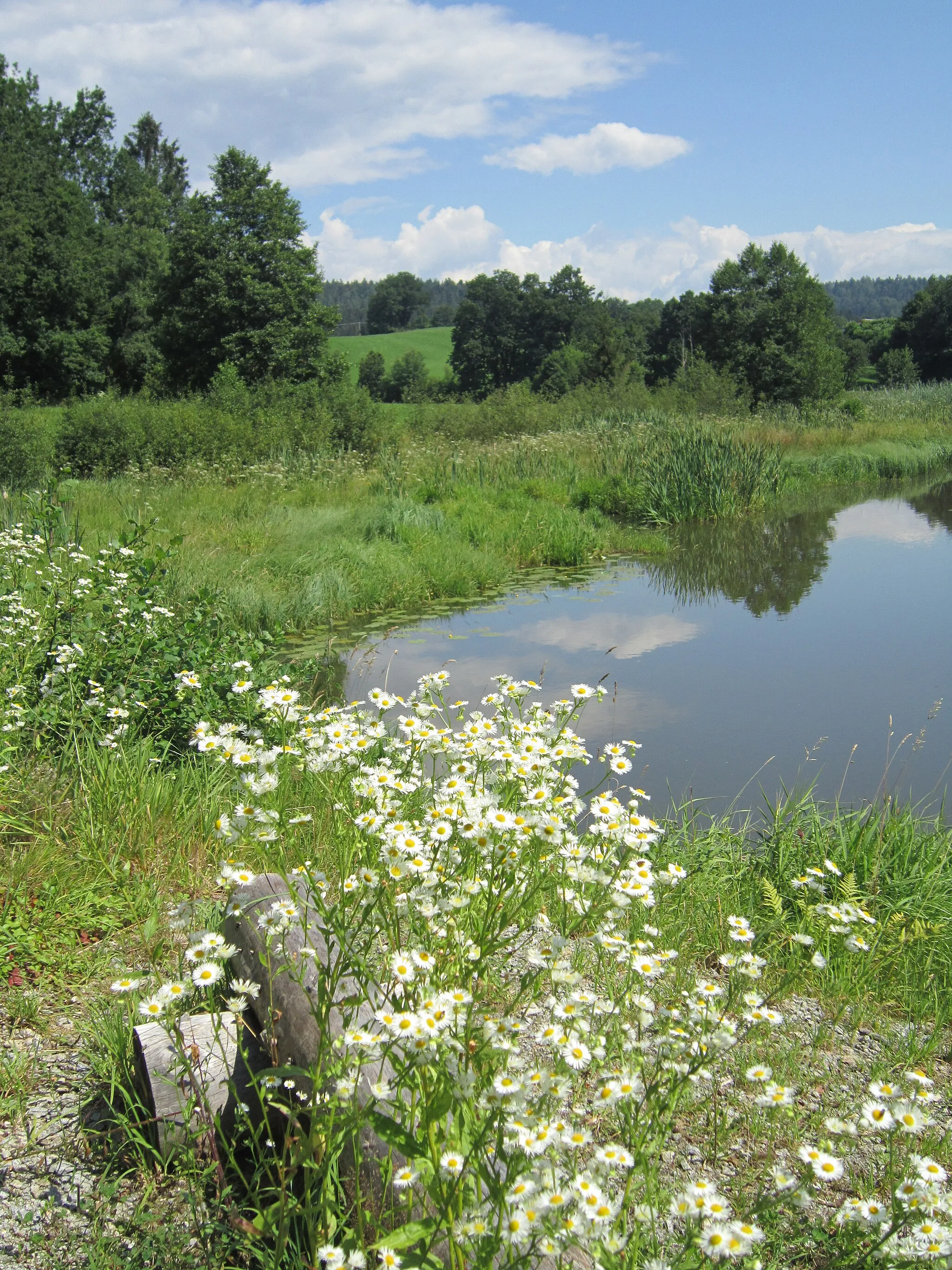
Hutthurm is a small town located in the Niederbayern region of Germany. Cyclists will find Hutthurm to be a charming and peaceful locale for their rides. The area offers a mix of gently rolling terrain and flat roads suitable for both road and gravel cycling. Hutthurm is also near the Bavarian Forest, a popular cycling spot that offers stunning scenery and beautiful forests. For those looking for a challenge, the nearby Osser Mountain provides a thrilling climb. Overall, Hutthurm provides a tranquil and picturesque setting for cyclists to explore.
Nature's Beauty in Hutthurm
Discover the hidden gems of Hutthurm and its surrounding natural landscapes
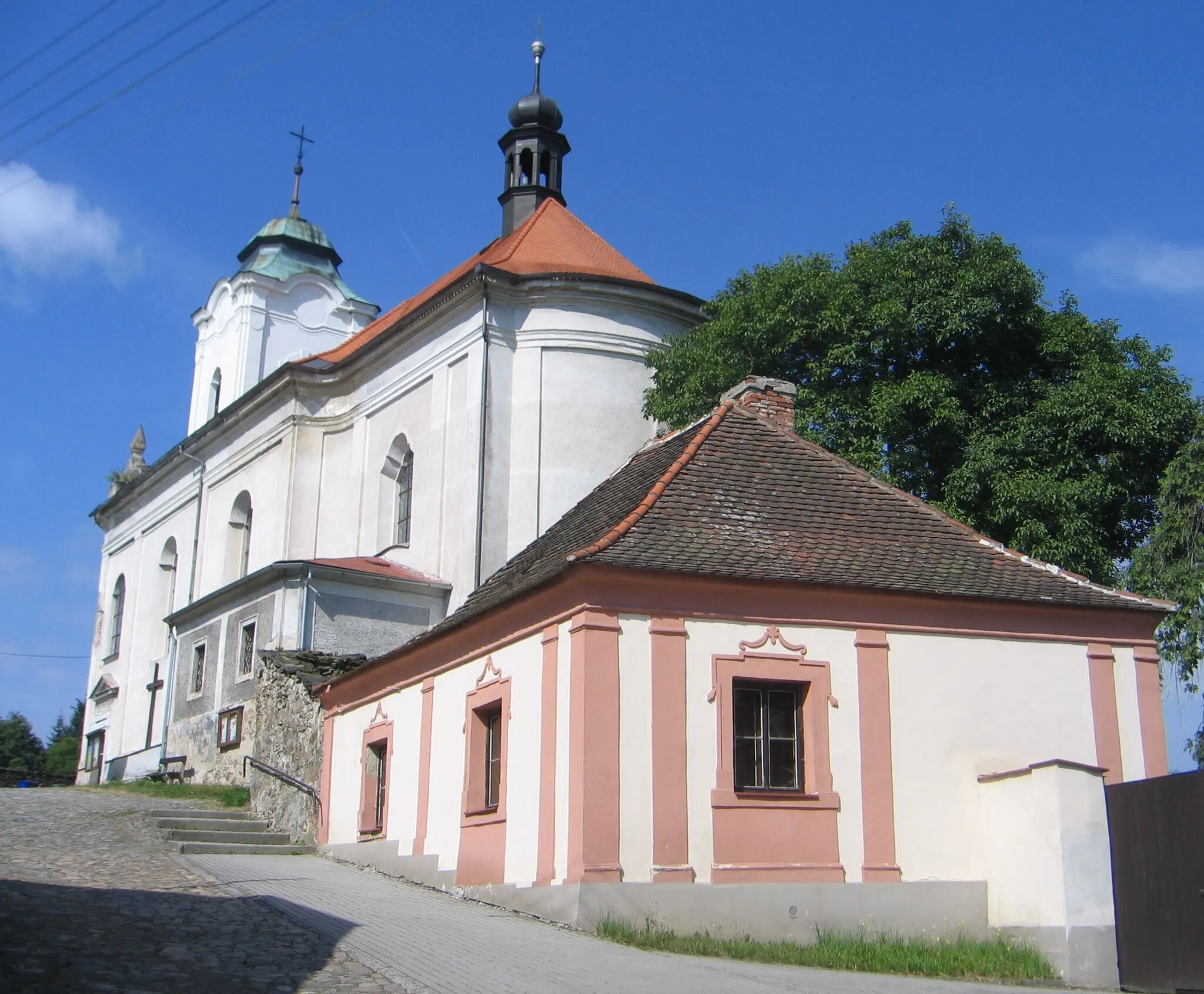
Embark on a picturesque road cycling route that explores the natural beauty of Hutthurm and its surroundings. With a challenging total ascent of 1016 meters over a distance of 49 kilometers, this route is specially designed for nature enthusiasts seeking adventure and tranquility. Enjoy the serene beauty of Hutthurm itself, followed by enchanting views at Aicha vorm Wald and Eging am See. Blümersberg and Kalteneck also offer picturesque spots to pause and admire the magnificent landscapes.
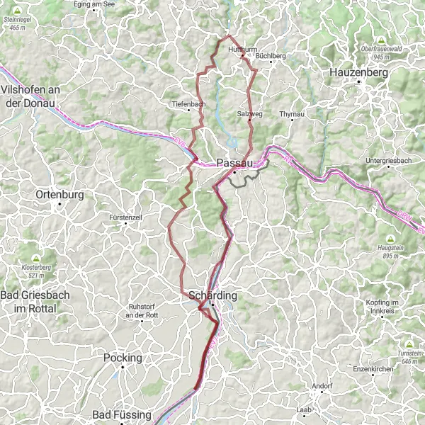
Embark on an off-road cycling adventure through Niederbayern's scenic wilderness
Calling all gravel cyclists! Get ready for an adrenaline-pumping adventure through Niederbayern's rugged terrain and untamed wilderness. With a challenging ascent of 1133 meters over a distance of 91 kilometers, this gravel route promises excitement and unparalleled natural beauty. Discover hidden gems such as the Wetterpilz, Passau, Aussichtspunkt Söller, Neuhaus am Inn, Sulzbach, Neukirchen am Inn, and Ruderting, each offering unique views and experiences that showcase the region's wild side.
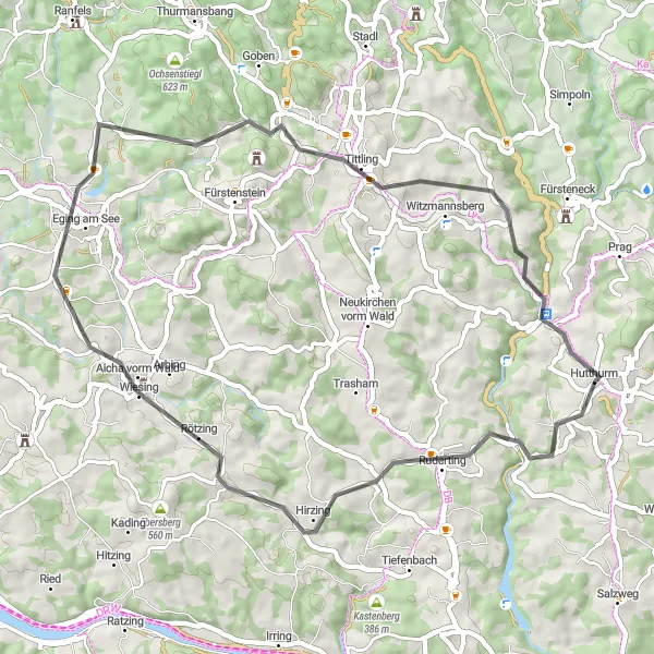
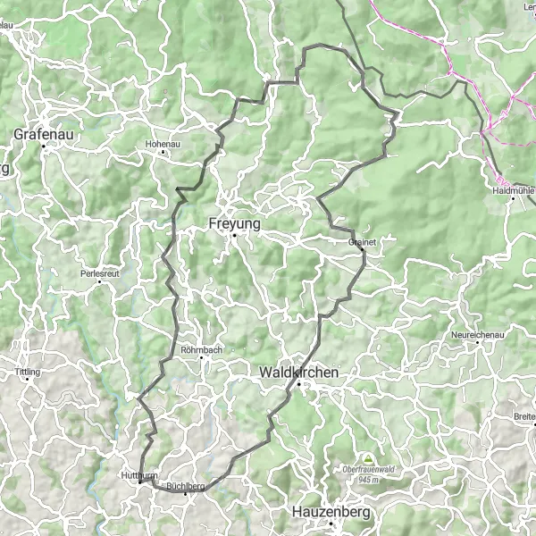
Gravel Adventure to Fürsteneck
Embark on a gravel adventure featuring the beautiful landscape of Fürsteneck.
This picturesque gravel route takes you through scenic landscapes and charming Bavarian villages. With a total ascent of 1456 meters over a distance of 66 kilometers, this route is suitable for intermediate cyclists. Highlights along the way include the historic town of Fürsteneck, the idyllic Ringelai, and the scenic beauty of Hohenau. Immerse yourself in nature as you explore the stunning region of Hinterschmiding and enjoy panoramic views from the summit of Sicklinger Berg.

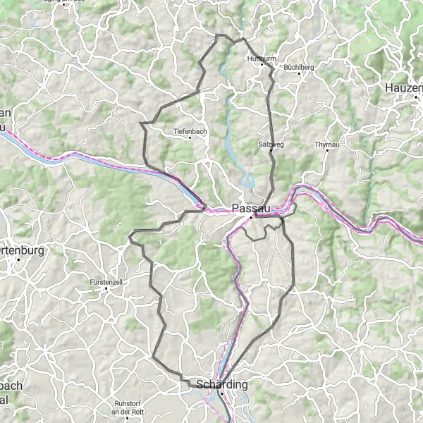
Embark on a thrilling road adventure and discover the hidden gems of Niederbayern.
This road route takes you on an exciting journey through the idyllic countryside of Niederbayern. With a total ascent of 1523 meters over a distance of 74 kilometers, this route is recommended for experienced cyclists. Highlights along the way include the captivating village of Außernbrünst, the charming Steinberg, and the impressive Staffelberg. Immerse yourself in history as you visit the majestic Schloss Obernzell and cycle through the scenic landscapes of Salzweg. Conclude your adventure back in Hutthurm, a peaceful town ready to welcome tired cyclists.
Experience the panoramic views from Hoher Stein to Alzenberg
This round-trip cycling route starting near Hutthurm takes you on a picturesque journey through Niederbayern. With a total distance of 84 kilometers and an ascent of 1,814 meters, this route is suitable for well-trained amateurs. Explore the beautiful landscapes and charming villages along the way, making it an overall enjoyable experience. The epicness rating for this route is 4, as it offers stunning panoramic views and some challenging climbs. Cycling enthusiasts will appreciate the variety of highlights along the route.
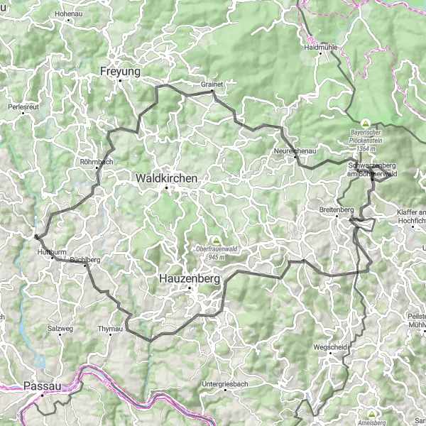
Embark on an epic journey through the challenging hills of Niederbayern
Prepare yourself for the ultimate challenge as you tackle the demanding hills of Niederbayern. This road cycling route spans 103 kilometers, involving a grueling ascent of 2091 meters. Experience breathtaking viewpoints along the way, including Röhrnbach, Fuchsenstein, Altreichenau, Dachsberg, Schwarzenberg am Böhmerwald, Großer Rathberg, Krinning, Aussichtsturm Büchlberg, and Büchlberg. Conquering this route requires exceptional stamina and determination, but the sense of achievement and the remarkable vistas at each highlight will make your effort worthwhile.
Uncover the beauty and grandeur of Niederbayern's majestic landscapes
Embark on a road cycling adventure that takes you through some of Niederbayern's most majestic landscapes. This 80-kilometer route with a challenging ascent of 1283 meters offers a rewarding experience for cycling enthusiasts. Discover hidden highlights such as the Wetterpilz, Passau, Fronberg, Neuhaus am Inn, Ruderting, and Kalteneck. Each highlight showcases the region's natural beauty and invites you to appreciate the grandeur of Niederbayern's landscapes.
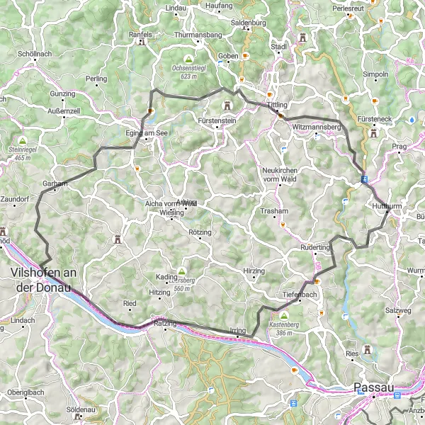
Discover the beauty of Kastenberg on this scenic road ride through Bavaria.
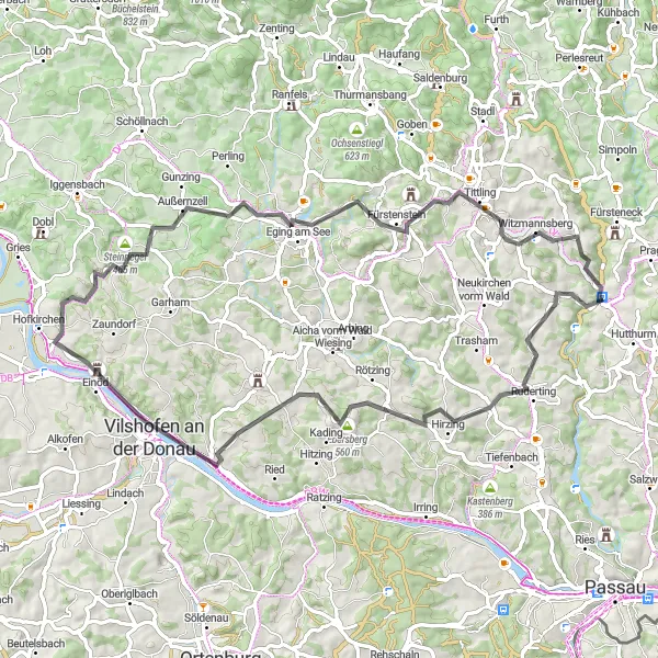
This road route takes you on a sightseeing adventure through the charming towns and scenic countryside of Niederbayern. With a total ascent of 1254 meters over a distance of 68 kilometers, this route is suitable for cyclists with some experience. Highlights along the way include the historic town of Kastenberg, the picturesque Erlenberg, and the beautiful Vilshofen an der Donau. Marvel at the stunning views from the viewpoint of Blümersberg, and end your ride in the tranquil town of Kalteneck.
An exhilarating ride through the picturesque countryside of Niederbayern
Embark on a scenic journey through the gently rolling hills of Niederbayern as you explore charming towns and historic landmarks along the way. With a total ascent of 1344 meters over a distance of 72 kilometers, this road cycling route offers a moderate challenge suitable for experienced cyclists. Marvel at the breathtaking views from Ruderting, Ebersberg, Windorf, Burgruine Hilgartsberg, Steinriegel, Priefinger Berg, Tittling, and Kalteneck, all worthy highlights that showcase the region's natural and architectural beauty.
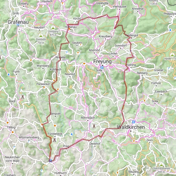
Gravel Loop to Büchlberg
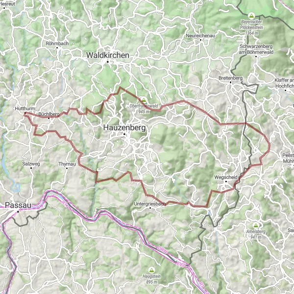
Explore the scenic countryside and experience thrilling gravel paths on this loop to Büchlberg.
This gravel route takes you on a picturesque journey through Bavaria with its rolling hills and charming villages. With a total ascent of 1613 meters over a distance of 84 kilometers, this adventure is perfect for intermediate cyclists. Along the way, you'll encounter highlights such as the historic town of Steinberg, the scenic viewpoint of Oberfrauenwald, and the serene beauty of Sonnen. Finish off your ride in the town of Hutthurm, where you can relax and recharge.
Cycling routes nearby:


Nearby regions: