Gravel Adventure: Exploring the Wilderness
A gravel cycling route starting from Hutthurm
Embark on an off-road cycling adventure through Niederbayern's scenic wilderness
Map
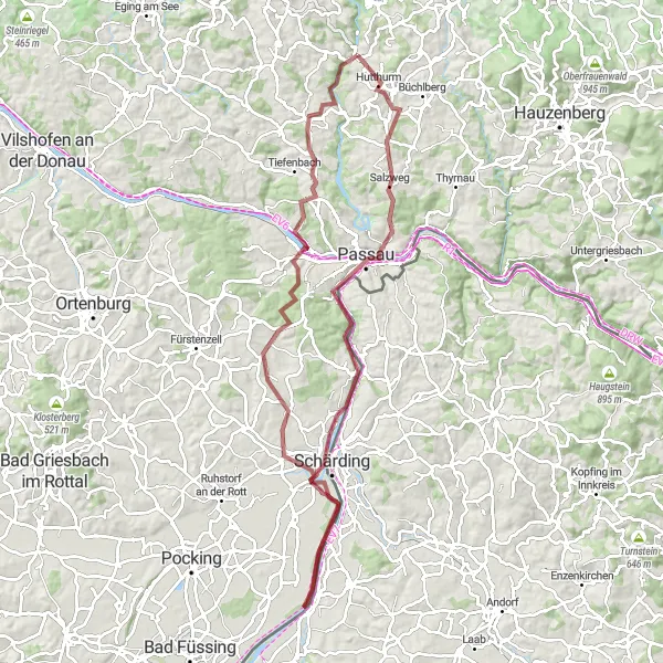
Calling all gravel cyclists! Get ready for an adrenaline-pumping adventure through Niederbayern's rugged terrain and untamed wilderness. With a challenging ascent of 1133 meters over a distance of 91 kilometers, this gravel route promises excitement and unparalleled natural beauty. Discover hidden gems such as the Wetterpilz, Passau, Aussichtspunkt Söller, Neuhaus am Inn, Sulzbach, Neukirchen am Inn, and Ruderting, each offering unique views and experiences that showcase the region's wild side.
gravel
91 km
1133 m
Tough
Route profile
Highlights on the route
0 km
0 km
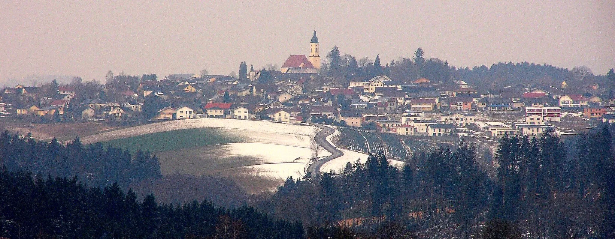
Start: Kalteneck Village centerHutthurm: Tranquil rides through the scenic landscapes of Hutthurm
Hutthurm is a small town located in the Niederbayern region of Germany. Cyclists will find Hutthurm to be a charming and peaceful locale for their rides. The area offers a mix of gently rolling terrain and flat roads suitable for both road and gravel cycling. Hutthurm is also near the Bavarian Forest, a popular cycling spot that offers stunning scenery and beautiful forests. For those looking for a challenge, the nearby Osser Mountain provides a thrilling climb. Overall, Hutthurm provides a tranquil and picturesque setting for cyclists to explore.15 km
15 km
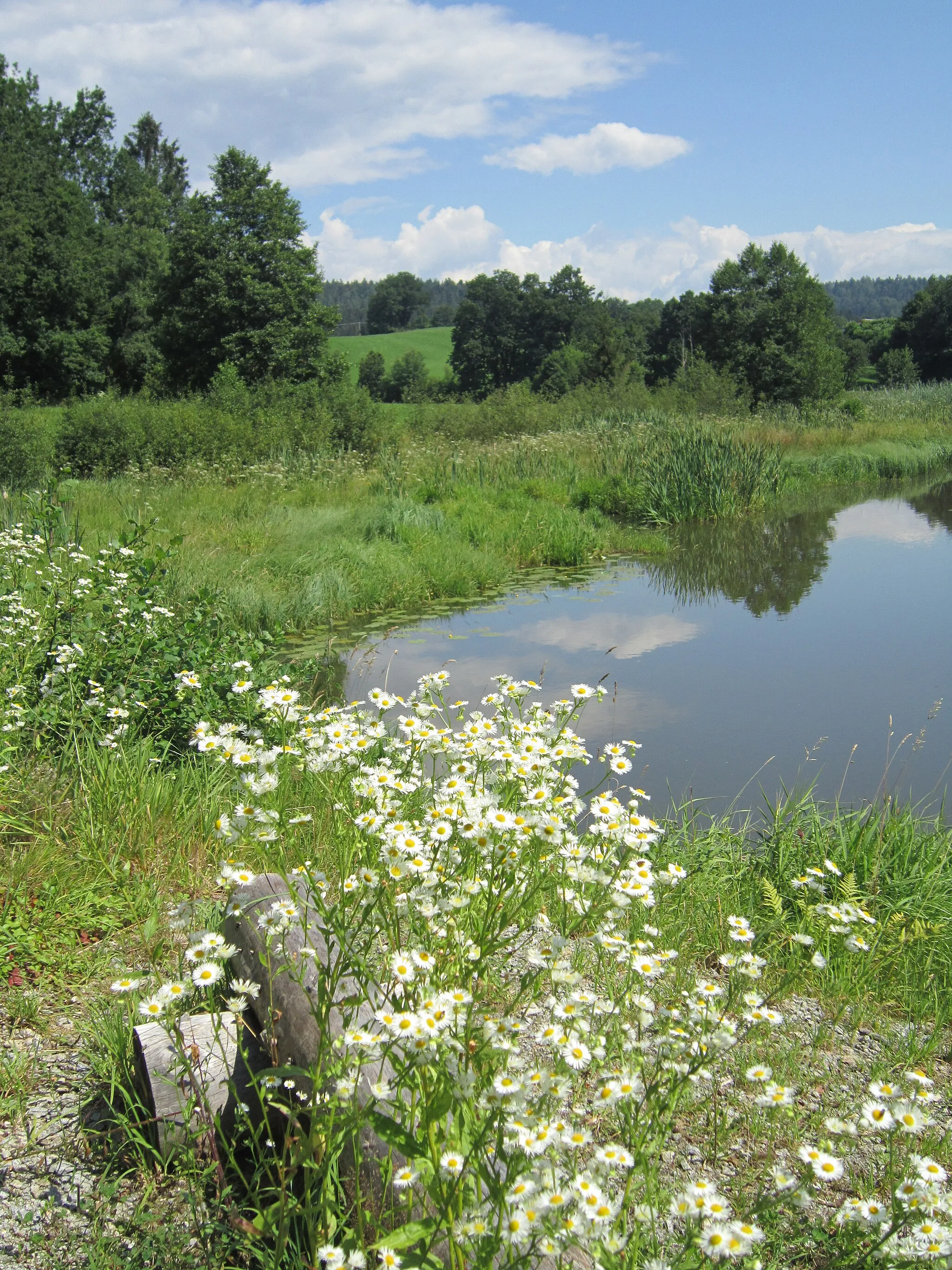
WetterpilzViewpointDiscover the unique Wetterpilz, a weather shelter located in a picturesque setting perfect for a quick rest and admiring the beautiful landscapes of Niederbayern.
16 km
16 km
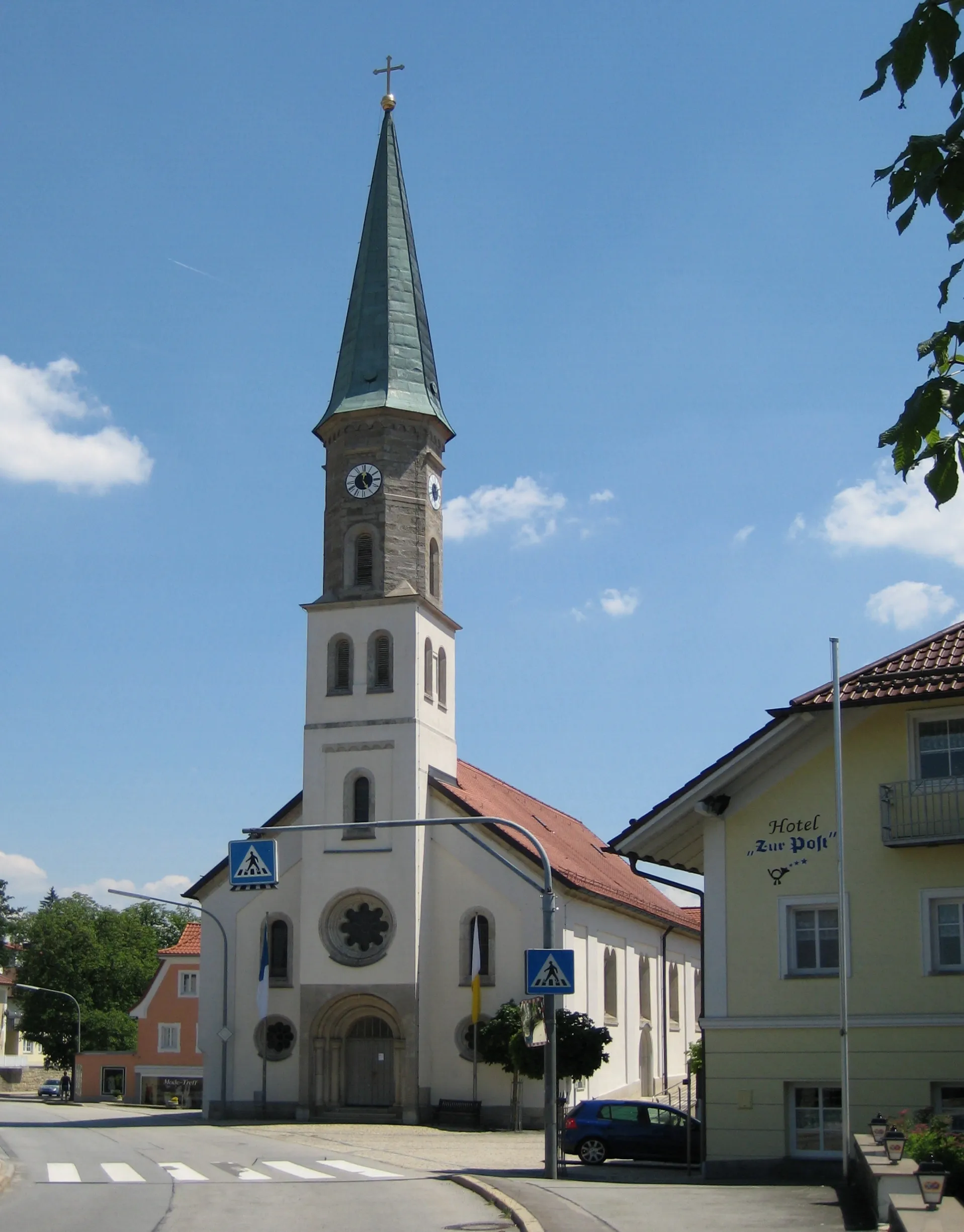
PassauTownPassau, known as the 'City of Three Rivers,' is a highlight that blends history, culture, and stunning landscapes, providing a memorable experience along the route.
26 km
26 km
Aussichtspunkt SöllerViewpointMarvel at the incredible views from the Aussichtspunkt Söller, a scenic viewpoint that offers breathtaking panoramas of the surrounding wilderness.
32 km
32 km
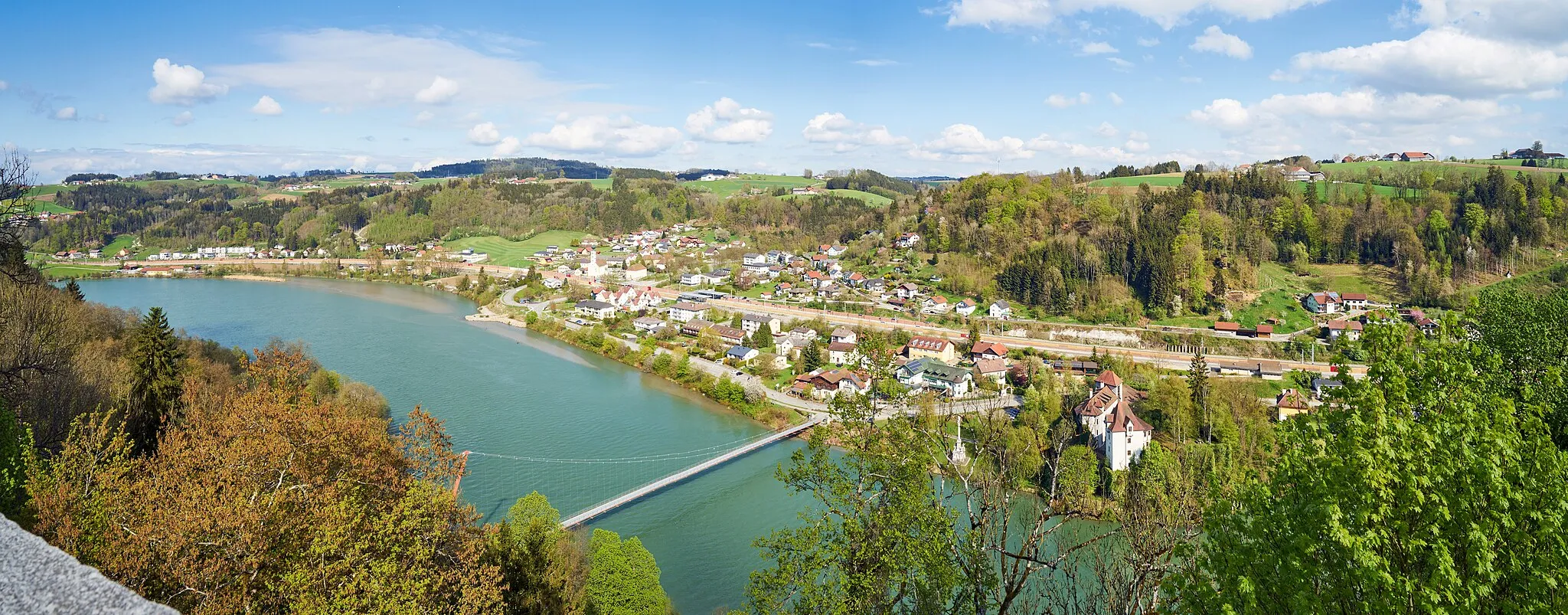
Neuhaus am InnVillageNeuhaus am Inn showcases the untamed beauty of the region with its expansive forests and picturesque landscapes, mesmerizing gravel cyclists with its peaceful charm.
56 km
56 km
SulzbachVillageSulzbach, an idyllic highlight on this route, offers a quiet retreat amidst nature, where cyclists can immerse themselves in the tranquility of Niederbayern's wilderness.
64 km
64 km
Neukirchen am InnVillageCycle through Neukirchen am Inn, a highlight surrounded by unspoiled beauty. Immerse yourself in the natural ambiance and enjoy the peacefulness of the surroundings.
84 km
84 km
RudertingVillageRuderting, a hidden gem along this gravel route, offers expansive views of untouched wilderness and invites cyclists to discover the region's lesser-known but equally captivating landscapes.
91 km
91 km
Finish: Kalteneck Village centerHutthurm: Tranquil rides through the scenic landscapes of Hutthurm
Cycling routes from Hutthurm:
The Rolling Hills of Niederbayern Nature's Beauty in Hutthurm A Journey Through Majestic Landscapes Gravel Adventure to Fürsteneck Conquering the Hills of Niederbayern Gravel Adventure: Exploring the Wilderness Bavarian Road Adventure to Außernbrünst Sightseeing Road Ride to Kastenberg Gravel Loop to Büchlberg Hoher Stein - Alzenberg Loop
Cycling routes nearby: