The Rottal Challenge
A gravel cycling route starting from Julbach
Conquer the Rottal Valley on this challenging gravel route.
Map
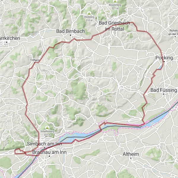
The Rottal Challenge is a demanding 98 km gravel cycling route starting near Julbach, offering a thrilling adventure for experienced riders. With a significant ascent of 849 meters, this route is suitable for well-trained amateur cyclists seeking a challenging and scenic ride. Enjoy breathtaking landscapes, picturesque villages, and a taste of authentic Bavarian culture along the way.
gravel
98 km
849 m
Tough
Route profile
Highlights on the route
0 km
0 km
Start: Julbach Village centerJulbach: Cycling Paradise in Niederbayern
Julbach, located in Niederbayern, Germany, offers a picturesque countryside for road and gravel cyclists. With its rolling hills and well-maintained roads, Julbach is suitable for all skill levels. Cyclists can enjoy the scenic views of the Bavarian landscape while taking on challenging climbs or exploring the quiet country roads. Nearby, cyclists can visit the famous Franconian Jura region, known for its diverse terrains and challenging climbs. Overall, Julbach offers a great mix of cycling opportunities and beautiful landscapes for all cyclists.14 km
14 km
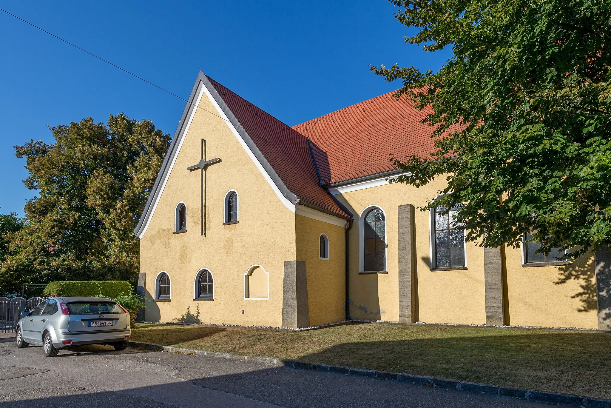
WittibreutVillageWittibreut is a charming village with traditional Bavarian houses and idyllic countryside vistas.
23 km
23 km
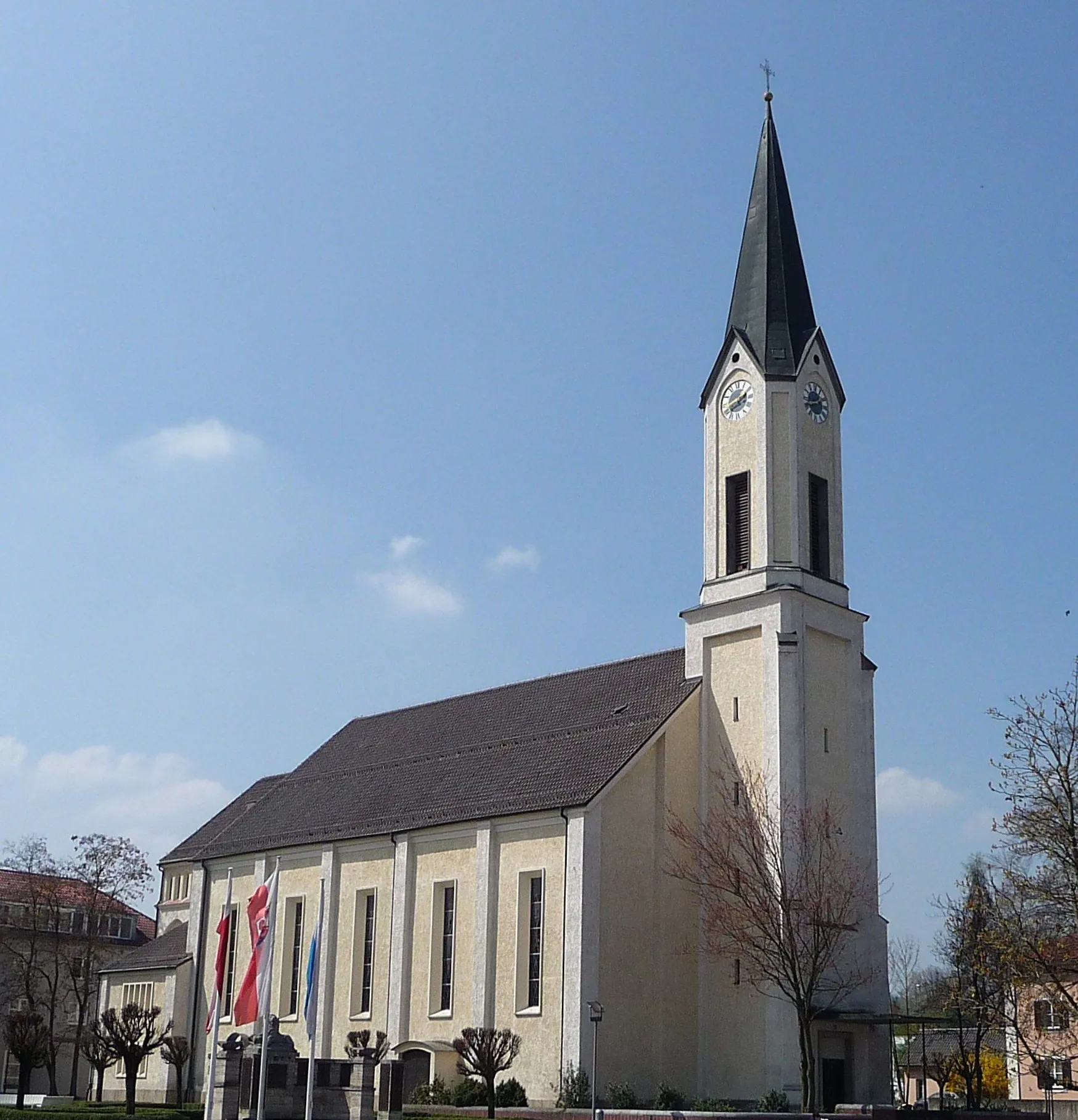
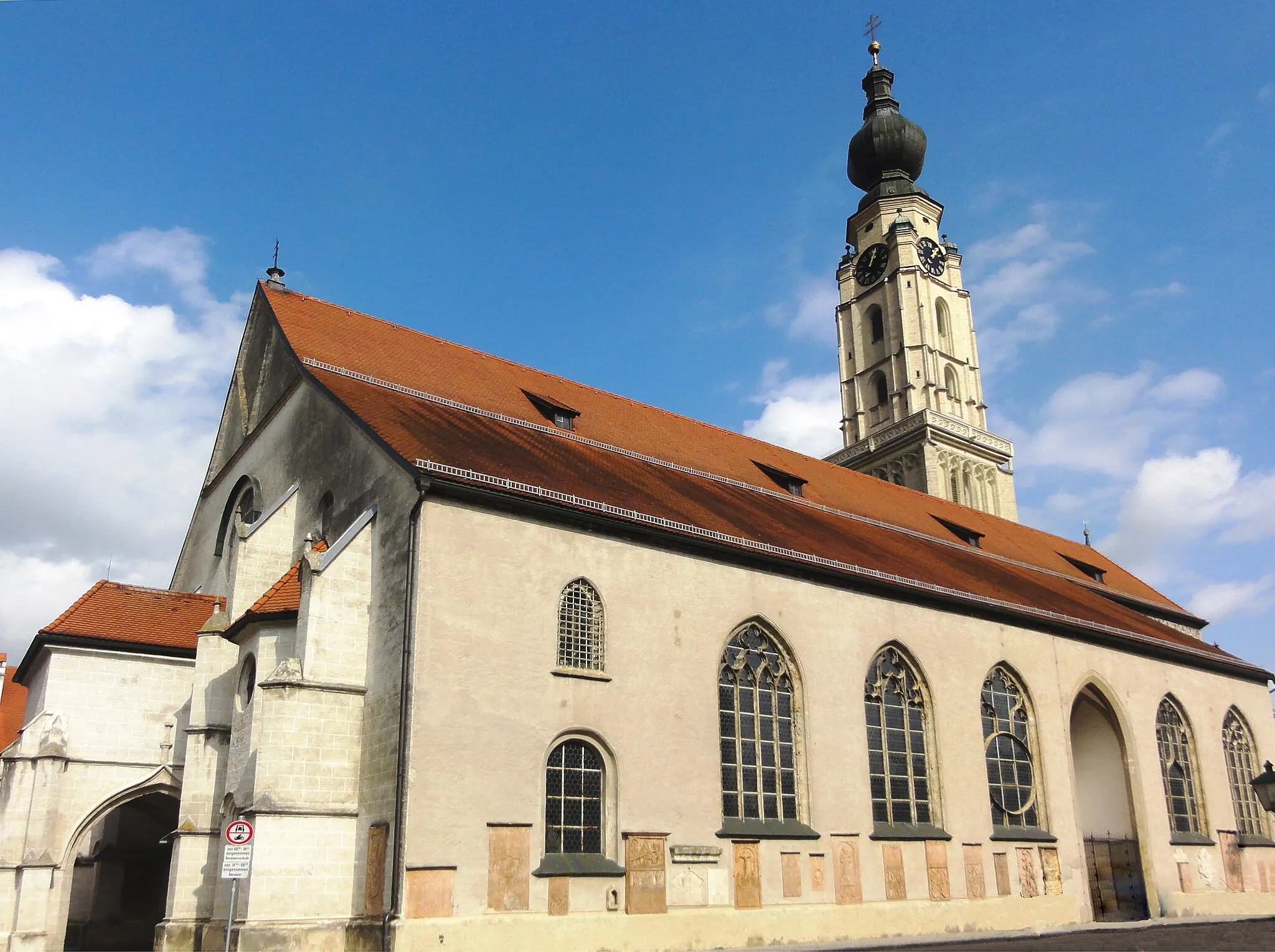
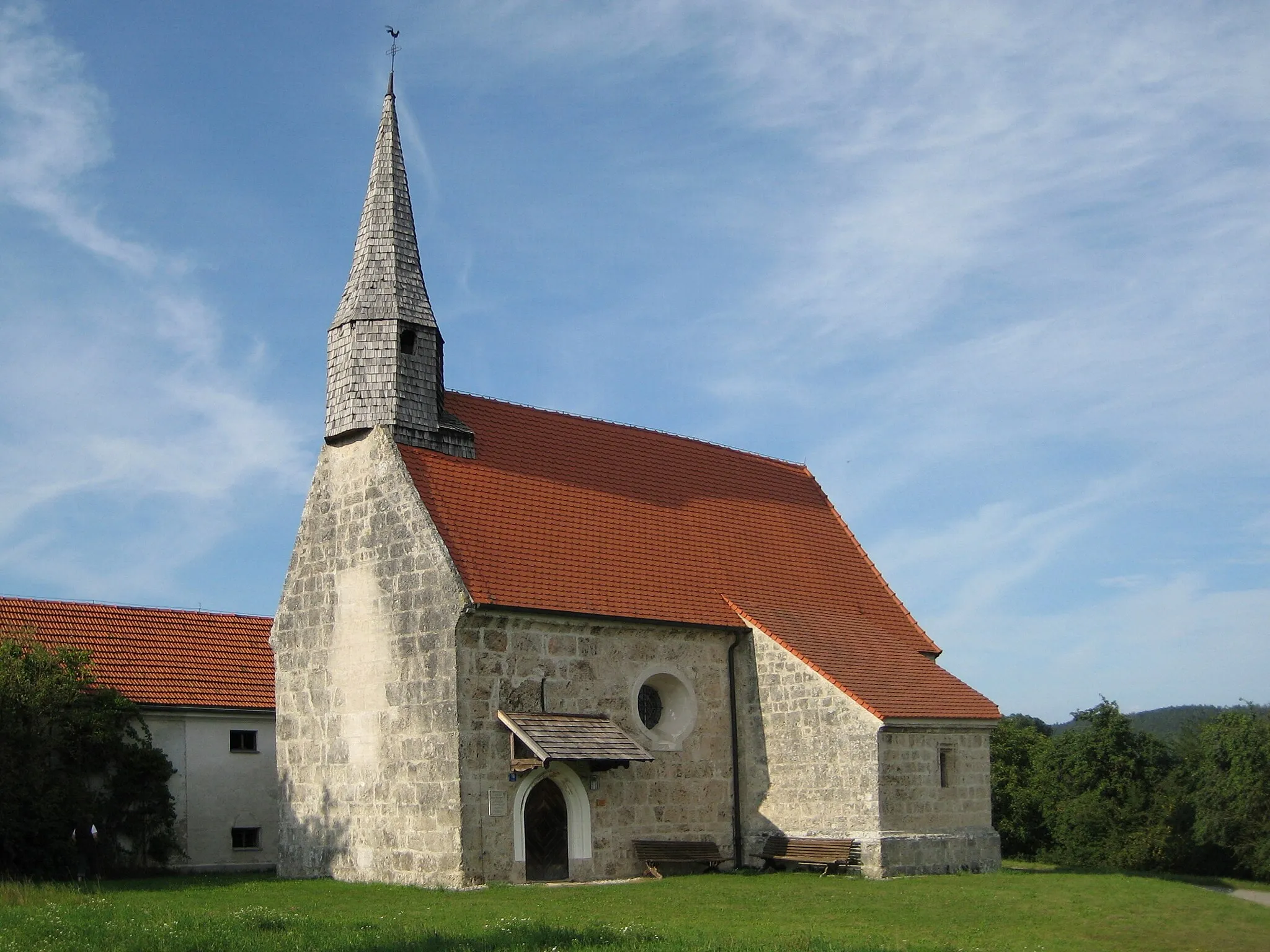
TrifternVillageTriftern is renowned for its beautiful churches and historic buildings, providing a glimpse into the region's cultural heritage.
41 km
41 km
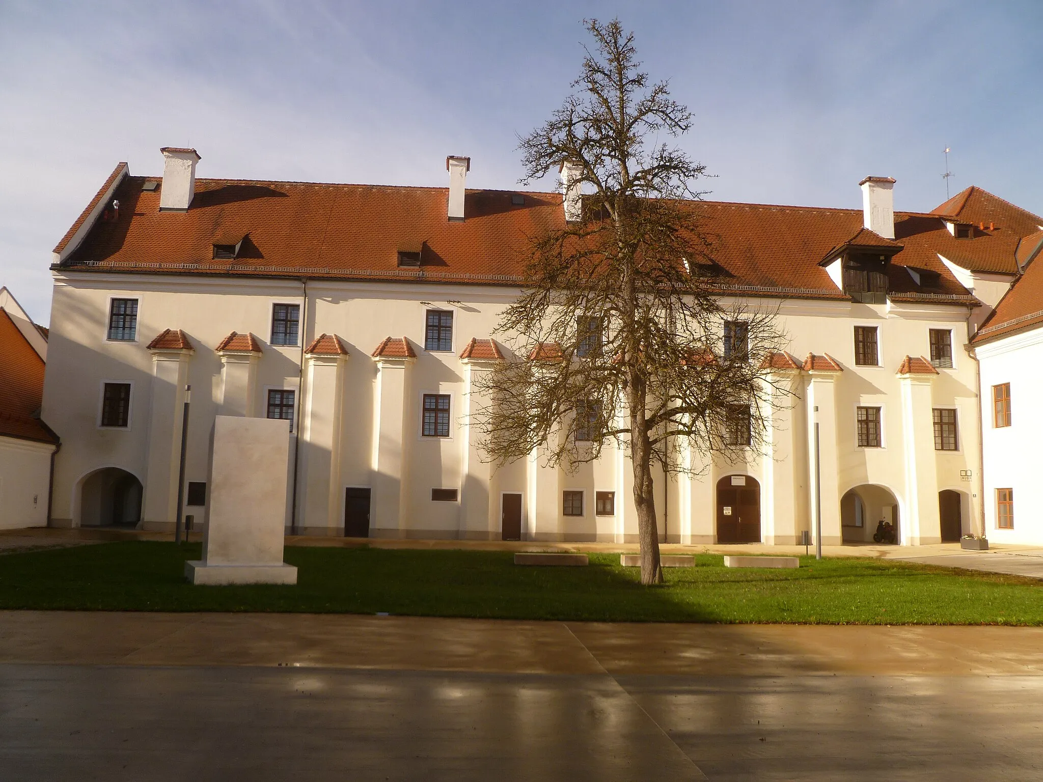
Bad Griesbach im RottalTownBad Griesbach im Rottal is a famous spa town, known for its healing thermal baths and wellness facilities.
43 km
43 km
Geldfelsen505 mPeakGeldfelsen is a natural rock formation that offers an impressive geological spectacle, perfect for a short break and photo opportunity.
54 km
54 km
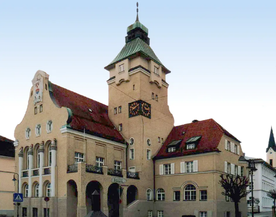
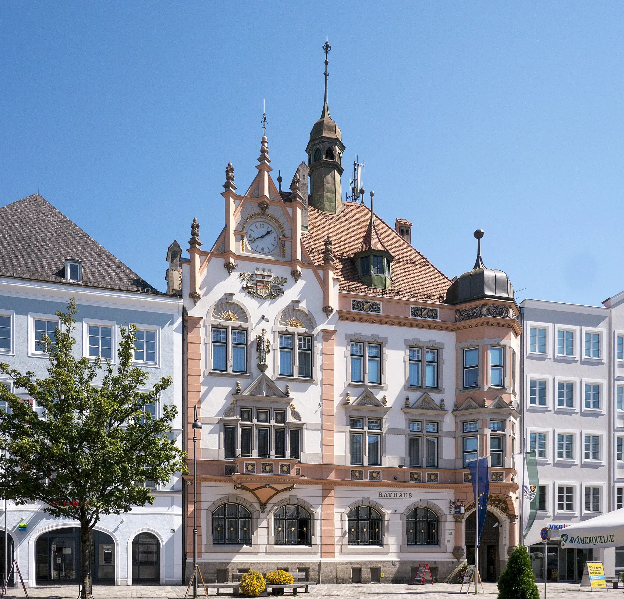
PockingTownPocking is a picturesque market town with a rich history and preserved architectural gems.
78 km
78 km
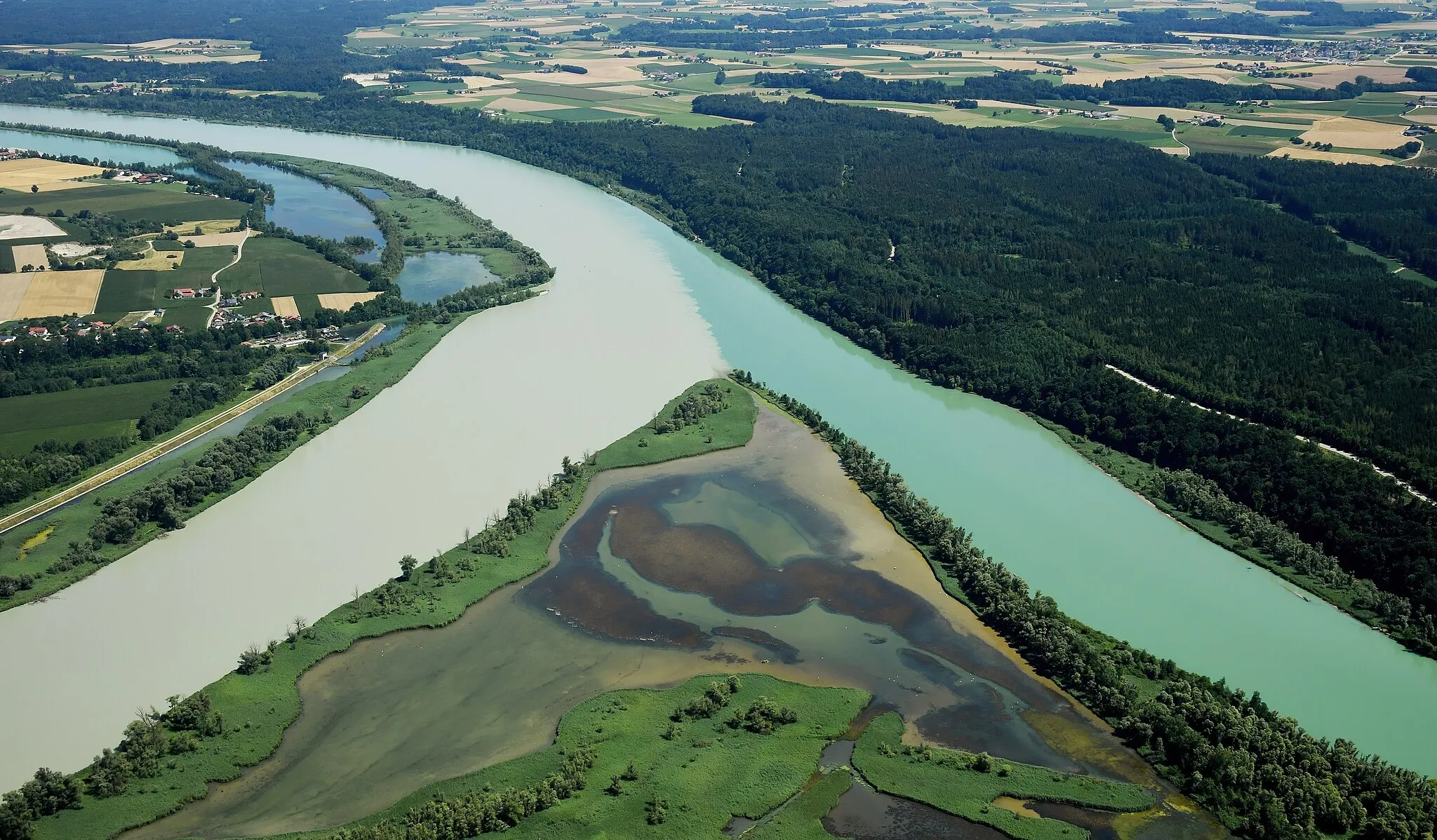
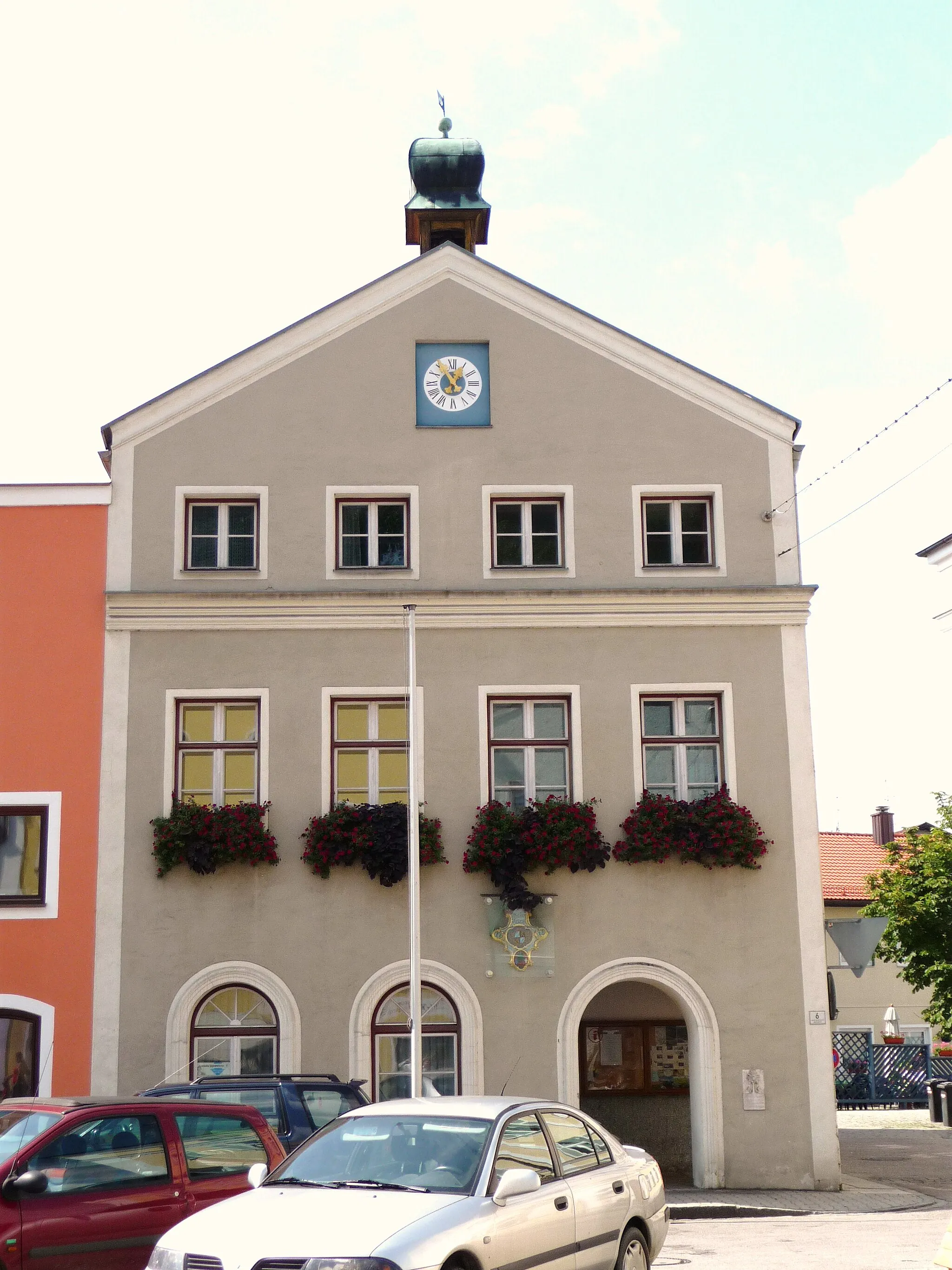
EringVillageEring is a scenic village located on the banks of the Inn River, providing tranquil views and historical landmarks.
90 km
90 km
Simbach am InnTownSimbach am Inn is a riverside town that offers beautiful cycling paths and charming sights along the route.
97 km
97 km
SchloßbergViewpointSchloßberg offers stunning panoramic views of the surrounding Rottal Valley, truly the highlight of this challenging route.
98 km
98 km
Finish: Julbach Village centerJulbach: Cycling Paradise in Niederbayern
Cycling routes from Julbach:
Cycling routes nearby: