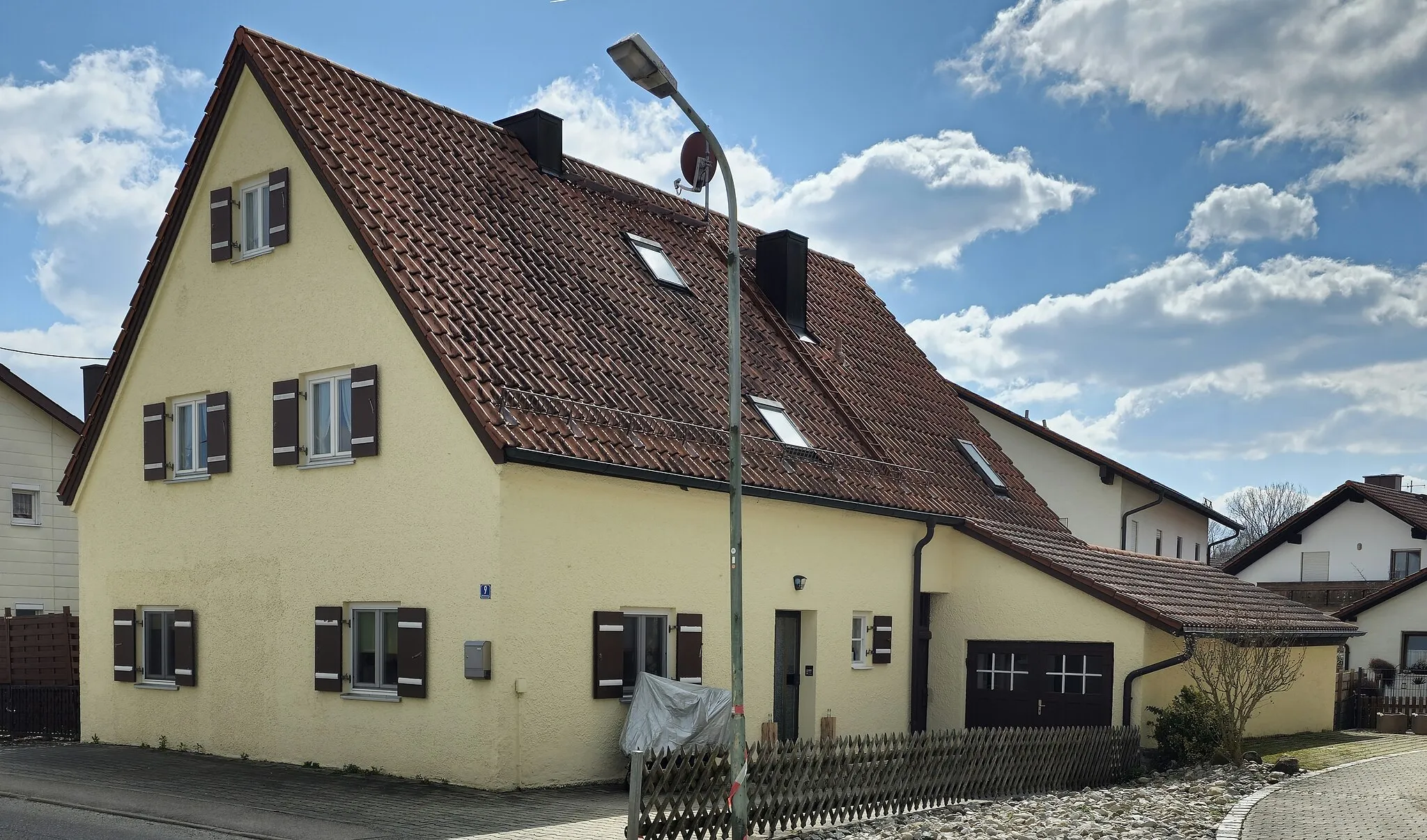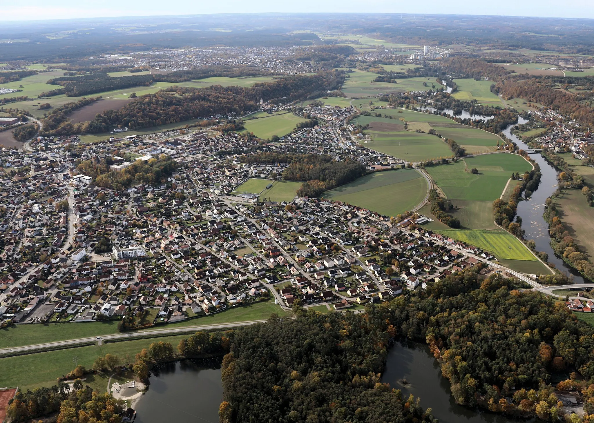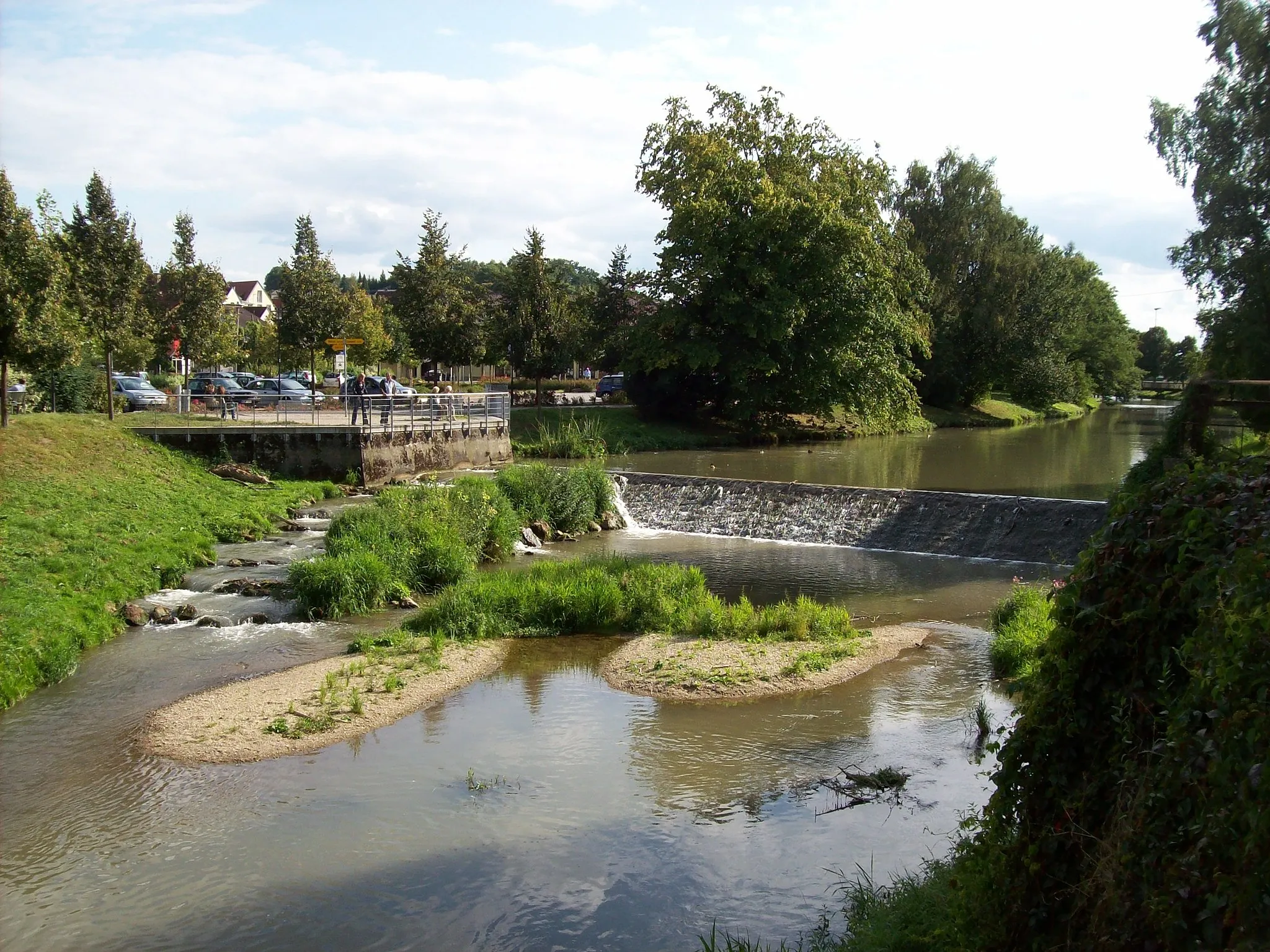
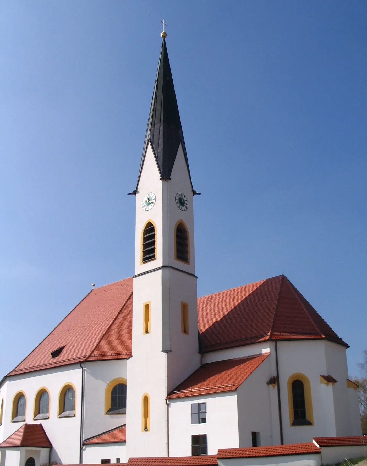
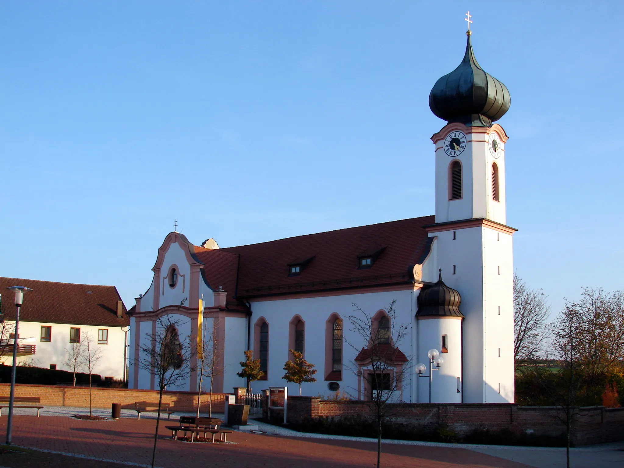
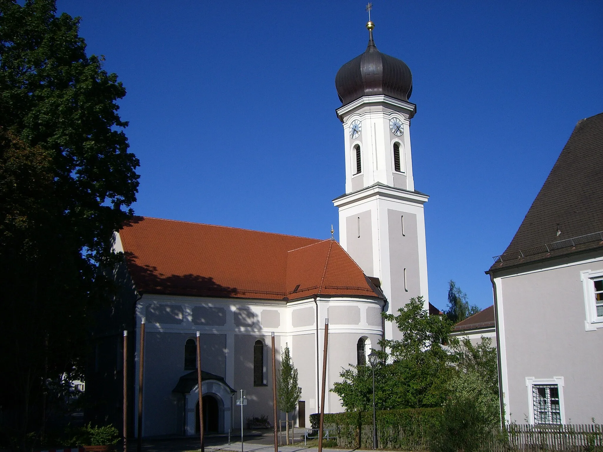
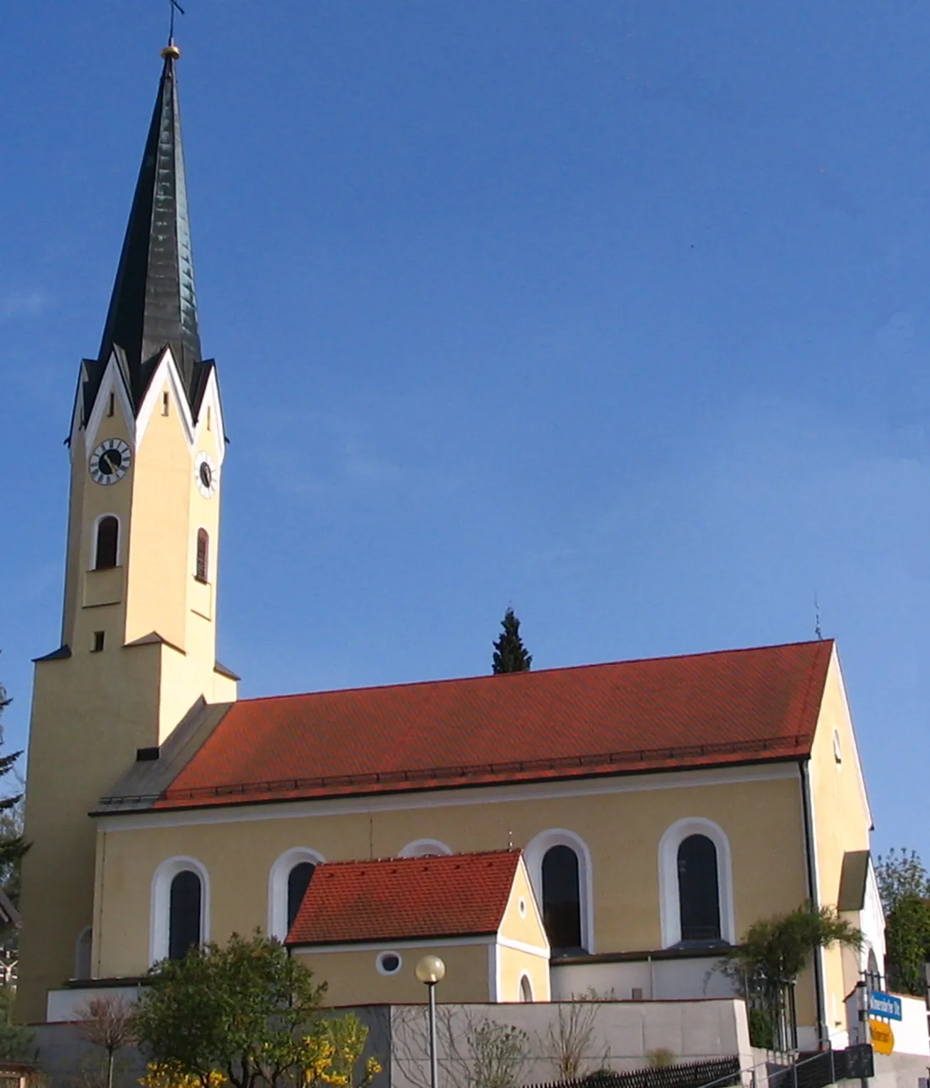
Cycling through the Bavarian countryside in Mainburg, Germany
Cycling routes from Mainburg
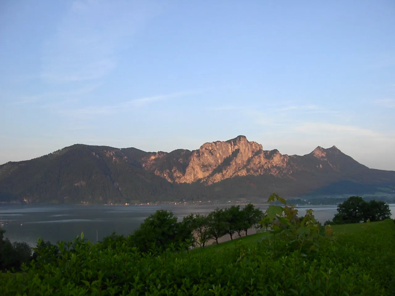
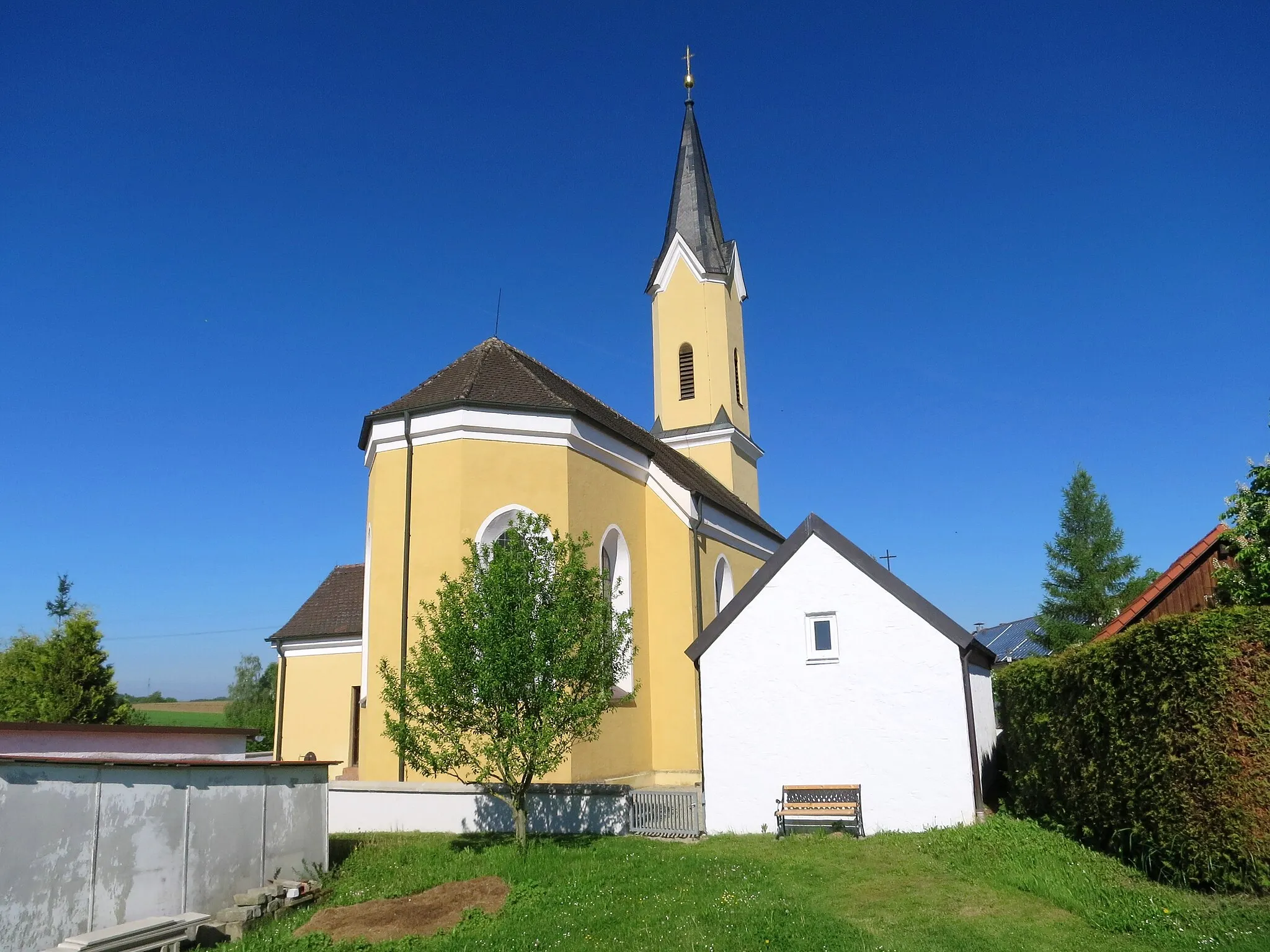
Mainburg is a locality located in Niederbayern, Germany. From a cyclist's perspective, Mainburg offers pleasant rural roads that are suitable for road and gravel cycling. The region features rolling hills and scenic landscapes, providing an enjoyable cycling experience. While there may not be any famous cycling-related spots or well-known climbs nearby, cyclists can explore the charming Bavarian countryside and visit local attractions, such as Mainburg Castle. Overall, Mainburg is a decent cycling area with beautiful scenery and moderate challenges.
Embark on a thrilling uphill challenge through scenic countryside, rewarded by stunning views uphill.
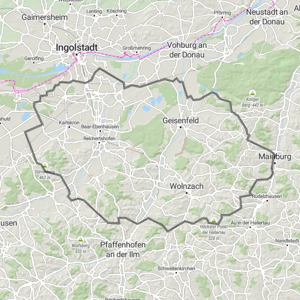
This 104-kilometer road route starting from Mainburg is for cyclists looking for a challenging ride. The scenic journey takes you through rolling hills and offers stunning views along the way. Highlights include Rudertshausen, known for its historic castle ruins, and Unsernherrn, a picturesque village overlooking the Danube river. With 806 meters of ascent, this route is best suited for well-trained amateur cyclists up for a demanding ride.
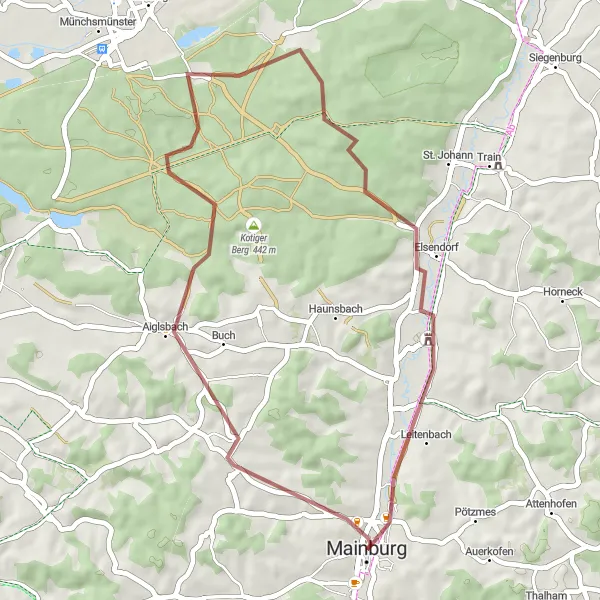
Ride through scenic gravel roads and discover hidden gems in Gasseltshausen, Jägerberg, Pförring, and more.
This 61-kilometer gravel adventure starting from Mainburg takes you on a journey through beautiful countryside. The route is suitable for gravel bikes and offers a mix of flat sections and rolling hills. Highlights along the way include Gasseltshausen, a quaint village famous for its traditional architecture, and Münchsmünster, known for its historic monastery and charming town center. It's a moderately challenging ride, with 448 meters of ascent, making it accessible to well-trained amateur cyclists.
Lindkirchen Loop
Bike through the scenic route of Lindkirchen
Experience the beauty of Lindkirchen as you cycle along this gravel route. The loop covers a total distance of 58 kilometers with an ascent of 387 meters. It offers a challenging yet enjoyable ride for gravel enthusiasts. The route takes you through beautiful landscapes and highlights several interesting spots along the way. Prepare for an adventurous journey through nature.
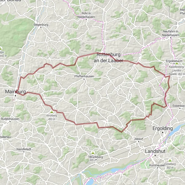
Embark on a challenging gravel ride through Rottenburg an der Laaber's beautiful countryside
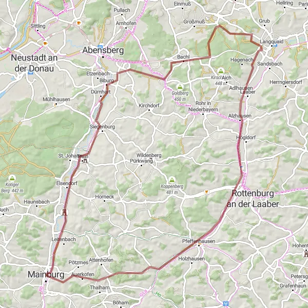
Experience the thrill of gravel cycling through the beautiful countryside near Rottenburg an der Laaber. This 88-kilometer route offers a challenging ascent of 998 meters, making it ideal for experienced gravel enthusiasts. Explore scenic landscapes, unique highlights, and the charming towns along the way. Get ready for an epic adventure in Rottenburg.
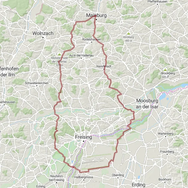
A thrilling gravel adventure showcasing the beautiful Hallertau region
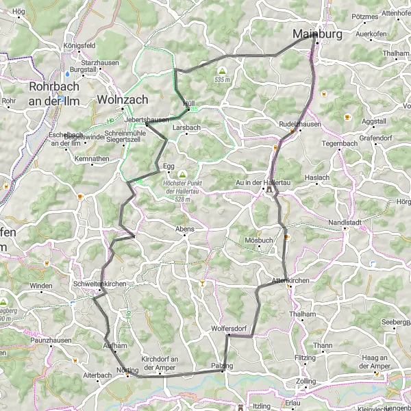
Embark on an epic cycling journey through the stunning Hallertau region, famous for its vast hop fields and charming Bavarian villages. This gravel route offers a unique exploration of Niederbayern, with challenging ascents, picturesque landscapes, and cultural highlights along the way. Be prepared to witness the breathtaking views from Aussichtshügel Süd and experience the rich history of Schloß Inkofen. Pedal past the idyllic Kirchdorf an der Amper and reach the highest point of the Hallertau in Höchster Punkt der Hallertau. Challenge yourself on this gravel adventure that offers a perfect combination of nature, history, and exhilarating cycling.
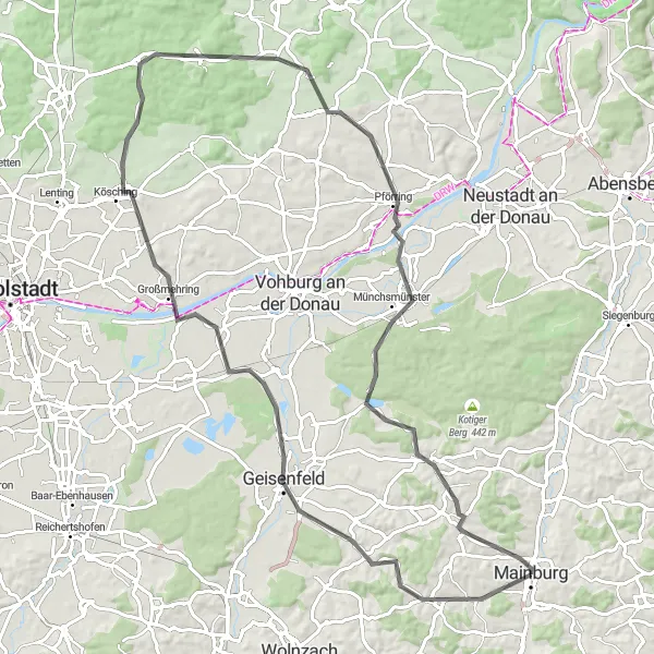
Cycle through serene country roads, passing charming villages and enjoying scenic views along the way.
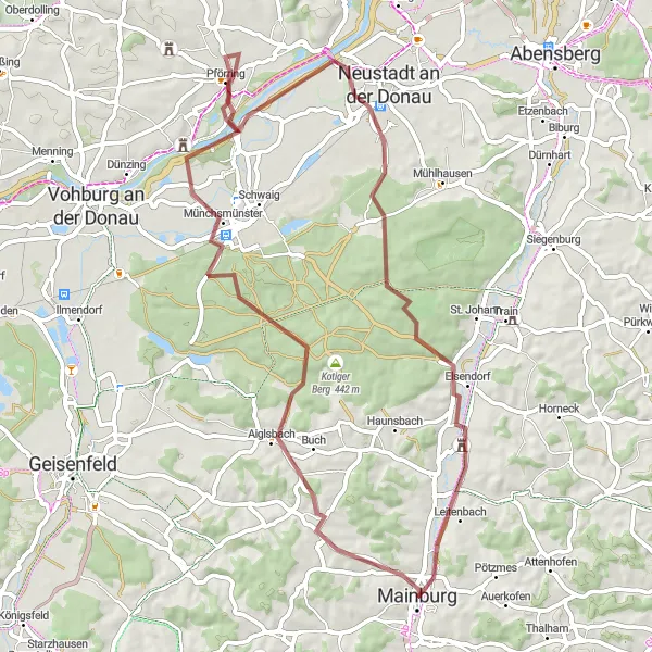
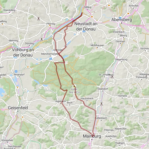
Enjoy a peaceful 87-kilometer road ride from Mainburg to Pförring, taking you along tranquil country roads. The route features picturesque scenery, charming villages, and flat sections mixed with rolling hills. Highlights along the way include Großmehring, a scenic village with well-preserved traditional houses, and Pförring, a charming town overlooking the Danube river. With 649 meters of ascent, this route is moderately challenging, suitable for experienced amateur cyclists.
Discover the hidden beauty of Ebrantshausen on this breathtaking gravel loop
Embark on a thrilling gravel cycling adventure through the hidden beauty of Ebrantshausen. This 37-kilometer loop offers a moderate challenge with an ascent of 378 meters, suitable for gravel enthusiasts of all levels. Explore picturesque landscapes, unique highlights, and serene trails along the way. Get ready to be amazed by the charm of Ebrantshausen.
Embark on a scenic road ride through the Bavarian countryside, passing picturesque towns and historical landmarks.
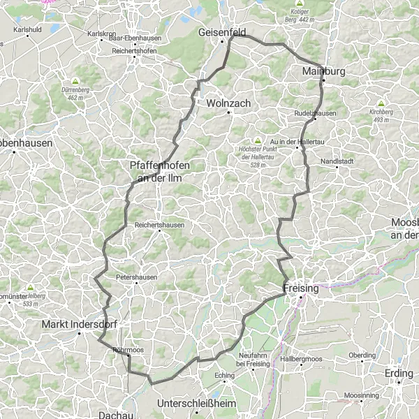
This 132-kilometer road route takes you on a scenic journey from Mainburg to Pfaffenhofen an der Ilm. The route features rolling hills and stunning countryside views. Highlights along the way include Attenkirchen, a charming town known for its well-preserved medieval architecture, and Weihenstephan, home to the world's oldest brewery. With 1,149 meters of ascent, this route is best suited for well-trained amateur cyclists looking for a challenge. Pfaffenhofen an der Ilm is a vibrant town with cultural attractions and a picturesque old town, providing the perfect end to your journey.
Mainburg to Gschwellberg Loop
Experience a challenging road cycling adventure from Mainburg to Gschwellberg.
This 68 km long loop takes you from the quaint town of Mainburg through picturesque Bavarian countryside to Gschwellberg. Along the way, you'll encounter rolling hills, charming villages, and beautiful landscapes. The route offers a mix of quiet country roads and some moderate climbs, making it suitable for experienced cyclists. Embrace the challenge and soak in the stunning views as you pedal your way through this scenic route. Be prepared for a total ascent of 675 meters.
Siegenburg Discovery
Explore the hidden gems of Siegenburg on this gravel cycling route
Experience the hidden gems of Siegenburg on this thrilling gravel cycling route. Covering 75 kilometers with an ascent of 504 meters, this route offers a moderate challenge suitable for gravel enthusiasts of various skill levels. Discover the beauty of Siegenburg and enjoy the serenity of the surrounding countryside. Prepare for an adventure filled with historical landmarks and natural attractions.
Cycling routes nearby:

Nearby regions: