Escape to Scenic Countryside on Two Wheels
Cycling routes from Volkenschwand
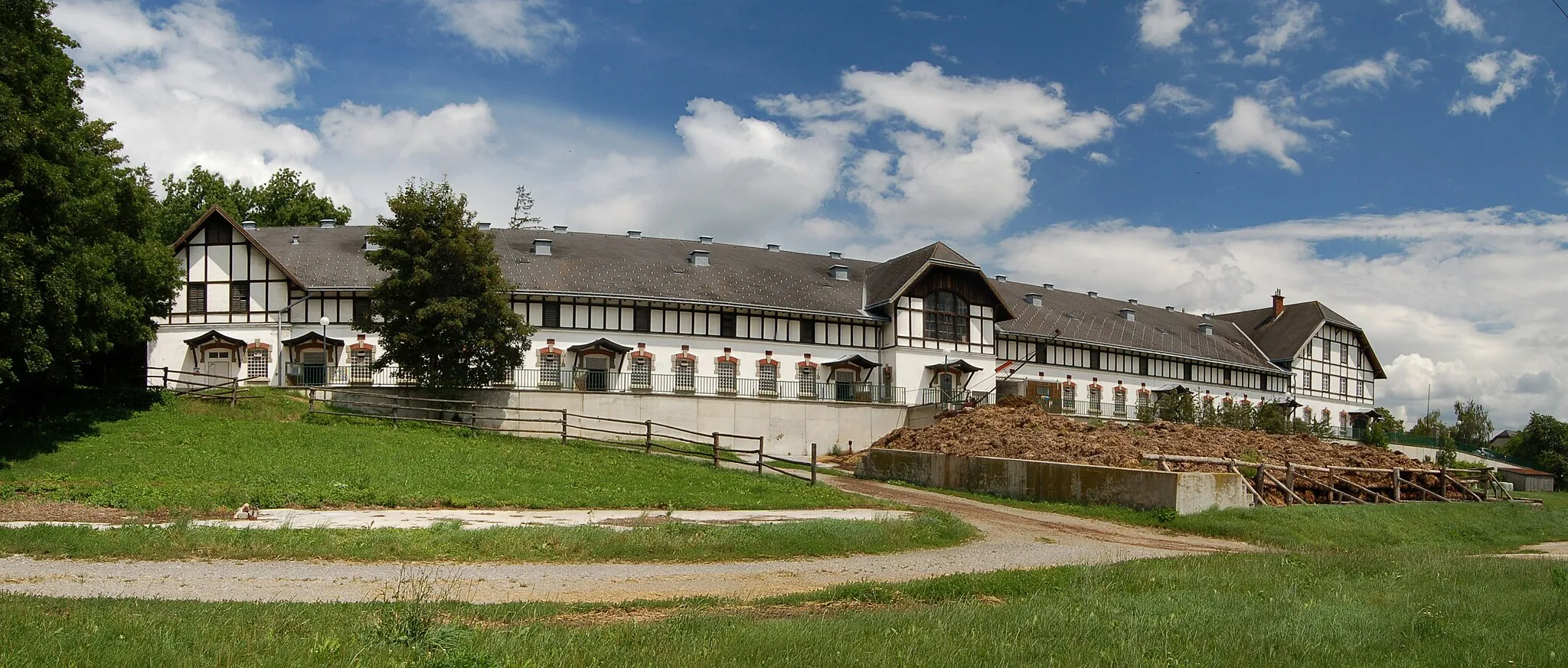
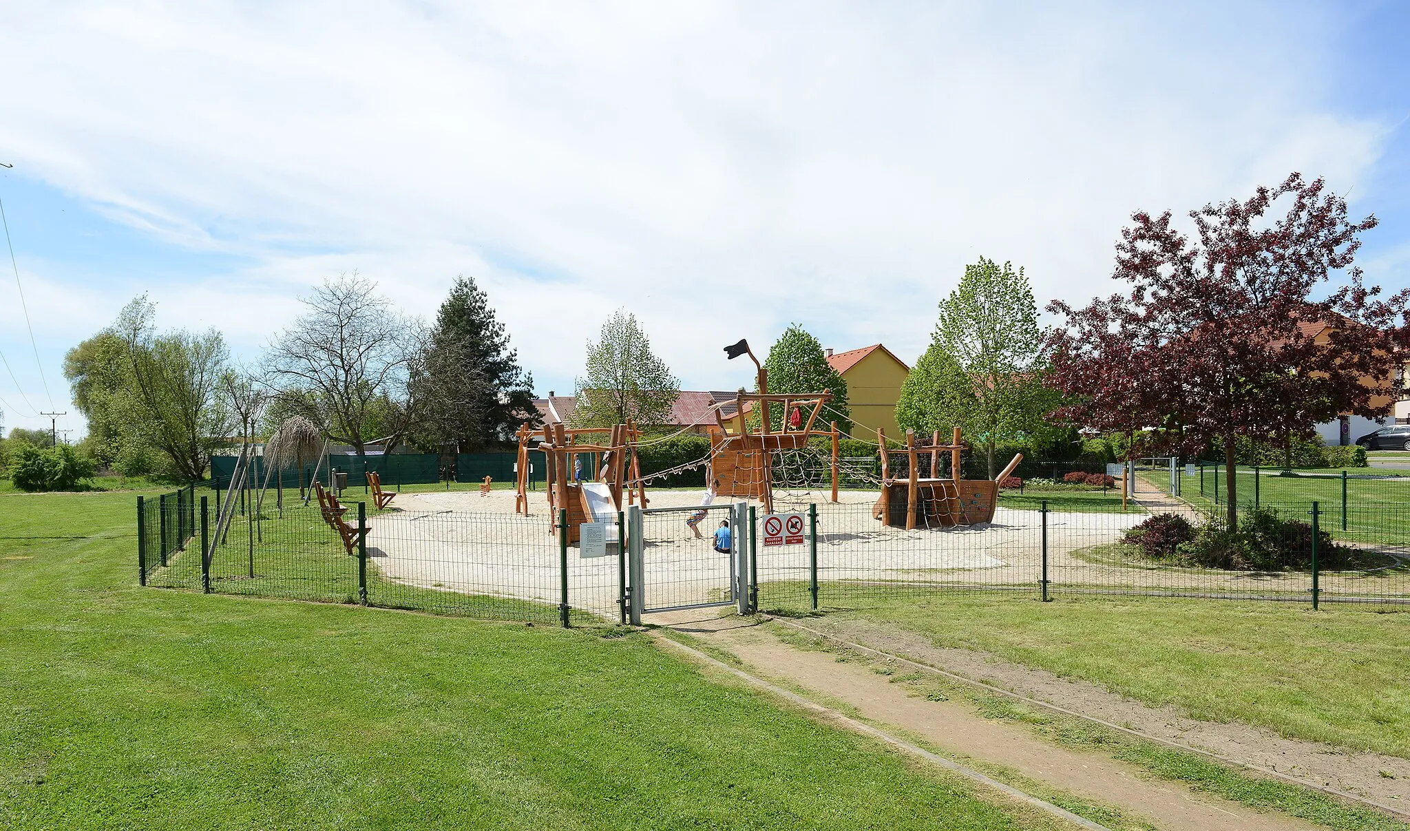
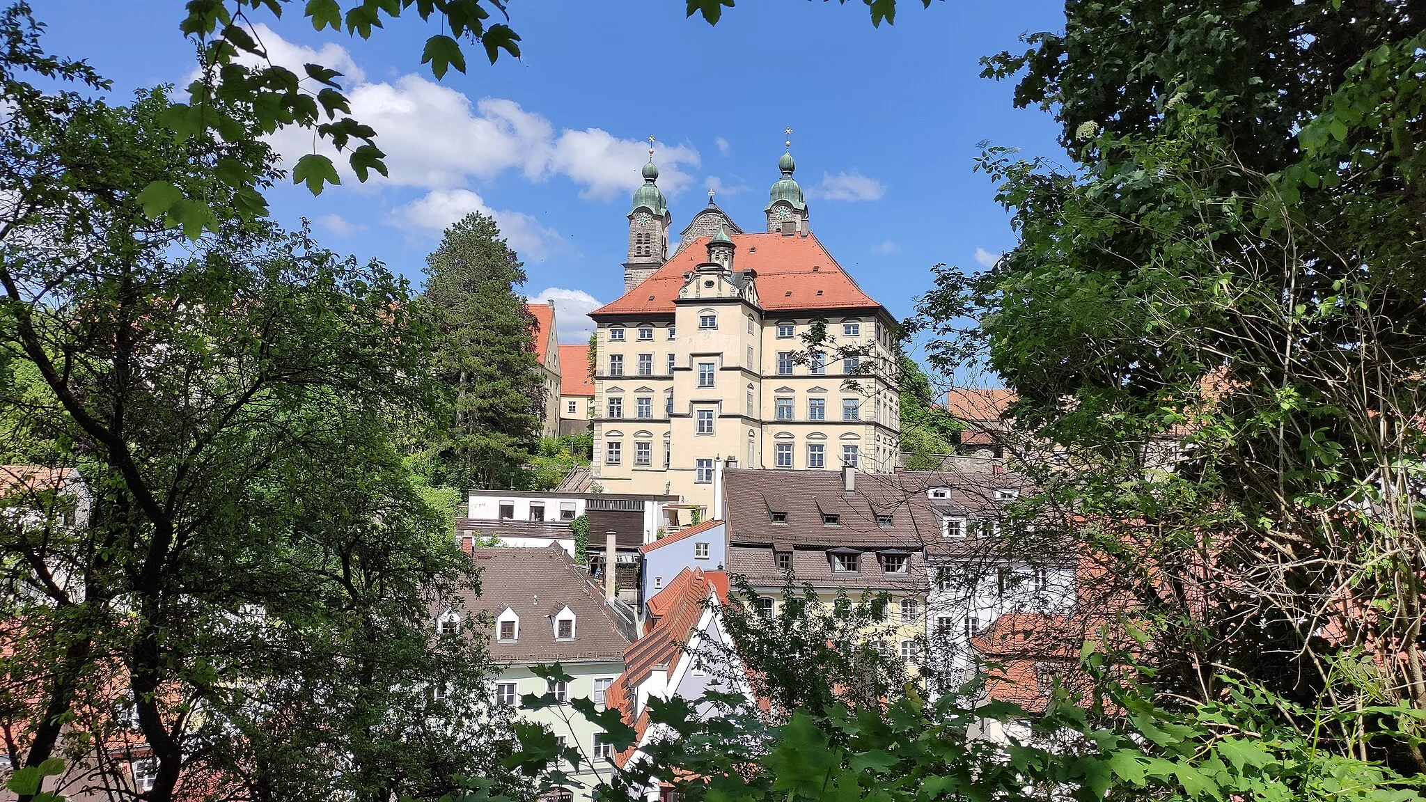
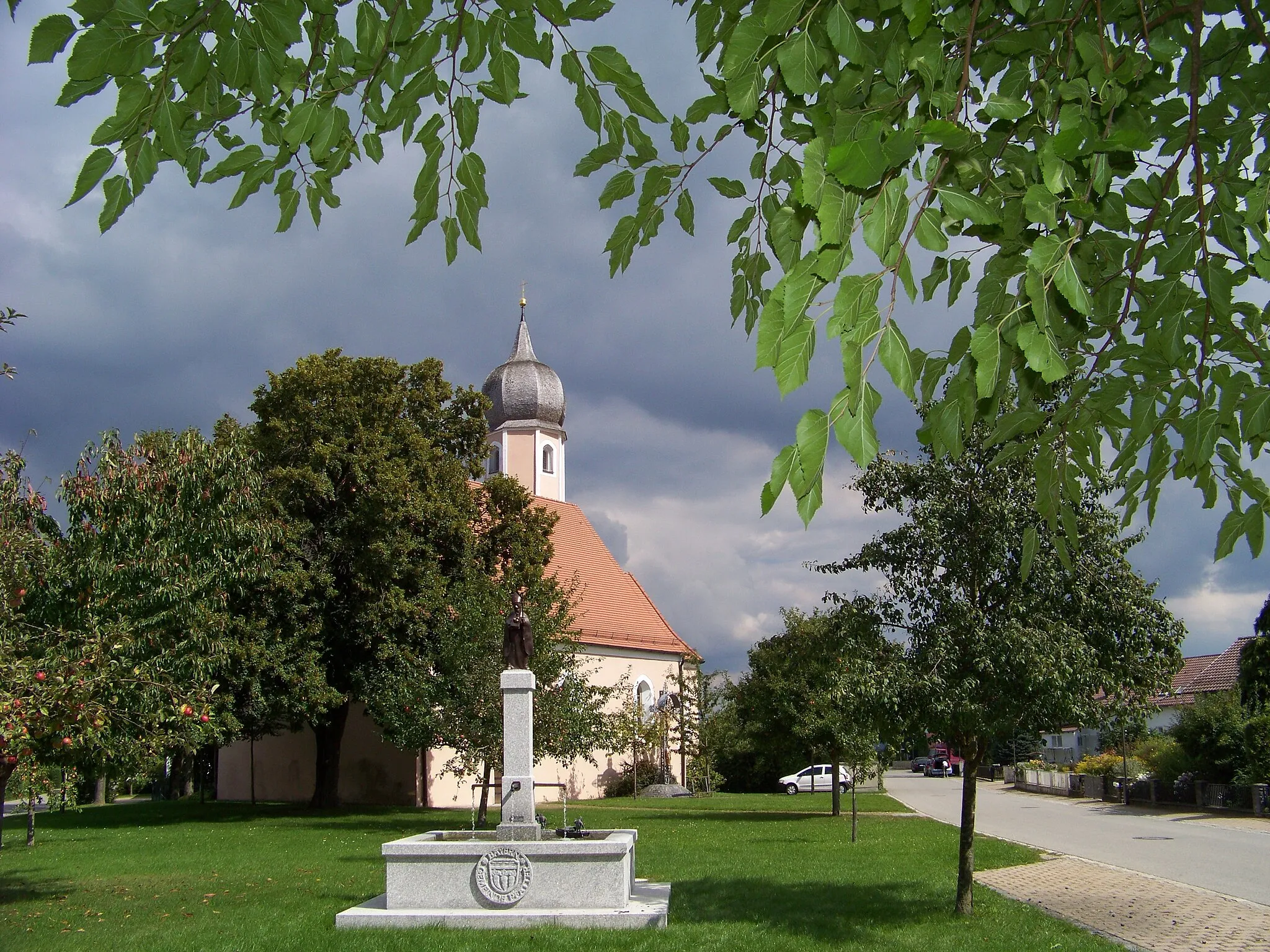
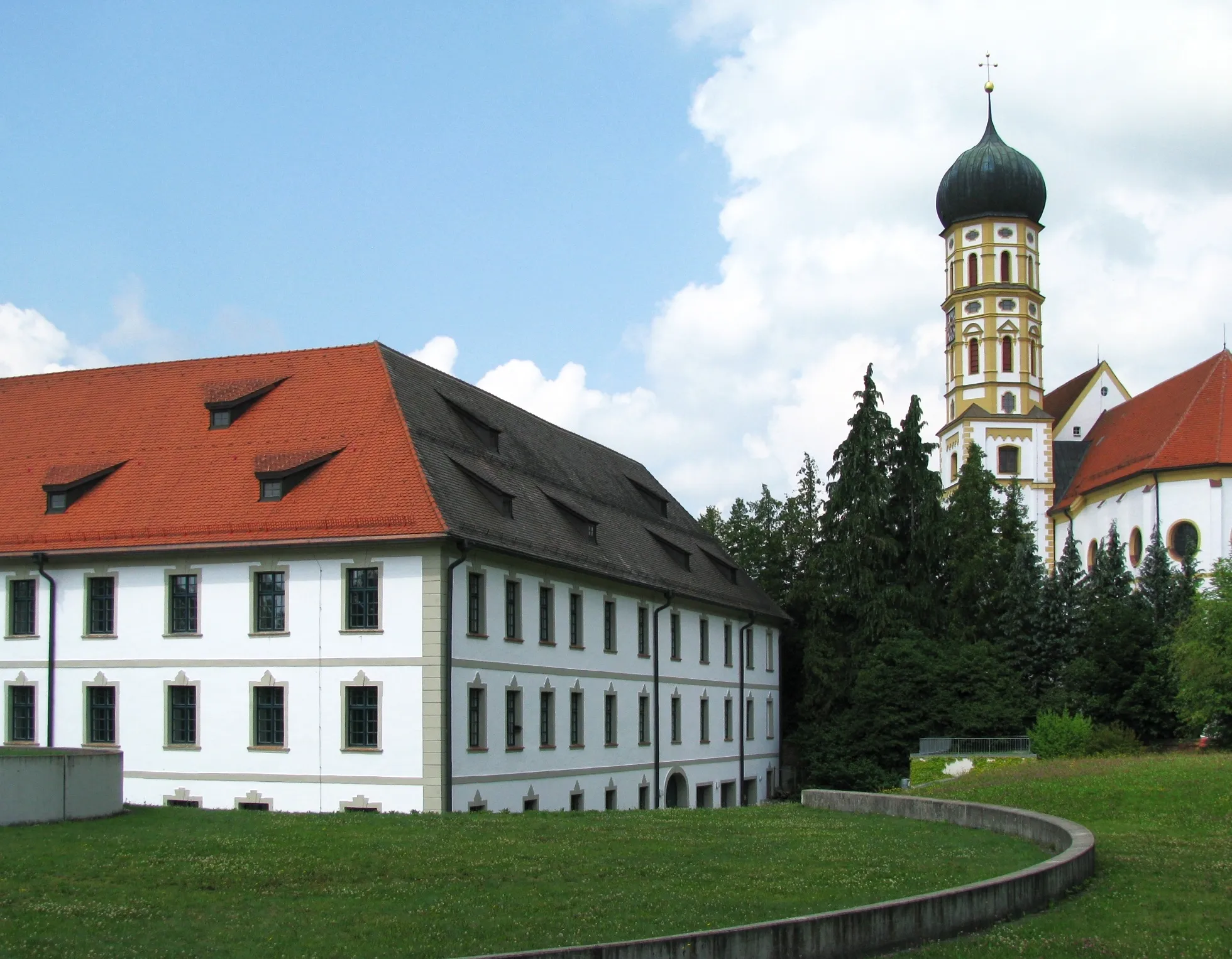
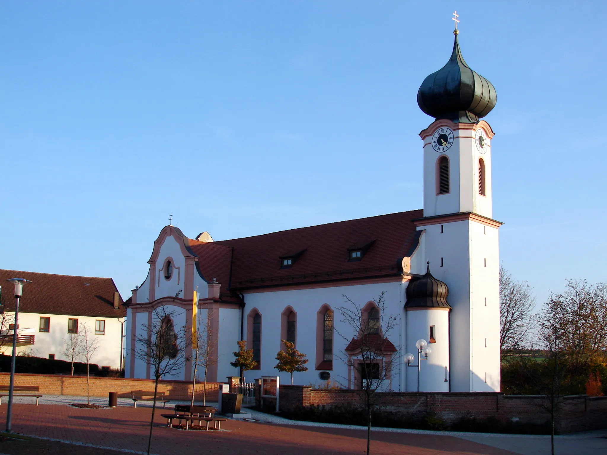
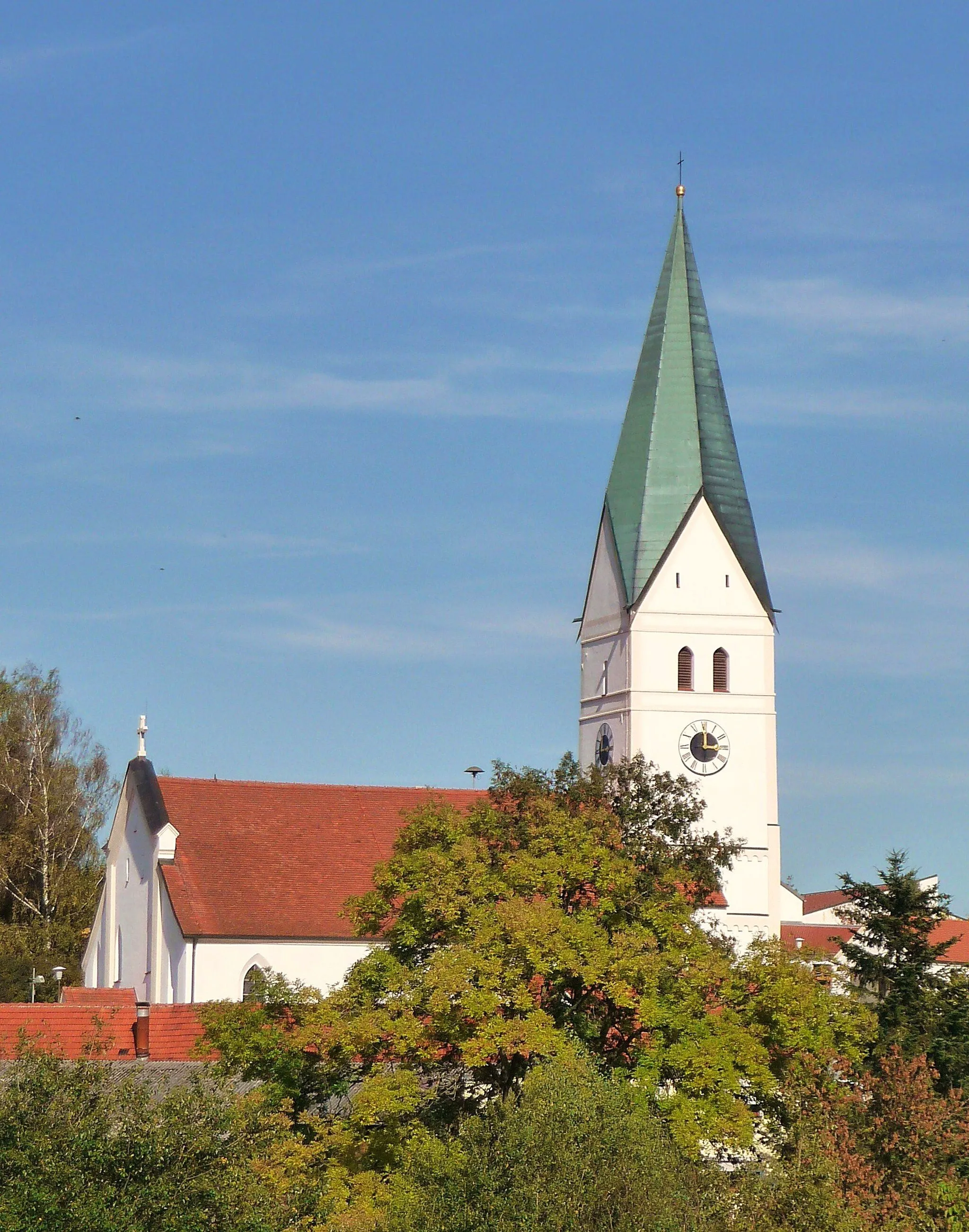
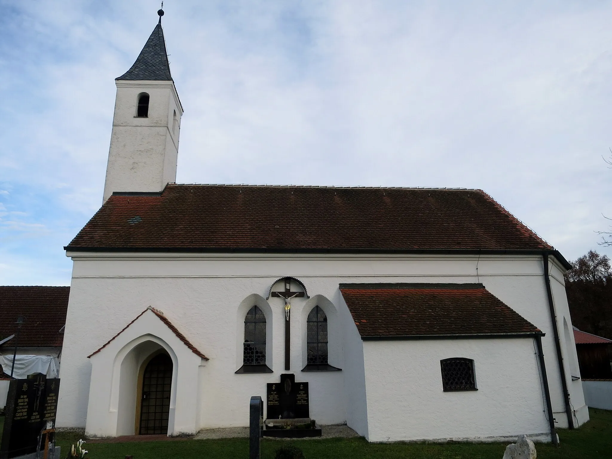
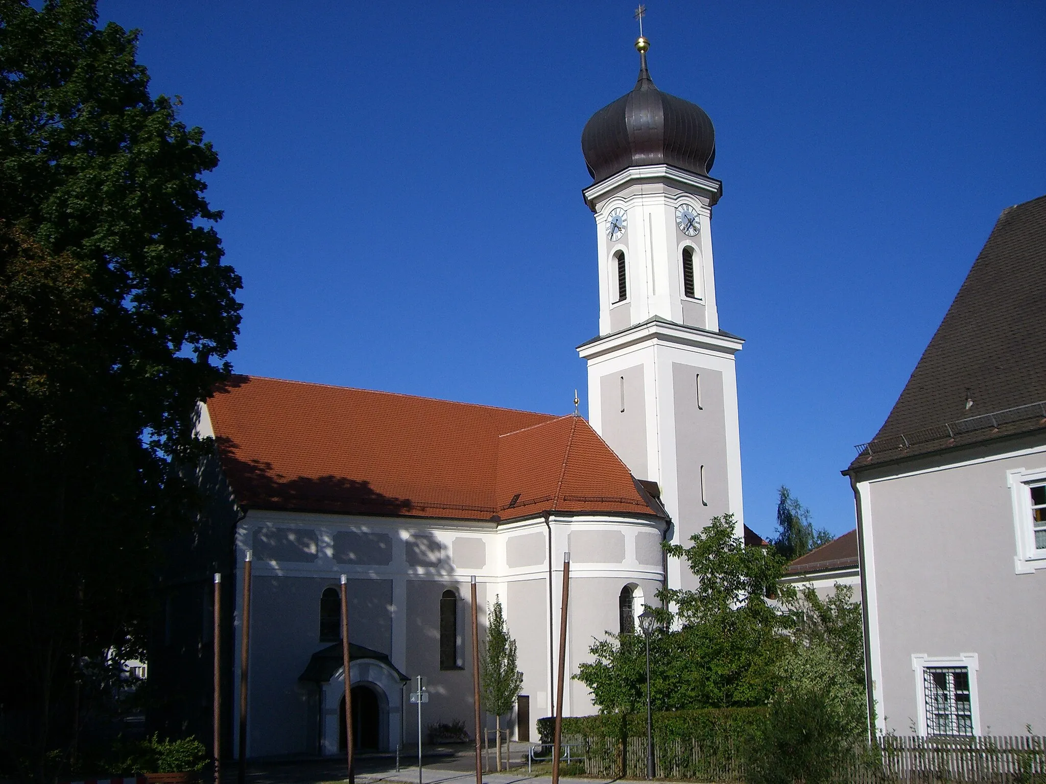
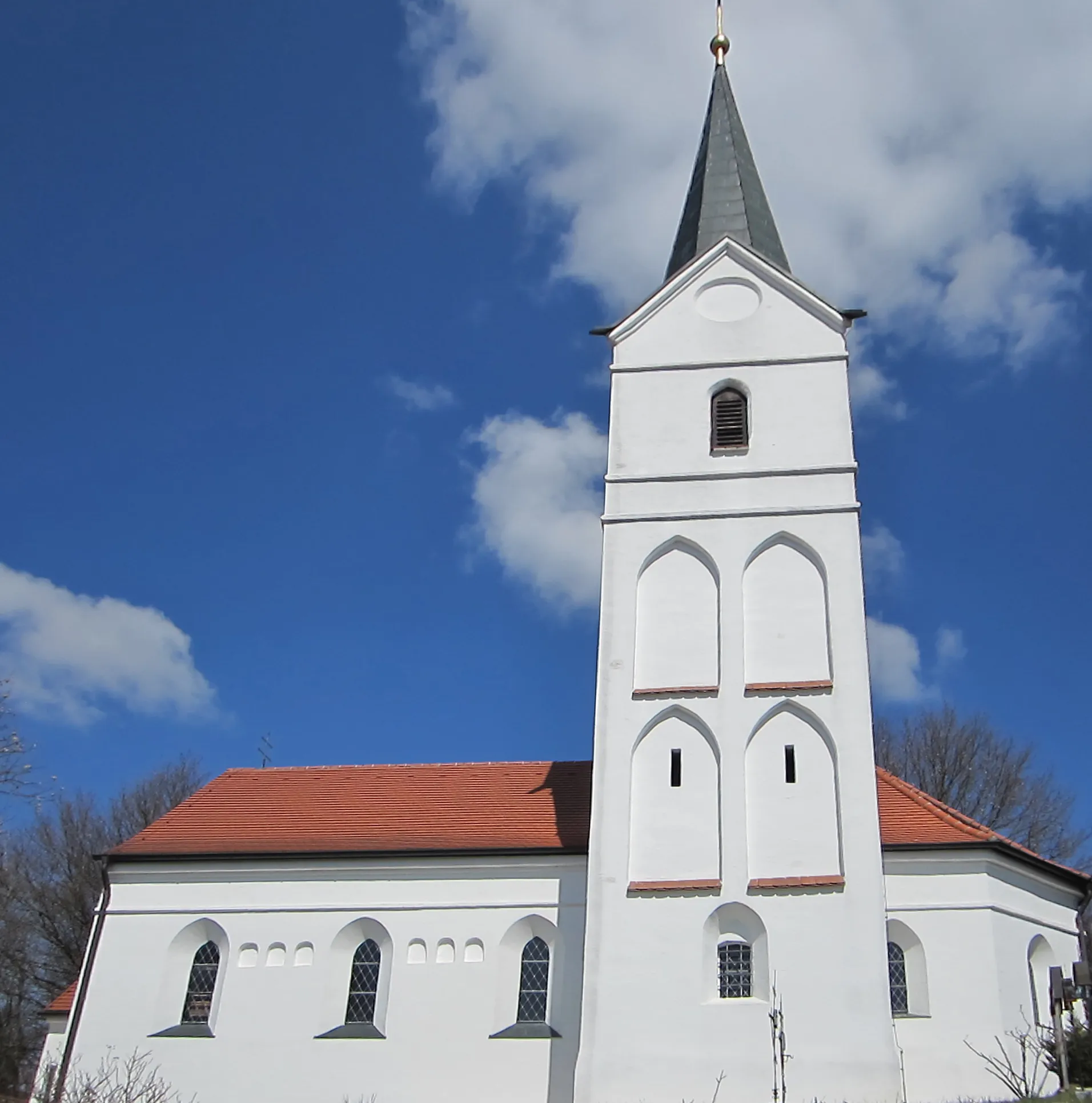
Volkenschwand, located in Niederbayern, Germany, is a suitable locality for road and gravel cyclists. The region offers rolling hills and scenic countryside routes, providing a pleasant cycling experience. One of the well-known climbs near Volkenschwand is Geiscriptionberg, which offers challenges and rewarding views. With its peaceful landscapes and cycling opportunities, Volkenschwand attracts cyclists looking for a peaceful and enjoyable ride.
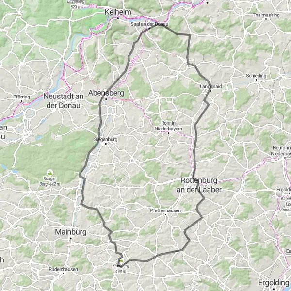
Scenic ride through the countryside
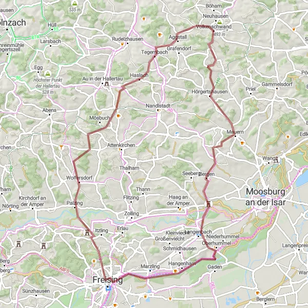
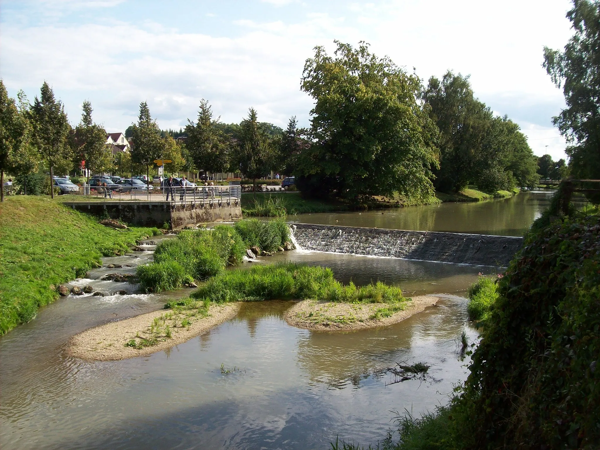
This route takes you from Volkenschwand to Kirchberg, offering beautiful views of the Bavarian countryside. The gravel path is well-suited for adventurous riders and provides a moderate challenge with an ascent of 645 meters over a distance of 70 kilometers.
Tour de Hallertau
A scenic road bike tour through the largest hop-growing region in the world.
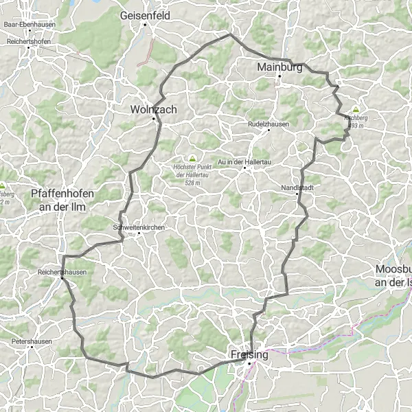
The Tour de Hallertau takes you on a picturesque journey through the largest hop-growing region in the world. Starting in Volkenschwand, you will pedal through charming villages, lush green fields, and centuries-old farms. The route encompasses a total distance of 109 kilometers and includes a challenging ascent of 1222 meters. As you cycle through Nandlstadt, Zolling, Reichertshausen, and Mainburg, you will get a chance to experience the rich brewing heritage of the area. Highlights along the way include the renowned Weihenstephan Brewery, the oldest continuously operating brewery in the world, and the beautiful landscapes of Brünnelberg and Wolnzach.
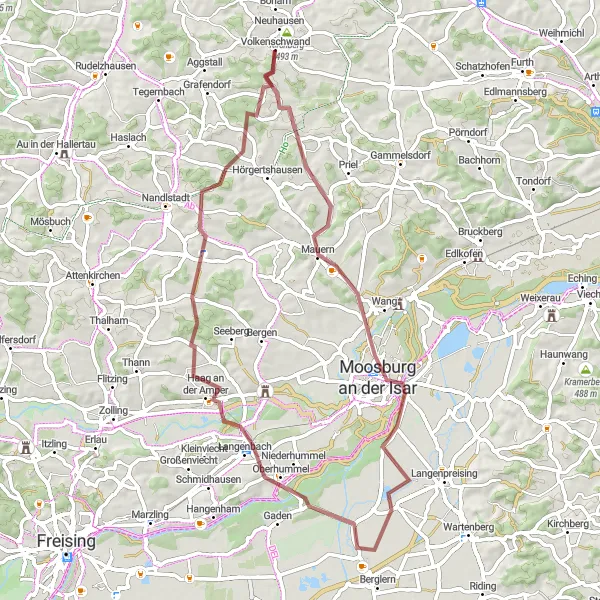
Off-road adventure with a cultural stop
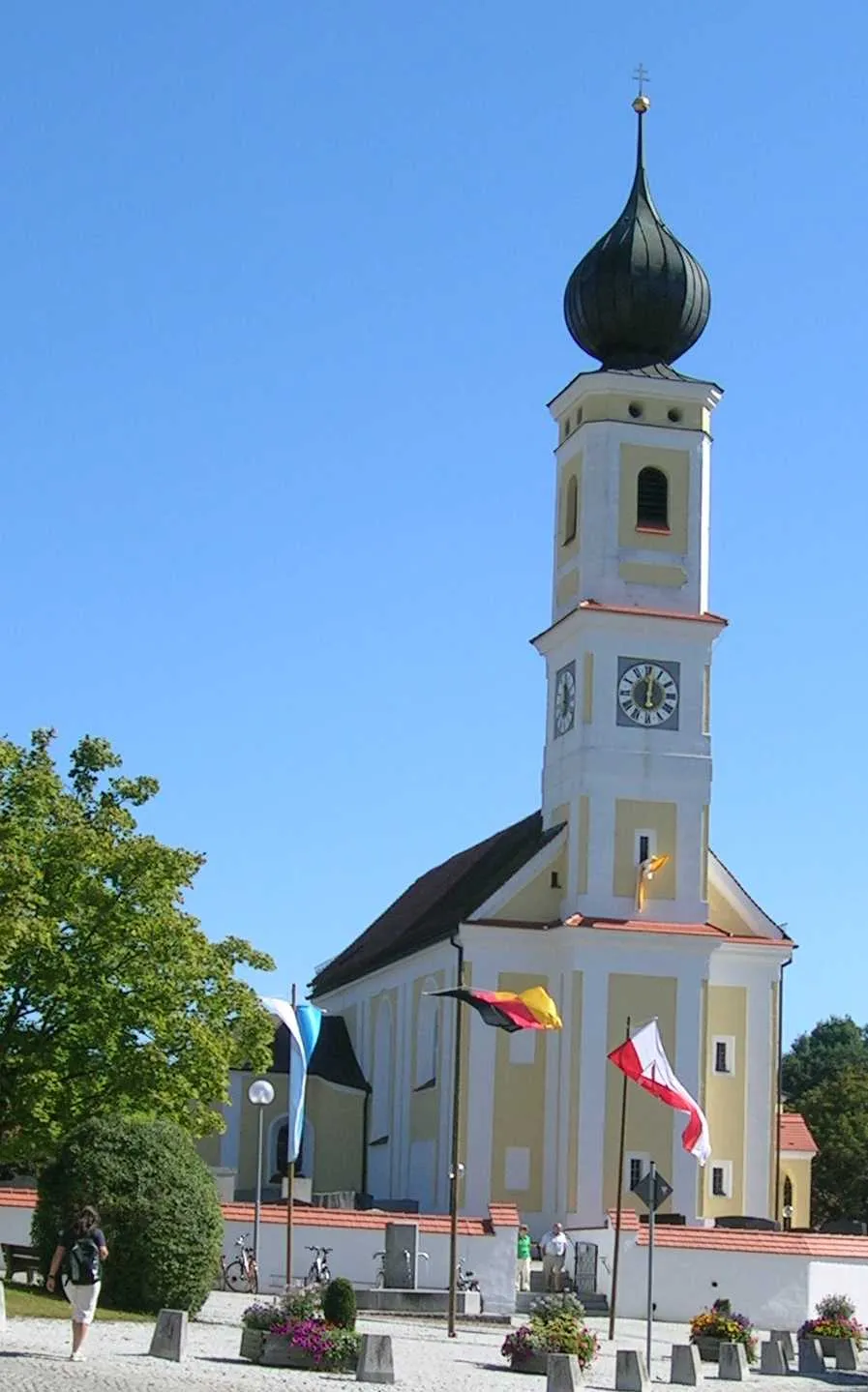
This gravel route from Volkenschwand to Moosburg an der Isar provides an exciting off-road adventure. With an ascent of 530 meters over a distance of 60 kilometers, it offers a moderate challenge for gravel enthusiasts. Along the way, you can admire picturesque landscapes and experience the rural charm of Niederbayern. Make sure to stop at Moosburg an der Isar, known for its well-preserved medieval town center and impressive Fraunberg Castle.
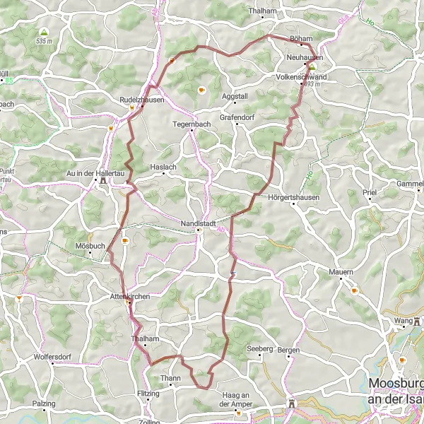
Embark on a gravel cycling adventure through picturesque landscapes near Volkenschwand.
This 50-kilometer gravel cycling route near Volkenschwand takes you off the beaten path and through scenic countryside. With a total ascent of 734 meters, it offers a moderate challenge while providing a unique and adventurous experience. Highlights along the route include Kirchberg, a charming village with traditional Bavarian architecture, and Unterplörnbach, a tranquil spot perfect for a break. Other notable spots include Hettenkirchen, known for its beautiful countryside views, and Rudelzhausen, a small town with a rich history. Overall, this route is perfect for those looking to explore the lesser-known areas around Volkenschwand.
Challenging ride with stunning views
This road route from Volkenschwand to Leibersdorf offers a challenging cycling experience for well-trained amateurs. With an ascent of 834 meters over a distance of 84 kilometers, it provides beautiful views of the Niederbayern region. Explore the quaint villages along the way and enjoy the breathtaking scenery of the Bavarian countryside.
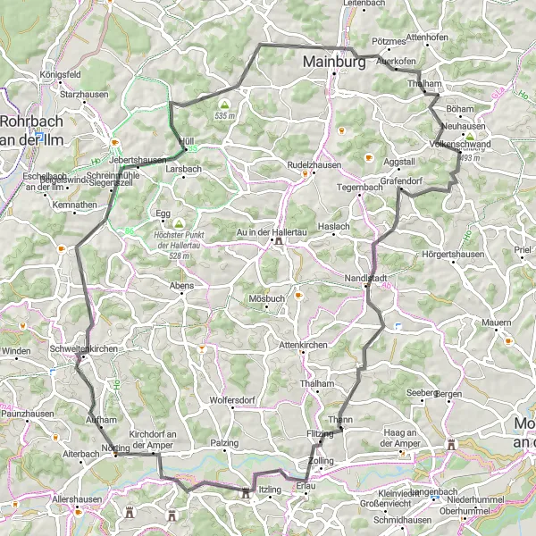
An intermediate road cycling route with scenic views and historic attractions
This 97 km road cycling route takes you through the picturesque Bavarian countryside, starting and ending in Kirchberg. With a total elevation gain of 839m, this route is suitable for well-trained amateur cyclists. The route offers an epicness factor of 3, with beautiful landscapes, charming towns, and historical attractions along the way.
Discover picturesque landscapes and cultural highlights on this road cycling route near Volkenschwand.
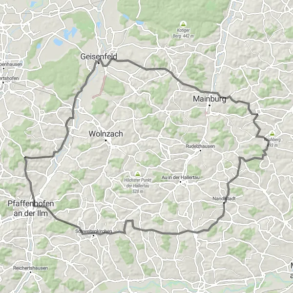
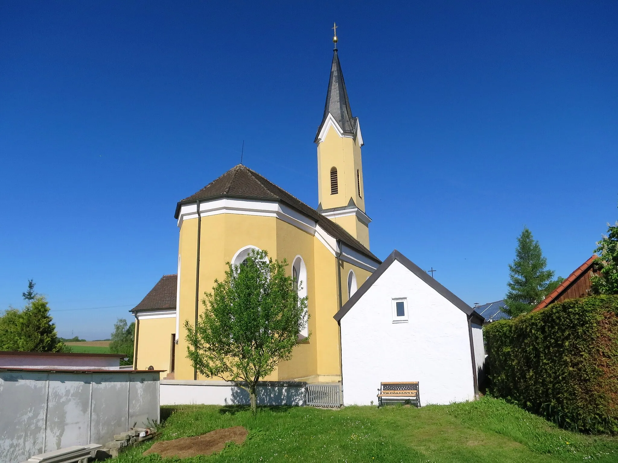
This 88-kilometer road cycling route near Volkenschwand takes you through scenic landscapes and charming towns. With a total ascent of 920 meters, it offers a moderate challenge while showcasing the beauty of Niederbayern. Highlights along the route include Kirchberg, a picturesque village known for its traditional Bavarian architecture, and Belvedere, a stunning viewpoint offering panoramic views of the surrounding countryside. Other notable spots include Pfaffenhofen an der Ilm, with its charming old town, and Mainburg, home to a historic castle. Overall, this route provides a great mix of natural beauty and cultural attractions.
Gravel Gündlkofen Adventure
Embark on a scenic gravel adventure through Bavaria's captivating landscapes.
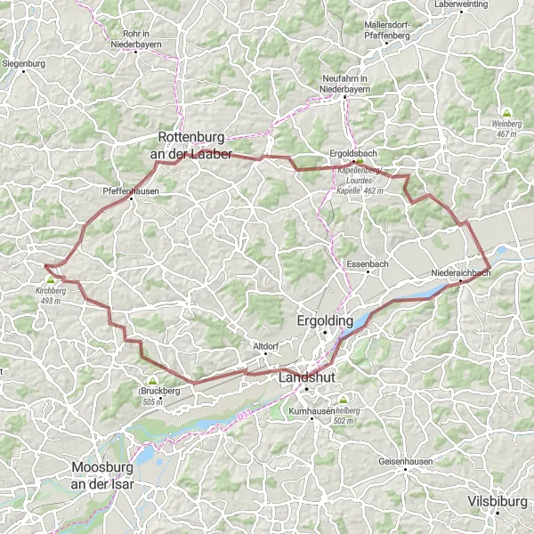
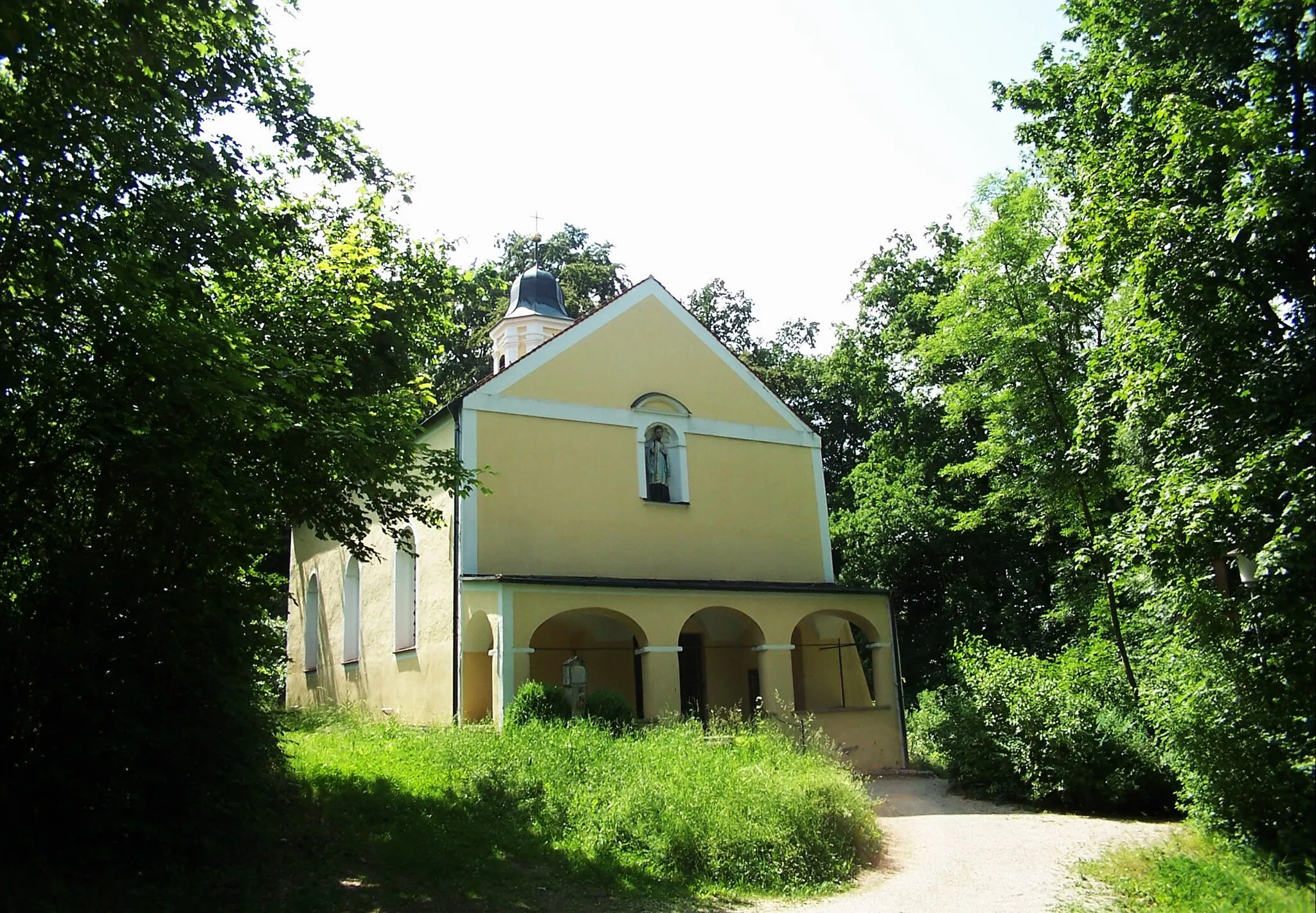
The Gravel Gündlkofen Adventure offers a thrilling off-road cycling experience through the captivating landscapes of Bavaria. Designed for gravel enthusiasts, this 96-kilometer route features a moderate ascent of 671 meters, making it perfect for experienced amateur cyclists. Starting in Volkenschwand, you will ride through stunning natural areas and picturesque villages, including Rottenburg an der Laaber, Ergoldsbach, and Landshut. The highlight of the journey is the challenging ascent to Hohe Bürg, which rewards you with breathtaking panoramic views. Other noteworthy attractions are the Lourdes Chapel on Kapellenberg, the impressive Annaberg church, and the historic town of Riederberg. This gravel adventure is ideal for those seeking a mix of thrilling cycling and breathtaking landscapes.
Relaxing ride through quaint villages
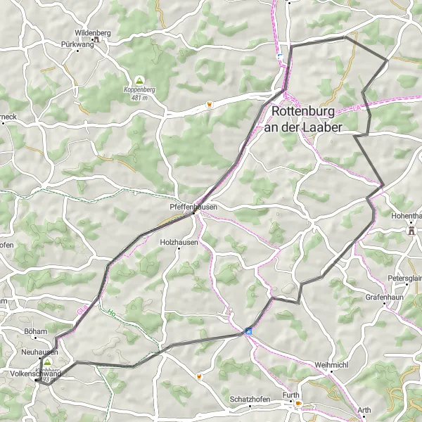
This road route offers a relaxing cycling experience, allowing riders to explore the charming villages near Volkenschwand. With an ascent of 400 meters over a distance of 53 kilometers, it provides a moderate challenge suitable for leisurely bike rides. Take your time to soak in the beautiful landscapes and enjoy the peaceful atmosphere of Niederbayern.
A leisurely road cycling route through picturesque Bavarian landscapes
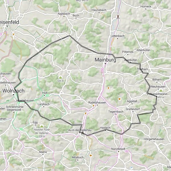
This 56 km road cycling route is perfect for a relaxing ride through beautiful Bavarian countryside. It starts near Volkenschwand and takes you through scenic towns such as Kirchberg, Au in der Hallertau, and Wolnzach. With a total elevation gain of 723m, this route is suitable for well-trained amateur cyclists. It offers a moderate level of difficulty and has an epicness rating of 3.
Cycling routes nearby:

Nearby regions: