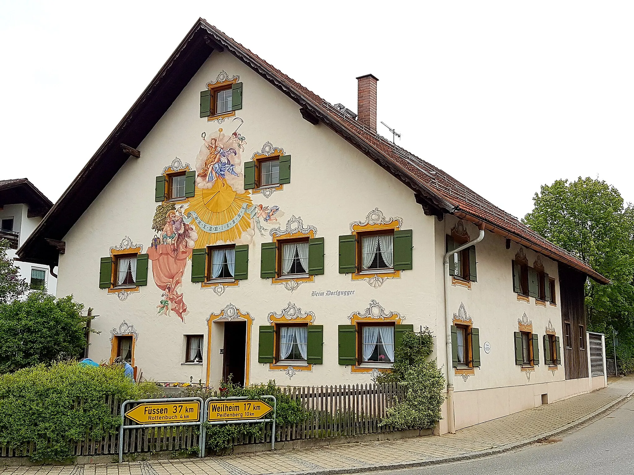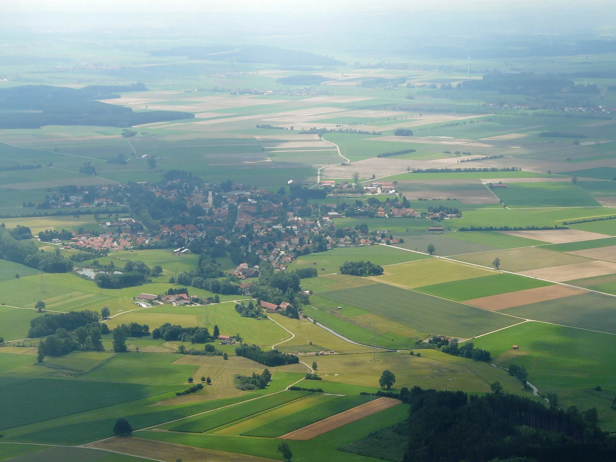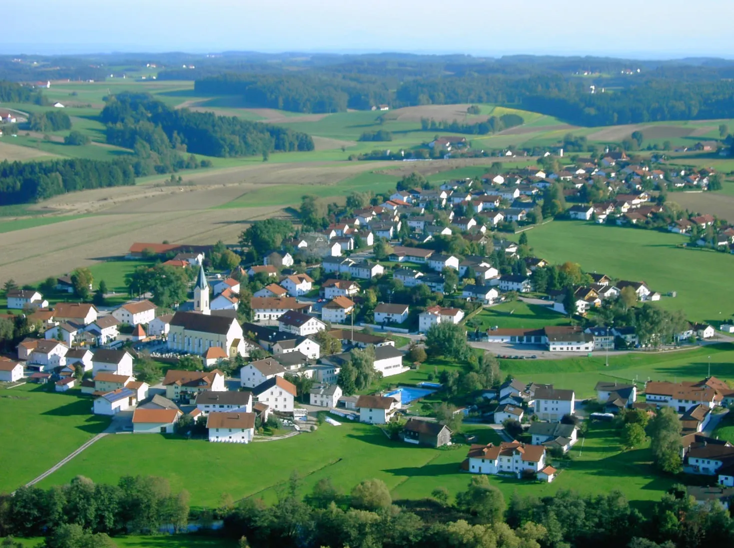
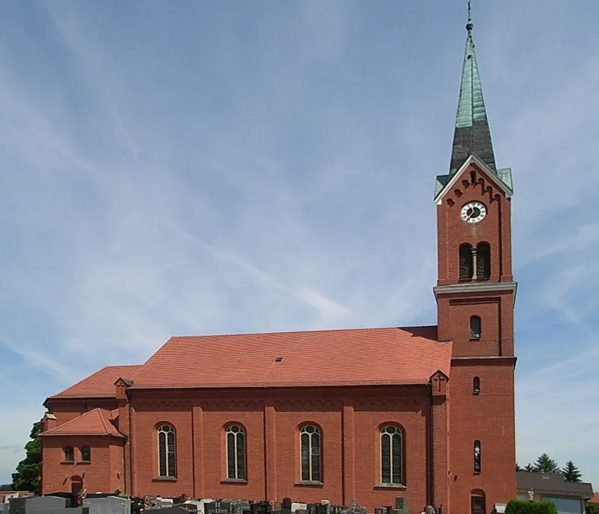
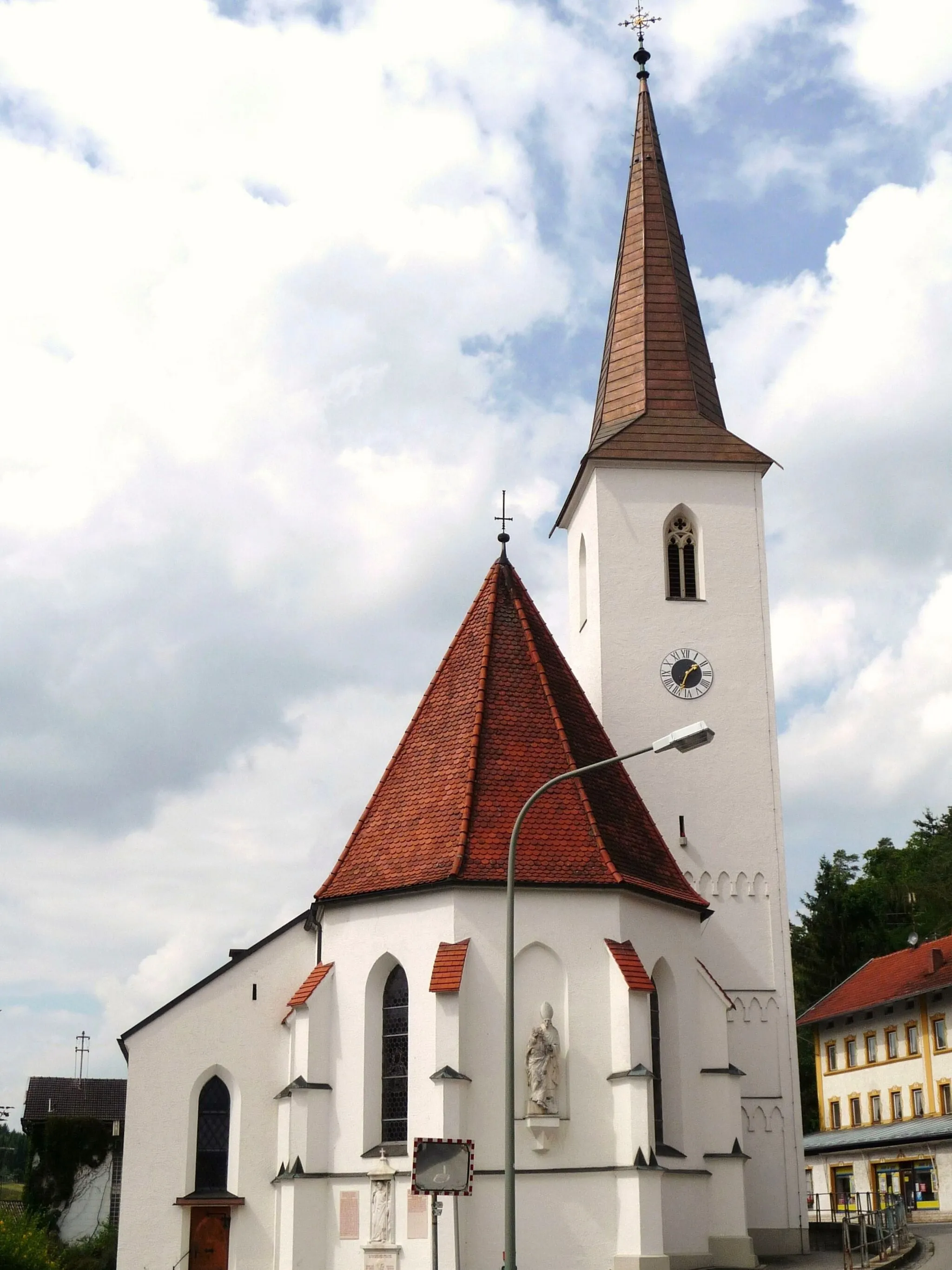
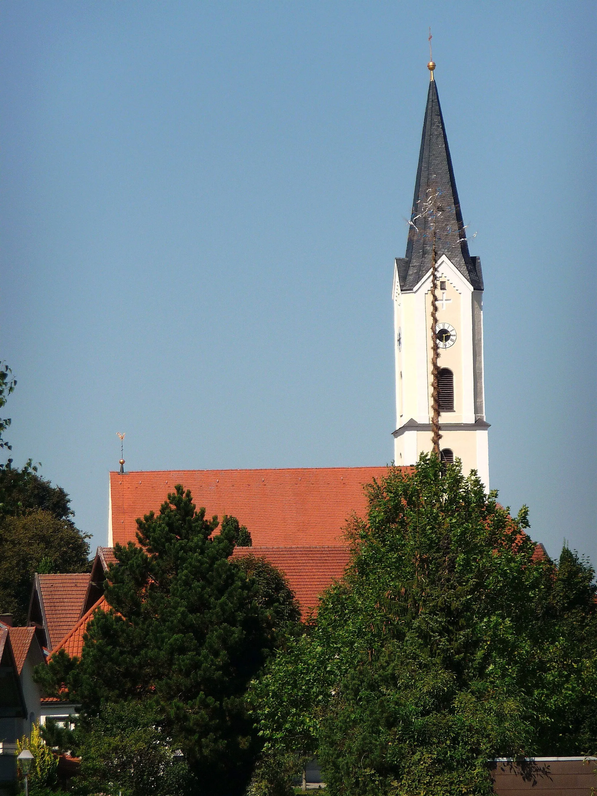
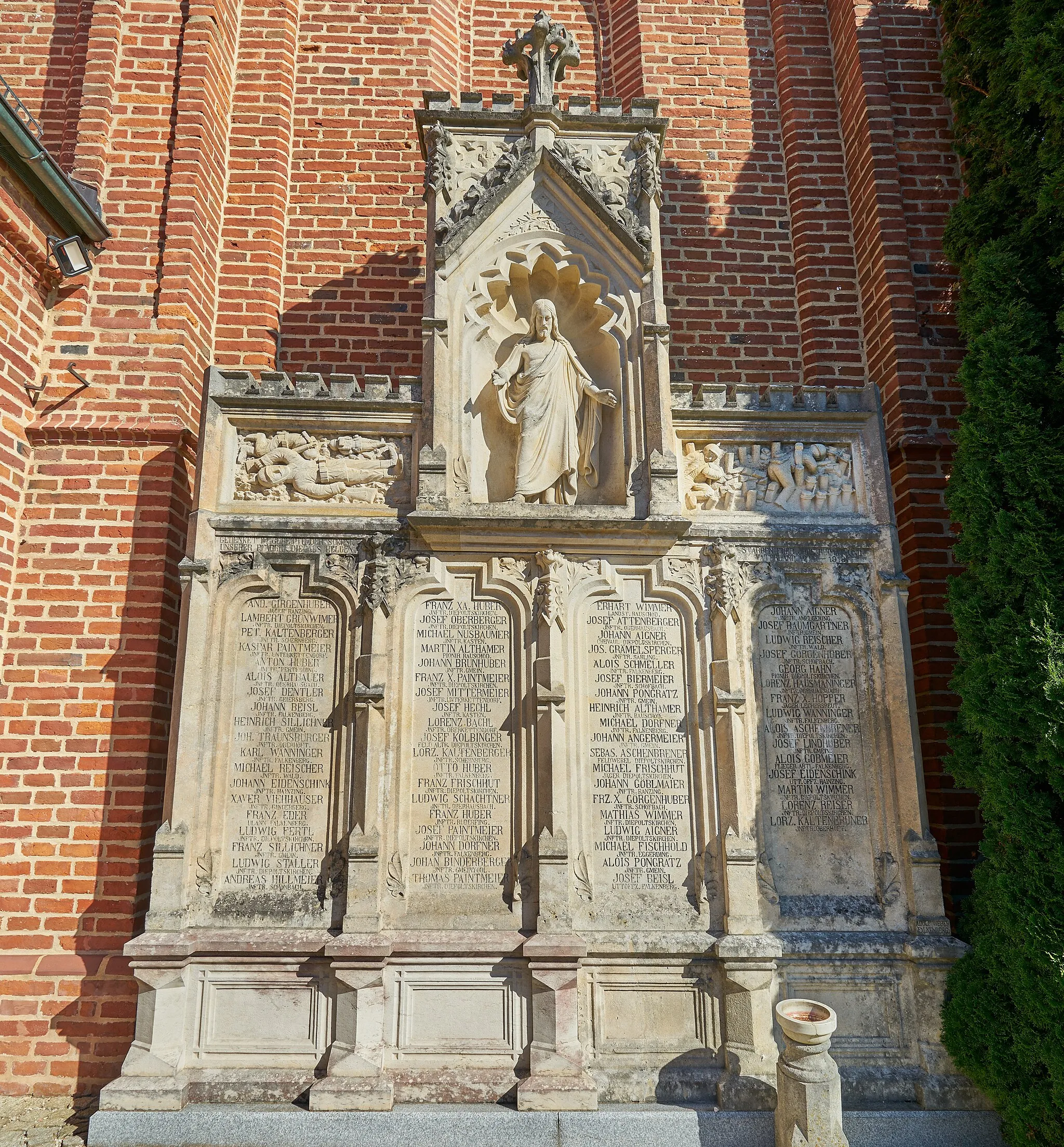
Picturesque village surrounded by peaceful roads and scenic countryside.
Cycling routes from Mitterskirchen
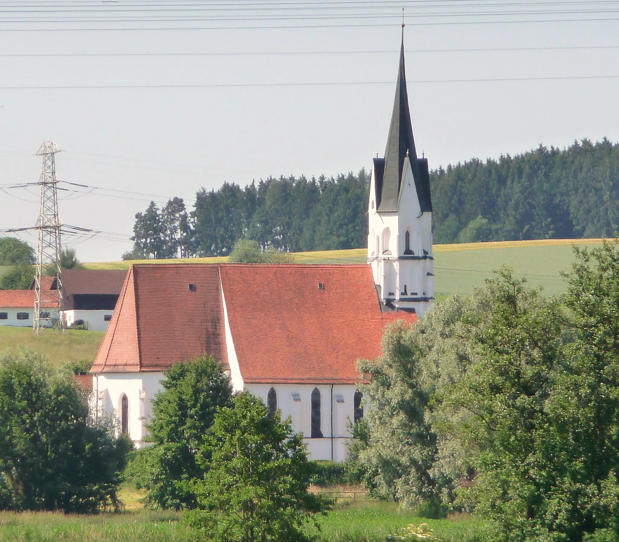
Mitterskirchen is a small village located in the Niederbayern region of Germany. From a cyclist's perspective, it offers a mix of rolling terrain and peaceful roads. The area is surrounded by beautiful countryside, providing scenic views throughout the rides. A noteworthy cycling spot nearby is the Rott Valley Loop, which attracts both road and gravel cyclists. Overall, Mitterskirchen ranks as a 3 in terms of cycling friendliness and is recommended for cyclists looking for enjoyable rides in a serene setting.
Wurmannsquick Circuit
Explore the scenic countryside and visit the charming town of Wurmannsquick.
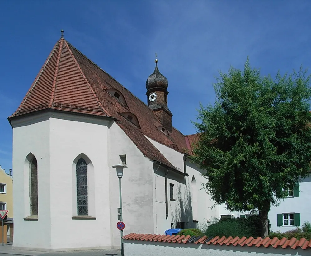
This road cycling route takes you through rolling hills and picturesque villages in Niederbayern. With a total distance of 64 km and an ascent of 552 meters, it offers a moderate challenge for amateur cyclists. The highlight of the route is the town of Wurmannsquick, where you can admire its beautiful historic buildings and enjoy a peaceful break by the river. Overall, this route provides a delightful mix of stunning landscapes, cultural highlights, and enjoyable cycling experience.
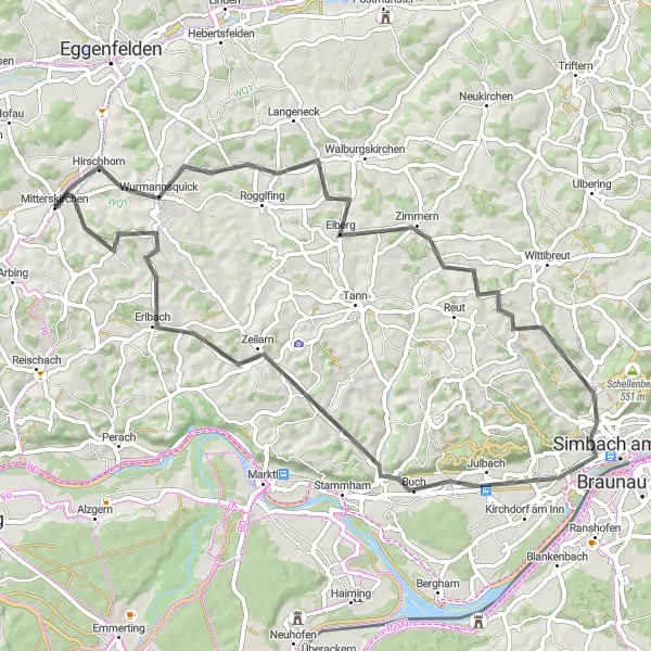
Conquer the challenging Hirschhorn climb on a road cycling tour
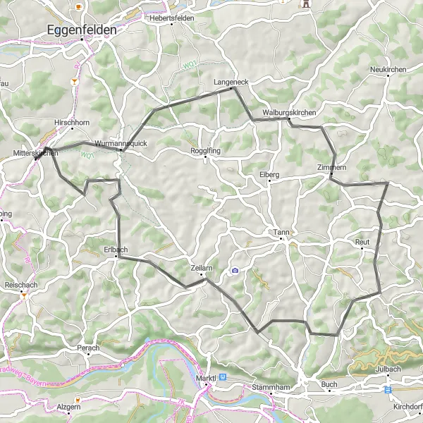
Embark on a 111-km road cycling tour starting from Mitterskirchen and conquer the famous Hirschhorn climb. Pedal through Postmünster, Triftern, Kößlarn, Ering, Weng im Innkreis, Schloßberg, Julbach, Marktl, and return to Mitterskirchen. With a challenging ascent of 922 meters, this tour is only suitable for experienced cyclists seeking a demanding challenge. Prepare to be amazed by the stunning landscapes and awe-inspiring views along the way.
A challenging road tour through beautiful Bavarian landscapes
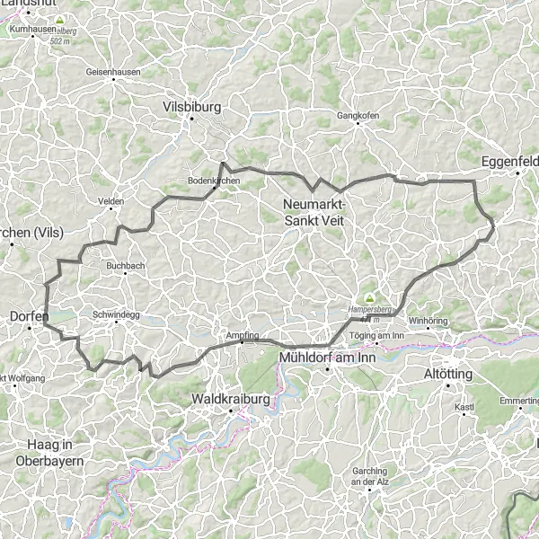
Embark on an exciting cycling adventure starting from Mitterskirchen and covering a distance of 112 km. This road cycling route will take you through Erharting, Ampfing, Obertaufkirchen, Moosen (Vils), Gaindorf, Gangkofen, Unterdietfurt, and back to Mitterskirchen. With a challenging ascent of 726 meters, this tour is only suitable for experienced cyclists. Enjoy breathtaking views of the Bavarian countryside and pedal through picturesque villages and idyllic surroundings.
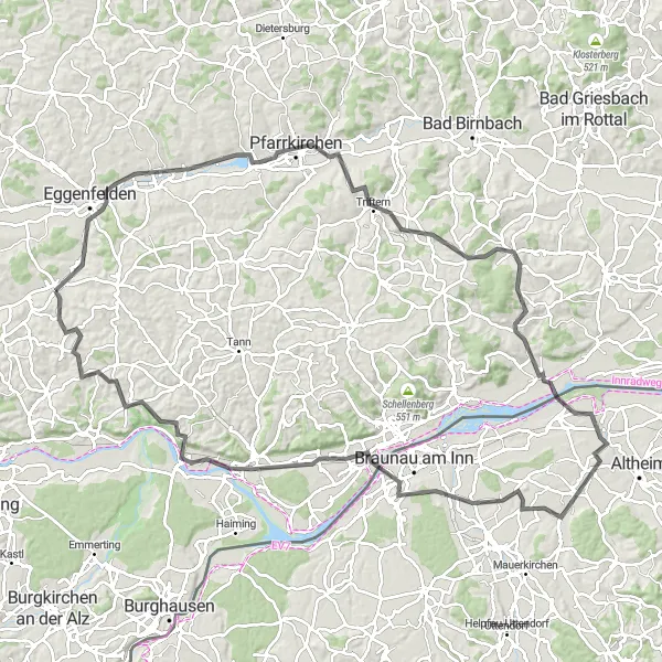
The Rottal Challenge
Conquer the Rottal Valley on a demanding road cycling tour
Embark on an epic 118-km road cycling tour starting from Mitterskirchen and take on the challenging Rottal Valley. Pedal through Erharting, Ampfing, Haun, Wampeltsham, Gebensbach, Egglkofen, Aussichtsturm, Unterdietfurt, and return to Mitterskirchen. With an intense ascent of 1136 meters, this tour is suitable for experienced cyclists seeking a challenging adventure. Enjoy breathtaking views of the Rottal Valley's lush green landscapes and discover hidden gems along the way.
An off-road adventure along the scenic River Inn
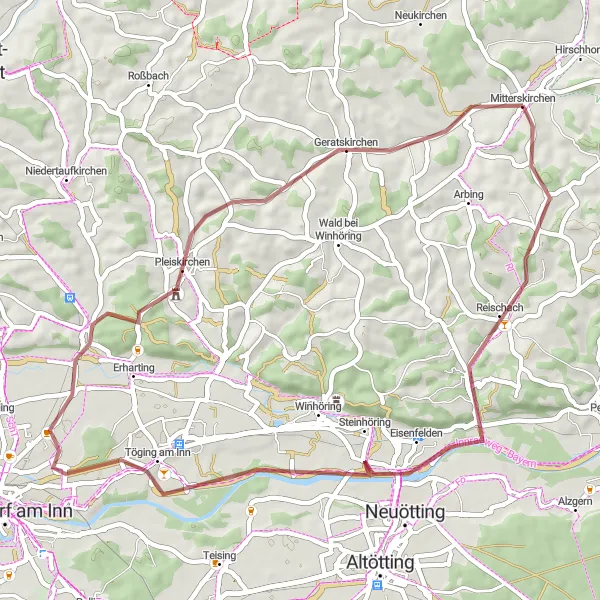
Embark on a 48-km gravel cycling route starting from Mitterskirchen, taking you through Reischach, Töging am Inn, Hampersberg, Pleiskirchen, Geratskirchen, and back to Mitterskirchen. This intermediate-level route offers a moderate ascent of 376 meters and is suitable for gravel bike enthusiasts. Enjoy stunning views of the River Inn as you navigate through the picturesque Bavarian countryside.
Emmerting Explorer
Discover the rich heritage of Emmerting and enjoy a scenic gravel ride.
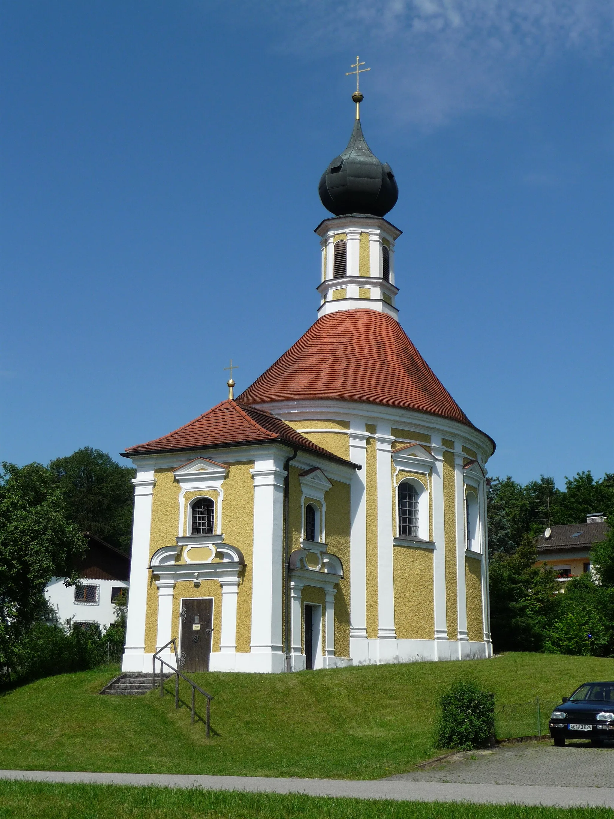
This gravel cycling route takes you through the scenic landscapes of Niederbayern, with a focus on the historic town of Emmerting. Covering a distance of 55 km and featuring an ascent of 547 meters, it offers a moderate challenge for gravel enthusiasts. Emmerting is known for its well-preserved architecture and cultural heritage, making it a worthwhile stop to explore its historic buildings and charming atmosphere. Overall, this route provides a mix of gravel paths, country roads, and cultural highlights, offering a diverse and enjoyable cycling experience.
Embark on an adventurous road cycling journey to Reut.
This road cycling route takes you on a thrilling adventure through the scenic landscapes of Niederbayern. With a total distance of 54 km and an ascent of 665 meters, it's suitable for experienced riders looking for a challenging ride. One of the highlights of the route is Reut, a small village with stunning views over the surrounding hills and valleys. Overall, this route offers a mix of demanding climbs, exhilarating descents, and breathtaking vistas, making it a memorable cycling experience.
An adventurous gravel tour through scenic Bavarian villages
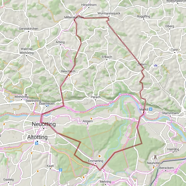
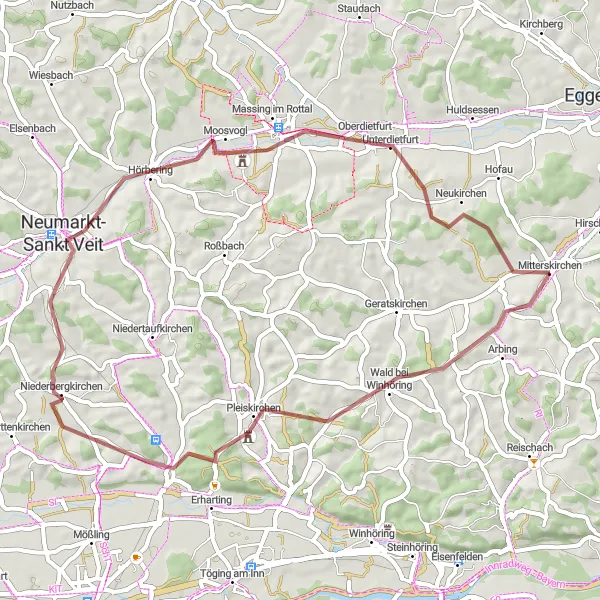
Embark on a 52-km gravel tour starting from Mitterskirchen and discover the hidden gems of Bavarian countryside. Cycle through Pleiskirchen, Niederbergkirchen, Aussichtsturm, Massing im Rottal, and return to Mitterskirchen. With a moderate ascent of 672 meters, this intermediate-level route offers stunning views and a chance to explore charming villages along the way. Get off the beaten path and experience the beauty of rural Bavaria.
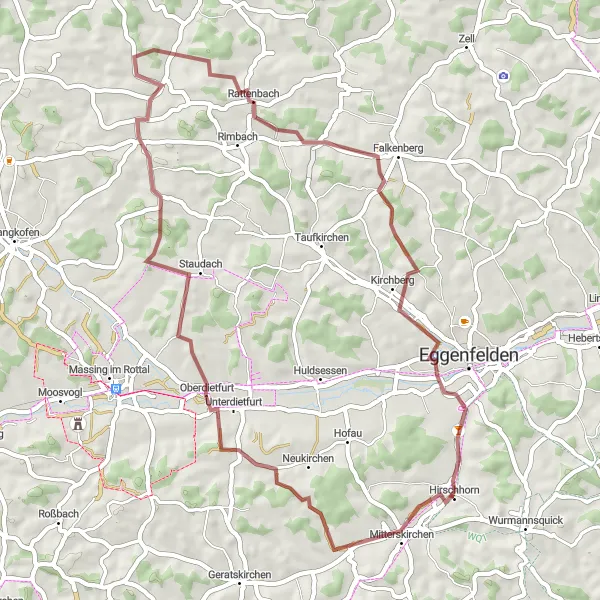
A scenic gravel route with highlights in Unterietfurt, Reicheneibach, Falkenberg, and Niederndorf.
This scenic round-trip cycling route near Mitterskirchen takes you through picturesque landscapes and charming villages. Starting in Unterietfurt, the route leads you to Reicheneibach, where you can enjoy breathtaking views of the countryside. As you continue to Falkenberg, you'll pass by historical landmarks and beautiful meadows. The highlight of the route is the village of Niederndorf, with its charming architecture and cozy cafes. Overall, this route is moderately difficult, suitable for well-trained amateur cyclists. It offers a fantastic mix of nature and cultural heritage, making it a memorable experience for cycling enthusiasts.
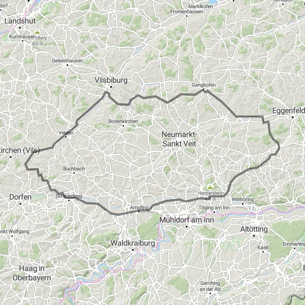
Mitterskirchen Loop
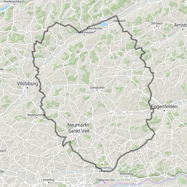
Ride through picturesque countryside and charming villages
Discover the beauty of Niederbayern as you cycle on this diverse loop starting near Mitterskirchen. The route takes you through rolling hills, scenic landscapes, and historic towns, offering a great mix of nature and culture. You'll pass through Erharting, Schönberg, Lichtenhaag, Frontenhausen, Reisbach, Falkenberg, and finally return to Mitterskirchen. With a distance of 123 km and an ascent of 1394 meters, this road cycling route is of medium difficulty and suitable for well-trained amateurs. It offers a great adventure off the beaten track in Bavaria.
Cycling routes nearby:

Nearby regions: