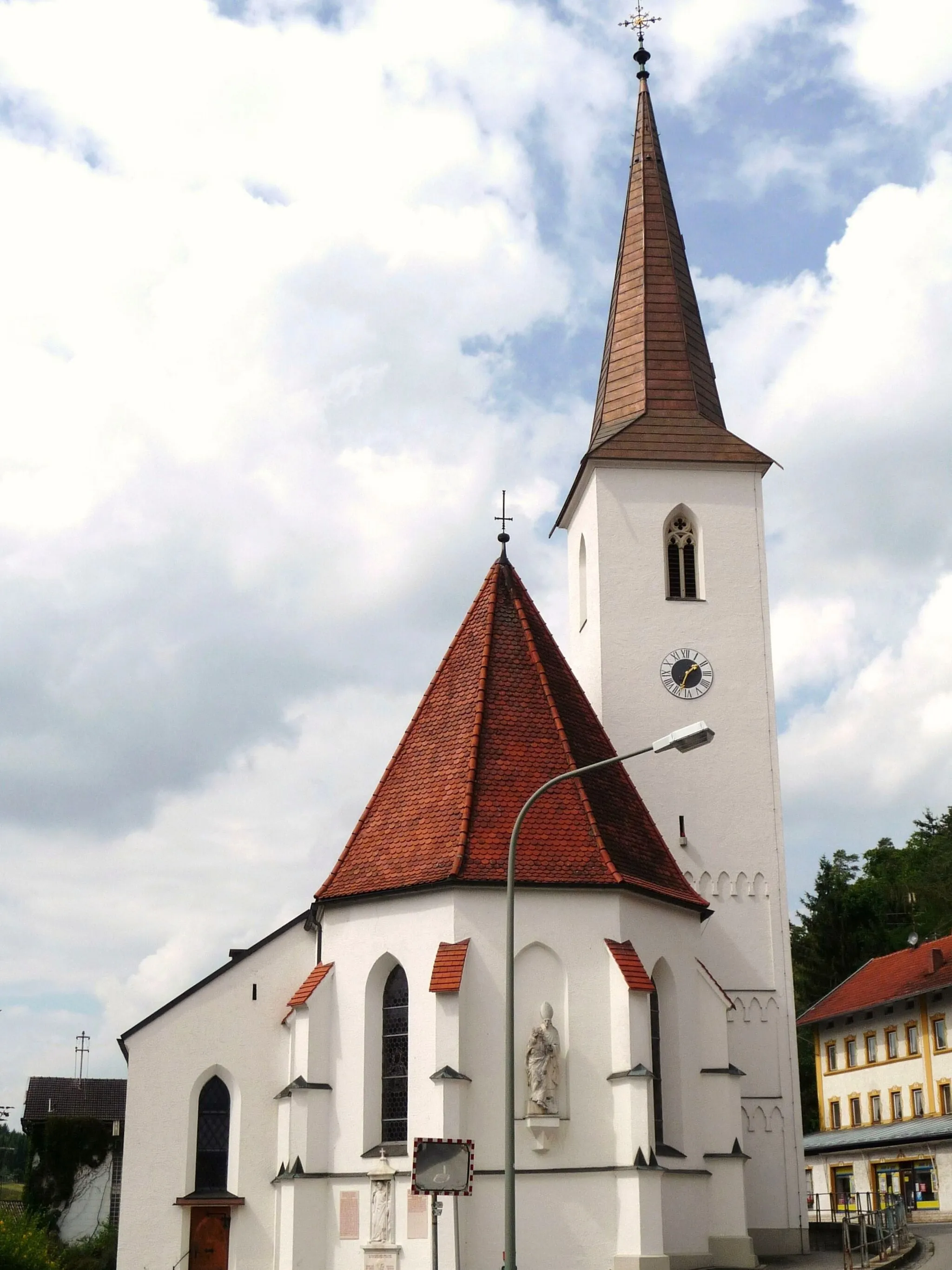
Discover scenic tranquility in Niederbayern
Cycling routes from Zeilarn
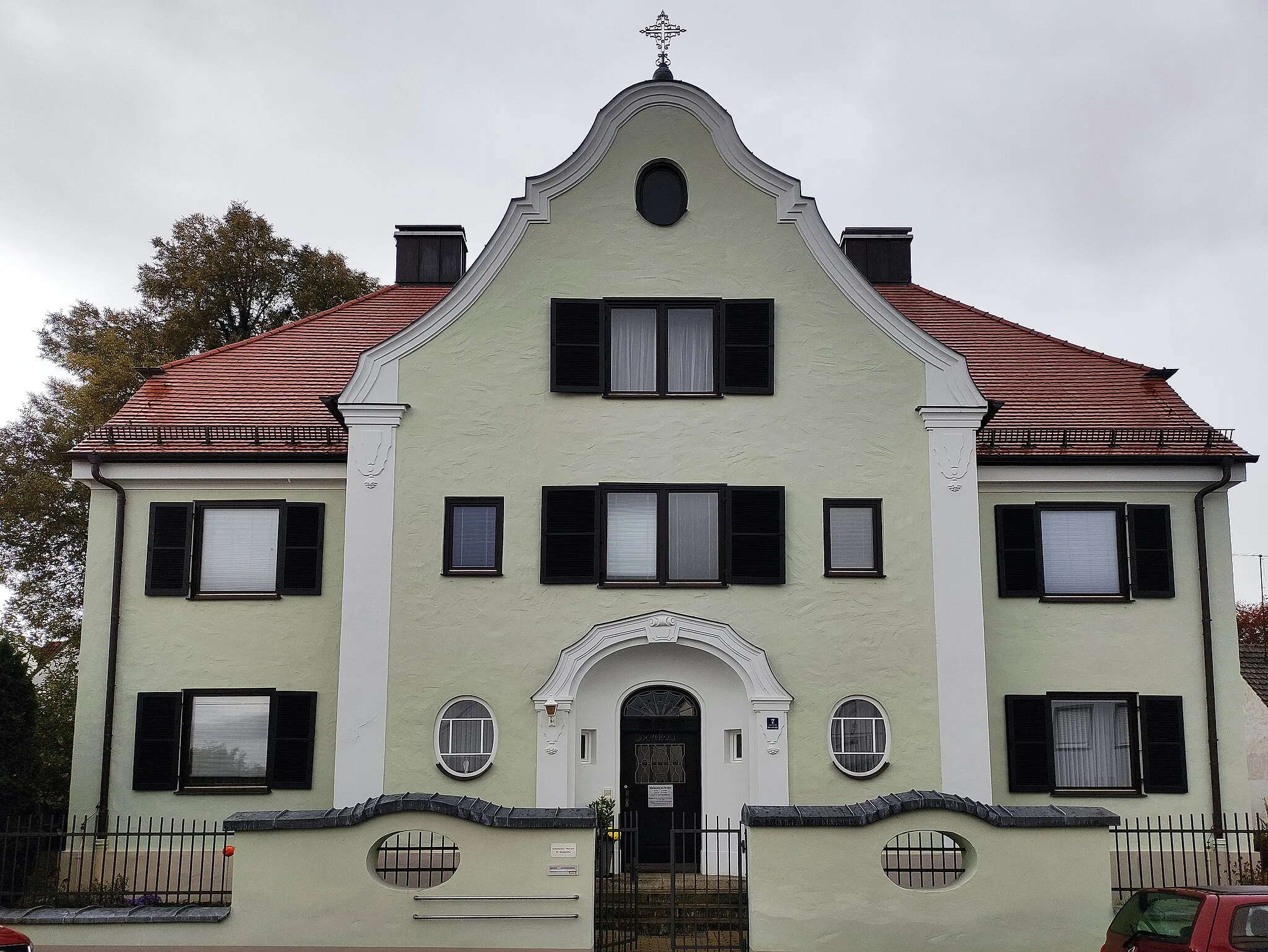
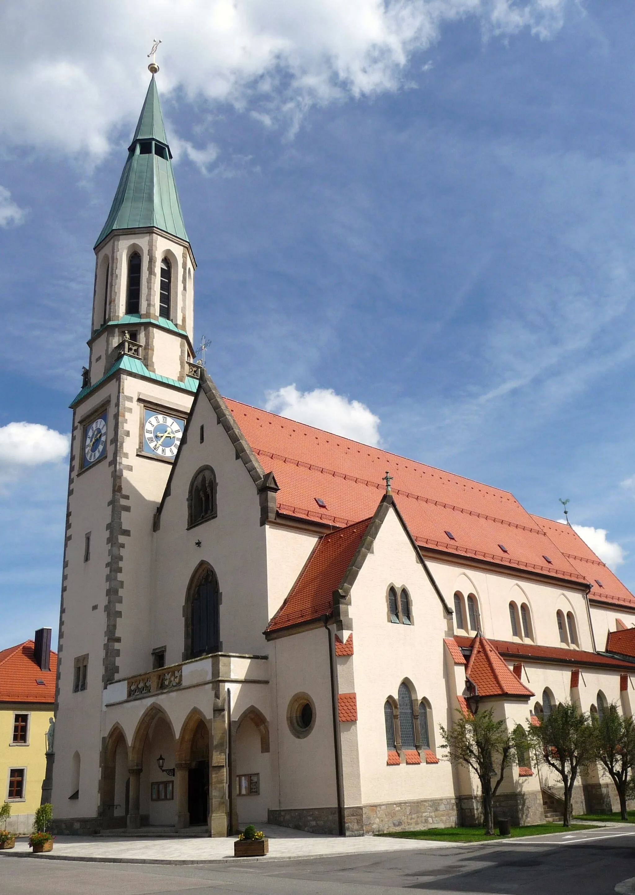
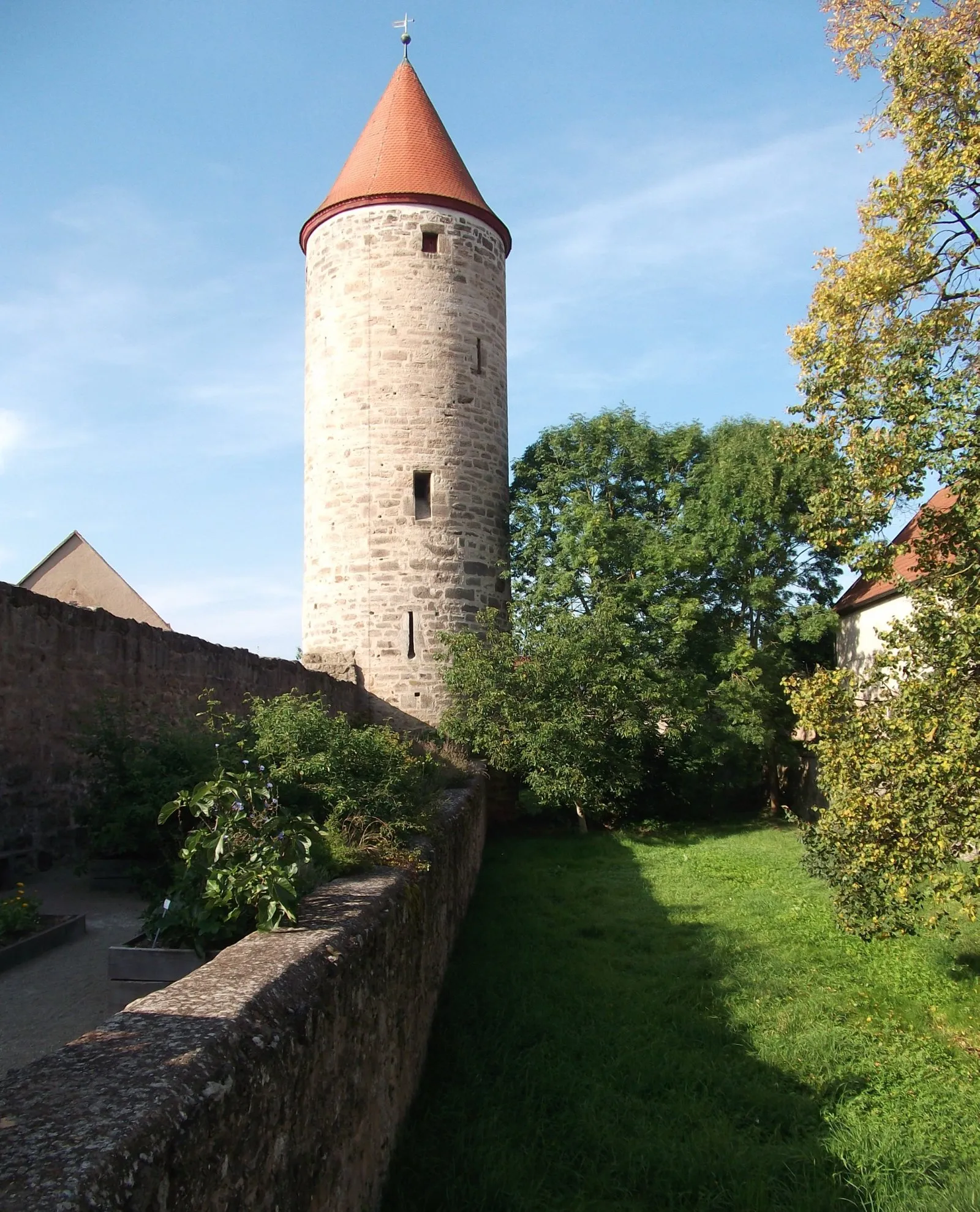
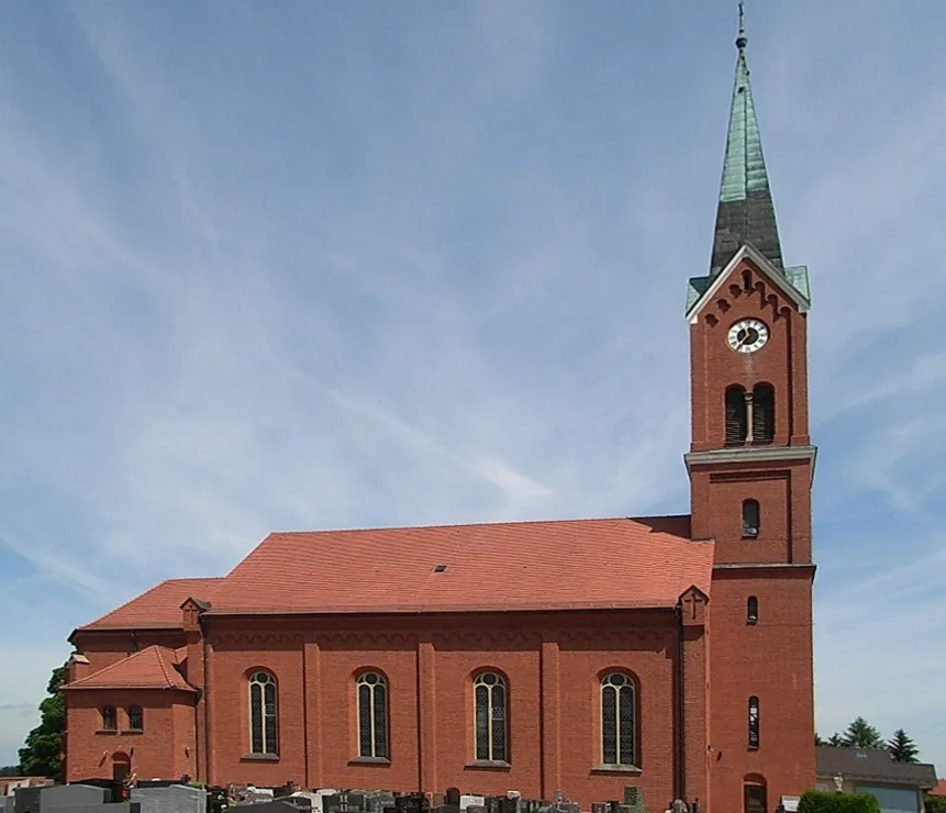
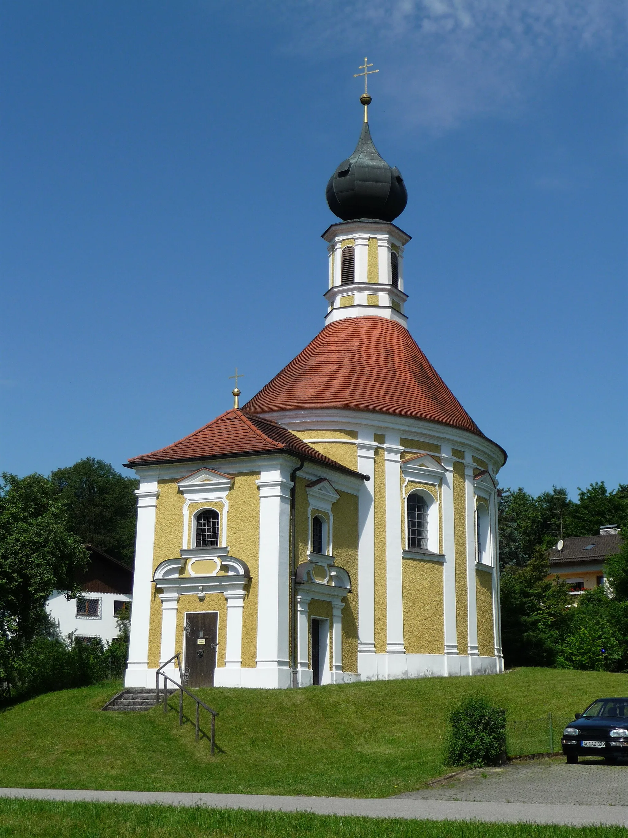
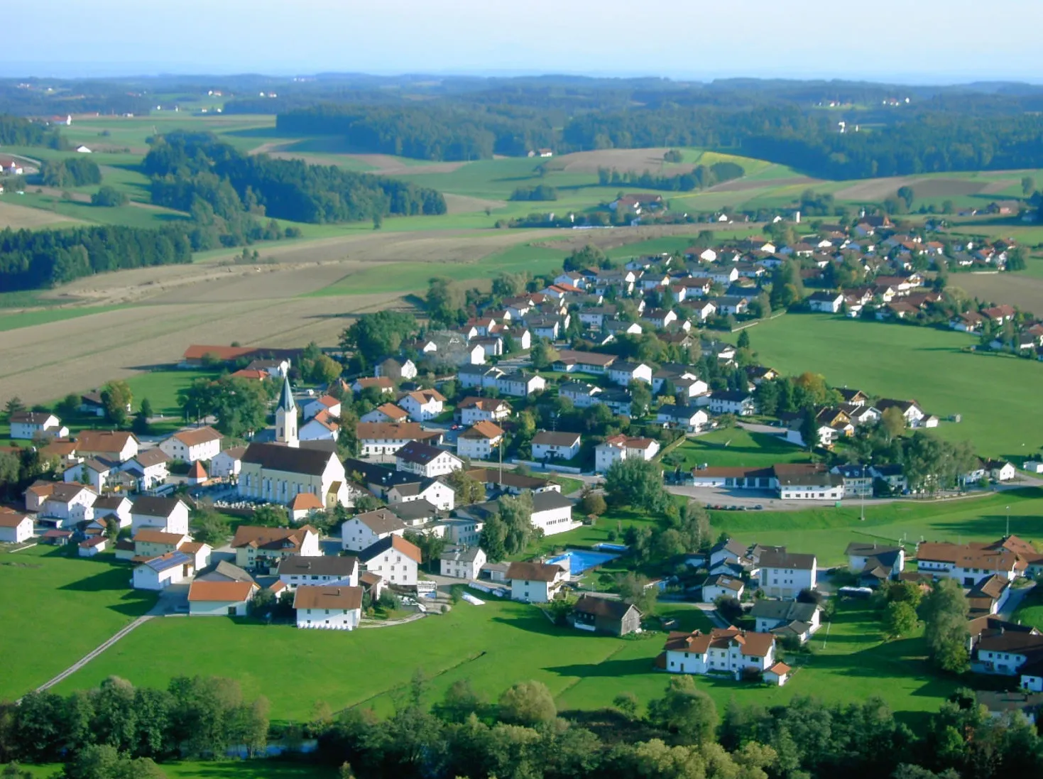
Zeilarn is a cyclist-friendly locality in Niederbayern, Germany. With picturesque countryside roads and a peaceful atmosphere, Zeilarn beckons road and gravel cyclists to explore its surroundings. For those seeking a challenge, the Rottal Inn area offers hilly terrains and scenic climbs. Cyclists can also enjoy the region's tranquil villages and well-marked cycling routes, offering a diverse range of options for both leisurely rides and challenging adventures.
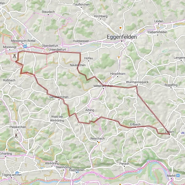
Embark on an exhilarating gravel exploration around Zeilarn's outskirts
Get ready for an adventurous gravel ride through the scenic landscapes near Zeilarn. This 53 km route includes 631 meters of ascent and takes you through highlights such as Arbing, Geratskirchen, and Wurmannsquick, offering diverse terrain and a sense of discovery.
Scenic Adventure near Zeilarn
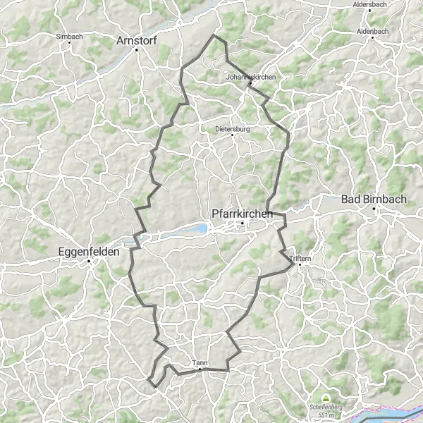
Embark on a scenic adventure and discover the wonders of nature near Zeilarn
Experience the beauty of the natural landscapes surrounding Zeilarn on this 90 km road cycling route, featuring 1,146 meters of ascent. Highlights along the way include Hebertsfelden, Schönau, and Triftern, providing breathtaking views and opportunities for outdoor enthusiasts.
Cultural Excursion from Zeilarn
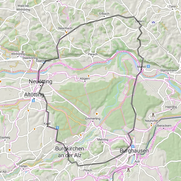
Immerse yourself in heritage and culture on this road cycling tour near Zeilarn
Discover the rich cultural heritage of the region on this 56 km road cycling route, featuring 497 meters of ascent. Highlights along the route include Marktl, Burghausen, and Altötting, offering historical sites and a glimpse into Bavarian traditions.
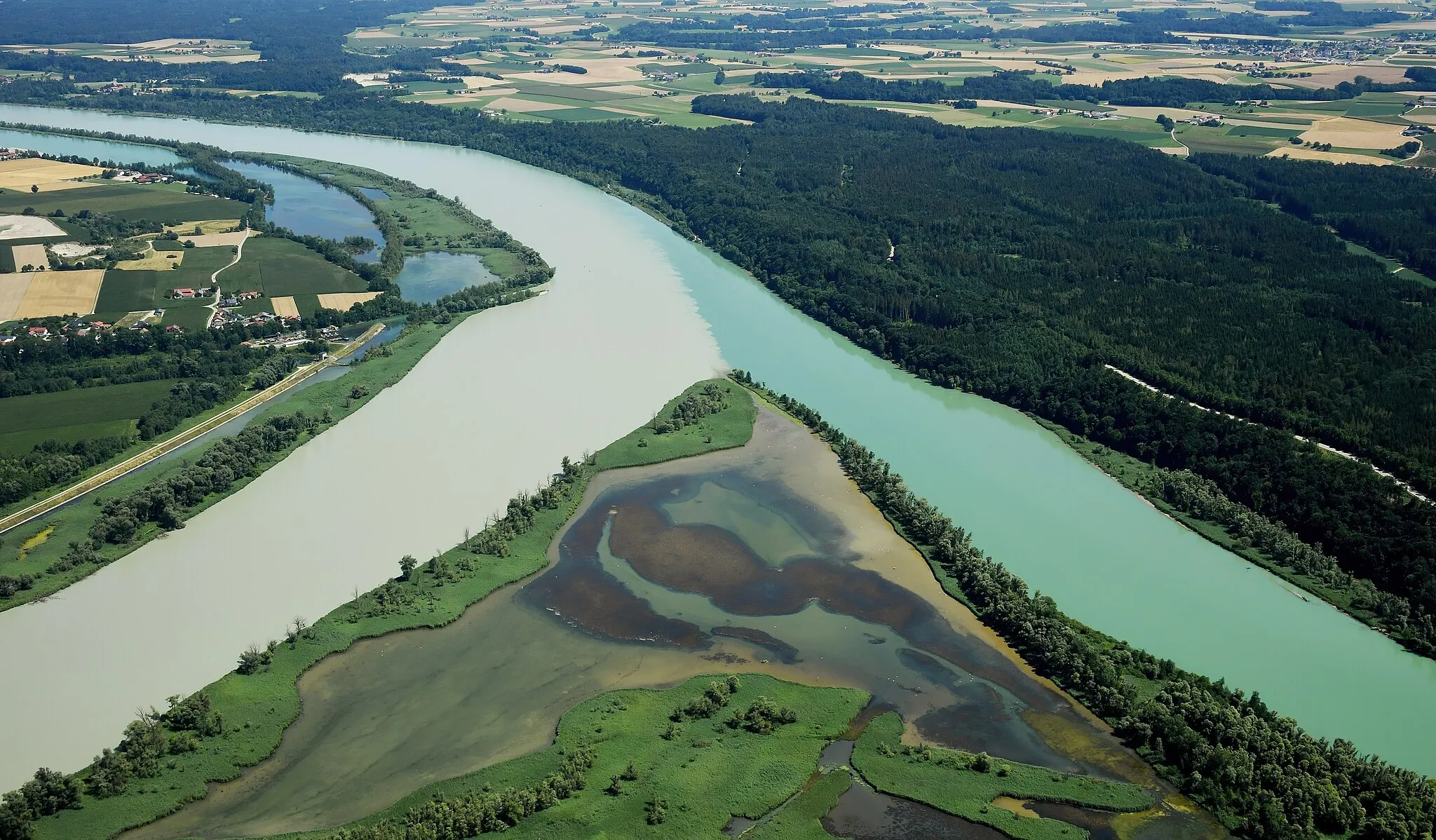
Inn River Adventure
Embark on an adventurous ride along the beautiful Inn River, passing charming towns and stunning landscapes.
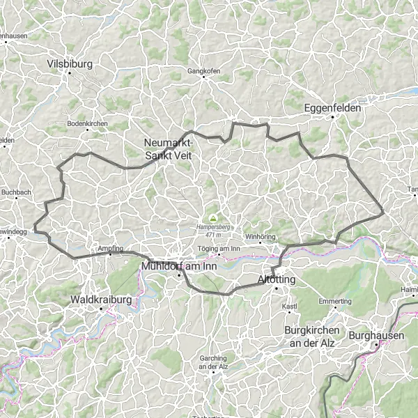
The Inn River Adventure is an exciting cycling route that follows the picturesque Inn River and takes you through charming towns and stunning landscapes. With a distance of 112 kilometers and an elevation gain of 888 meters, this route offers a challenging yet rewarding biking experience. The difficulty level of this route is rated as 4 out of 5, suitable for well-trained amateurs looking for a demanding ride. The epicness of this route is rated as 3 out of 5, making it an exhilarating adventure for cycling enthusiasts.
Simbach Gravel Adventure
Embark on a gravel adventure through the beautiful countryside near Simbach am Inn.
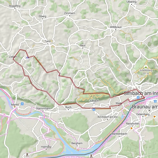
The Simbach Gravel Adventure is a unique cycling route that takes you through the stunning countryside near Simbach am Inn. This gravel route offers a mix of scenic landscapes, quiet country roads, and challenging off-road sections. With a distance of 40 kilometers and an elevation gain of 517 meters, it is suitable for well-trained amateurs who enjoy off-road cycling. The epicness level of this route is rated 3 out of 5, making it an exciting and memorable adventure for gravel enthusiasts.
Gravel Adventure near Zeilarn
Embark on a thrilling gravel adventure around Zeilarn and its surroundings
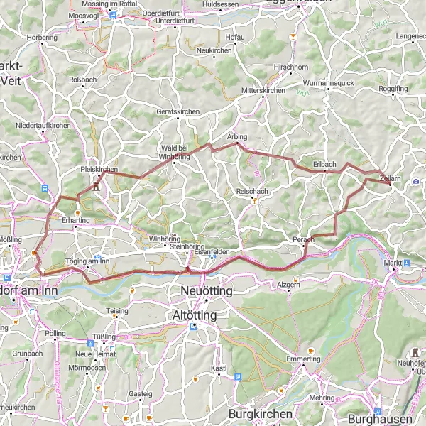
This gravel cycling route covers a distance of 59 km and includes 649 meters of ascent. Get off the beaten path and explore the rugged nature and quieter roads near Zeilarn. Highlights along the route include Perach, Töging am Inn, and Pleiskirchen, offering diverse landscapes and a sense of adventure.
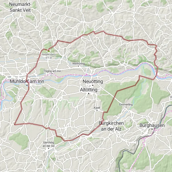
Rottal Loop
Cycle through the picturesque Rottal region with charming villages and beautiful landscapes.
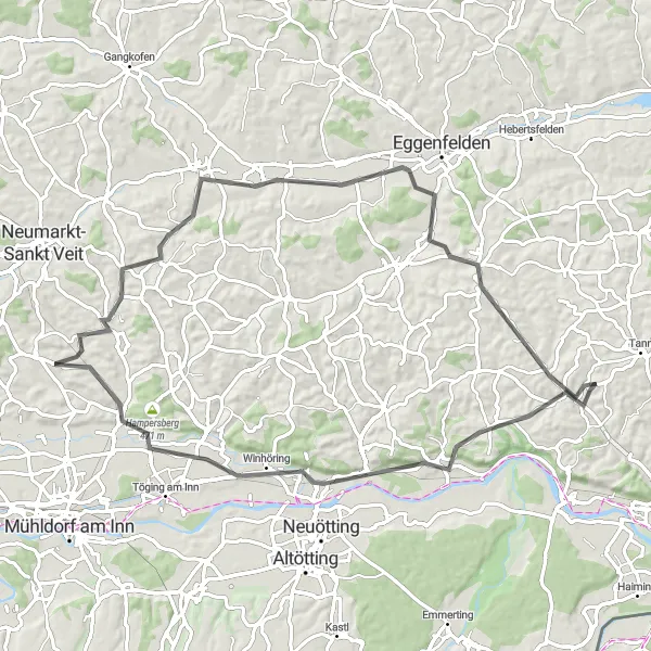
The Rottal Loop is a scenic cycling route that takes you through the charming Rottal region in Niederbayern. The route is known for its beautiful landscapes, charming villages, and gentle rolling hills. It offers a great mix of picturesque countryside and cultural highlights along the way. The difficulty level of this route is moderate, suitable for moderately trained amateurs. With a distance of 73 kilometers and an ascent of 681 meters, it provides a challenging yet enjoyable cycling experience. The epicness of this route is rated 3 out of 5, making it an excellent choice for riders looking for a scenic and moderately challenging ride.
Zeilarn and Beyond
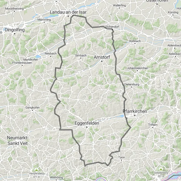
Cycle through picturesque landscapes and charming towns near Zeilarn
Explore the beautiful countryside around Zeilarn, with its rolling hills and charming villages. This road cycling route covers a distance of 122 km and includes 1,588 meters of ascent. The route takes you through highlights such as Zeilarn, Unterdietfurt, and Haberskirchen, offering scenic views and opportunities to discover the local culture.
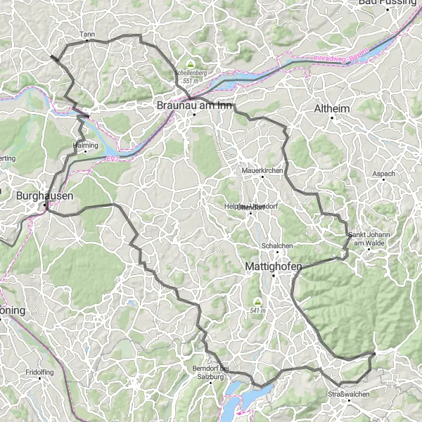
Embark on a challenging ride around the scenic Inn-Salzach region, passing through historic towns and spectacular viewpoints.
The Inn-Salzach Circuit is a challenging cycling route that takes you around the scenic Inn-Salzach region. With a distance of 152 kilometers and an elevation gain of 1616 meters, this route offers a true test of endurance for well-trained amateurs. The route passes through historic towns, offers stunning viewpoints, and showcases the beauty of the surrounding countryside. The difficulty level of this route is rated as 5 out of 5, making it a true challenge for experienced cyclists. The epicness of this route is rated as 4 out of 5, with a combination of breathtaking landscapes and cultural highlights along the way.
Zeilarn Gravel Explorer
Get off the beaten path and explore the gravel roads around Zeilarn, enjoying the peaceful nature and scenic landscapes.
The Zeilarn Gravel Explorer is a fantastic cycling route that takes you off the beaten path and explores the scenic gravel roads around Zeilarn. With a distance of 85 kilometers and an elevation gain of 899 meters, this gravel adventure offers a moderate challenge for well-trained amateurs. The route showcases the tranquil nature and beautiful landscapes of the region, making it a great choice for nature lovers. The difficulty level of this route is rated as 3 out of 5, suitable for experienced cyclists looking for a satisfying off-road ride. The epicness of this route is rated as 3 out of 5, promising a scenic and enjoyable gravel cycling experience.
Cycling routes nearby:


Nearby regions: