Cycling exploration awaits in Plattling, Germany
Cycling routes from Plattling
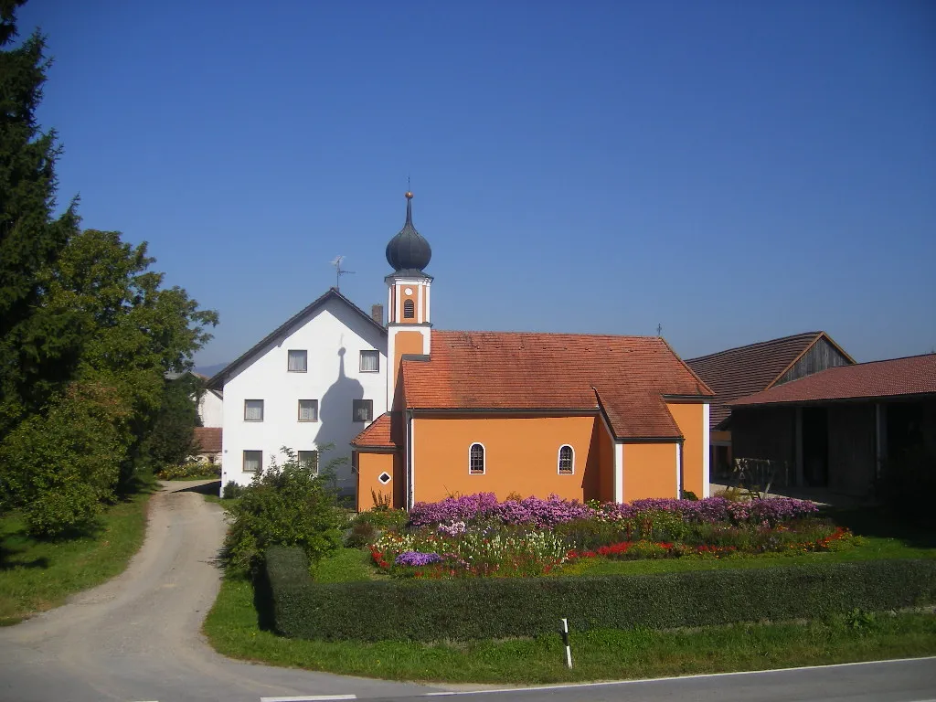
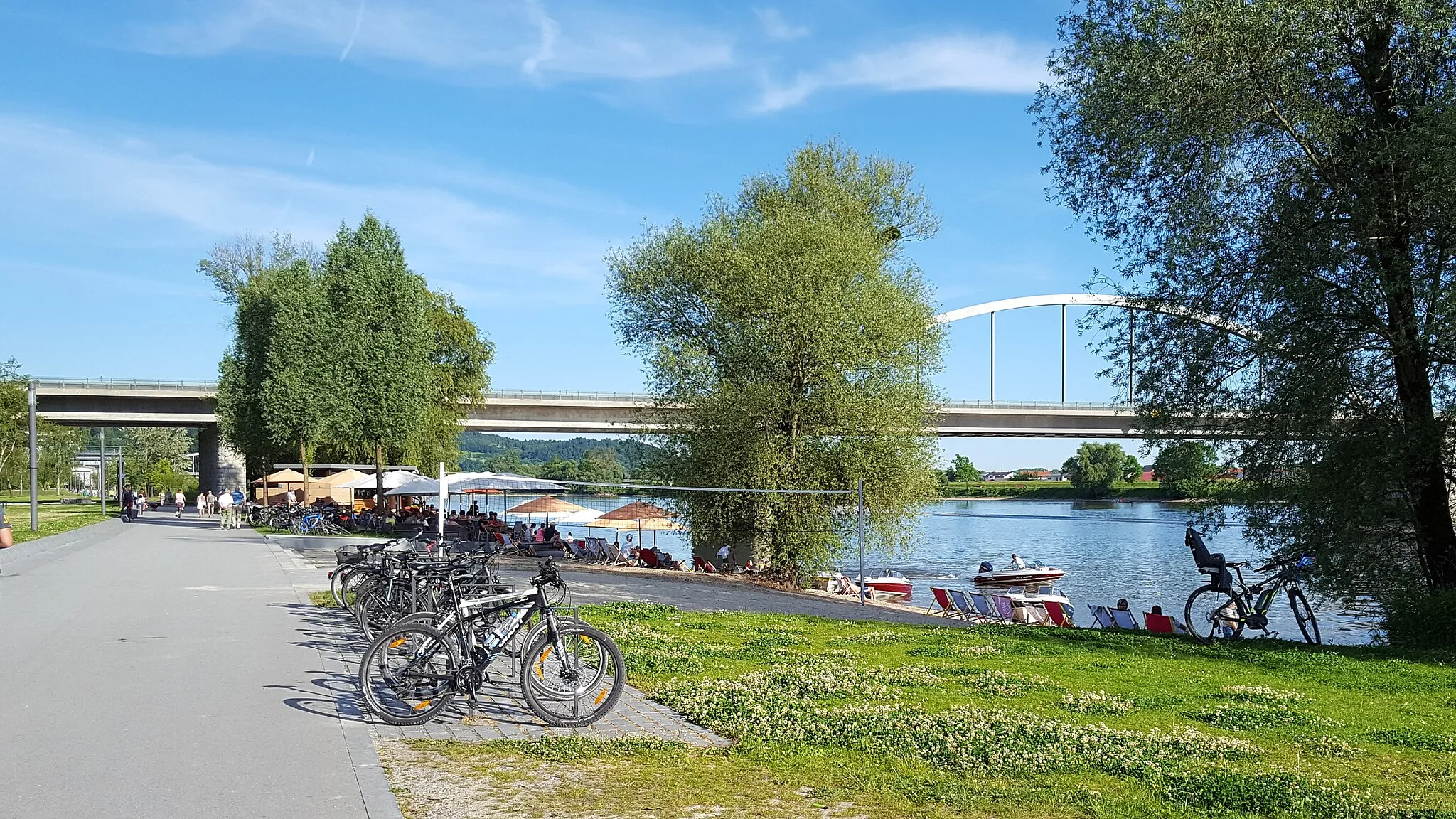
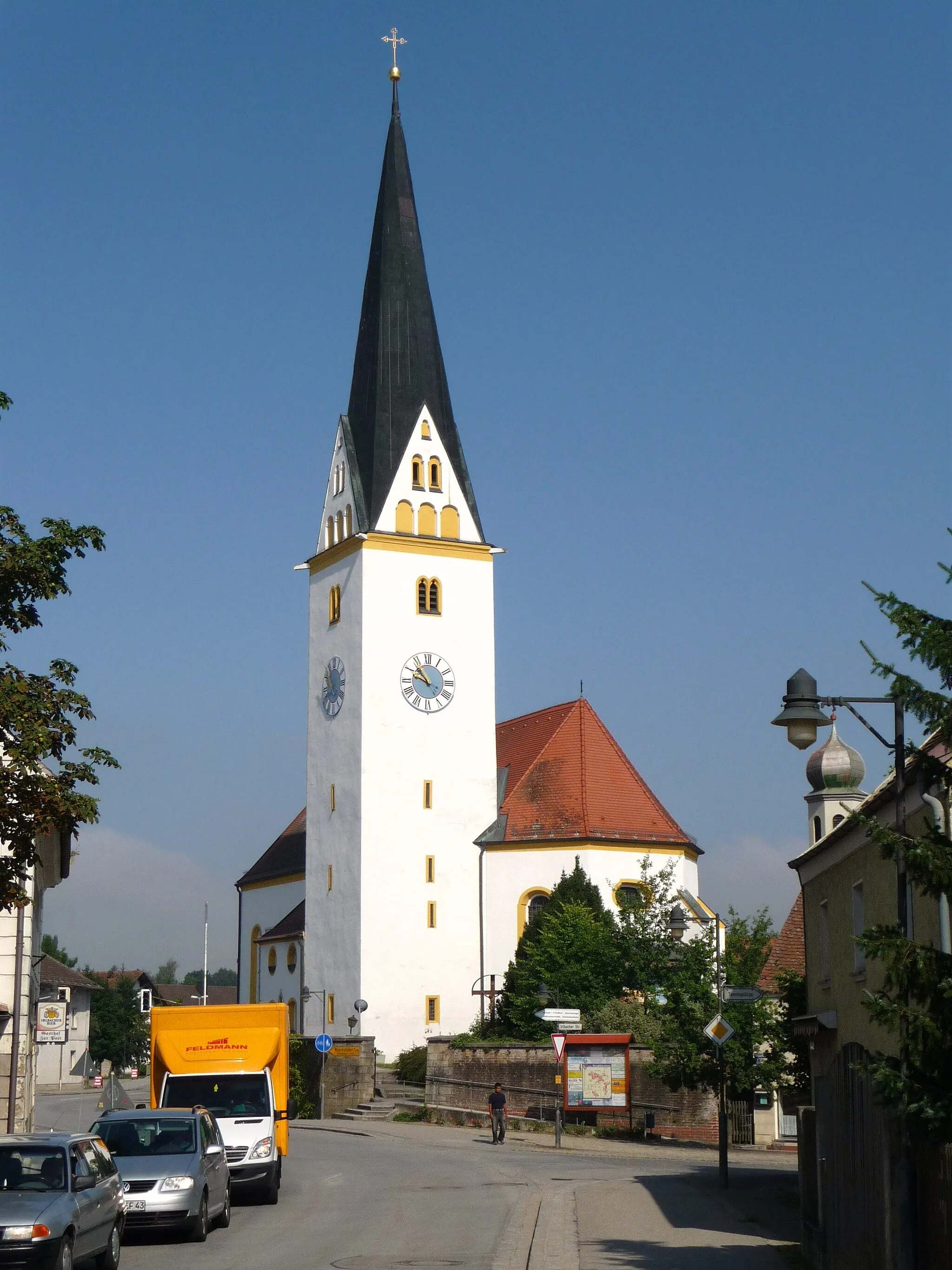
Plattling, located in the Niederbayern region of Germany, is a cycling-friendly area offering a range of routes for road and gravel cyclists. The locality provides peaceful countryside landscapes and well-maintained roads that cater to cyclists of all abilities. Plattling is a great starting point to explore the Danube cycle path, which spans several countries and offers stunning views along the river. Nearby, you'll find the popular climb of Brotjacklriegel, a challenging ascent that rewards riders with panoramic vistas. With its cycling infrastructure and diverse routes, Plattling is an ideal destination for a cycling adventure in Germany.
Hidden Gems of Niederbayern
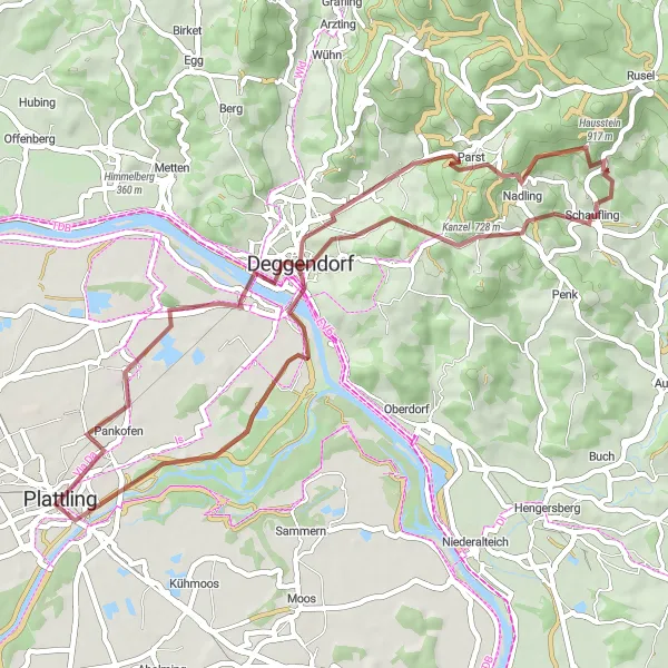
Discover the hidden gems of Niederbayern on this scenic gravel route
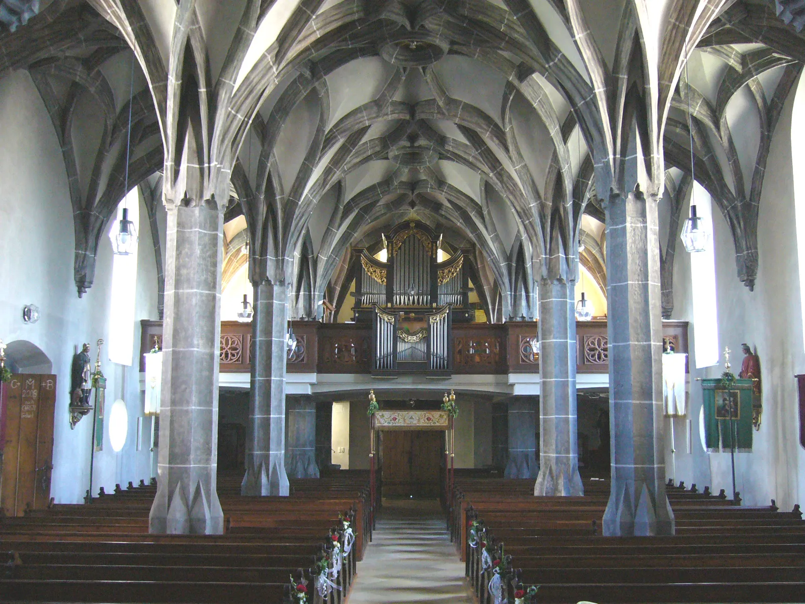
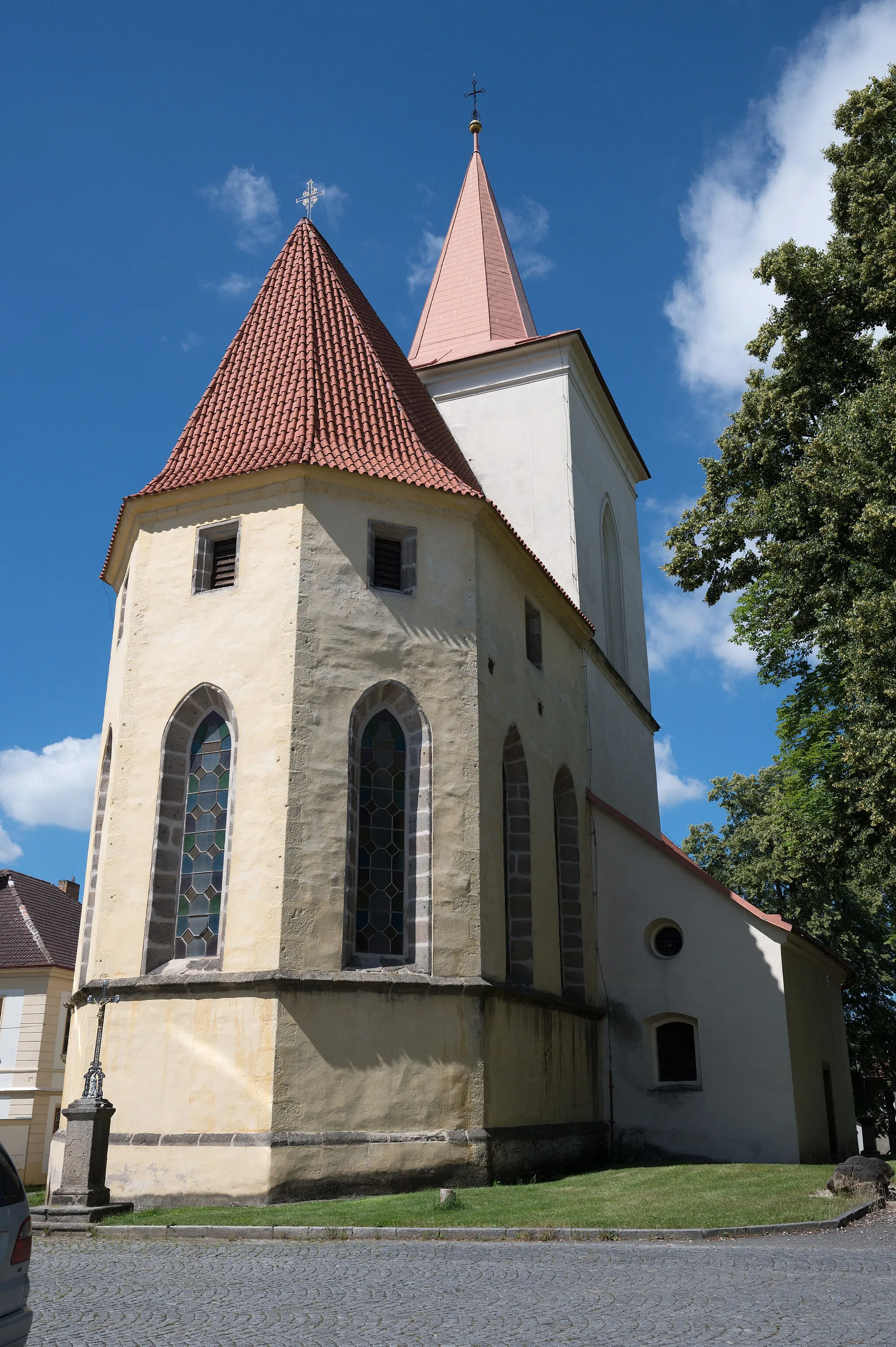
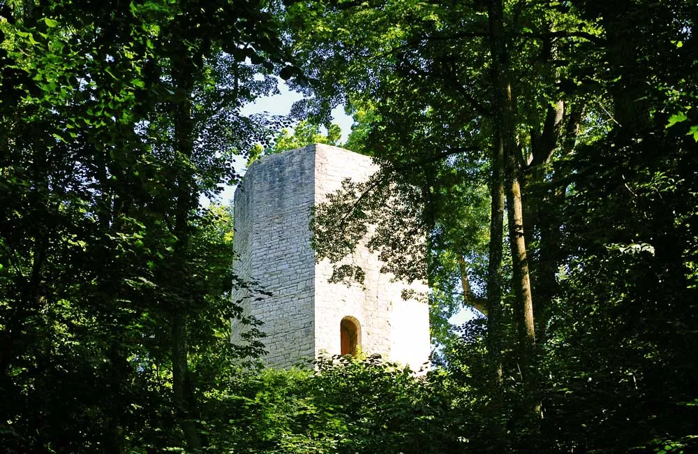
Uncover the hidden gems of Niederbayern on this scenic gravel cycling route starting near Plattling. With a moderate level of difficulty, this 47km route will take you through charming towns, historical landmarks, and beautiful natural landscapes. Highlights include Geiersberg, Altes Rathaus in Geißberg, Steinbichel, and the Alte Stadtmauer in Schaufling. This route provides a unique opportunity to explore the beauty and cultural heritage of Niederbayern.
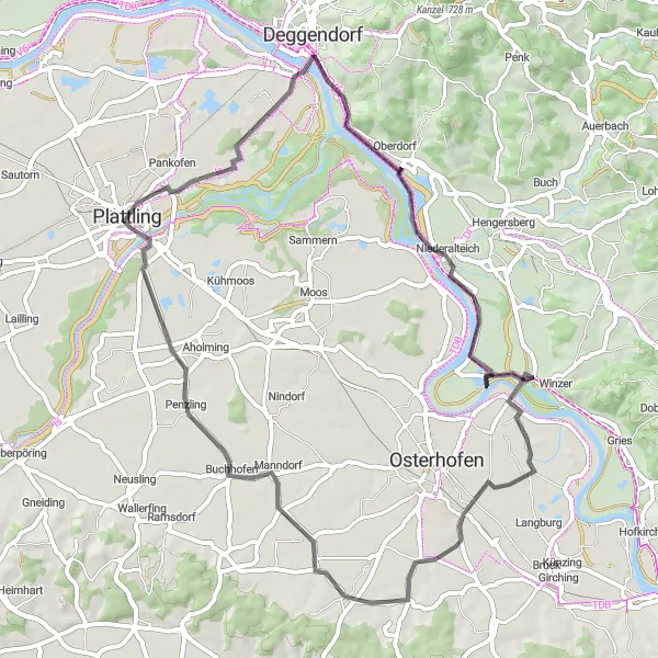
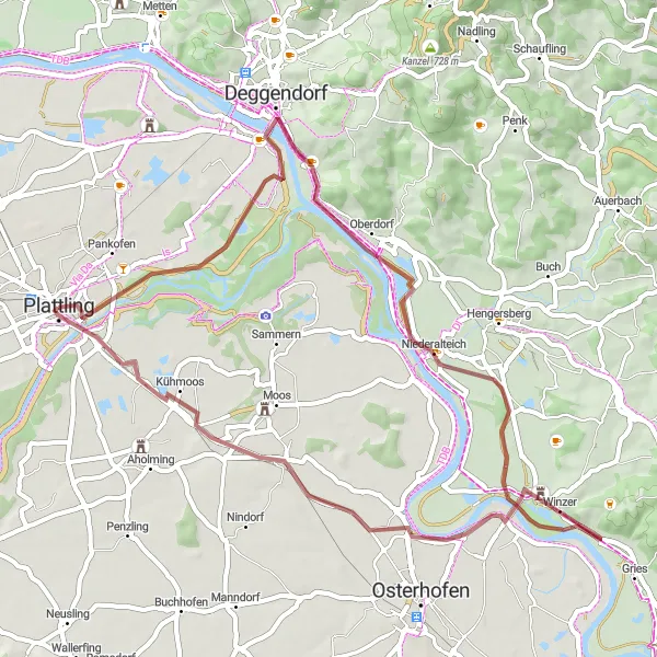
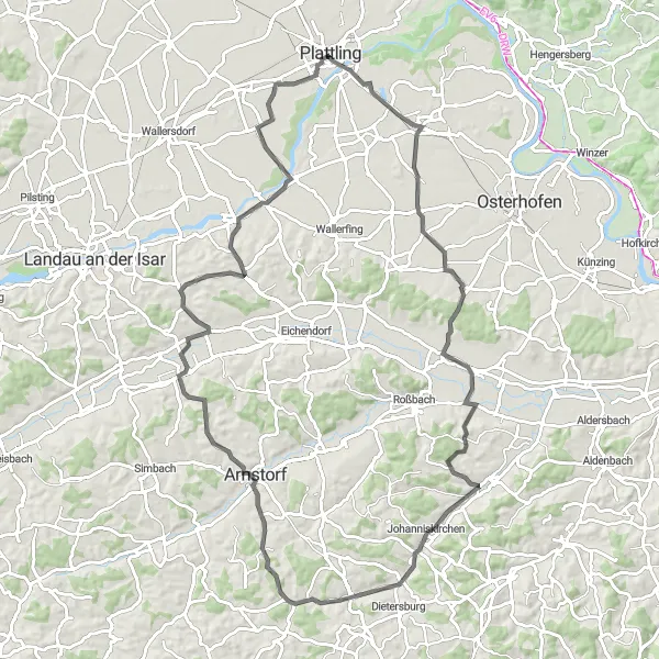
Explore the scenic route from Plattling to Niederalteich
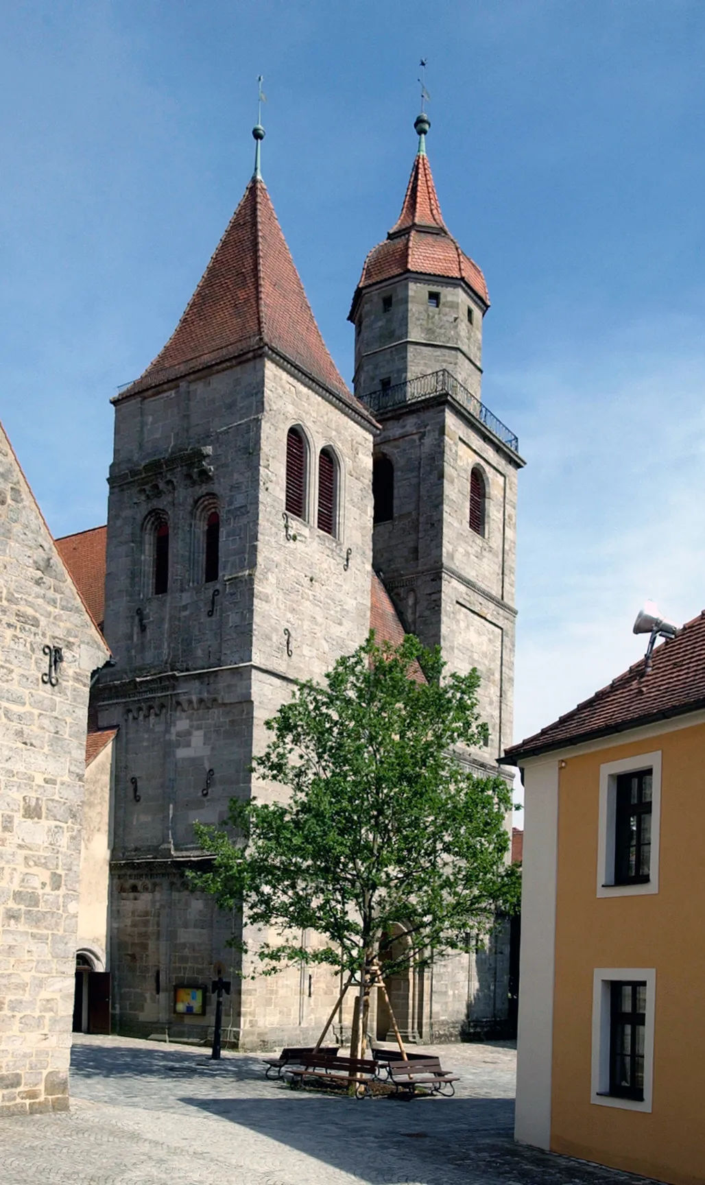
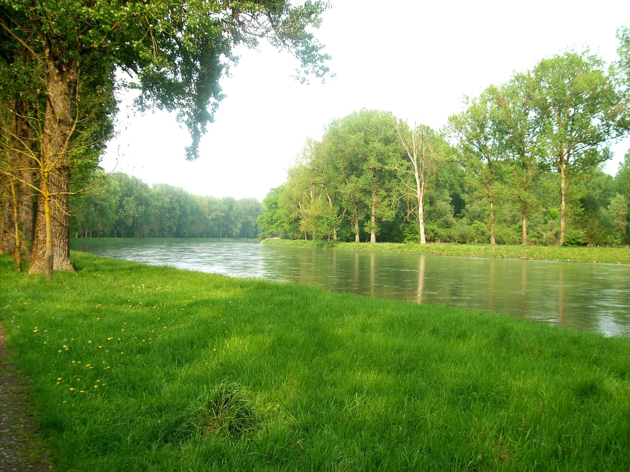
Embark on a delightful journey from Plattling to Niederalteich as you cycle through charming Bavarian villages. This 58-kilometer route features a manageable ascent of 73 meters, making it suitable for all skill levels. Highlights include Geiersberg, Niederalteich, and Obergessenbach, where you can enjoy beautiful river views.
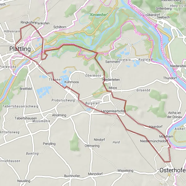
A scenic route combining historical landmarks and beautiful natural scenery
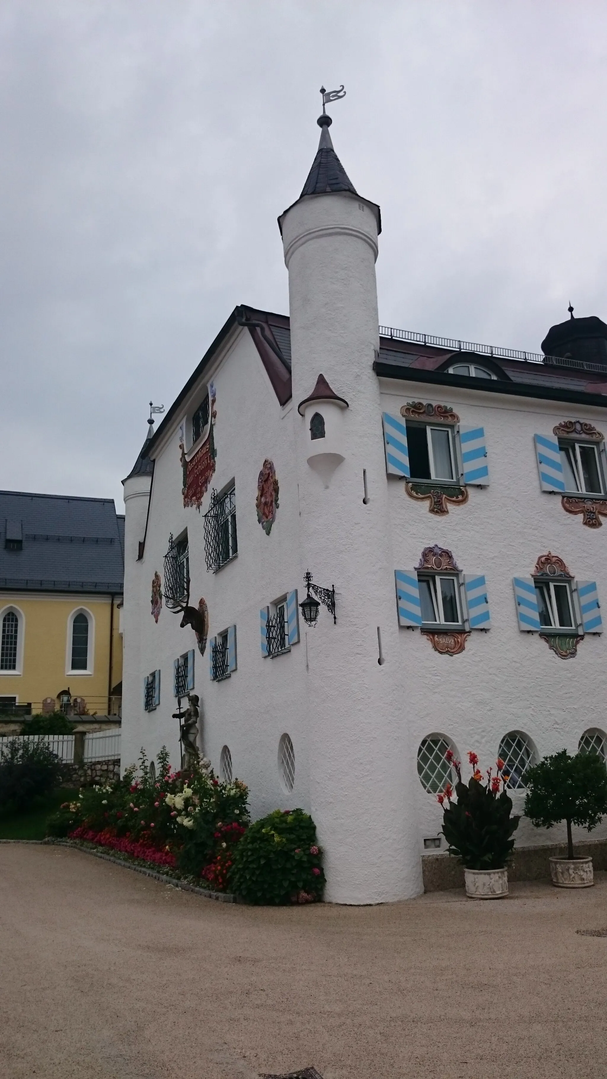
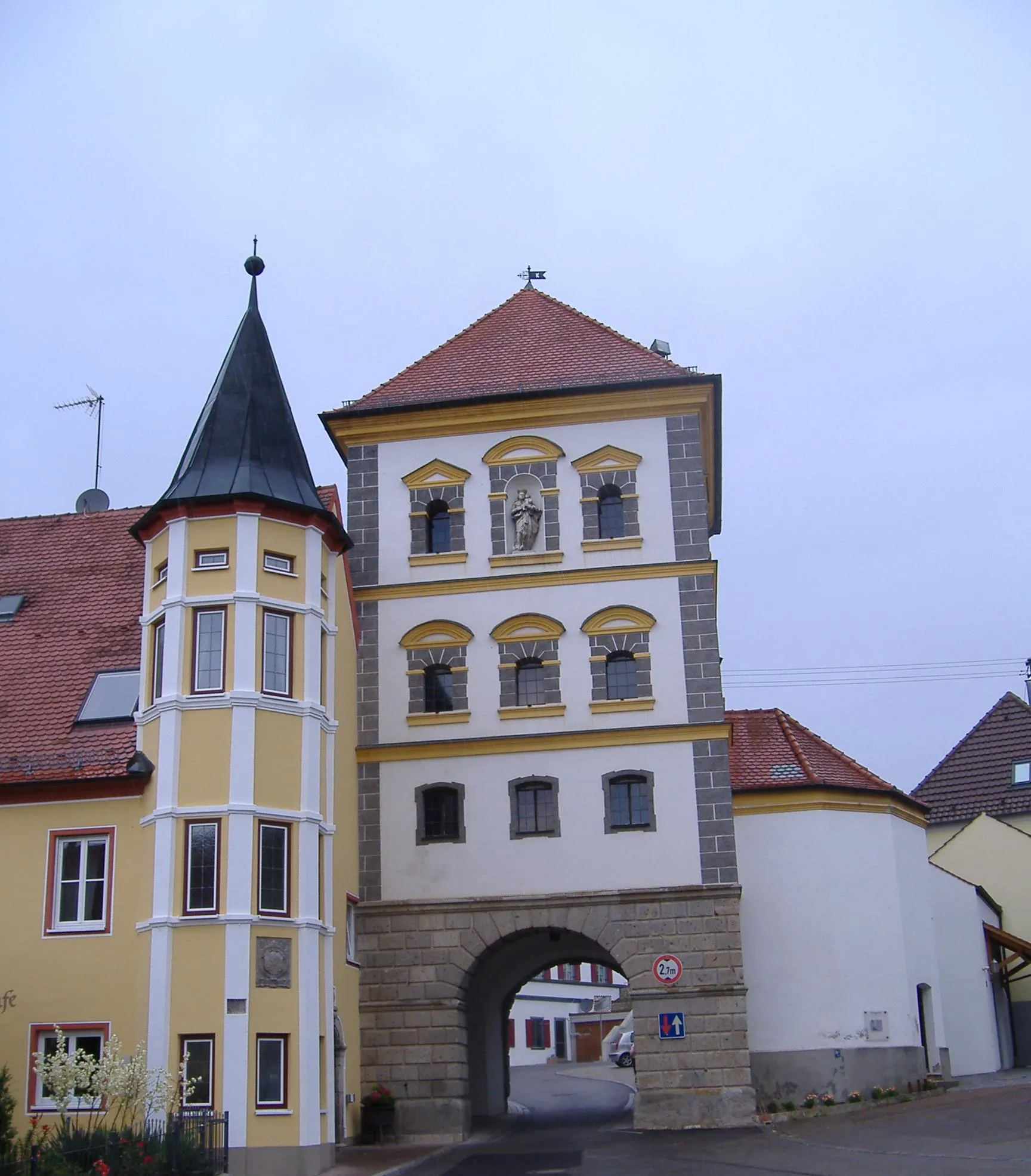
Enjoy a scenic gravel ride near Plattling, discovering historical landmarks and beautiful natural scenery. With a distance of 36km and only 31m of ascent, this route is perfect for a leisurely ride. Highlights include Schloss Moos, Langenisarhofen, and Plattling itself. Immerse yourself in the history and beauty of Niederbayern on this captivating cycling journey.
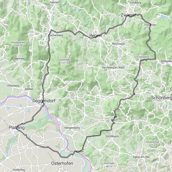
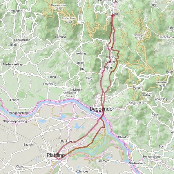
Embark on an epic adventure from Plattling to Habichtstein
Prepare for an unforgettable cycling experience from Plattling to Habichtstein. This 128-kilometer route is a true challenge, with an ascent of 1722 meters, making it suitable for experienced cyclists. Highlights include Hocheck, a mountain known for its stunning panoramic views, and Rinchnachmündt, a picturesque village nestled in the Bavarian Forest.
Niederbayern Gravel Adventure
An adventurous gravel route with stunning natural landscapes
This gravel cycling route in Niederbayern takes you through diverse landscapes and charming towns. Starting in Plattling, the route includes a variety of highlights, from historical landmarks to picturesque viewpoints. With a moderate level of difficulty, it is suitable for well-trained amateur cyclists looking for an exciting off-road adventure. The route covers a distance of 51km and includes 57m of ascent. Get ready to immerse yourself in the beauty of Niederbayern!
Langenisarhofen Loop
Experience the beauty of Langenisarhofen
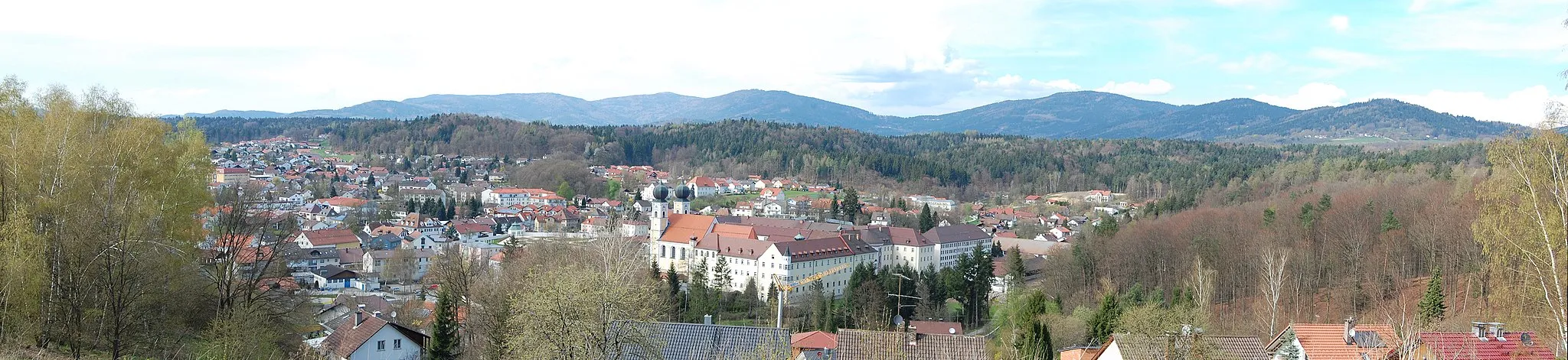
Discover Langenisarhofen, a hidden gem nestled in the Bavarian countryside. This 90-kilometer route boasts a challenging ascent of 563 meters, perfect for intermediate cyclists seeking a memorable adventure. Highlights along the route include Inkam, where you can marvel at its traditional Bavarian architecture, and Aufhausen, known for its idyllic scenery.
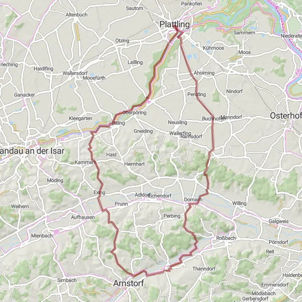
Experience a scenic adventure through beautiful landscapes and historic sites
Embark on a thrilling gravel cycling adventure in Niederbayern, starting near Plattling. This 66km route is characterized by its scenic beauty, taking you through picturesque villages, stunning landscapes, and historic sites. Highlights include Buchhofen, Obergrafendorf, Exing, and Poldering. With 491m of ascent, this route offers a moderate level of difficulty suitable for experienced amateur cyclists looking for a memorable ride.
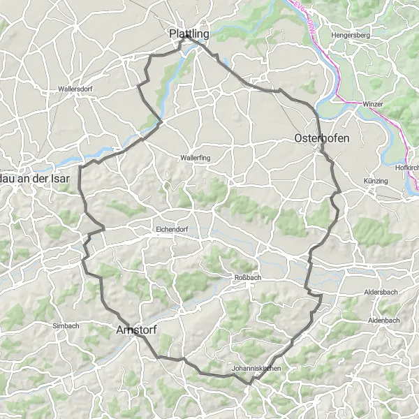
Plattling to Buchhofen Loop
Discover the scenic route from Plattling to Buchhofen
This route takes you from Plattling to Buchhofen and offers stunning views of the countryside. With a total distance of 90 kilometers and an ascent of 986 meters, it is suitable for well-trained amateurs. The route includes several highlights, such as Geißberg, Raubühl, and Alkofen.
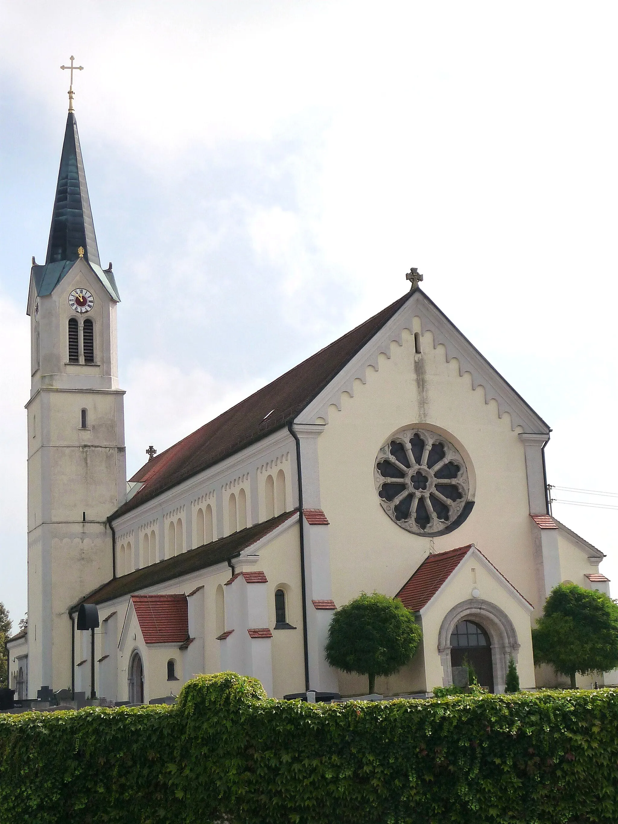
Explore the scenic route from Kirchdorf bei Osterhofen to Neukirchen
Embark on a breathtaking cycling journey from Kirchdorf bei Osterhofen to Neukirchen. With a total distance of 93 kilometers and an ascent of 660 meters, this route is best suited for experienced cyclists. Highlights include Johanniskirchen, known for its historic church, and Niederpöring, where you can immerse yourself in the traditional Bavarian way of life.
A gravel route through charming villages and scenic viewpoints
Embark on a gravel cycling adventure starting near Plattling and explore the charming villages and scenic viewpoints of Niederbayern. With a total distance of 54km and an ascent of 728m, this route offers a challenging journey for experienced gravel riders. Highlights include the Altes Rathaus in Geißberg, the Sollerberg viewpoint with panoramic vistas, and Tannenberg, a famous spot for cyclists. Get ready for a memorable ride through some of the most beautiful countryside in Niederbayern.
Cycling routes nearby:


Nearby regions: