Niederbayern Gravel Adventure
A gravel cycling route starting from Plattling
An adventurous gravel route with stunning natural landscapes
Map
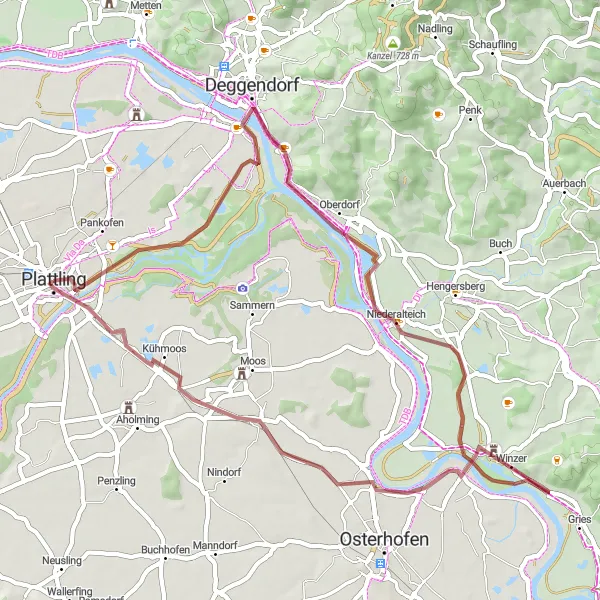
This gravel cycling route in Niederbayern takes you through diverse landscapes and charming towns. Starting in Plattling, the route includes a variety of highlights, from historical landmarks to picturesque viewpoints. With a moderate level of difficulty, it is suitable for well-trained amateur cyclists looking for an exciting off-road adventure. The route covers a distance of 51km and includes 57m of ascent. Get ready to immerse yourself in the beauty of Niederbayern!
gravel
51 km
57 m
Tough
Route profile
Highlights on the route
0 km
0 km
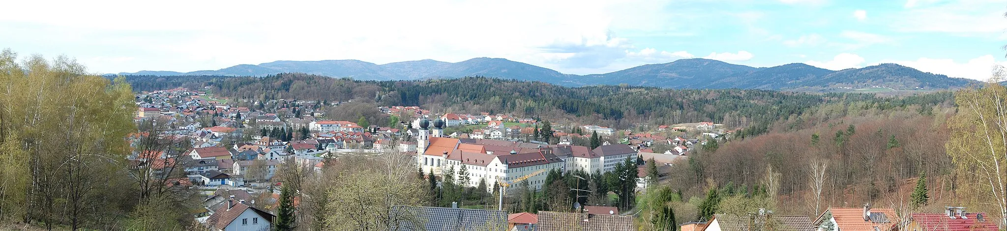
Start: Plattling City centerPlattling: Cycling exploration awaits in Plattling, Germany
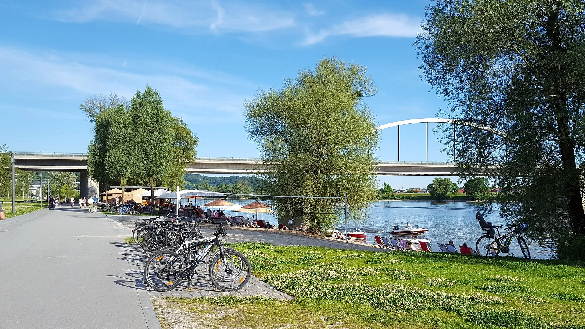
Plattling, located in the Niederbayern region of Germany, is a cycling-friendly area offering a range of routes for road and gravel cyclists. The locality provides peaceful countryside landscapes and well-maintained roads that cater to cyclists of all abilities. Plattling is a great starting point to explore the Danube cycle path, which spans several countries and offers stunning views along the river. Nearby, you'll find the popular climb of Brotjacklriegel, a challenging ascent that rewards riders with panoramic vistas. With its cycling infrastructure and diverse routes, Plattling is an ideal destination for a cycling adventure in Germany.0 km
0 km
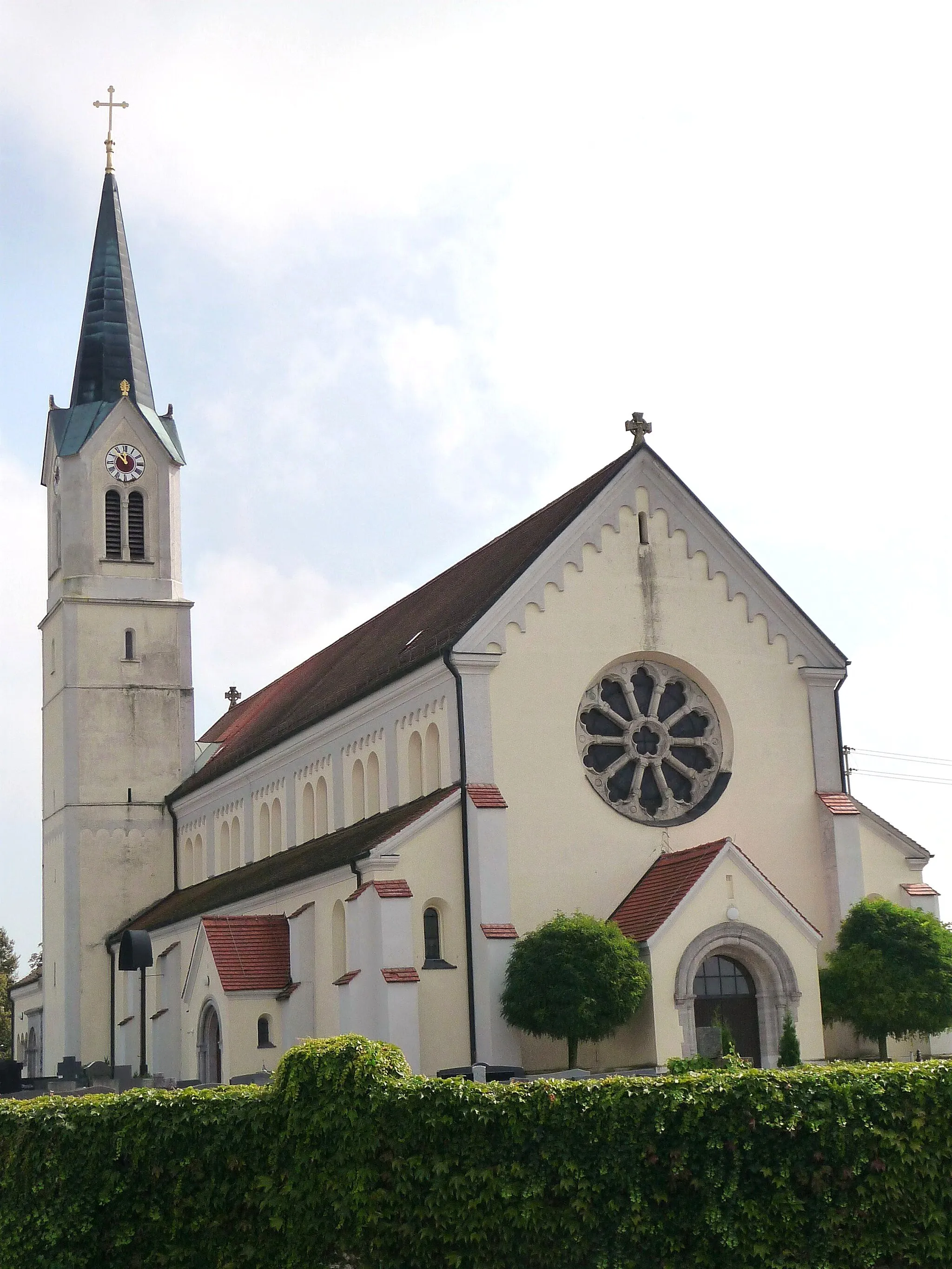
PlattlingTownDiscover Plattling, a charming town with a rich cultural heritage.
11 km
11 km
Geiersberg368 mPeakClimb Geiersberg and enjoy panoramic views of the surrounding countryside.
21 km
21 km
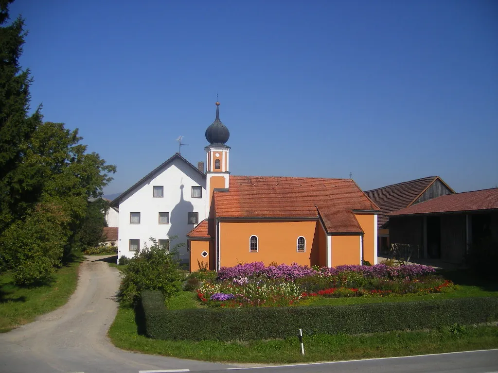
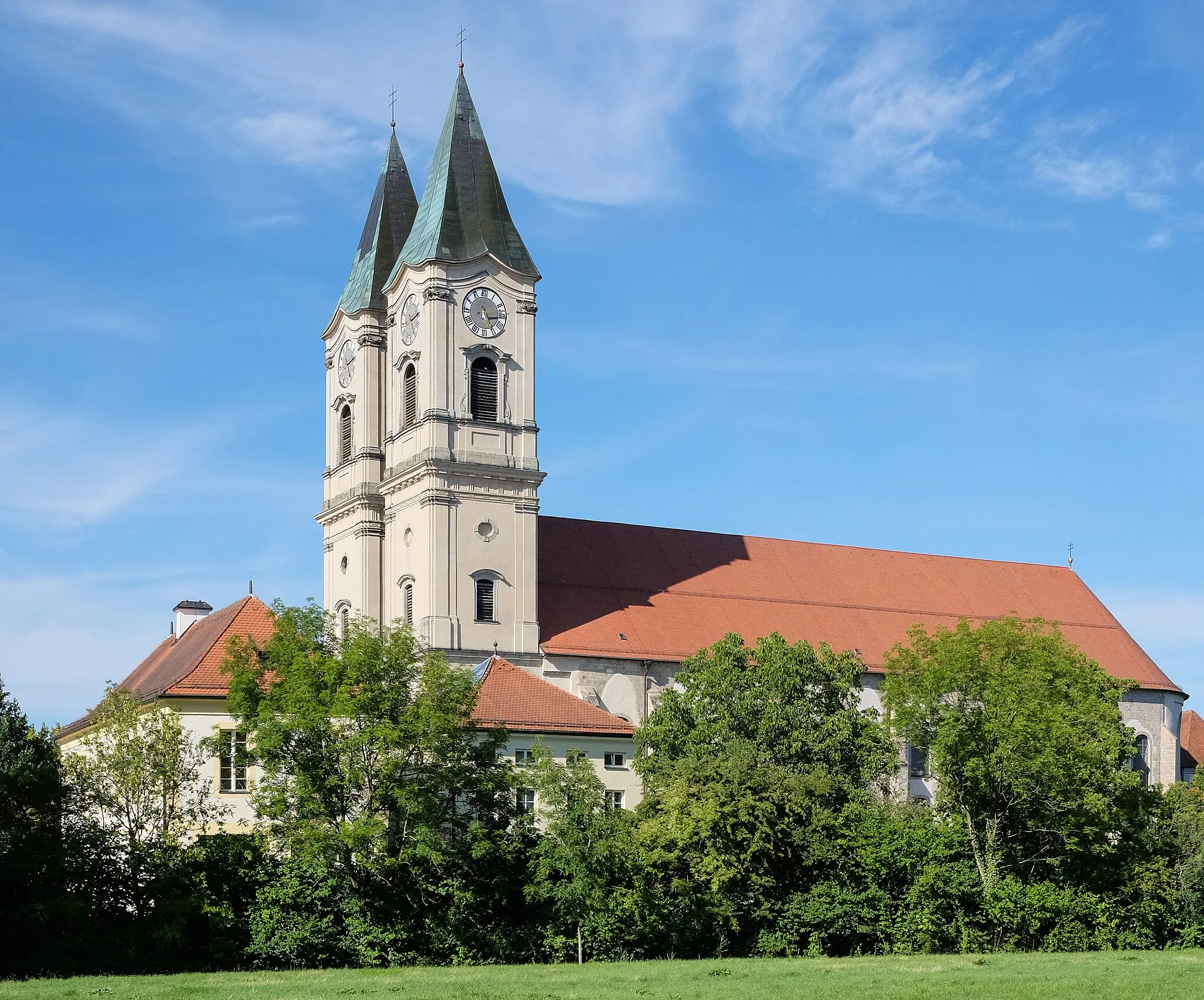
NiederalteichVillagePass through Niederalteich, known for its historic abbey.
30 km
30 km
Rechenberg423 mPeakVisit Rechenberg and admire its beautiful natural surroundings.
48 km
48 km
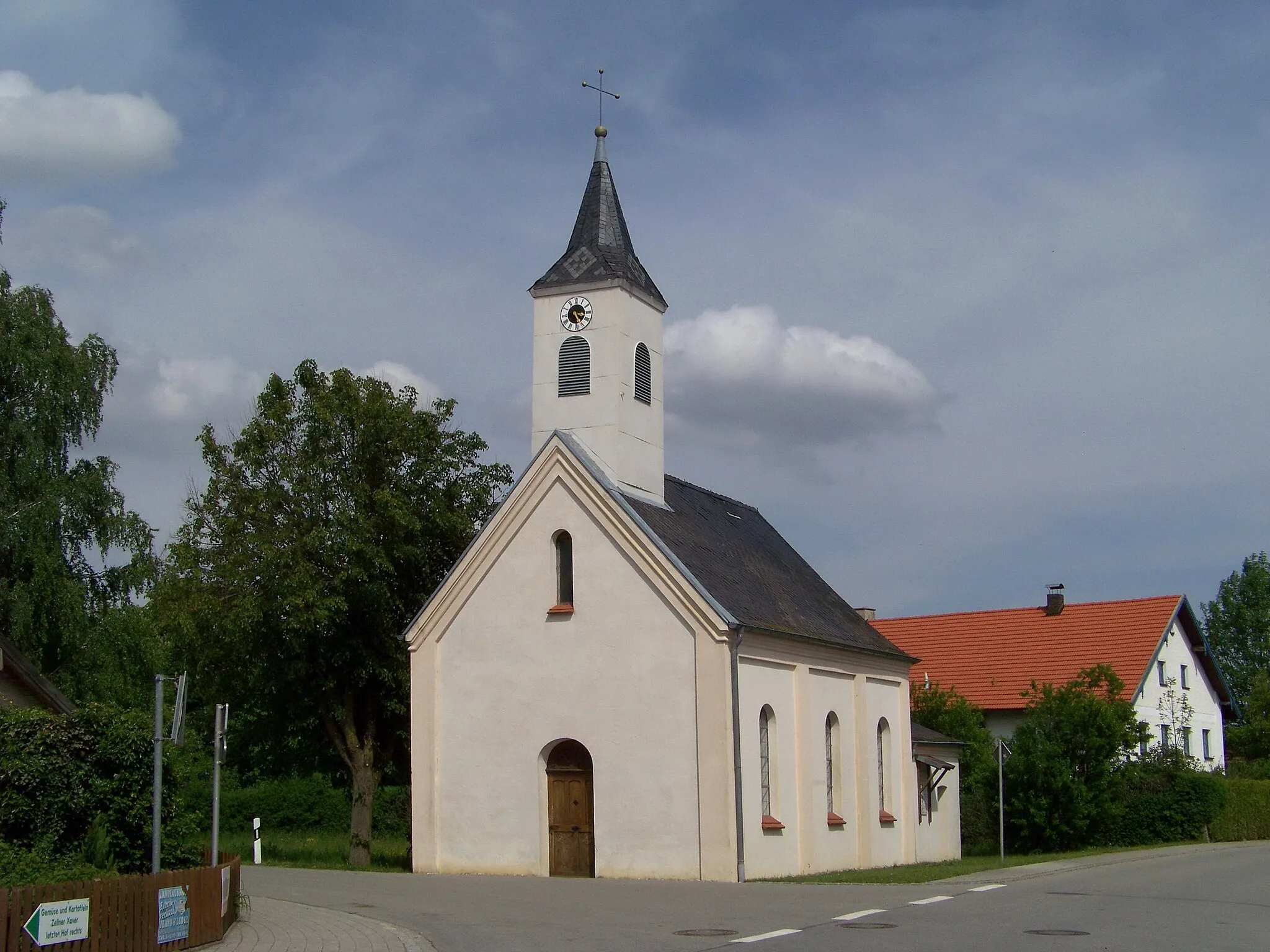
ThannetHamletExplore the village of Thannet, known for its picturesque landscapes.
51 km
51 km
Finish: Plattling City centerPlattling: Cycling exploration awaits in Plattling, Germany
Cycling routes from Plattling:
Plattling to Buchhofen Loop Scenic Adventure in Niederbayern Historical Landmarks and Nature Plattling to Niederalteich Loop Niederbayern Gravel Adventure Langenisarhofen Loop Charming Villages and Scenic Views Kirchdorf bei Osterhofen to Neukirchen Loop Plattling to Habichtstein Loop Hidden Gems of Niederbayern
Cycling routes nearby: