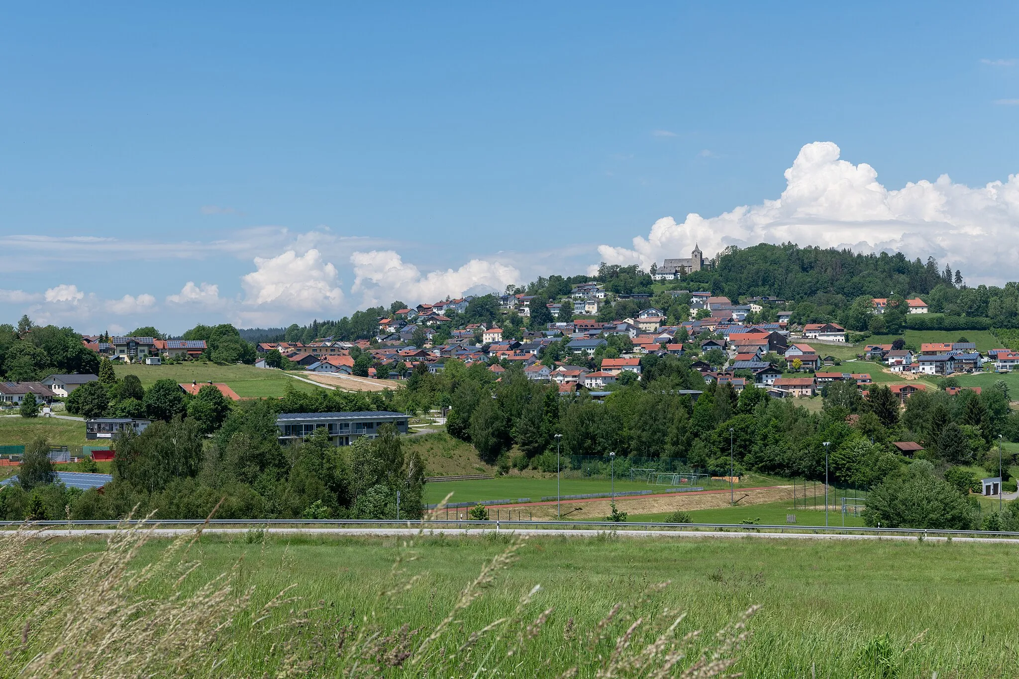
Tranquil cycling in Niederbayern, Germany
Cycling routes from Rinchnach
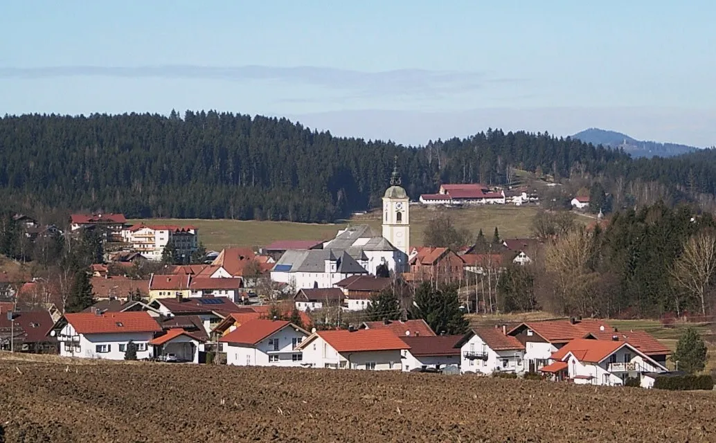
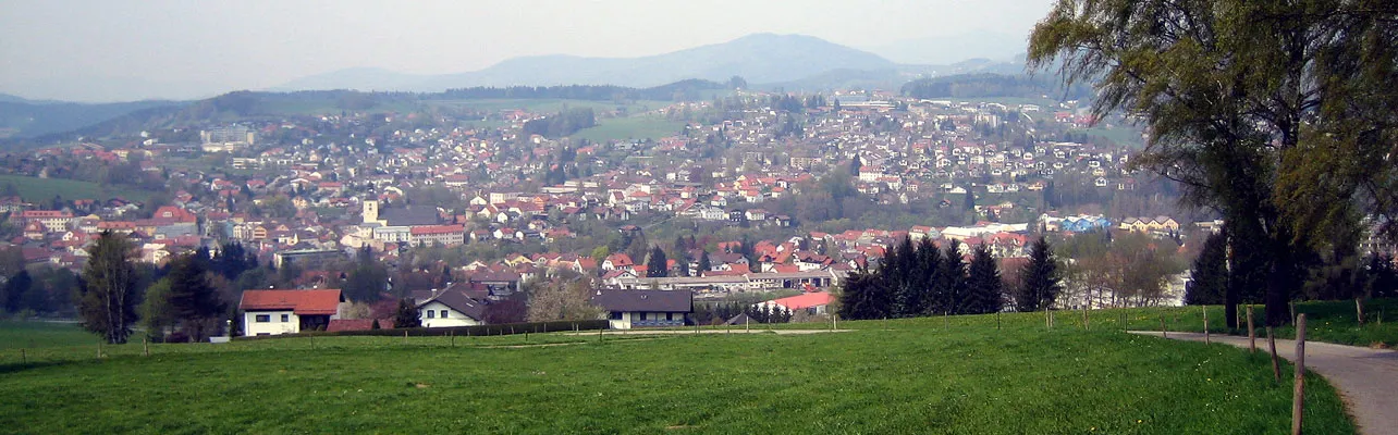
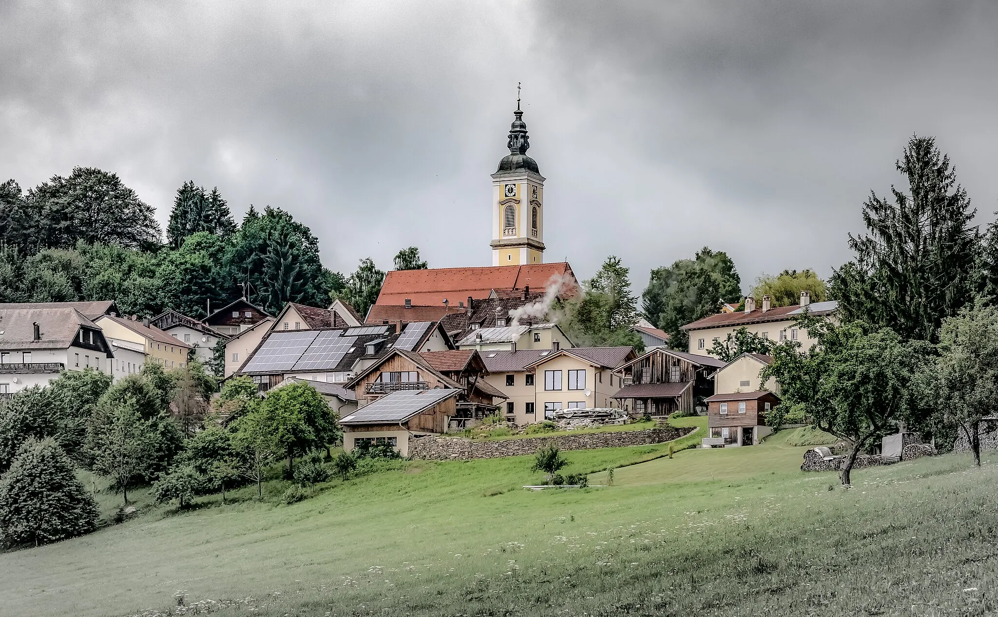
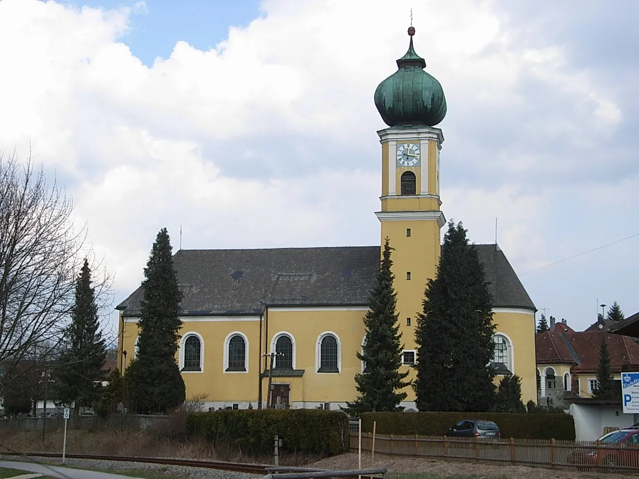
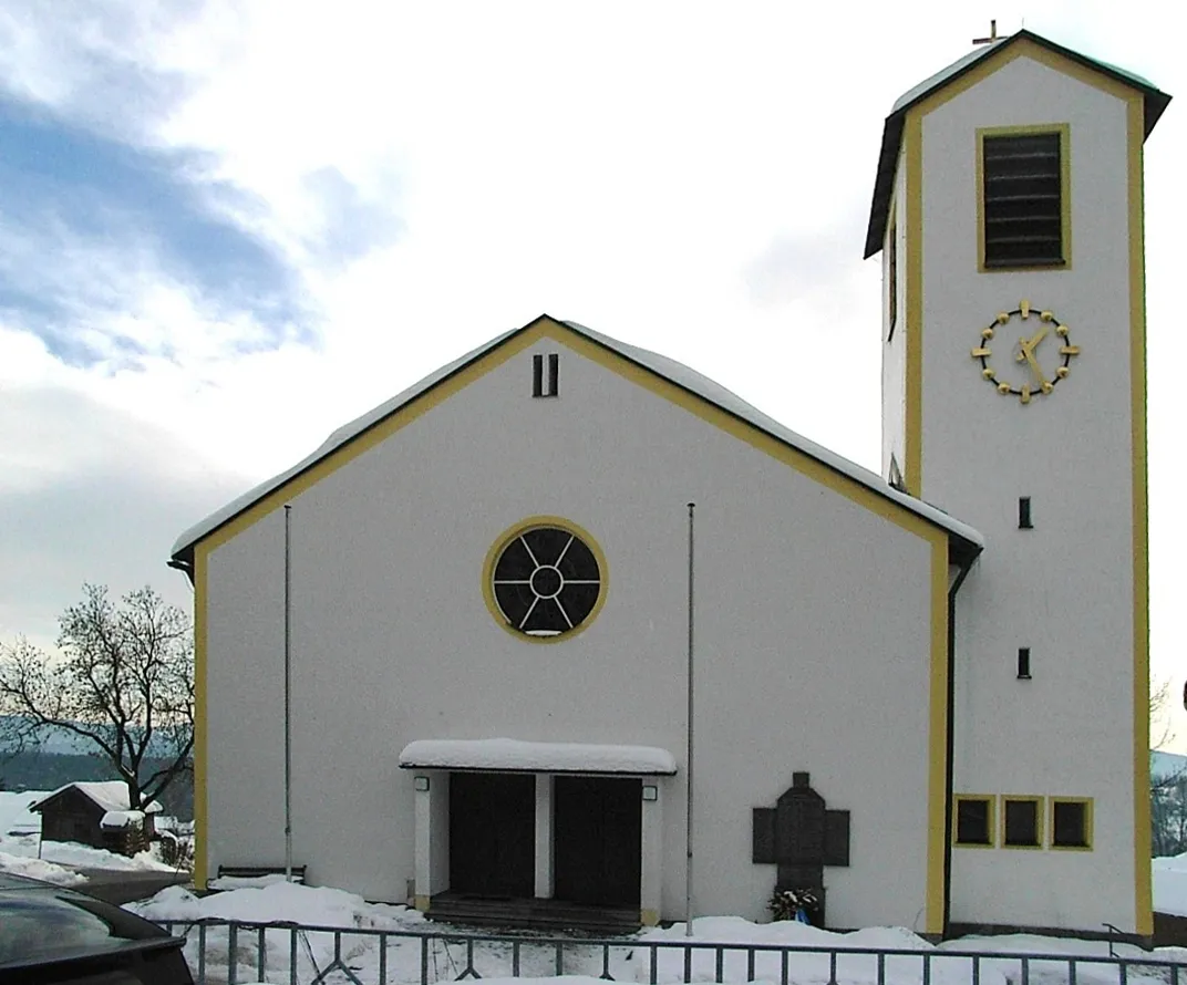
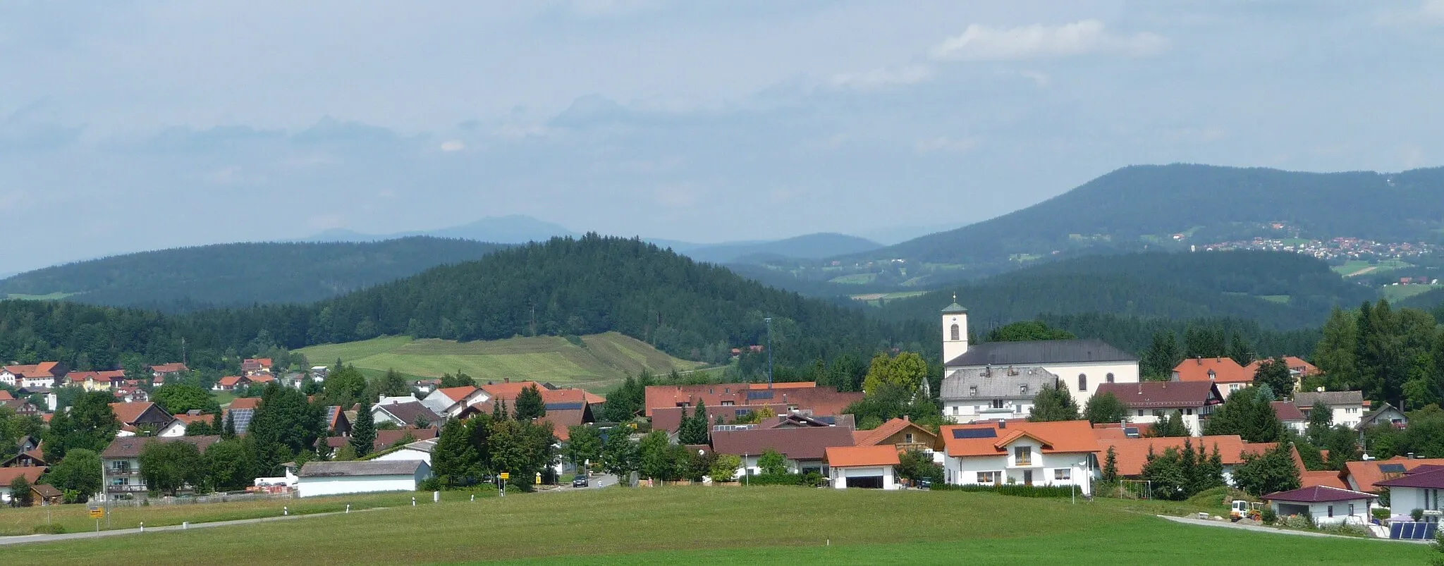
Rinchnach, located in Niederbayern, Germany, is a pleasant locality for road and gravel cyclists. The area features idyllic routes through forests and along rivers, providing a serene cycling experience. Though there are no famous cycling-related spots or well-known climbs nearby, Rinchnach offers a peaceful environment for cyclists seeking tranquility. With its serene routes and natural beauty, Rinchnach ranks as a 3 for cyclists.
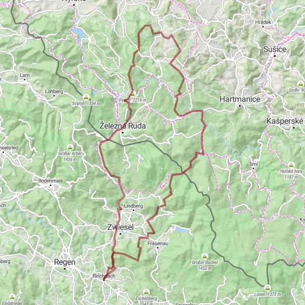
Ride through the beautiful forest and conquer challenging mountains
This route takes you on an exciting adventure through the stunning forests and mountains near Rinchnach. With a total ascent of 2397 meters and a distance of 108 kilometers, it is suitable for experienced gravel cyclists. The route starts in Rinchnach and passes through Asberg, Bayerisch Eisenstein, Pepík, Dveře, Šukačka, Kunkovice, Hadi vrch, Kremelna River, Prášily, Jungmaierhütte, Oberer Kühberg, and Unterasberg. The combination of gravel roads and mountainous terrain makes it a challenging yet rewarding journey. Throughout the ride, you will encounter several highlights including charming villages, scenic viewpoints, and historical landmarks.
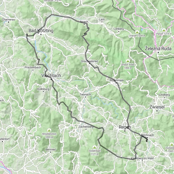
Experience the wonders of nature on this road cycling route near Rinchnach
This road cycling route near Rinchnach takes you on a journey through the stunning natural wonders of the Bavarian Forest. With a total ascent of 2681 meters and a distance of 123 kilometers, it offers a challenging ride for well-trained amateurs. The route takes you through breathtaking landscapes, charming villages, and iconic landmarks. The highlights along the route include Bischofsmais, Teufelstisch, Hahnburg, Spitzberg, Viechtach, Wacht, Venus, Bad Kötzting, Arrach, Drachselsried, Bodenmais, Anis, and Sitzhof. These spots offer a diverse range of natural beauty, historical landmarks, and cultural attractions.
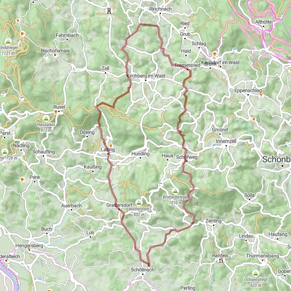
Discover the hidden gems of Lower Bavaria
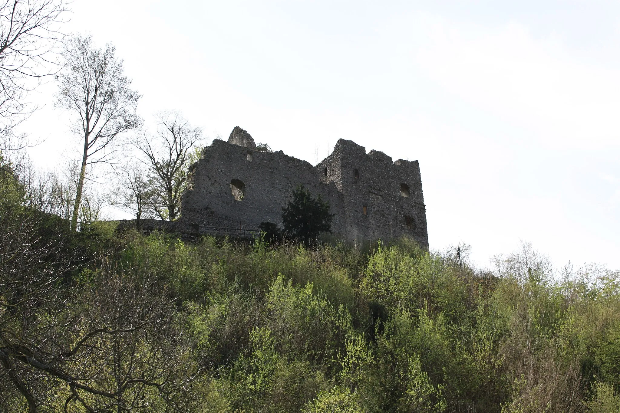
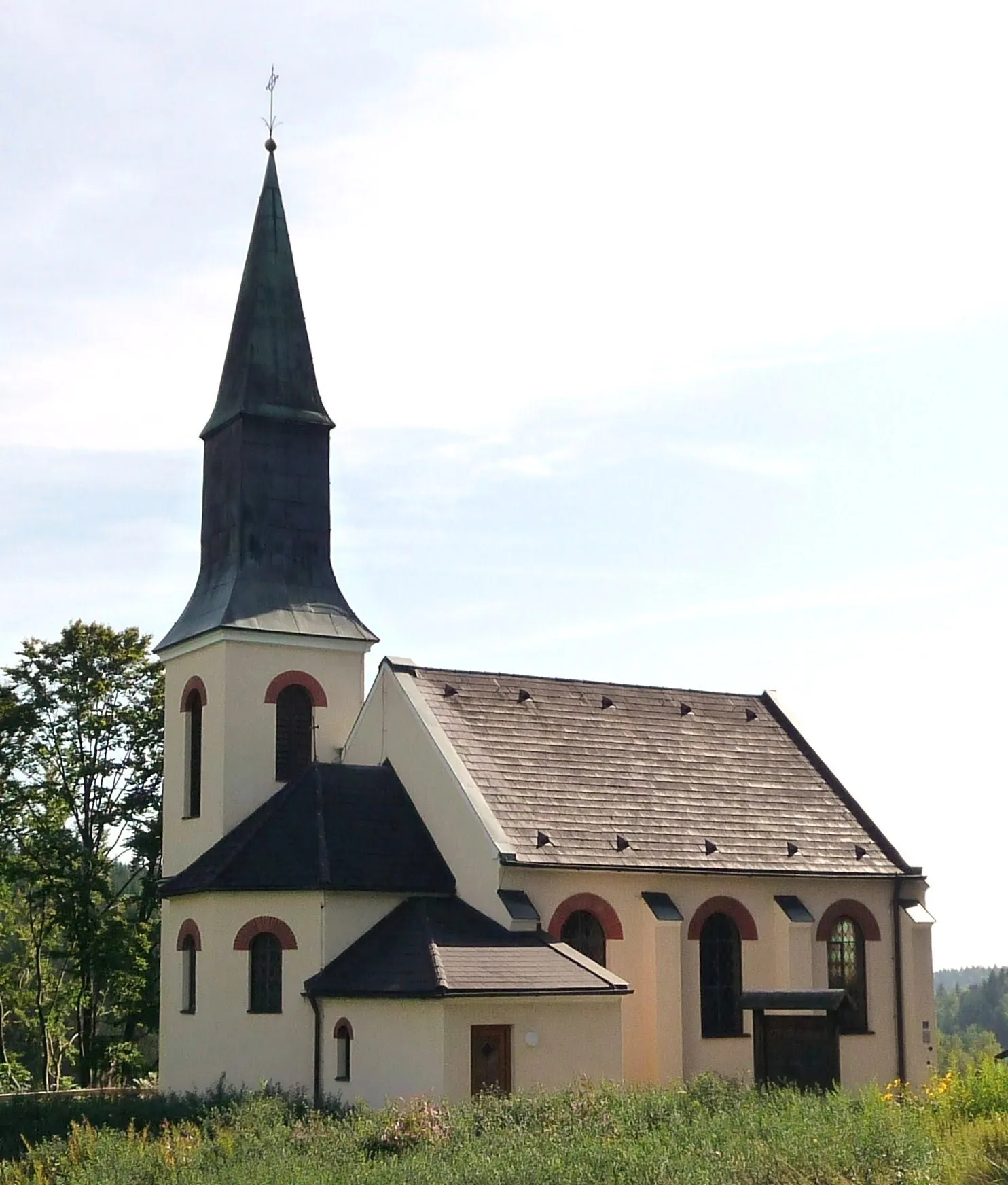
Experience the beauty of Lower Bavaria on this gravel loop from Rinchnach to Grattersdorf. The route takes you through idyllic villages, pristine landscapes, and historical landmarks, offering a diverse and memorable ride. Highlights along the route include Untermitterdorf, a traditional Bavarian village with stunning rural scenery, Eisenberg, a hill offering panoramic views of the surrounding region, and Schöllnach, a charming town with well-preserved historic buildings. Gfradert is another noteworthy spot on the route, featuring picturesque landscapes and tranquil nature. Plattenhöhe, located near Grattersdorf, is the perfect place to take in the stunning vistas of Lower Bavaria.
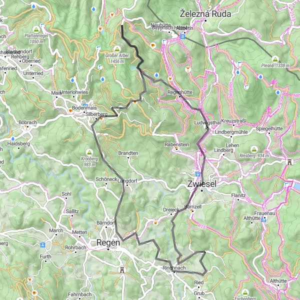
Explore charming villages and enjoy scenic views on this road cycling route
Experience the charm of traditional villages and soak in the beauty of scenic views on this road cycling route near Rinchnach. With an ascent of 1328 meters and a distance of 66 kilometers, this route promises a delightful journey. Starting in Rinchnach, you will pass through Langdorf, Oberberg, Hochzellberg, Tretbootverleih, Ludwigsthal, Zwiesel, and Ausblick Zwiesel. Marvel at the architectural beauty of the villages and enjoy the breathtaking vistas along the way.
Gravel Escape

Escape into nature on this gravel route through picturesque landscapes near Rinchnach
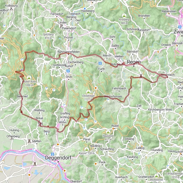
Experience the beauty of nature and tranquility with this enchanting gravel cycling route near Rinchnach. With a total ascent of 1226 meters and a distance of 46 kilometers, it provides a good challenge to well-trained amateurs. The route takes you through picturesque landscapes, meandering rivers, and scenic forests. The gravel terrain adds an extra sense of adventure and remoteness to the ride. The highlights along the route include Hieselberg, Bischofsmais, Hocheck, Zachenberg, Riedberg, and Regen. These spots offer stunning views, historical landmarks, and an opportunity to connect with nature.
Mountainous Adventure

Conquer challenging mountains on this adventurous road cycling route
Embark on a mountainous adventure and conquer challenging climbs on this road cycling route near Rinchnach. With an ascent of 2416 meters and a distance of 124 kilometers, this route is suited for experienced cyclists seeking a thrilling challenge. Starting in Rinchnach, you will pass through Kirchberg im Wald, Hieselberg, Buchberg, Patersdorf, Blossersberg, Pluto, Hohenwarth, Lam, Hindenburgkanzel, Hennenkobel, Zwiesel, and finish in Rinchnach. With steep inclines and breathtaking descents, this route will test your endurance and reward you with magnificent views.
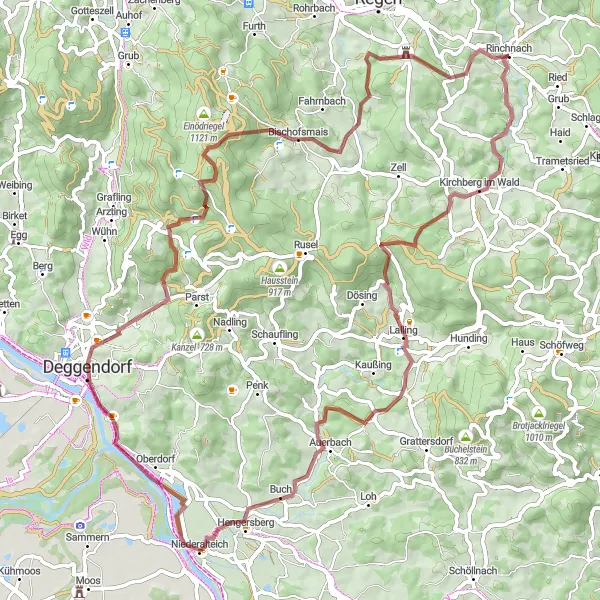
Journey through forests and picturesque villages
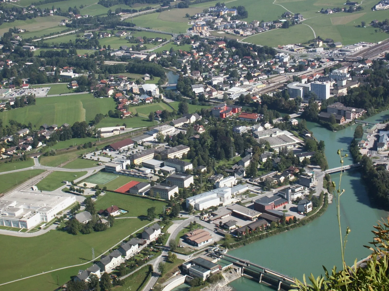
This round-trip cycling route takes you from Rinchnach to Deggendorf, showcasing the stunning natural beauty of the region. The route is a mix of gravel paths and scenic roads, offering a challenging but rewarding ride for gravel enthusiasts. The highlights along the way include Kirchberg im Wald, a charming village known for its historical buildings, Ranzinger Vorberg with its panoramic views, Hengersberg with its beautiful monastery, and Niederalteich, home to a medieval abbey. The route finally concludes in the city of Deggendorf, where you can explore the historic center and enjoy the views of the Danube River.
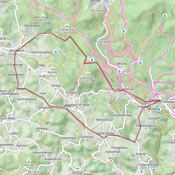
Embark on a thrilling gravel adventure through the stunning landscape of the Bavarian Forest.
This round-trip cycling route near Rinchnach offers an exhilarating gravel experience that takes you through the picturesque Bavarian Forest. With a total ascent of 655 meters and a distance of 36 kilometers, this trail is perfect for well-trained amateur cyclists seeking a challenge. The route is characterized by its diverse terrain, scenic views, and charming villages along the way.
Exploring Hills and Landmarks
Discover charming hills and historical landmarks on this road cycling route
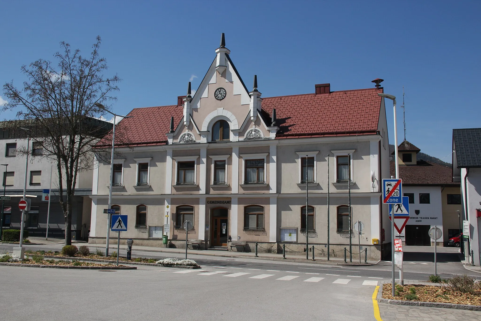
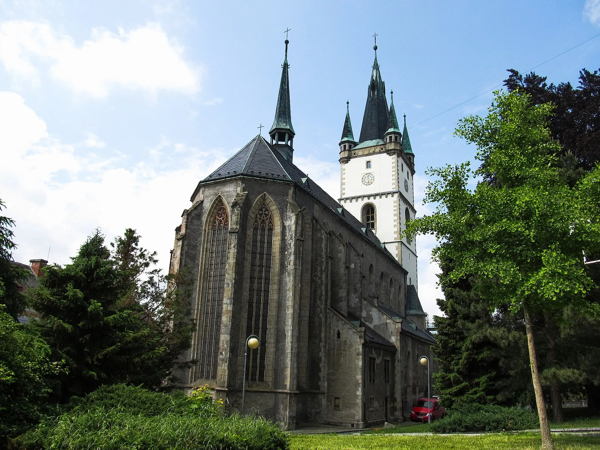
Embark on a journey through the rolling hills and explore historical landmarks near Rinchnach. With an ascent of 2342 meters and a distance of 116 kilometers, this road cycling route promises an exciting adventure. Starting in Rinchnach, you will pass through highlights such as Hessenstein, Spiegelau, Bärta, Haus im Wald, Blümersberg, Neukirchen vorm Wald, Ebersberg, Ellerberg, Schöllnach, and Kirchberg im Wald. Enjoy the scenic beauty of the countryside as you ride through charming villages and visit notable landmarks along the way.
Explore the natural beauty of the Bavarian Forest region
Embark on an adventurous gravel ride from Rinchnach to Regen, immersing yourself in the natural beauty of the Bavarian Forest. This challenging route takes you through scenic routes and enchanting villages, making it perfect for experienced gravel riders. The highlights along the way include Geißkopf, a popular mountain with panoramic views, Bernried with its idyllic lake, Hirschenstein, a majestic granite peak, and Regen, a charming town known for its traditional Bavarian architecture. Throughout the ride, you'll be surrounded by lush forests, rolling hills, and pristine lakes, providing a true escape into nature.
Cycling routes nearby:


Nearby regions: