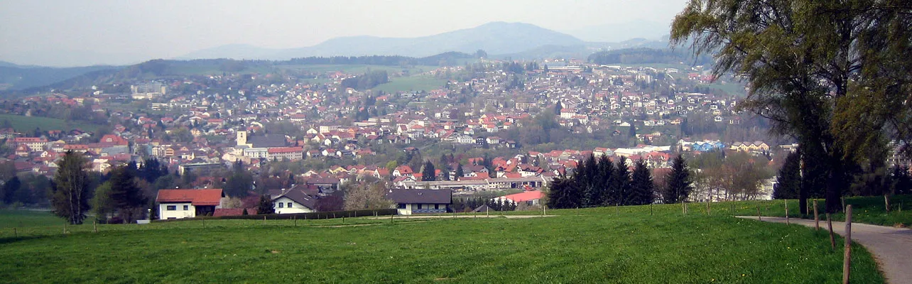
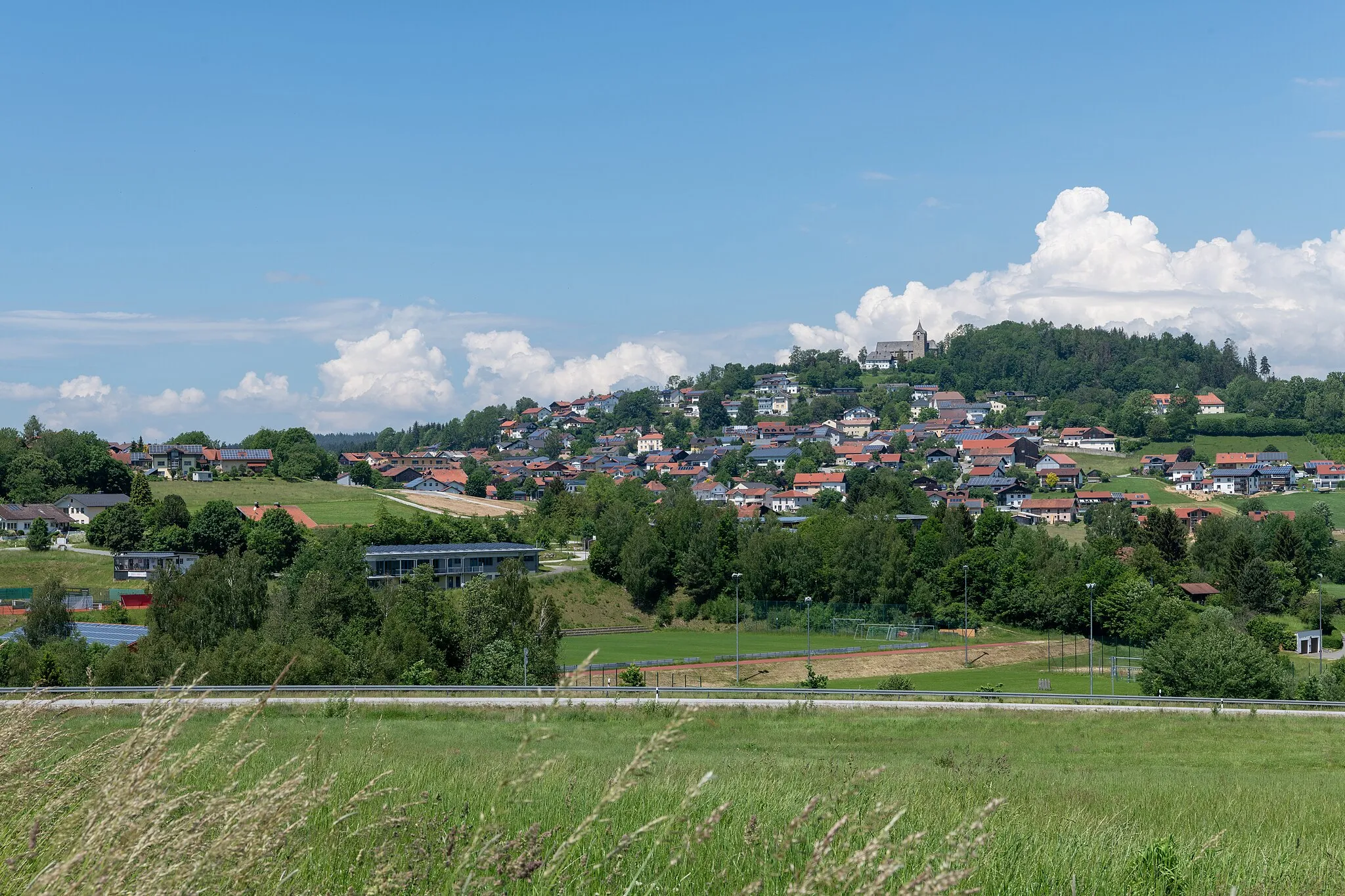
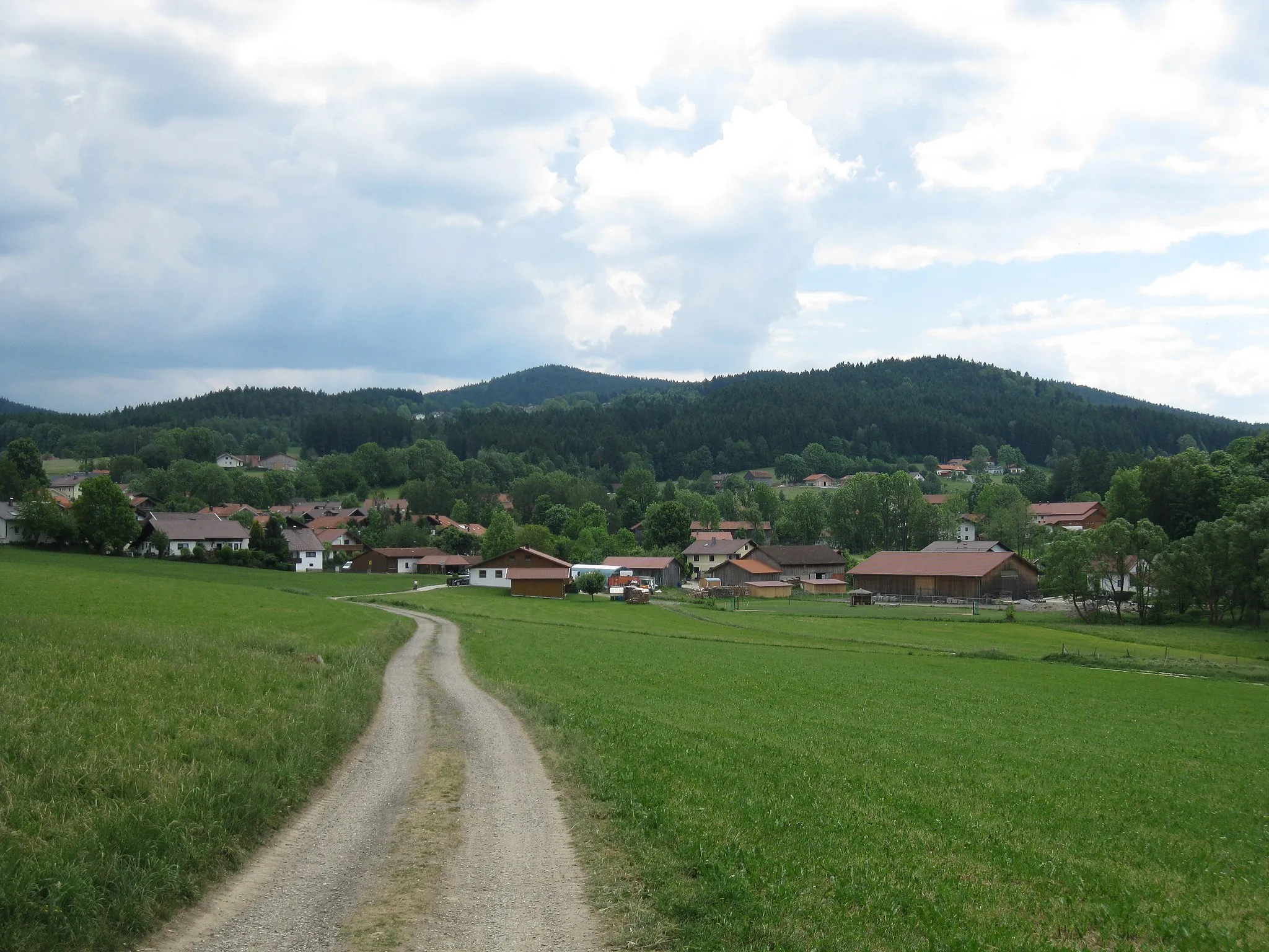
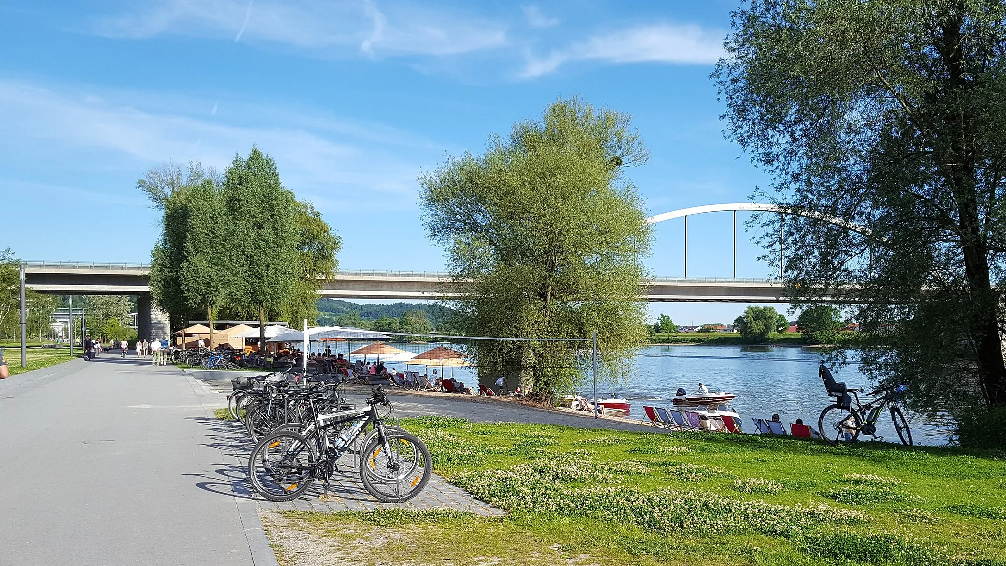
Exploring the scenic routes of Bischofsmais in Niederbayern, Germany.
Cycling routes from Bischofsmais
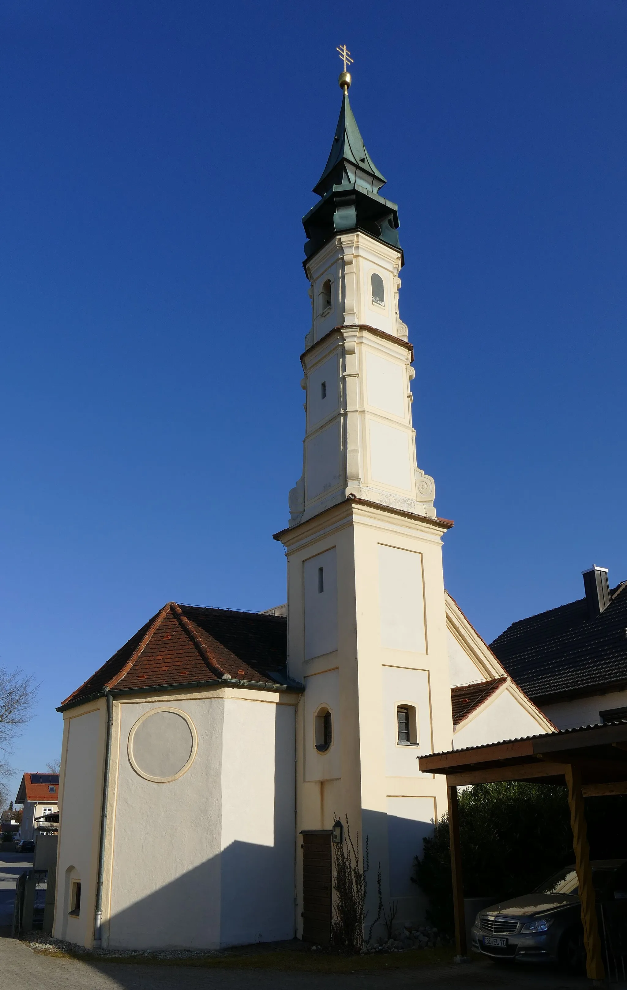
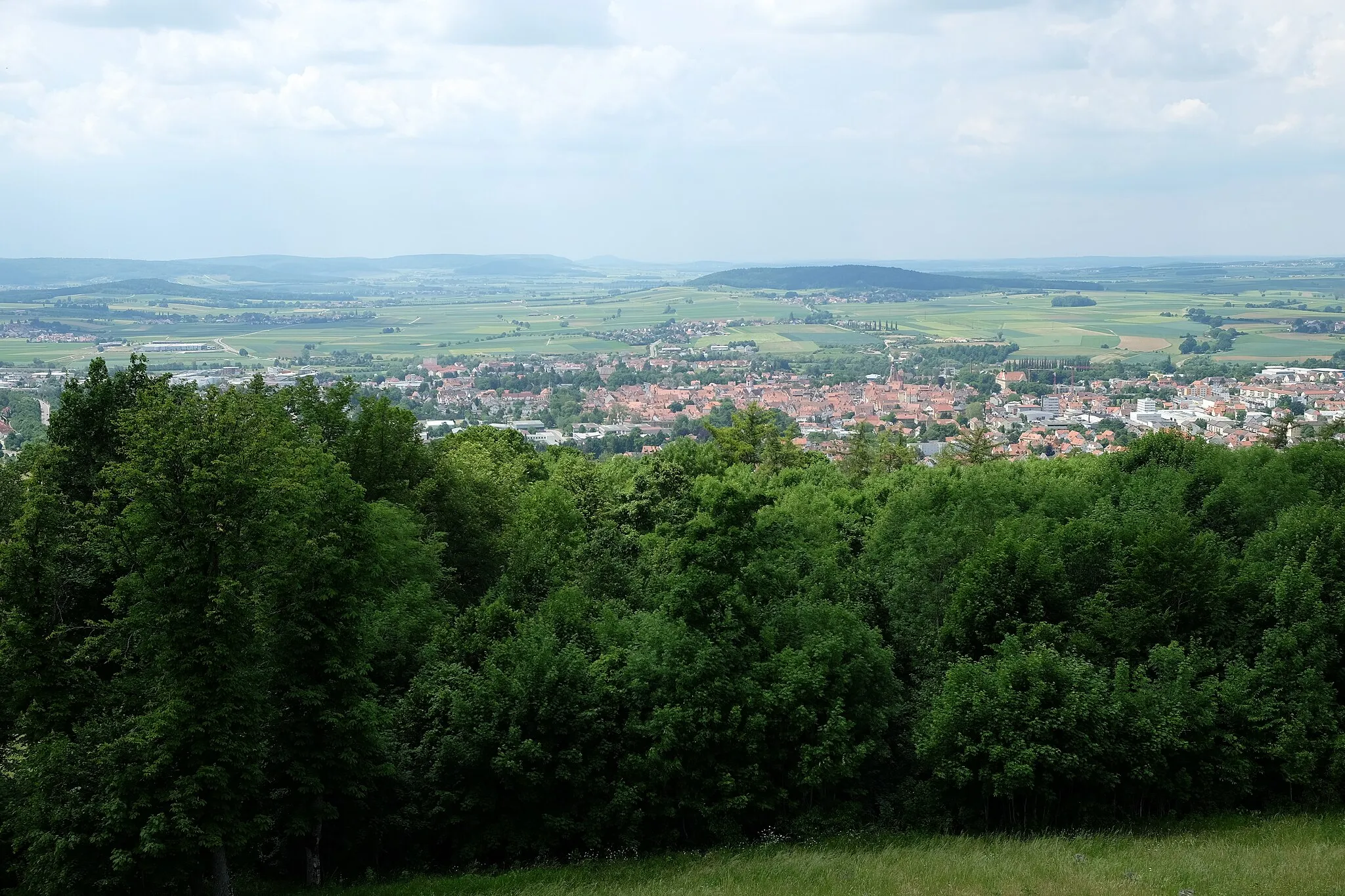
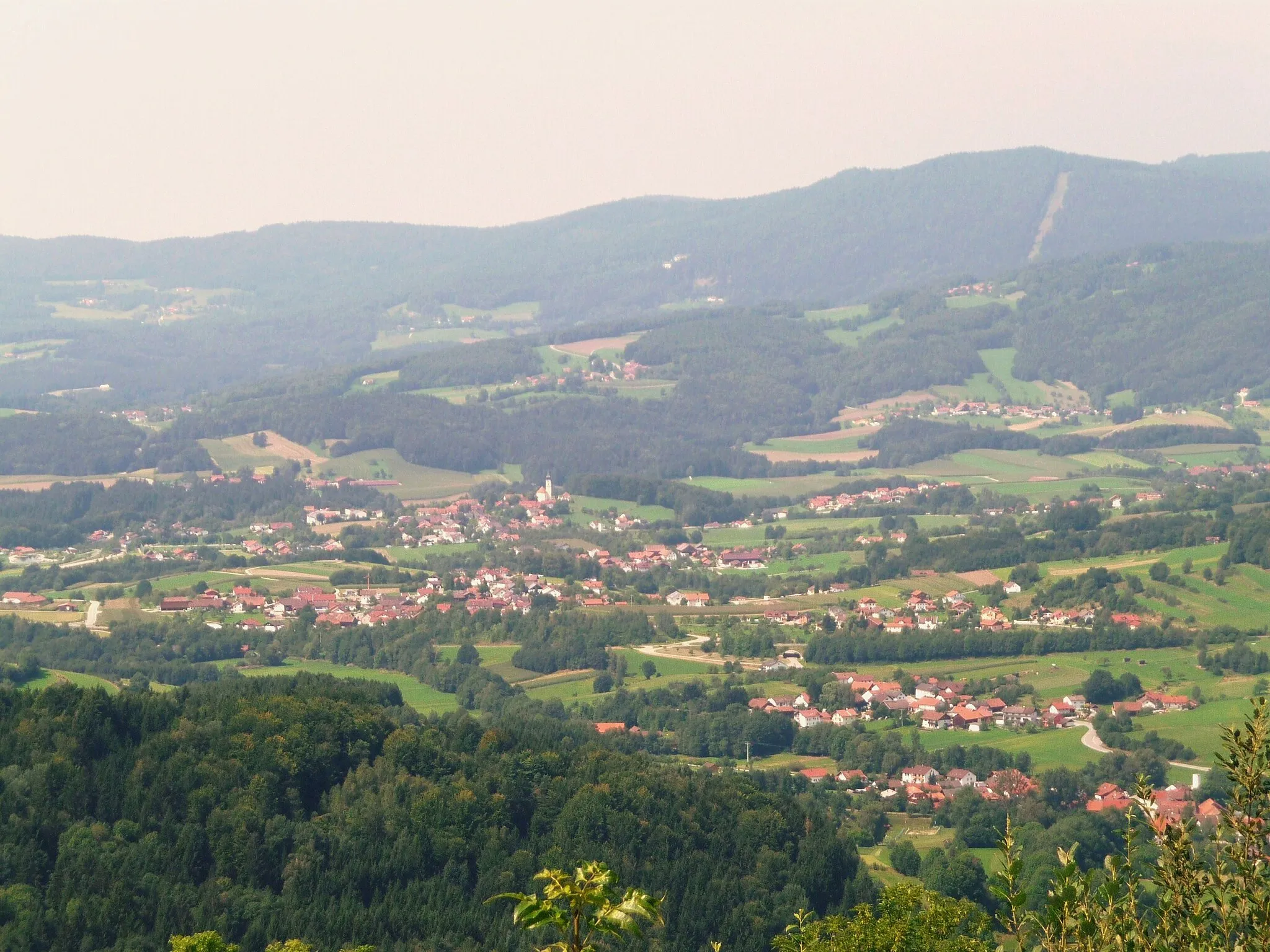
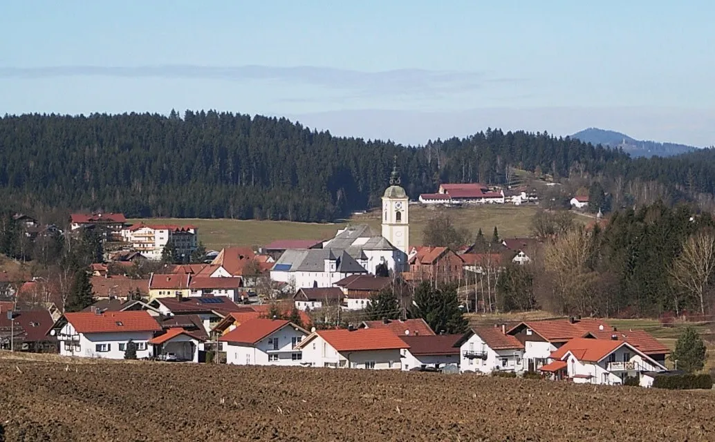
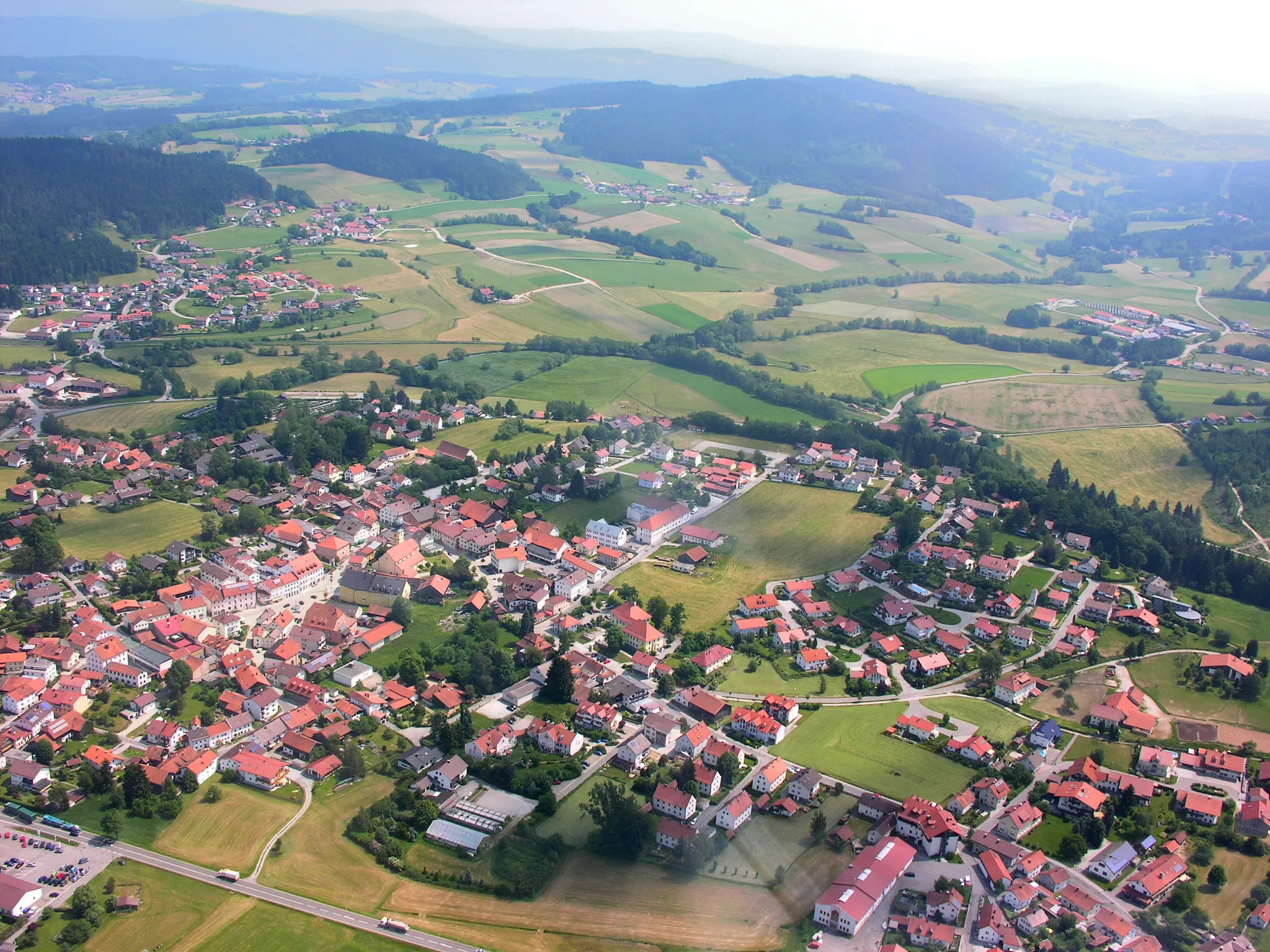
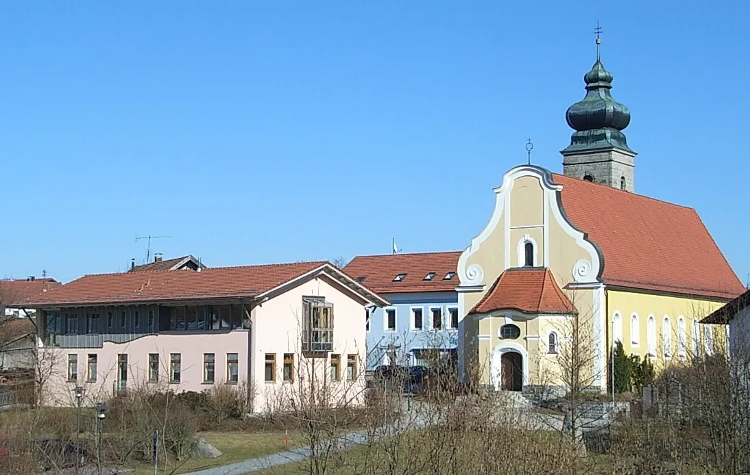
Bischofsmais is a small locality located in Niederbayern, Germany. From a cyclist's perspective, it offers beautiful landscapes with rolling hills and scenic routes to explore. The roads are generally well-maintained, making it suitable for road cycling. Mountain bike enthusiasts will also enjoy the gravel trails in the surrounding nature. The area is also known for its picturesque Bavarian villages and charming countryside views. While there aren't any famous cycling-related spots specifically in Bischofsmais, cyclists can venture out to nearby regions such as the Bavarian Forest National Park, which offers challenging climbs and stunning natural scenery.
The Hidden Gems
Uncover the hidden gems of Niederbayern on this gravel cycling tour.
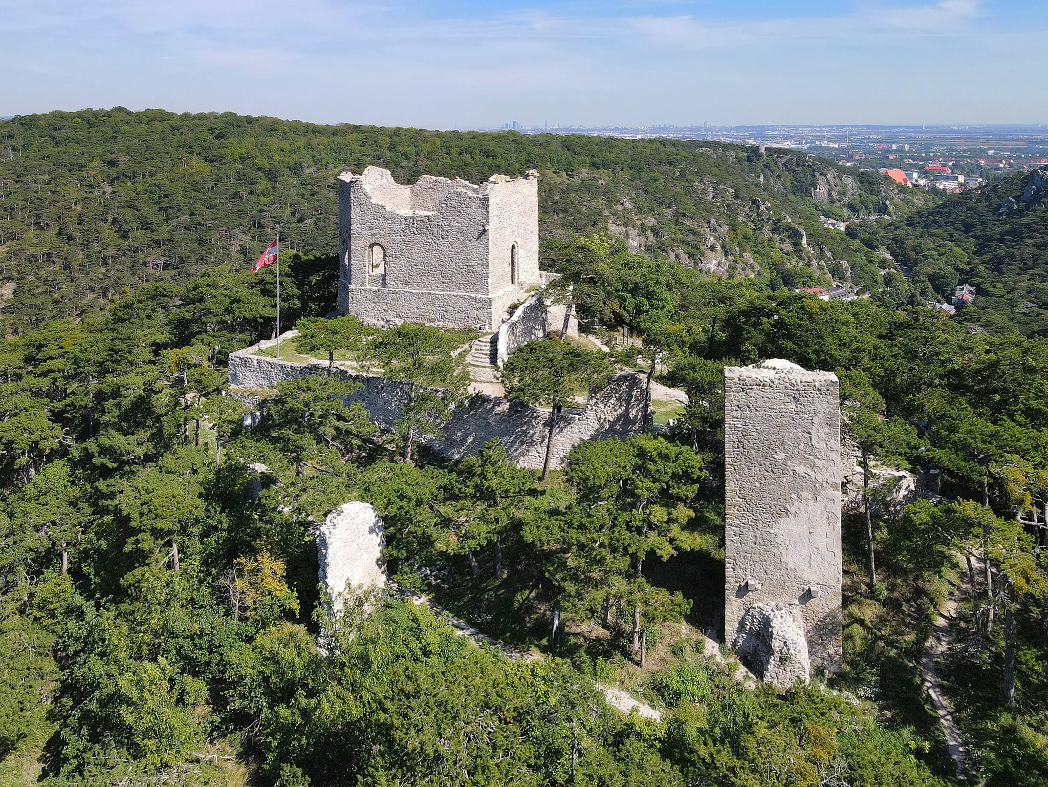
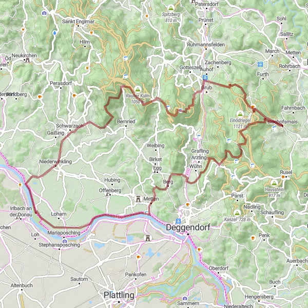
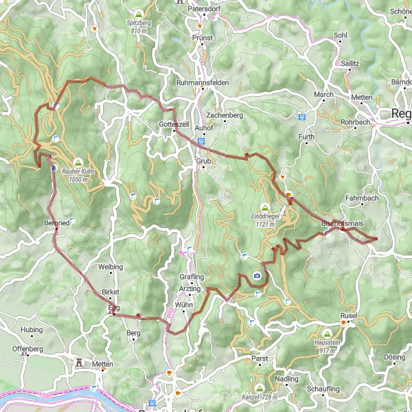
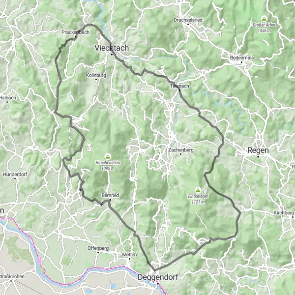
This gravel route takes you on a journey to discover the hidden gems of Niederbayern. With a total distance of 79 kilometers and an ascent of 1818 meters, it offers a diverse and exciting experience. From the ancient ruins of Rohrmünz to the panoramic views from Kalteck, each highlight along the route is unique and fascinating. The difficulty level of this route is 4, suitable for well-trained amateurs. The epicness score is 4, as there are several scenic spots and historical landmarks to explore.
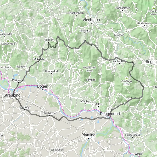
Take on the ultimate cycling challenge and conquer the Niederbayern mountains.
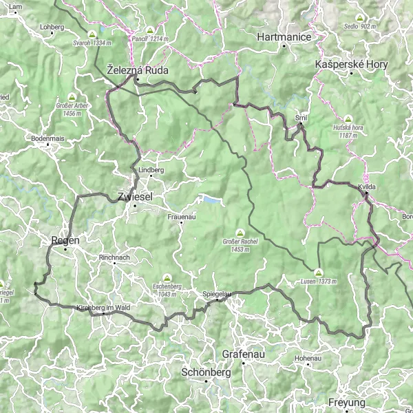
This road route is the ultimate cycling challenge for any seasoned cyclist. With a total distance of 152 kilometers and an ascent of 2964 meters, it is not for the faint of heart. From the challenging climb up Mühlberg to the breathtaking views from Hieselberg, every highlight along the route is steeped in cycling history. The difficulty level of this route is 5, suitable only for highly trained and experienced cyclists. The epicness score is 5, as it features legendary climbs and famous cycling spots.
The Gravel Adventure
Discover the rugged beauty of Niederbayern on this adventurous gravel route.
This gravel route takes you through picturesque villages and stunning landscapes in Niederbayern. With a total distance of 62 kilometers and an ascent of 1860 meters, it offers a challenging yet rewarding experience. From the historic village of Hieselberg to the scenic Sankt Hermann, every highlight along the route is worth exploring. The difficulty level of this route is 4, suitable for well-trained amateurs. The epicness score is 3, as there are no legendary climbs or famous spots along the way.
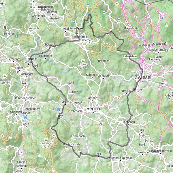
Rusel Loop
Cycle through stunning landscapes and charming villages on this challenging road route.
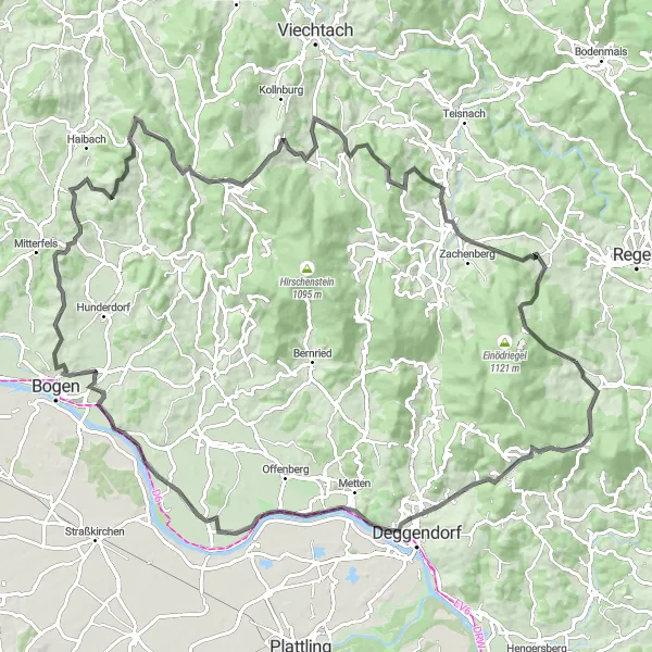
The Rusel Loop is a challenging road route that covers a distance of 108 kilometers with a total ascent of 2228 meters. This route takes you through picturesque landscapes and charming villages, offering breathtaking views along the way. With highlights such as the view from Ruselabsatz, the picturesque village of Mietraching, and the panoramic views from the Buchberg, this route is a must-do for experienced road cyclists looking for a real challenge. The difficulty level of this route is rated 5 out of 5, making it suitable for very well-trained amateur cyclists.
An epic journey through the stunning Bavarian Forest
Experience the breathtaking beauty of the Bavarian Forest on this challenging cycling adventure. With a total ascent of 1925m and a distance of 120km, this route will test your endurance and reward you with magnificent views and unforgettable highlights along the way. Start at Bischofsmais and explore the picturesque villages of Mietraching and Loh. Climb the Garbuckel, a steep hill that offers panoramic views of the surrounding countryside. Don't miss the Winterberg and the Teufelstisch, two iconic landmarks that will take your breath away. Finish your journey at Sankt Hermann, where you can take a moment to marvel at the stunning scenery before heading back.
The Scenic Road Trip
Embark on a scenic road trip through the enchanting landscapes of Niederbayern.
This road route takes you through the breathtaking landscapes of Niederbayern. With a total distance of 81 kilometers and an ascent of 1801 meters, it offers a memorable and scenic journey. From the picturesque village of Bärnstein to the stunning vistas of Zell, every mile of this route is filled with beauty and charm. The difficulty level of this route is 3, suitable for experienced cyclists. The epicness score is 3, as there are no legendary climbs or famous spots along the way.
Gravel Adventure
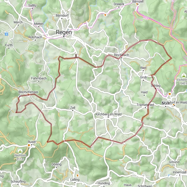
Embark on an adventurous gravel ride through beautiful natural surroundings and discover hidden gems along the way.
The Gravel Adventure route is perfect for those with a sense of adventure. This 49-kilometer gravel ride takes you through pristine landscapes, offering a unique cycling experience. With highlights such as the Pfefferberg, Plattenhöhe, and Rinchnach, this route is ideal for gravel enthusiasts looking for a taste of the outdoors. The difficulty level of this route is rated 3 out of 5, making it suitable for moderately trained cyclists.
Discover hidden gems along this gravel route and embrace the beauty of nature.
The Hidden Gems route takes you on a 39-kilometer gravel adventure, where you can discover hidden gems and untouched natural landscapes. With highlights such as Schloßberg, Lalling, and Birkenberg, this route offers a unique experience for gravel enthusiasts. The difficulty level of this route is rated 2 out of 5, making it suitable for casual cyclists looking for a leisurely ride.
Forest Escape
Escape into the peaceful forests and immerse yourself in nature on this road cycling route.
The Forest Escape route offers a peaceful and scenic road cycling experience, covering a distance of 98 kilometers with a total ascent of 2189 meters. With highlights such as Ruselabsatz, Mietraching, and Schloss Egg, this route combines both natural beauty and cultural heritage. Immerse yourself in the serene atmosphere of the Bavarian countryside while enjoying the challenge of this intermediate level route. The difficulty level of this route is rated 3 out of 5, making it suitable for moderately trained cyclists.
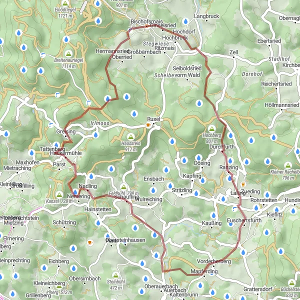
Bischofsmais Exploration
Explore the picturesque village of Bischofsmais and its surroundings on this gravel route.
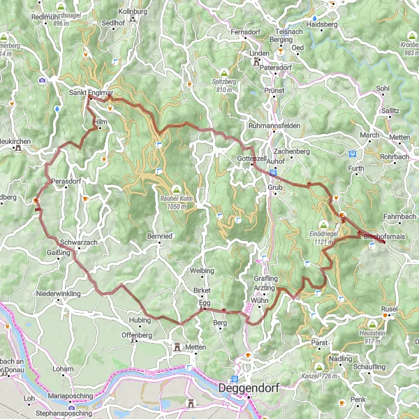
The Bischofsmais Exploration route is a 75-kilometer gravel ride that allows you to explore the beautiful village of Bischofsmais and its surroundings. With highlights such as Rohrmünz, Buchenhöhe, and Schloss Egg, this route offers a unique opportunity to experience the natural beauty and charm of the region. The difficulty level of this route is rated 4 out of 5, making it suitable for experienced gravel cyclists.
Cycling routes nearby:

Nearby regions: