The Scenic Road Trip
A road cycling route starting from Bischofsmais
Embark on a scenic road trip through the enchanting landscapes of Niederbayern.
Map
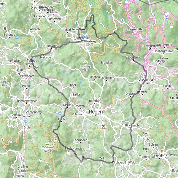
This road route takes you through the breathtaking landscapes of Niederbayern. With a total distance of 81 kilometers and an ascent of 1801 meters, it offers a memorable and scenic journey. From the picturesque village of Bärnstein to the stunning vistas of Zell, every mile of this route is filled with beauty and charm. The difficulty level of this route is 3, suitable for experienced cyclists. The epicness score is 3, as there are no legendary climbs or famous spots along the way.
road
81 km
1801 m
Tough
Route profile
Highlights on the route
0 km
0 km
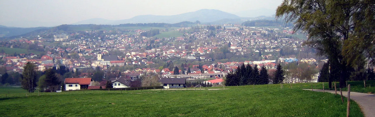
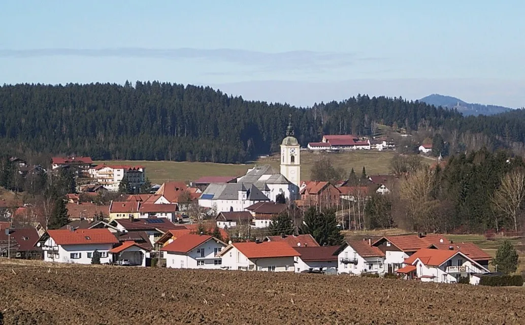
Start: Ritzmais Village centerBischofsmais: Exploring the scenic routes of Bischofsmais in Niederbayern, Germany.
Bischofsmais is a small locality located in Niederbayern, Germany. From a cyclist's perspective, it offers beautiful landscapes with rolling hills and scenic routes to explore. The roads are generally well-maintained, making it suitable for road cycling. Mountain bike enthusiasts will also enjoy the gravel trails in the surrounding nature. The area is also known for its picturesque Bavarian villages and charming countryside views. While there aren't any famous cycling-related spots specifically in Bischofsmais, cyclists can venture out to nearby regions such as the Bavarian Forest National Park, which offers challenging climbs and stunning natural scenery.1 km
1 km
Bärnstein709 mPeakBärnstein: Enjoy the picturesque views from this scenic mountain peak.
16 km
16 km
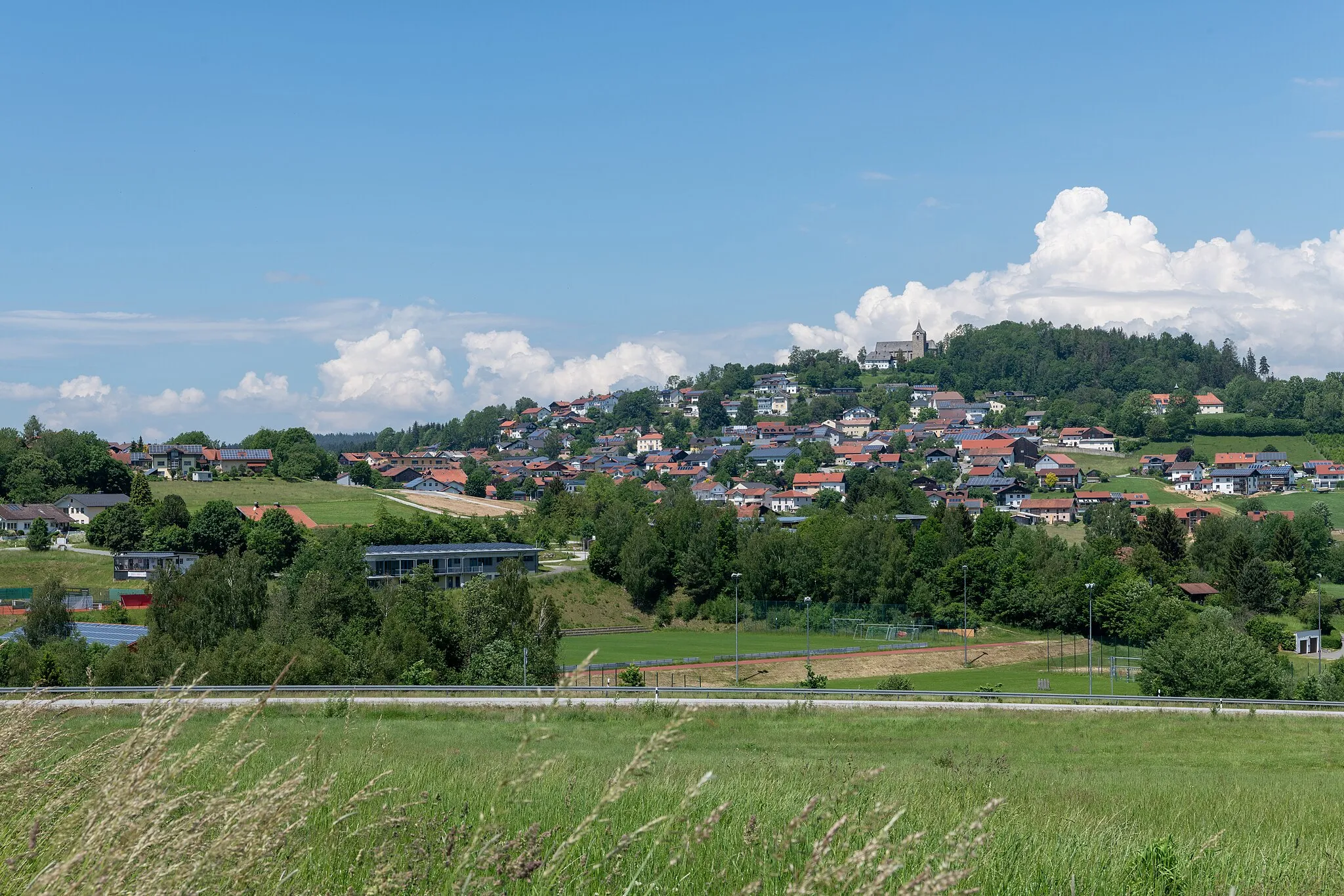
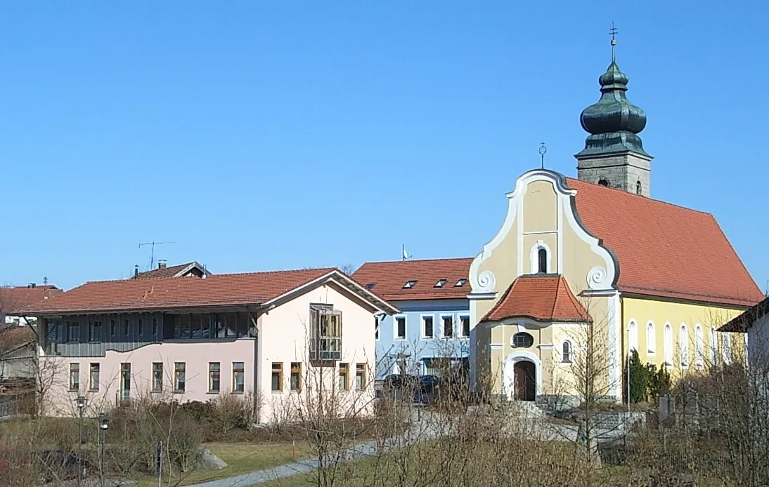
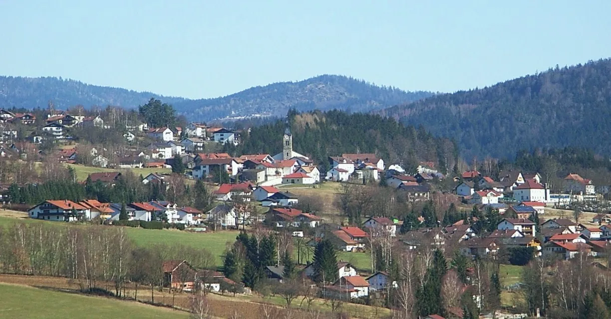
KaikenriedVillageKaikenried: Discover the traditional Alpine architecture and beautiful church in this charming village.
24 km
24 km
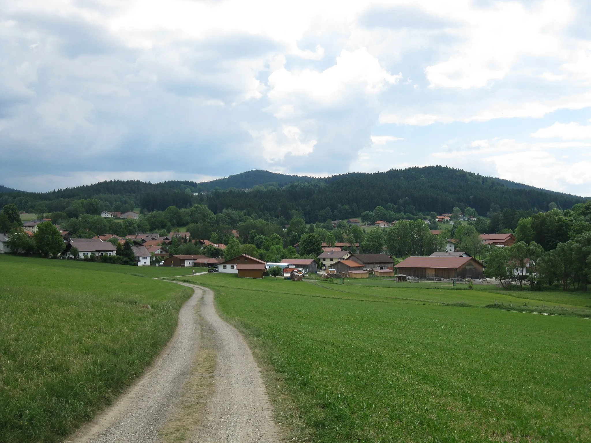
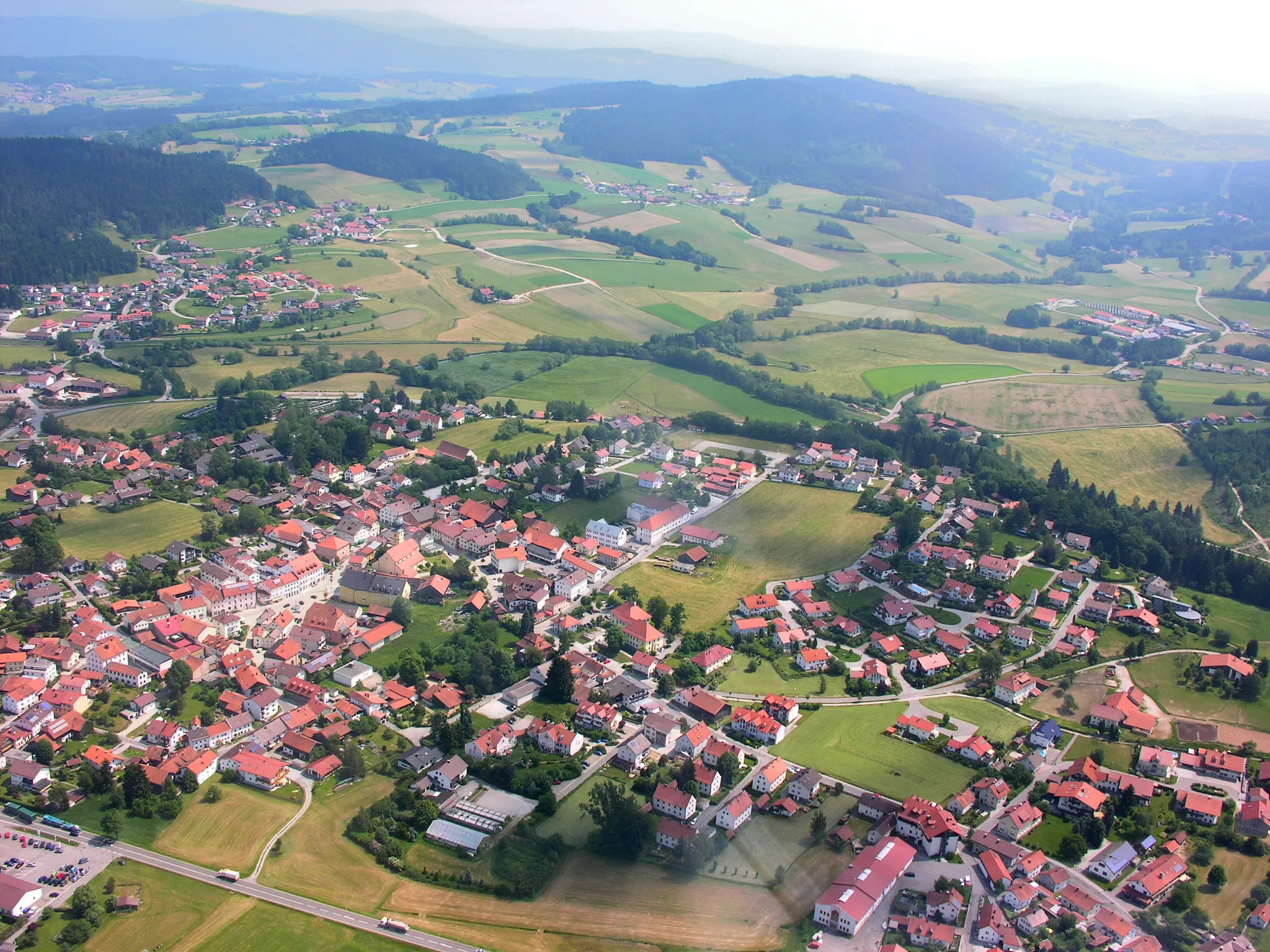
BöbrachVillageBöbrach: Ride through the serene countryside and experience the tranquility of nature.
40 km
40 km
Hochzellberg1208 mPeakHochzellberg: Marvel at the panoramic views of the surrounding landscapes from this vantage point.
49 km
49 km
Hennenkobel965 mPeakHennenkobel: Take a break at this rustic mountain inn and enjoy the stunning views.
51 km
51 km
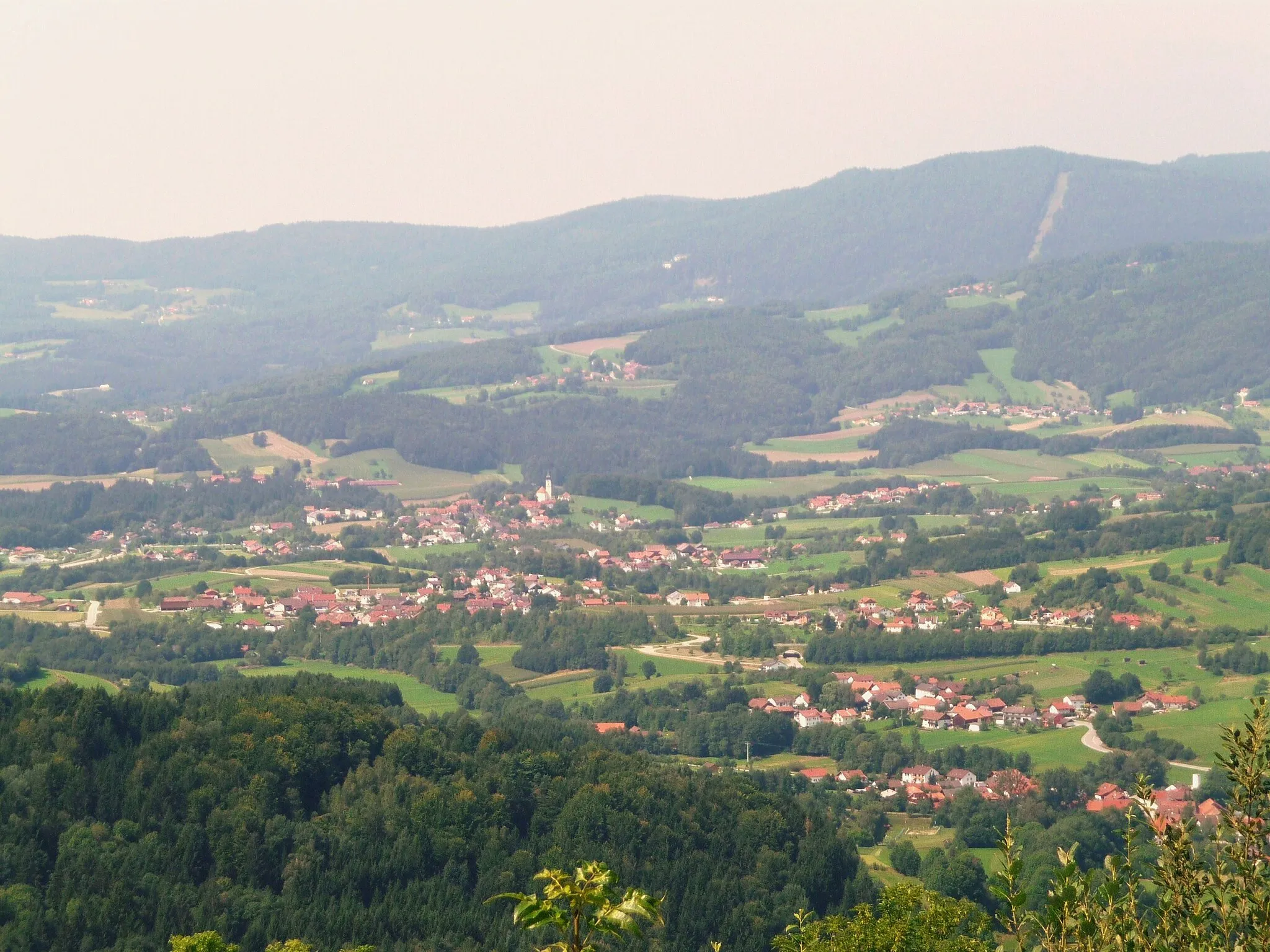
Rabenstein614 mVillageRabenstein: Explore the historic ruins of the castle and immerse yourself in its rich history.
76 km
76 km
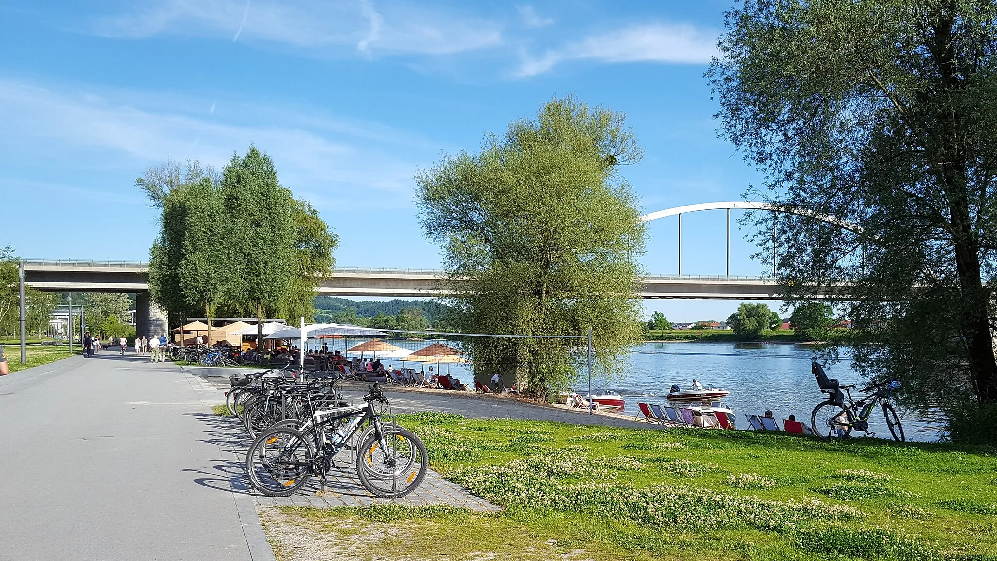
ZellVillageZell: Conclude your journey in this picturesque village and relax by the peaceful lake.
81 km
81 km
Finish: Ritzmais Village centerBischofsmais: Exploring the scenic routes of Bischofsmais in Niederbayern, Germany.
Cycling routes nearby: