Explore diverse landscapes in Auerbach
Cycling routes from Auerbach
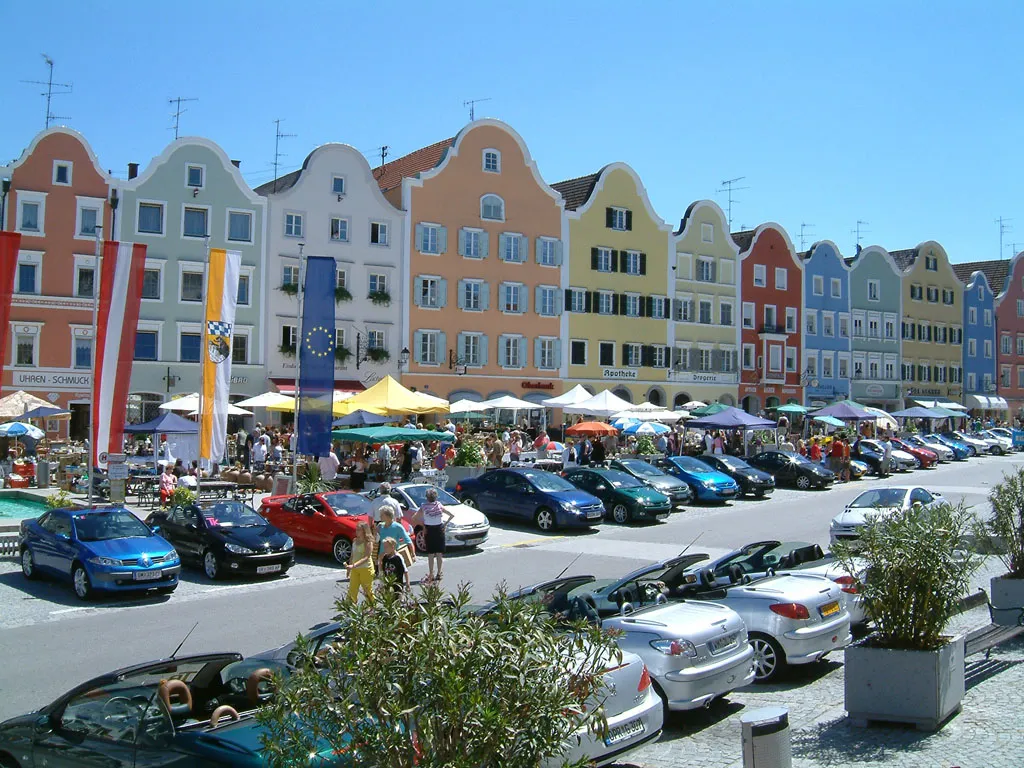
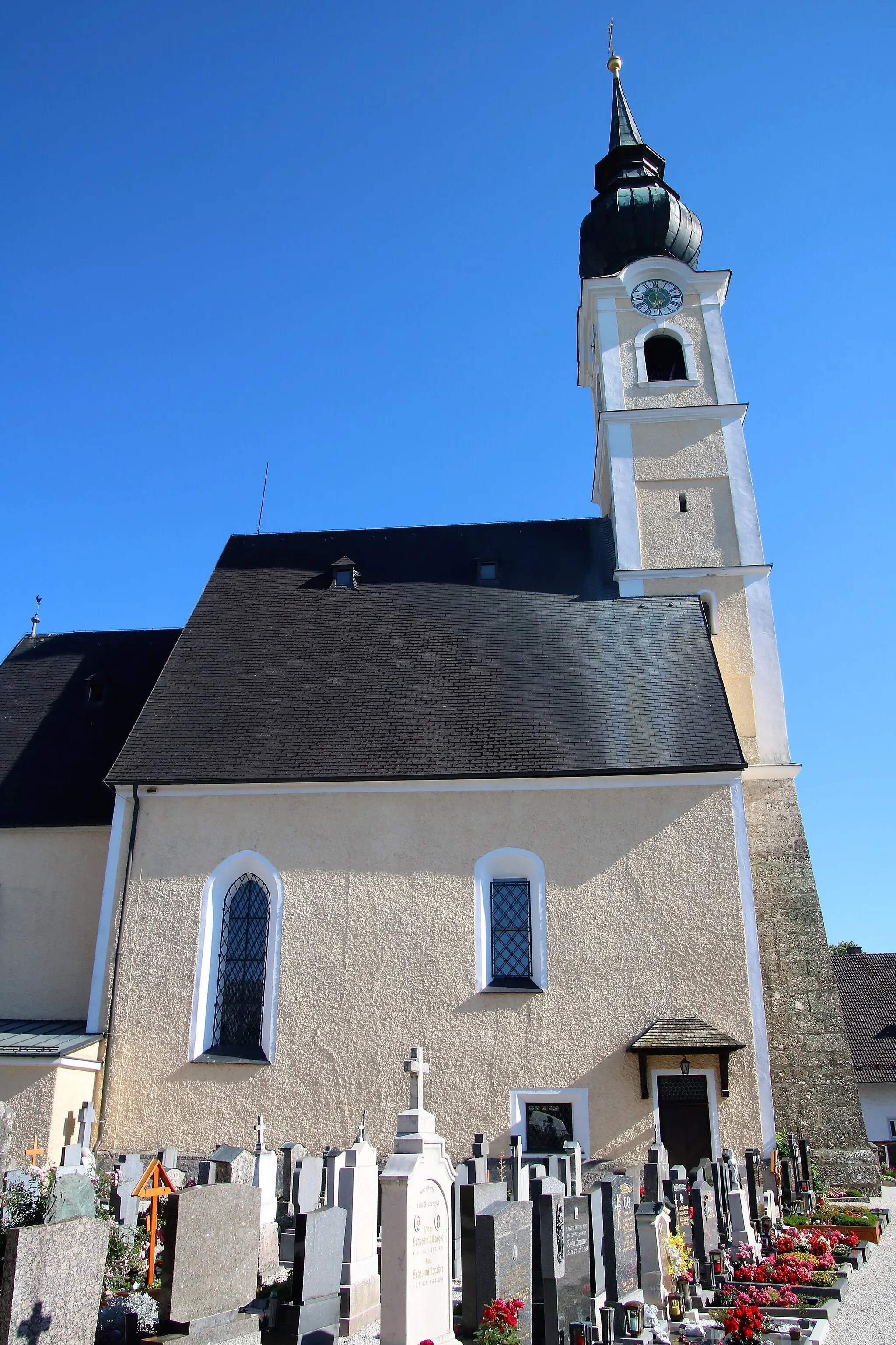
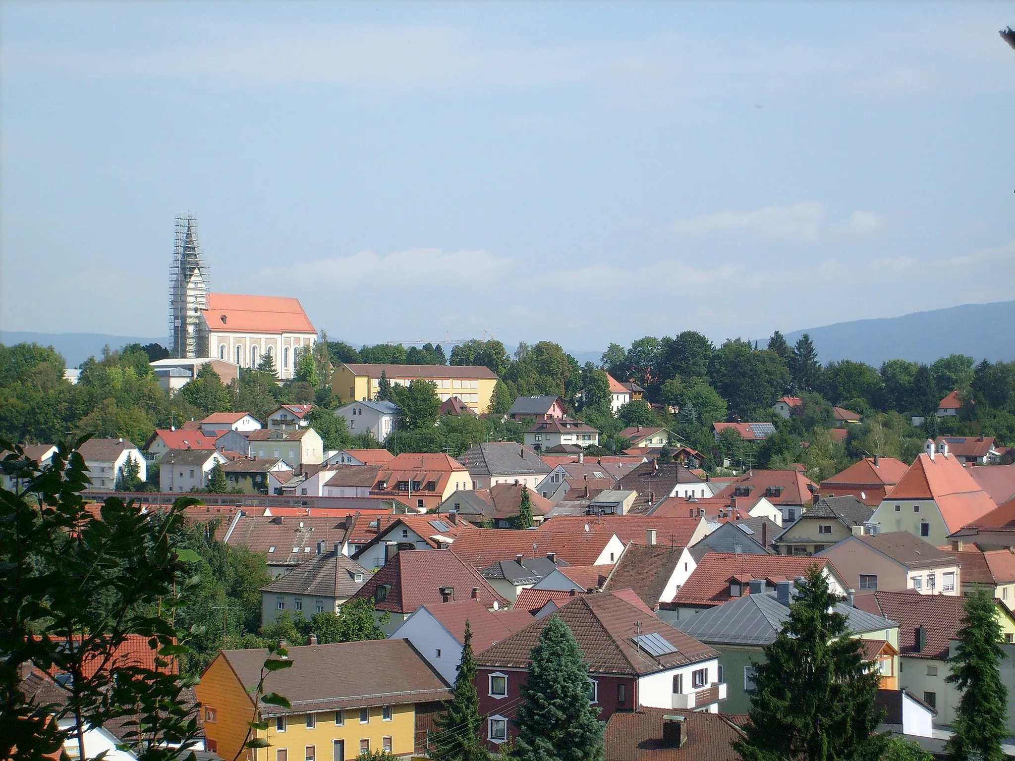
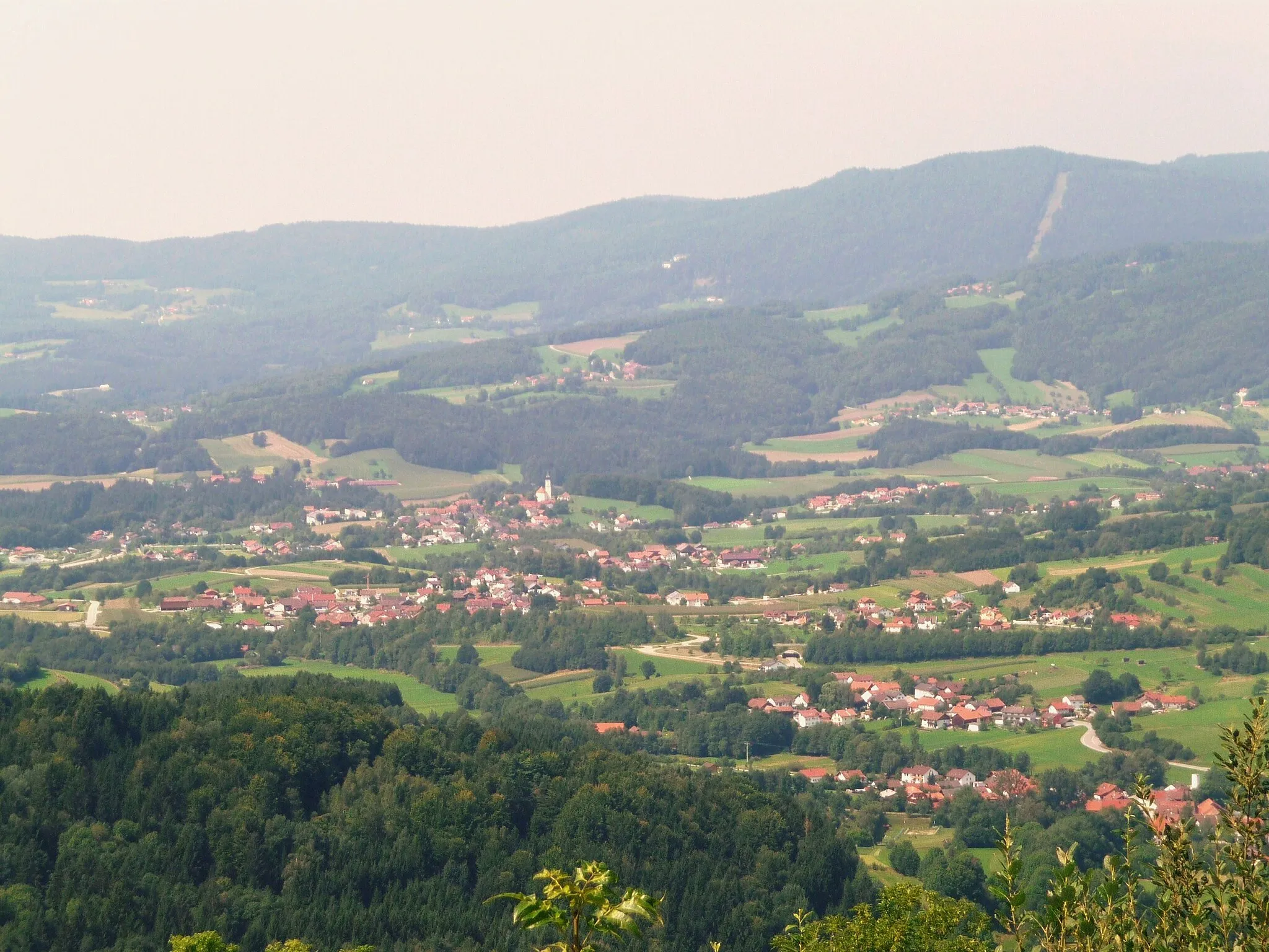
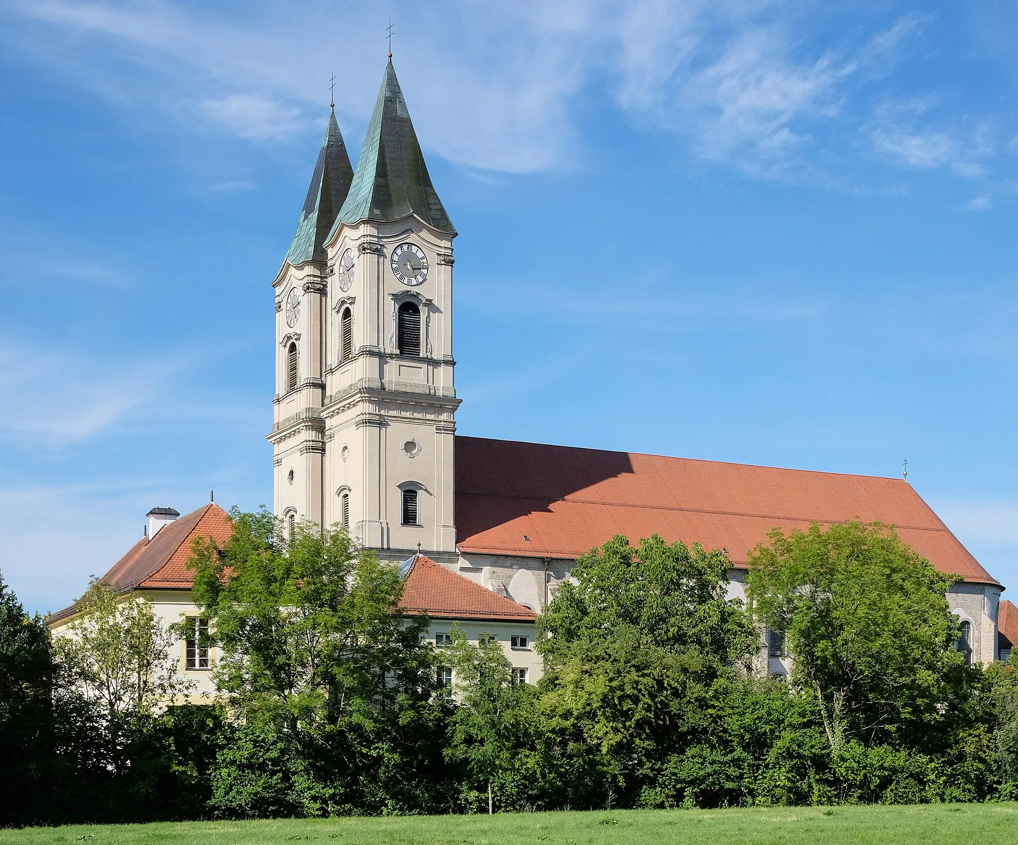
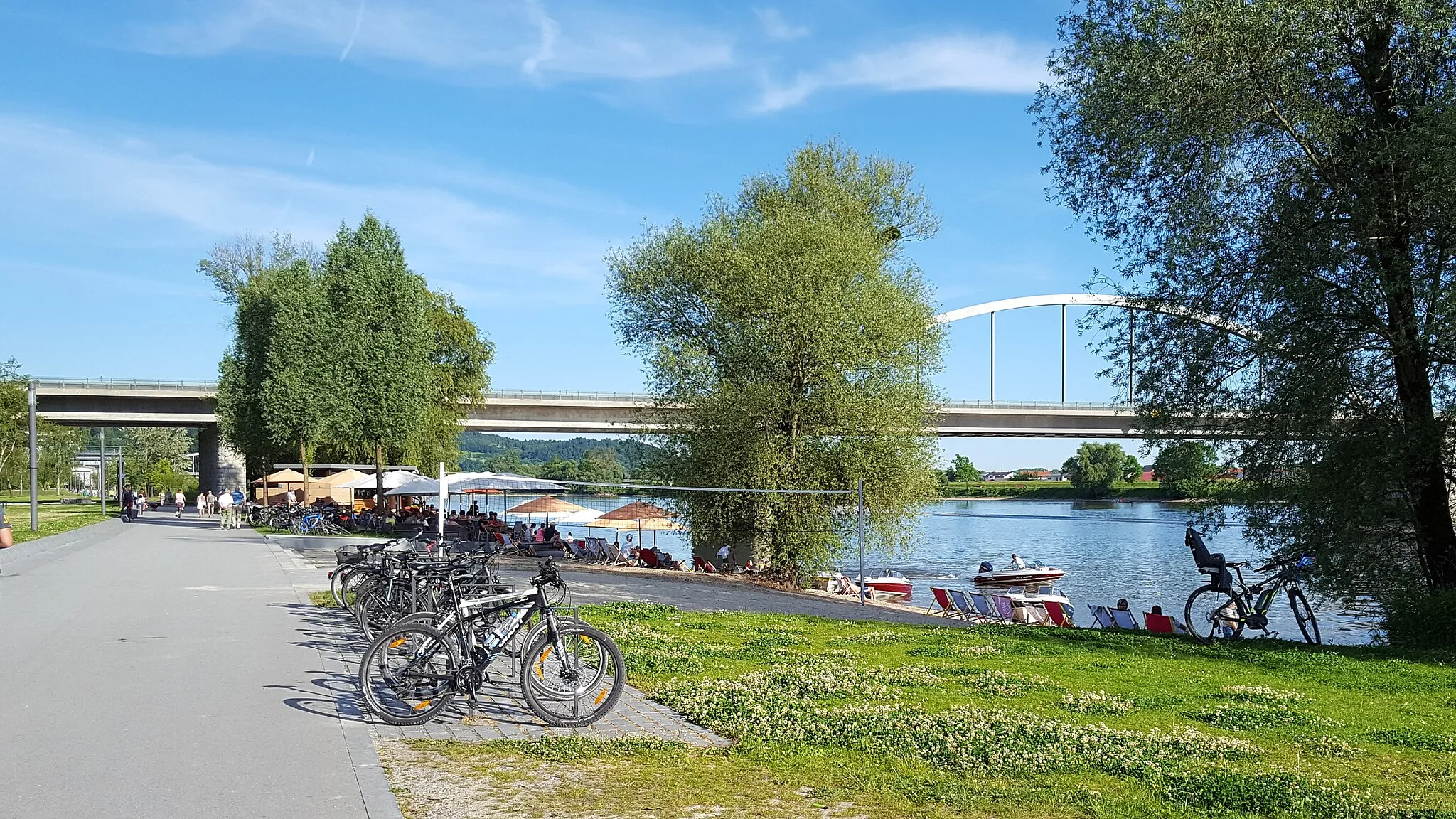
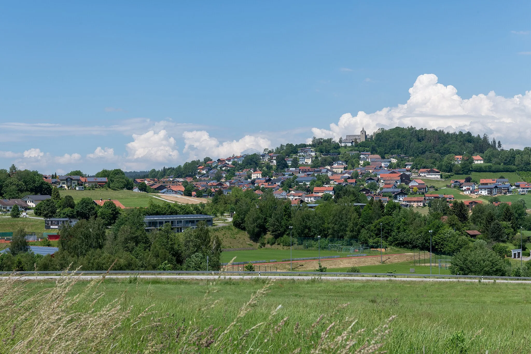
Auerbach is a town located in the Niederbayern region of Germany. Cyclists in Auerbach can explore a variety of road and gravel routes, as the area offers diverse terrains, including flat sections and rolling hills. The locality is surrounded by beautiful landscapes, including forests and rivers, enhancing the cycling experience. A well-known cycling climb nearby is the Großer Arber, the highest peak in the Bavarian Forest. This challenging climb provides stunning views from the top. Overall, Auerbach is a great destination for cyclists looking for a mix of scenic routes and challenging climbs.
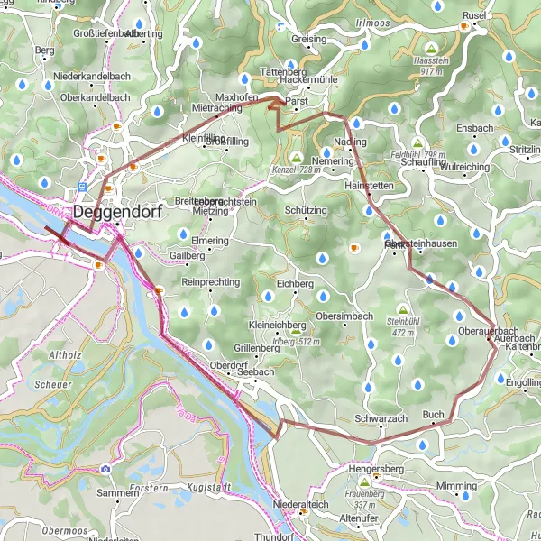
Experience the thrill of off-road cycling with stunning views from Hochberg.
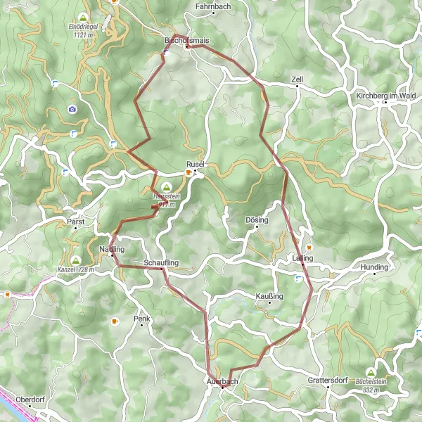
Embark on this adventurous 40 km gravel route that will take you off the beaten path and through stunning natural landscapes. Ascend Hausstein for breathtaking views of the surrounding countryside before descending into Bischofsmais and Hieselberg. Enjoy panoramic vistas from Hochberg before reaching the charming town of Auerbach. This route is ideal for adventurous cyclists looking for a thrilling off-road experience in the beautiful Niederbayern region.
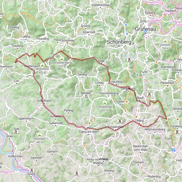
The Hidden Gems
Discover hidden gems along this challenging 49 km gravel route.
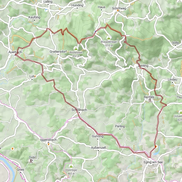
Embark on a journey to uncover the hidden gems on this 49 km gravel route starting near Auerbach. With an intense ascent of 1,095 meters, this route is suitable for experienced and well-trained amateurs. Explore the mesmerizing beauty of Büchelstein and Langfurth, and be captivated by the serenity of Kleiner Aschenstein. Pedal through Eging am See and admire its sparkling waters and stunning views. Continue your adventure to Ellerberg and Schöllnach, where you can enjoy the tranquility and immerse yourself in nature. Finally, reach Roggersing and marvel at its unique charm before returning back to the starting point.
Conquer the challenging ascent to Hunding and witness the natural wonder of Teufelstisch.
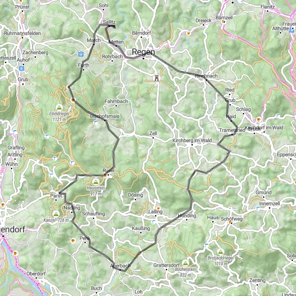
Prepare yourself for a demanding 72 km road route that offers stunning natural beauty and exhilarating climbs. Ascend Greising and reward yourself with panoramic views of the picturesque landscapes. Pedal through the beautiful town of Rinchnach and soak in its traditional Bavarian atmosphere. Challenge yourself with the steep ascent to Hunding and admire the incredible natural formation of Teufelstisch. This route is recommended for experienced cyclists who are seeking a thrilling and rewarding cycling experience.
Embark on a gravel adventure through pristine landscapes in Niederbayern
This adventurous gravel route offers a thrilling cycling experience through the untouched natural beauty of Niederbayern. Starting near Auerbach, the route covers a distance of 73 km, with a total ascent of 1606 meters. Prepare to be mesmerized by the scenic beauty of the region as you ride through forests, meadows, and rolling hills. The route is filled with highlights, including picturesque villages, panoramic viewpoints, and majestic castles.
Enjoy a scenic gravel route along the rivers of Niederbayern.
Follow the rivers on this stunning 60 km gravel route starting near Auerbach. With a total ascent of 381 meters, this route offers a leisurely ride with breathtaking views along the way. Pass through charming villages, cycle along the riverbanks, and enjoy the peaceful atmosphere of the region. This route is perfect for riders who want to combine beautiful landscapes with a relaxed cycling experience.
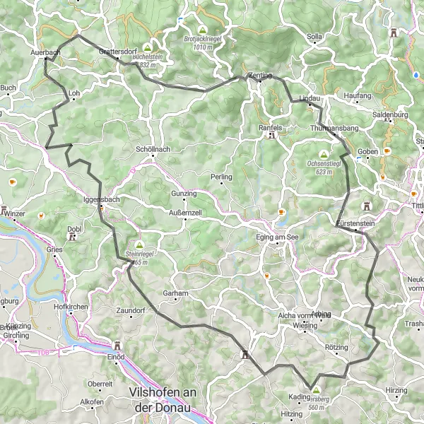
Conquer the challenging ascent to Eisenberg and explore the diverse landscapes of Walmering.
Embark on this challenging 76 km road route that takes you through diverse landscapes and introduces you to the region's natural beauty. Conquer the tough climb to Eisenberg and enjoy panoramic views of the surrounding countryside. Pedal through picturesque villages like Zenting and Fürstenstein before reaching the vibrant town of Walmering. This route is recommended for experienced cyclists looking for a mix of challenging climbs and scenic stretches with stunning vistas.
Take a short gravel escape through the picturesque landscapes of Niederbayern.
If you're looking for a quick gravel escape, this 37 km route starting near Auerbach is the perfect choice. With a total ascent of 443 meters, this is a relatively easy ride that still allows you to experience the beauty of the region. The route takes you through charming villages, peaceful countryside, and stunning natural landscapes. Take your time to soak in the tranquil atmosphere of Niederbayern and enjoy the scenic beauty along the way.
Hidden Gems of Niederbayern
Discover the hidden gems of Niederbayern on this gravel route.
Get off the beaten path and discover the hidden gems of Niederbayern on this off-road biking adventure. Starting near Auerbach, the route covers a distance of 56 km, with a total ascent of 1367 meters. You'll explore pristine forests, remote villages, and secluded viewpoints that truly showcase the unique beauty of the region. Prepare to be amazed by the untouched nature and hidden treasures along the way.
The Forests of Niederbayern

Experience the wilderness of Schanzenberg and the tranquility of Roggersing village.
Embark on this challenging 47 km road route that will take you through breathtaking forests and introduce you to the region's natural beauty. Climb the scenic Schanzenberg and enjoy stunning views of the surrounding landscapes. Pedal through the peaceful village of Roggersing and immerse yourself in its idyllic rural atmosphere. This route is suitable for experienced cyclists looking for a shorter and more intense cycling experience.
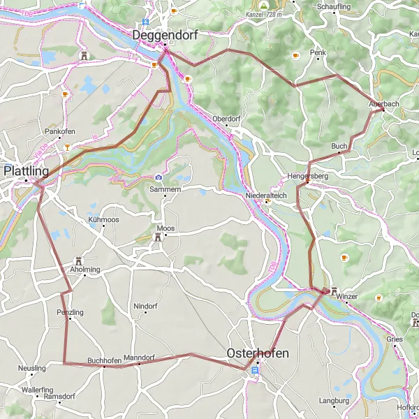
A thrilling gravel route filled with picturesque highlights and challenging terrains.
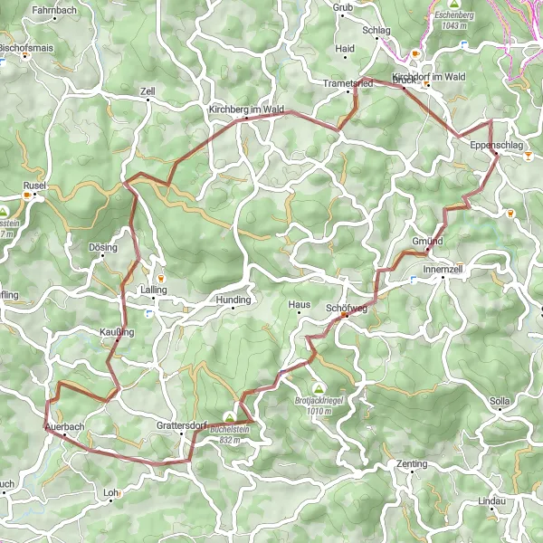
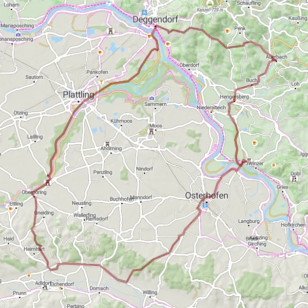
Embark on an exciting gravel adventure starting in Auerbach, Niederbayern. This 77 km route offers a unique blend of picturesque landscapes and challenging terrains. With a total ascent of 631 meters, this ride will test the endurance of even the most well-trained amateurs. Experience the beauty of Hengersberg, the captivating Burgruine Winzer, and the tranquil Obergessenbach. As you pedal through Oberpöring, Deggendorf, and Geiersberg, be captivated by the stunning views around you. Finally, immerse yourself in the serene beauty of Raubühl and Auerbach.
Cycling routes nearby:

Nearby regions: