Scenic Gravel Route along the Rivers
A gravel cycling route starting from Auerbach
Enjoy a scenic gravel route along the rivers of Niederbayern.
Map
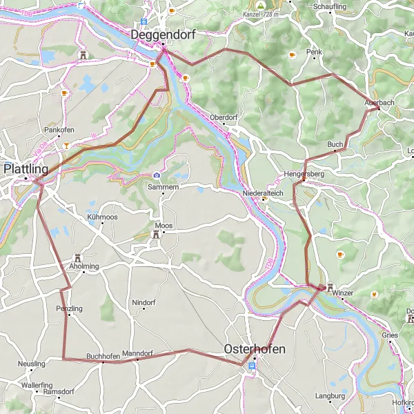
Follow the rivers on this stunning 60 km gravel route starting near Auerbach. With a total ascent of 381 meters, this route offers a leisurely ride with breathtaking views along the way. Pass through charming villages, cycle along the riverbanks, and enjoy the peaceful atmosphere of the region. This route is perfect for riders who want to combine beautiful landscapes with a relaxed cycling experience.
gravel
60 km
381 m
Chill
Route profile
Highlights on the route
0 km
0 km
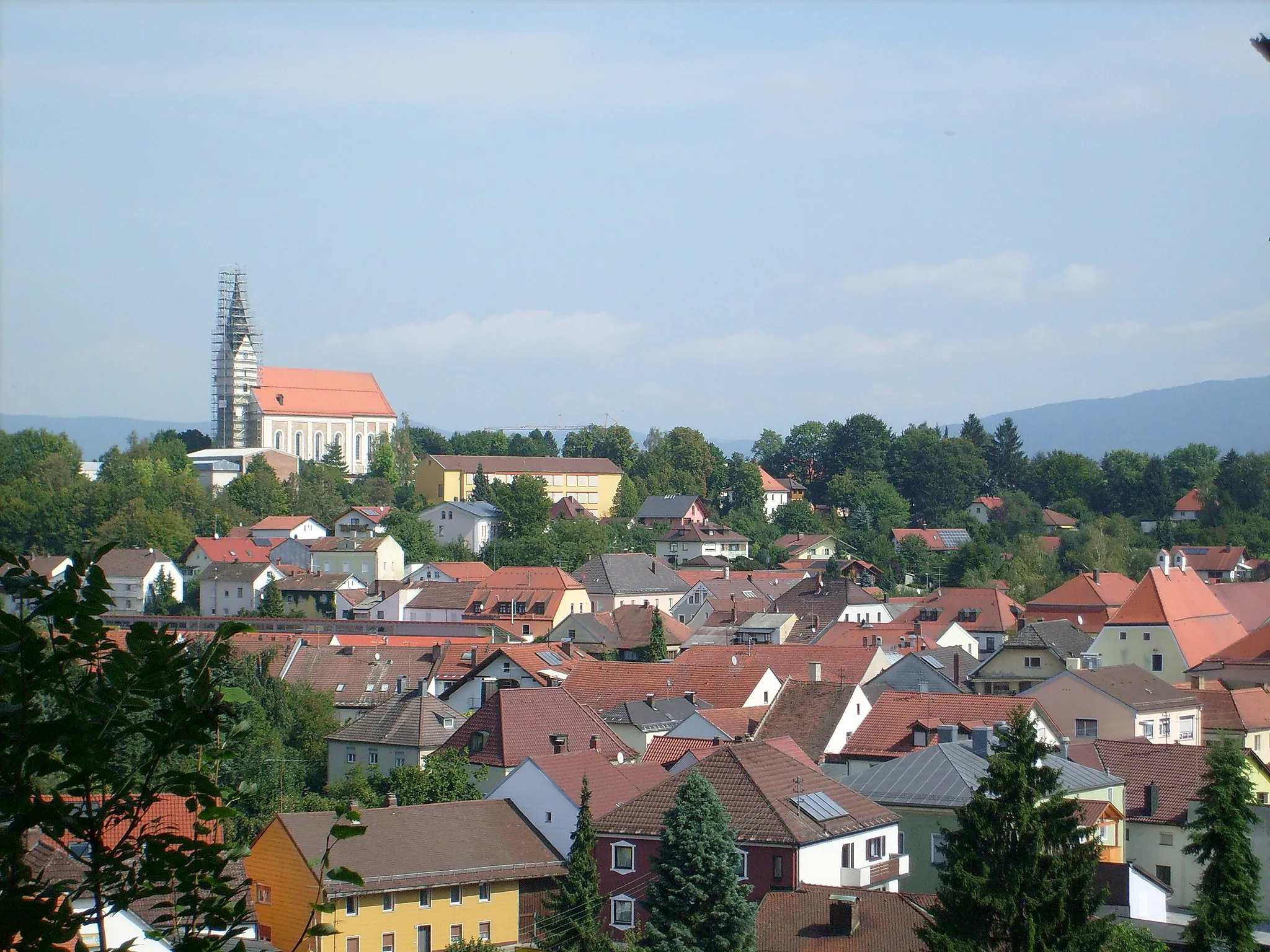
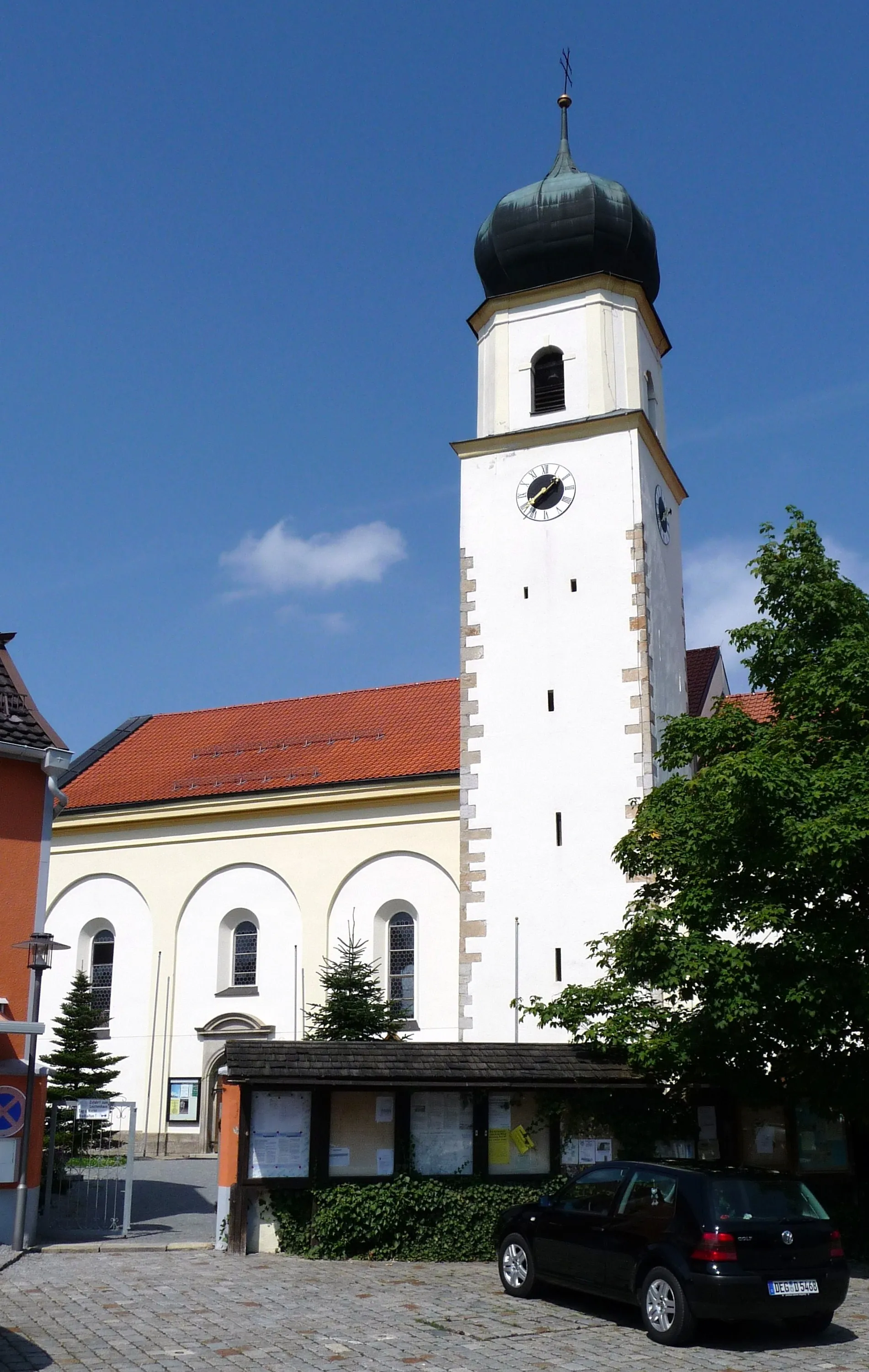
Start: Auerbach Village centerAuerbach: Explore diverse landscapes in Auerbach
Auerbach is a town located in the Niederbayern region of Germany. Cyclists in Auerbach can explore a variety of road and gravel routes, as the area offers diverse terrains, including flat sections and rolling hills. The locality is surrounded by beautiful landscapes, including forests and rivers, enhancing the cycling experience. A well-known cycling climb nearby is the Großer Arber, the highest peak in the Bavarian Forest. This challenging climb provides stunning views from the top. Overall, Auerbach is a great destination for cyclists looking for a mix of scenic routes and challenging climbs.4 km
4 km
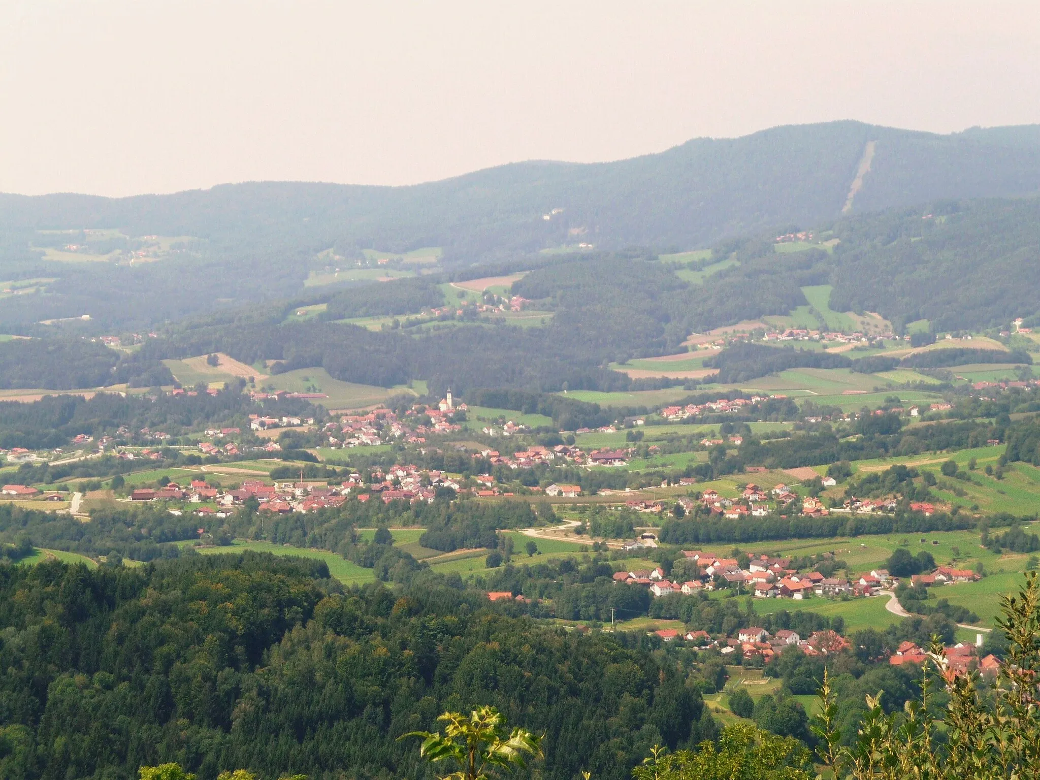
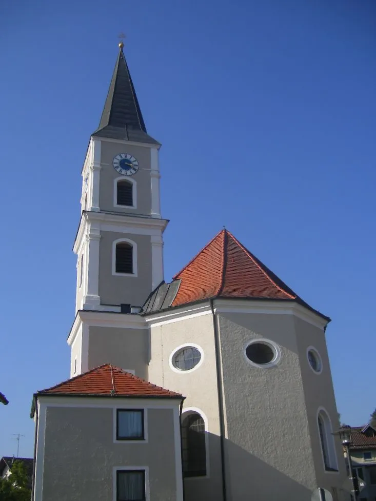
Hengersberg382 mPeakStop by Hengersberg, a lovely village with historical sites and a peaceful atmosphere.
12 km
12 km
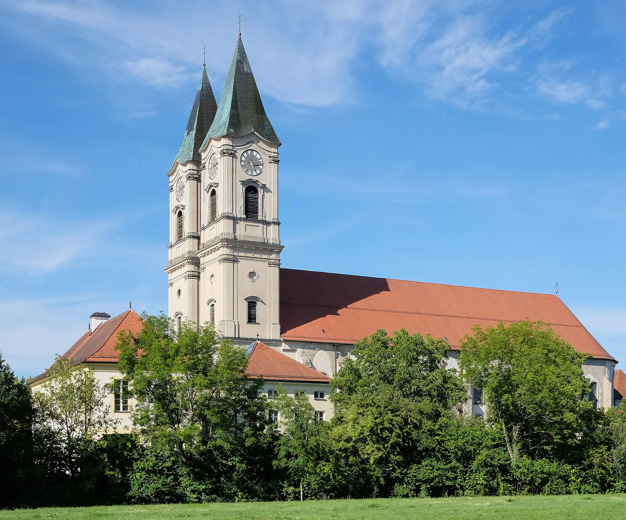
Burgruine WinzerCastleVisit Burgruine Winzer, a medieval castle ruin with panoramic views over the rivers and the surrounding landscapes.
25 km
25 km
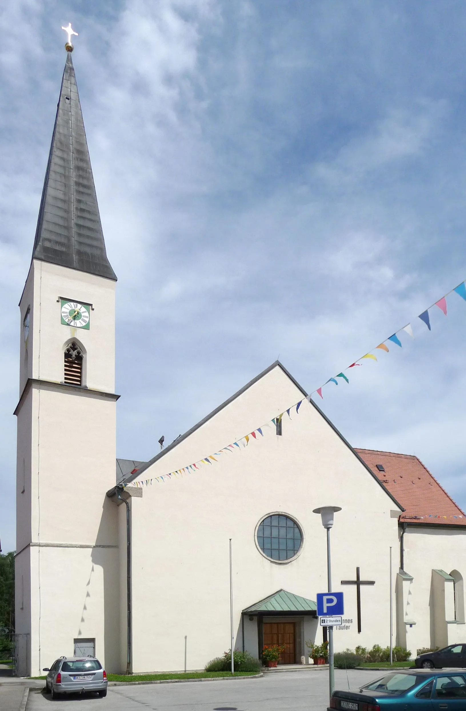
BuchhofenVillageExplore Buchhofen, a small Bavarian village known for its traditional half-timbered houses and picturesque alleyways.
37 km
37 km
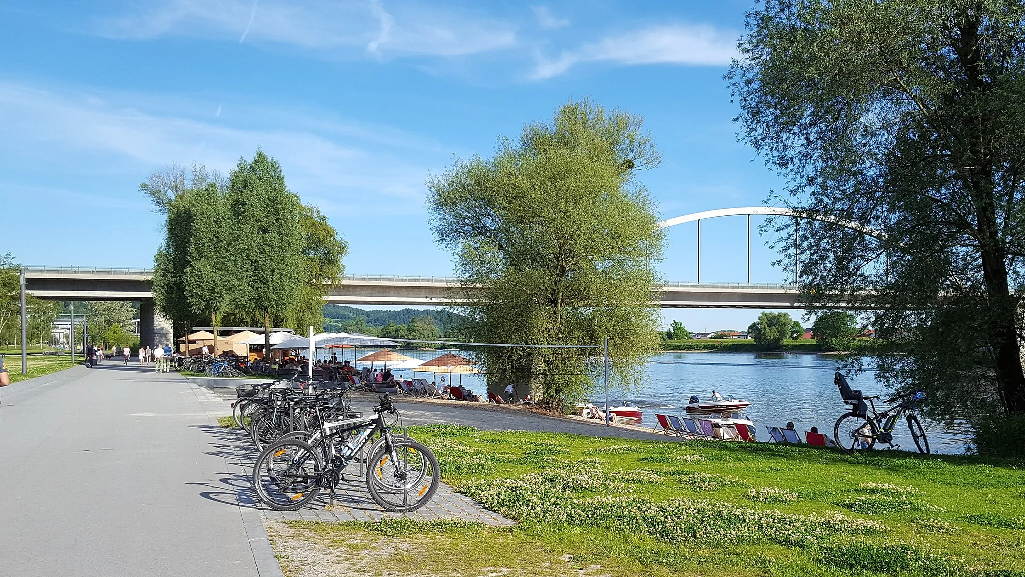
PlattlingTownRide through Plattling, a riverside town offering beautiful views along the Danube River and a charming historic center.
48 km
48 km
DeggendorfTownDiscover Deggendorf, a bustling town located at the confluence of the Danube and Isar rivers, offering a mix of historical landmarks, scenic beauty, and a vibrant atmosphere.
48 km
48 km
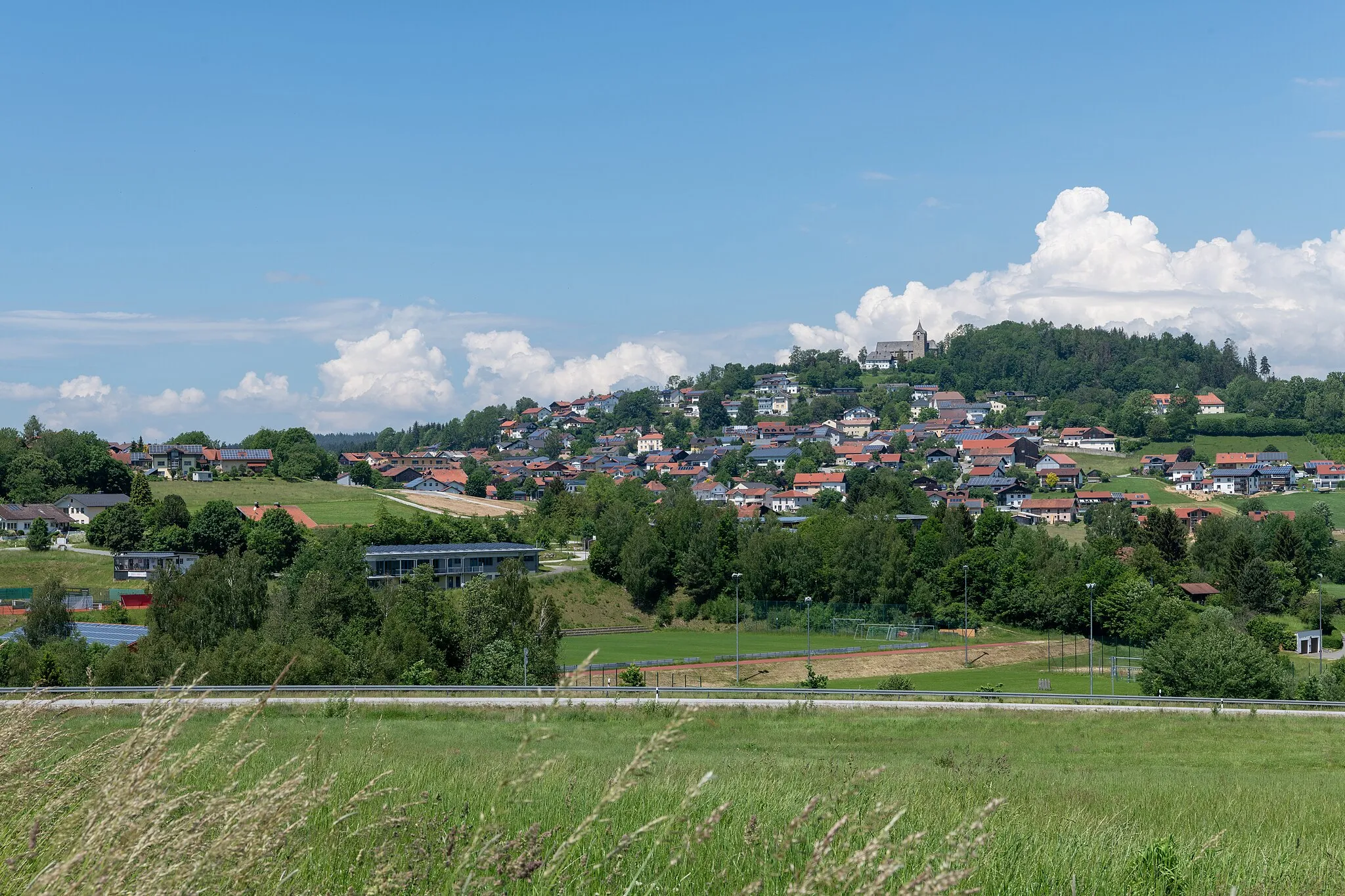
Geiersberg368 mPeakPass through Geiersberg, a small village perched on a hilltop, offering breathtaking views of the surrounding countryside and the meandering rivers.
58 km
58 km
Raubühl437 mPeakEnjoy the beauty of Raubühl, a charming small village surrounded by nature and rolling hills.
60 km
60 km
AuerbachVillageFinish the route in Auerbach, where you can explore the historical town center and visit the beautiful Auerbach Castle.
60 km
60 km
Finish: Auerbach Village centerAuerbach: Explore diverse landscapes in Auerbach
Cycling routes from Auerbach:
The Forests of Niederbayern The Auerbach Castle Loop Gravel Adventure through Untouched Nature The Greising Challenge The Gravel Adventure Short Gravel Escape Scenic Gravel Route along the Rivers Hidden Gems of Niederbayern Bayerischer Hügel- und Burgentrip The Eisenberg Adventure The Gravel Adventure The Hidden Gems
Cycling routes nearby: