Gravel Adventure through Untouched Nature
A gravel cycling route starting from Auerbach
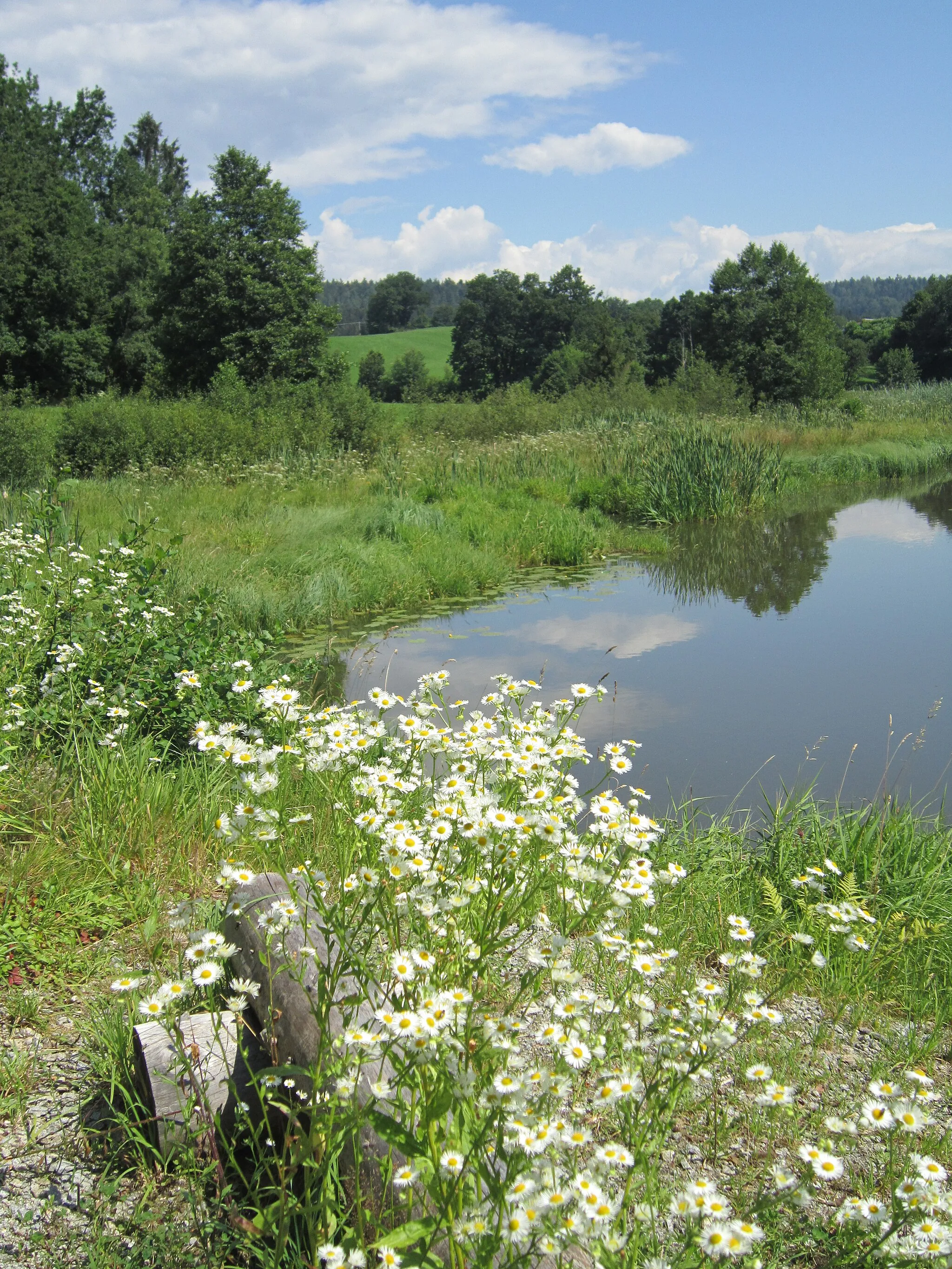
Embark on a gravel adventure through pristine landscapes in Niederbayern
Map
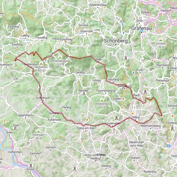
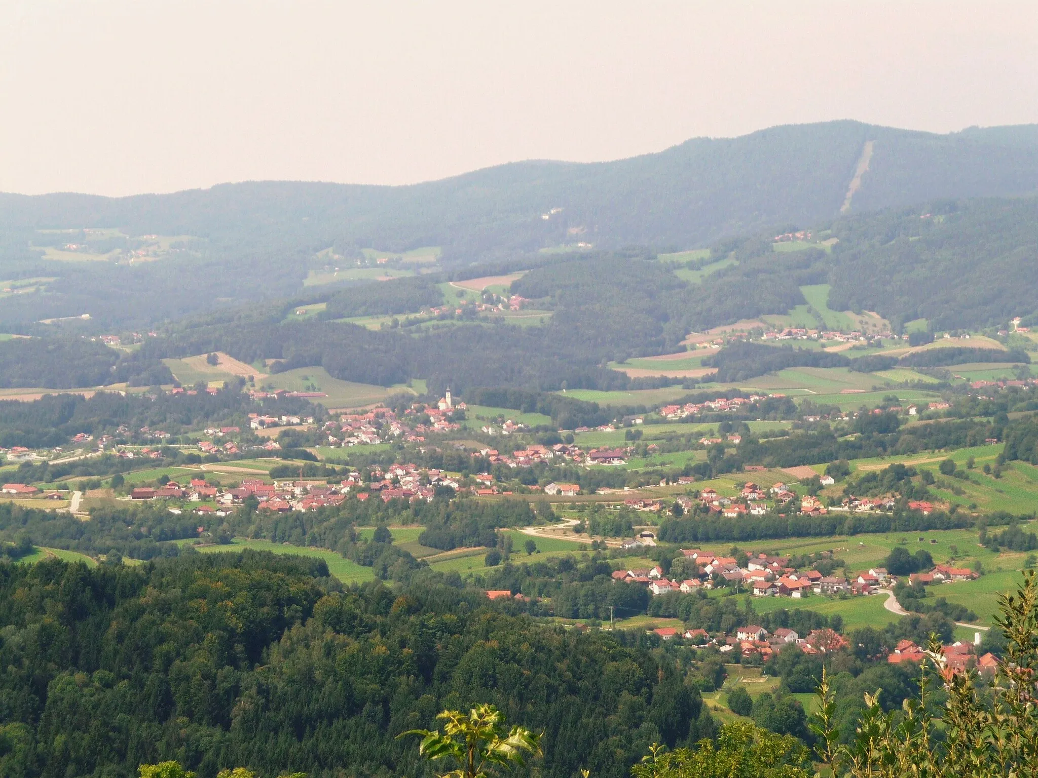
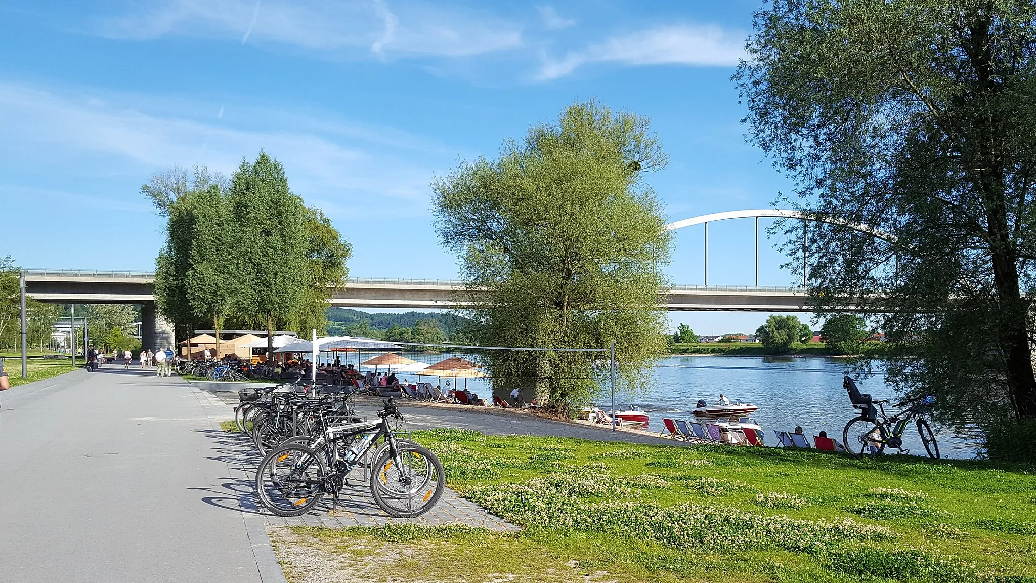
This adventurous gravel route offers a thrilling cycling experience through the untouched natural beauty of Niederbayern. Starting near Auerbach, the route covers a distance of 73 km, with a total ascent of 1606 meters. Prepare to be mesmerized by the scenic beauty of the region as you ride through forests, meadows, and rolling hills. The route is filled with highlights, including picturesque villages, panoramic viewpoints, and majestic castles.
gravel
73 km
1606 m
Tough
Route profile
Highlights on the route
0 km
0 km
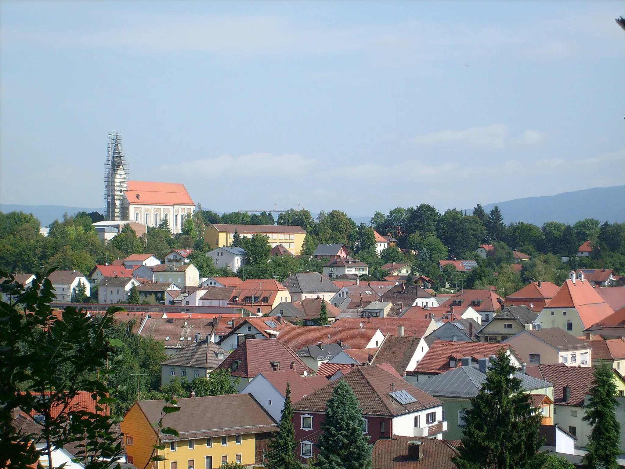
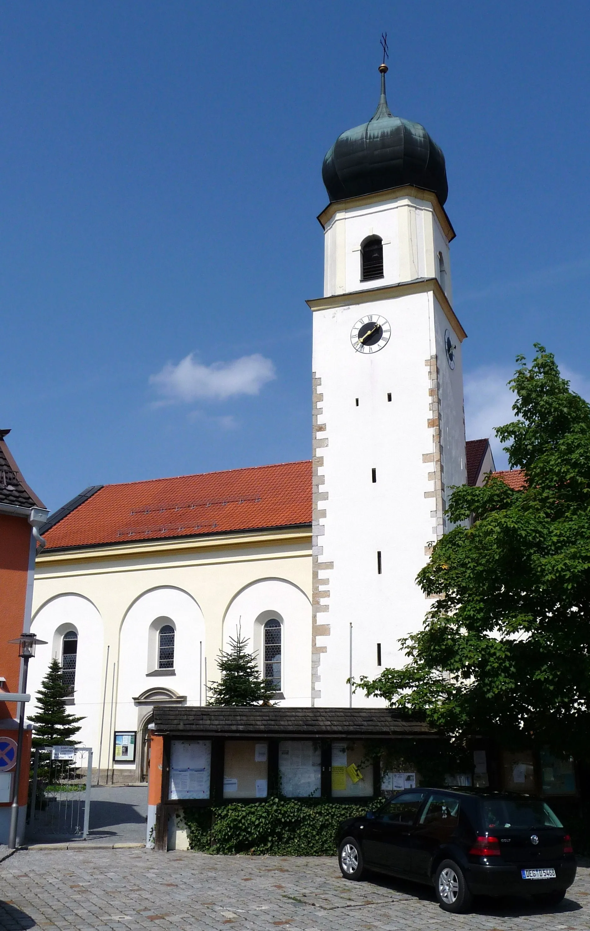
Start: Mapferding Village centerAuerbach: Explore diverse landscapes in Auerbach
Auerbach is a town located in the Niederbayern region of Germany. Cyclists in Auerbach can explore a variety of road and gravel routes, as the area offers diverse terrains, including flat sections and rolling hills. The locality is surrounded by beautiful landscapes, including forests and rivers, enhancing the cycling experience. A well-known cycling climb nearby is the Großer Arber, the highest peak in the Bavarian Forest. This challenging climb provides stunning views from the top. Overall, Auerbach is a great destination for cyclists looking for a mix of scenic routes and challenging climbs.10 km
10 km
LangfurthVillagePause at Langfurth, a small village nestled in a picturesque valley surrounded by dense forests and green pastures.
14 km
14 km
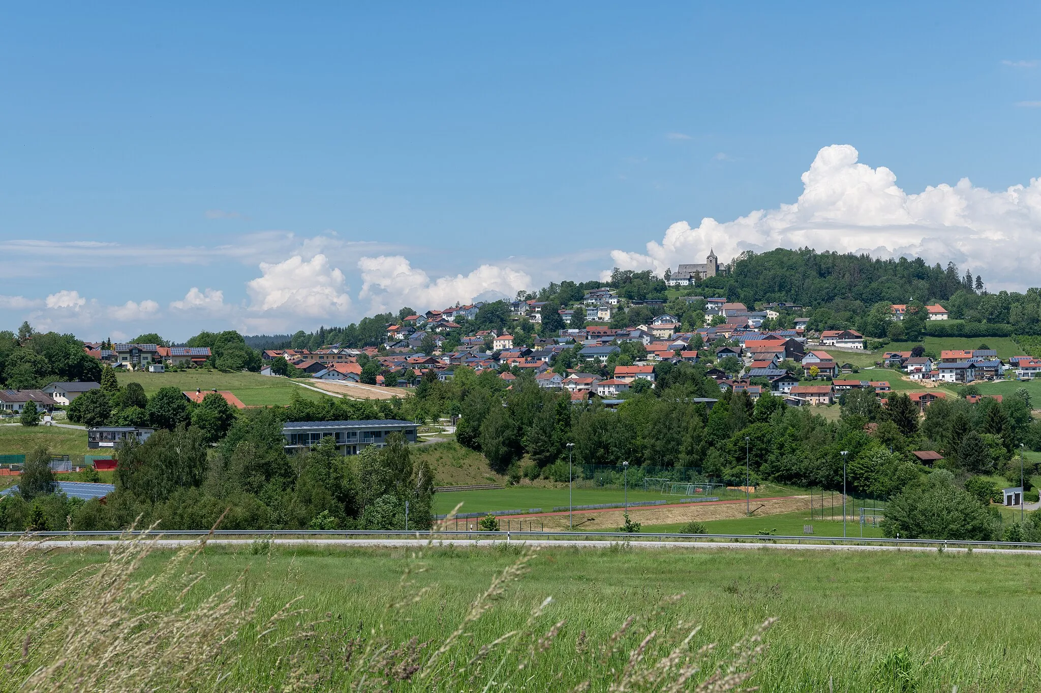
Aschenstein942 mPeakDiscover Aschenstein, a medieval castle ruins offering breathtaking views from its hilltop location.
28 km
28 km
Hauzenberg565 mPeakExplore Hauzenberg, a charming town known for its well-preserved historical buildings and beautiful landscapes.
28 km
28 km
PreyingVillagePass by Preying, a peaceful hamlet with traditional Bavarian farmhouses and majestic countryside views.
44 km
44 km
BlümersbergViewpointClimb up Blümersberg for a panoramic view of the surrounding untouched nature and beautiful meadows.
49 km
49 km
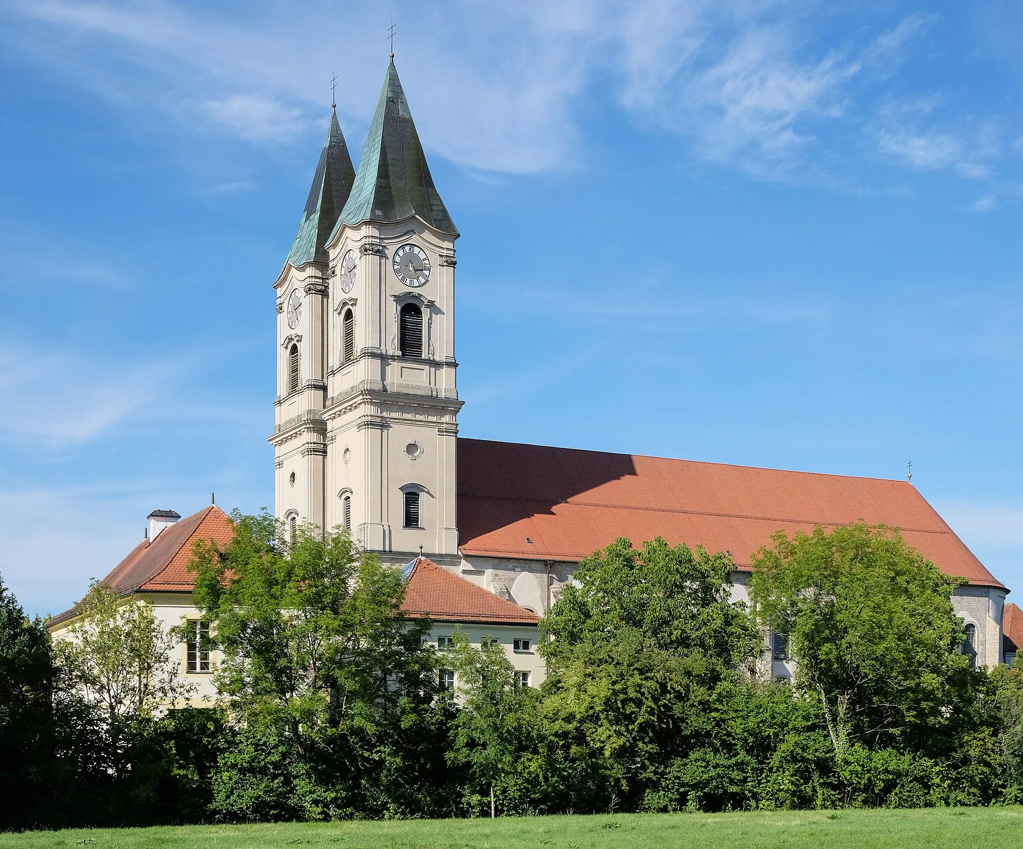
FürstensteinVillageVisit Fürstenstein Castle, a magnificent fortress towering over the Jandelsbrunner Forst forest.
61 km
61 km
Ellerberg387 mPeakRide through Ellerberg, a charming village situated on a hilltop, offering scenic views and traditional Bavarian architecture.
63 km
63 km
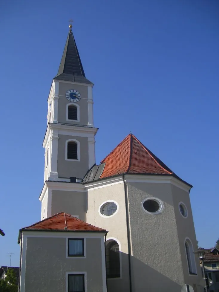
SchöllnachVillageStop by Schöllnach, a small Bavarian town surrounded by rolling hills and picturesque landscapes.
73 km
73 km
MapferdingVillageExplore Mapferding, a tranquil village known for its charming atmosphere and beautiful countryside.
73 km
73 km
Finish: Mapferding Village centerAuerbach: Explore diverse landscapes in Auerbach
Cycling routes from Auerbach:
The Forests of Niederbayern The Auerbach Castle Loop Gravel Adventure through Untouched Nature The Greising Challenge The Gravel Adventure Short Gravel Escape Scenic Gravel Route along the Rivers Hidden Gems of Niederbayern Bayerischer Hügel- und Burgentrip The Eisenberg Adventure The Gravel Adventure The Hidden Gems
Cycling routes nearby: