Short Gravel Escape
A gravel cycling route starting from Auerbach
Take a short gravel escape through the picturesque landscapes of Niederbayern.
Map
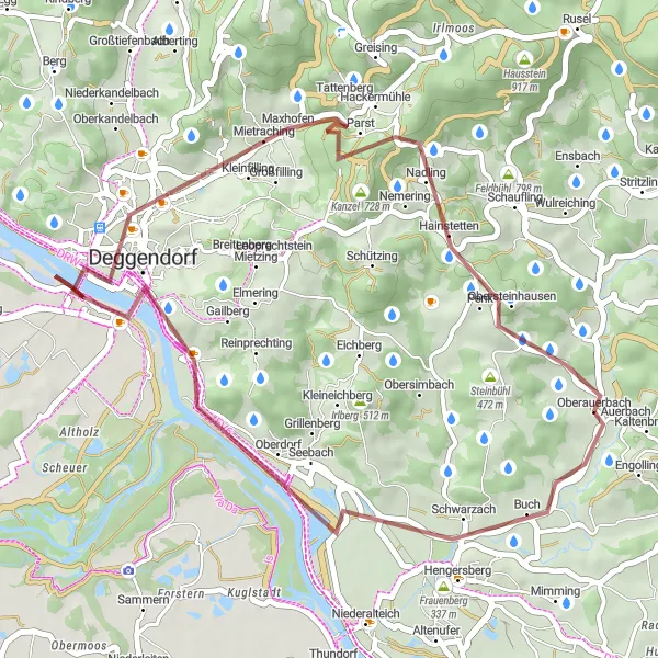
If you're looking for a quick gravel escape, this 37 km route starting near Auerbach is the perfect choice. With a total ascent of 443 meters, this is a relatively easy ride that still allows you to experience the beauty of the region. The route takes you through charming villages, peaceful countryside, and stunning natural landscapes. Take your time to soak in the tranquil atmosphere of Niederbayern and enjoy the scenic beauty along the way.
gravel
37 km
443 m
Chill
Route profile
Highlights on the route
0 km
0 km
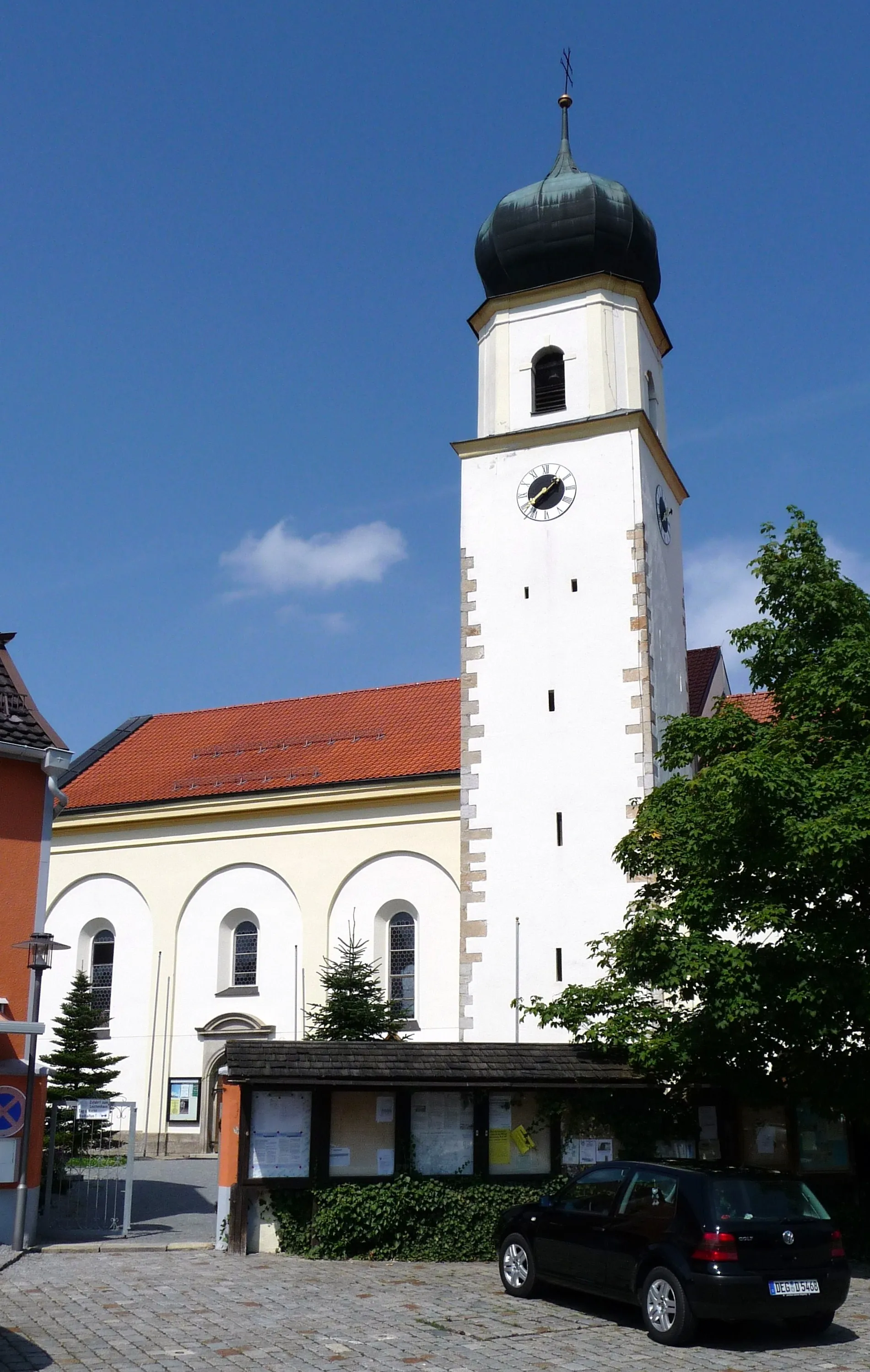
Start: Oberauerbach Village centerAuerbach: Explore diverse landscapes in Auerbach
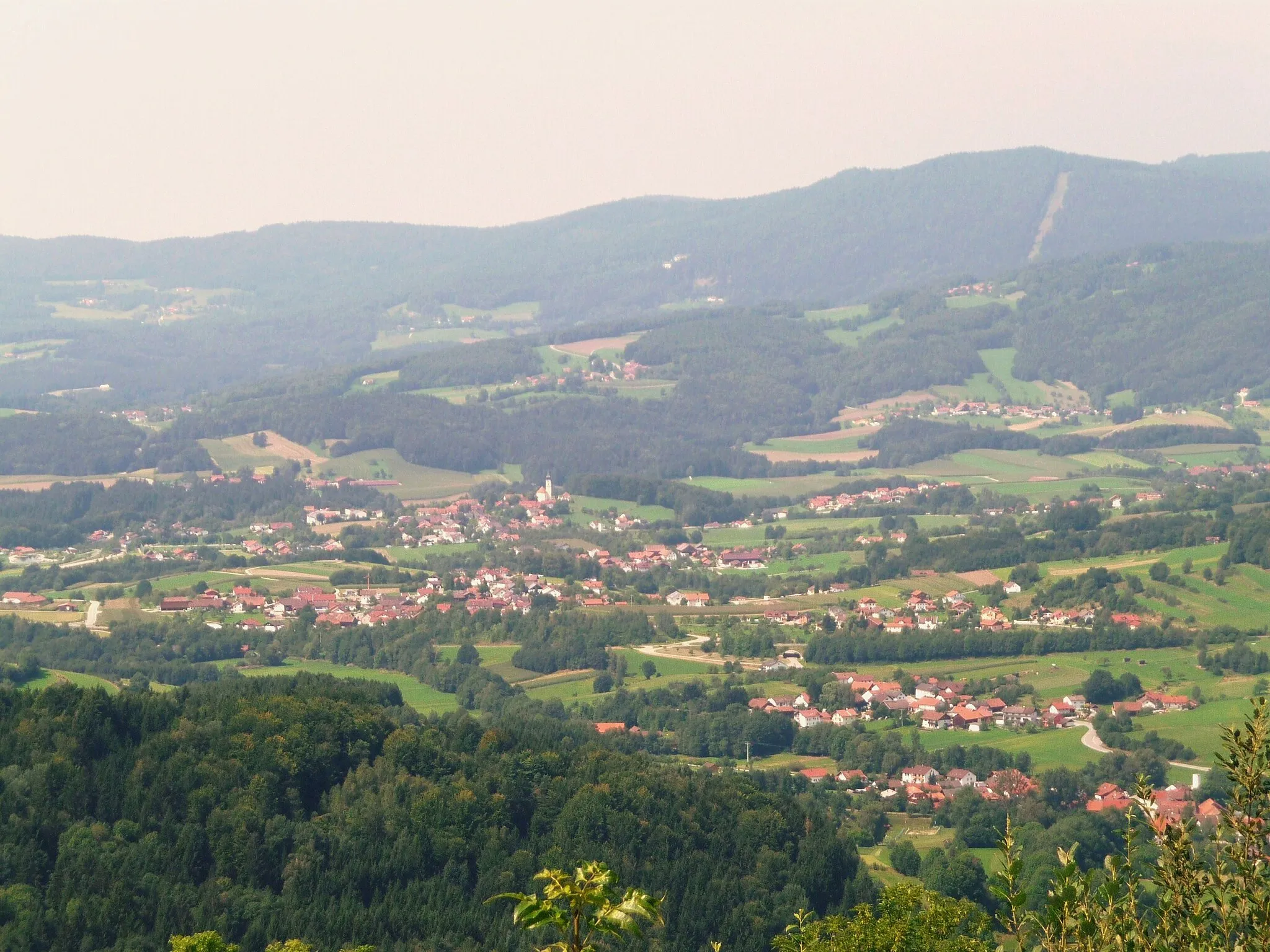
Auerbach is a town located in the Niederbayern region of Germany. Cyclists in Auerbach can explore a variety of road and gravel routes, as the area offers diverse terrains, including flat sections and rolling hills. The locality is surrounded by beautiful landscapes, including forests and rivers, enhancing the cycling experience. A well-known cycling climb nearby is the Großer Arber, the highest peak in the Bavarian Forest. This challenging climb provides stunning views from the top. Overall, Auerbach is a great destination for cyclists looking for a mix of scenic routes and challenging climbs.0 km
0 km
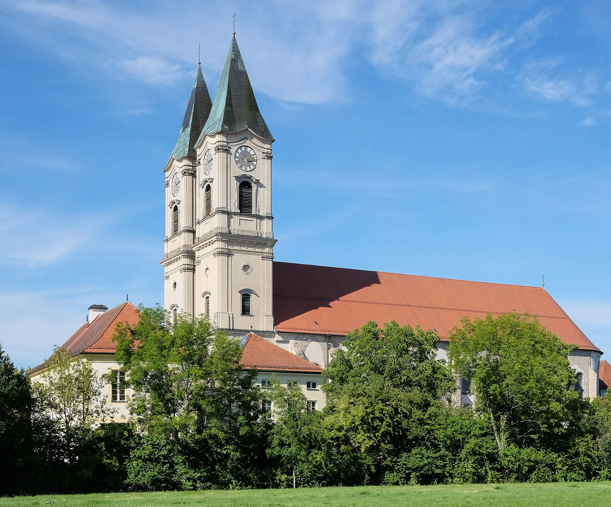
AuerbachVillageExplore Auerbach, a picturesque town with a rich history and beautiful architecture, offering plenty of attractions and charming cafes.
4 km
4 km
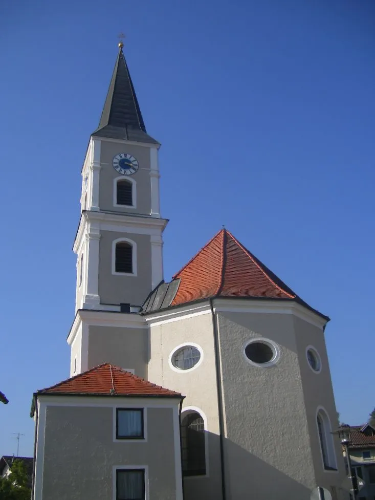
Hengersberg382 mPeakStop by Hengersberg, a lovely village with historical sites and a peaceful atmosphere.
20 km
20 km
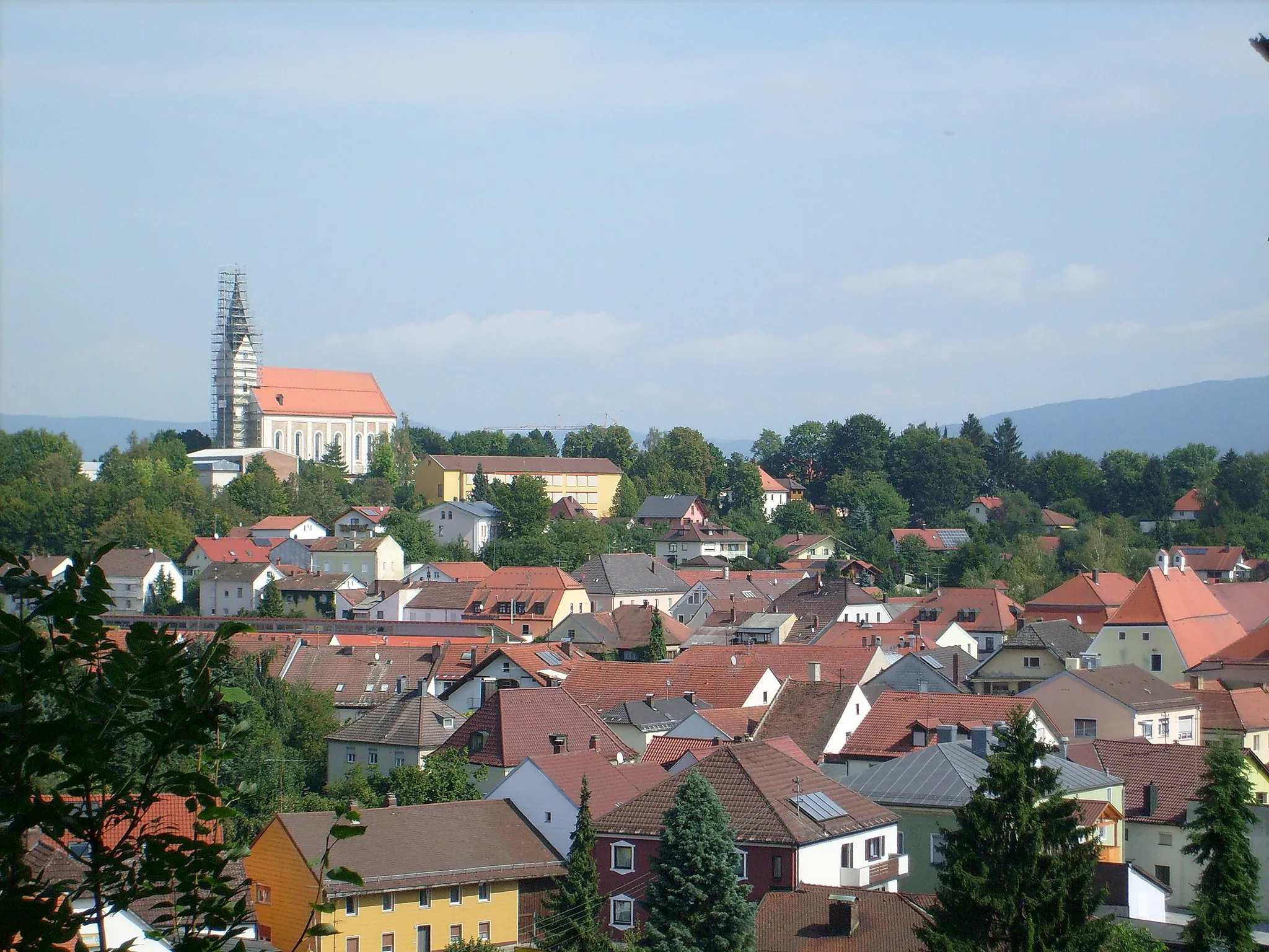
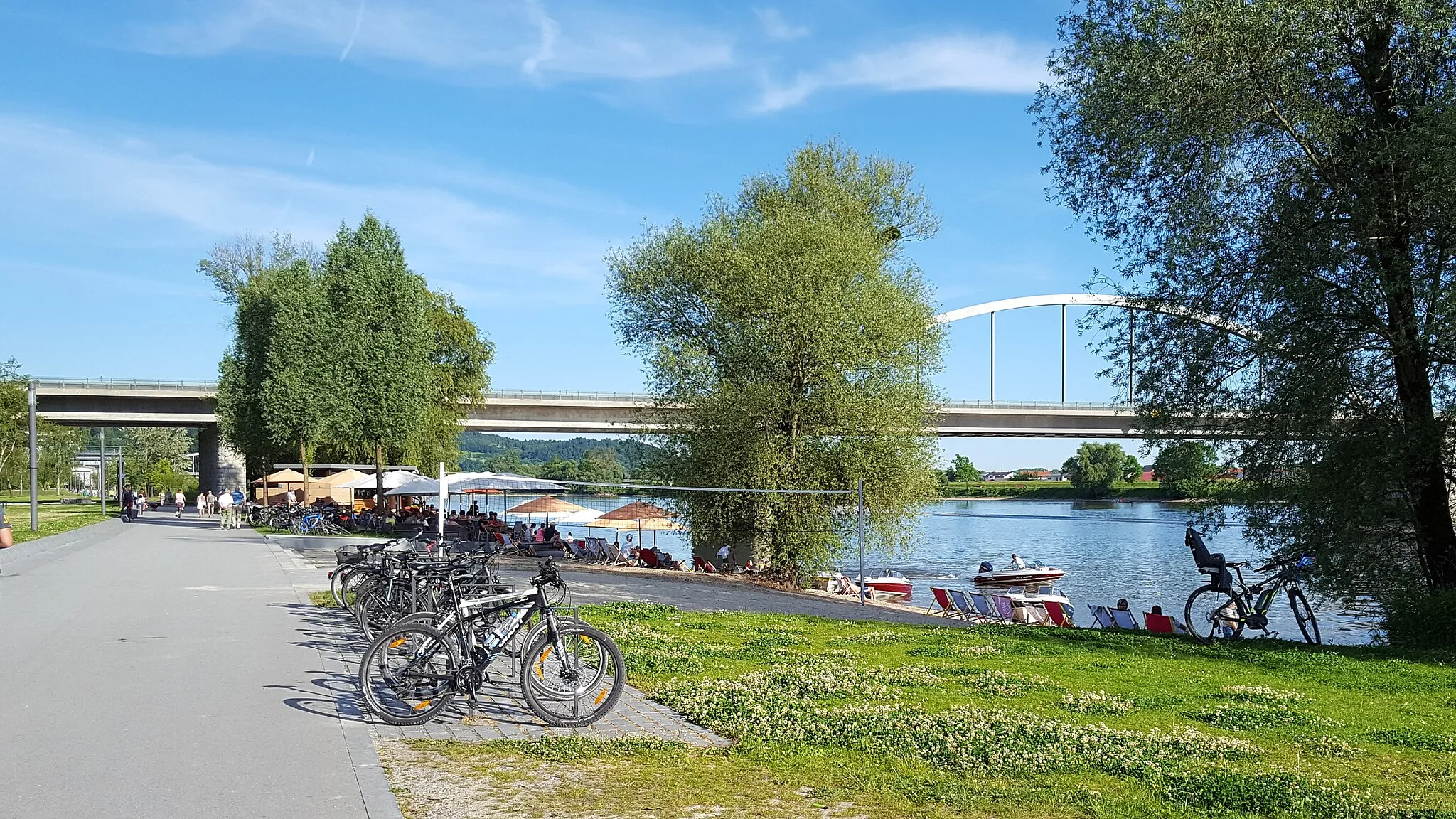
DeggendorfTownVisit Deggendorf, a charming town located at the confluence of the Danube and Isar rivers, offering a unique blend of historical landmarks, natural beauty, and vibrant culture.
21 km
21 km
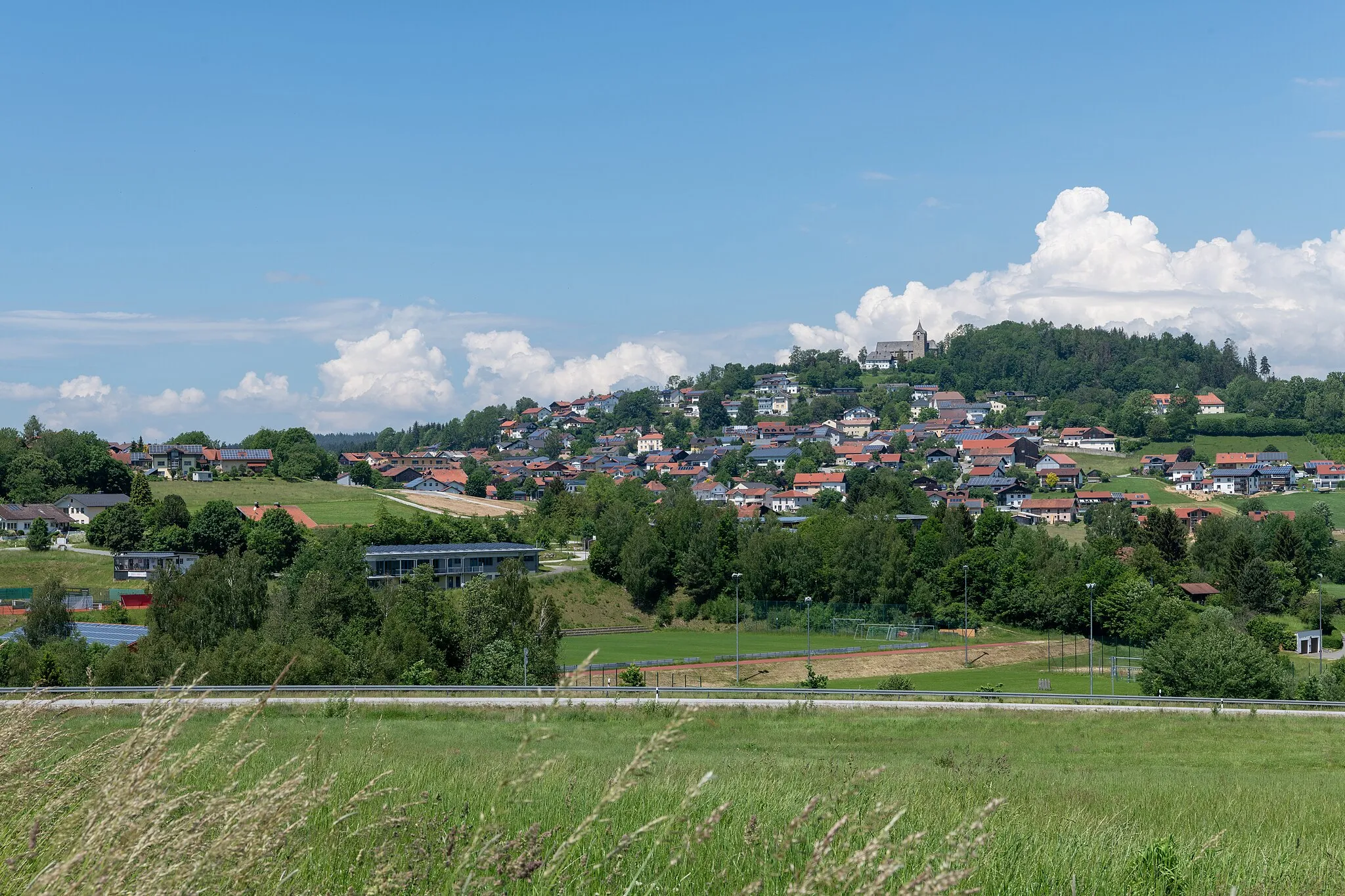
Geißberg388 mPeakClimb up Geißberg, a popular cycling spot with breathtaking views of the surrounding countryside.
27 km
27 km
Oberberg651 mPeakDiscover Oberberg, a small village nestled in the hills, surrounded by lush green meadows and picturesque landscapes.
37 km
37 km
Finish: Oberauerbach Village centerAuerbach: Explore diverse landscapes in Auerbach
Cycling routes from Auerbach:
The Forests of Niederbayern The Auerbach Castle Loop Gravel Adventure through Untouched Nature The Greising Challenge The Gravel Adventure Short Gravel Escape Scenic Gravel Route along the Rivers Hidden Gems of Niederbayern Bayerischer Hügel- und Burgentrip The Eisenberg Adventure The Gravel Adventure The Hidden Gems
Cycling routes nearby: